Elevation of US-27, Burnside, KY, USA
Location: United States > Kentucky > Pulaski County > Burnside >
Longitude: -84.601333
Latitude: 36.990019
Elevation: 259m / 850feet
Barometric Pressure: 98KPa
Elevation Map:
Satellite Map:
Related Photos:
Rule of Thirds

Pleasant Hill Shaker Village

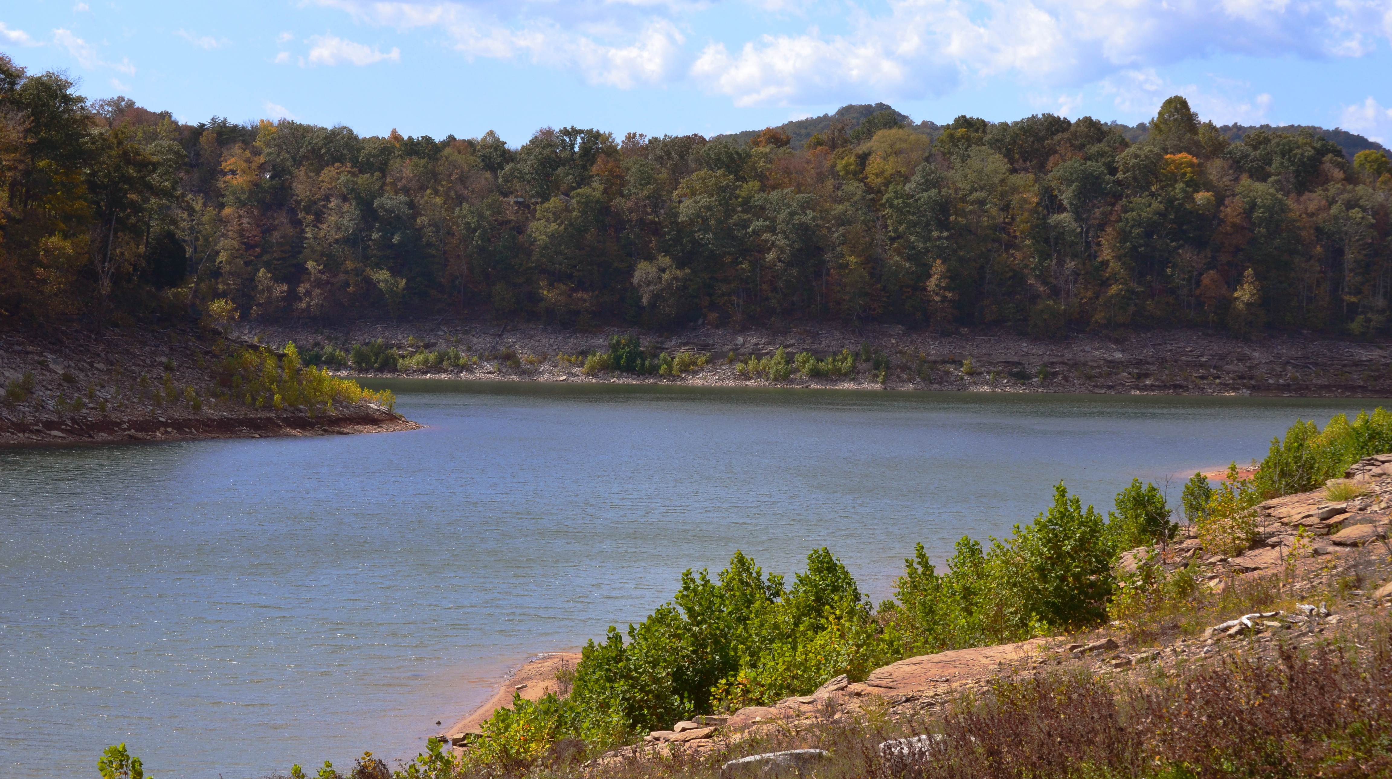
Beautiful View of Lake Cumberland
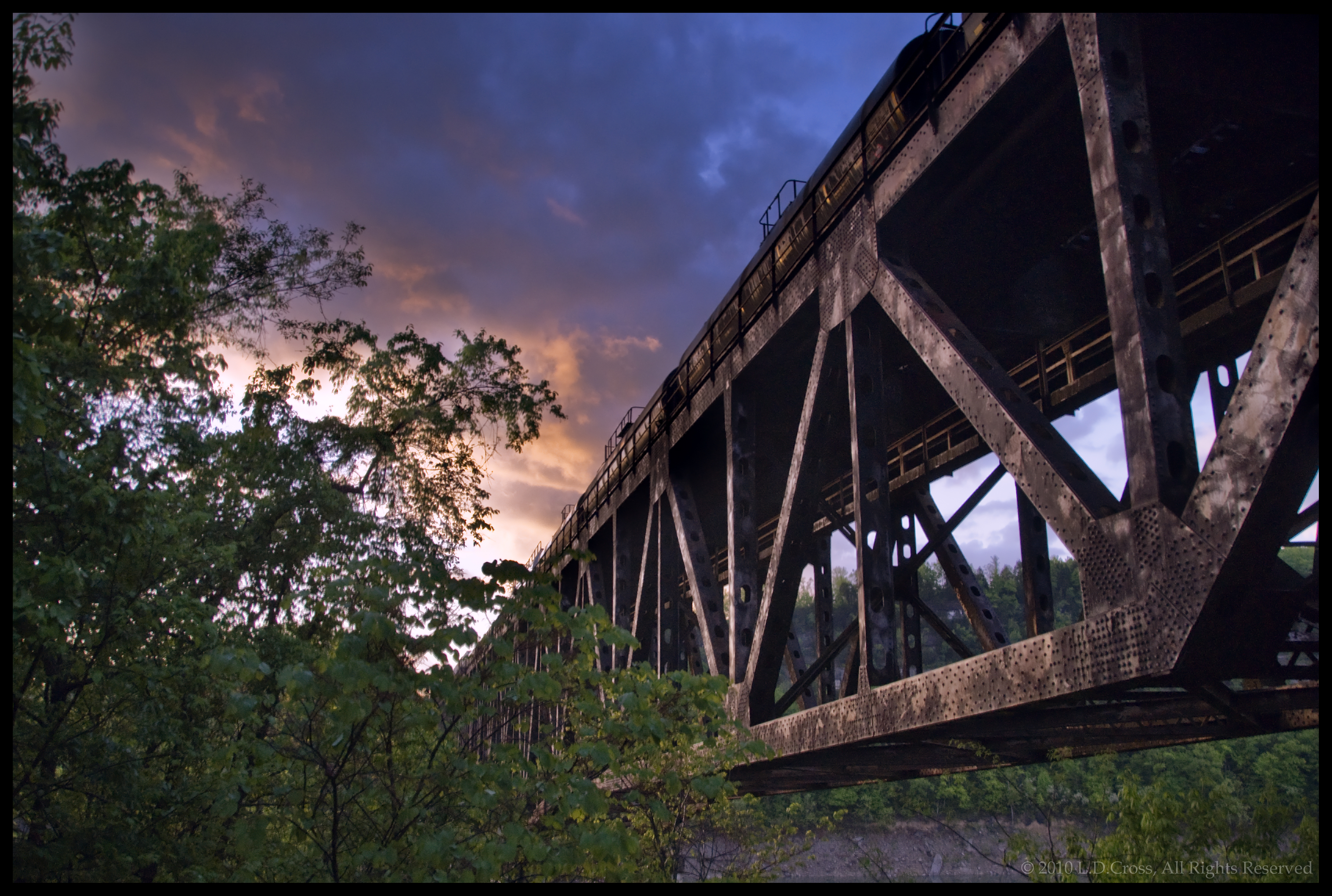
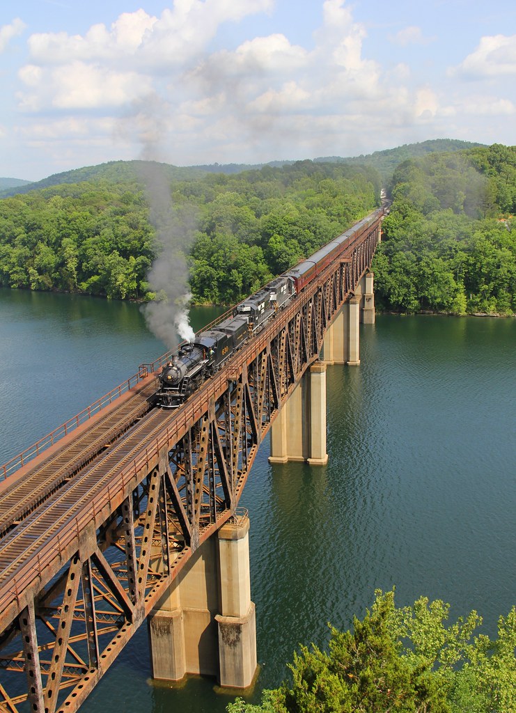
Burnside Kentucky Rail Bridge

Clear North View

Campground #5 - AFTER
Clear South View
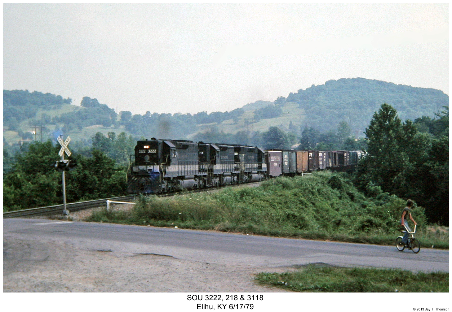
SOU 3222, 218 & 3118

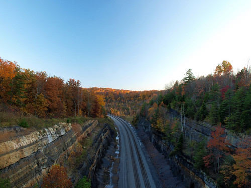
Pitman Creek
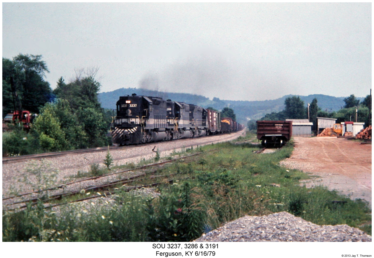
SOU 3237, 3286 & 3191
River Bend - Burnside, KY
NS 957, Burnside,KY 6/1/2014
wcr2-090

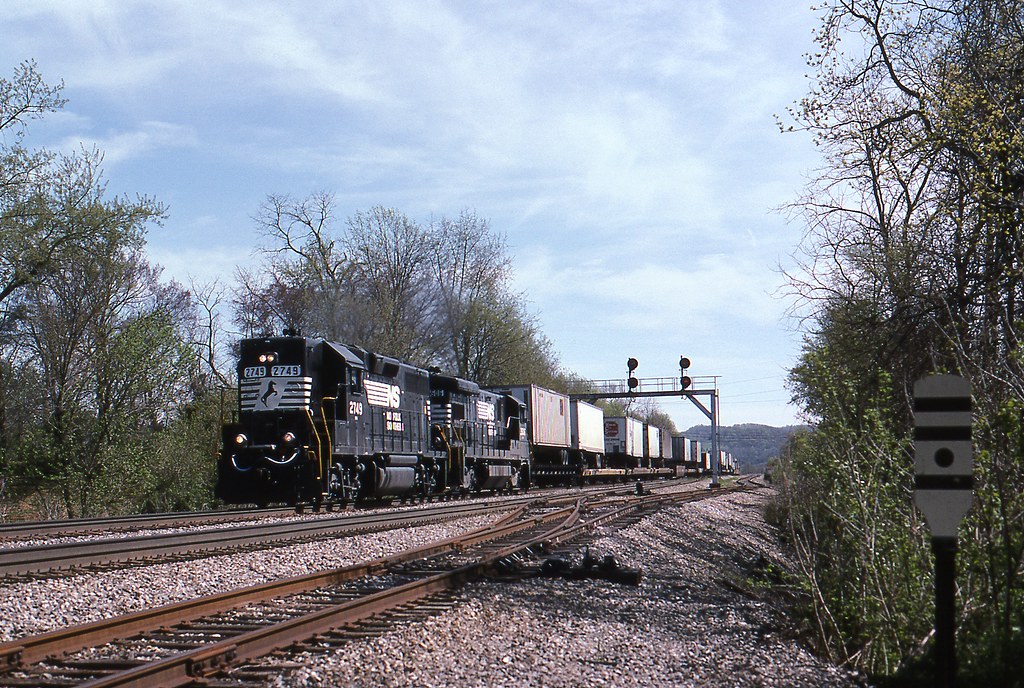
NS Train 295

10 stop marina
wcr2-056
sslc-054

wcr2-tr10-008
wcr2-tr10-008
wcr2-057
sslc-076

wcr2-056

NS 54A, Tateville, KY
wcr2-tr10-006
wcr2-057
wcr2-103
wcr2-tr10-019
Topographic Map of US-27, Burnside, KY, USA
Find elevation by address:

Places near US-27, Burnside, KY, USA:
Burnside
130 W Lakeshore Dr
Cooper Power Plant Road
Cooper Power Plant Road
General Burnside State Park
Bronston
45 Dogwood Trail
180 Waitsboro Cir
51 Valley Dale Dr
125 Slate Branch Rd
405 Alton Rd
1270 Ky-3057
135 Realty Ln
135 Realty Ln
Tuscany Drive
235 Taylor Cir
300 Somerset Refinery Rd
44 Morning Crossing Dr
Burnside, KY, USA
168 Lake Forest Dr
Recent Searches:
- Elevation of Beall Road, Beall Rd, Florida, USA
- Elevation of Leguwa, Nepal
- Elevation of County Rd, Enterprise, AL, USA
- Elevation of Kolchuginsky District, Vladimir Oblast, Russia
- Elevation of Shustino, Vladimir Oblast, Russia
- Elevation of Lampiasi St, Sarasota, FL, USA
- Elevation of Elwyn Dr, Roanoke Rapids, NC, USA
- Elevation of Congressional Dr, Stevensville, MD, USA
- Elevation of Bellview Rd, McLean, VA, USA
- Elevation of Stage Island Rd, Chatham, MA, USA