Elevation of Pulaski County, KY, USA
Location: United States > Kentucky >
Longitude: -84.522218
Latitude: 37.0853508
Elevation: 264m / 866feet
Barometric Pressure: 98KPa
Elevation Map:
Satellite Map:
Related Photos:
Rule of Thirds

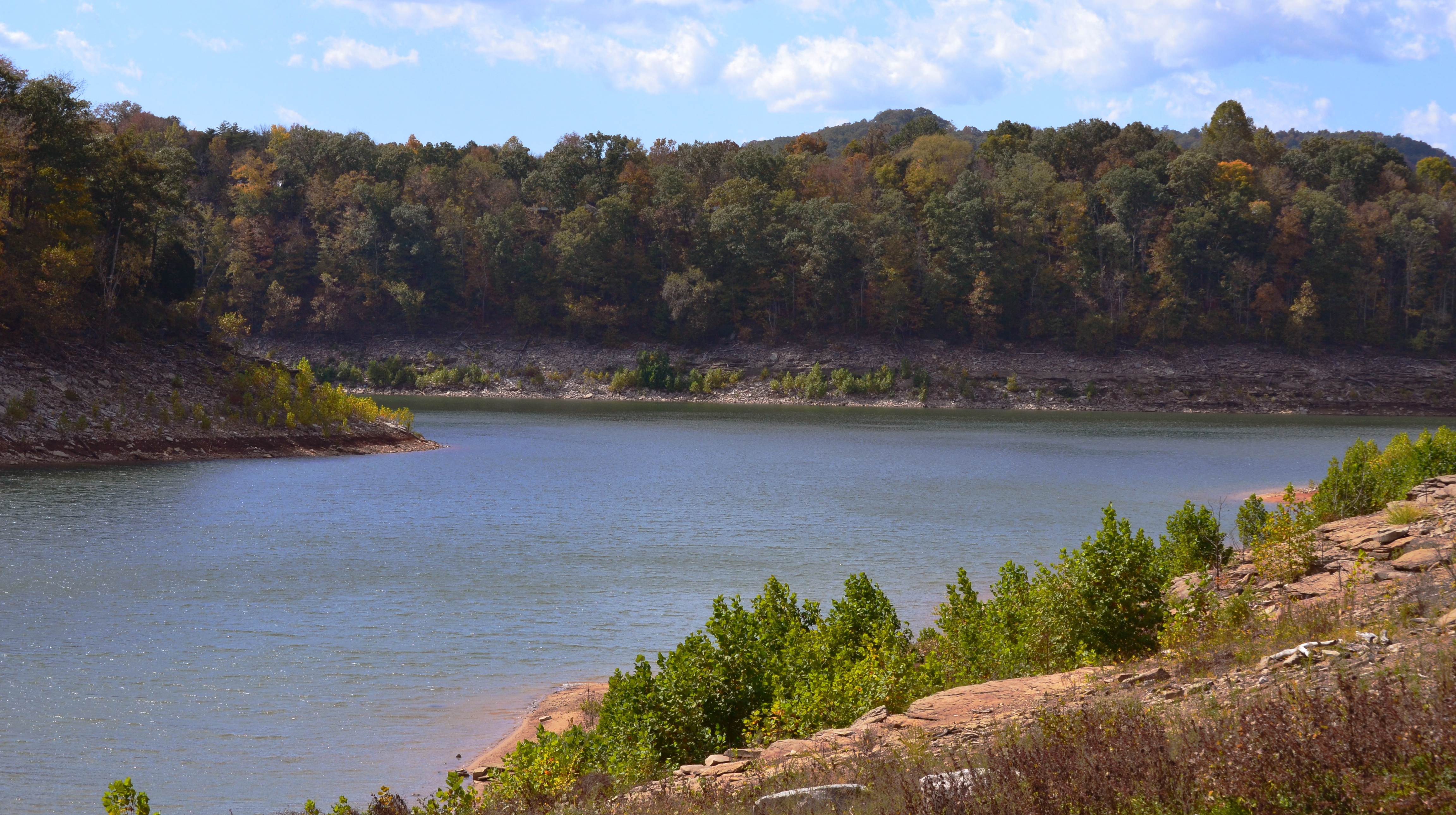
Beautiful View of Lake Cumberland
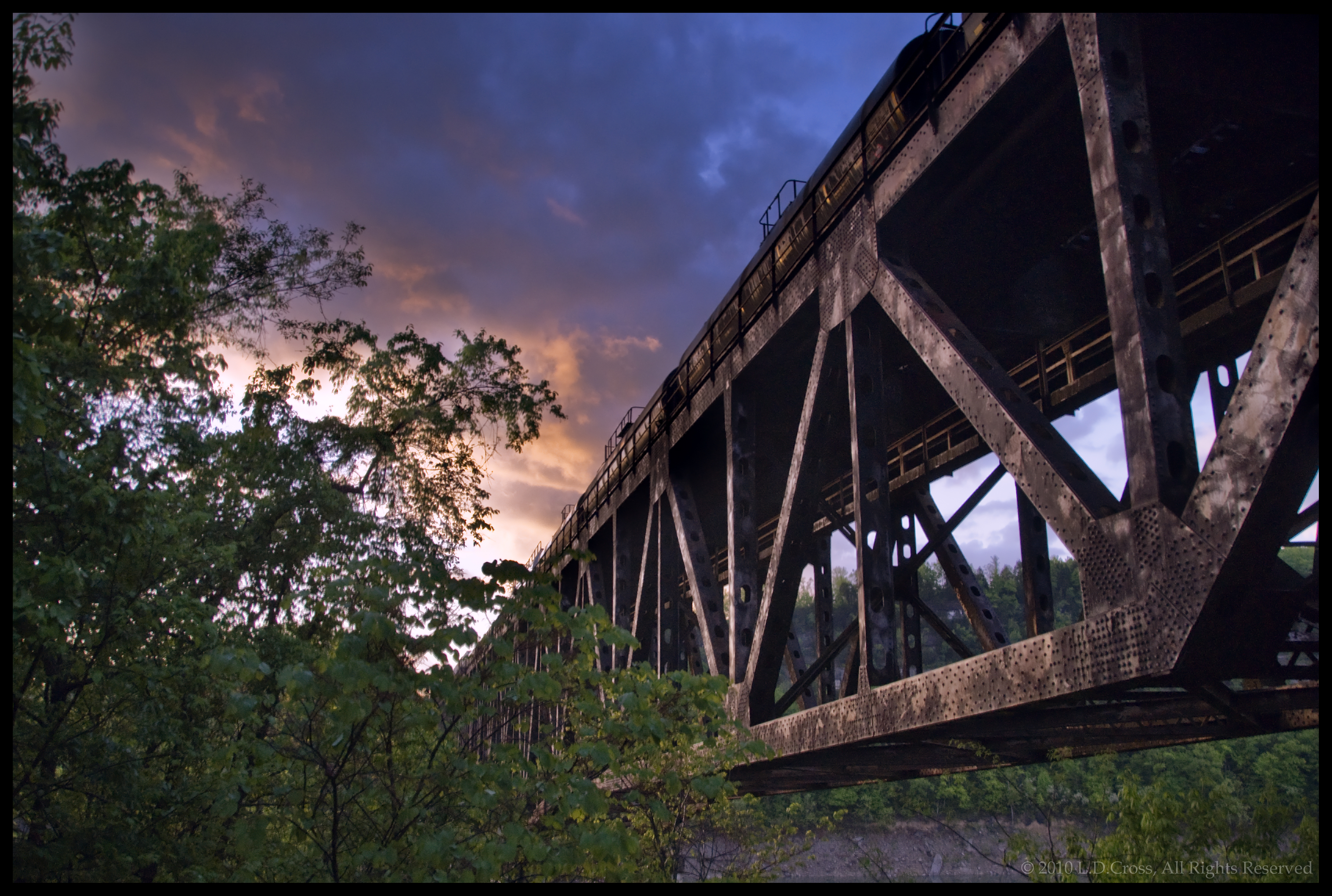
Burnside Kentucky Rail Bridge

Campground #5 - AFTER

Pitman Creek
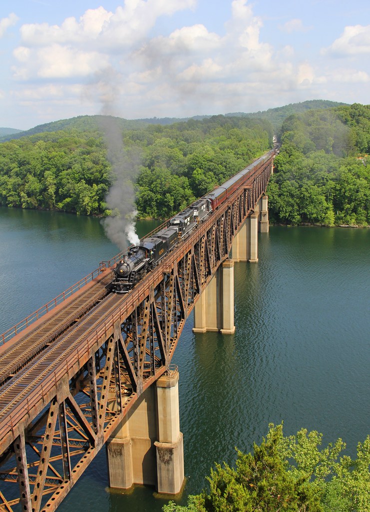
NS 957, Burnside,KY 6/1/2014

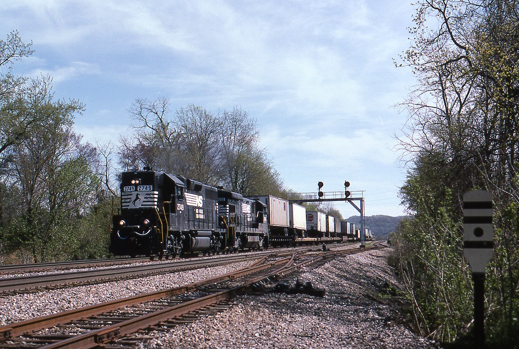
NS Train 295

10 stop marina
River Bend - Burnside, KY
wcr2-120
wcr2-111
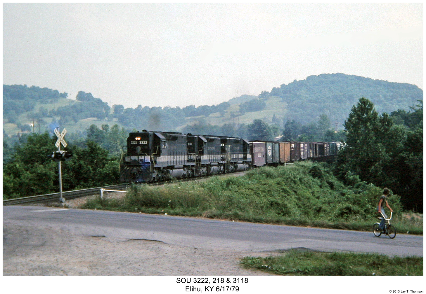
SOU 3222, 218 & 3118
wcr2-090
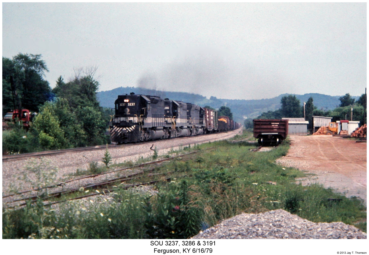
SOU 3237, 3286 & 3191
wcr2-056
sslc-054

wcr2-tr10-008
wcr2-tr10-008
wcr2-057
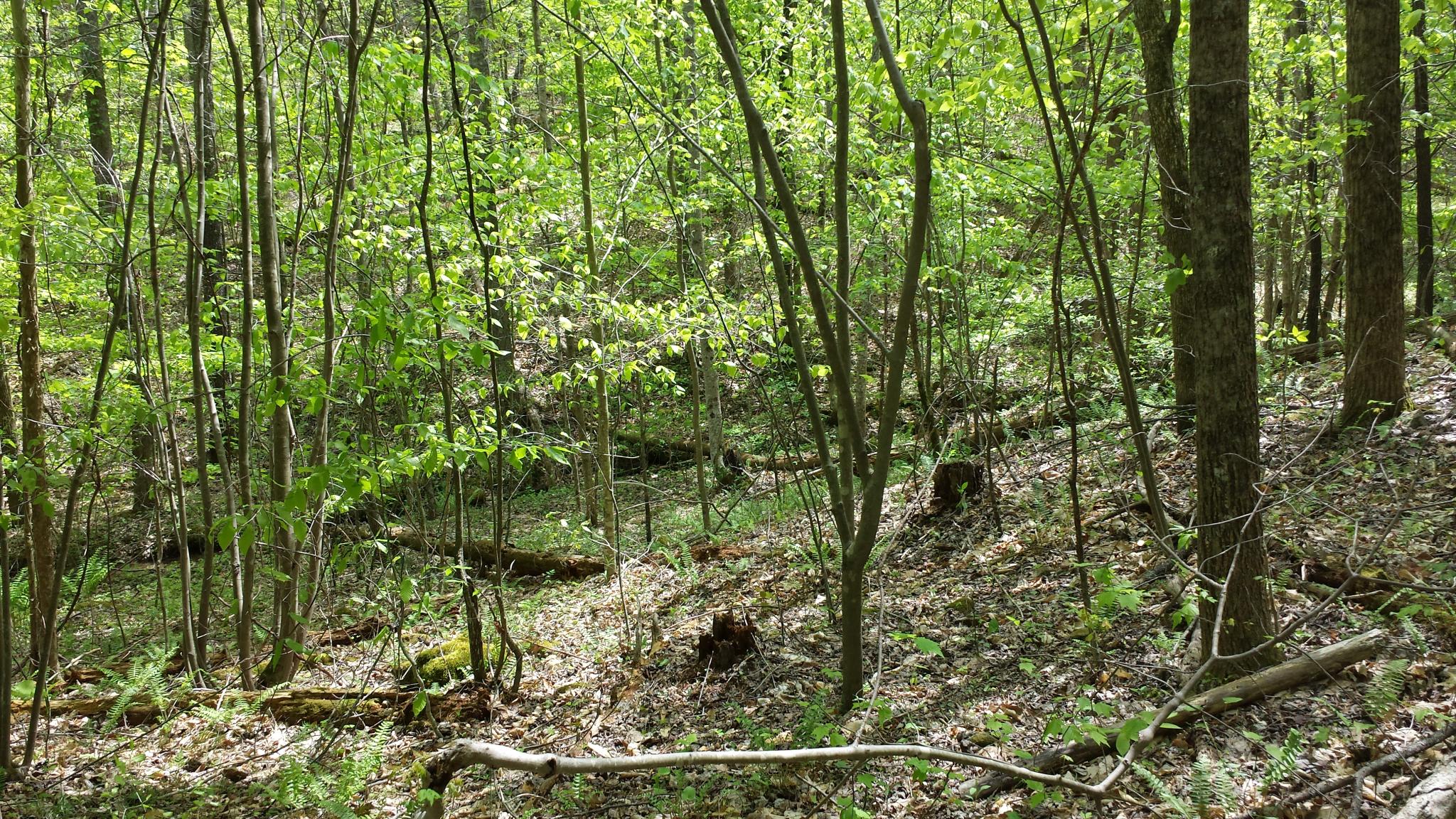
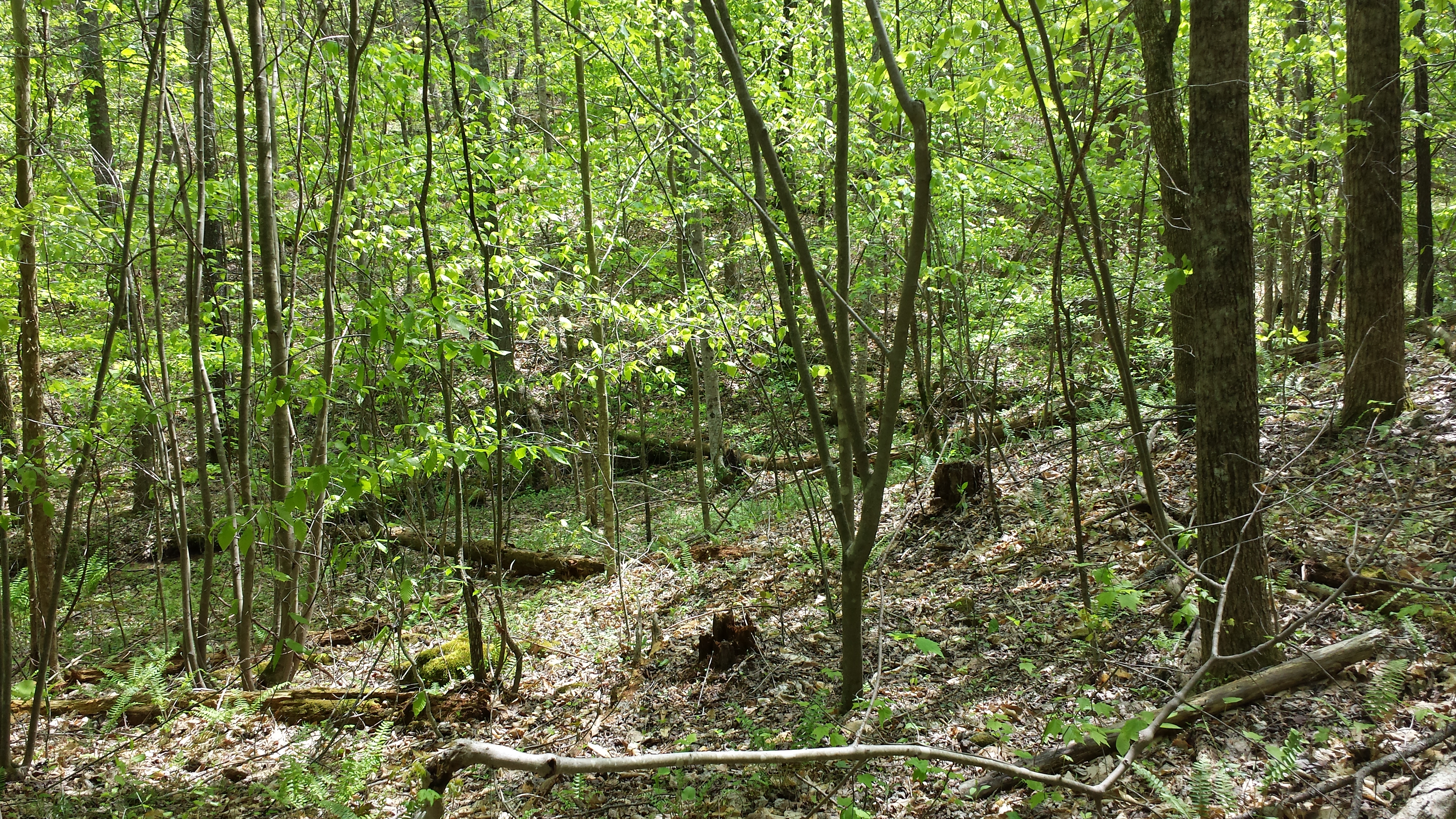
Living On the Edge Of the Forest
sslc-076

wcr2-056
wcr2-tr10-006
wcr2-057
wcr2-103
Topographic Map of Pulaski County, KY, USA
Find elevation by address:

Places in Pulaski County, KY, USA:
Places near Pulaski County, KY, USA:
181 Fern Dr
1270 Ky-3057
300 Somerset Refinery Rd
135 Realty Ln
135 Realty Ln
Cooper Power Plant Road
Cooper Power Plant Road
45 Dogwood Trail
125 Slate Branch Rd
Burnside
US-27, Burnside, KY, USA
130 W Lakeshore Dr
51 Valley Dale Dr
180 Waitsboro Cir
General Burnside State Park
405 Alton Rd
Bronston
Burnside, KY, USA
Tuscany Drive
44 Morning Crossing Dr
Recent Searches:
- Elevation of Corso Fratelli Cairoli, 35, Macerata MC, Italy
- Elevation of Tallevast Rd, Sarasota, FL, USA
- Elevation of 4th St E, Sonoma, CA, USA
- Elevation of Black Hollow Rd, Pennsdale, PA, USA
- Elevation of Oakland Ave, Williamsport, PA, USA
- Elevation of Pedrógão Grande, Portugal
- Elevation of Klee Dr, Martinsburg, WV, USA
- Elevation of Via Roma, Pieranica CR, Italy
- Elevation of Tavkvetili Mountain, Georgia
- Elevation of Hartfords Bluff Cir, Mt Pleasant, SC, USA