Elevation of Slate Branch Rd, Somerset, KY, USA
Location: United States > Kentucky > Pulaski County > Somerset >
Longitude: -84.629679
Latitude: 37.0313704
Elevation: 278m / 912feet
Barometric Pressure: 98KPa
Elevation Map:
Satellite Map:
Related Photos:
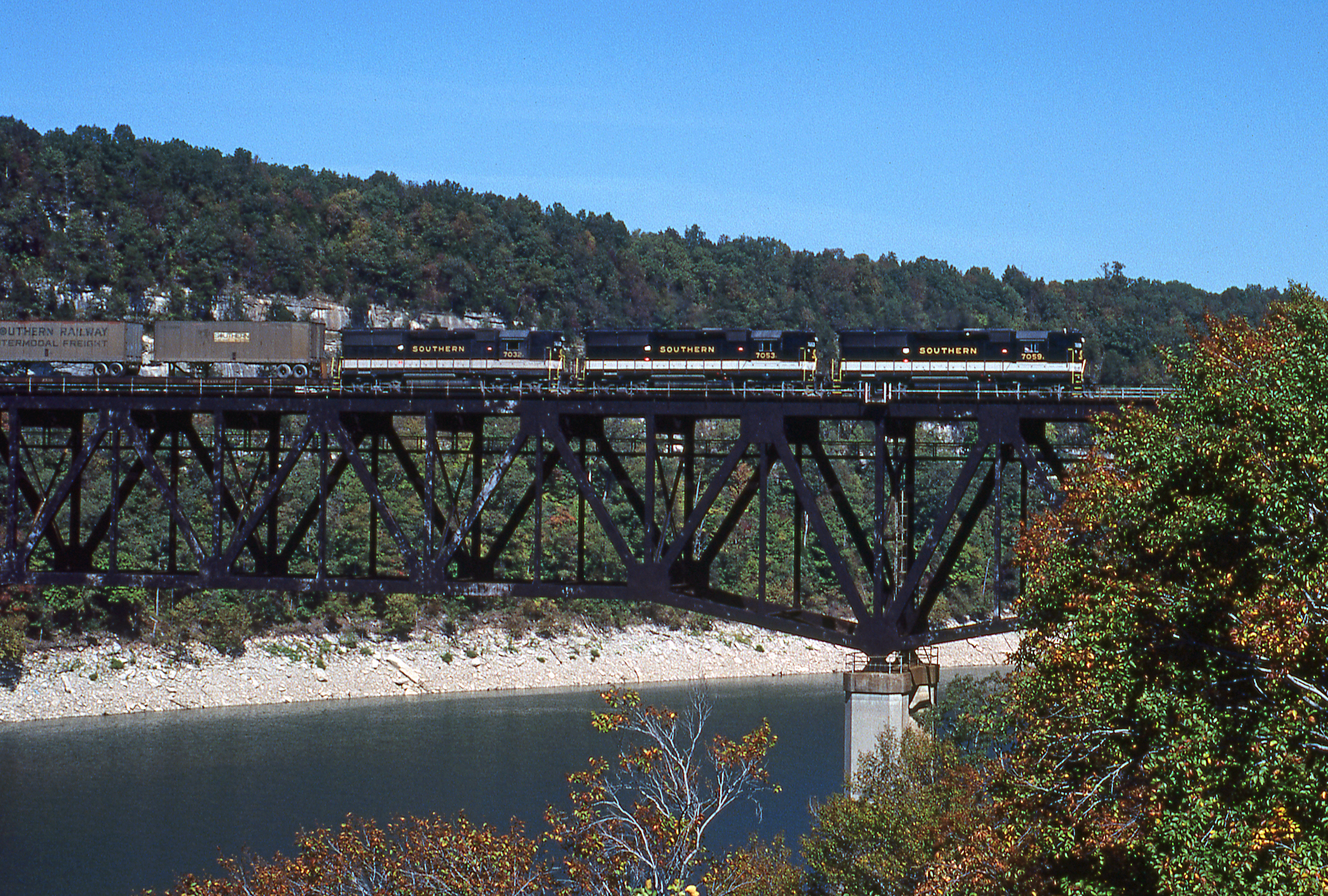
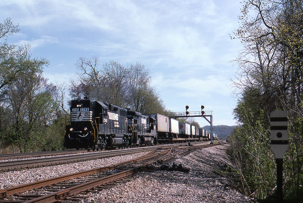
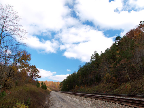
1981 09-30 1410 SR GP50-7059 S/B Burnside, KY

Clear North View
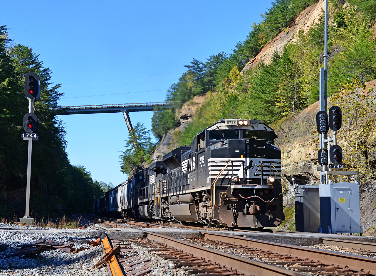
2018 10-17 1348-4 NS SD70M-2-2732 S/B 147 Burnside, KY
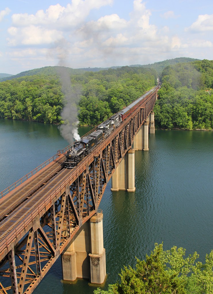
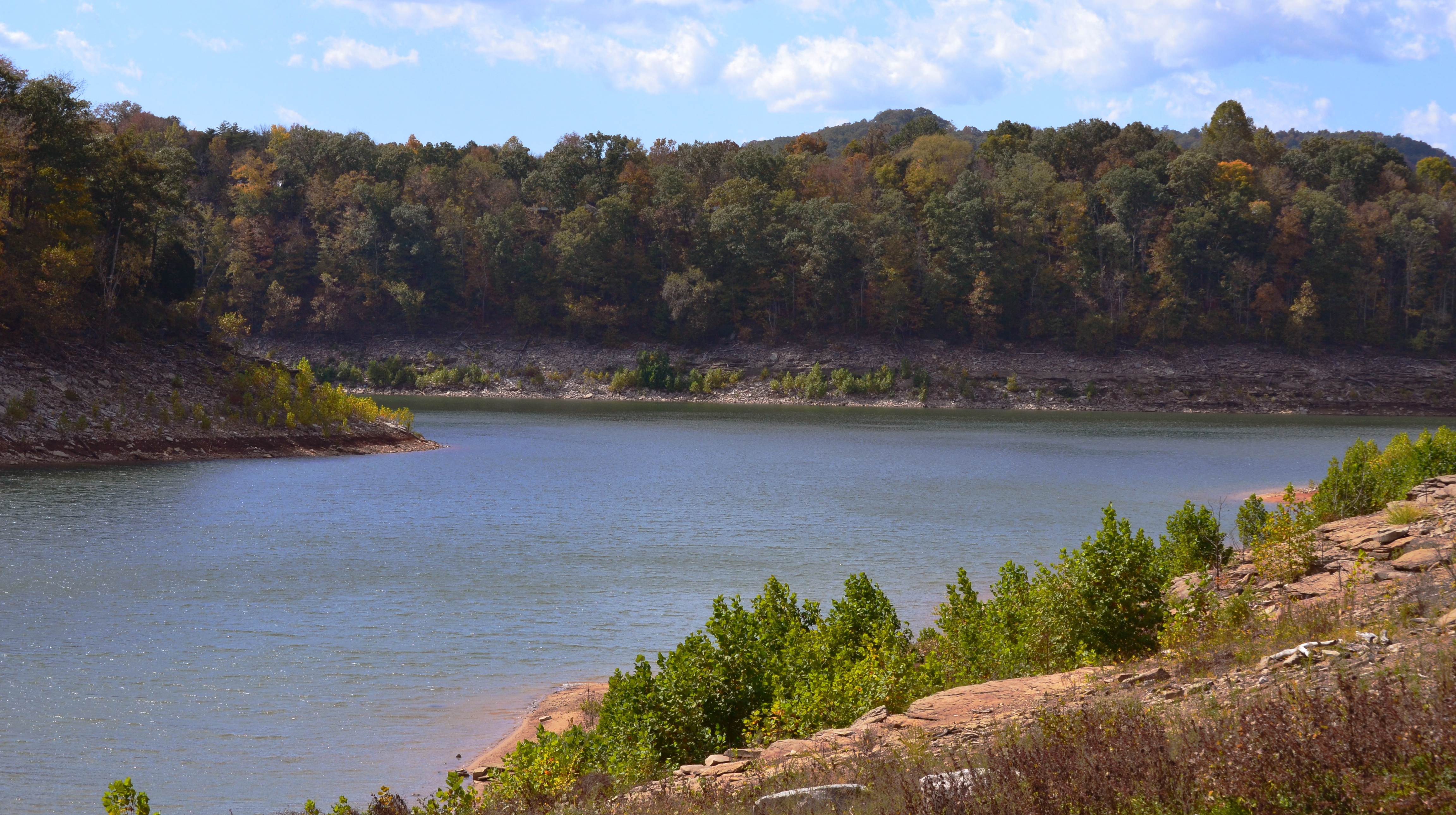
Beautiful View of Lake Cumberland
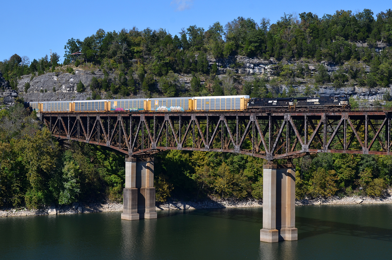
2018 10-17 1458-1 NS C40-9W-9642 S/B 285 Burnside, KY
Rule of Thirds
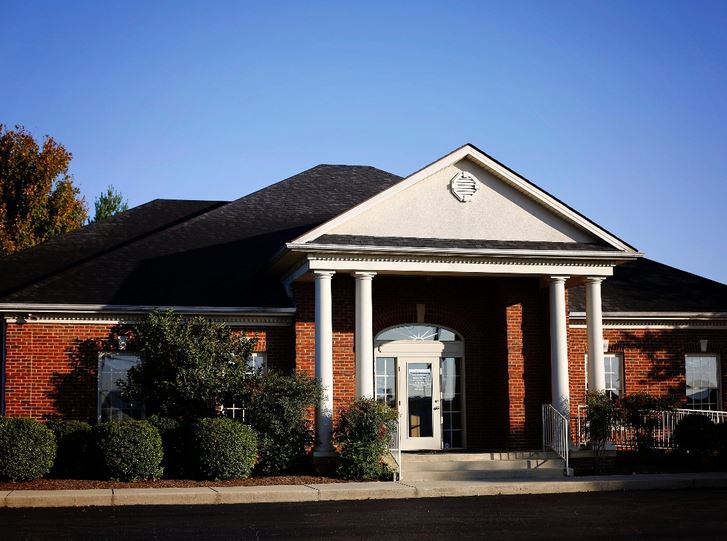
Exterior view

NS Train 54G

NS Train 295

Mill Springs Battlefield
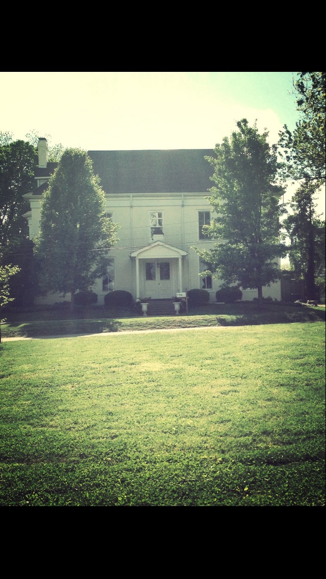
The Fox House, St. Patrick's Episcopal Church
NS 957, Burnside,KY 6/1/2014

NS Train 295

10 stop marina
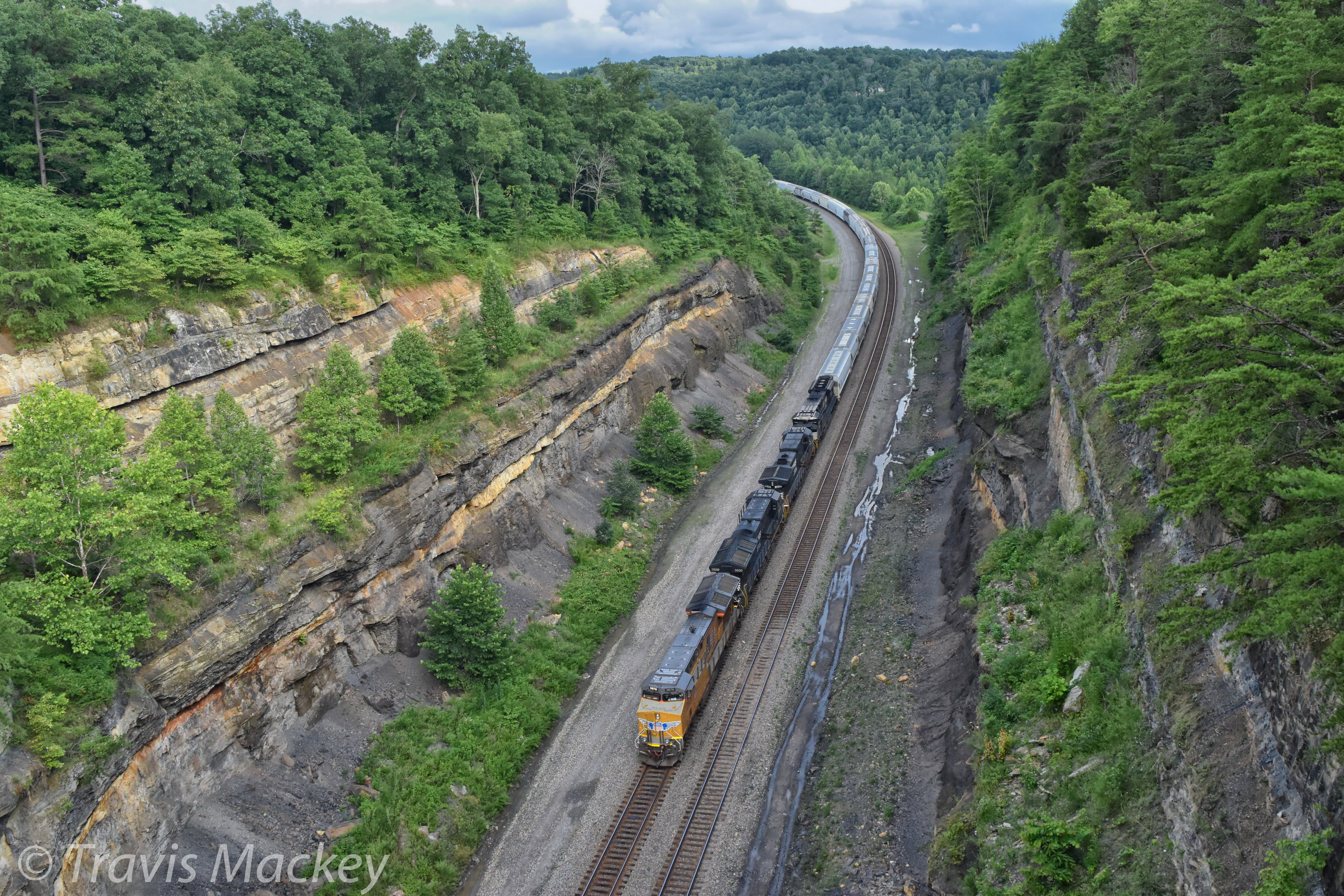
NS 132 at Keno Cut

NS Local T43

NS Train 215
wcr2-tr10-008
wcr2-056
wcr2-057
Clearing Sky
Somerset, Kentucky

wcr2-056
wcr2-tr10-006
River Bend - Burnside, KY
wcr2-022
wcr2-111
wcr2-020
Topographic Map of Slate Branch Rd, Somerset, KY, USA
Find elevation by address:

Places near Slate Branch Rd, Somerset, KY, USA:
51 Valley Dale Dr
180 Waitsboro Cir
45 Dogwood Trail
135 Realty Ln
135 Realty Ln
1270 Ky-3057
300 Somerset Refinery Rd
Cooper Power Plant Road
Cooper Power Plant Road
Bronston
US-27, Burnside, KY, USA
Tuscany Drive
Burnside
130 W Lakeshore Dr
44 Morning Crossing Dr
General Burnside State Park
168 Lake Forest Dr
235 Taylor Cir
145 Lake Walk Dr
166 Lake Walk Dr
Recent Searches:
- Elevation of 72-31 Metropolitan Ave, Middle Village, NY, USA
- Elevation of 76 Metropolitan Ave, Brooklyn, NY, USA
- Elevation of Alisal Rd, Solvang, CA, USA
- Elevation of Vista Blvd, Sparks, NV, USA
- Elevation of 15th Ave SE, St. Petersburg, FL, USA
- Elevation of Beall Road, Beall Rd, Florida, USA
- Elevation of Leguwa, Nepal
- Elevation of County Rd, Enterprise, AL, USA
- Elevation of Kolchuginsky District, Vladimir Oblast, Russia
- Elevation of Shustino, Vladimir Oblast, Russia