Elevation of Realty Ln, Somerset, KY, USA
Location: United States > Kentucky > Pulaski County > Somerset >
Longitude: -84.623297
Latitude: 37.0556935
Elevation: 273m / 896feet
Barometric Pressure: 98KPa
Elevation Map:
Satellite Map:
Related Photos:

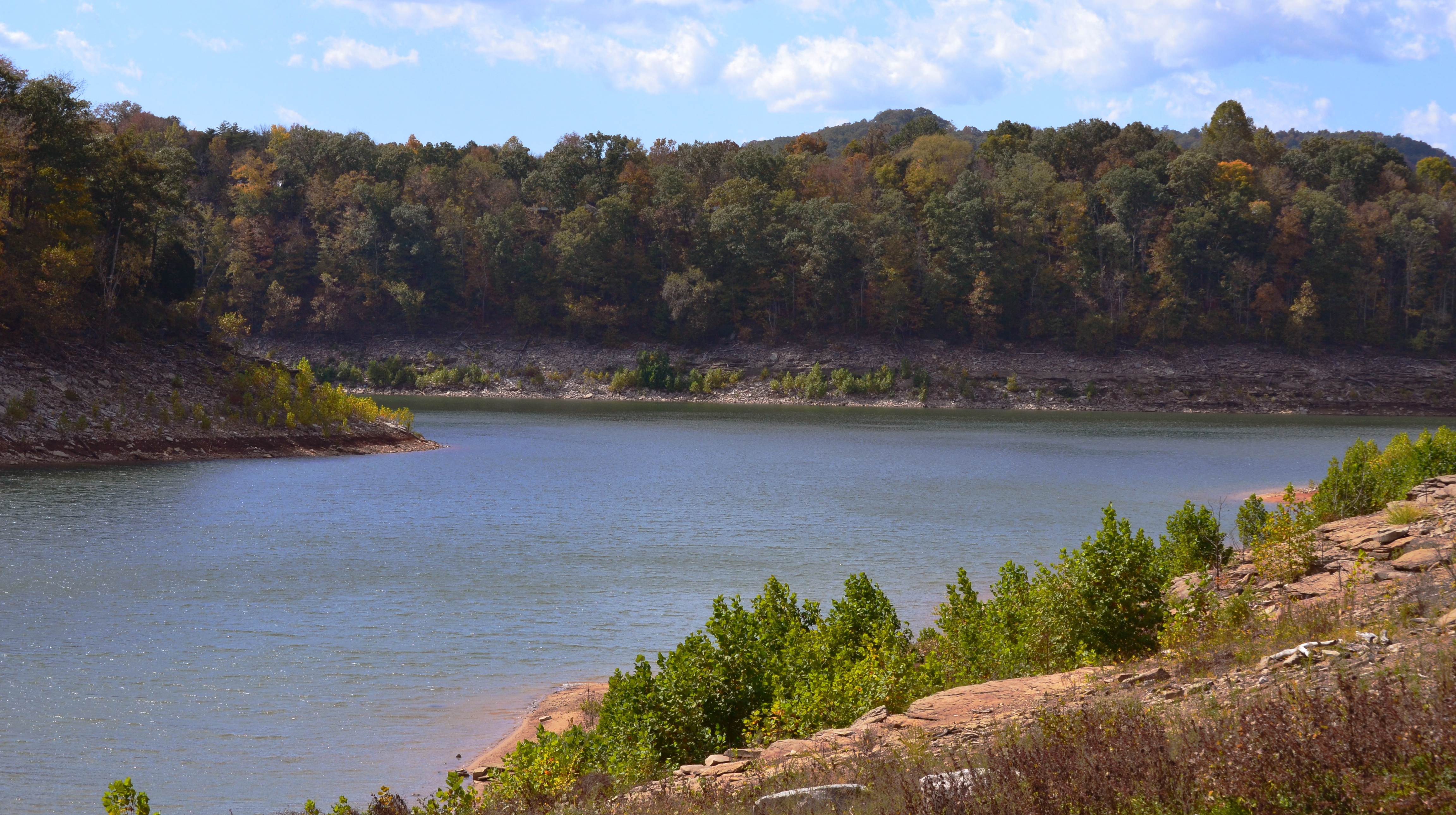
Beautiful View of Lake Cumberland
Rule of Thirds

Pleasant Hill Shaker Village
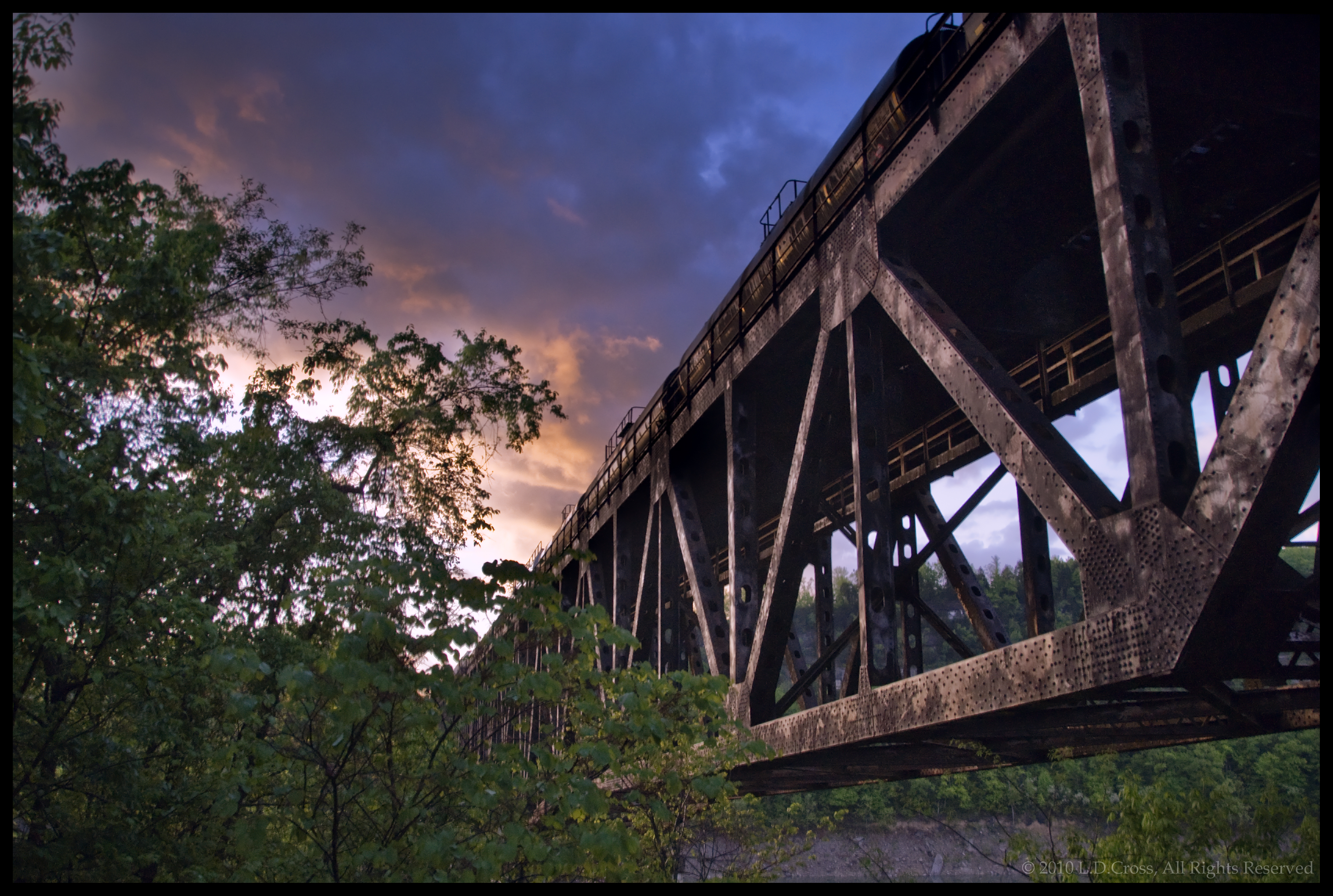
Burnside Kentucky Rail Bridge

Campground #5 - AFTER

Pitman Creek
NS 957, Burnside,KY 6/1/2014
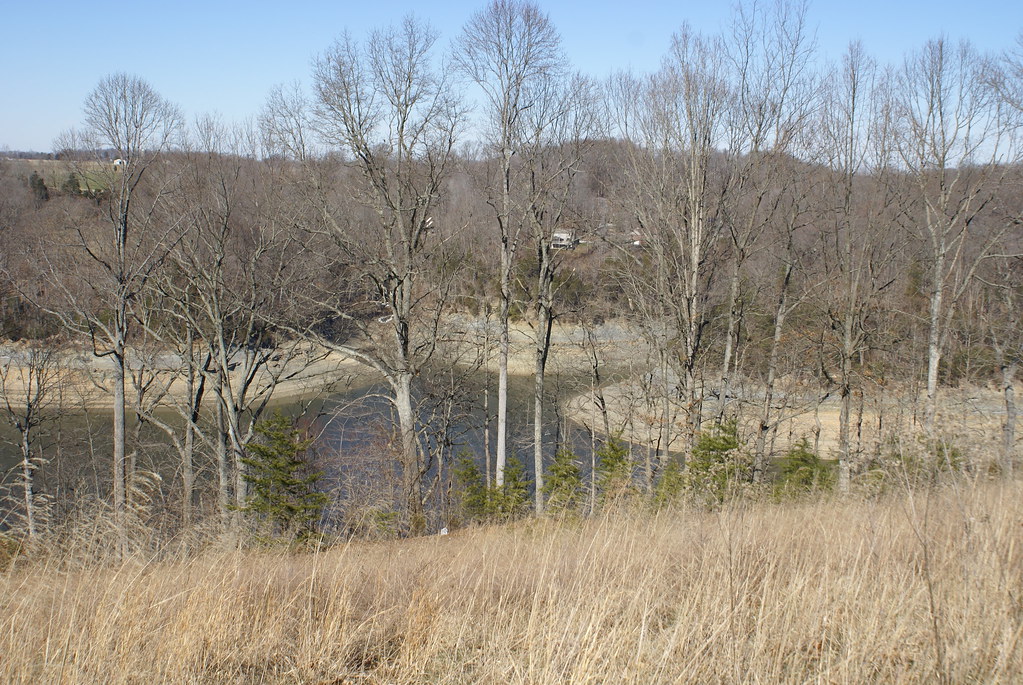
Lake Cumberland
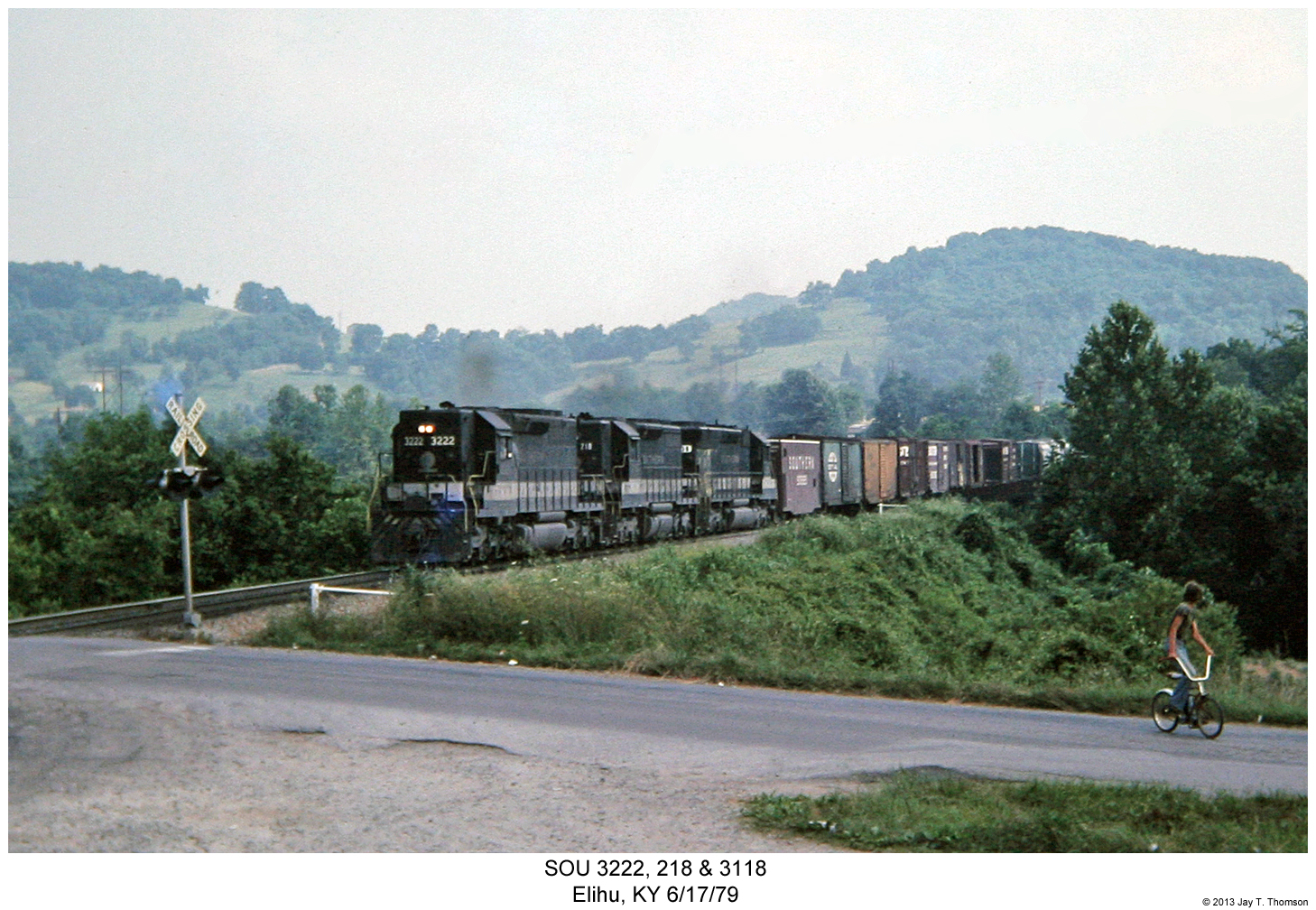
SOU 3222, 218 & 3118

10 stop marina
wcr2-090

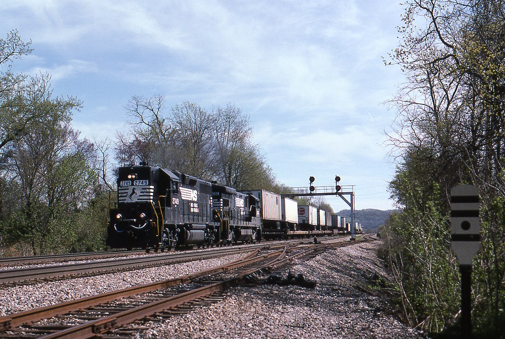
NS Train 295
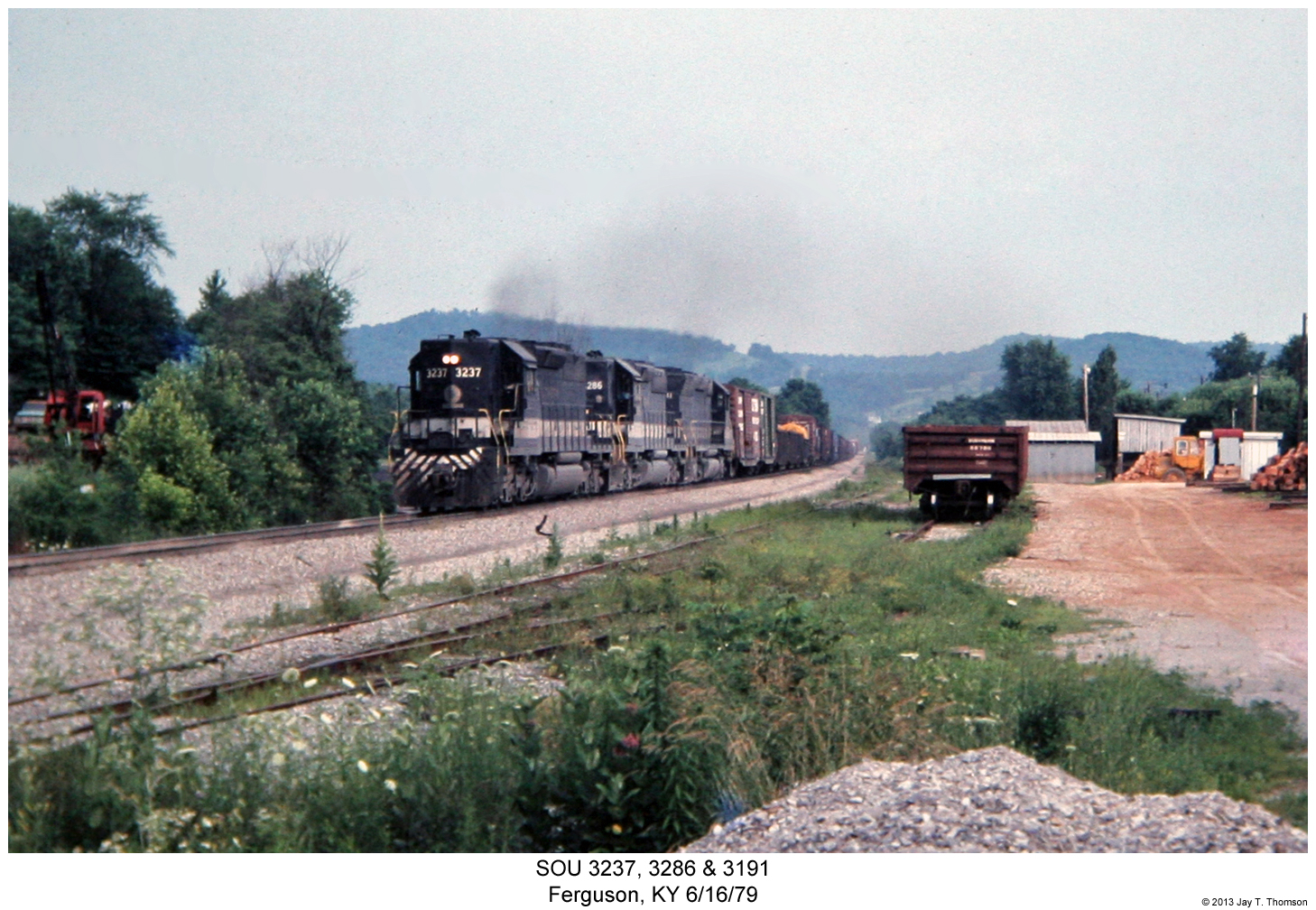
SOU 3237, 3286 & 3191

wcr2-tr10-008
sslc-054
wcr2-tr10-008

NS 54A, Tateville, KY
wcr2-057
wcr2-056
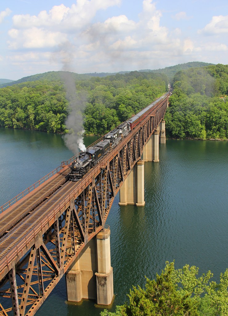
River Bend - Burnside, KY
wcr2-tr10-026
wcr2-057

wcr2-tr10-026
IMG_2333.JPG
wcr2-111
wcr2-022
Topographic Map of Realty Ln, Somerset, KY, USA
Find elevation by address:

Places near Realty Ln, Somerset, KY, USA:
135 Realty Ln
300 Somerset Refinery Rd
1270 Ky-3057
125 Slate Branch Rd
51 Valley Dale Dr
180 Waitsboro Cir
45 Dogwood Trail
181 Fern Dr
Cooper Power Plant Road
Cooper Power Plant Road
US-27, Burnside, KY, USA
Bronston
44 Morning Crossing Dr
Burnside
Tuscany Drive
130 W Lakeshore Dr
168 Lake Forest Dr
General Burnside State Park
145 Lake Walk Dr
163 Lake Walk Dr
Recent Searches:
- Elevation of Steadfast Ct, Daphne, AL, USA
- Elevation of Lagasgasan, X+CQH, Tiaong, Quezon, Philippines
- Elevation of Rojo Ct, Atascadero, CA, USA
- Elevation of Flagstaff Drive, Flagstaff Dr, North Carolina, USA
- Elevation of Avery Ln, Lakeland, FL, USA
- Elevation of Woolwine, VA, USA
- Elevation of Lumagwas Diversified Farmers Multi-Purpose Cooperative, Lumagwas, Adtuyon, RV32+MH7, Pangantucan, Bukidnon, Philippines
- Elevation of Homestead Ridge, New Braunfels, TX, USA
- Elevation of Orchard Road, Orchard Rd, Marlborough, NY, USA
- Elevation of 12 Hutchinson Woods Dr, Fletcher, NC, USA