Elevation of 19 Wigwam Dr, Colrain, MA, USA

Location: United States > Massachusetts > Franklin County > Heath >

Longitude: -72.788474

Latitude: 42.6765151

Elevation: 467m / 1532feet

Barometric Pressure: 96KPa

Elevation Map:

elevation map of 19 Wigwam Dr, Colrain, MA, USA

Satellite Map:

Satellite map of 19 Wigwam Dr, Colrain, MA, USA

Related Photos:

shelburne ma usa shelburnefalls reflections deerfieldriver landscape fall autumn photobygeorgerex imagesgeorgerex newengland
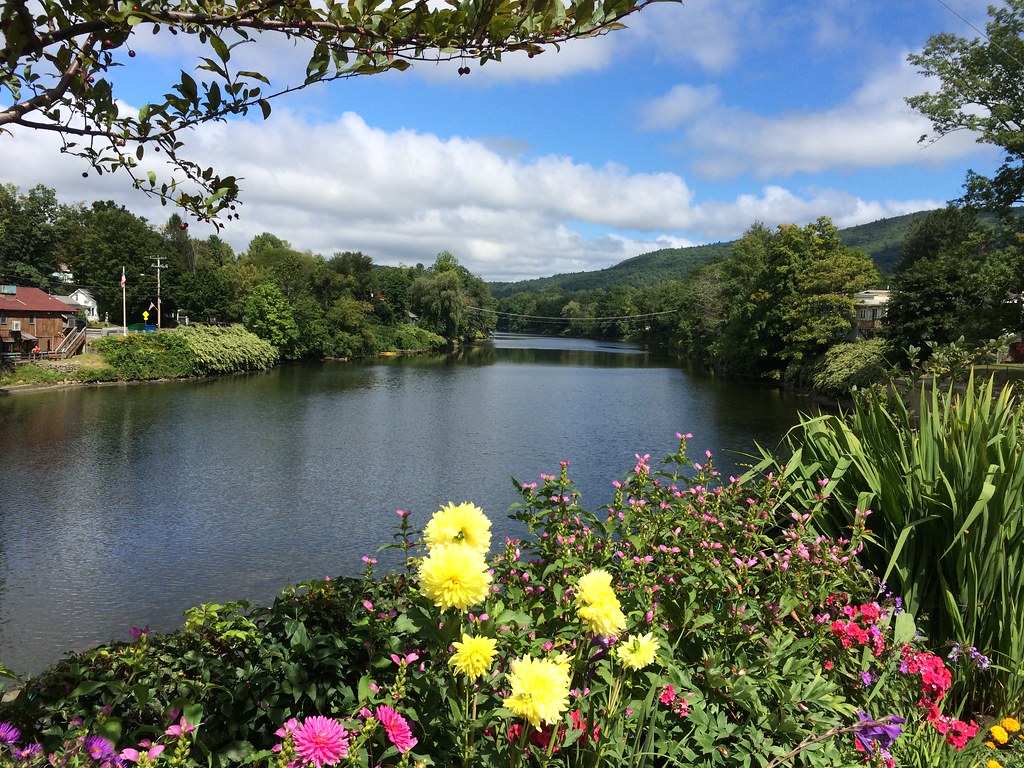
Shelburne Falls / Vista
Bridge of Flowers
Bridge of Flowers
lake water vermont whittingham harrimanreservoir lakewhittingham blueskiesandbluewater whatanicepicnicarea
A Place to Sit
summer water smiling river fun happy warm weekend greenriver splash serendipity playful spontaneous splashing gemmifer
summer weekend
dahlia white flower macro nature naturesfinest supershot impressedbeauty superbmasterpiece
White Dahlia
summer vermont vob harrimanreservoir lakewhittingham
In Search of a Cool Breeze
ski sports bike race outdoors kayak 5 run adventure event athletes fitness pentathlon zoar charlemontma berkshirehighlandspentathlon berkshireeastskiarea berkshirehighlandspentathlon2012
Berkshire Highlands Pentathlon 2012
longexposure sepia blackbrook rockslotsofrocks noididntdunkanyequipment iknowyouwerethinkingthat thisishowthebrookwouldhavelookedifmathewbradytookthisshot
Sepia Saturation
athlete runner competitor pentathlon berkshirehighlandspentathlon2012
Berkshire Highlands Pentathlon 1
river boat kayak kayaking boating kayaker boater pentathlon deerfieldriver berkshirehighlandspentathlon2012
Berkshire Highlands Pentathlon 3
autumn nikon massachusetts shelburnefalls d3100 smack53
Shelburne Falls 0411-0417 Panorama
mohawktrail ma massachusetts souvenirs
Native Views store
Art in the Shadows - Pan Am Edition
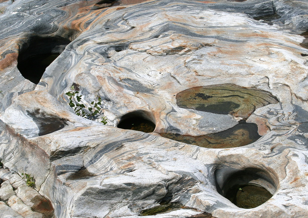
nature water rock massachusetts explore glacialpotholes shelburnefallsma
Glacial Potholes
Bridge of Flowers
film massachusetts newengland roadsideattraction greenfield smalltown fujisuperiaxtra400 plasticlens c41 westernma vivitarultrawideandslim vivitarultrawidelens22mm
Long View Tower
massachusetts waterfalls nightphotos bridgeofflowers shelburnefalls bershires troutfishing ithinkthisisartaward timelapsephotos scenicsnotjustlandscapes youarealightpainter shf112608 oldsalmomfalls salmontreatysite reallycoloursoflife
Old Man of the Falls
mohawktrail colorphoto outdoor outdoors attraction roadsideattraction roadsideamerica tradingpost building architecture parkinglot nativeviewstradingpost newengland shelburnemassachusetts shelburne rte2 route2 indian americanindian souvenirs gifts indiancrafts moccasins statue indianstatue nativeamerican thebigindian landmark iconiclandmark spear bigindian bigindianshop massachusetts sky tree trees giftshop
Native Views Trading Post on the Mohawk Trail in Shelburne Falls, Massachusetts
dahlia flower bridgeofflowers abigfave estremitĂ 
Sunshine in the Rain
tree fallcolors fallfarmland pasture farmusdadepartmentofagricultureusdepartmentofagricultureaerialfruittreesappleorchardfarmbarn
20191016-NRCS-LSC-0004
autumninnewengland autumn color colorful mohawktrail deerfieldriver sonya7ii sonyvariotessartfe1635mmf4za foliage forest water river rocks fall landscape landscapephotography fantasticnature
Cold River, Mohawk Trail (6482) 1
autumn fall massachusetts foliage berkshires mohawktrail route2 charlemont
Buckland on Deerfield
Chickley River
Shelburne Falls
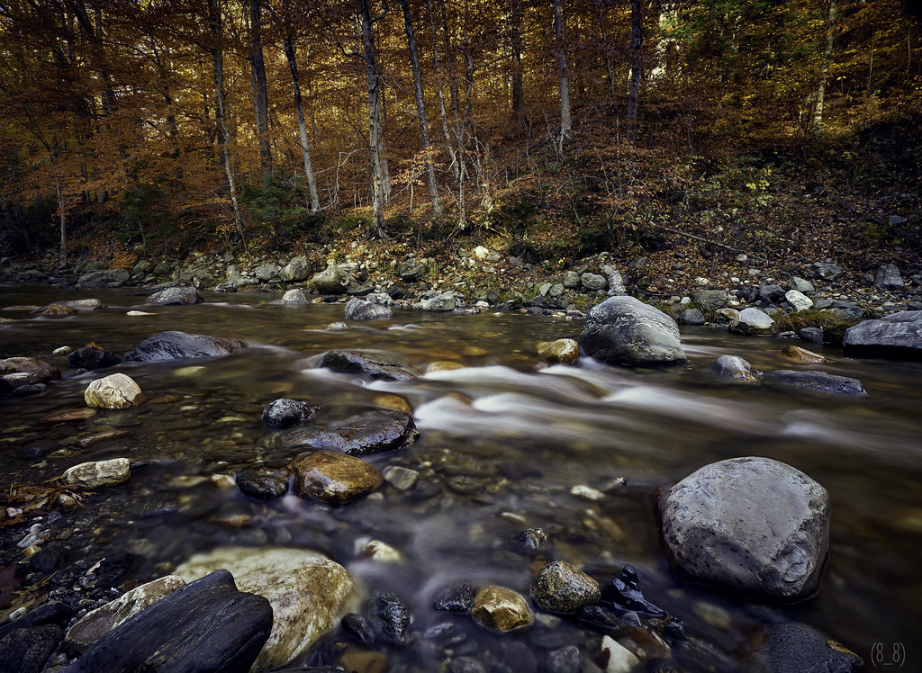
October on The Deerfield
Along the Canal on Rt. 112 in Colrain....
winter landscape ma massachusetts newengland berkshires backroads rowe
northern berkshire winterscape
massachusetts
Rowe, Massachusetts
road new trees 2 england mist mountains west fall leather statue shop fog shirt forest souvenirs big wolf native hiking massachusetts indian chief famous feathers route trail gifts evergreen american bow 1984 western americans pontiac arrow teepee roadside mass rattlesnake attraction datsun maxima headdress moccasins geronimo 5speed buffallo rt2 bigindian souveners
"Big Indian Shop" on the Mohawk Trail
birds ma wilsonswarbler hawleybog cardellinapusilla
Wilson's Warbler
bridge usa river ma flood massachusetts newengland greenriver coveredbridge greenfield hurricaneirene eunicewilliamsbridge charleskellogg eunicewilliams charlesgkellogg charliekellogg greenriverpumpingstation copyright2011
View Upriver from West Side to Hurricane Damaged Eunice Williams Covered Bridge
bridge usa river ma flood massachusetts newengland greenriver coveredbridge greenfield hurricaneirene eunicewilliamsbridge charleskellogg eunicewilliams charlesgkellogg charliekellogg greenriverpumpingstation copyright2011
View Upriver from East Side to Hurricane Damaged Eunice Williams Covered Bridge
massachusetts ironbridge buckland shelburnefalls haer historicbridge deerfieldriver nationalregisterofhistoricplaces franklincounty historicamericanengineeringrecord trussbridge nrhp bridgestreetbridge throughtruss thrutruss warrentruss warrenthroughtruss doubleintersectionwarrentruss doubleintersectionwarrenthroughtruss doublewarrenthroughtruss vermontconstructioncompany shelburnefallsbridge
Shelburne Falls Bridge (Shelburne Falls, Massachusetts)
clouds longexposure cloudscape cloudy blackandwhite blackwhite landscape landscapephotography shelburnefalls massachusetts pioneervalley dawn goldenhour
Hill, fencepost and clouds (5180) 1
massachusetts shelburne connecticutriver
Hibiscus, Rose of Sharon, Dahlia and other floral delights on
massachusetts franklincounty bridgeofflowers shelburnefalls
The Bridge of Flowers in peak season
shelburnefalls buckland massachusetts river bridge flowers summer connecticutriver gardens
The Bridge of Flowers
waterfall colrain mountain rt112 canal
Waterfall and side canal