Elevation of 10 Royer Rd, Heath, MA, USA
Location: United States > Massachusetts > Franklin County > Heath >
Longitude: -72.833871
Latitude: 42.6701439
Elevation: 459m / 1506feet
Barometric Pressure: 96KPa
Elevation Map:
Satellite Map:
Related Photos:

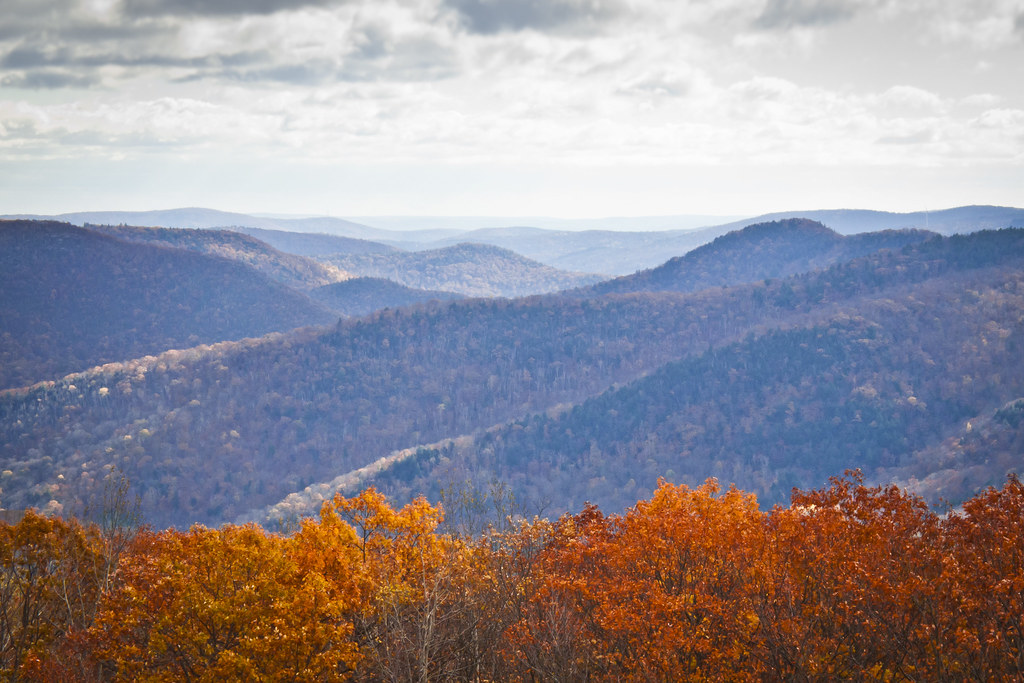
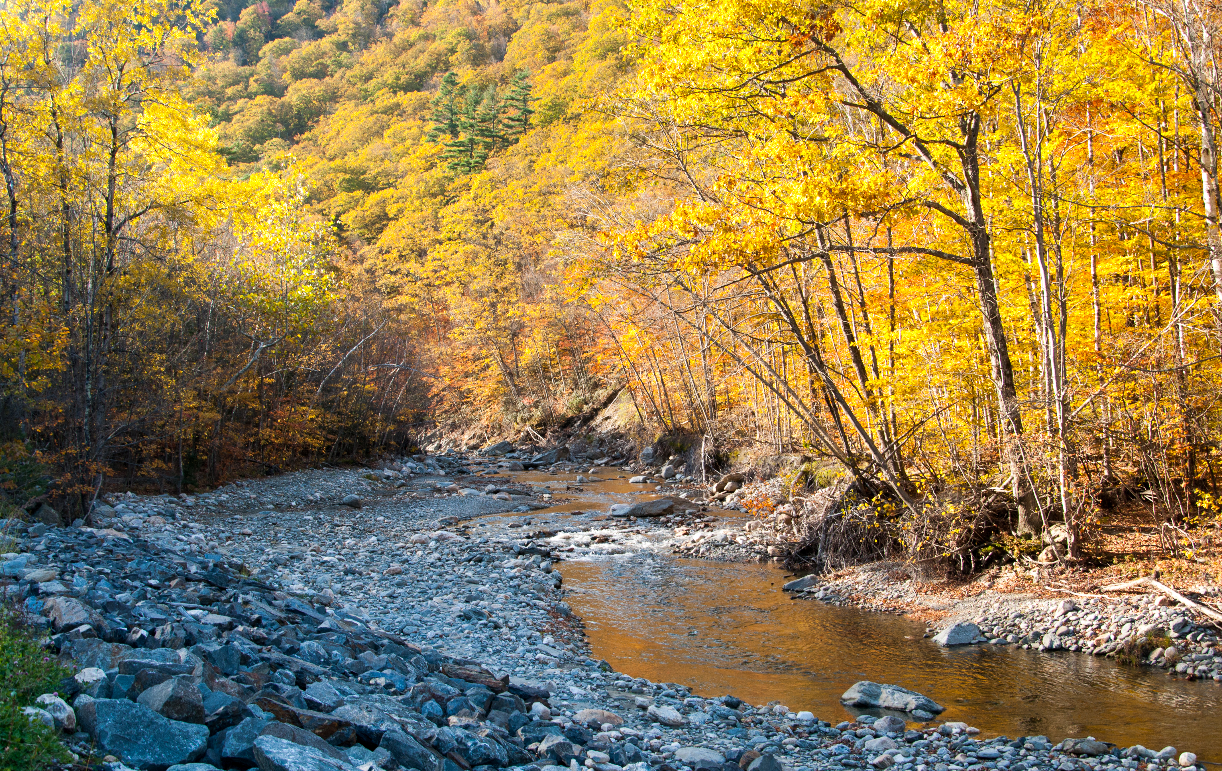
Berkshire Blues
Twin Cascade #4
Twin Cascade 1

Sunshine in the Rain

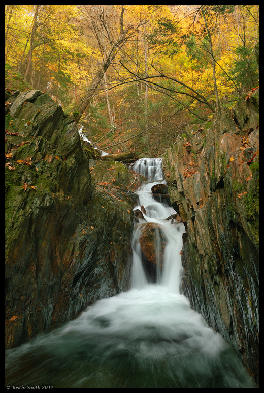
Old Man of the Falls
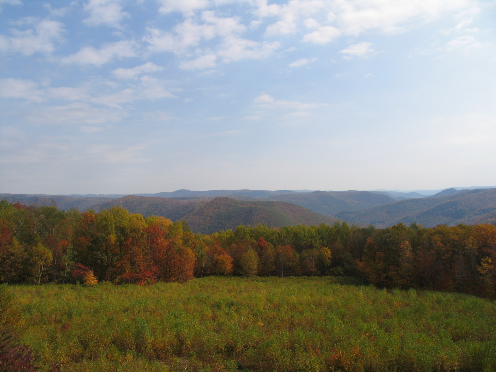
View from Whitcomb Summit

A Grating View

View from the Roundhouse

Gorgeous Dahlia
Hanging Around by the River
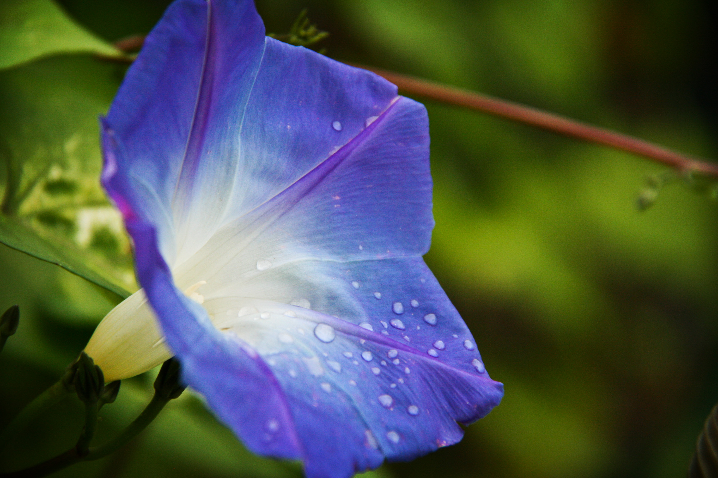
Blue after the rain
View from Whitcomb Summit Motel
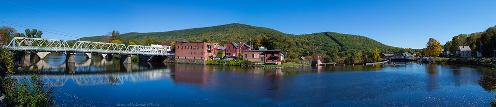
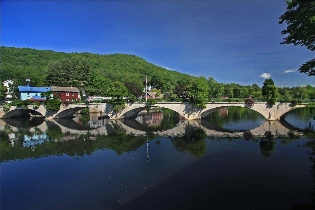
Shelburne Falls 0411-0417 Panorama
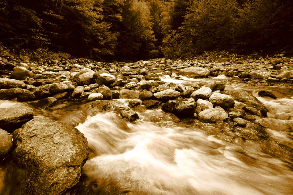
Sepia Saturation

White Dahlia
Bridge of Flowers

it's not about the destination, it's about the journey

View of Zoar Gap - Quite A Hike
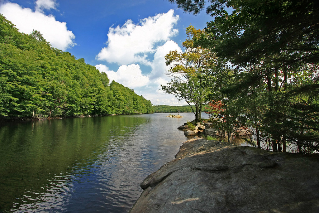
In Search of a Cool Breeze
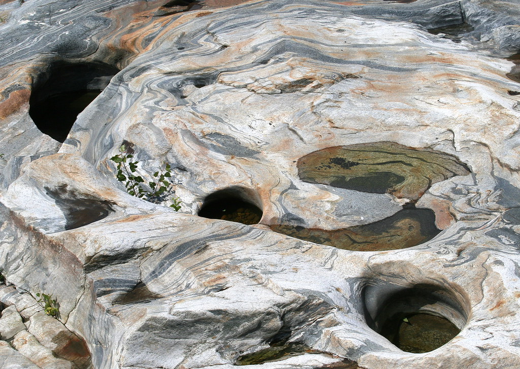
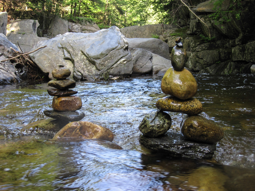
Glacial Potholes

Eastern Summit pano.jpg
2011 Out-takes #4/6
Morning at the summit
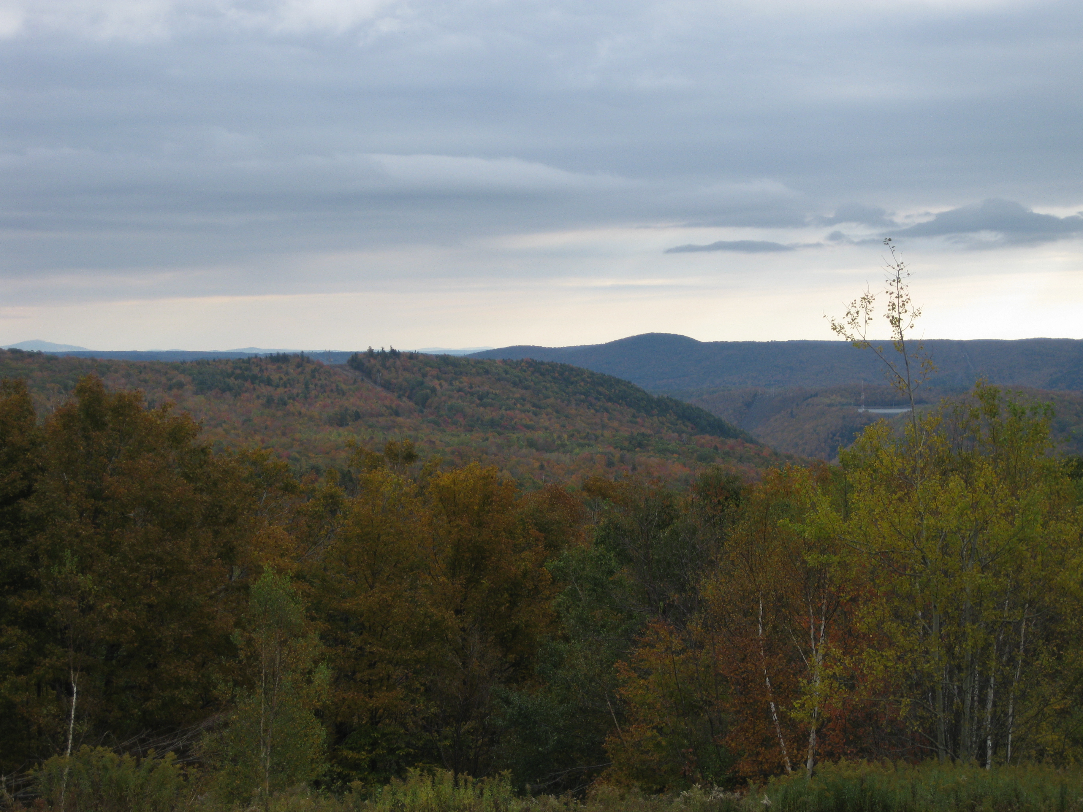
northern berkshire winterscape
Florida, Massachusetts
Constant II. 1/4 second @f/22 #waterfall #waterflow #vermontshots #70d #10to18mm review is now available. @jicebee you are right, better with rock cropped.

Florida, MA. 2012
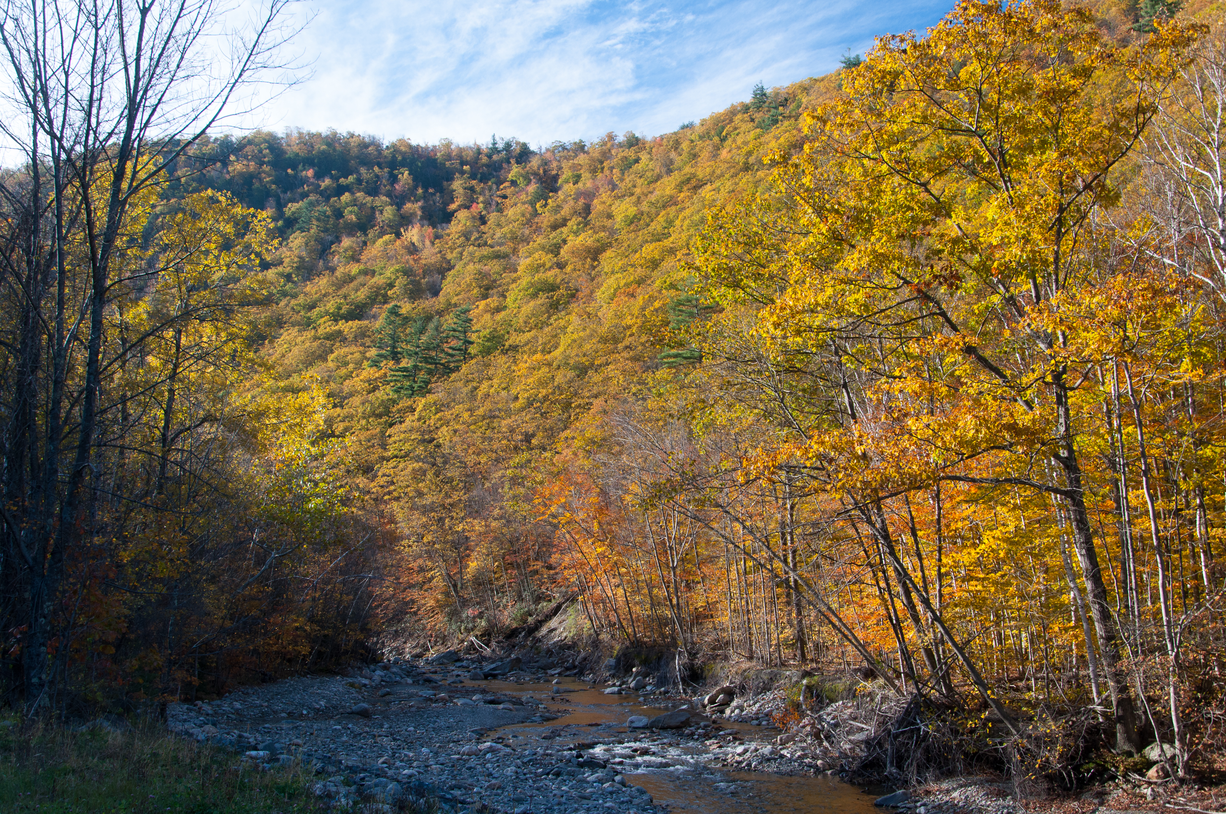
Autumn foliage Scenery at Green Mountains, Florida, Massachusetts

PAR 1 at Florida, MA

Autumn foliage Scenery at Green Mountains, Florida, Massachusetts
Rocks at Halifax
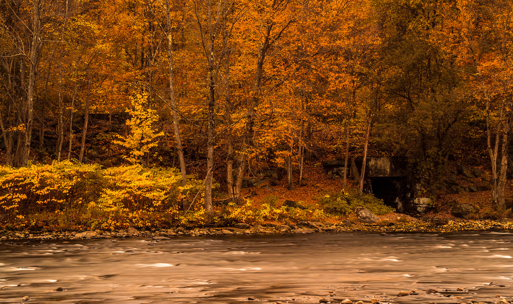
Buckland on Deerfield

at Savoy Forest
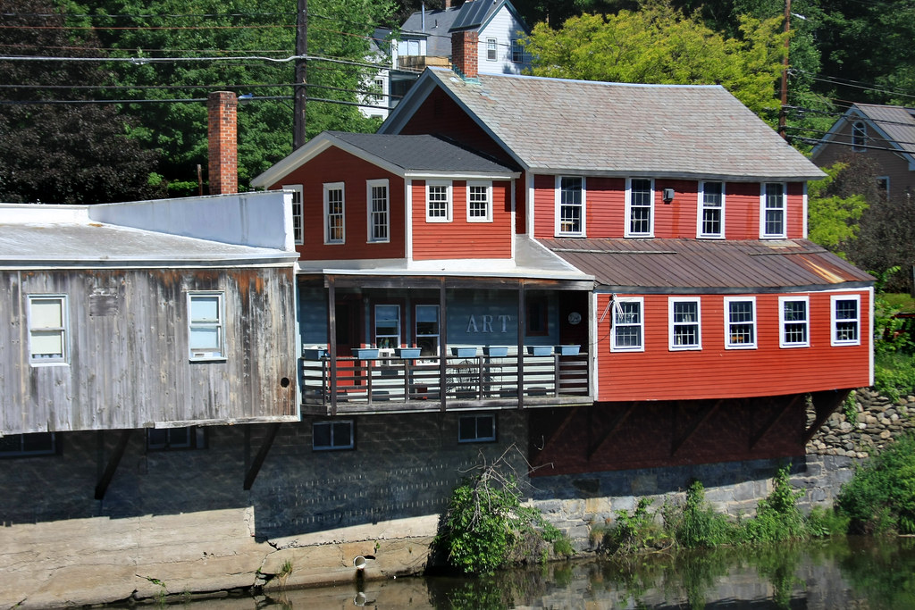
Shelburne Falls
_DSC9804.jpg

_DSC9808.jpg
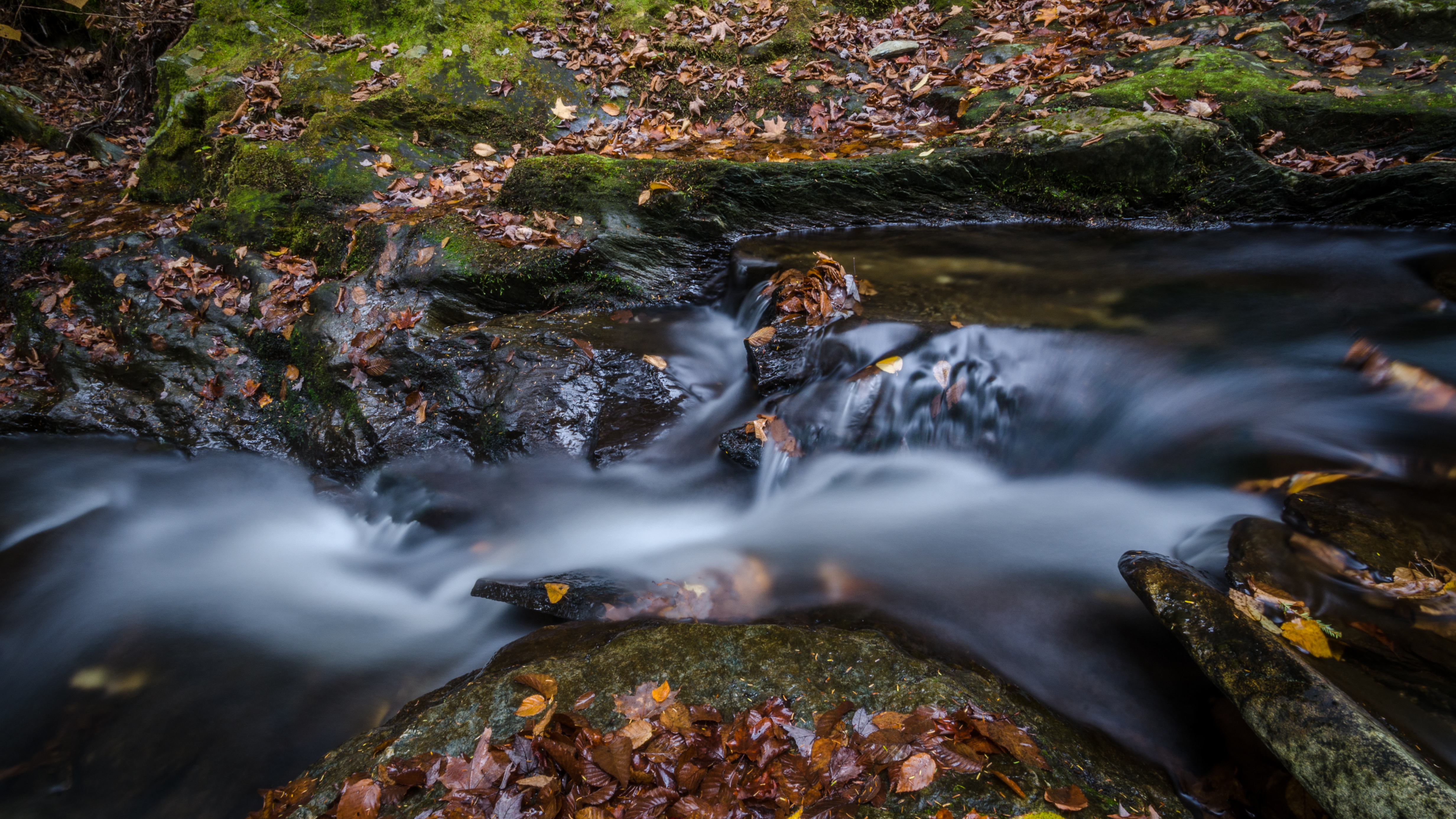
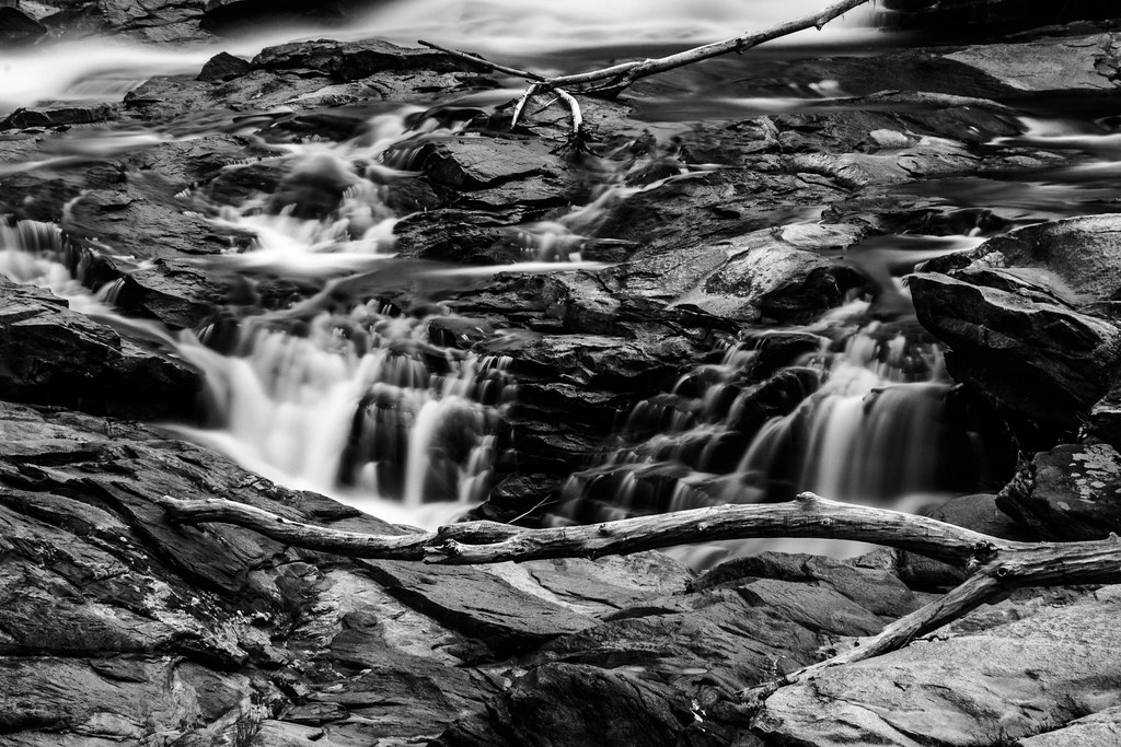
another stream long exposure
_DSC9813.jpg
2011 Out-takes #5/6
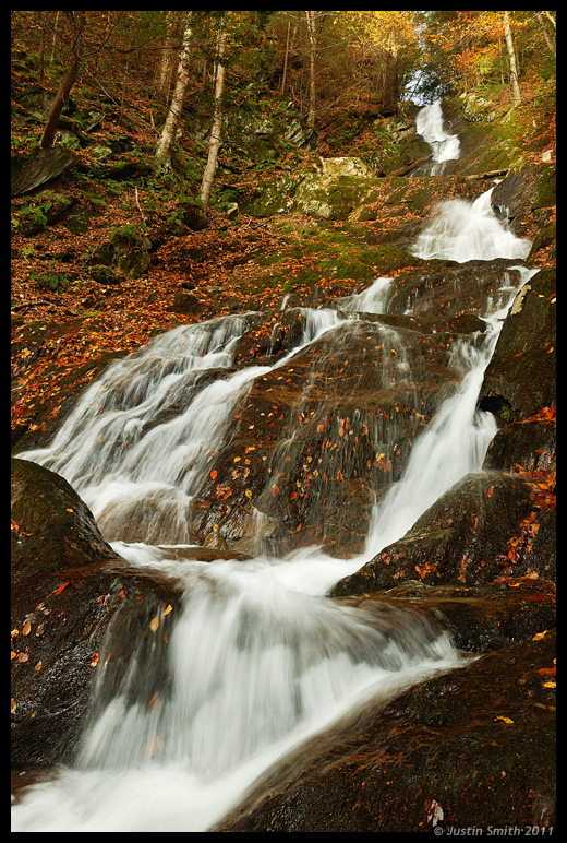
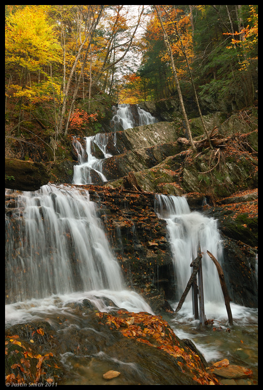
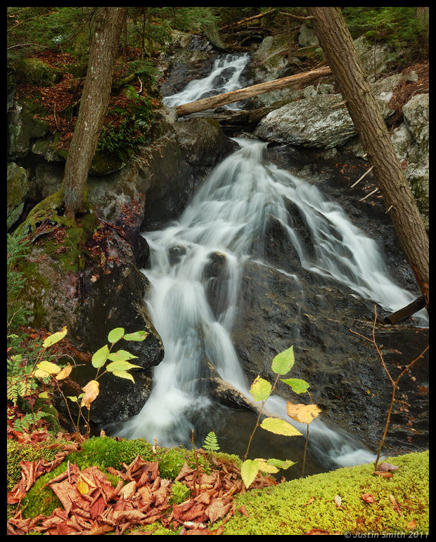
Parker Brook Falls
Topographic Map of 10 Royer Rd, Heath, MA, USA
Find elevation by address:

Places near 10 Royer Rd, Heath, MA, USA:
34 Royer Rd, Heath, MA, USA
Royer Road
Long Hill Road
Heath
Heath Free Public Library
10 Judd Rd
81 Ma-8a
181 S Rd
Flagg Hill Road
84 Hosmer Rd
84 Hosmer Rd
231 Ma-8a
231 Ma-8a
85 Number 9 Rd
30 Waterfall Dr
4 Shawnee Dr
19 Wigwam Dr
36 Shawnee Dr
Charlemont
101 Ma-8a
Recent Searches:
- Elevation of Elwyn Dr, Roanoke Rapids, NC, USA
- Elevation of Congressional Dr, Stevensville, MD, USA
- Elevation of Bellview Rd, McLean, VA, USA
- Elevation of Stage Island Rd, Chatham, MA, USA
- Elevation of Shibuya Scramble Crossing, 21 Udagawacho, Shibuya City, Tokyo -, Japan
- Elevation of Jadagoniai, Kaunas District Municipality, Lithuania
- Elevation of Pagonija rock, Kranto 7-oji g. 8"N, Kaunas, Lithuania
- Elevation of Co Rd 87, Jamestown, CO, USA
- Elevation of Tenjo, Cundinamarca, Colombia
- Elevation of Côte-des-Neiges, Montreal, QC H4A 3J6, Canada