Elevation of 30 Waterfall Dr, Colrain, MA, USA
Location: United States > Massachusetts > Franklin County > Heath >
Longitude: -72.790554
Latitude: 42.6752394
Elevation: 474m / 1555feet
Barometric Pressure: 96KPa
Elevation Map:
Satellite Map:
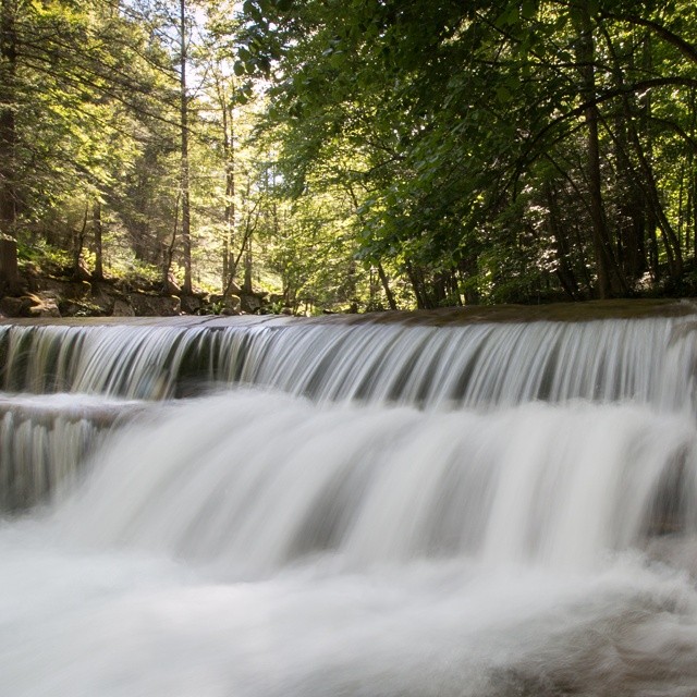
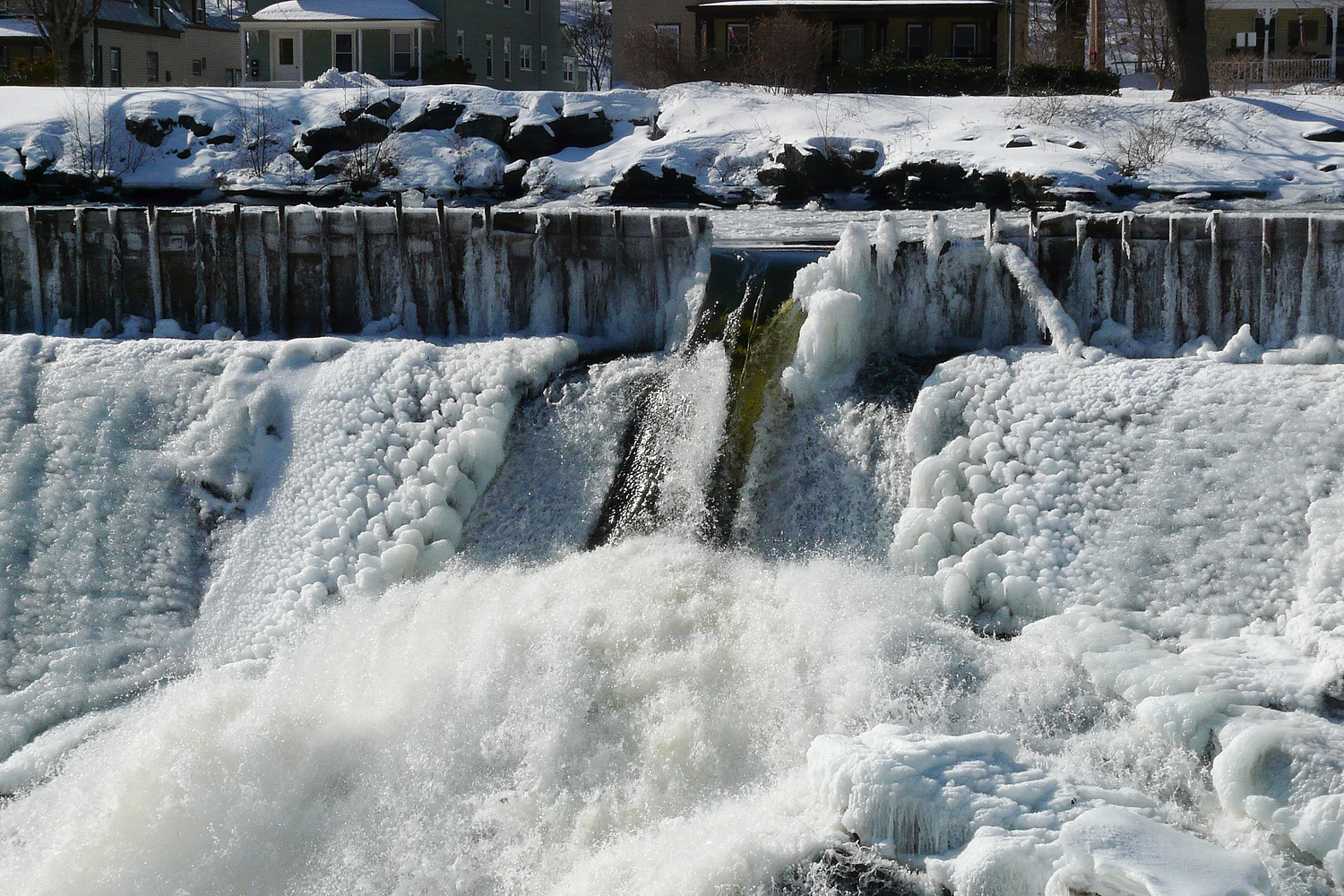
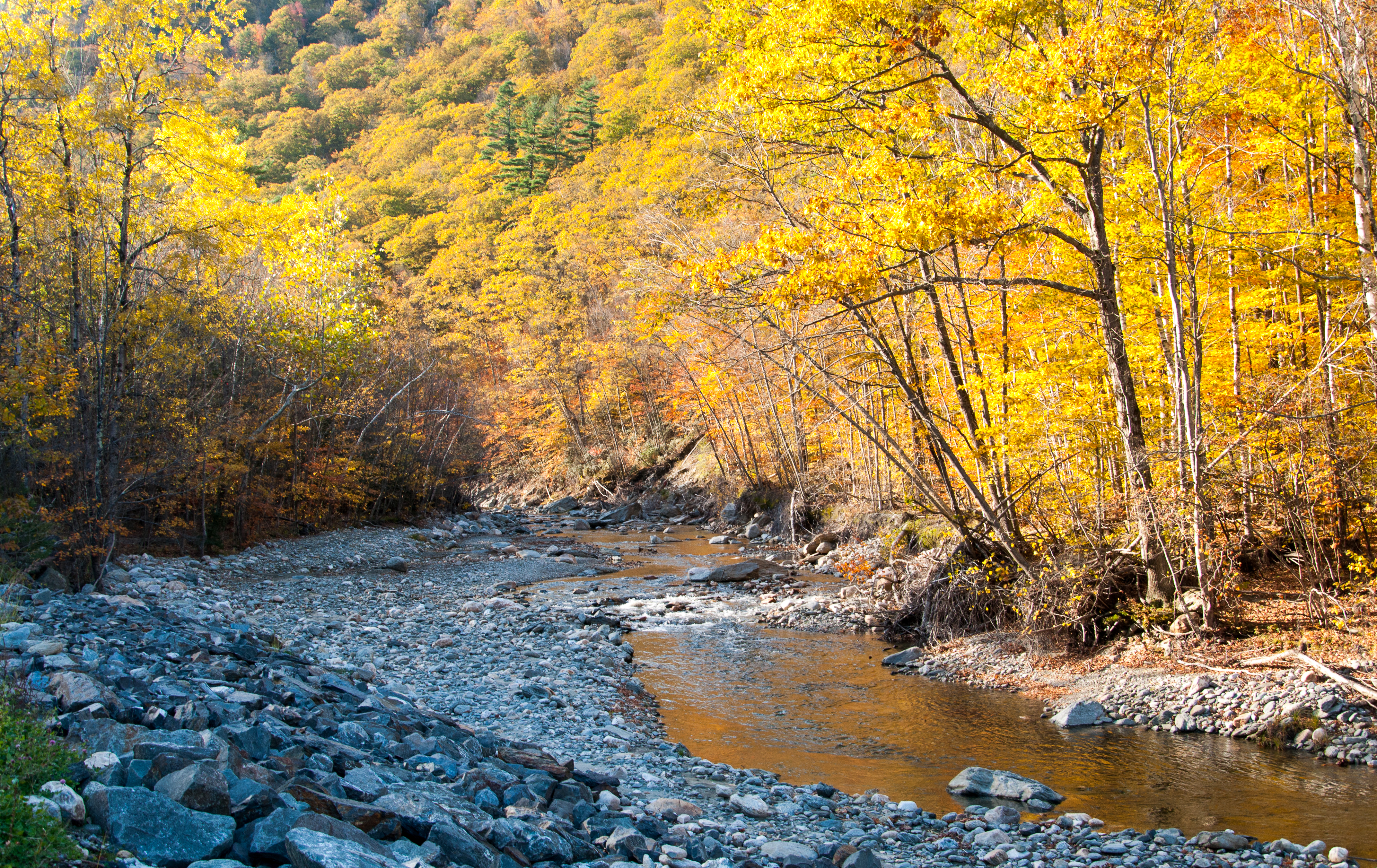
Related Photos:

summer weekend

White Dahlia

Not a bad view to wake up to! #roadtripping #camping #scenicMassachusetts
the end...

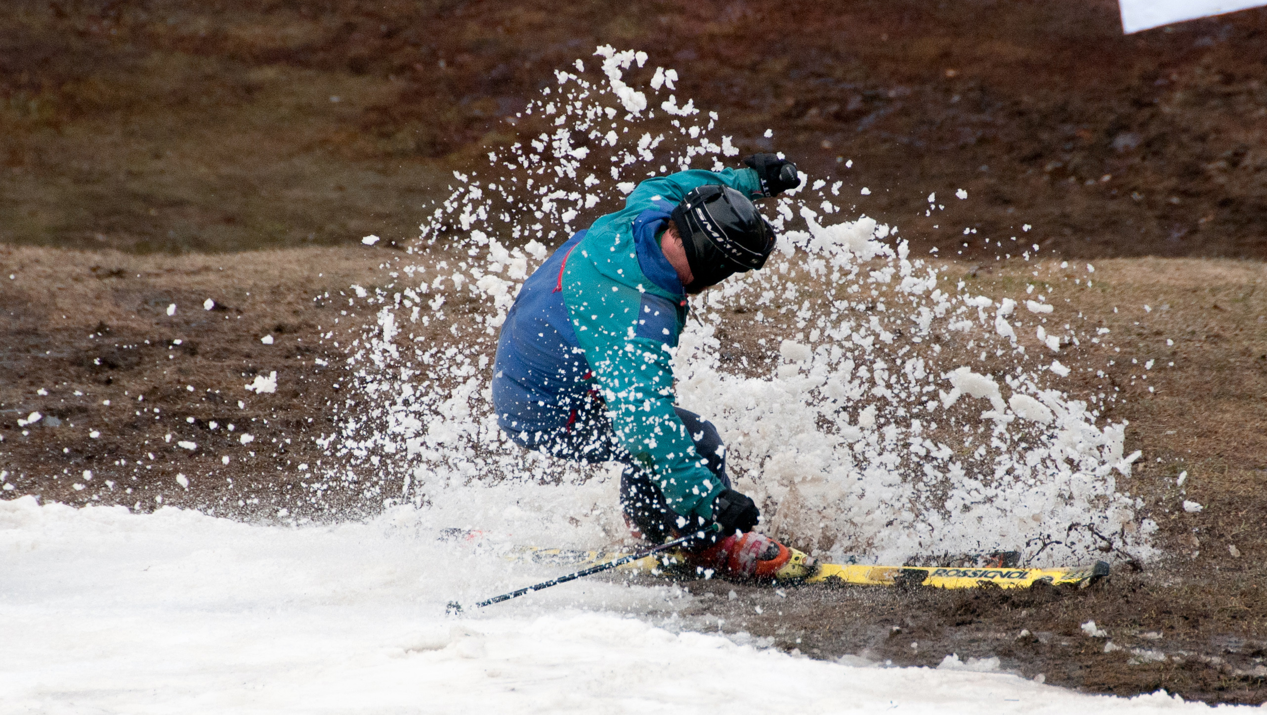
snowy start

Berkshire Highlands Pentathlon 2012
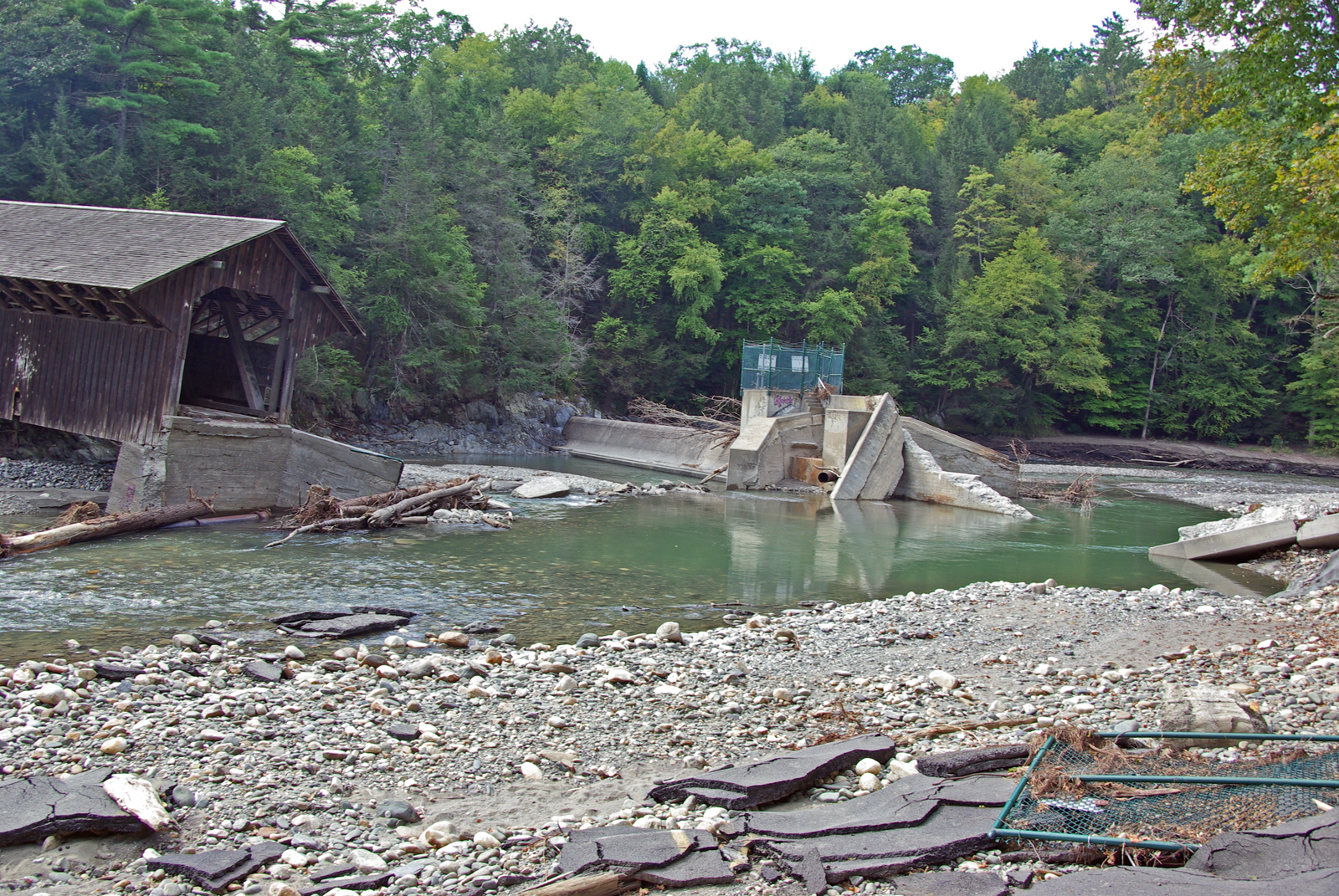
View from East Side to Hurricane Damaged Eunice Williams Covered Bridge
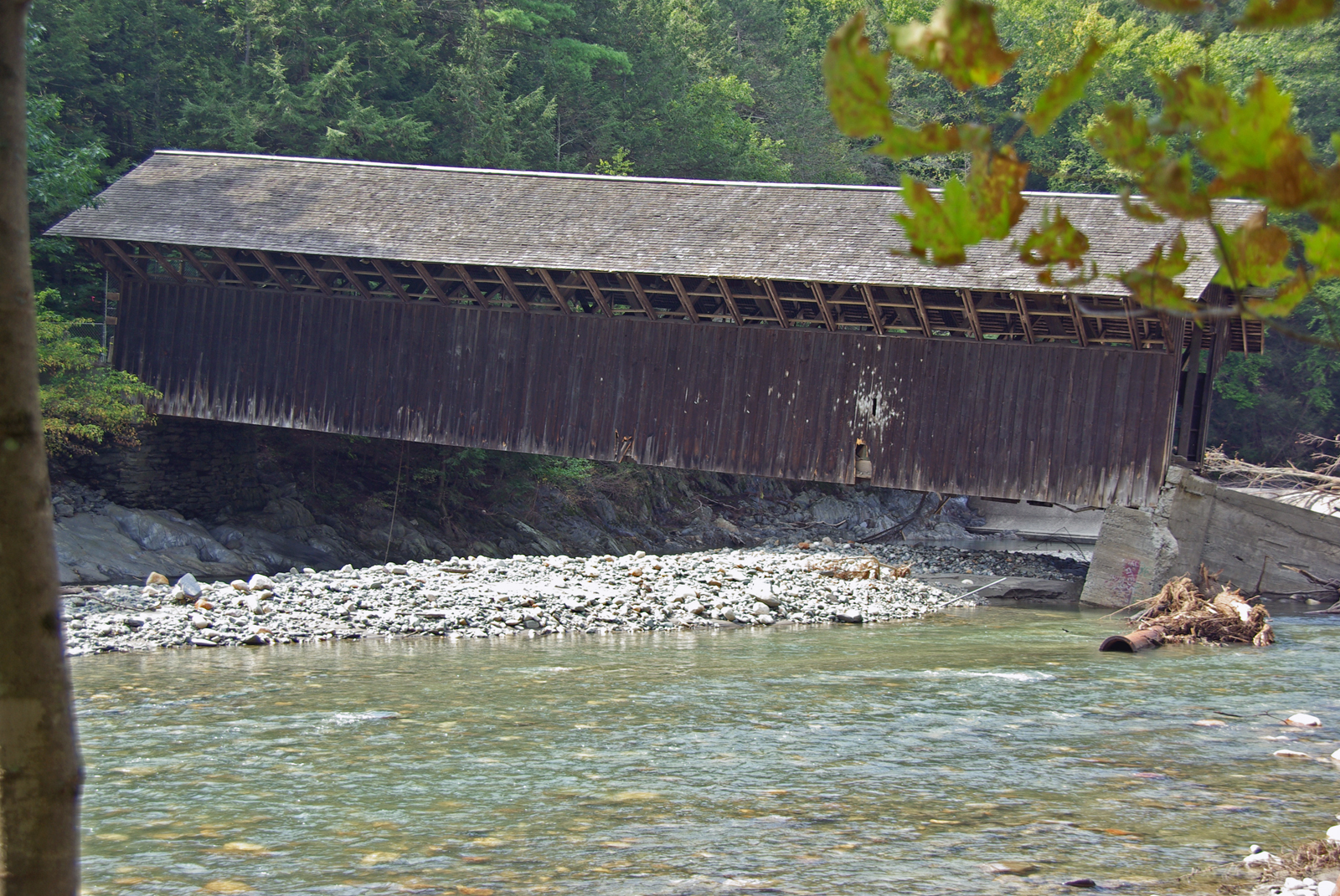
View from East Side to Hurricane Damaged Eunice Williams Covered Bridge
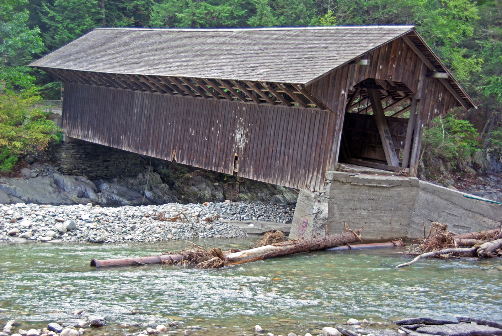
View from East Side to Hurricane Damaged Eunice Williams Covered Bridge
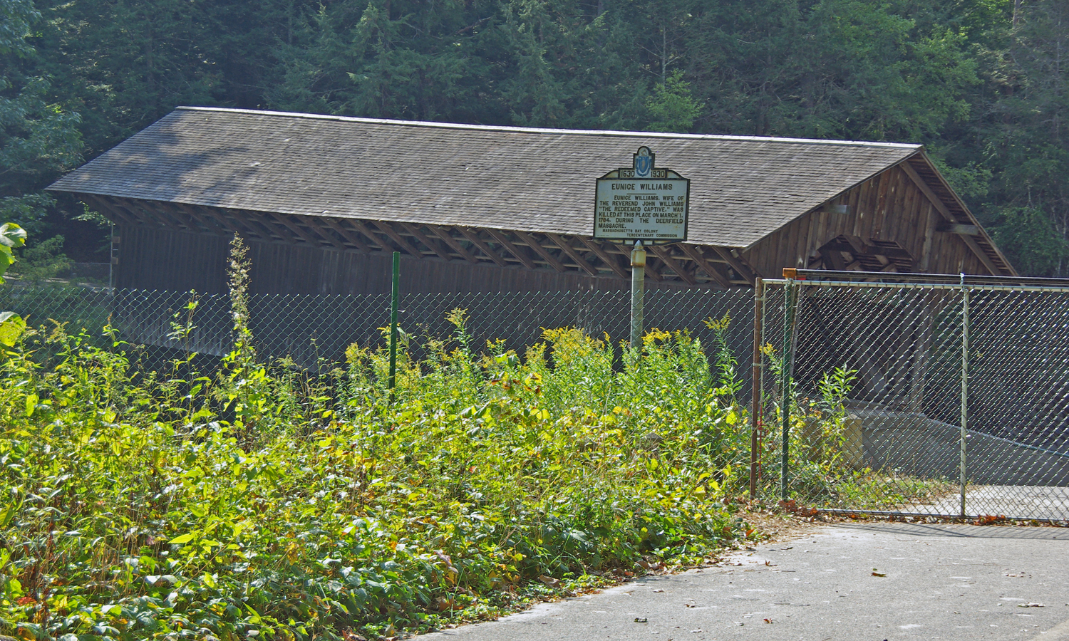
View from East Side to Hurricane Damaged Eunice Williams Covered Bridge

Berkshire Highlands Pentathlon 1
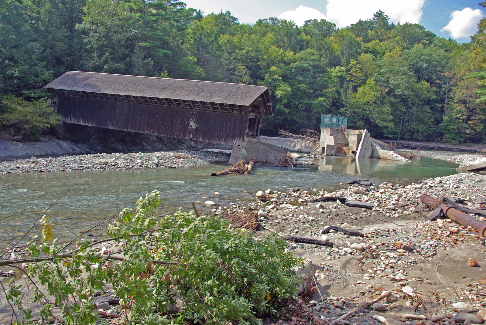
View from East Side to Hurricane Damaged Eunice Williams Covered Bridge
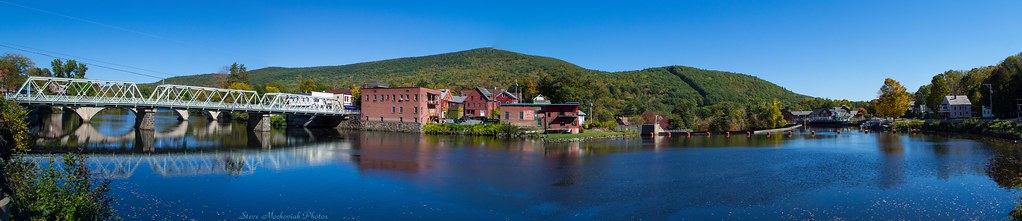
Shelburne Falls 0411-0417 Panorama

Sunshine in the Rain
A Place to Sit
Bridge of Flowers

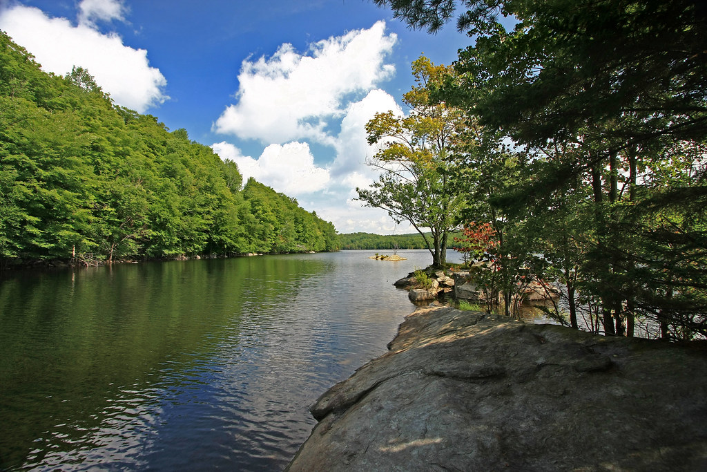
View of Zoar Gap - Quite A Hike

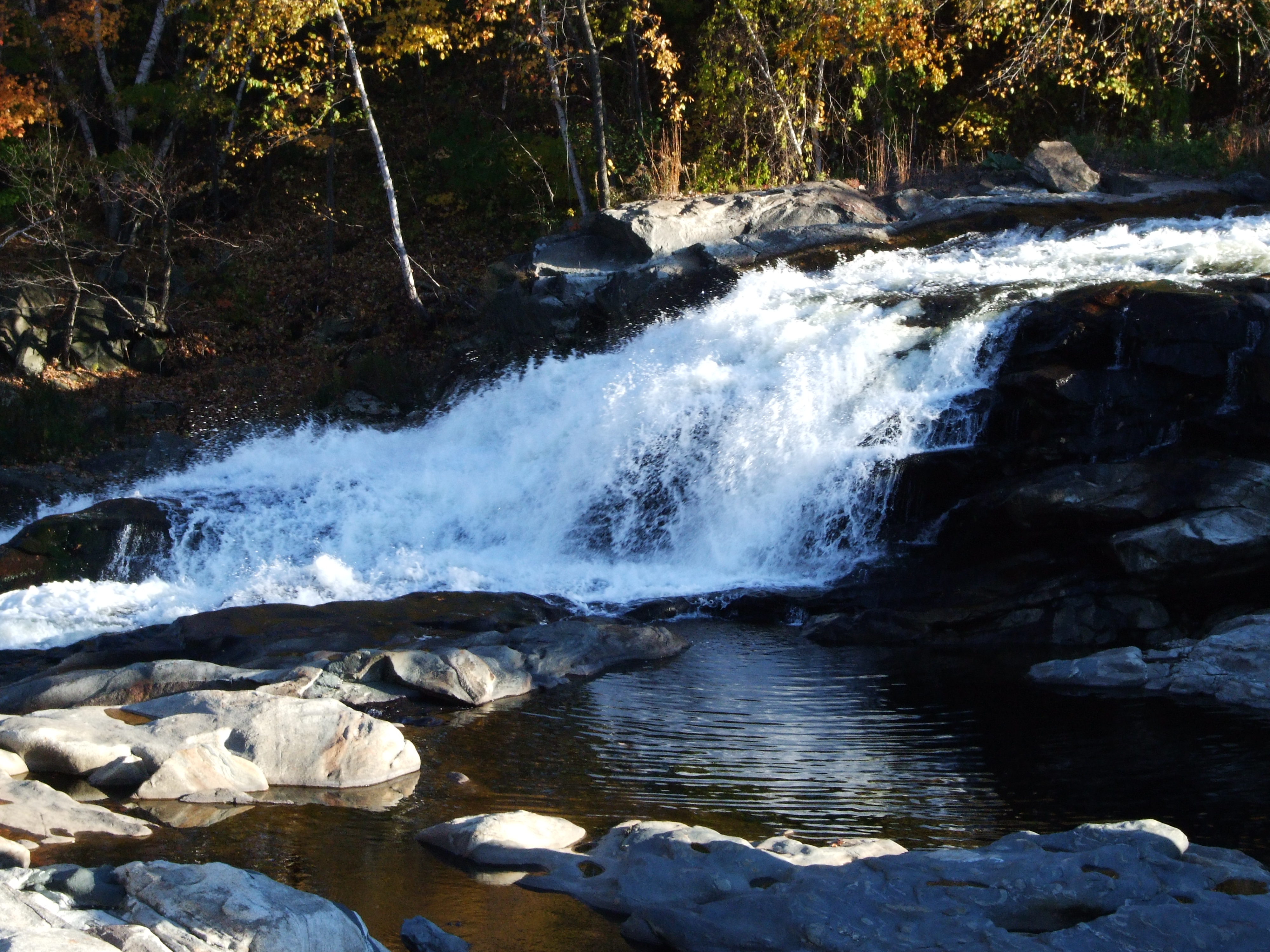
Old Man of the Falls
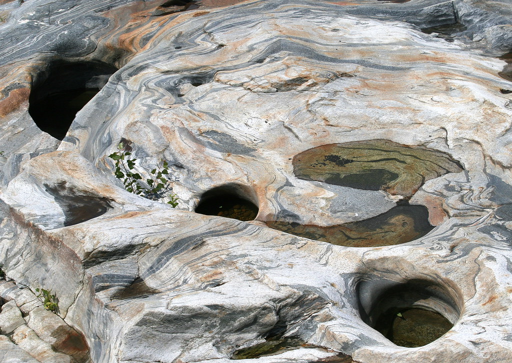
Glacial Potholes
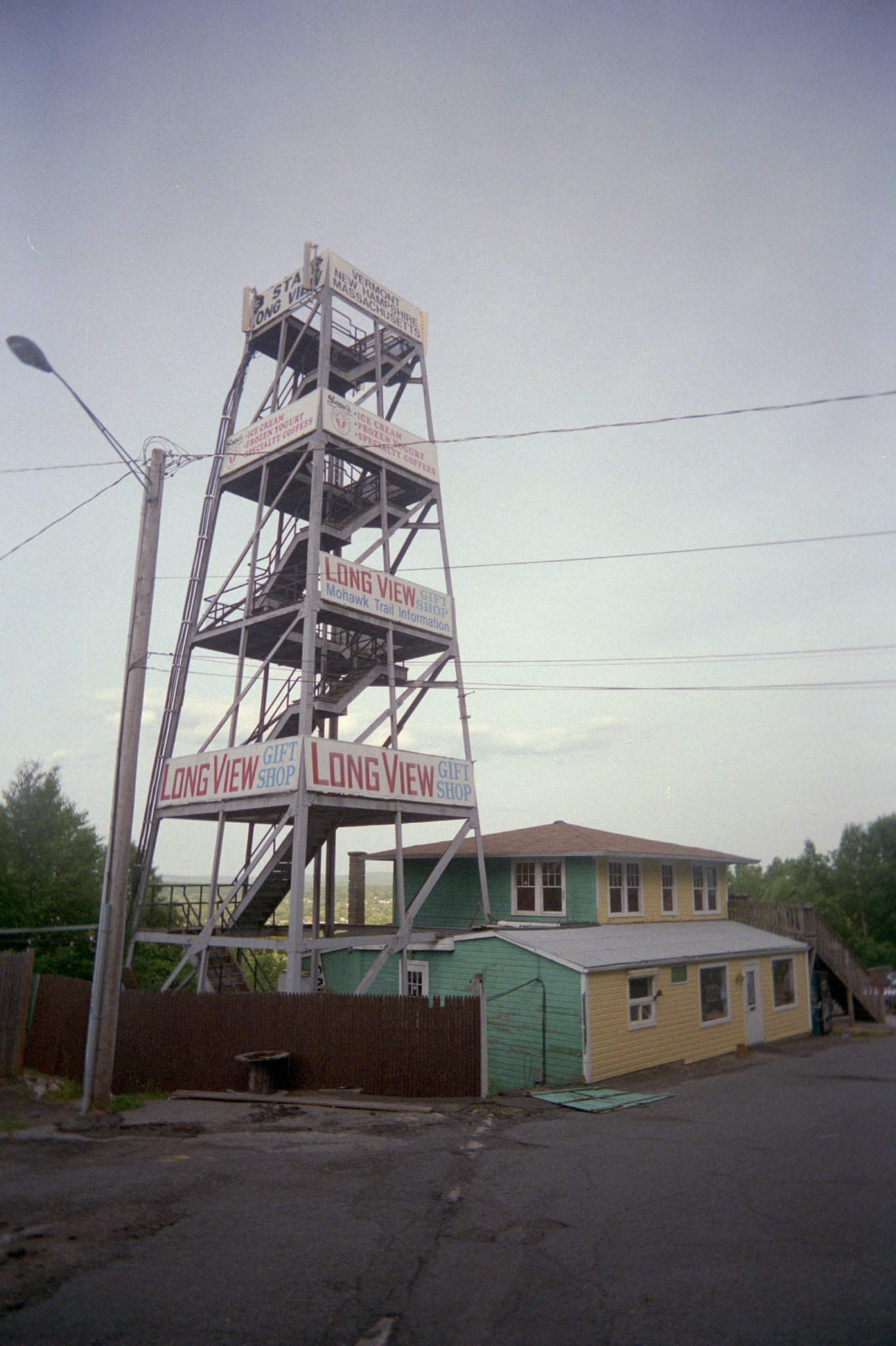
Long View Tower
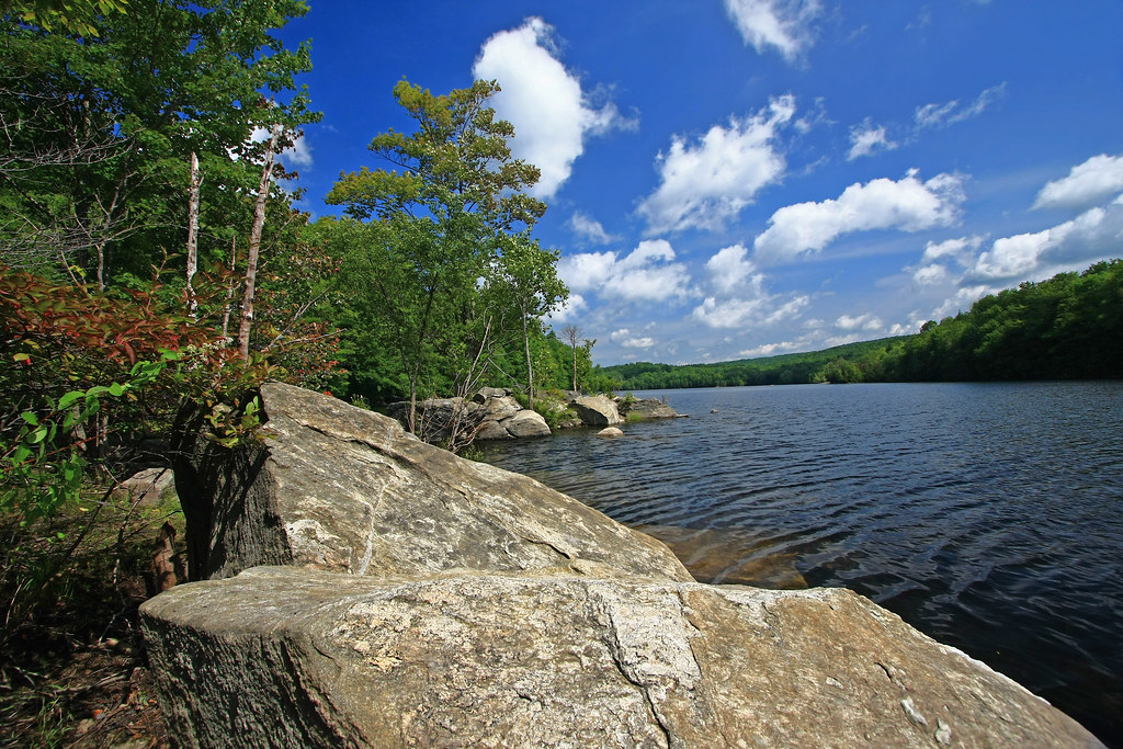
In Search of a Cool Breeze
northern berkshire winterscape
"Big Indian Shop" on the Mohawk Trail
Buckland on Deerfield

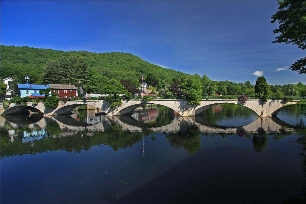
Shelburne Falls
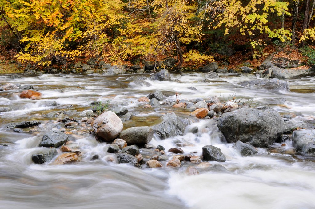
October on The Deerfield
Constant II. 1/4 second @f/22 #waterfall #waterflow #vermontshots #70d #10to18mm review is now available. @jicebee you are right, better with rock cropped.

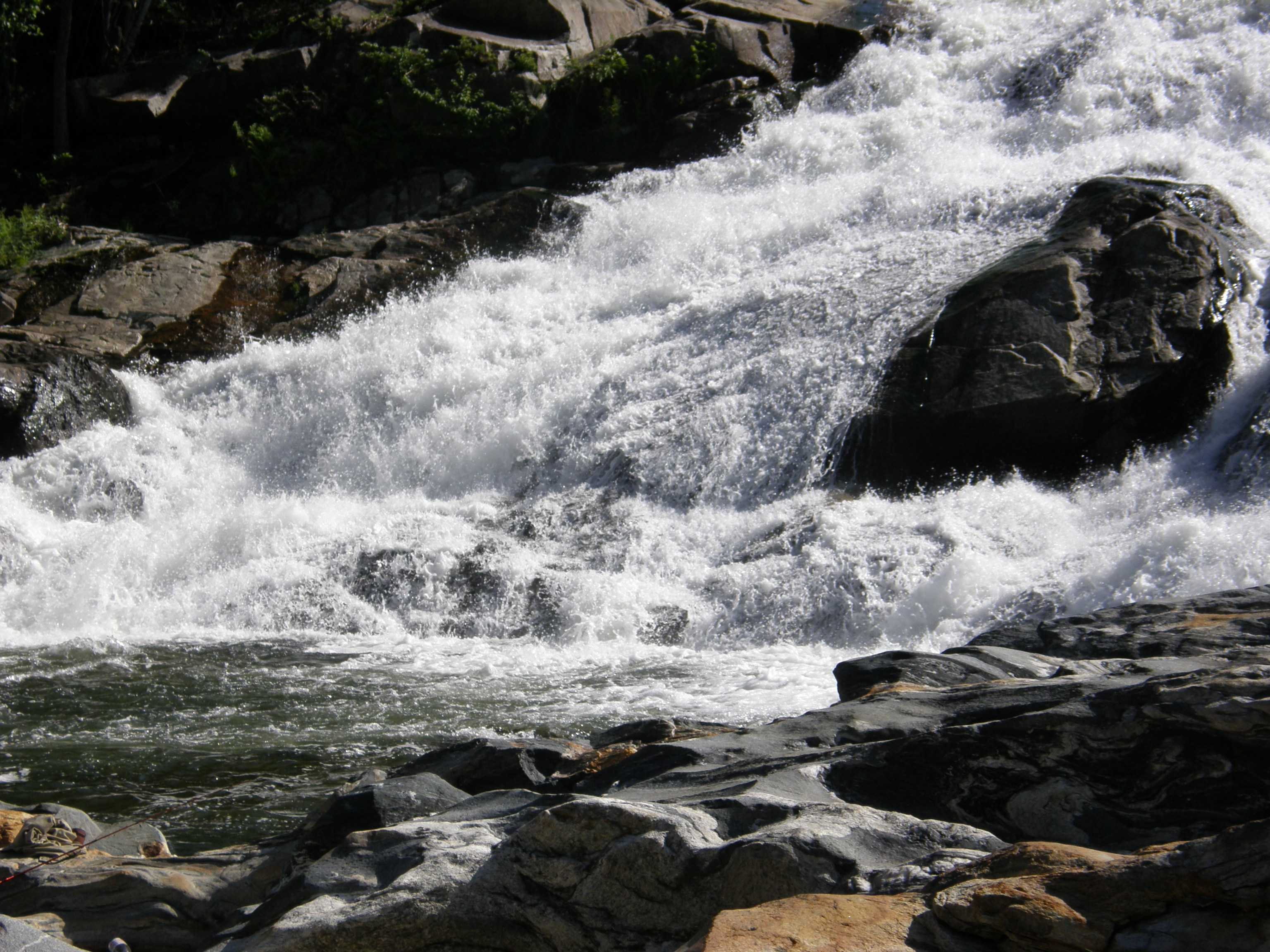
Salmon Falls at Shelburne Falls Ma
FZ18-2009-03-05-017-pse3
_DSC9804.jpg

Bridge of Flowers Shelburne Falls Ma
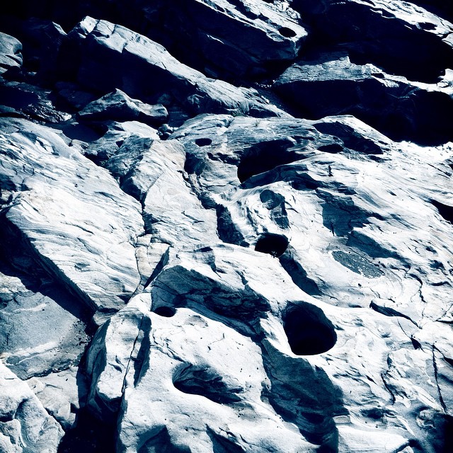
Holes in a hole #nature #Geology #touristy
Day 8 Mowhawk Trail

Panoramic from Mt. Tom
_DSC9813.jpg

Half on One Side

_DSC9821.jpg
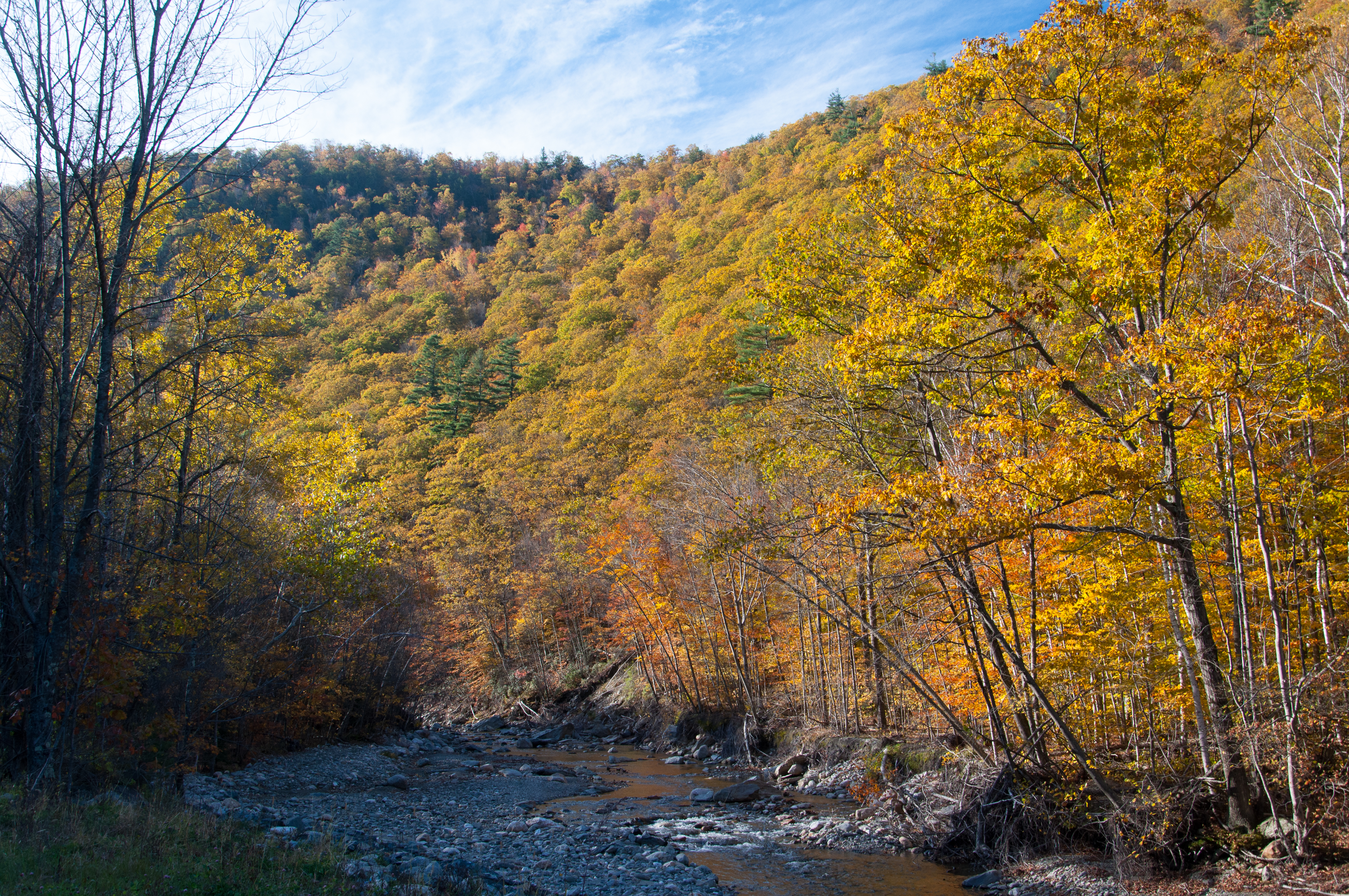
A Fall Day in Massachusetts

Rocks at Halifax

Glacier Potholes
p100-5280697
Topographic Map of 30 Waterfall Dr, Colrain, MA, USA
Find elevation by address:

Places near 30 Waterfall Dr, Colrain, MA, USA:
19 Wigwam Dr
4 Shawnee Dr
36 Shawnee Dr
84 Hosmer Rd
84 Hosmer Rd
Flagg Hill Road
Heath Free Public Library
Heath
20 Stetson Brothers Rd
10 Royer Rd
Royer Road
34 Royer Rd, Heath, MA, USA
Long Hill Road
181 S Rd
Mohawk Trail
81 Ma-8a
MA-2, Shelburne Falls, MA, USA
10 Judd Rd
85 Number 9 Rd
10 Charlemont Rd
Recent Searches:
- Elevation of 62 Abbey St, Marshfield, MA, USA
- Elevation of Fernwood, Bradenton, FL, USA
- Elevation of Felindre, Swansea SA5 7LU, UK
- Elevation of Leyte Industrial Development Estate, Isabel, Leyte, Philippines
- Elevation of W Granada St, Tampa, FL, USA
- Elevation of Pykes Down, Ivybridge PL21 0BY, UK
- Elevation of Jalan Senandin, Lutong, Miri, Sarawak, Malaysia
- Elevation of Bilohirs'k
- Elevation of 30 Oak Lawn Dr, Barkhamsted, CT, USA
- Elevation of Luther Road, Luther Rd, Auburn, CA, USA