Elevation of Franklin County, MA, USA
Location: United States > Massachusetts >
Longitude: -72.615116
Latitude: 42.530599
Elevation: 39m / 128feet
Barometric Pressure: 101KPa
Elevation Map:
Satellite Map:
Related Photos:
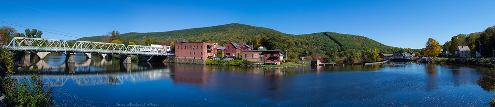
Shelburne Falls 0411-0417 Panorama
Leica X1 Sunderland

Autumn Foliage

White Dahlia
Bridge of Flowers

Feb-19-2011_Magic-Wings_513
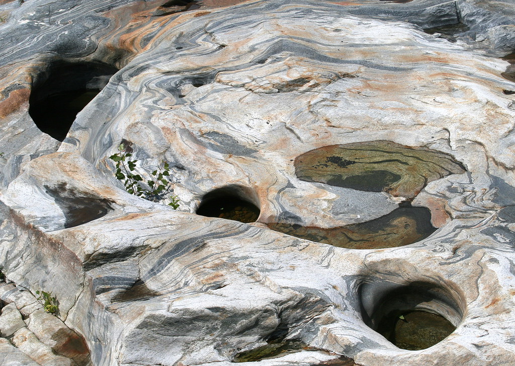
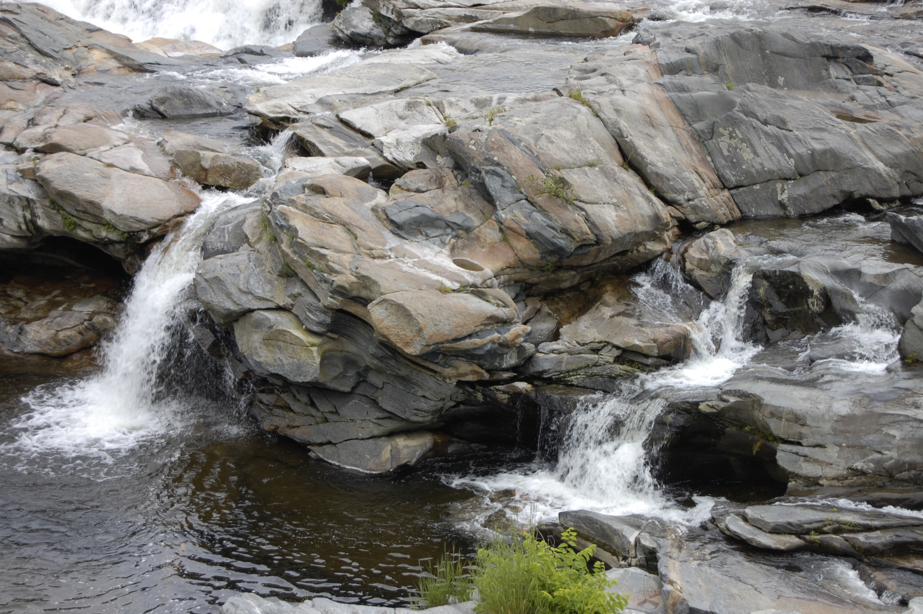
Glacial Potholes
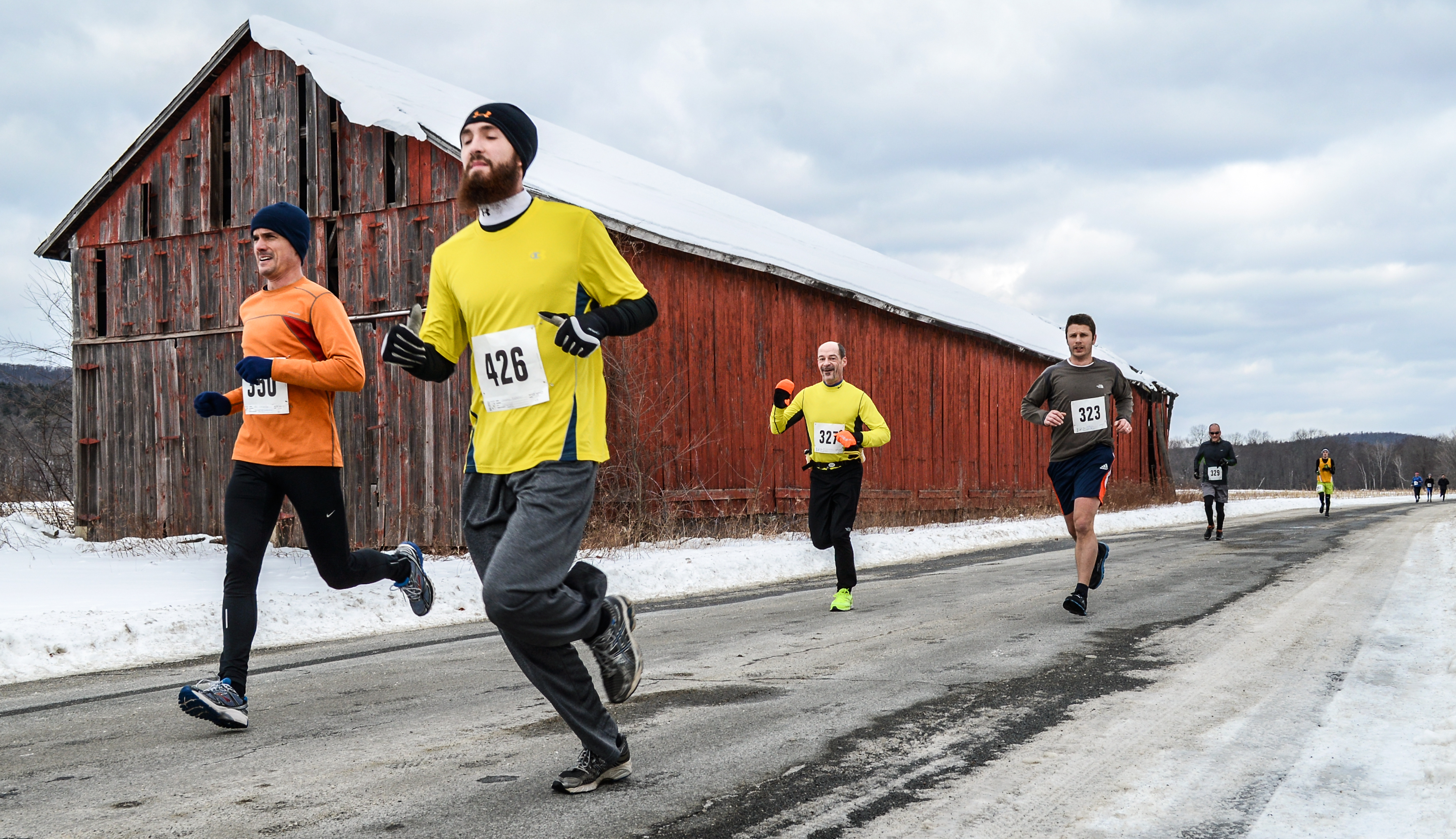
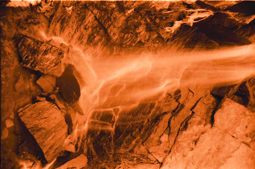
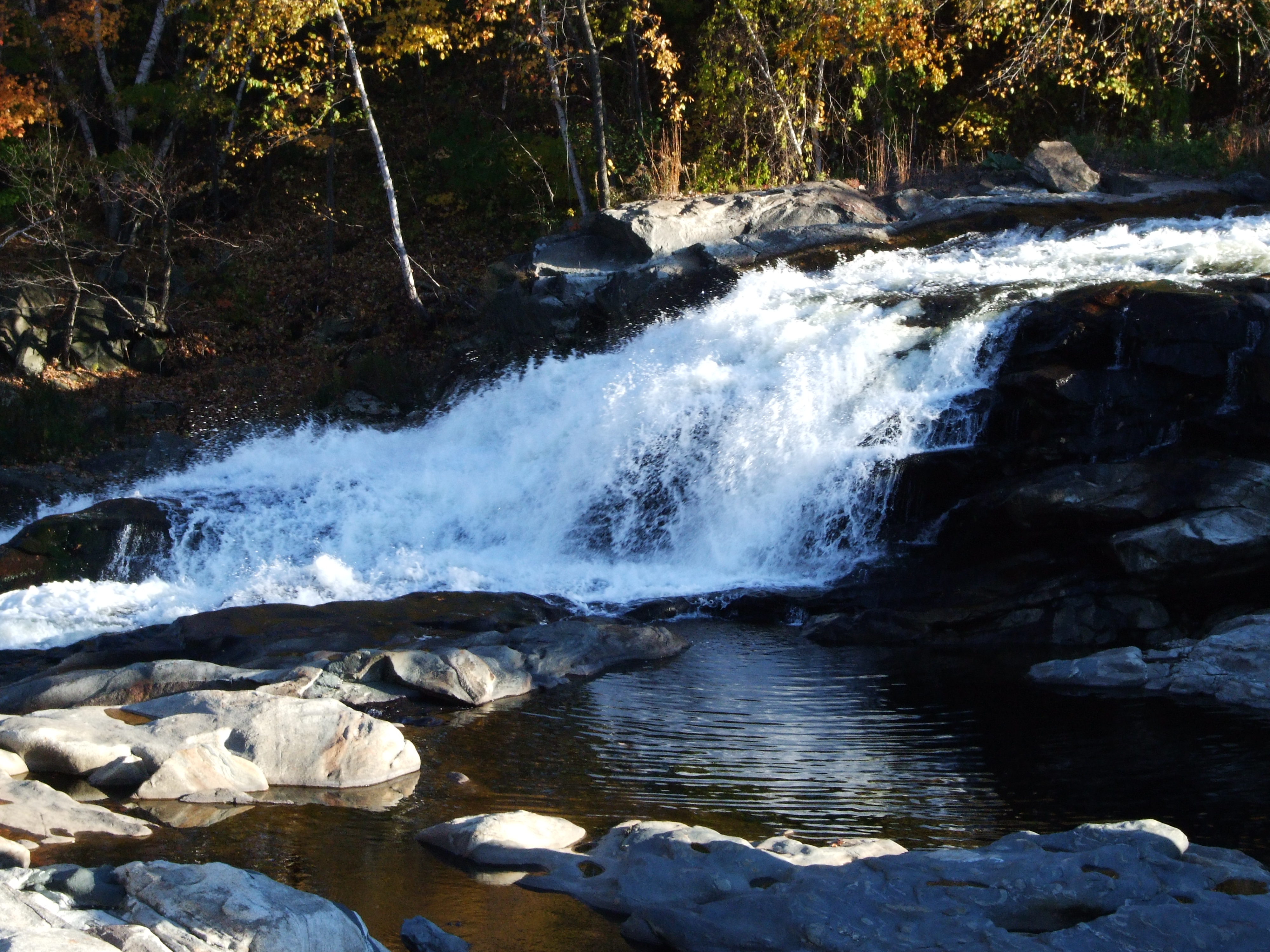
Sawmill River Run

Summer Storm

summer weekend

One of my favorite views. #home #nature #peace #quiet
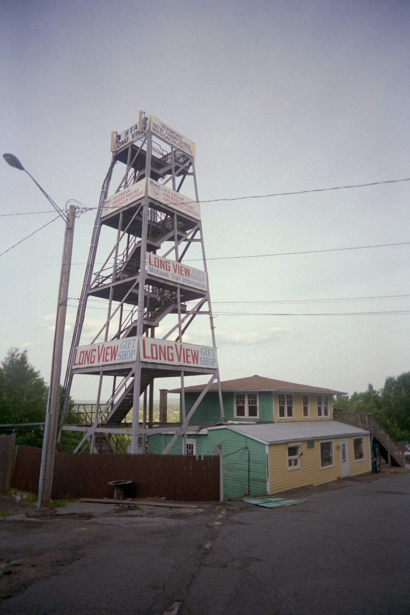
Long View Tower
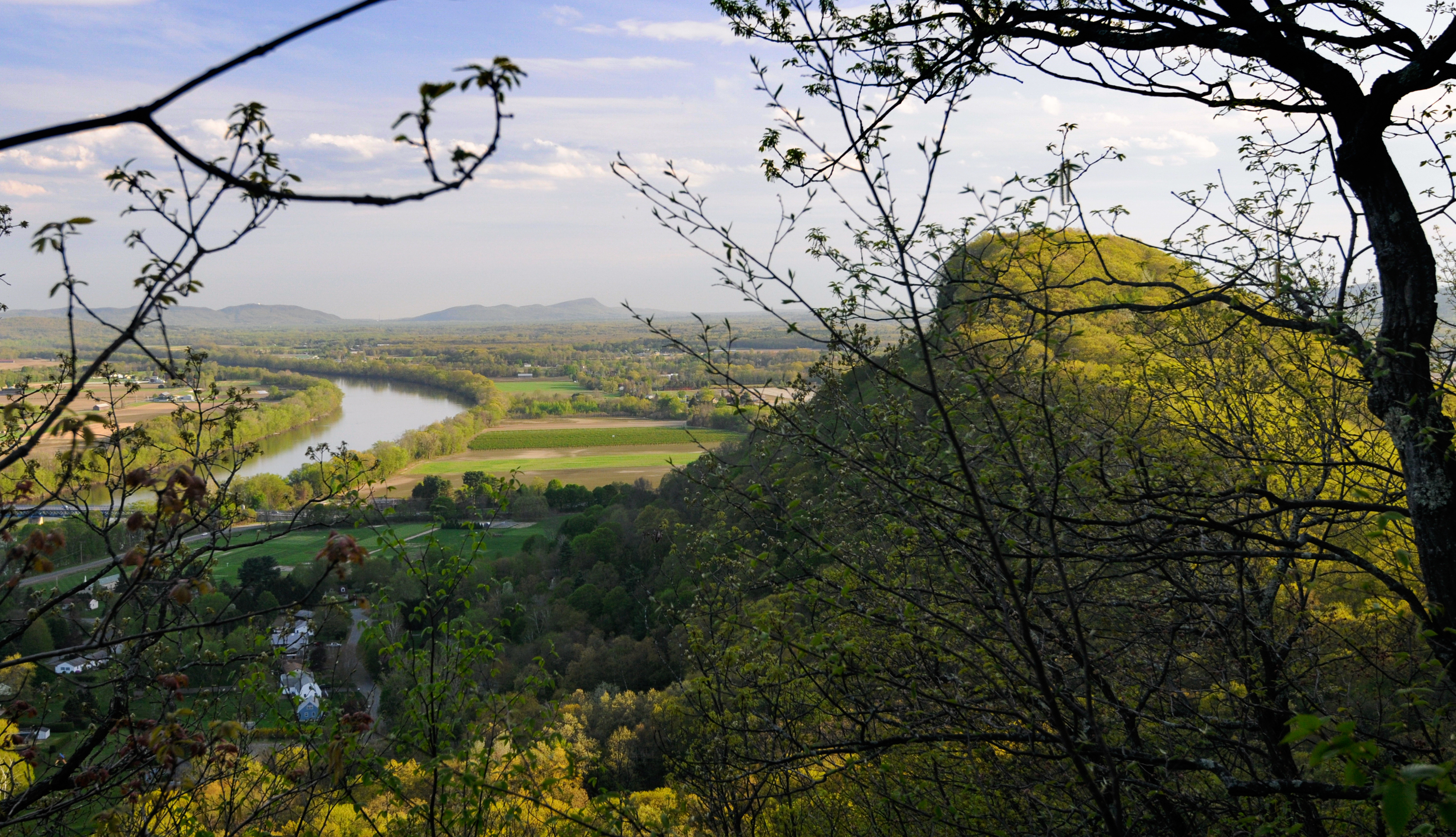
Sugarloaf View

Mt. Sugarloaf: Star Trails

Old Man of the Falls

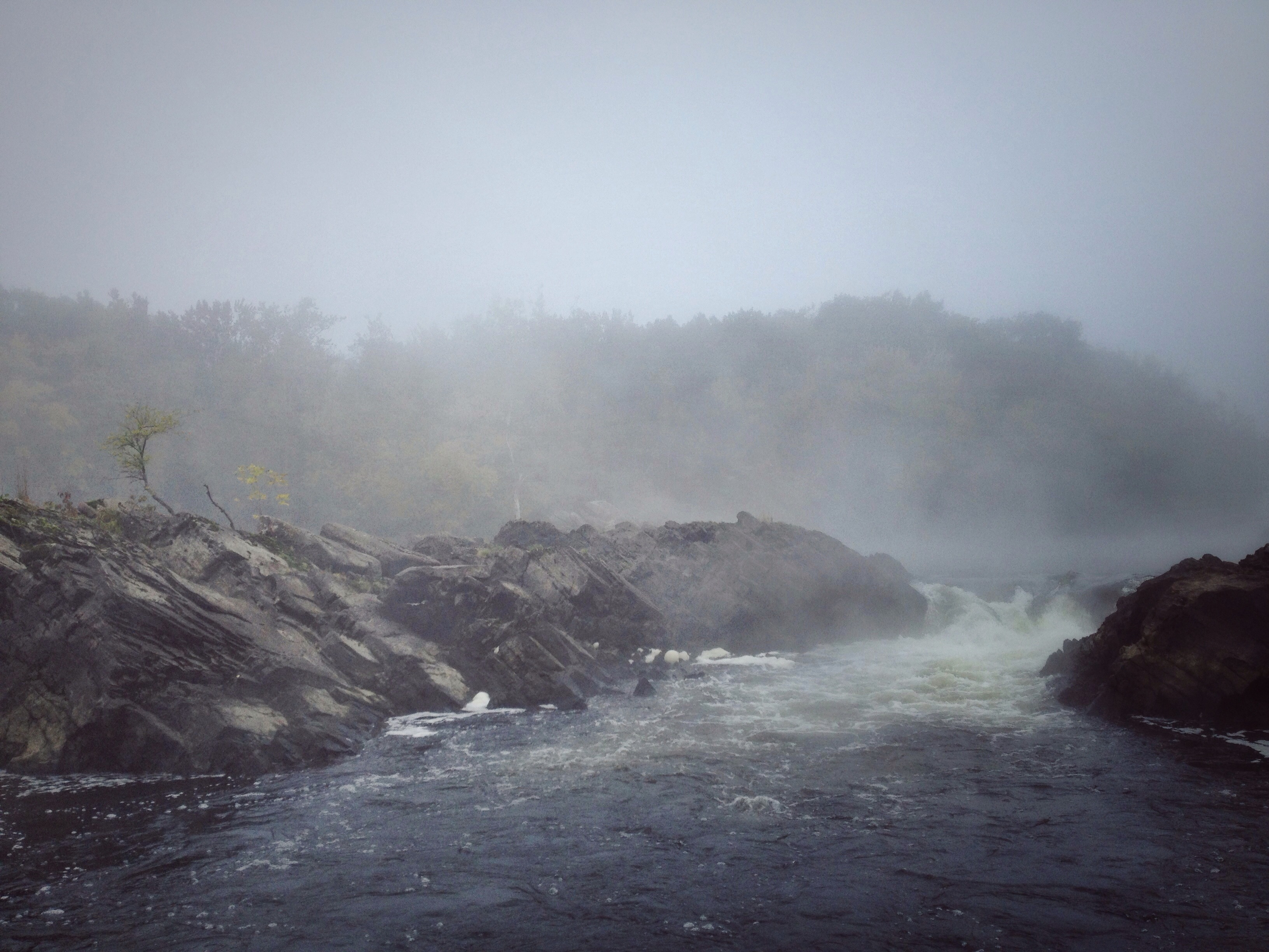
Sunshine in the Rain

Butterfly Bokeh
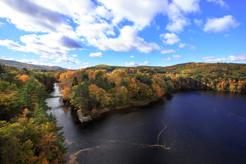
Autumn Foliage Scenery viewed from French King Bridge

Panoramic Autumn Foliage Scenery viewed from French King Bridge
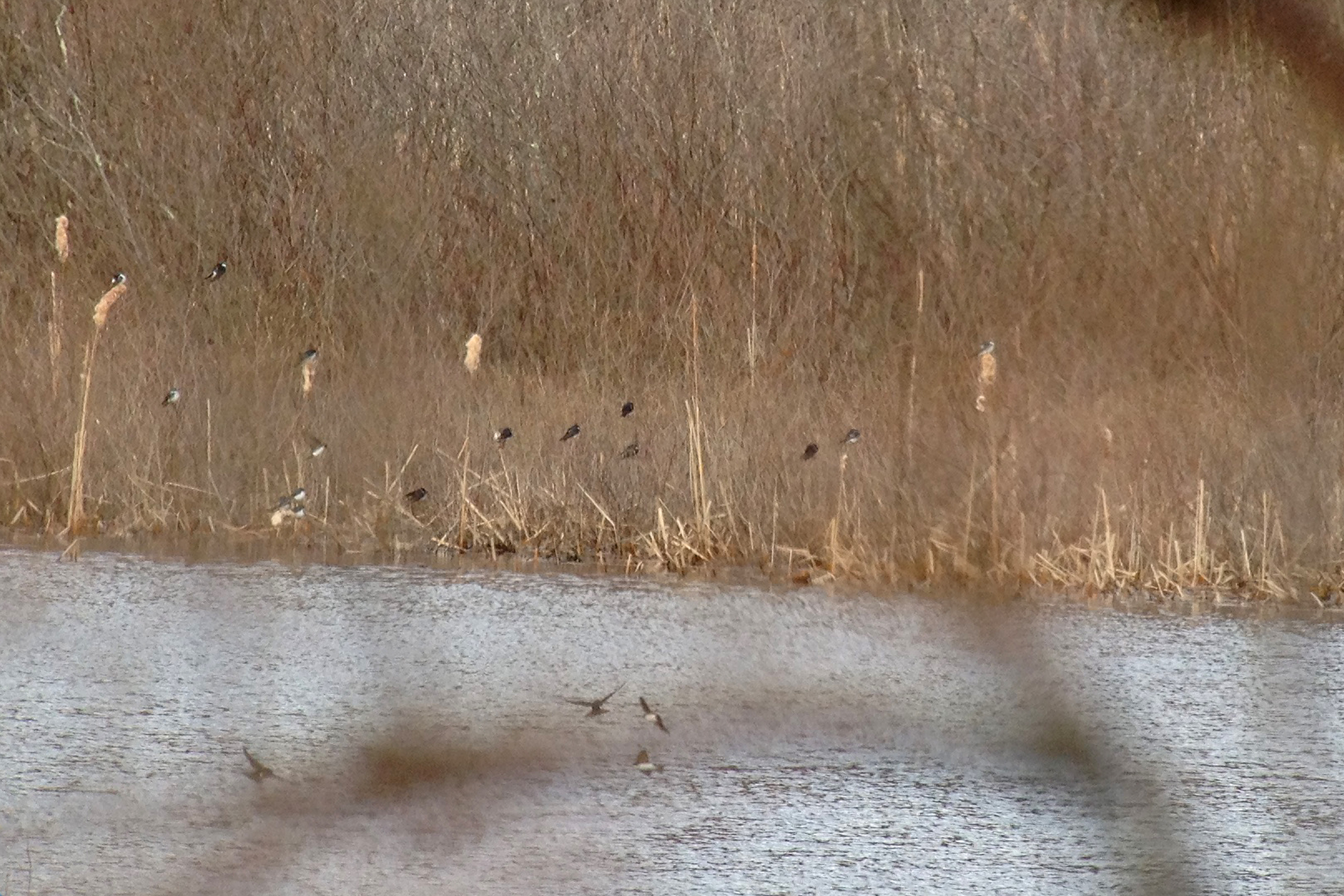
Tree Swallows
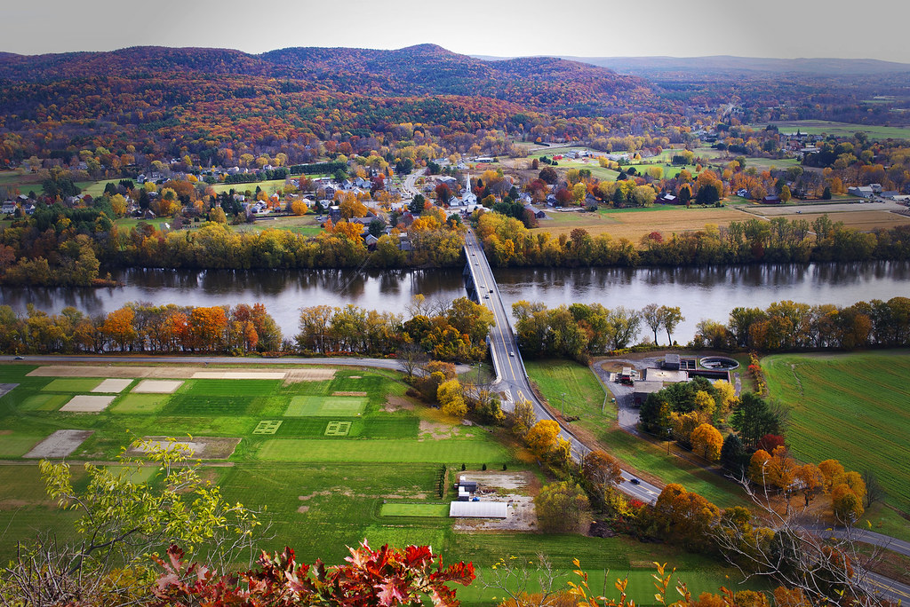
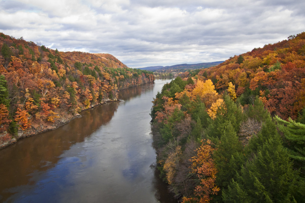
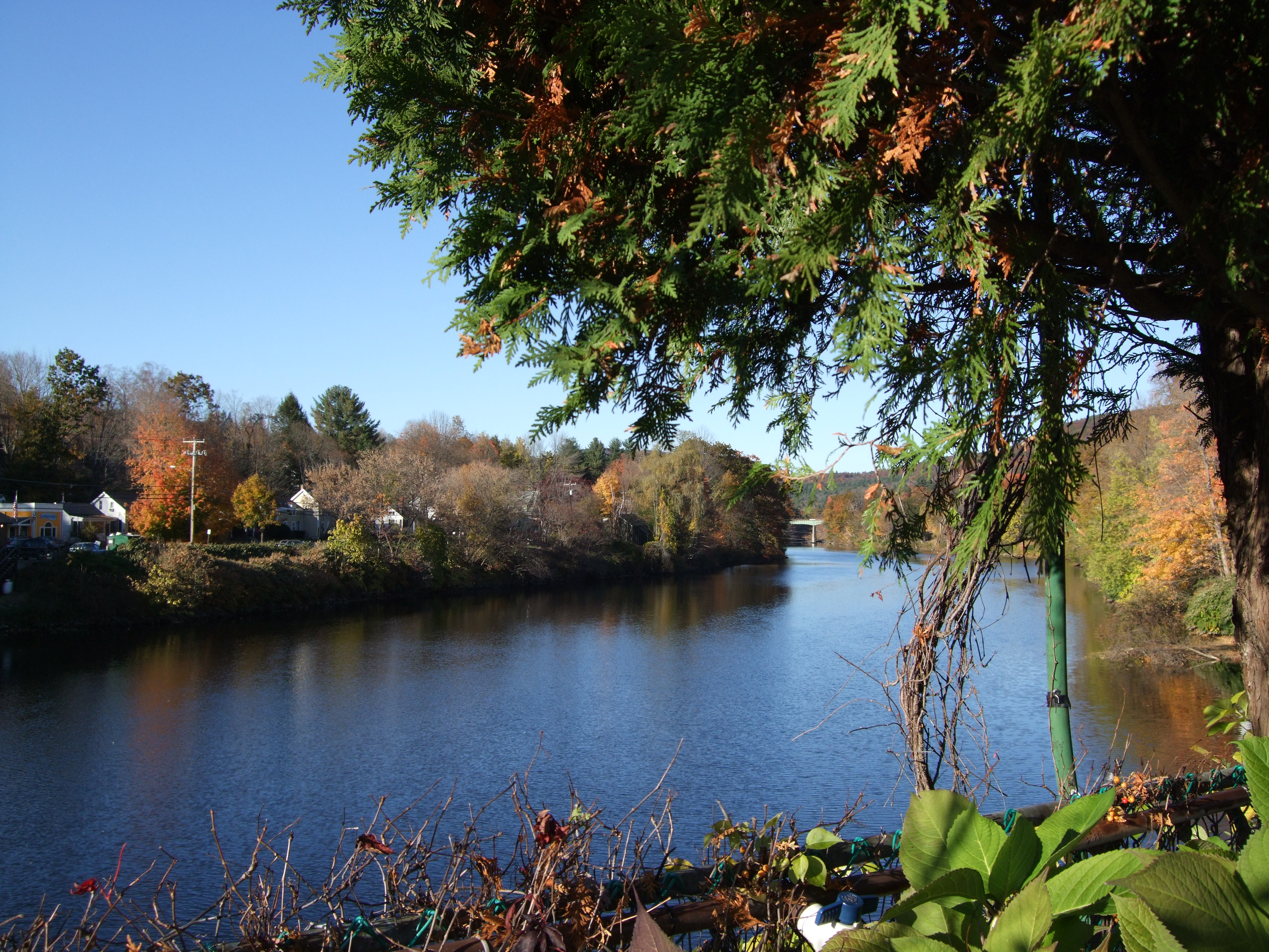
Autumn View from Fench King Bridge, MA

Shelburne Falls

Adieu... 2013 Autumn

French King Bridge II

Salmon Falls at Shelburne Falls Ma

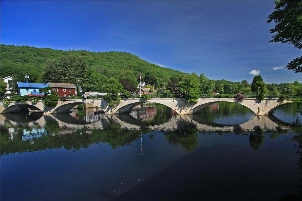
Bridge of Flowers Shelburne Falls Ma

Panoramic from Mt. Tom

Western MA - 2015-11-14 at 17-50-17-Pano.jpg
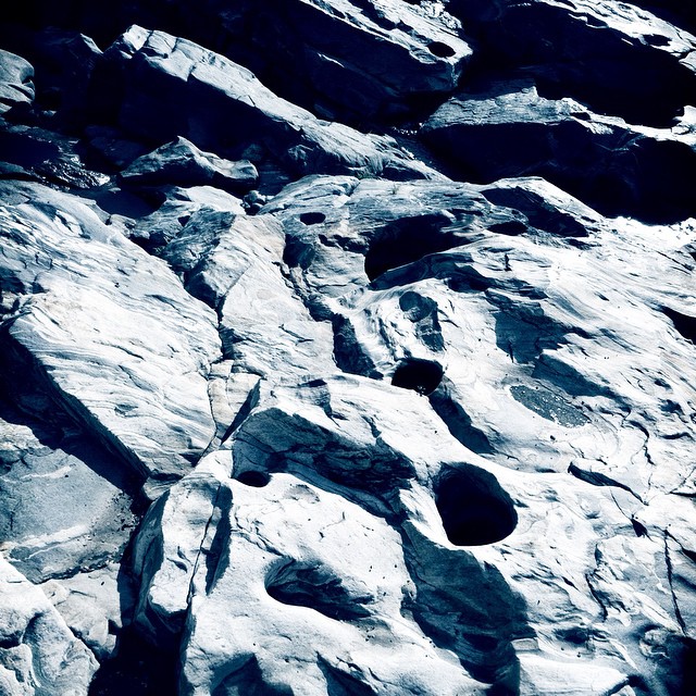
Holes in a hole #nature #Geology #touristy

_DSC9821.jpg
Waterfall Shelburne 1

watching the sunset, listening to killer mike, practicing my embroidery, and just living that #nofiltervacationlife #home #thankful
A Fall Day in Massachusetts
_DSC9914.JPG

Western MA - 2015-11-14 at 17-49-09.jpg

South Green River Rd - Leydon, MA
A Fall Day in Massachusetts
Rock Dam

French King Bridge I

Railroad Bridge

I love this place ❤#Northfield #MA #love
Topographic Map of Franklin County, MA, USA
Find elevation by address:

Places in Franklin County, MA, USA:
Orange
Greenfield
Colrain
Leverett
Shelburne Falls
Conway
Ashfield
Shutesbury
New Salem
Heath
Hawley
Deerfield
Buckland
Northfield
Wendell
Bernardston
Leyden
Montague
Gill
Charlemont
Monroe
Warwick
Millers Falls
Rowe
Whately
Places near Franklin County, MA, USA:
110 Sandgully Rd N
92 Sandgully Rd N
14 Hoosac Rd
56 Lee Rd
Conway Rd, South Deerfield, MA, USA
555 River Rd
Frontier Regional School
6 Sunrise Ave
South Deerfield
26 Whitmore Ferry Rd
Mount Sugarloaf State Reservation
467 Roaring Brook Rd
Beaver Drive
539 Graves Rd
199 Old Sunderland Rd
146 Old Sunderland Rd
1600 Roaring Brook Rd
Zee
130 Reeds Bridge Rd
Montague
Recent Searches:
- Elevation of Corso Fratelli Cairoli, 35, Macerata MC, Italy
- Elevation of Tallevast Rd, Sarasota, FL, USA
- Elevation of 4th St E, Sonoma, CA, USA
- Elevation of Black Hollow Rd, Pennsdale, PA, USA
- Elevation of Oakland Ave, Williamsport, PA, USA
- Elevation of Pedrógão Grande, Portugal
- Elevation of Klee Dr, Martinsburg, WV, USA
- Elevation of Via Roma, Pieranica CR, Italy
- Elevation of Tavkvetili Mountain, Georgia
- Elevation of Hartfords Bluff Cir, Mt Pleasant, SC, USA