Elevation of Leverett, MA, USA
Location: United States > Massachusetts > Franklin County >
Longitude: -72.501133
Latitude: 42.4519581
Elevation: 139m / 456feet
Barometric Pressure: 100KPa
Elevation Map:
Satellite Map:
Related Photos:

Butterfly Bokeh
the path to...
being elemental
Leica X1 Sunderland

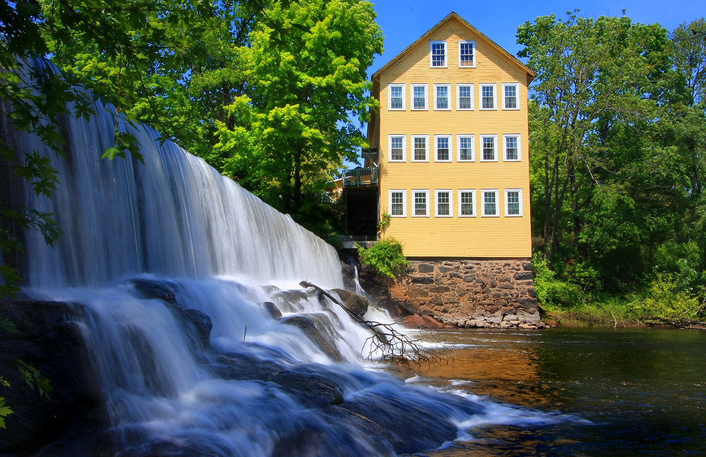
Old Mill on the Falls
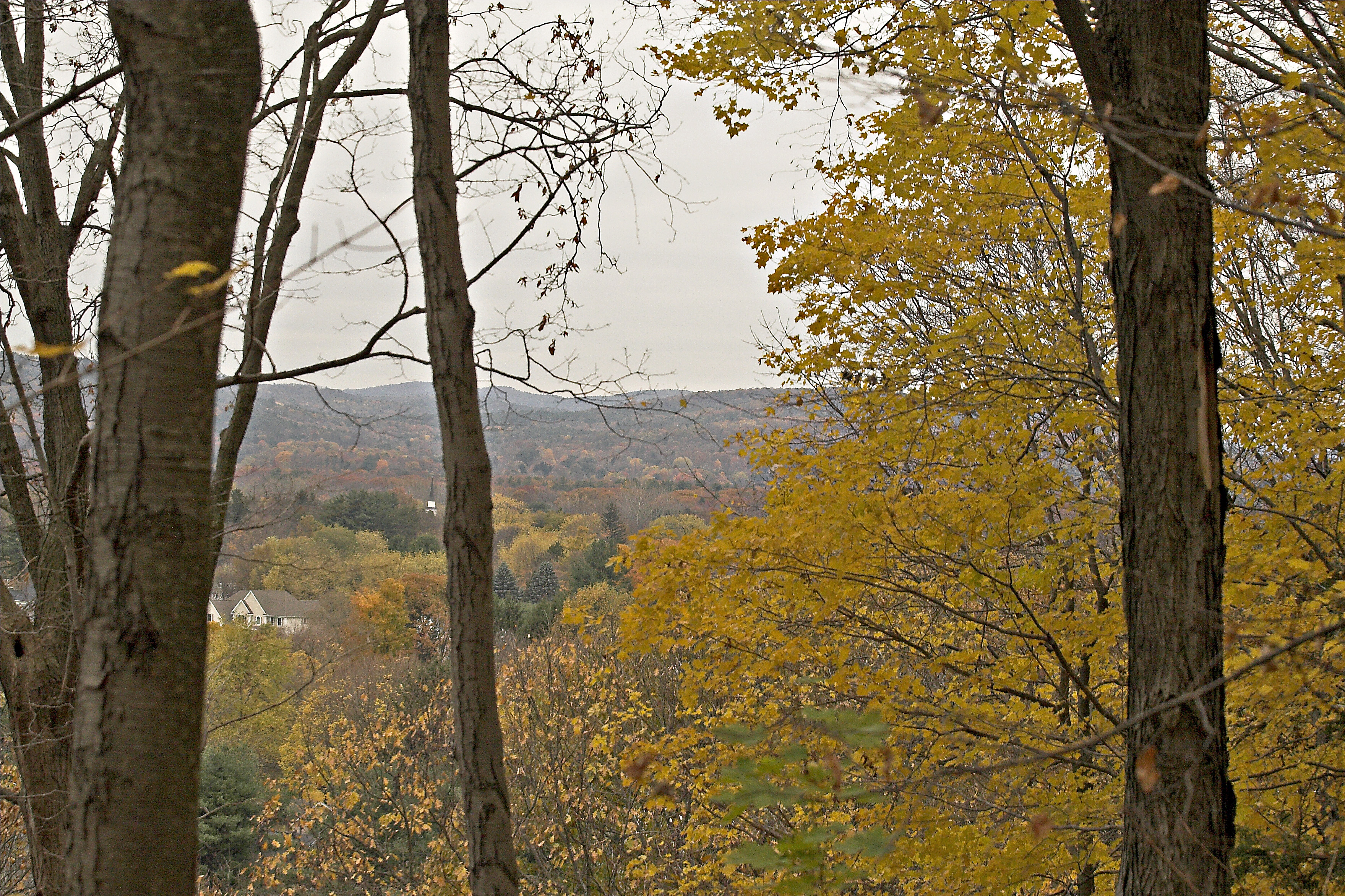
IMG_0240: Fall Color

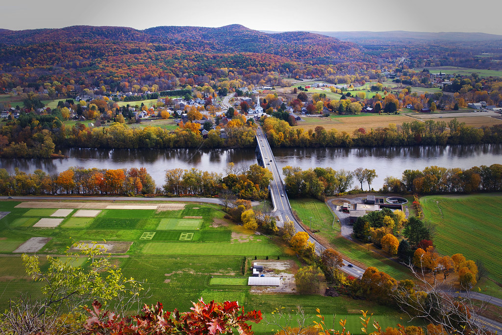
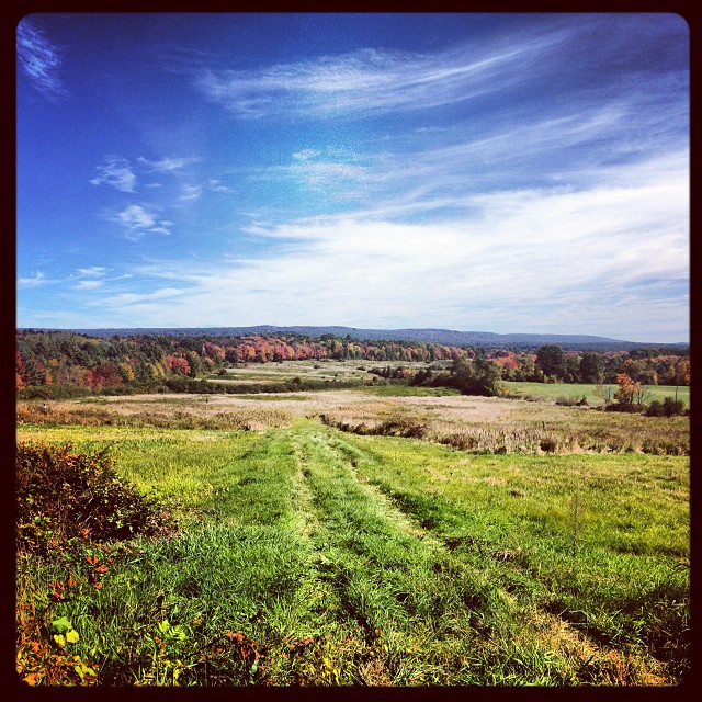
That view again.
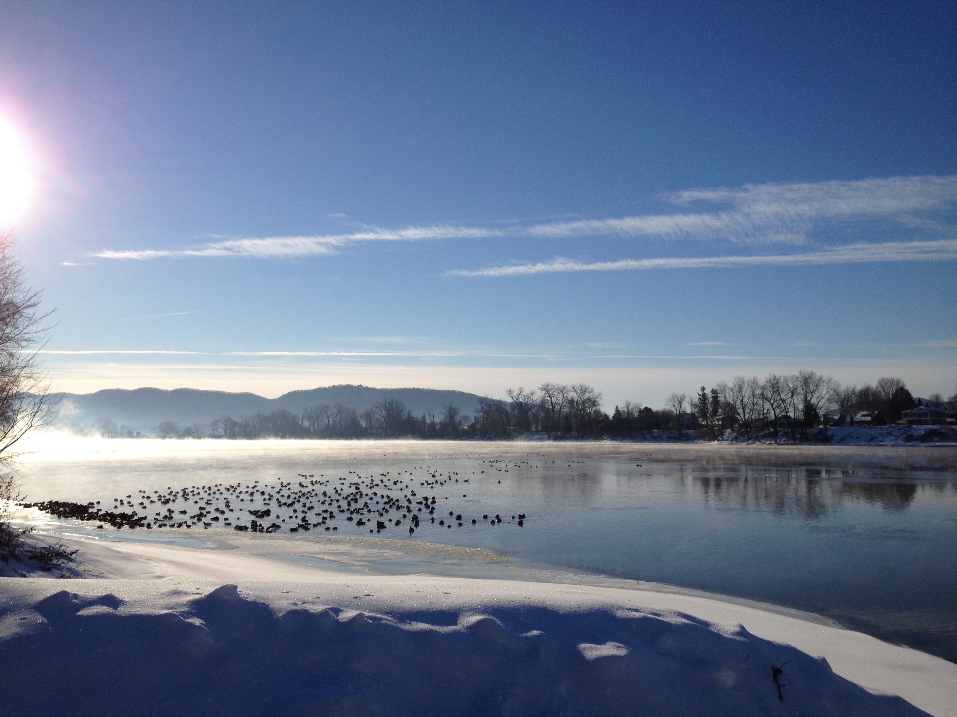
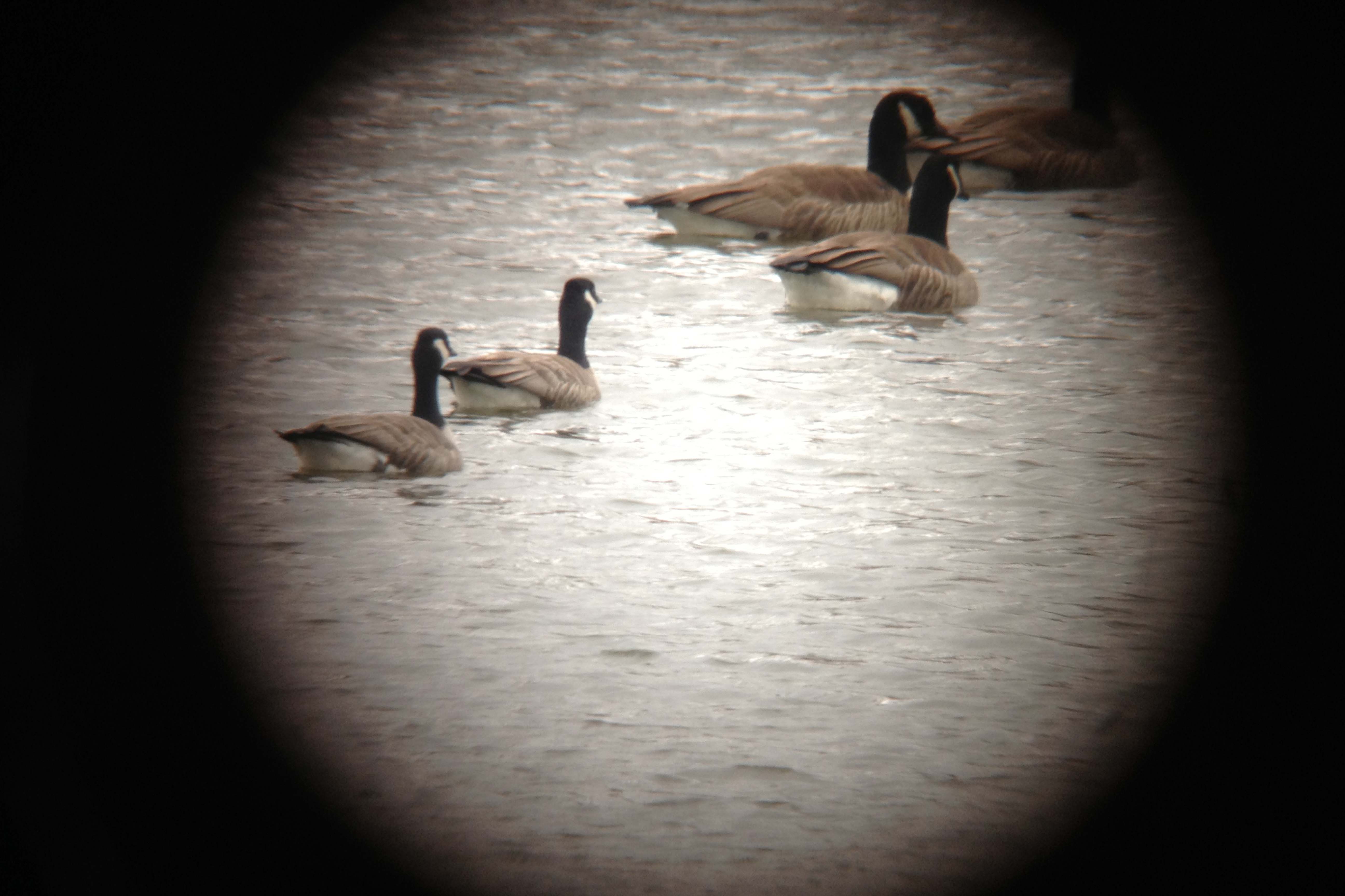
Waterfowl on the Connecticut River

Northern Pintail
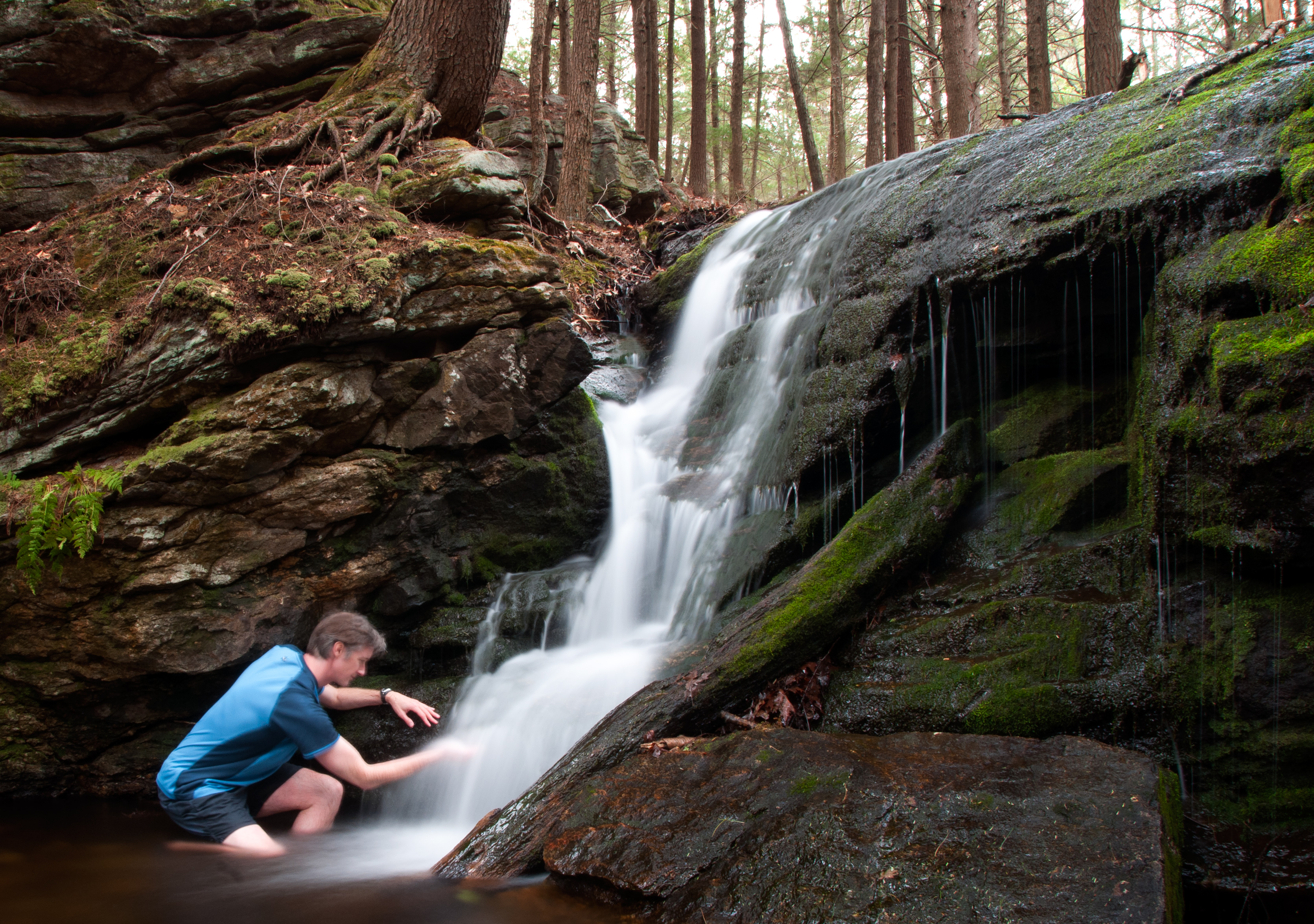
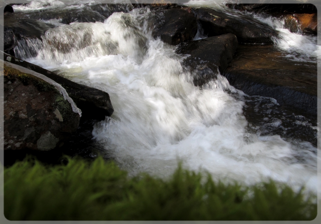
Silky Tresses

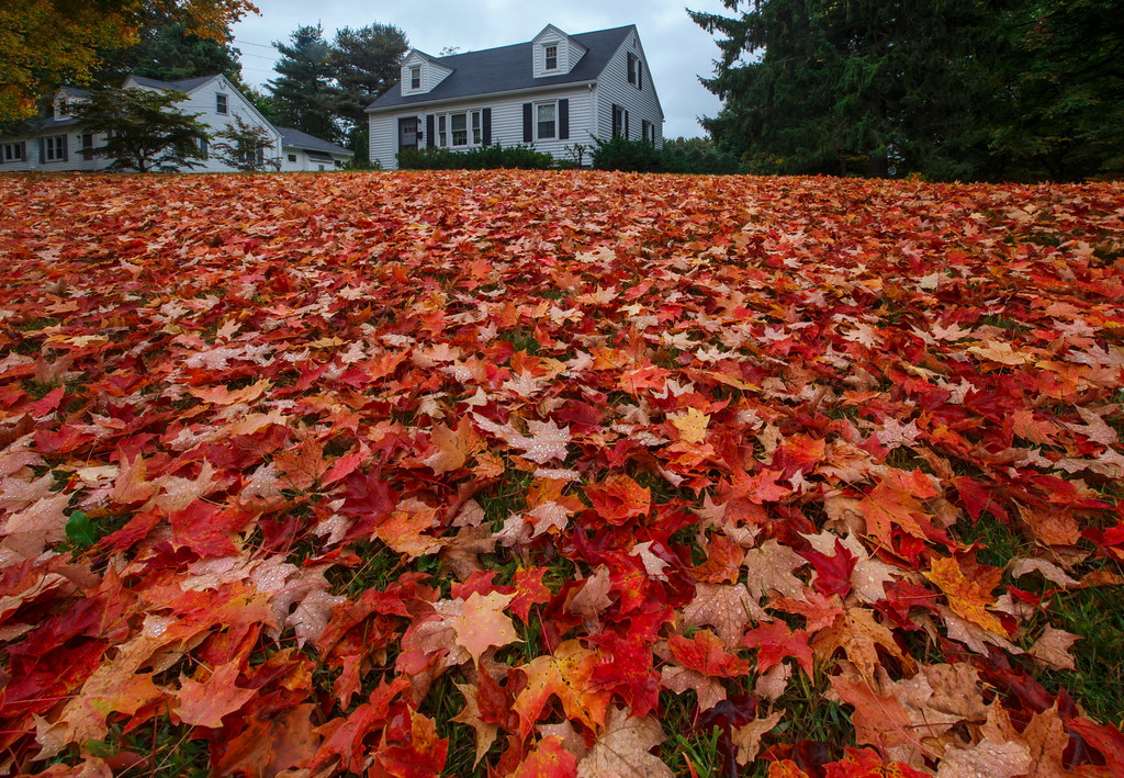
Autumn Foliage
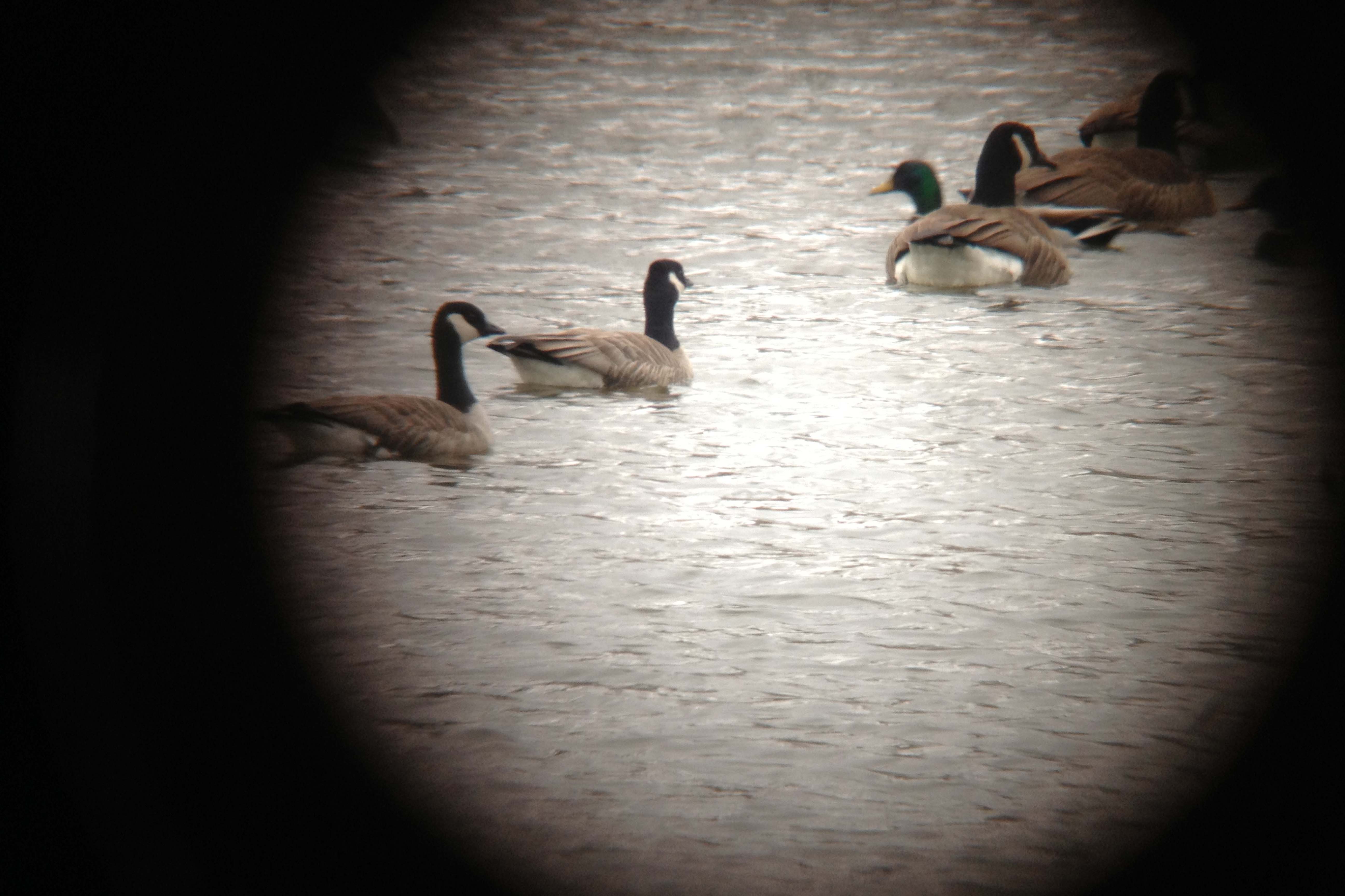
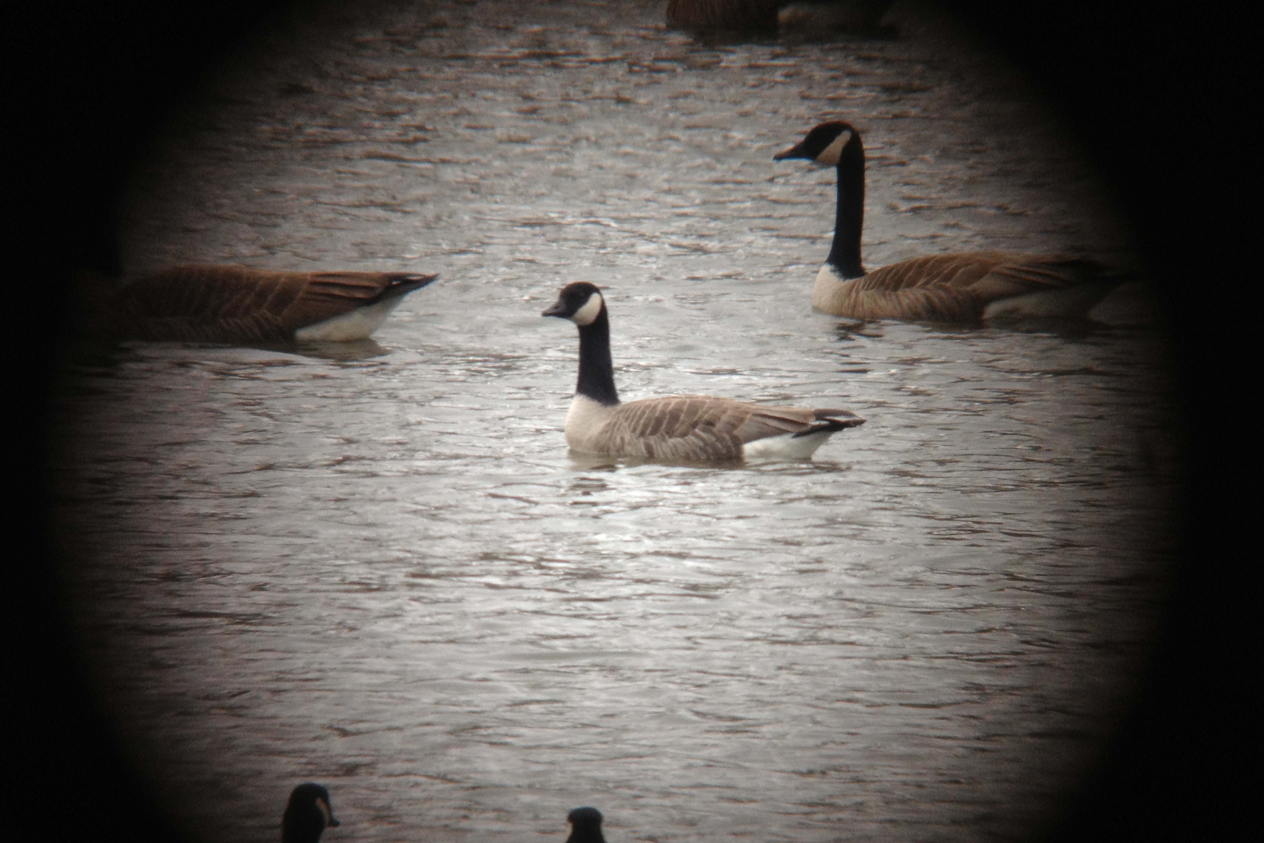
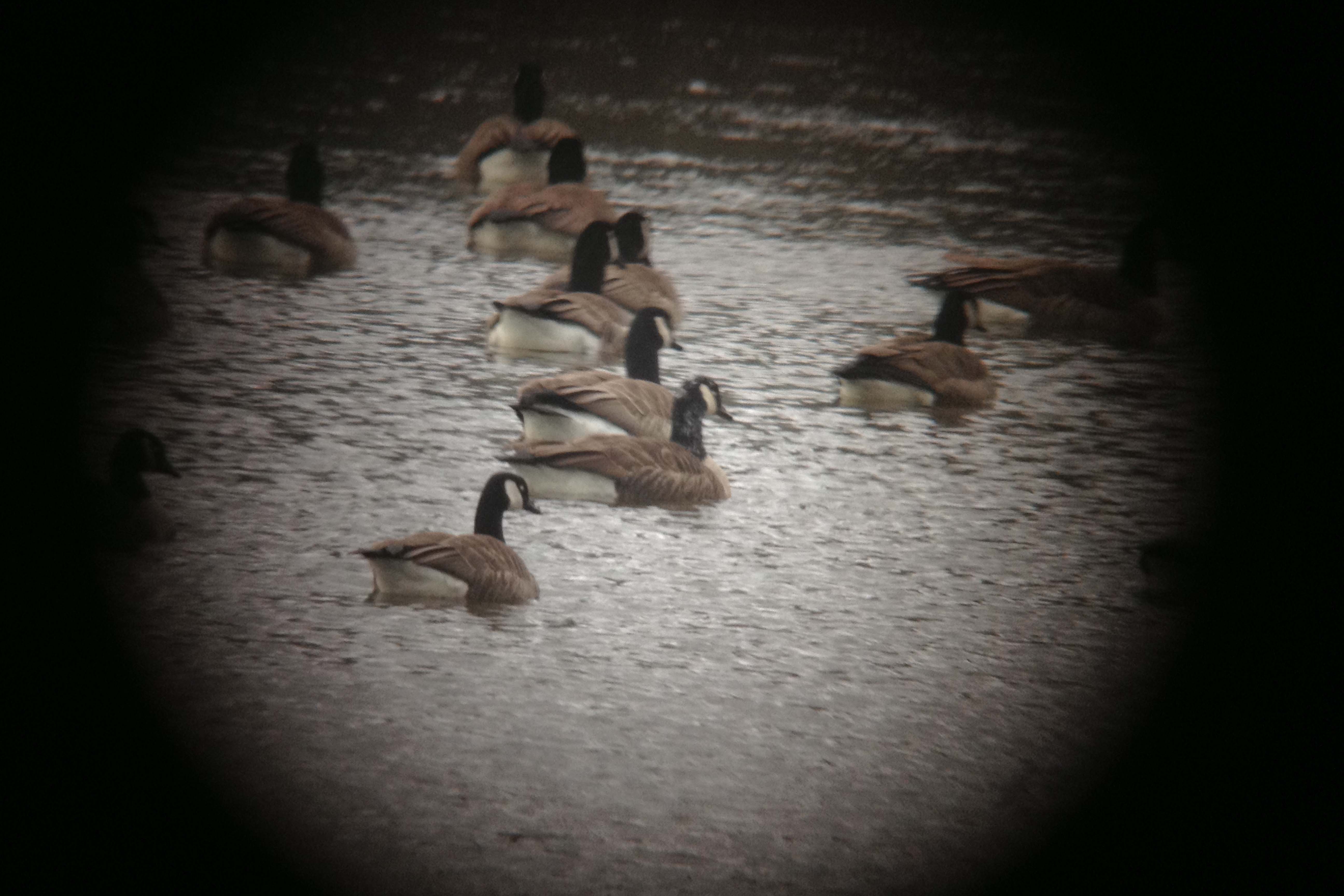
Cackling Geese
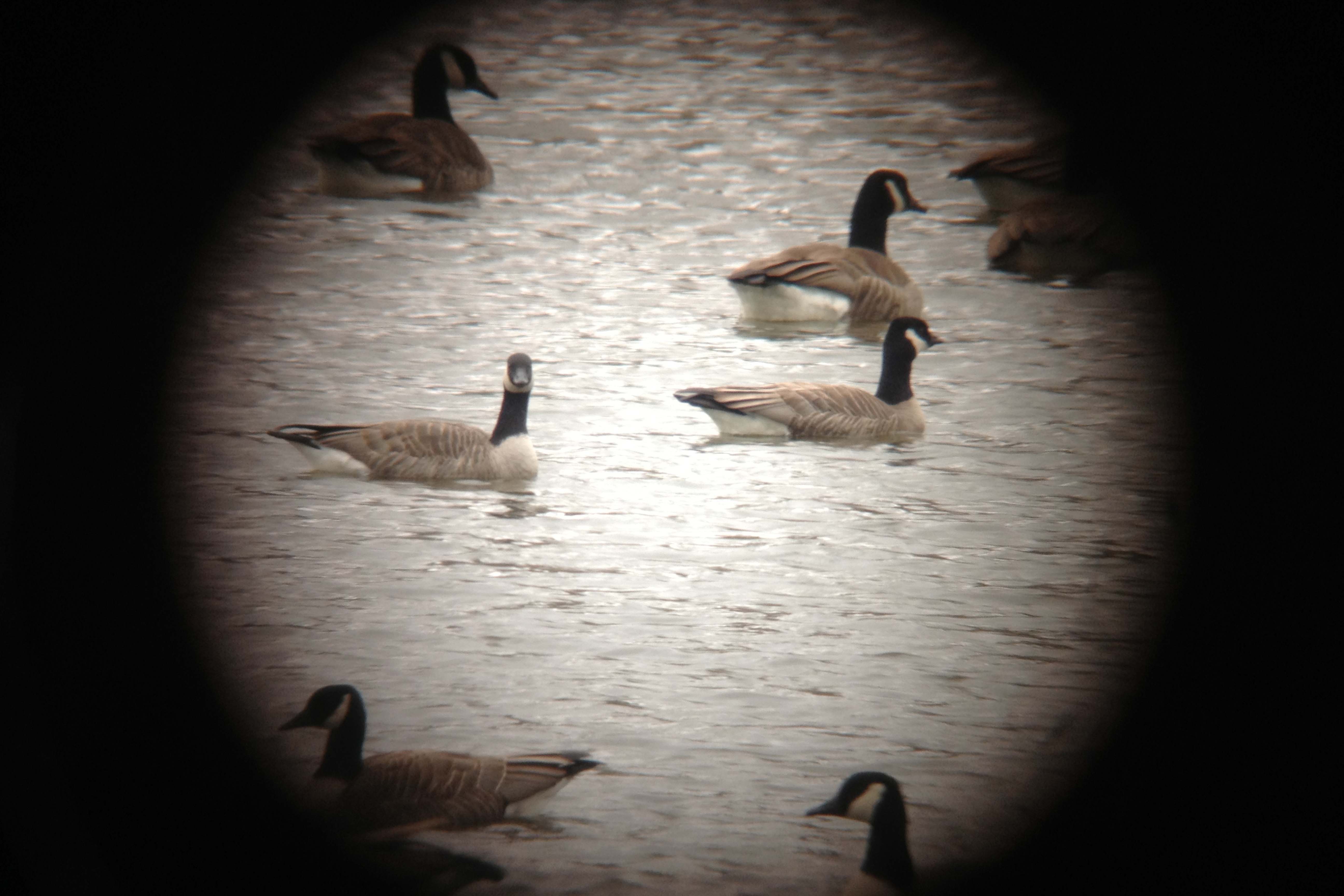
Cackling Geese
Cackling Goose

lower, wolves
IMG_0249: Fall Color
Cackling Goose
Cackling Geese

Snowy Egret
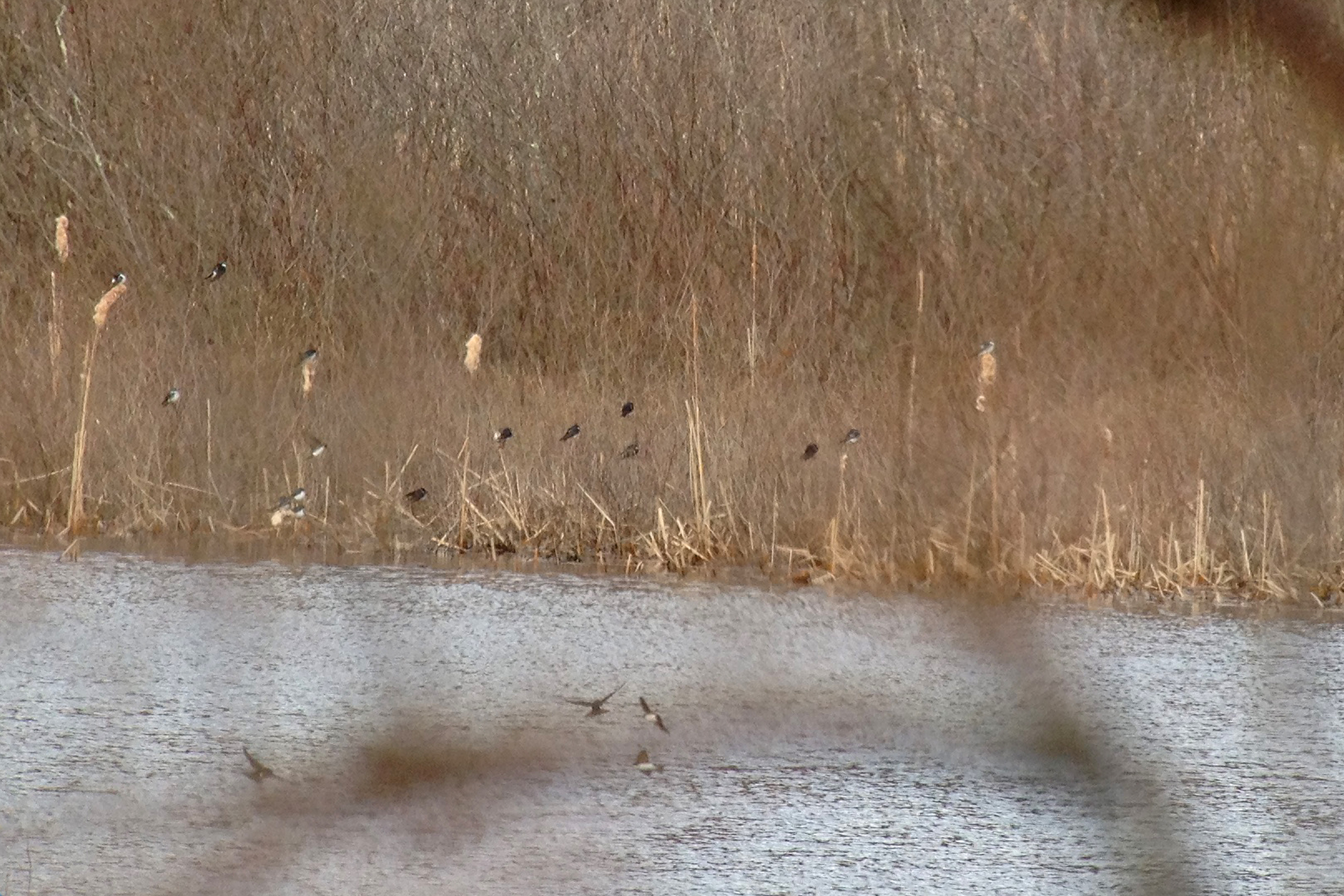
Tree Swallows
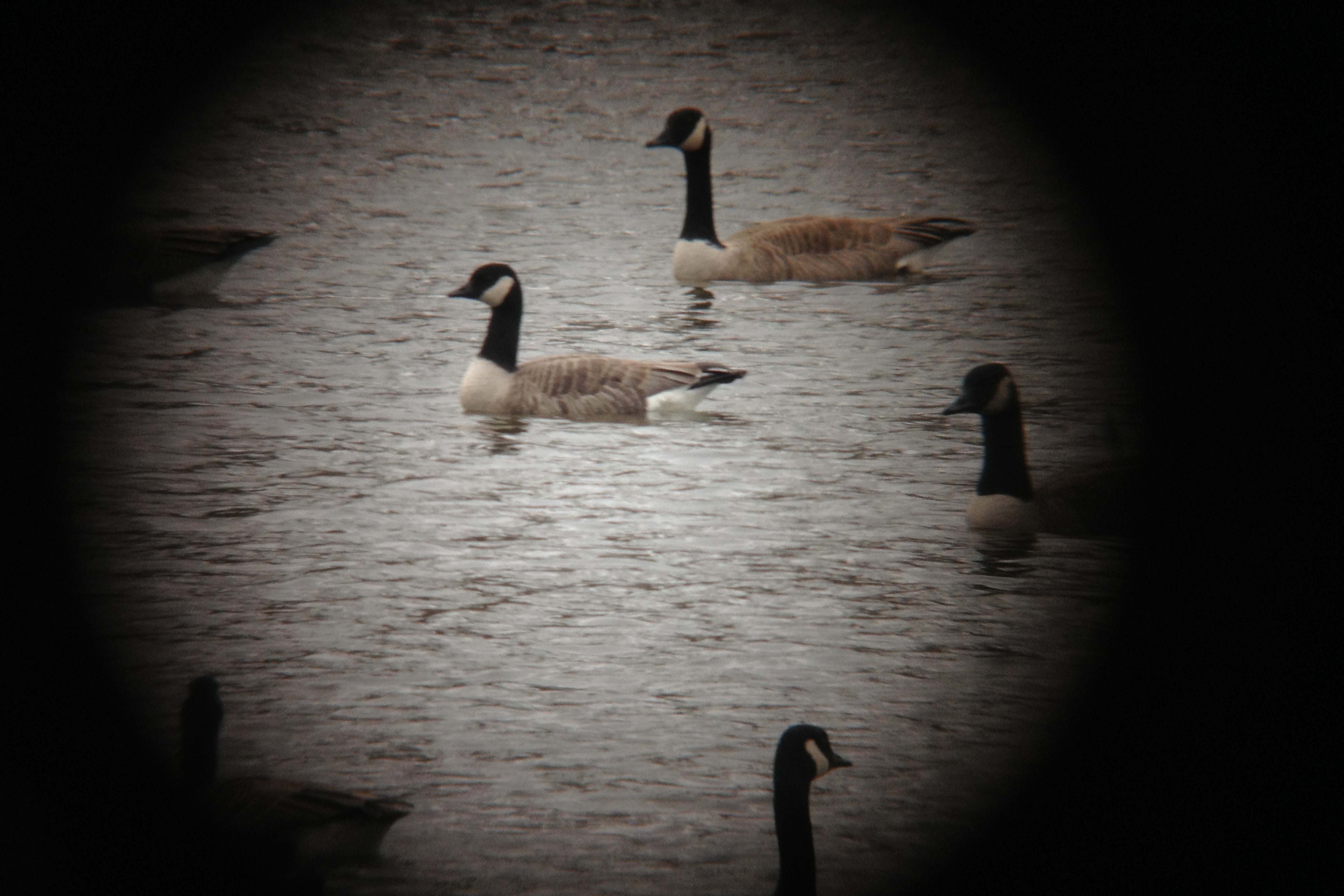
Canada Goose with unusual head markings

Adieu... 2013 Autumn

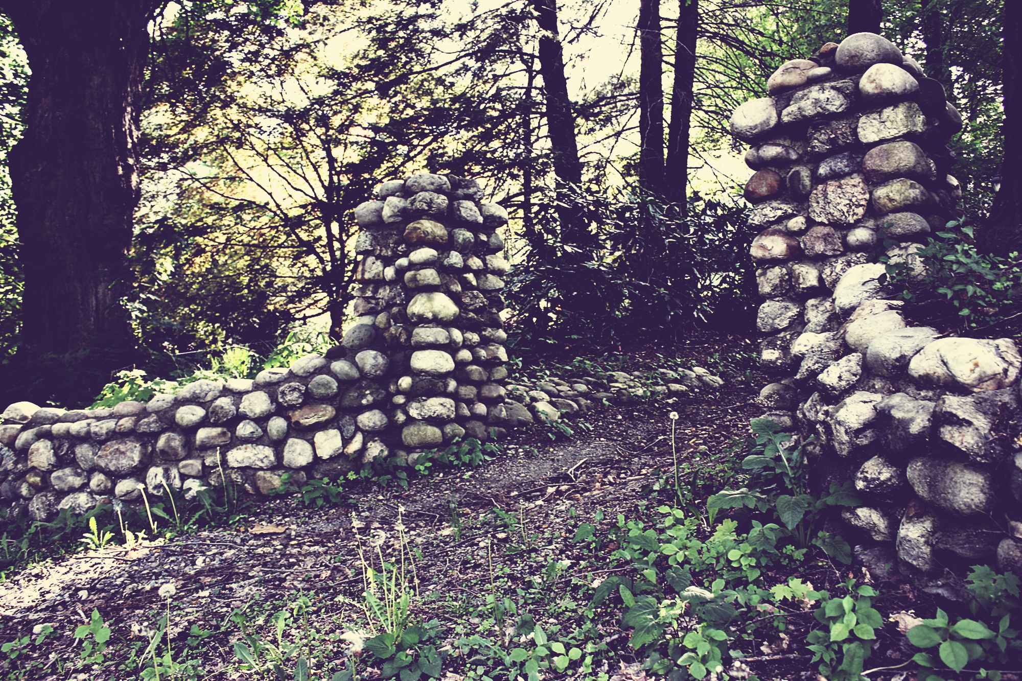
Path to Narnia
Starting our New England tour in Massachusetts
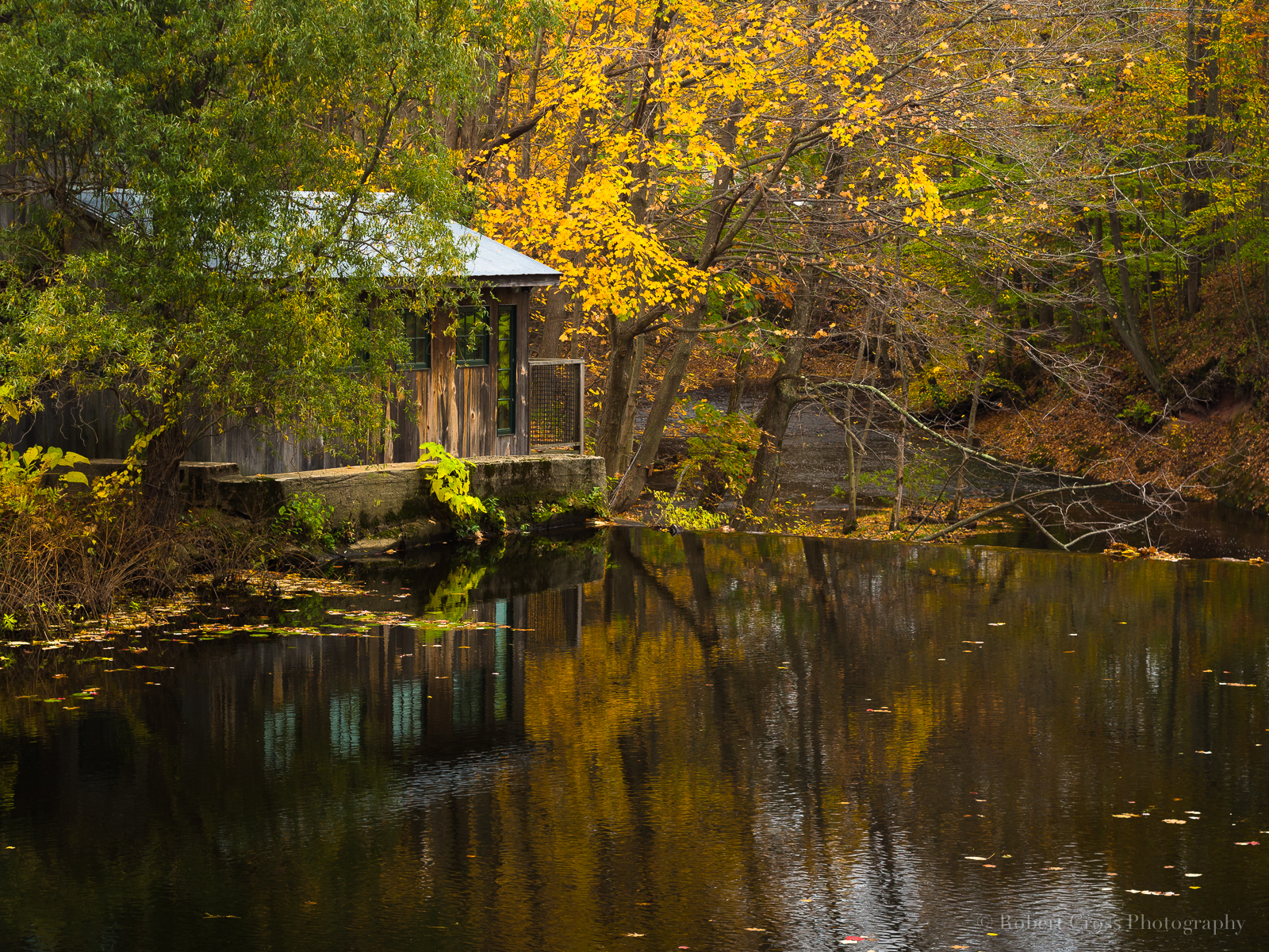
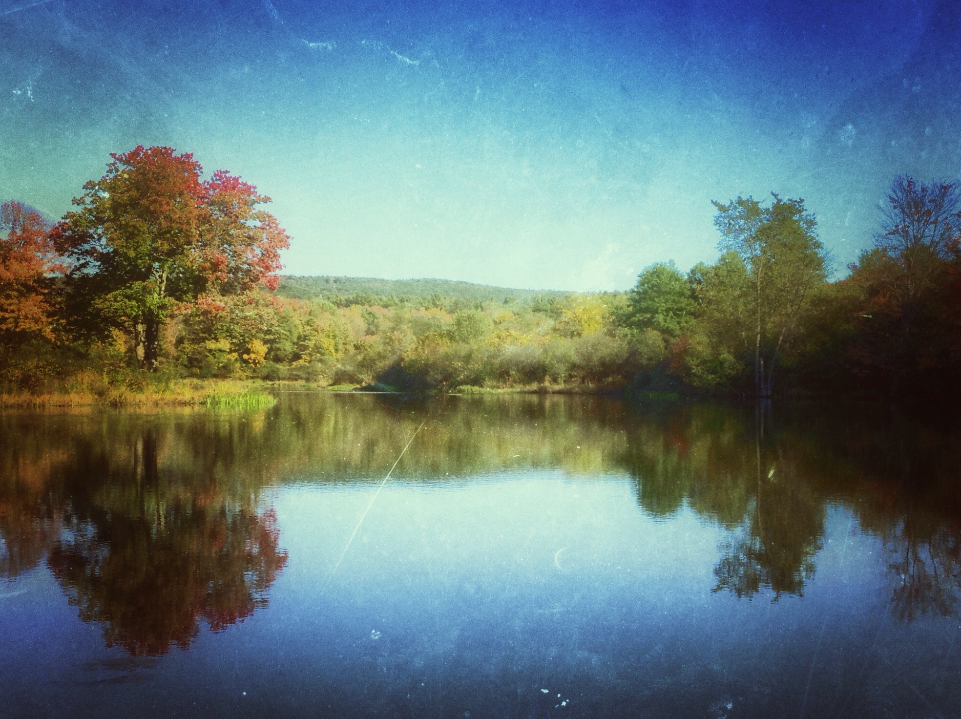
Autumn Reflections at a Massachusetts Mill

yellow skies of June first
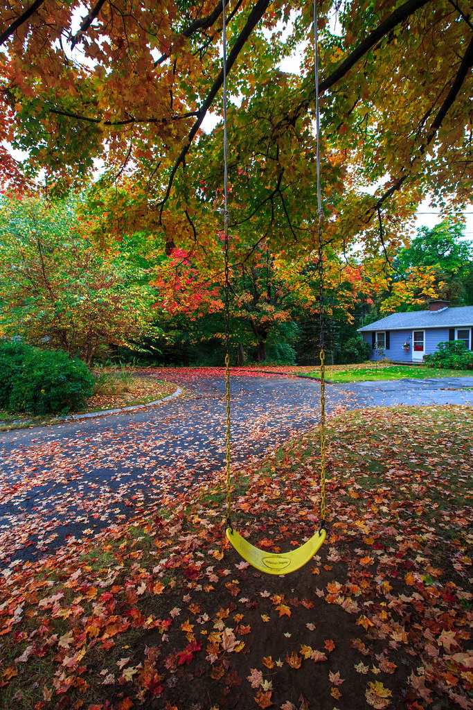
Autumn in Amherst

Horned Lark, Honey Pot Road, Hadley, MA
Magic Wings garden
Magic Wings garden
Magic Wings garden
20D-2007-11-08-014-rsp-pse3

Sugarloaf Mountain, Deerfield, Massachusetts - HDR
The Drought is Over!

flight above Hadley
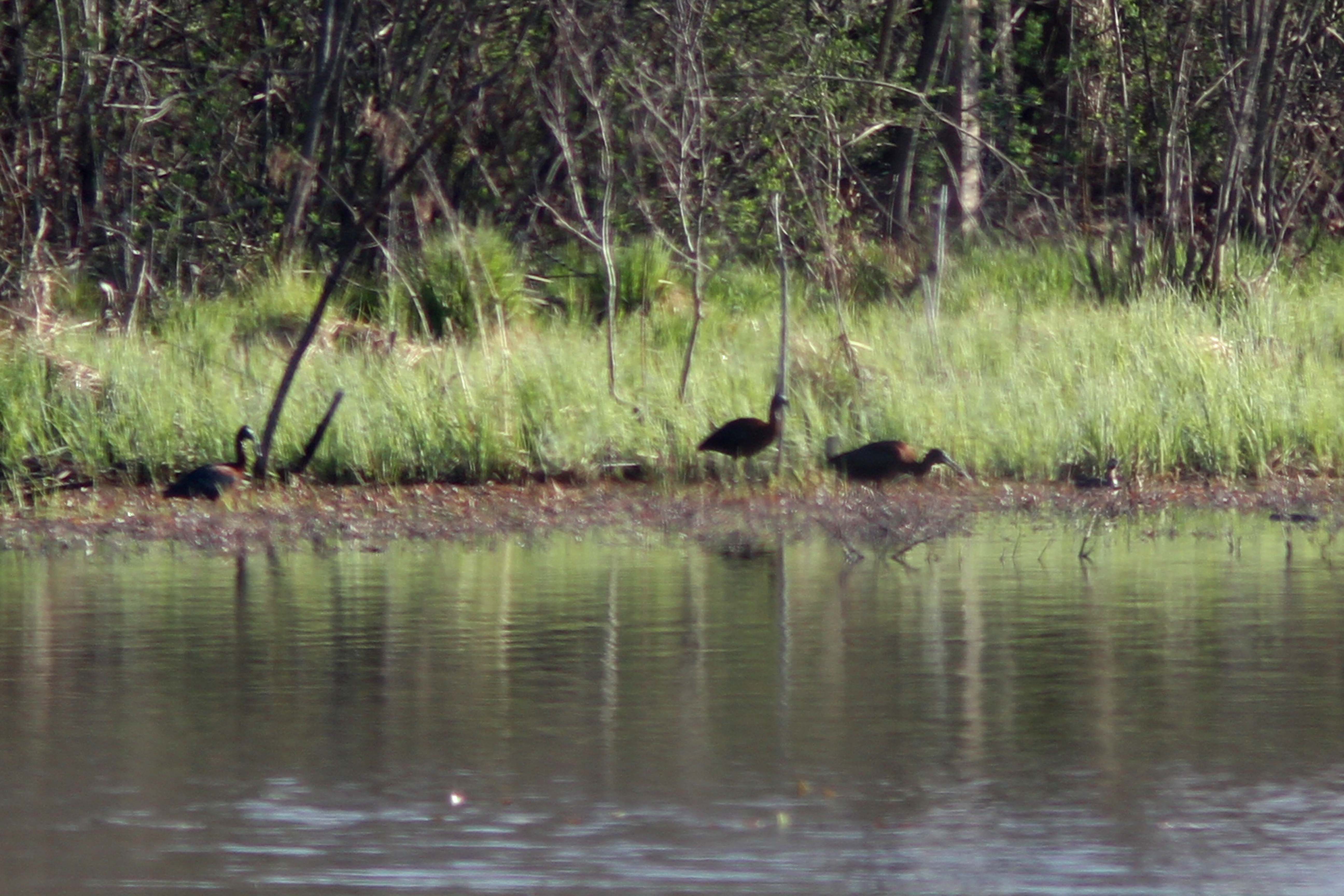
Glossy Ibis (with Pied billed Grebe on right)

Will o' The Wisp

watching the sunset, listening to killer mike, practicing my embroidery, and just living that #nofiltervacationlife #home #thankful

Abandoned Car

French King Bridge I
Topographic Map of Leverett, MA, USA
Find elevation by address:

Places in Leverett, MA, USA:
Places near Leverett, MA, USA:
58 Depot Rd, Leverett, MA, USA
156 Long Plain Rd
112 Old Mountain Rd
71 Henry St, Amherst, MA, USA
73 Cave Hill Rd
73 Cave Hill Rd
993 E Pleasant St
Pratt Corner Road
24 Owen Dr
508 Pratt Corner Rd
196 Shutesbury Rd
409 Henry St
North Amherst
7 Dudleyville Rd
Moore's Corner Church
99 Sand Hill Rd
29 Laurel Hill Rd
43 Eastman Ln
29 Laurel Hill Drive
Wildwood Cemetery
Recent Searches:
- Elevation of Corso Fratelli Cairoli, 35, Macerata MC, Italy
- Elevation of Tallevast Rd, Sarasota, FL, USA
- Elevation of 4th St E, Sonoma, CA, USA
- Elevation of Black Hollow Rd, Pennsdale, PA, USA
- Elevation of Oakland Ave, Williamsport, PA, USA
- Elevation of Pedrógão Grande, Portugal
- Elevation of Klee Dr, Martinsburg, WV, USA
- Elevation of Via Roma, Pieranica CR, Italy
- Elevation of Tavkvetili Mountain, Georgia
- Elevation of Hartfords Bluff Cir, Mt Pleasant, SC, USA