Elevation of Monroe, MA, USA
Location: United States > Massachusetts > Franklin County >
Longitude: -73.005105
Latitude: 42.7143925
Elevation: -10000m / -32808feet
Barometric Pressure: 295KPa
Elevation Map:
Satellite Map:
Related Photos:

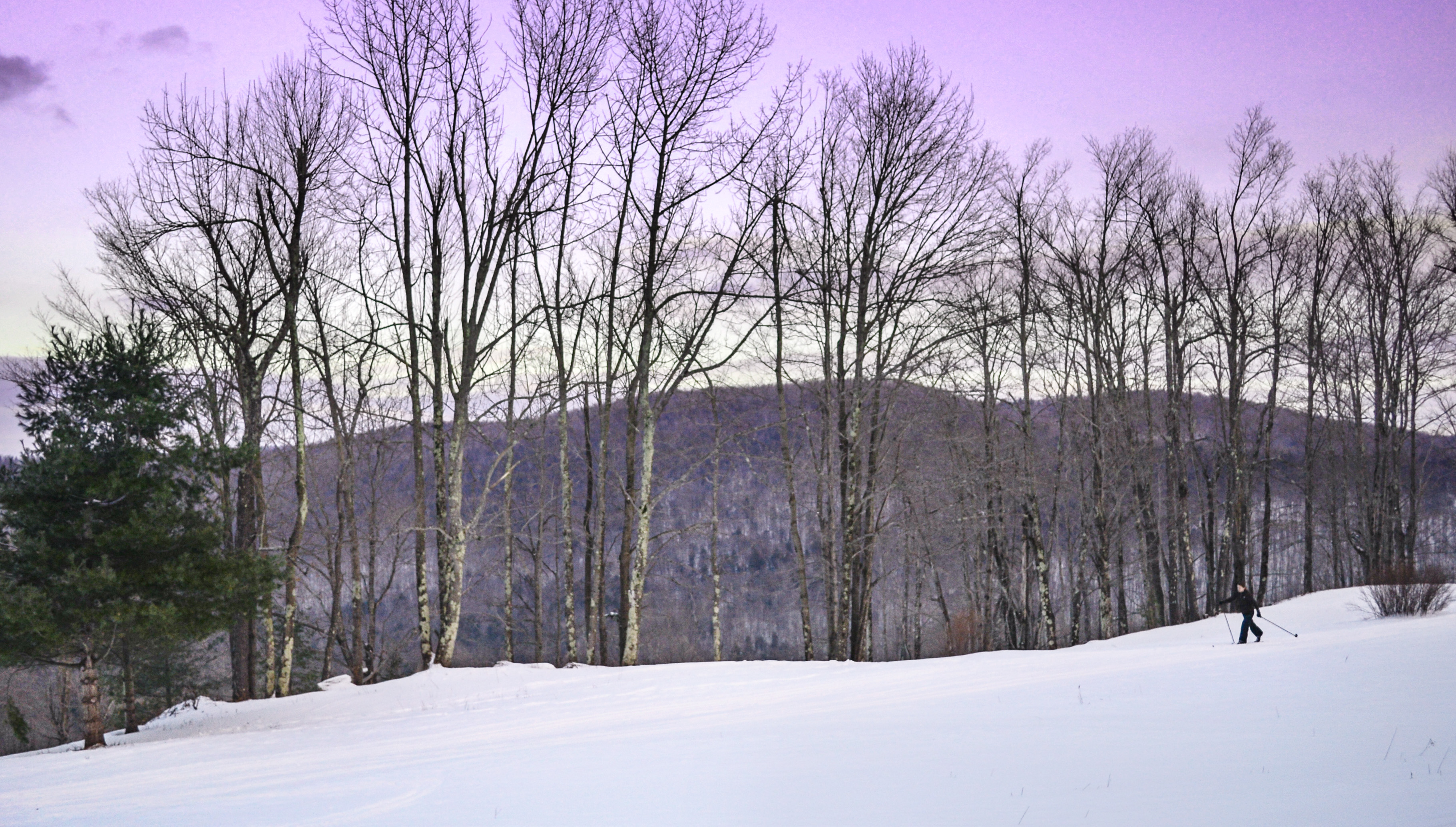
Playing in the Snow

Dice on the Mirror
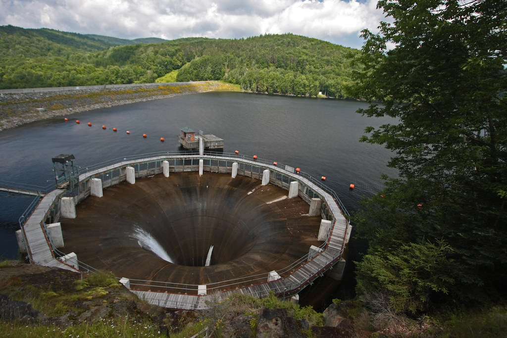
The Glory Hole ~ Harriman Reservoir

Outside Williamstown

Hairpin Turn Lookout I

Hairpin Turn Lookout II

View of Williamstown from Mount Prospect
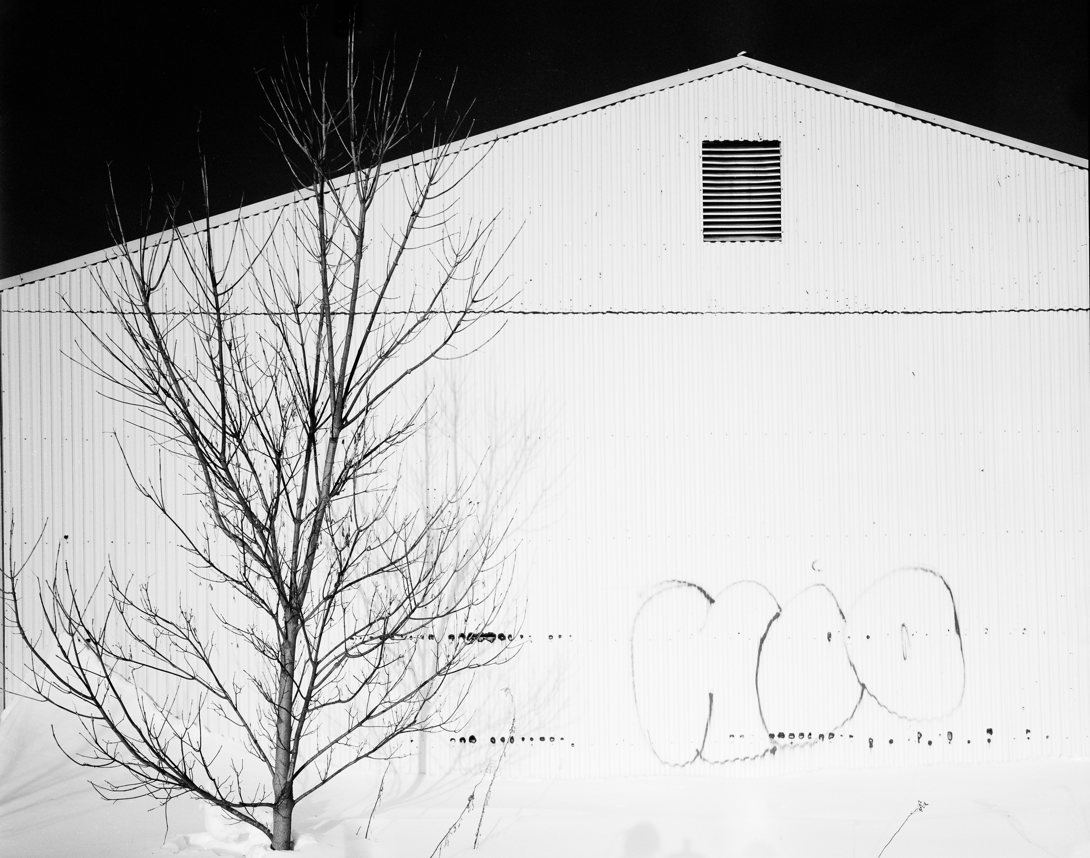
2010-12-28 Williamstown - Warehouse

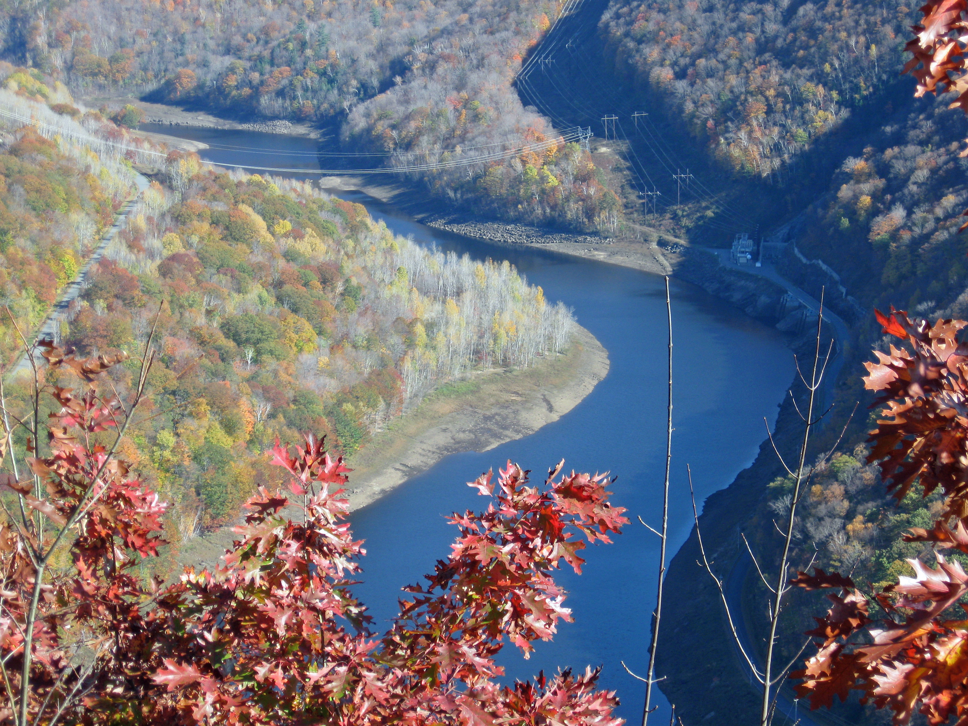
Frosty Start to Autumn Day

Berkshire Blues

Twin Cascade #4

Blue Minor - For my friend rickhanger

Twin Cascade 1

North Adams Views

Chairs with a view of Mt Greylock from Adams, MA

Sepia Saturation

On top of the world

Memorial Tower

Bascom Lodge, Full 360'deg View.
it's not about the destination, it's about the journey
View of Zoar Gap - Quite A Hike

Farm Road

The Berkshire Hills
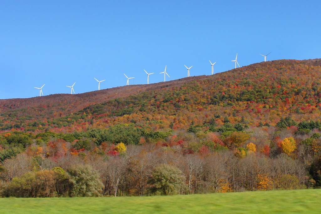
Wind Turbines in the Berkshires-Mass 04680

northern berkshire winterscape

Route 2, Eastern Summit

Upstream from Parker Brook Falls, MA
Parker Brook Falls - Savoy, Massachusetts

Route 2, Western Summit

FullSizeRender 2

another stream long exposure

_DSC9808.jpg

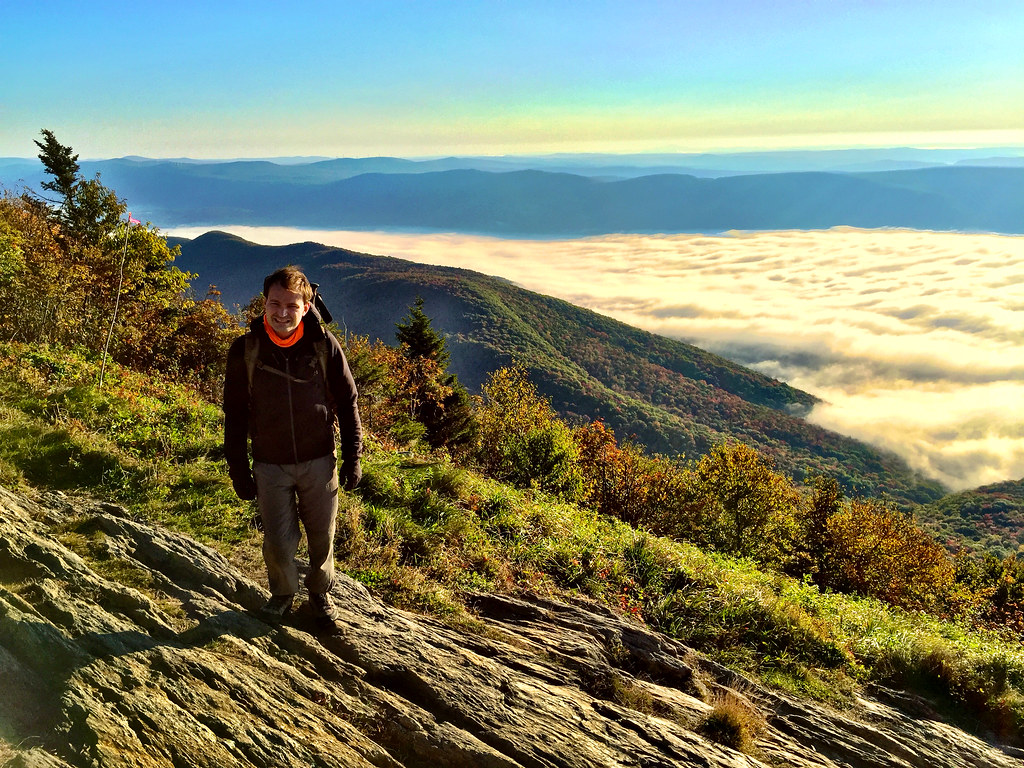
Morning at the summit

2011 Out-takes #5/6

IMG_7991_2_3_tonemapped_edited-JMP

Mount Greylock
Matt Bradley on Mount Greylock

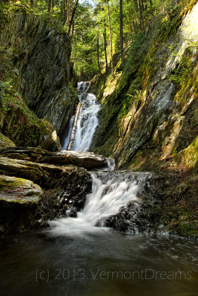
Parker Brook Falls
Topographic Map of Monroe, MA, USA
Find elevation by address:

Places in Monroe, MA, USA:
Places near Monroe, MA, USA:
88 Moores Rd
80 Moores Rd
40 Moores Rd
Tilda Hill Road
56 N County Rd
103 Blackstone Rd
Whitcomb Hill Road
Blackstone Road
Florida
47 Central Shaft Rd
72 Central Shaft Rd
72 Central Shaft Rd
16 Mohawk Trail
Strykers Road
2130 Mohawk Trail
329 S County Rd
539 Tunnel Rd
North Pond
Bog Pond
111 Charlene St
Recent Searches:
- Elevation of Congressional Dr, Stevensville, MD, USA
- Elevation of Bellview Rd, McLean, VA, USA
- Elevation of Stage Island Rd, Chatham, MA, USA
- Elevation of Shibuya Scramble Crossing, 21 Udagawacho, Shibuya City, Tokyo -, Japan
- Elevation of Jadagoniai, Kaunas District Municipality, Lithuania
- Elevation of Pagonija rock, Kranto 7-oji g. 8"N, Kaunas, Lithuania
- Elevation of Co Rd 87, Jamestown, CO, USA
- Elevation of Tenjo, Cundinamarca, Colombia
- Elevation of Côte-des-Neiges, Montreal, QC H4A 3J6, Canada
- Elevation of Bobcat Dr, Helena, MT, USA