Elevation of Gill, MA, USA
Location: United States > Massachusetts > Franklin County >
Longitude: -72.499636
Latitude: 42.6408105
Elevation: 80m / 262feet
Barometric Pressure: 100KPa
Elevation Map:
Satellite Map:
Related Photos:
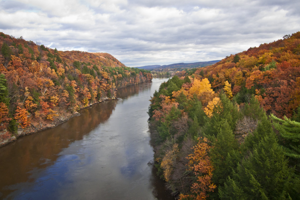
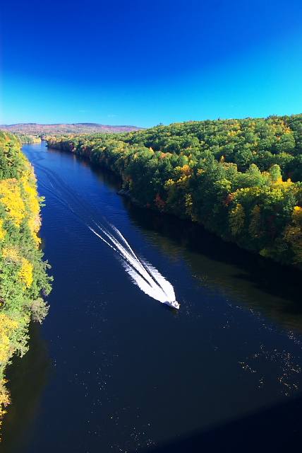
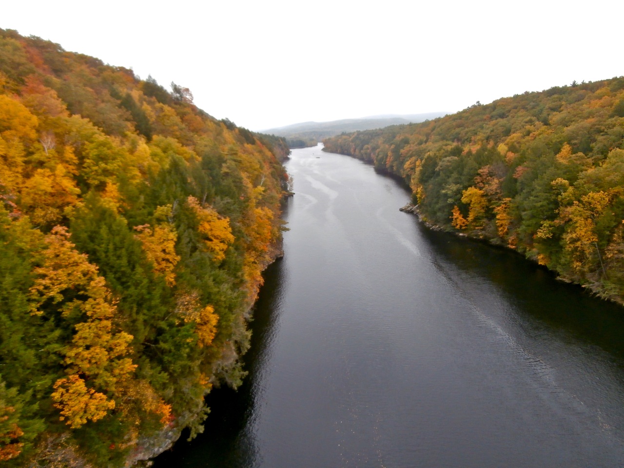
Autumn Foliage Scenery viewed from French King Bridge

Panoramic Autumn Foliage Scenery viewed from French King Bridge

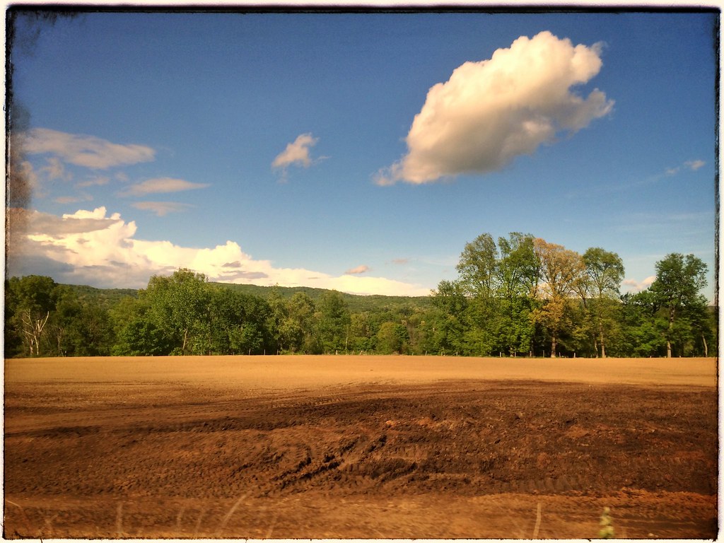
summer weekend

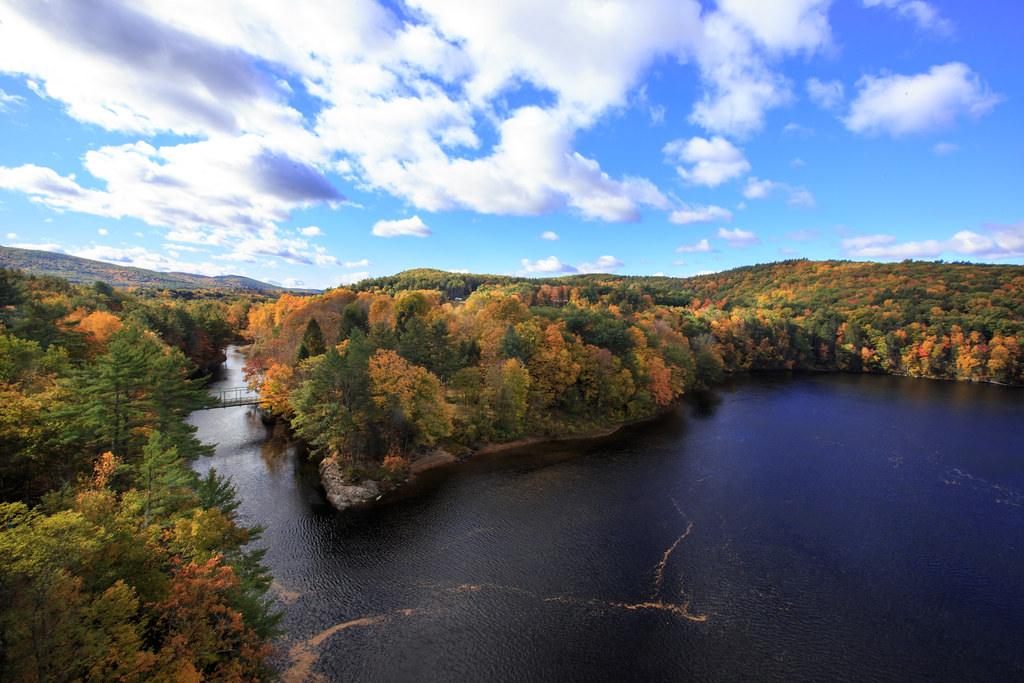
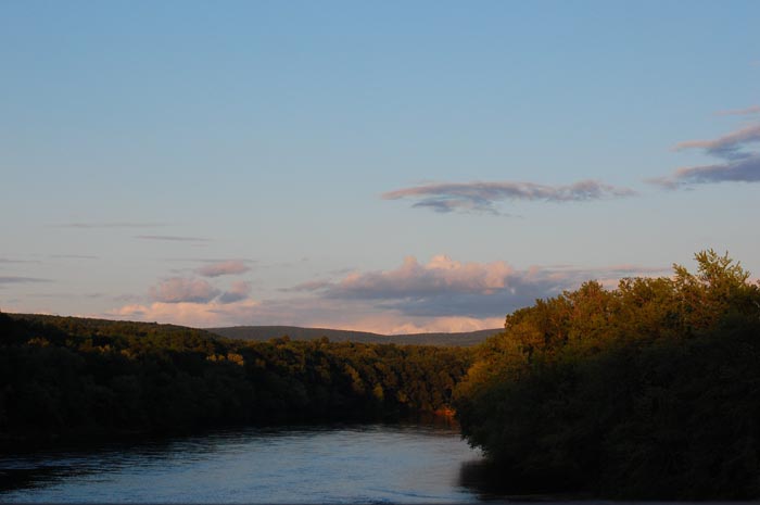
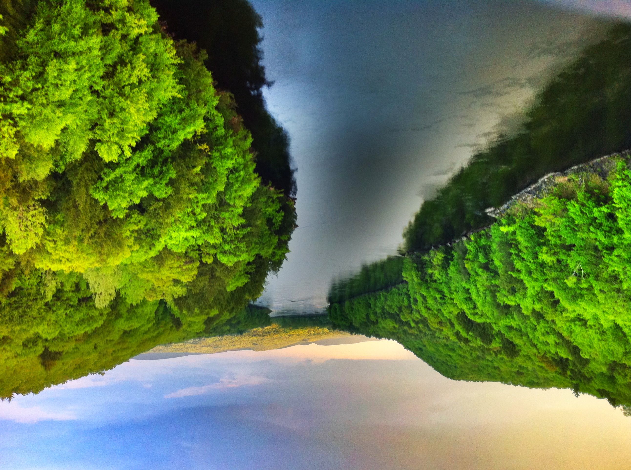
Connecticut River
Autumn View from Fench King Bridge, MA
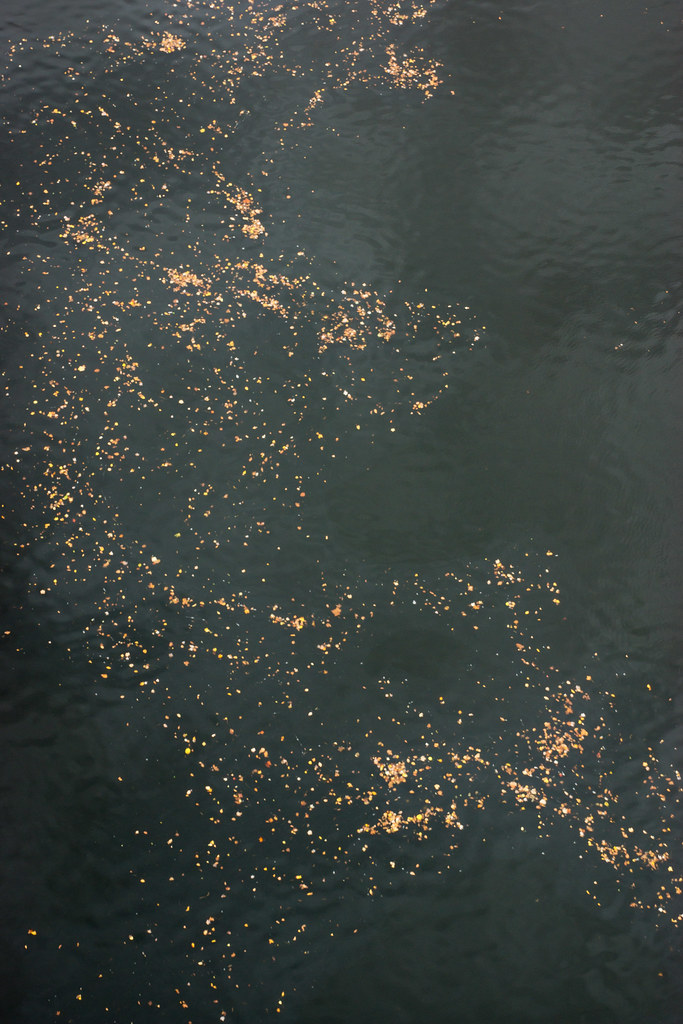
Leaves on the River
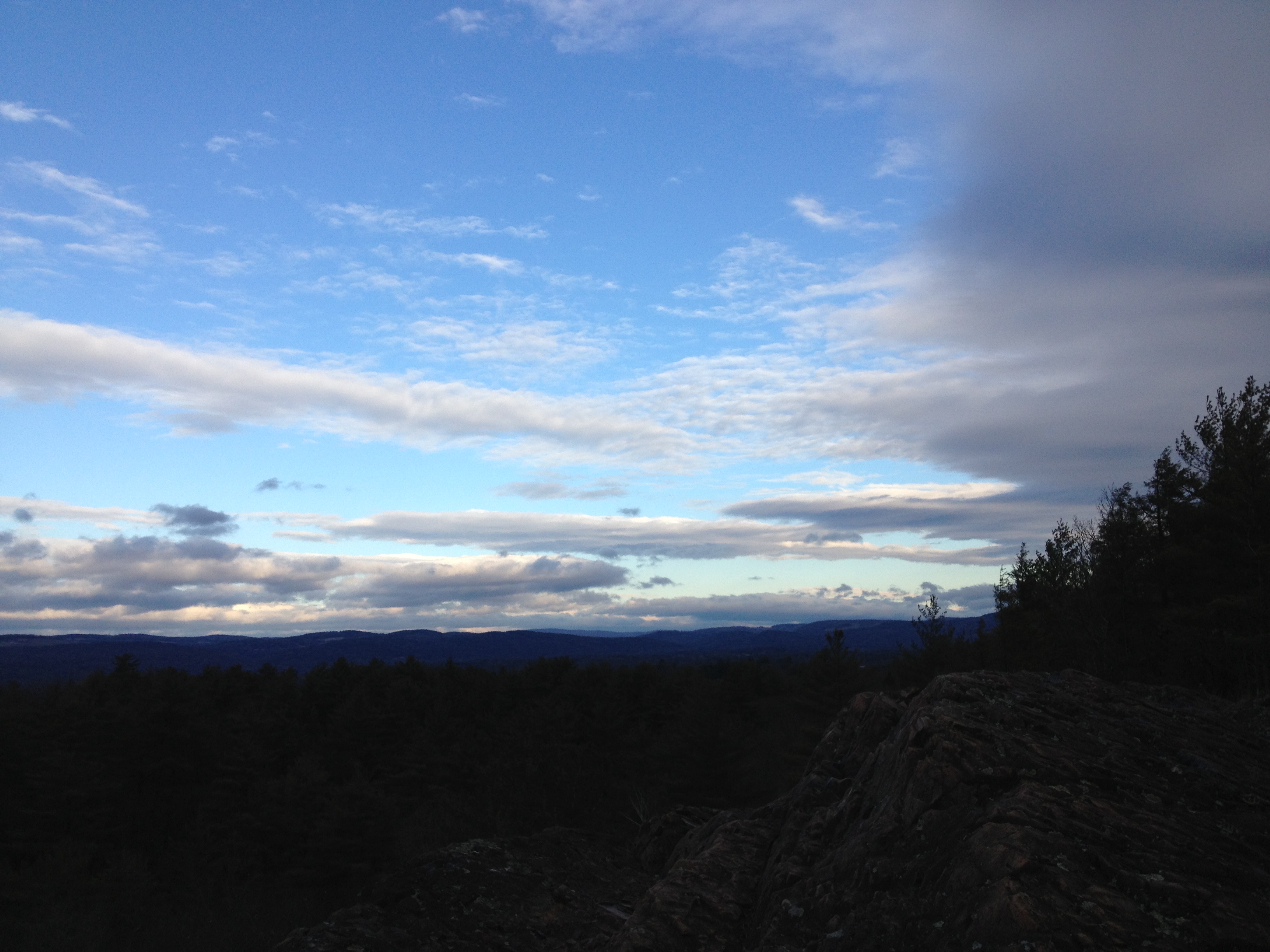
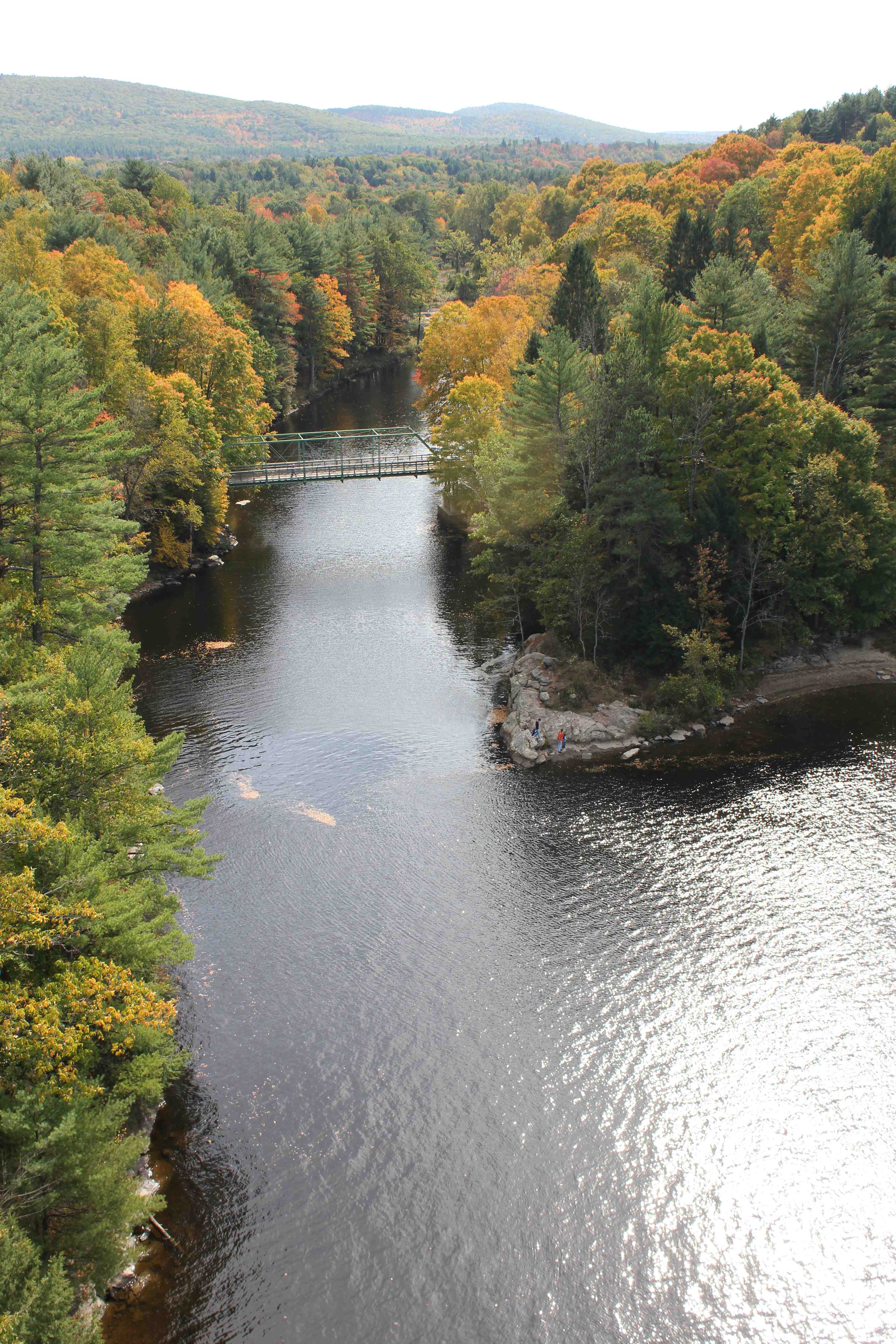
The view north
view off bridge
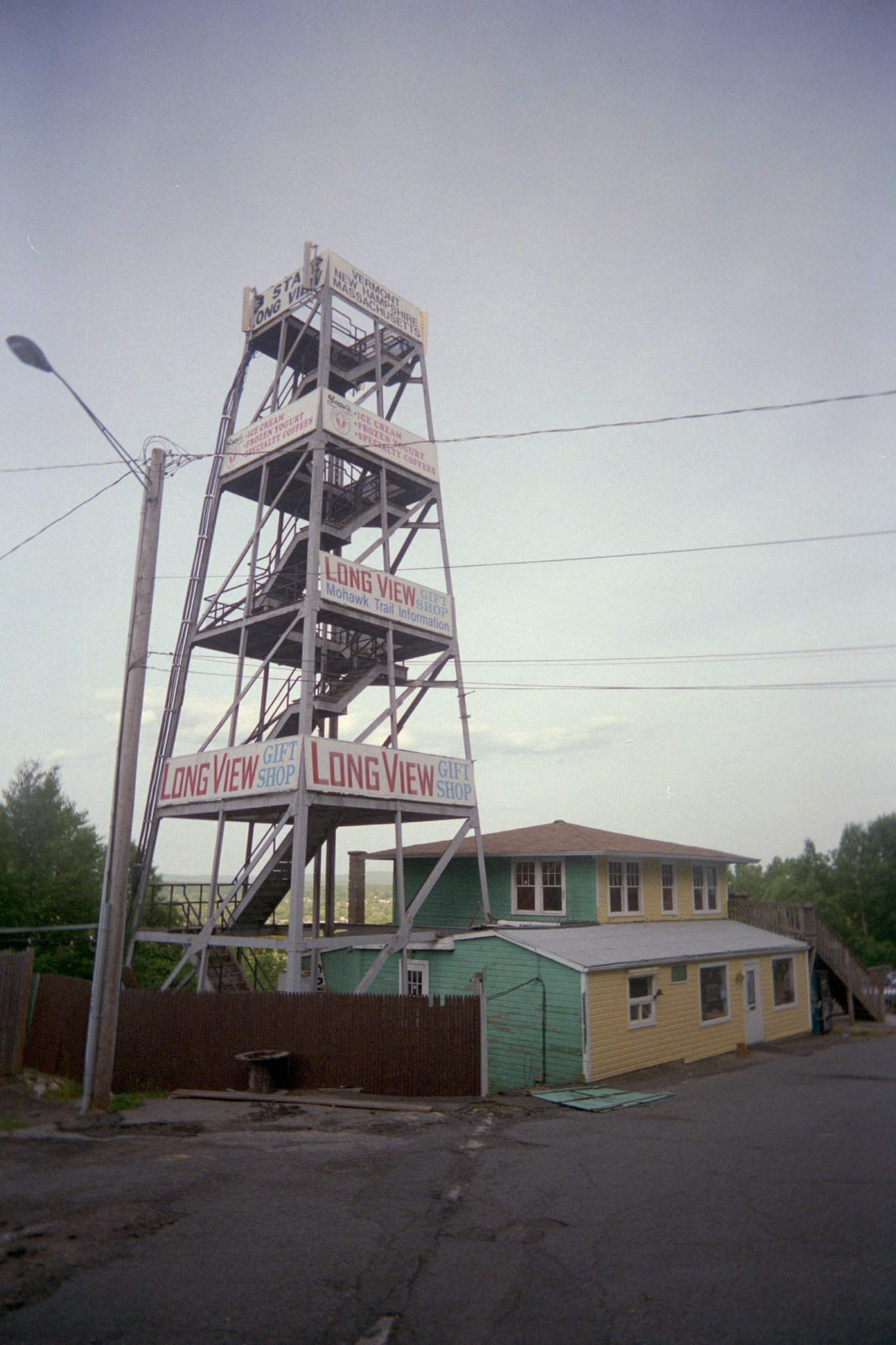
Long View Tower
CT River View
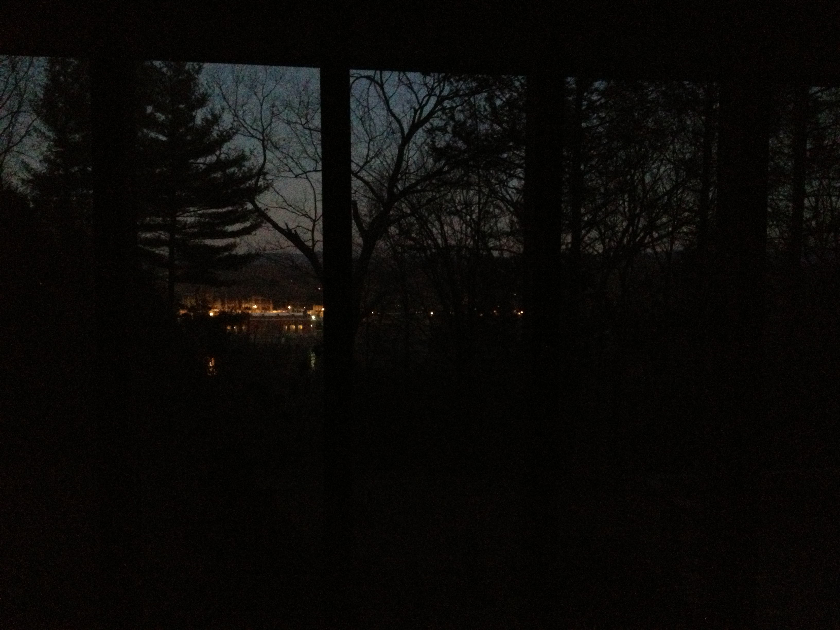
Last view of Cabot Station from the living room
A North View of Connecticut River on the bridge
Autumn Foliage Scenery viewed from French King Bridge
Autumn Foliage Scenery viewed from French King Bridge
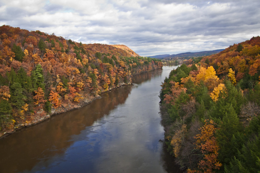
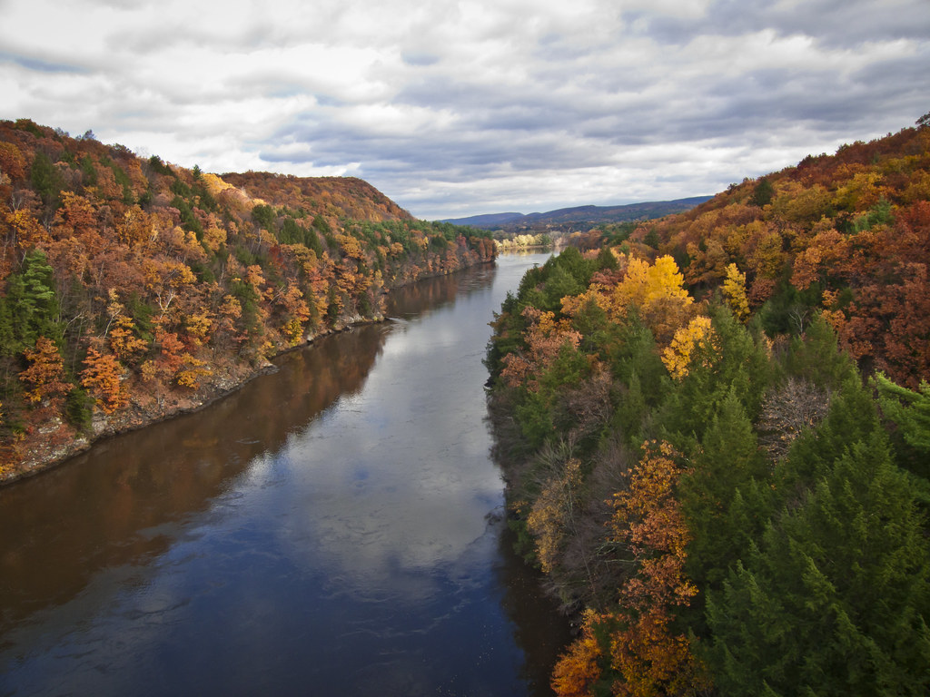
View from French King Bridge

French King Bridge, View
French King Bridge, View

View through Bridge to East Portal to Hurricane Damaged Eunice Williams Covered Bridge
French King's view

Commercial Heineken Bottle 1
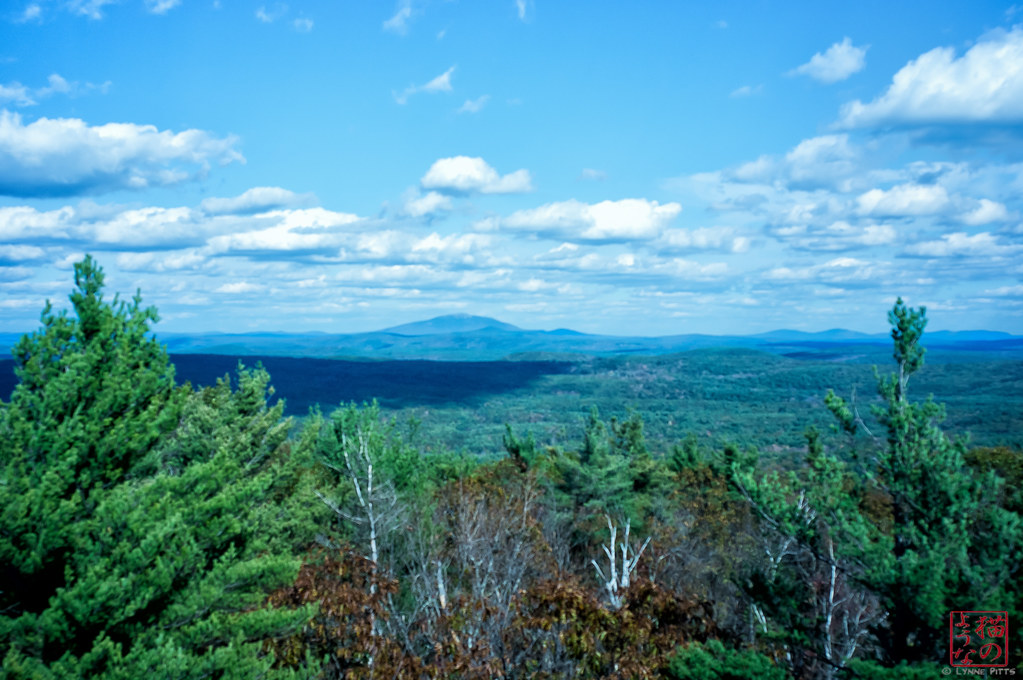
Monadnock from Mt Grace
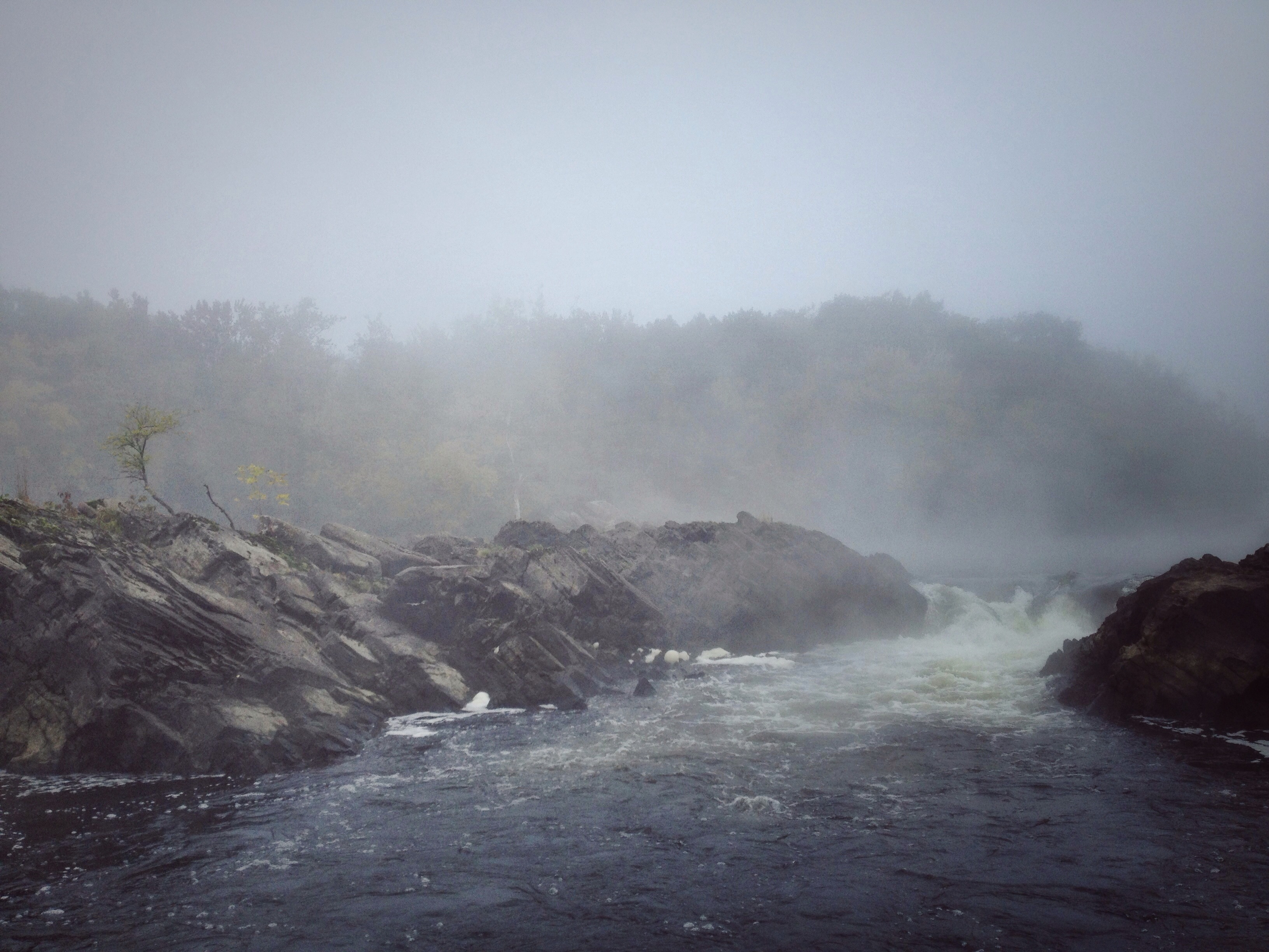
Rock Dam

French King Bridge I

Millers River

Adieu... 2013 Autumn

Railroad Bridge

French King Bridge II
24 May 2014

@jlef423 on a train

I love this place ❤#Northfield #MA #love
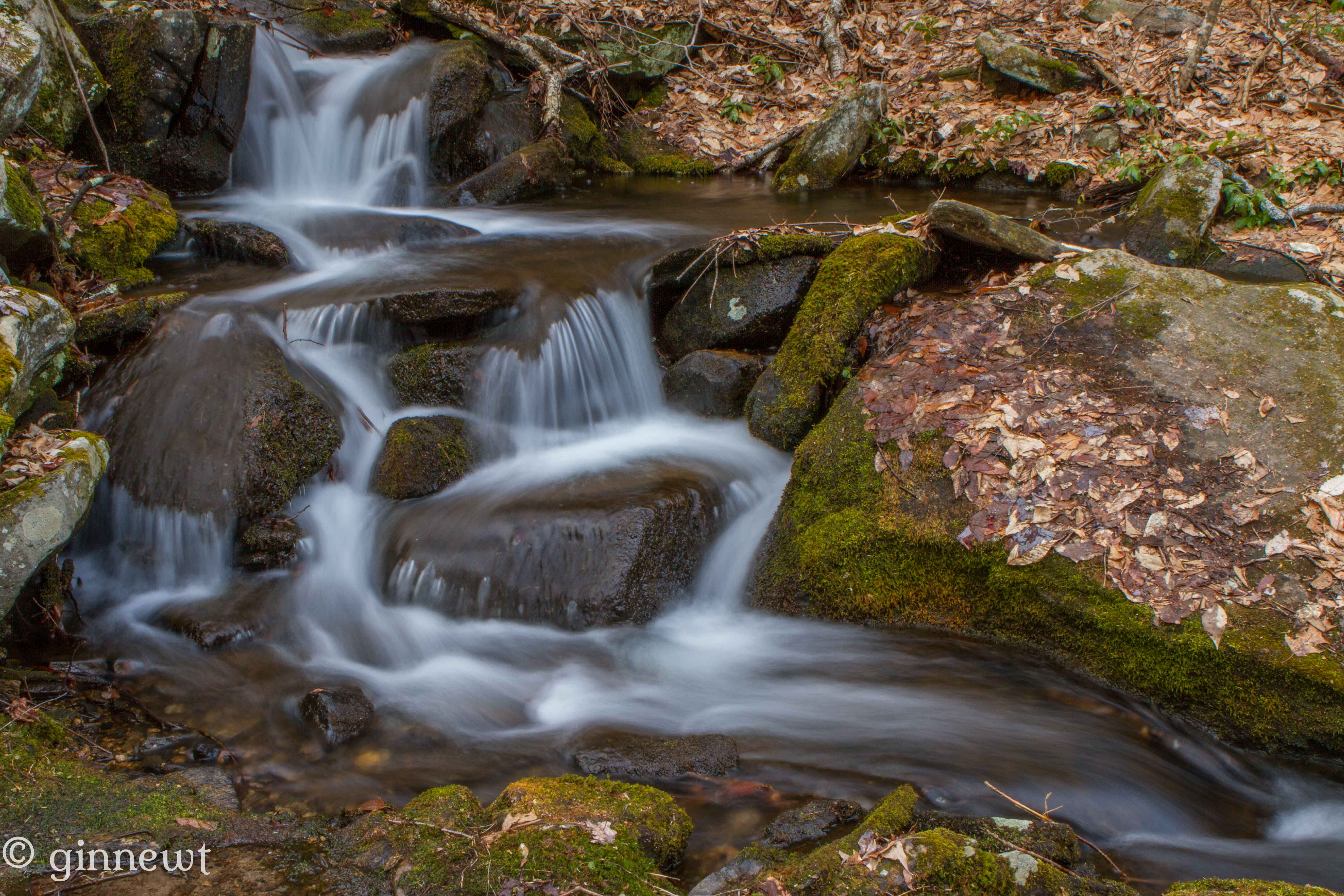
Briggs Brook Falls
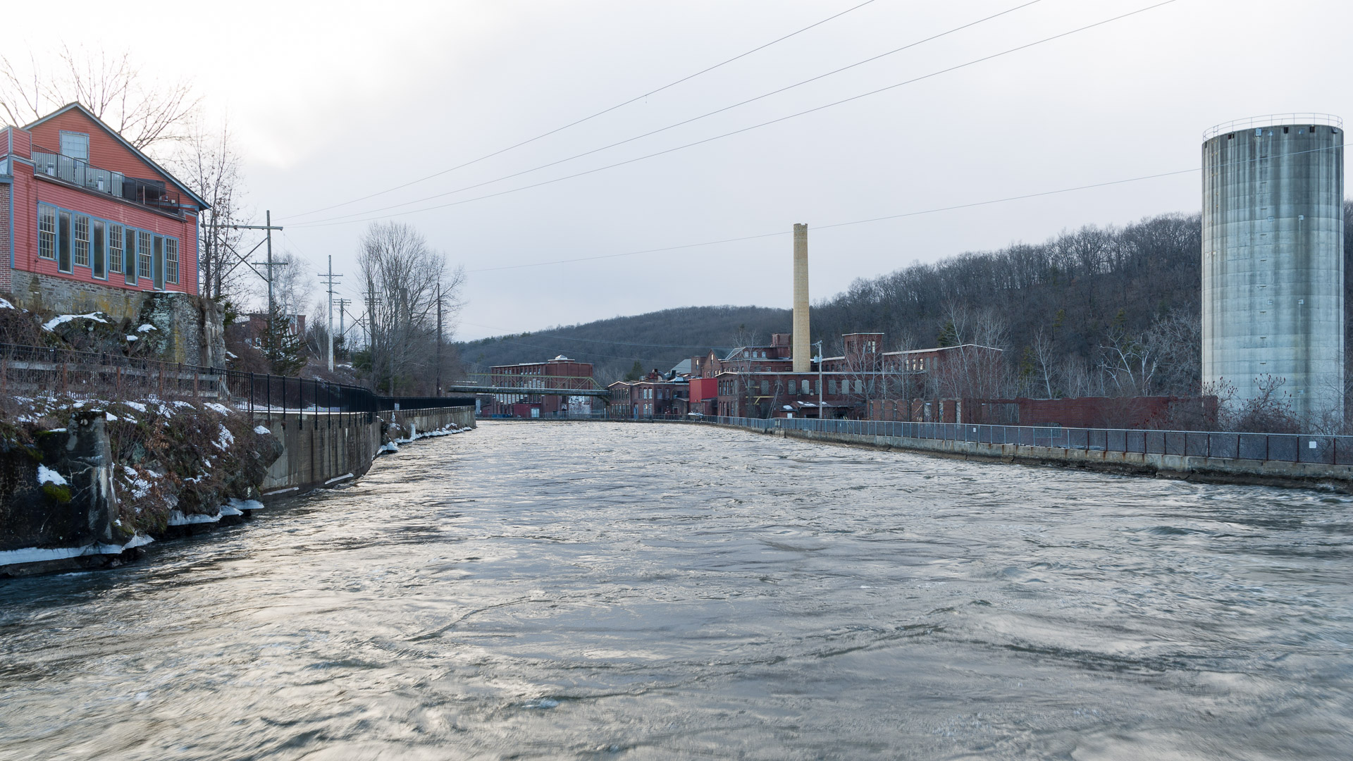
Hydro Canal
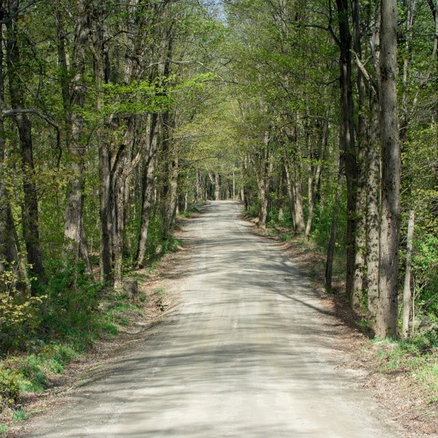
#adventureahead #newchapter #vtshots #dirtroads #spring #vermontshots my last day at @marlborocollege

Trailside Cascade
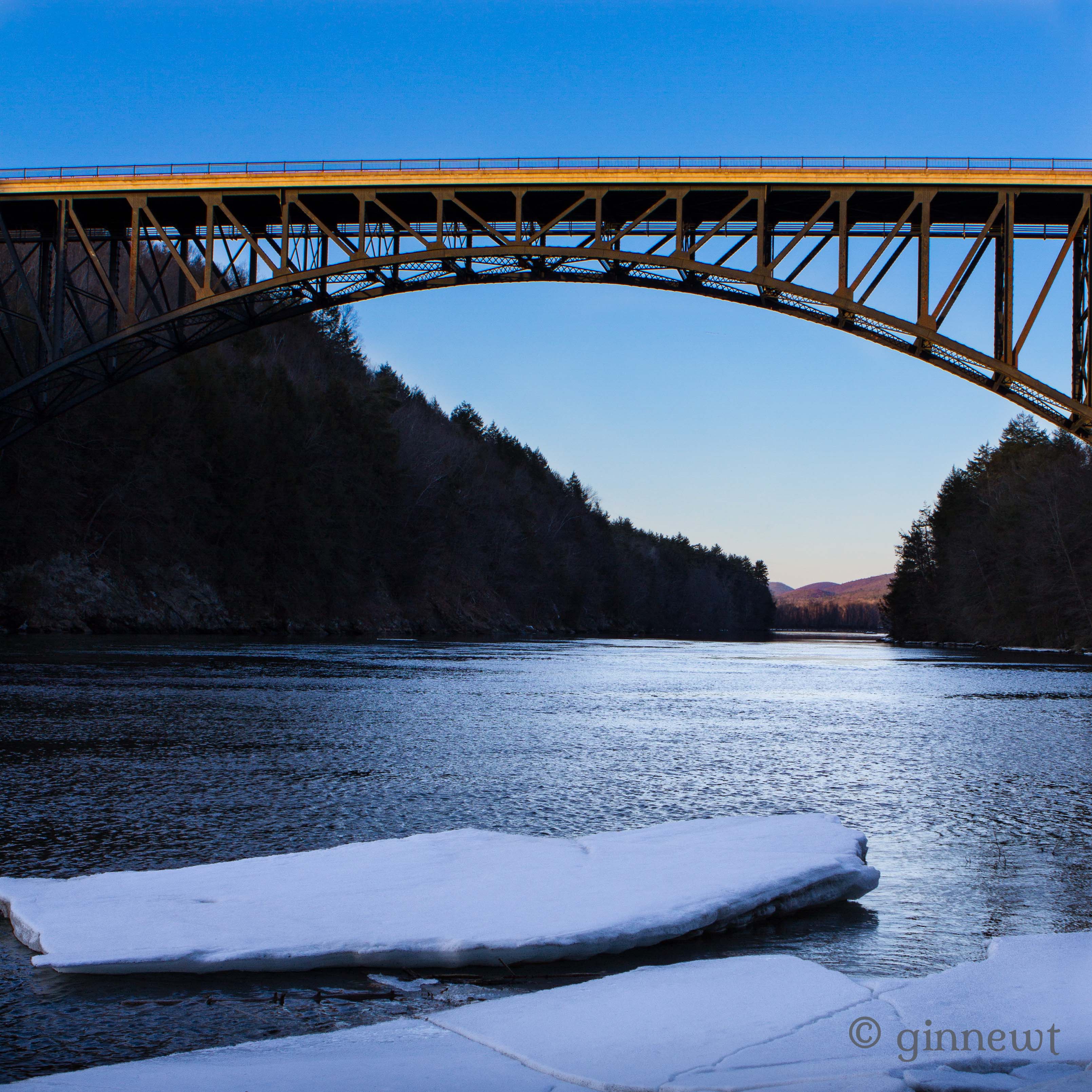
French King Bridge & an Ice Flow
One Day!

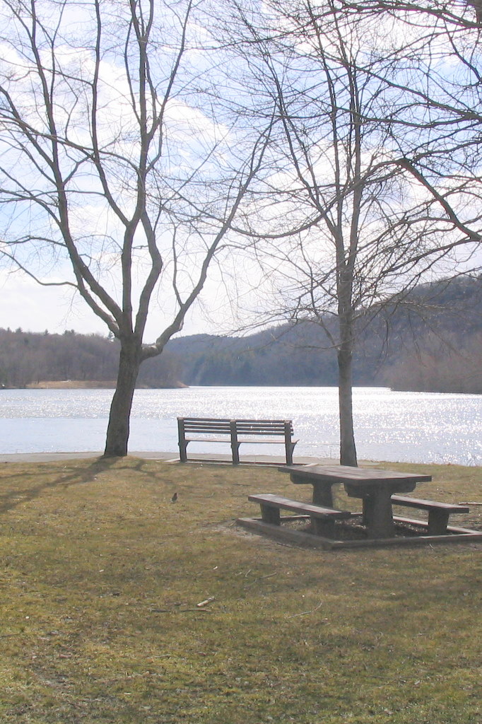
northfield boat launch2
Hermit's Minions

South Green River Rd - Leydon, MA
Oh, No!
Topographic Map of Gill, MA, USA
Find elevation by address:

Places in Gill, MA, USA:
Places near Gill, MA, USA:
398 Main Rd
280 Mountain Rd
70 Munns Ferry Rd, Gill, MA, USA
West Gill Road
534 Millers Falls Rd
534 Millers Falls Rd
535 Ma-63
142 W Gill Rd
138 W Gill Rd
497 Lampblack Rd
82 Industrial Blvd
Bernardston
19 Chapin Rd
Norman Circle
Millers Falls
Turners Falls
114 Lovers Ln
40 Canada Hill Rd
61 Barton Heights
Northfield
Recent Searches:
- Elevation of Groblershoop, South Africa
- Elevation of Power Generation Enterprises | Industrial Diesel Generators, Oak Ave, Canyon Country, CA, USA
- Elevation of Chesaw Rd, Oroville, WA, USA
- Elevation of N, Mt Pleasant, UT, USA
- Elevation of 6 Rue Jules Ferry, Beausoleil, France
- Elevation of Sattva Horizon, 4JC6+G9P, Vinayak Nagar, Kattigenahalli, Bengaluru, Karnataka, India
- Elevation of Great Brook Sports, Gold Star Hwy, Groton, CT, USA
- Elevation of 10 Mountain Laurels Dr, Nashua, NH, USA
- Elevation of 16 Gilboa Ln, Nashua, NH, USA
- Elevation of Laurel Rd, Townsend, TN, USA