Elevation of 10th St, King George, VA, USA
Location: United States > Virginia > King George County > Shiloh > King George >
Longitude: -77.236655
Latitude: 38.3280747
Elevation: 12m / 39feet
Barometric Pressure: 101KPa
Elevation Map:
Satellite Map:
Related Photos:

Sunset over Mallows Bay

Berry Plain, circa 1720, Dogue, VA

Berry Plain, circa 1720, Dogue, VA

View of Little Ferry Road, King George County, VA

abandoned pier at sunset - black & white infrared

The Third Lederer Expedition Historical Highway Marker; Caroline County

WW_Potomac River Through Trees_TS

WW_Aquia Creek Panoramic View_TMS

WW_Potomac Launch Panoramic View_TMS

WW_Cloudy Skies Over The Potomace_TS

WW_Aquia Creek Launch Panoramic_TMS

George I's View 291 Years Later

Aerial View of Our House - Google Earth

Ghost Ships in Mallows Bay

2016 04-05 3:38PM--CSX ES40DC-5302 S/B T315, AMTK P42DC-44 N/B 80 Carolinian, Stafford, VA

Willow Hill, King George, Virginia

Ice on the Potomac

Indian Head 100 Potomac View

A Prize Tooth

The Accomac - Mallows Bay

Some of the Best
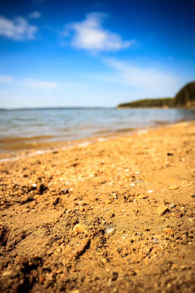
Sand Pebbles

Berry Warf Road, King George County, VA

Winding Farm Road at Twilight
Block on Mill Flats Rd, King George County, VA

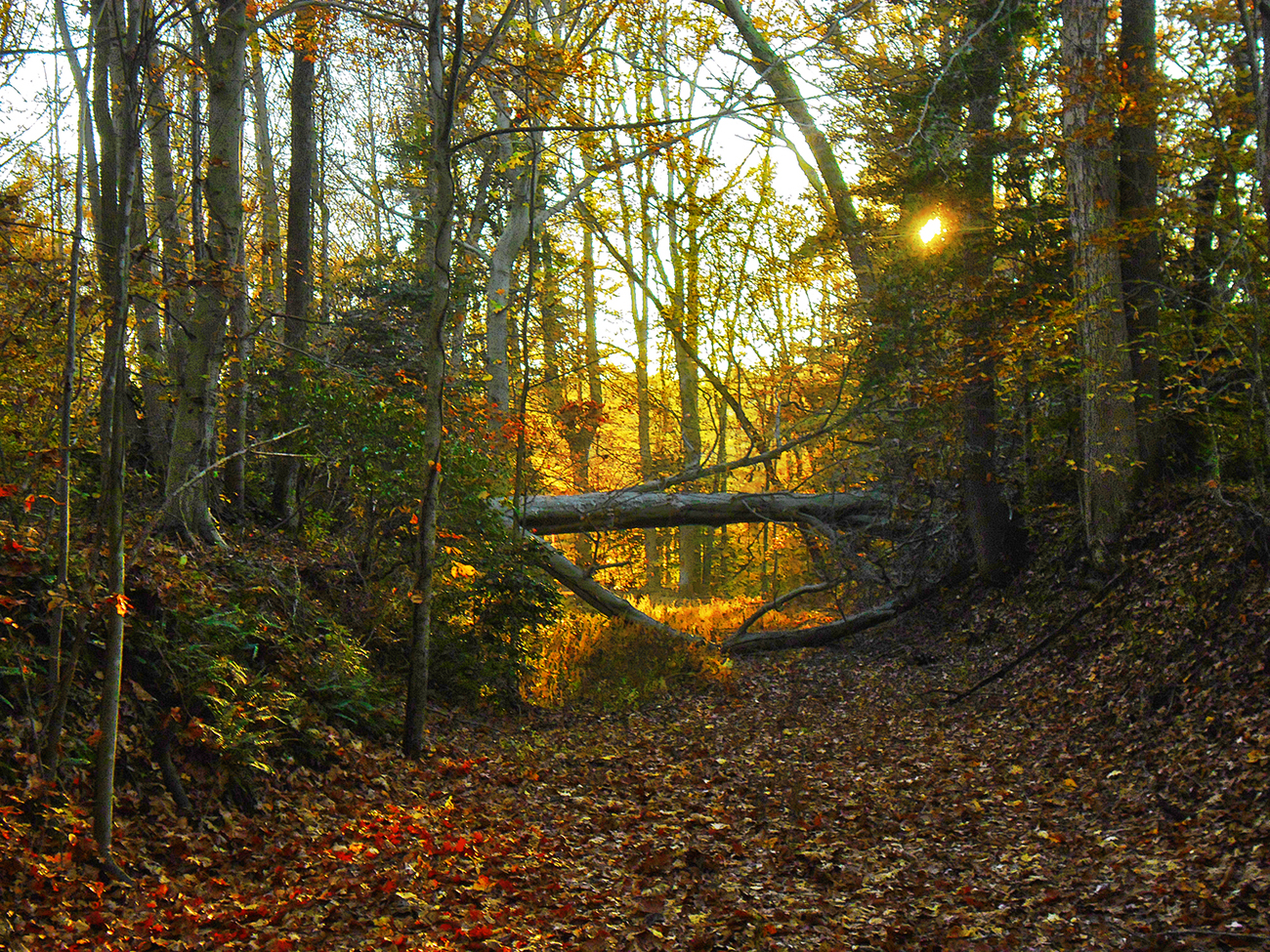
fairy tale forest

Kitchen Point Road, King George County, VA

vineyard, Virginia

DRHT - Fall color

That nature pic of the day...

Sunset Forest Scene

setting sun blazing against silver buildings...

Storm clouds

Green Field

Crow's Nest Natural Area Preserve in Stafford County, Va.

Stafford County, Va.

MARMION Highway Marker, King George County, Virginia
Topographic Map of 10th St, King George, VA, USA
Find elevation by address:

Places near 10th St, King George, VA, USA:
Marlborough Point Rd, Stafford, VA, USA
James Monroe
Maryland Point Rd, Nanjemoy, MD, USA
Nanjemoy
65 Brooke Crest Ln
Nanjemoy
2010 Liverpool Point Rd
158 Waller Point Dr
6613 St Pauls Rd
Liverpool Point Rd, Nanjemoy, MD, USA
5499 Windsor Dr
5499 Windsor Dr
Gilroy Rd, Nanjemoy, MD, USA
Blossom Point Research Field
4417 Pamlico Dr
Owens Drive
8475 Durham Church Rd
4260 Alexis Ln
Alexis Lane
4235 Alexis Ln
Recent Searches:
- Elevation of Leguwa, Nepal
- Elevation of County Rd, Enterprise, AL, USA
- Elevation of Kolchuginsky District, Vladimir Oblast, Russia
- Elevation of Shustino, Vladimir Oblast, Russia
- Elevation of Lampiasi St, Sarasota, FL, USA
- Elevation of Elwyn Dr, Roanoke Rapids, NC, USA
- Elevation of Congressional Dr, Stevensville, MD, USA
- Elevation of Bellview Rd, McLean, VA, USA
- Elevation of Stage Island Rd, Chatham, MA, USA
- Elevation of Shibuya Scramble Crossing, 21 Udagawacho, Shibuya City, Tokyo -, Japan