Elevation of Pamlico Dr, King George, VA, USA

Location: United States > Virginia > King George County > Dahlgren > Dahlgren >

Longitude: -77.072650

Latitude: 38.3472291

Elevation: 8m / 26feet

Barometric Pressure: 101KPa

Elevation Map:

elevation map of Pamlico Dr, King George, VA, USA

Satellite Map:

Satellite map of Pamlico Dr, King George, VA, USA

Related Photos:

potomacriver colonialbeach beachstreet panorama clouds
Scenic Potomac River
colonialbeach colonialbeachvirginia colonialbeachmunicipalpier municipalpier beach beachfront northernneck virginia va boardwalk colonialbeachva resorttown potomacriver westmorelandcountyva vacation town vacationers townpier
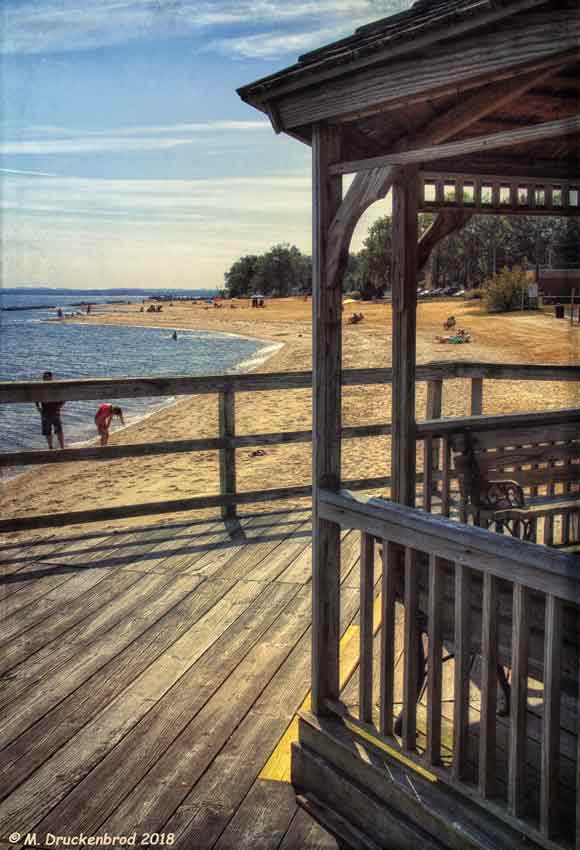
A View of the Beach from the Colonial Beach Municipal Pier
road autumn trees fall beautiful forest landscape virginia woodlands outdoor fallcolors foliage va serene kinggeorgecounty
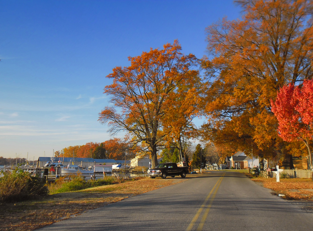
View of Little Ferry Road, King George County, VA
blue winter white cold ice beach water virginia kinggeorgecounty caledonstatepark
Ice on the Potomac
usa butterfly insect virginia va papilio spicebushswallowtail papiliotroilus kinggeorgecounty taxonomy:common=spicebushswallowtail taxonomy:binomial=papiliotroilus
Spicebush Swallowtail, Virginia
grave geotagged headstone tombstone maryland gravestone stignatius gravemarker geo:lat=38465567 geo:lon=77024422
A plot with a view
beach river virginia potomac colonialbeach
Beach Views - Colonial Beach
beach river virginia potomac colonialbeach
Beach Views - Colonial Beach
airport αεροδρόμιο internationalairport 공항 aeropuerto аэропорт aéroport 空港 flughafen maesawyr 飛機 비행기 avión самолет aereo vliegtuig 飛行機 avion flugzeug awyren aircraft airliner αεροπλάνο airplane plane jet altitude flight fly aerial aério aéreo windowview valentines iphone5 iphone takenwithaniphone telephone cellphone cell phone gps iphone5capture iphonecapture backcamera mobilephone appleiphone apple charles maryland vacation vacanze holiday midatlantic windowseat coastline
Went to see my friend Savannah on #Valentines
square squareformat iphoneography instagramapp uploaded:by=instagram foursquare:venue=4f91b94de4b0ee4cb2a4ab5d
Bridge view
bridges 2005 virginia maryland us301 rivers potomacriver fog 500views 1000views 1500views
US 301 Bridge over the Potomac
kinggeorgecountyvirginia singlefamilyhomessubdivision kingshighwayroute3 kinggeorgevirginia22485 williowhillsubdivision westbrookehomes homesneardahlgren
Willow Hill, King George, Virginia
trees tree river landscape md waterfront maryland rivers potomacriver indianhead100 indianheadcentury
Indian Head 100 Potomac View
tree geotagged dead virginia natural eagle bald area eagles caledon 80400mmf4556dvr geo:lat=38352914 geo:lon=77143255 dwoodphotography dwoodphotographycom
...the eagle is landing...
nature birds wildlife raptor chicks osprey birdsofprey pandionhaliaetus
Osprey Nest 1
winter sunset sky beautiful clouds landscape pier view potomac potomacriver kinggeorgecounty
Sunset Over The Potomac at Fairview Beach
us301bridgemdtova
US301 bridge, Md to Va
church graveyard catholic scenic jesuit charlescounty southernmaryland chapelpoint
St. Ignatius Catholic Church
river view maryland southern gravestones charlescounty porttobacco chapelpoint
View from St. Ignatius
ilvsp2019 caledonstatepark views animals beach river
CA Best Friends
blackandwhite mike virginia va kinggeorgecounty mikeno mdpd2011 mdpd201101
George I's View 291 Years Later
potomac river warm sun leaves reeds exquisitesunsets sunset trees evening calm
Sunset Forest Scene
road autumn trees fall beautiful forest landscape virginia woodlands outdoor fallcolors foliage va serene kinggeorgecounty
Berry Warf Road, King George County, VA
road autumn trees fall beautiful forest landscape virginia woodlands outdoor fallcolors foliage va serene kinggeorgecounty
Block on Mill Flats Rd, King George County, VA
kinggeorgecounty virginia va landscape autumn farm field usa
Green Field
potomacatus301va
"60F and sunny" on the Potomac
morning dawn pier calm potomacriver civiltwilight colonialbeach skysunrise
Colonial Beach Pier
bridge beautiful landscape virginia birdhouse maryland va potomac powerplant potomacriver dahlgren kinggeorgecounty waysidepark harrywnice
Governor Harry W. Nice Memorial Bridge - Route 301
road autumn trees fall beautiful forest landscape virginia woodlands outdoor fallcolors foliage va serene kinggeorgecounty
Kitchen Point Road, King George County, VA
autumn house color fall beautiful landscape boats virginia us community bluesky va potomac potomacriver 2012 westmorelandcounty
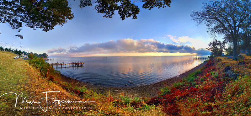
Fall Color at Monroe Bay
bridge light colour twilight evening iron structure steel pentax km pentaxaf250mmlens 50mm prime primelens kmount pentaxart stuckonthebridge river potomacriver landscapedreams
Twilight Bridge
old rot landscape maryland abandonedhouse
Road Trip - Maryland
cold rainy day at the beach
night sunrise lowlight nikon meetup explore feb 2015 nightandlowlight fastapp69d5300
Dey Broke, Can Ya Fixum
longexposure bridge sunset plant color river power potomac powerplant mikelennett
Harry Nice Bridge and Power plant
kinggeorgecounty virginia va usa rt301 harrynicebridge potomacriver
Harry Nice Bridge
shadow beach virginia colonialbeach
Beach Scene
night sunrise lowlight nikon meetup feb nightandlowlight d5300 2015fastapp69d5300
Maryland's All Aglow!
kinggeorgecounty virginia va usa rt301 harrynicebridge potomacriver
Harry Nice Bridge