Elevation of Blossom Point Research Field, Blossom Point Rd, Welcome, MD, USA

Location: United States > Maryland > Charles County > 2, Hill Top > Welcome >

Longitude: -77.104889

Latitude: 38.4094853

Elevation: 5m / 16feet

Barometric Pressure: 101KPa

Elevation Map:

elevation map of Blossom Point Research Field, Blossom Point Rd, Welcome, MD, USA

Satellite Map:

Satellite map of Blossom Point Research Field, Blossom Point Rd, Welcome, MD, USA

Related Photos:

photosbymch landscape sunset river bay pier shipwreck ghostfleet mallowsbay potomacriver maryland usa 2017 canon 5dmkiv sky clouds summer
Sunset over Mallows Bay
usa maryland potomacriver ghostships scuttled mallowsbay 0000fftextalignleftview
Ghost Ships in Mallows Bay
road autumn trees fall beautiful forest landscape virginia woodlands outdoor fallcolors foliage va serene kinggeorgecounty
View of Little Ferry Road, King George County, VA
5x7 calotype altprocess pelegry eastmanviewno1
Port Tobacco Courthouse
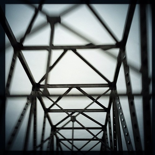
square squareformat iphoneography instagramapp uploaded:by=instagram foursquare:venue=4f91b94de4b0ee4cb2a4ab5d
Bridge view
bridges 2005 virginia maryland us301 rivers potomacriver fog 500views 1000views 1500views 2000views
US 301 Bridge over the Potomac
blue winter white cold ice beach water virginia kinggeorgecounty caledonstatepark
Ice on the Potomac
trees tree river landscape md waterfront maryland rivers potomacriver indianhead100 indianheadcentury
Indian Head 100 Potomac View
tooth river fossil shark maryland potomac charlescounty pursestatepark
A Prize Tooth
wood blackandwhite bw slr abandoned film monochrome analog 35mm boat decay maryland olympus shipwreck potomac hp5 om ilford charlescounty mallowsbay
The Accomac - Mallows Bay
tooth river fossil shark maryland potomac charlescounty pursestatepark
Some of the Best
tree geotagged dead virginia natural eagle bald area eagles caledon 80400mmf4556dvr geo:lat=38352914 geo:lon=77143255 dwoodphotography dwoodphotographycom
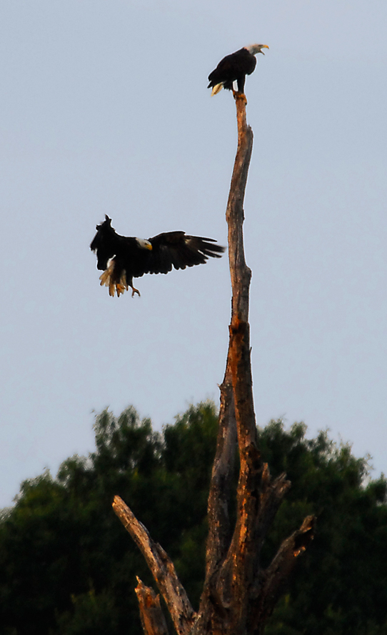
...the eagle is landing...
ship wreck potomacriver ghostfleet mallowsbay
Opened Hull
usa butterfly insect virginia va papilio spicebushswallowtail papiliotroilus kinggeorgecounty taxonomy:common=spicebushswallowtail taxonomy:binomial=papiliotroilus
Spicebush Swallowtail, Virginia
winter sunset sky beautiful clouds landscape pier view potomac potomacriver kinggeorgecounty
Sunset Over The Potomac at Fairview Beach
us301bridgemdtova
US301 bridge, Md to Va
church graveyard catholic scenic jesuit charlescounty southernmaryland chapelpoint
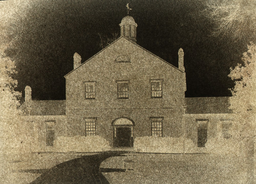
St. Ignatius Catholic Church
cemetery maryland charlescounty porttobacco nationalregister nationalregisterofhistoricplaces
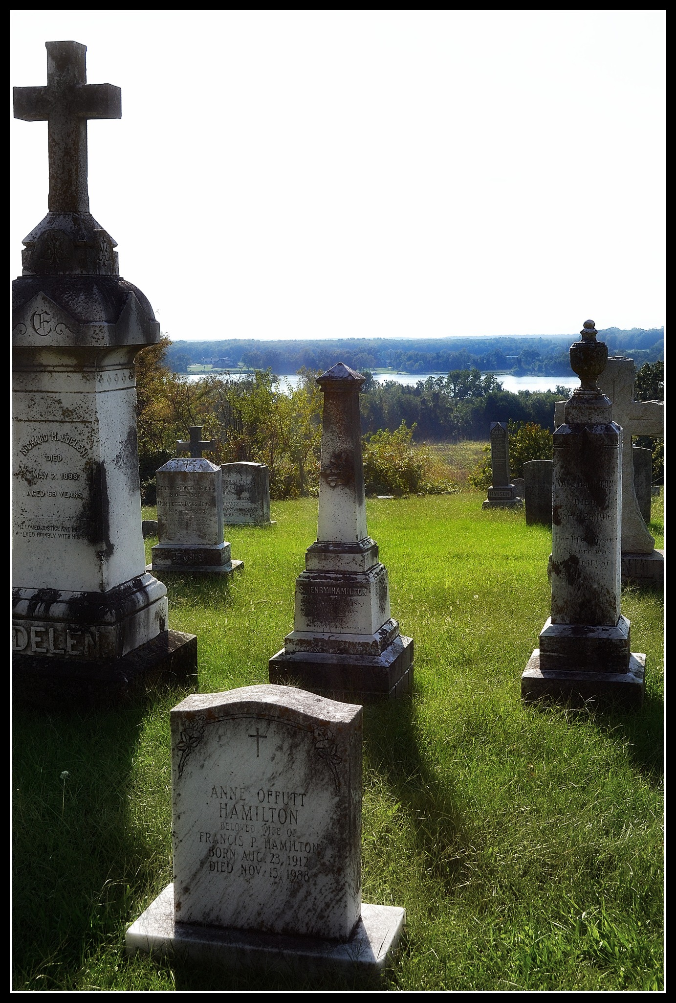
view from St Thomas Manor- Port Tobacco MD
river view maryland southern gravestones charlescounty porttobacco chapelpoint
View from St. Ignatius
ilvsp2019 caledonstatepark views animals beach river
CA Best Friends
fog lomo iphone
Fog in my Head
bridge light colour twilight evening iron structure steel pentax km pentaxaf250mmlens 50mm prime primelens kmount pentaxart stuckonthebridge river potomacriver landscapedreams
Twilight Bridge
longexposure bridge sunset plant color river power potomac powerplant mikelennett
Harry Nice Bridge and Power plant
road trees portrait sky woman cute girl beautiful face grass lady female rural photoshop mouth landscape outdoors nose model eyes head farm sony country maryland dirt adobe alpha 2010 lightroom indianhead a700 dslra700 gregoryhughdavidson ghdphotographydesign
London Collinson
Crossing Potomac River into Maryland, U.S. Route 301, Newburg, Maryland
bridge beautiful landscape virginia birdhouse maryland va potomac powerplant potomacriver dahlgren kinggeorgecounty waysidepark harrywnice
Governor Harry W. Nice Memorial Bridge - Route 301
portrait girl female photoshop sunrise landscape model farm sony country maryland adobe alpha hdr 2010 lightroom indianhead photomatix a700 dslra700 gregoryhughdavidson ghdphotographydesign
Open Fields in the Morning
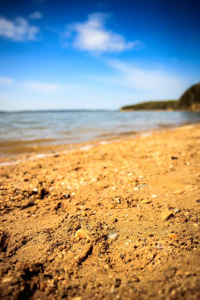
nanjemoy maryland unitedstates us pursestatepark md beach potomac potomacriver sand pebbles water tide surf skies clouds bokeh landscape outdoors nature outside sunny rock
Sand Pebbles
old rot landscape maryland abandonedhouse
Road Trip - Maryland
photooftheday picoftheday uploaded:by=flickstagram adventurethatislife instagram:photo=113307514686506579538433534 instagram:venuename=caledonnaturalarea instagram:venue=5970119 seekthetrails
That nature pic of the day...
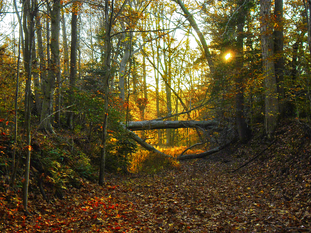
potomac river warm sun leaves reeds exquisitesunsets sunset trees evening calm
Sunset Forest Scene
kinggeorgecounty virginia va usa rt301 harrynicebridge potomacriver
Harry Nice Bridge
road autumn trees fall beautiful forest landscape virginia woodlands outdoor fallcolors foliage va serene kinggeorgecounty
Berry Warf Road, King George County, VA
kinggeorgecounty virginia va usa rt301 harrynicebridge potomacriver
Harry Nice Bridge
road autumn trees fall beautiful forest landscape virginia woodlands outdoor fallcolors foliage va serene kinggeorgecounty
Block on Mill Flats Rd, King George County, VA
stormy summersky virginia bookcover darkness gradient weather forebodings menacing sky stormclouds clouds
Storm clouds
Crossing Potomac River into Maryland, U.S. Route 301, Newburg, Maryland
road trees red portrait sky woman cute london girl beautiful face grass lady female rural photoshop mouth landscape outdoors nose model eyes dress head farm sony country maryland dirt adobe alpha 2010 lightroom indianhead collinson a700 dslra700 gregoryhughdavidson ghdphotographydesign
London Collinson
unitedstates maryland environment charlescounty geocity geo:country=unitedstates camera:make=canon exif:make=canon geostate exif:lens=ef70200mmf28lusm exif:focallength=200mm exif:aperture=ƒ56 exif:isospeed=400 camera:model=canoneos5dmarkiv exif:model=canoneos5dmarkiv md aerial transportation nonprofits southwings
Charles County, Md.