Elevation of Maryland Point Rd, Nanjemoy, MD, USA
Location: United States > Maryland > Charles County > Nanjemoy > Nanjemoy >
Longitude: -77.204551
Latitude: 38.398494
Elevation: 25m / 82feet
Barometric Pressure: 101KPa
Elevation Map:
Satellite Map:
Related Photos:
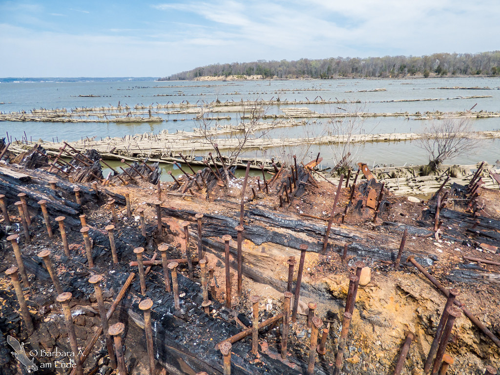
Ghost Ships in Mallows Bay
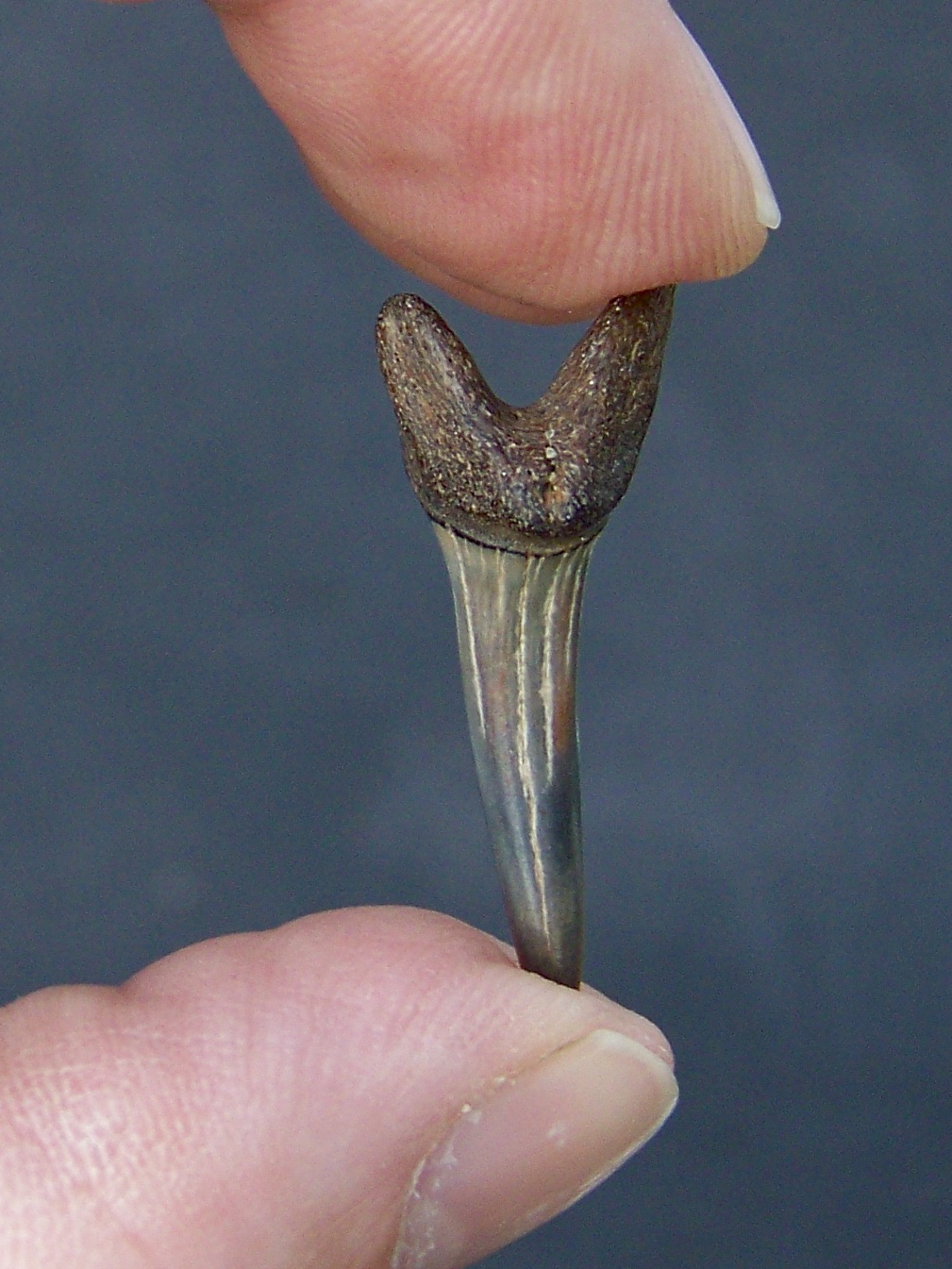
A Prize Tooth

Some of the Best
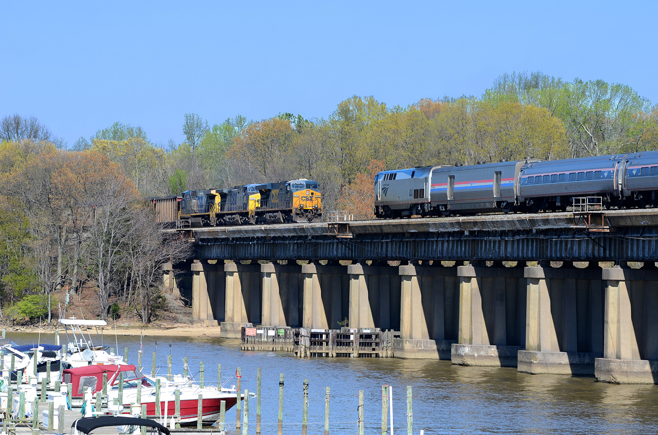
2016 04-05 3:38PM--CSX ES40DC-5302 S/B T315, AMTK P42DC-44 N/B 80 Carolinian, Stafford, VA

Navy Cross Recipients
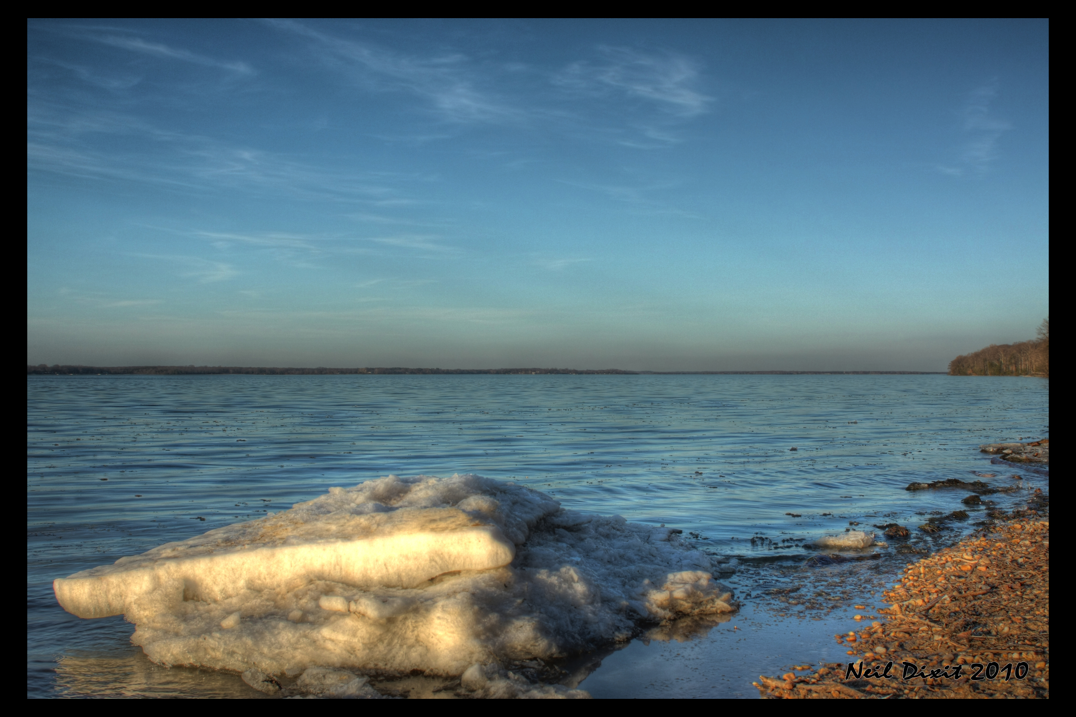
Ice on the Potomac
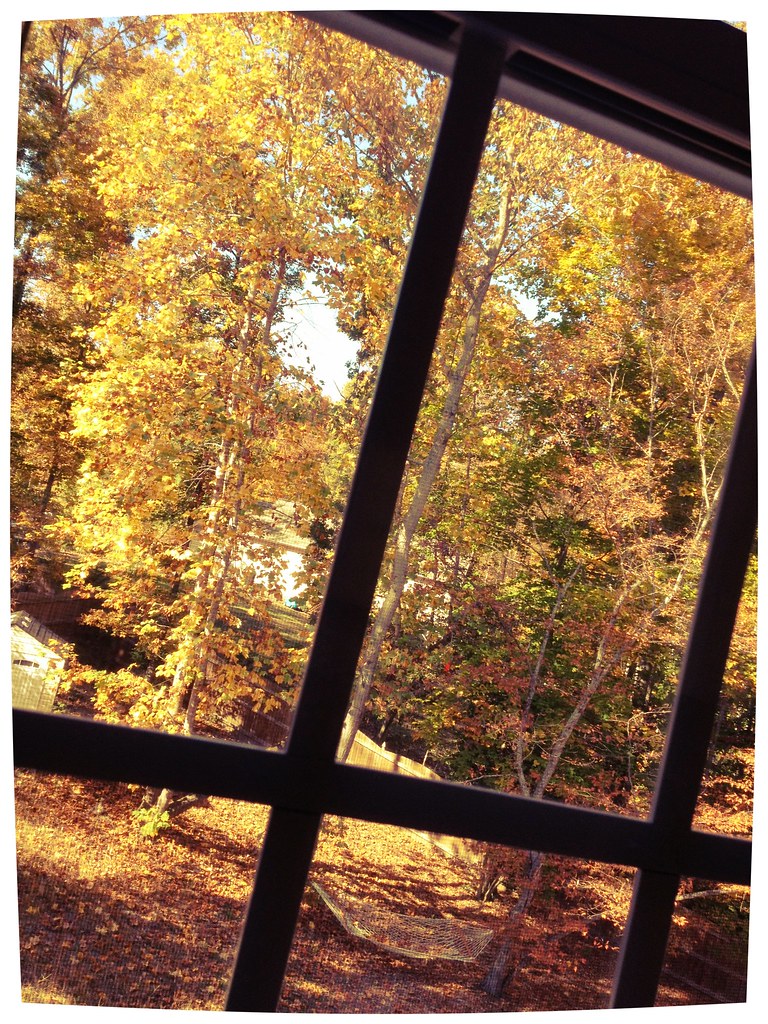
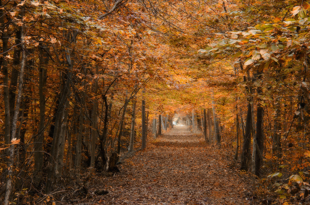
autumnal view

Gasping for Air

abandoned pier at sunset - black & white infrared
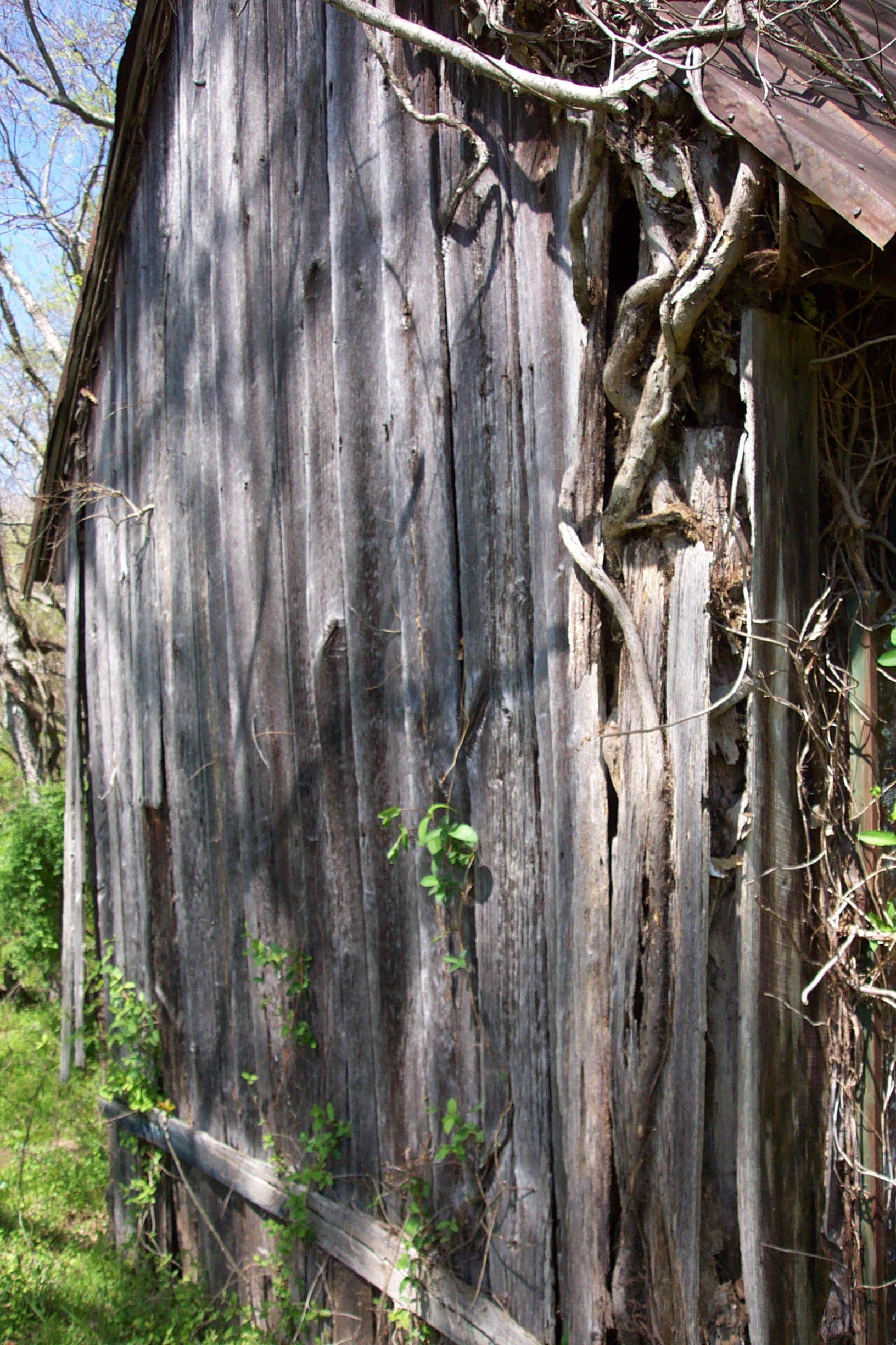
Old Barn at Friendship Farm Park
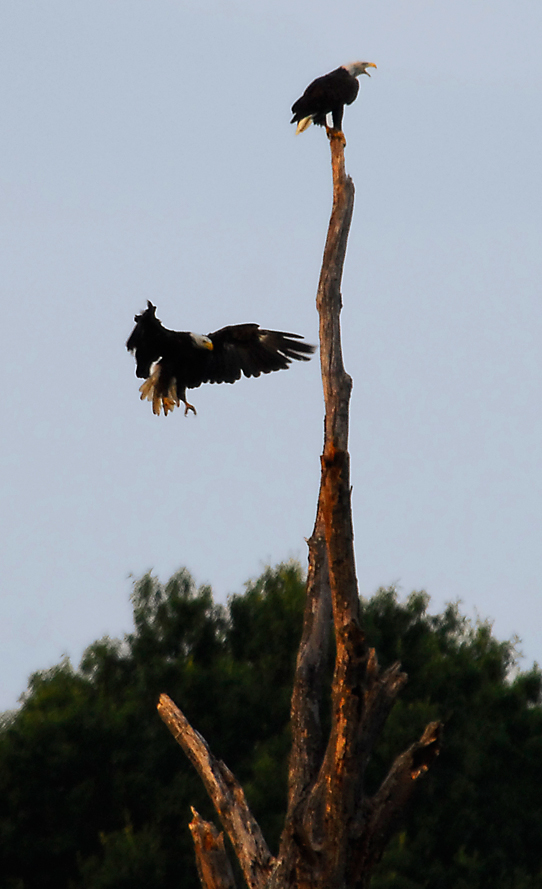
...the eagle is landing...

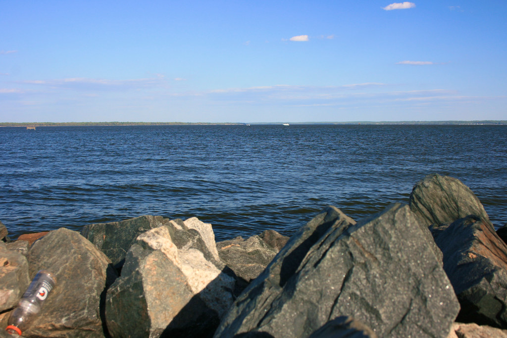
The Accomac - Mallows Bay
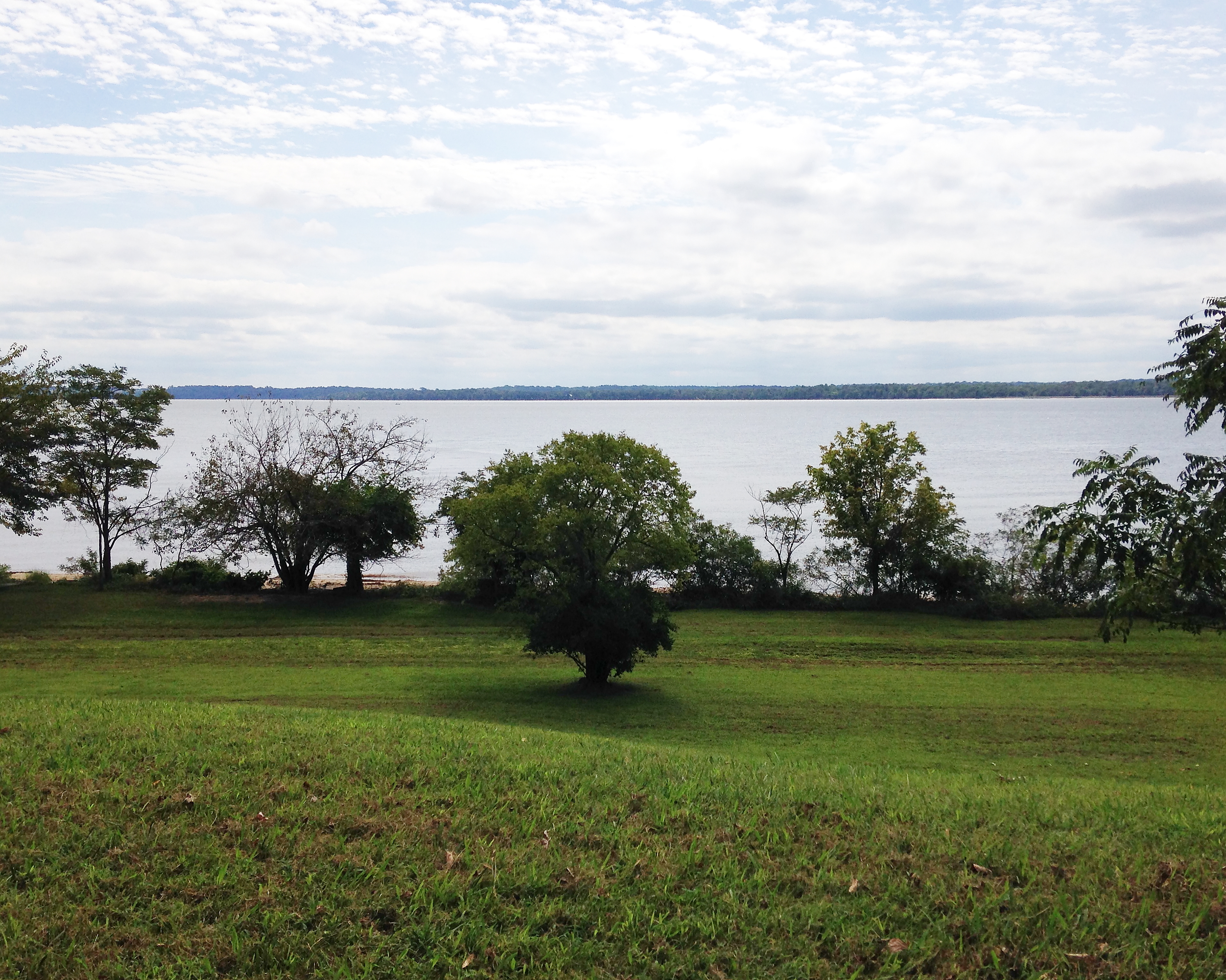
Indian Head 100 Potomac View
George I's View 291 Years Later
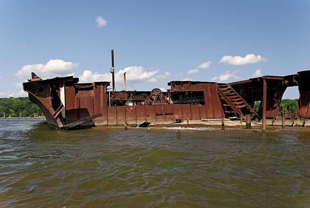
Opened Hull

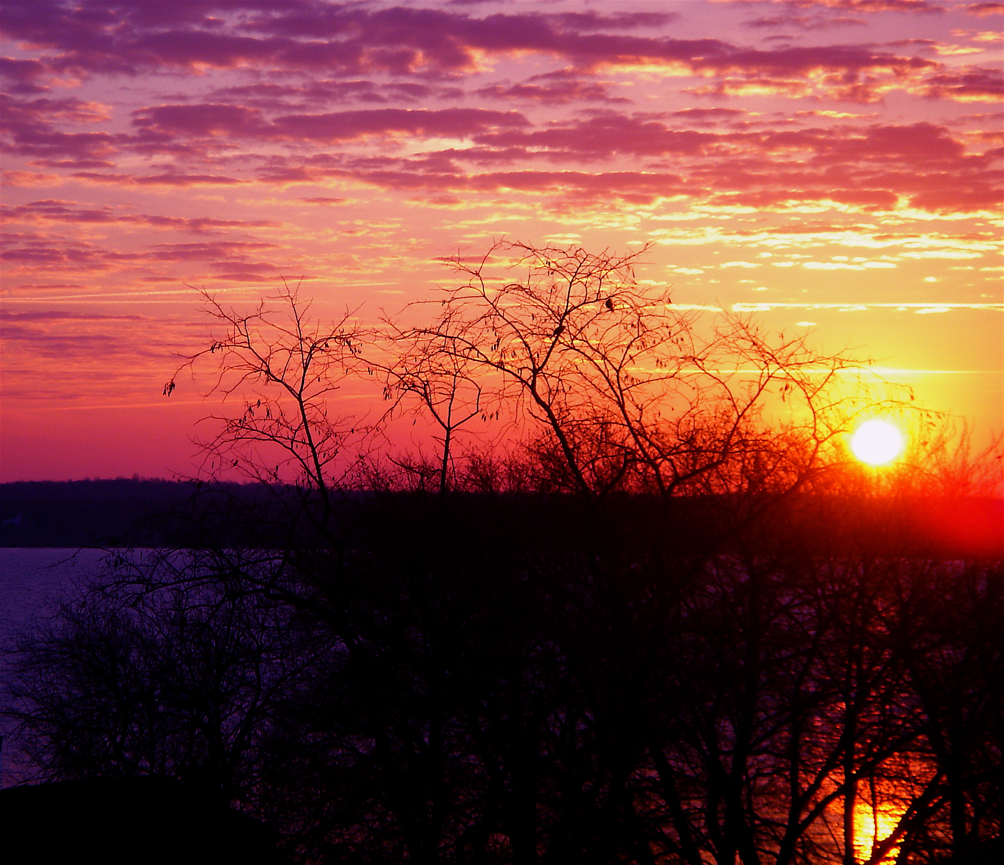
Sunset Over The Potomac at Fairview Beach
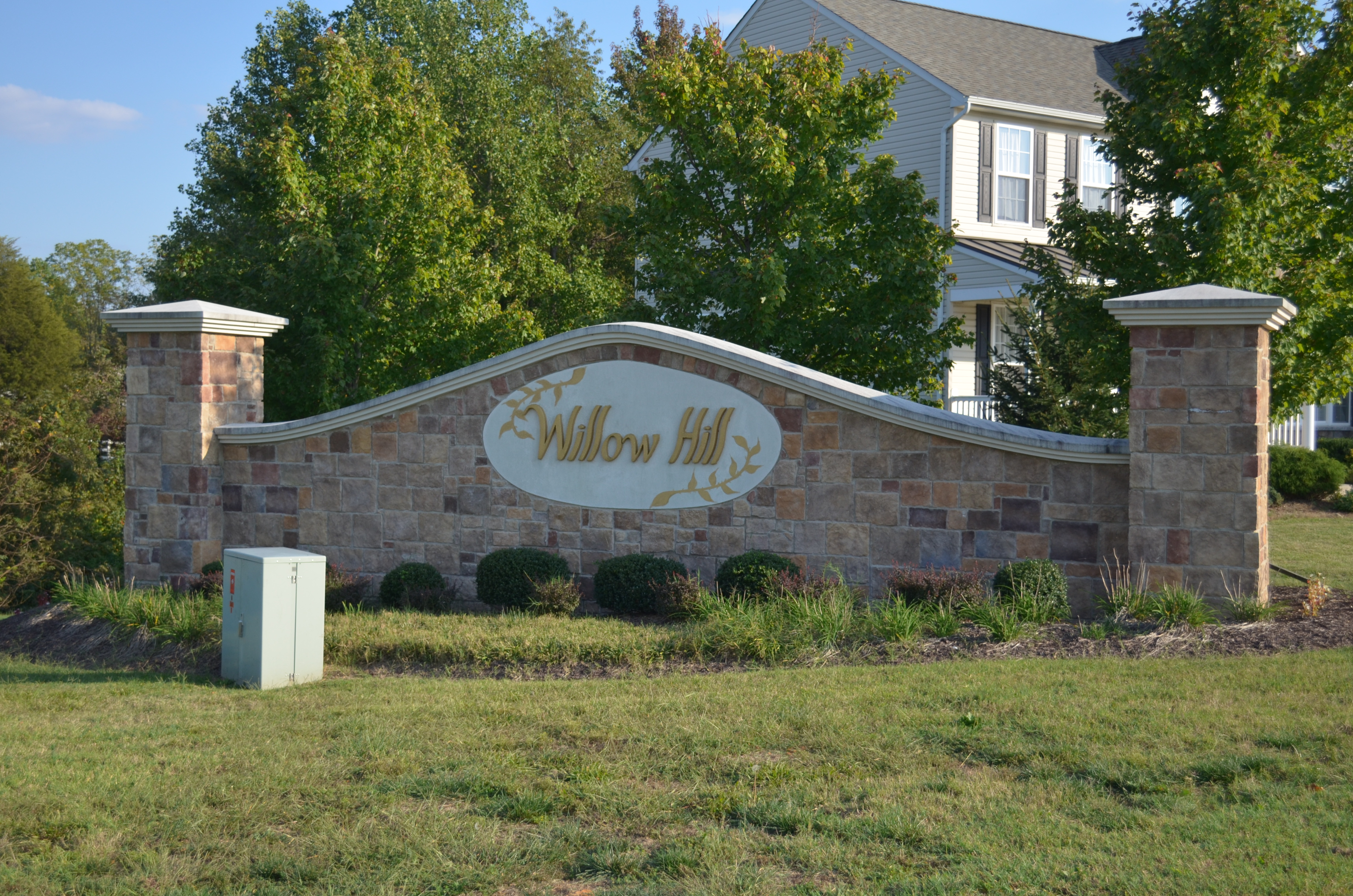
Willow Hill, King George, Virginia
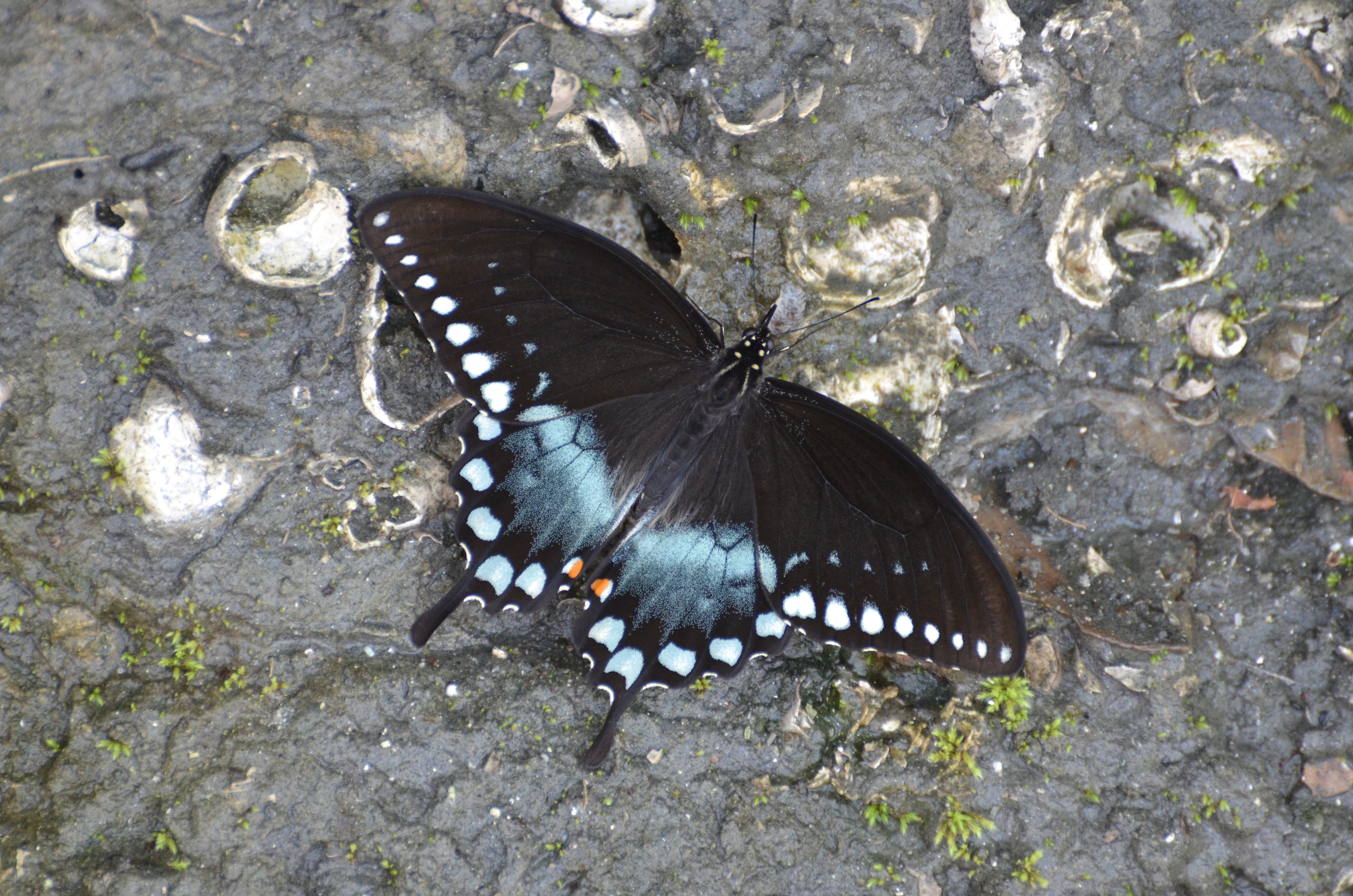
Spicebush Swallowtail, Virginia
Trip to Massachusetts
That nature pic of the day...
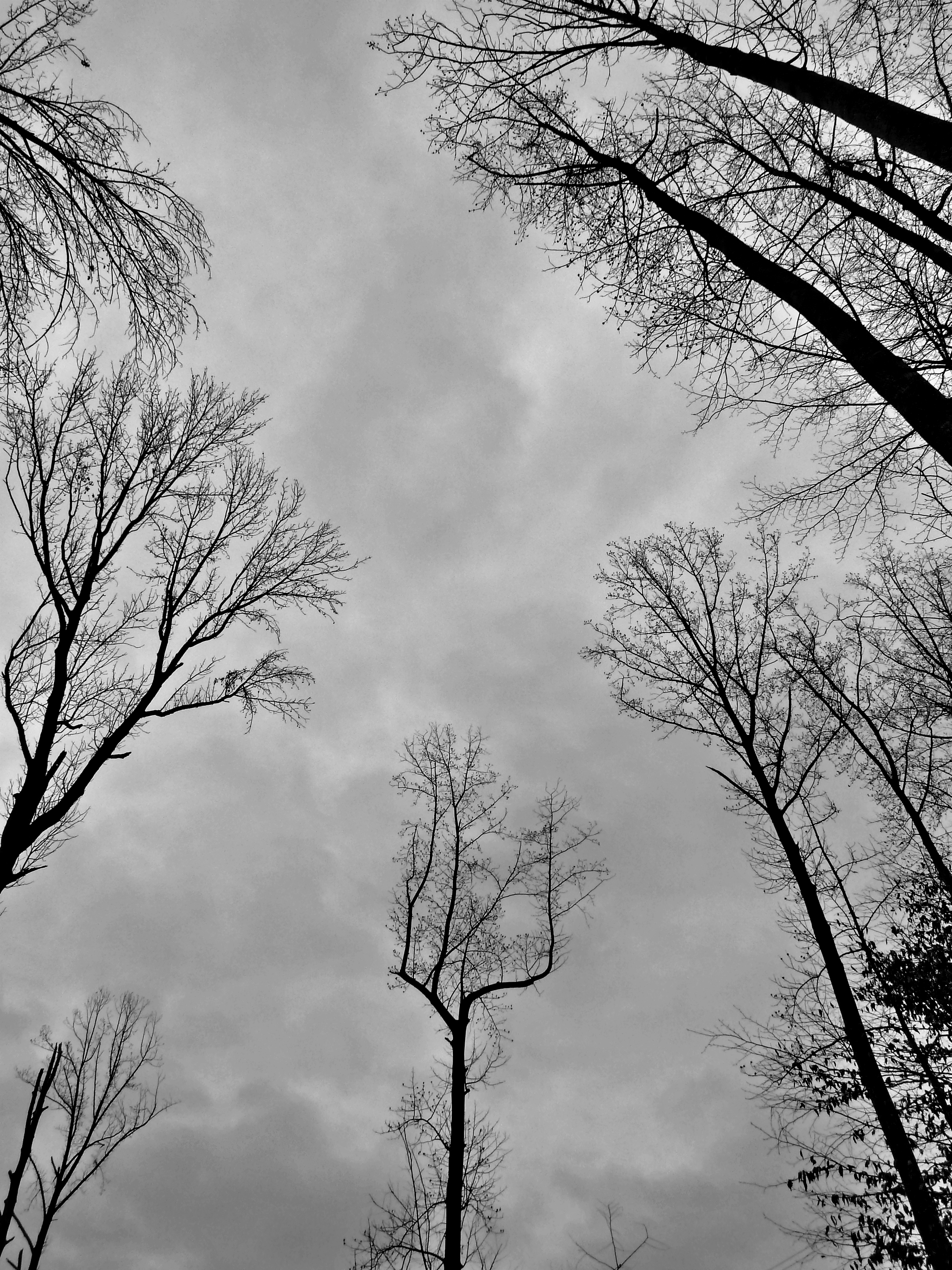
fairy tale forest

Trying to take pictures while #running...
Winding Farm Road at Twilight
Widewater Hunt 2012

Hermit Thrush
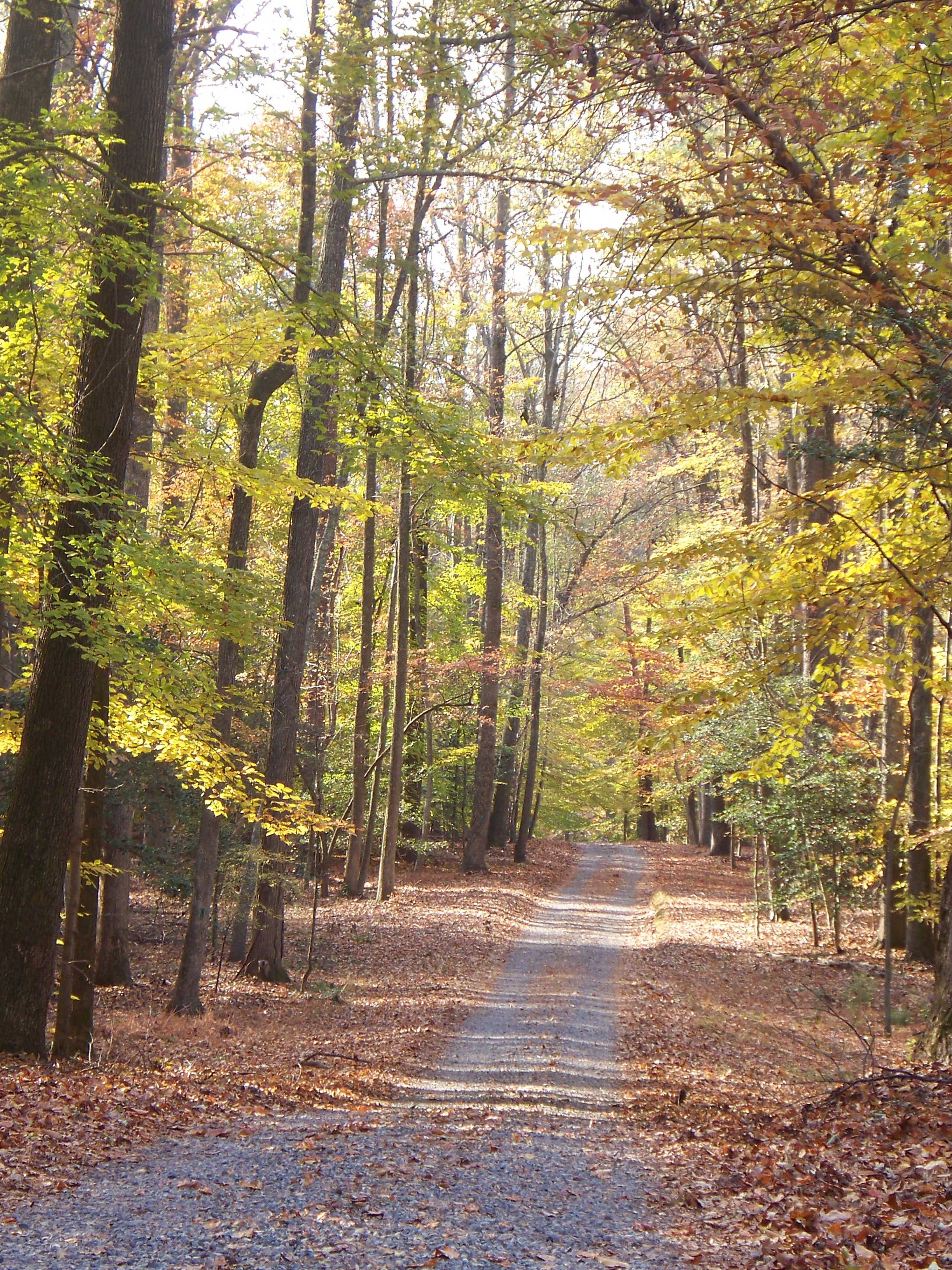
Autumn in Virginia

Summer Morning
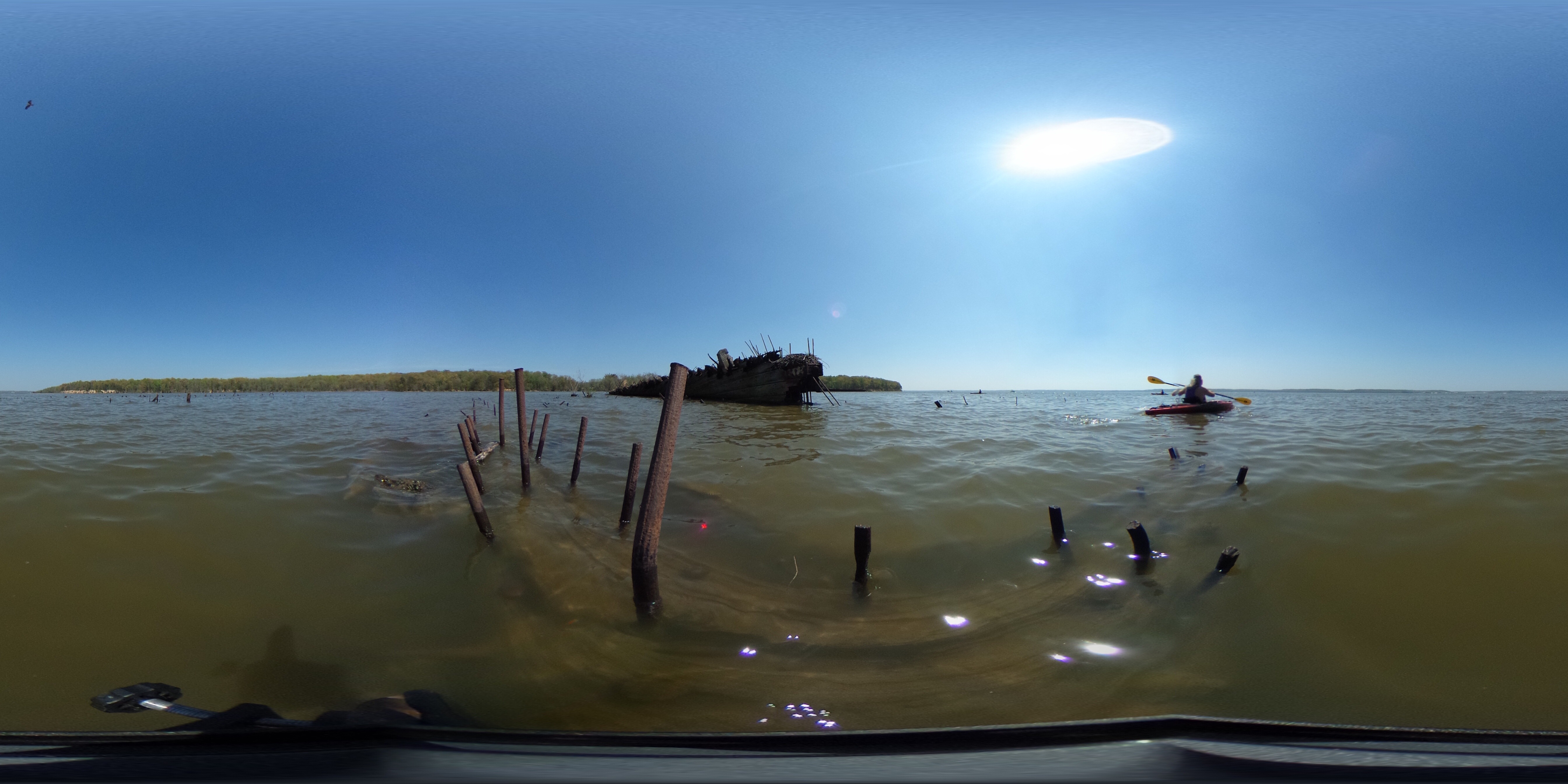
Mallows Bay kayak trip
Fairview Beach - King George County, VA.

Swamp Sparrow

Widewater Hunt 2012
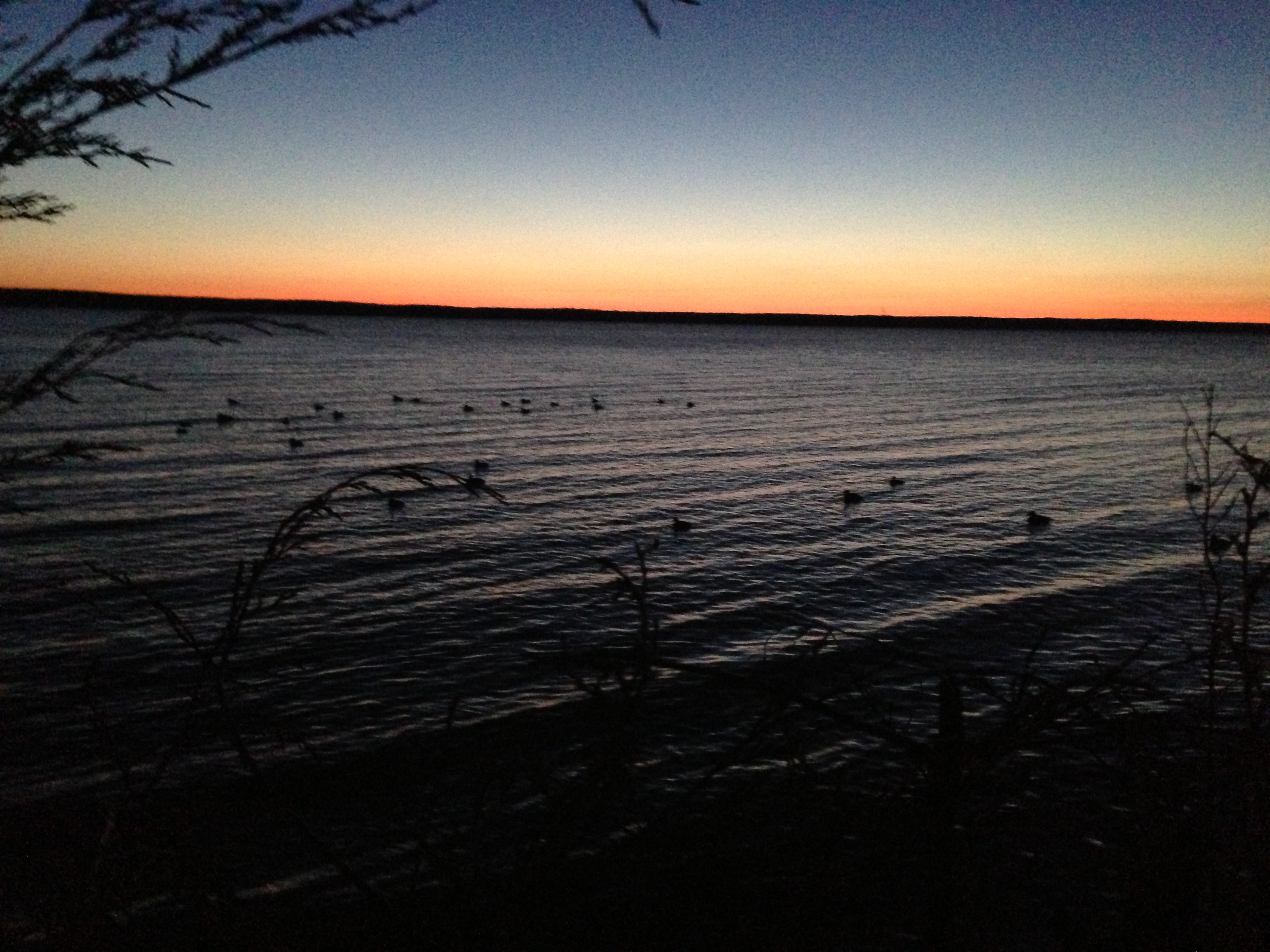
Winter Sunrise over Potomac 2008

Spreading wings 09|23 Altitude: 27m Latitude: 38.387795N Longitude: 77.315946W

Red sky from southbound train
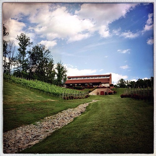
At the vineyard
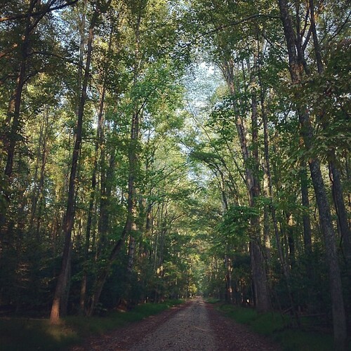
Not a particularly strenuous hike.

London Collinson
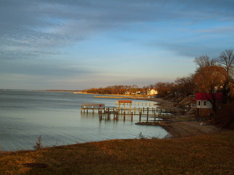
Fairview Beach
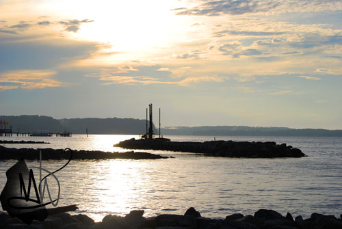
Aquia Landing
DRHT - Fall color
Topographic Map of Maryland Point Rd, Nanjemoy, MD, USA
Find elevation by address:

Places near Maryland Point Rd, Nanjemoy, MD, USA:
Nanjemoy
Nanjemoy
2010 Liverpool Point Rd
6161 10th St
Gilroy Rd, Nanjemoy, MD, USA
James Monroe
Liverpool Point Rd, Nanjemoy, MD, USA
Marlborough Point Rd, Stafford, VA, USA
Blossom Point Research Field
8475 Durham Church Rd
158 Waller Point Dr
6613 St Pauls Rd
65 Brooke Crest Ln
2, Hill Top
5499 Windsor Dr
5499 Windsor Dr
4417 Pamlico Dr
Welcome
Owens Drive
4260 Alexis Ln
Recent Searches:
- Elevation of Beall Road, Beall Rd, Florida, USA
- Elevation of Leguwa, Nepal
- Elevation of County Rd, Enterprise, AL, USA
- Elevation of Kolchuginsky District, Vladimir Oblast, Russia
- Elevation of Shustino, Vladimir Oblast, Russia
- Elevation of Lampiasi St, Sarasota, FL, USA
- Elevation of Elwyn Dr, Roanoke Rapids, NC, USA
- Elevation of Congressional Dr, Stevensville, MD, USA
- Elevation of Bellview Rd, McLean, VA, USA
- Elevation of Stage Island Rd, Chatham, MA, USA