Elevation of Zepp, VA, USA

Location: United States > Virginia > Shenandoah County > >

Longitude: -78.497787

Latitude: 39.0067747

Elevation: 328m / 1076feet

Barometric Pressure: 97KPa

Elevation Map:

elevation map of Zepp, VA, USA

Satellite Map:

Satellite map of Zepp, VA, USA

Related Photos:

bw photographs va prints specialcollections ironfurnace polaroidfilm blackandwhitephotographs shenandoahcounty lynchburgcollegearchives virginialandmarksregister builtin1837 johndcaproncollection hotblastcharcoalfurnace august271963 akakingfurnace builtbyldsibert builtbygwsibert vanburenvirginia vanburenfurnaceno1 vlr0850051 viewfromloadingramp 19thcenturyironindustry
Van Buren Furnace No. 1 - View from loading ramp, Aug. 27, 1963
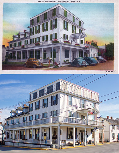
hotel virginia postcard va strasburg thenandnow strasburghotel
Hotel Strasburg - Then and Now
road county signs sign creek virginia highway view ben web north system clear va cedar signage highways warren interstate roads shenandoah signing 81 northbound clearview i81 schumin schuminweb
Enter Warren County, leave Shenandoah County
morning sky clouds landscape virginia spring view hike westvirginia shenandoahvalley georgewashingtonnationalforest
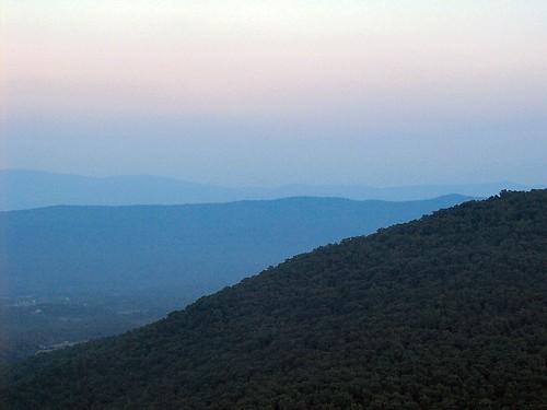
Shenandoah Valley morning
instagramapp square squareformat iphoneography uploaded:by=instagram
We weren't expecting the waist-deep snow-drifts... neither were my shoes, but this view made it worth the pain.???? (debatably)
2018 virginia nature
River View
sunset panorama mountain river virginia landscapes shenandoah woodstock shenandoahvalley woodstocktowerview
Woodstock_Va_towerview.jpg
2018 virginia nature
River View
winter snow hiking maryland hike trail washingtonmonument appalachiantrail
View from Boonesboro Washington Monument
DSC00996 006 Max Spitzer Overlook view
Reverse Ring - Zs Pics
rock geotagged fossil westvirginia geolat39064607 geolon7865505
IMG_2034.JPG
Signal Knob - photo by Sarah Smith
signalknobtrail hiking georgewashingtonnationalforest gwnf massanuttentrail shenendoahvalley
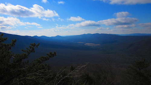
shenendoah valley view
square squareformat hudson iphoneography instagramapp uploaded:by=instagram
Good morning from Strasburg, Virginia! We drove 8 hours yesterday from Massachusetts, and have about 6 hours ahead of us before a arriving in Gatlinburg, Tennessee. If you thought this was a pretty view just wait... The Great Smoky Mountains will be breat
winter snow view hiking scenic maryland hike trail appalachiantrail
View from Boonesboro Washington Monument
trees sunset summer sky mountains night clouds virginia forrest vista shenandoahvalley naturescene calendarshots theworldthroughmyeyes easternnorthamericanature top10nature markschurig
Woodstock Fire Tower
virginia courthouse woodstock shenandoahcounty
Top Side View, Old Shenandoah County Courthouse
2018 virginia snp woods
North Fork view from Suspension Bridge
virginia courthouse woodstock oldcourthouse circuitcourt shenandoahcounty
Distant View Of Old Shenandoah County Courthouse
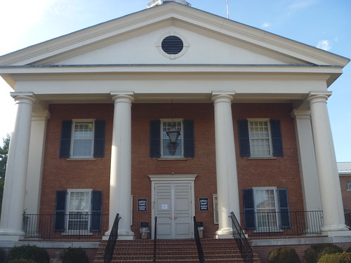
Front View Of Shenandoah County Courthouse
trees art field farmhouse barn forest landscape outside cow photo high cows image outdoor farm altitude stock over creative free commons silo license walt overhead graze wls stoneburner waltstoneburner
Over The Barn
wood trees mist tree green art forest landscape outside photo woods image outdoor stock creative free commons license greenery layers walt overhead wls stoneburner waltstoneburner
Over The Tree Tops
wv afternoon autumn bridge country day daylight fall freeway highway infrastructure landscape rural sun sunny wideangle wardensville westvirginia unitedstates us route 48 corridorh
Highway Bridge
winter snow river outdoors stream hiking westvirginia georgewashingtonnationalforest whiterockslookouttrail
Crossing the Stream
virginia strasburg americancivilwar huppshill
Hupp's Hill Civil War Park Trail
hiking bigschloss georgewashingtonnationalforest gwnf greatnorthmountain halfmoontrail tibbetknob halfmoonlookoutspurtrail troutrunvalleywv
trout run valley, wv
autumn fall water creek stream fallcolor westvirginia hdr autumncolor caponsprings
Fall at the creek within Capon Springs and Farms
millmountain georgewashingtonnationalforest greatnorthmountain sugarknobcabin whiterockcliff tuscaroratrail bigbluetrail wolfgaprecreationarea stonycreektrail
Sunrise at White Rock Cliff
tree art field landscape outside photo high corn cornfield day image outdoor farm altitude stock over creative free commons clear license walt husk overhead husks wls stoneburner waltstoneburner
Over The Corn Field
virginia april2019 drinkingacrossamericanbaltimoretoatlantaapril2019
I love driving through the mountains
autumn fall water yellow rural creek river landscape virginia stream civilwar shenandoah vapor battlefields
Morning Light on Cedar Creek
shenandoahcounty va virginia river shenandoahriver
North Fork of the Shenandoah River
woodstock shenandoahcounty va virginia 2016 bridge landscaped
Flora on the Bridge