Elevation of Riverview Dr, Toms Brook, VA, USA
Location: United States > Virginia > Shenandoah County > Toms Brook >
Longitude: -78.409008
Latitude: 38.9370723
Elevation: 231m / 758feet
Barometric Pressure: 99KPa
Elevation Map:
Satellite Map:
Related Photos:
Belle Grove

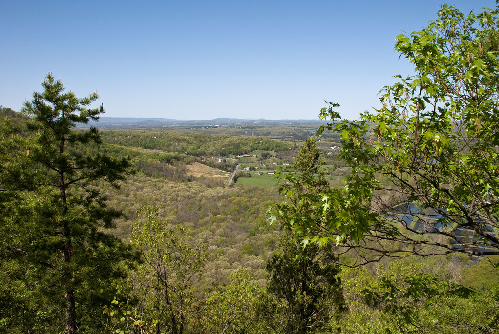
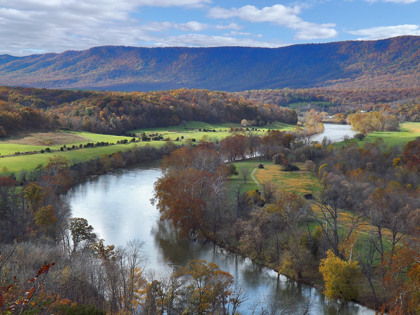
Shenandoah River State Park - View From Cullers Overlook
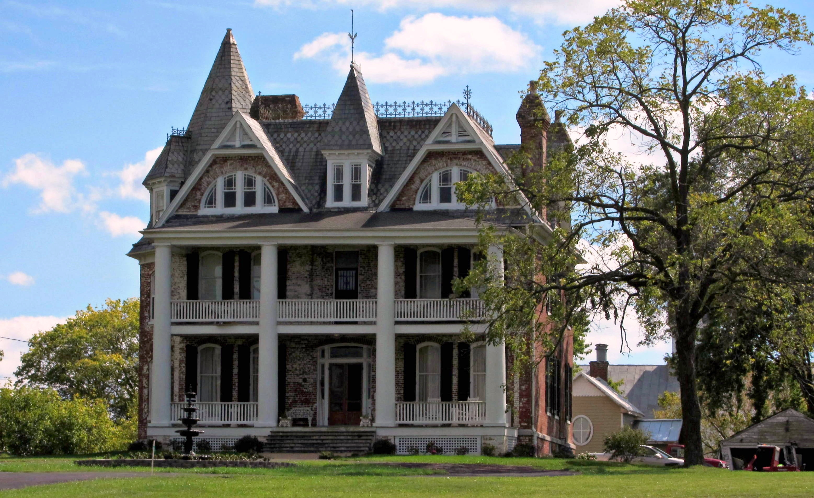
Monte Vista

Hotel Strasburg - Then and Now
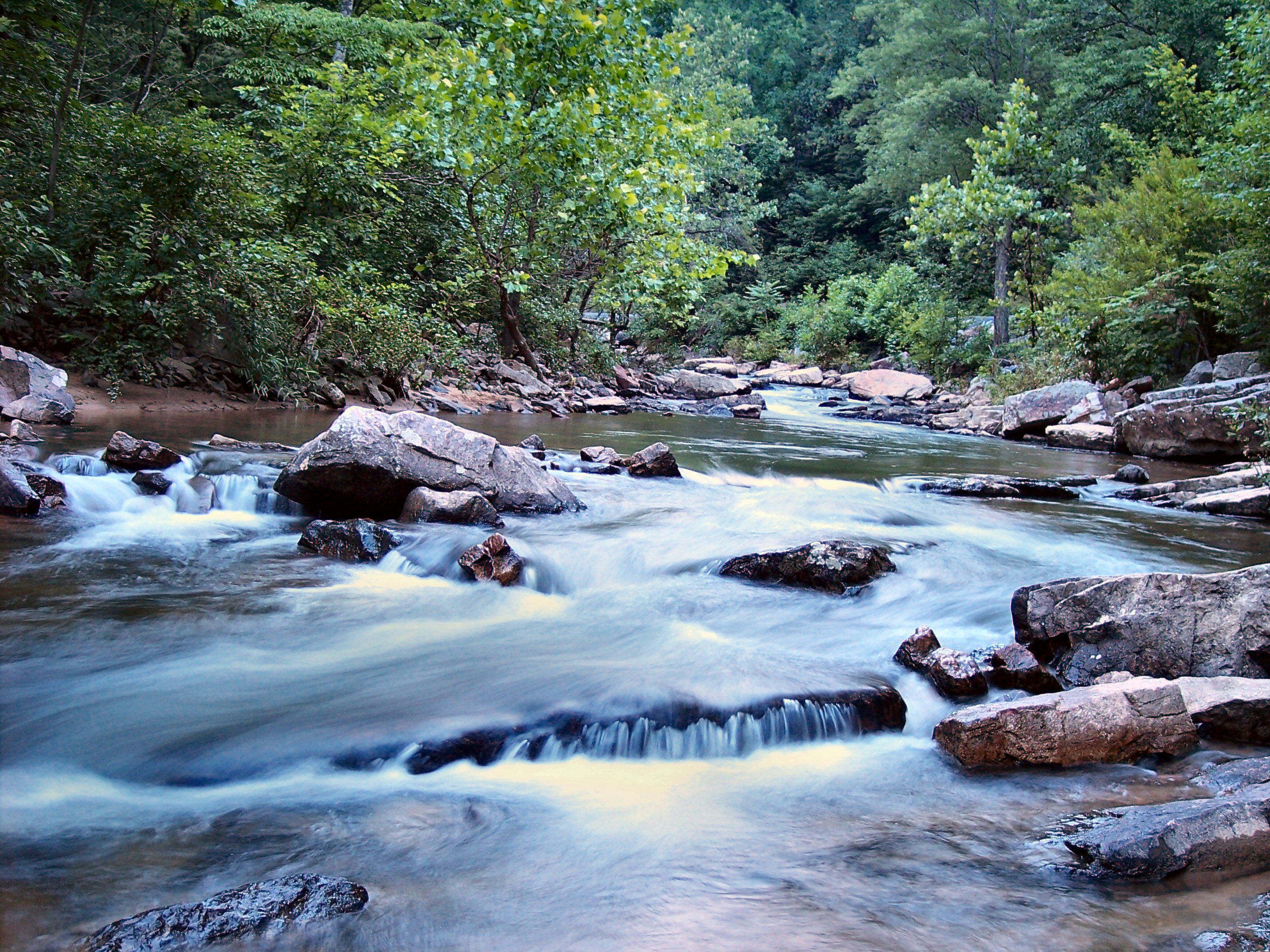
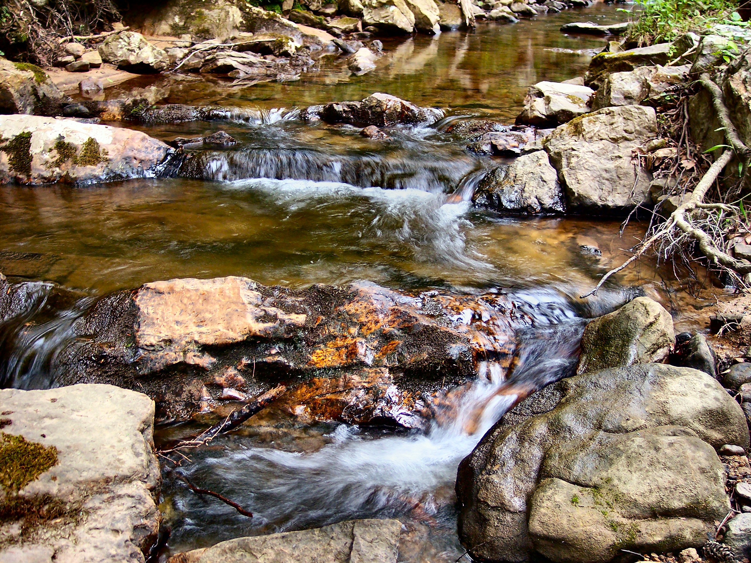
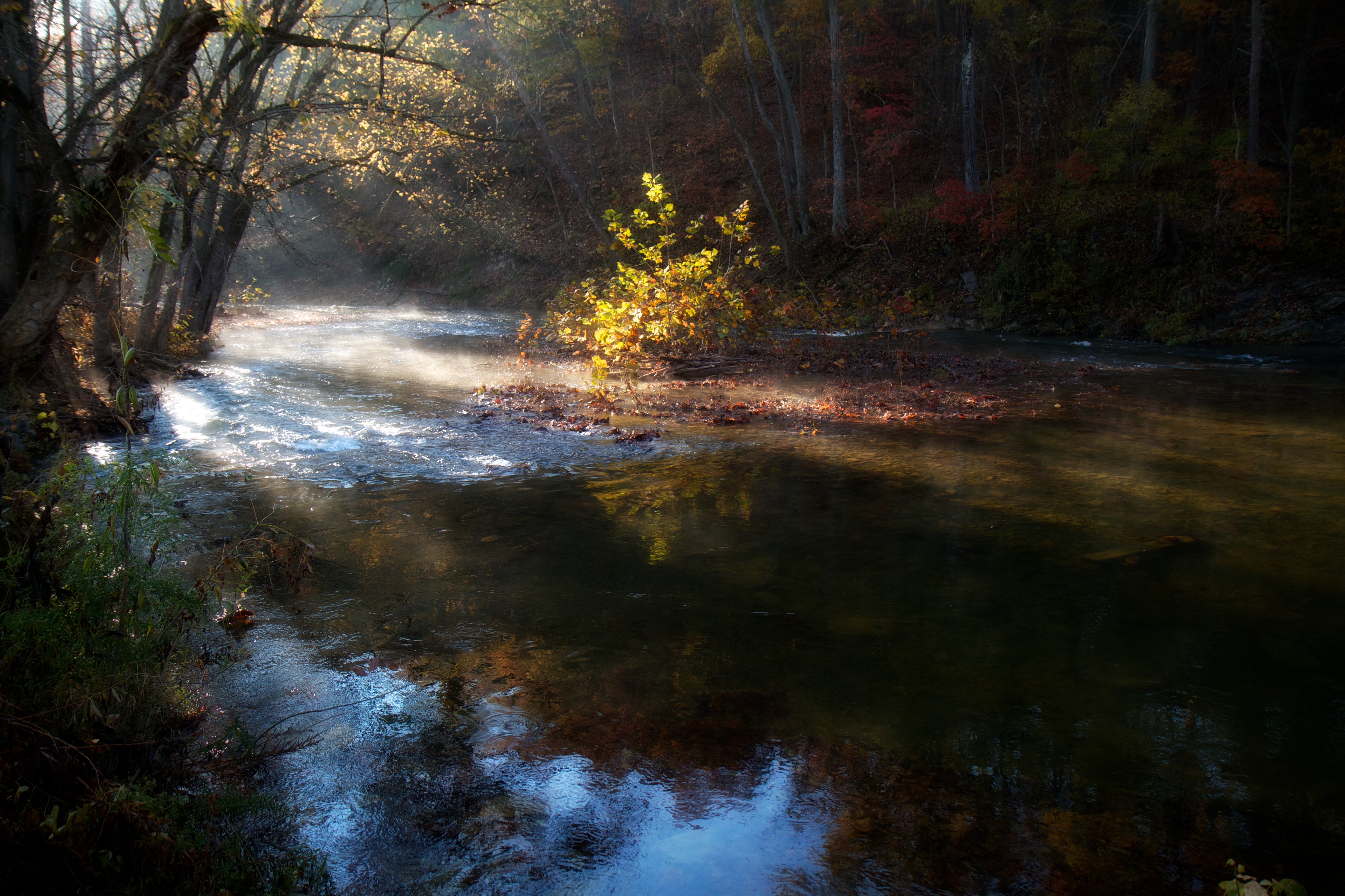
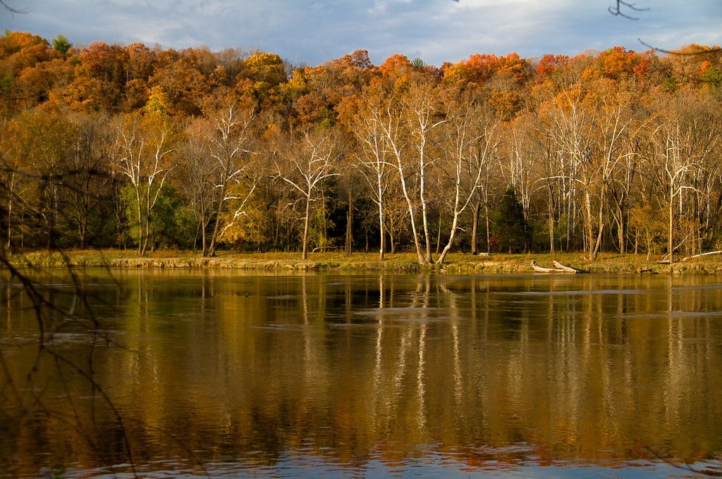
Passage Creek Up Stream
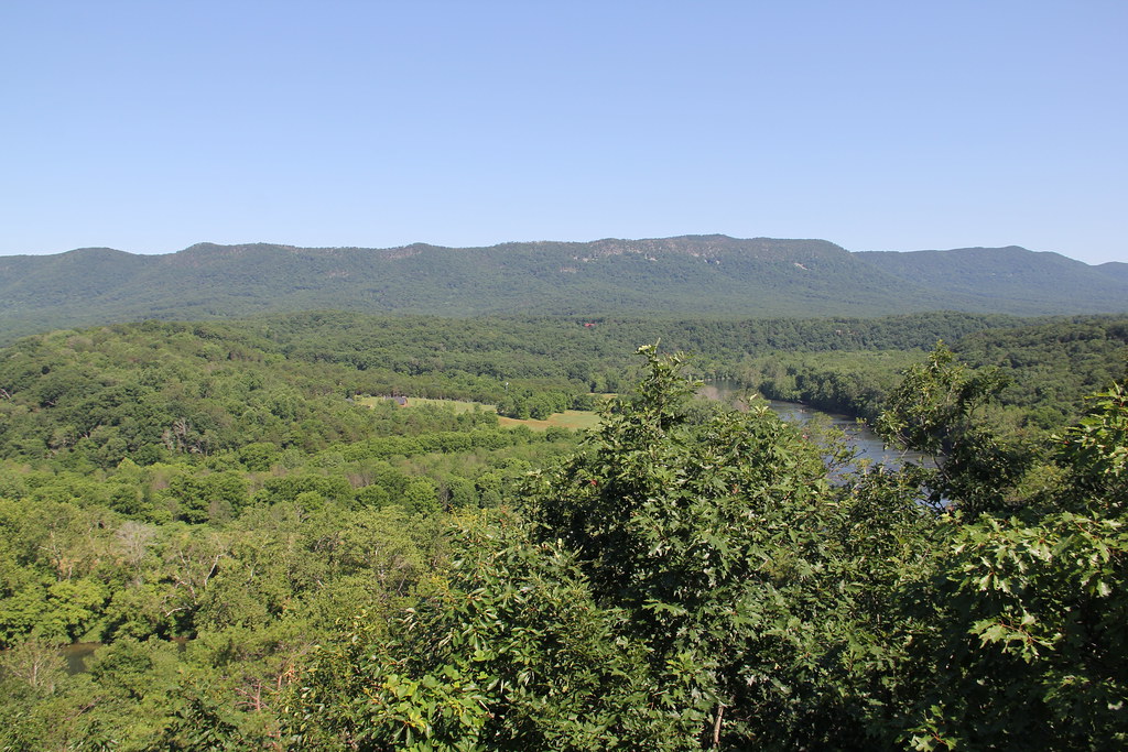
Shenandoah River State Park - View From Cullers Overlook

Monte Vista
JER_1395-Pano-face
Get Outdoors! Photo contest entries Shenandoah River State Park
River View
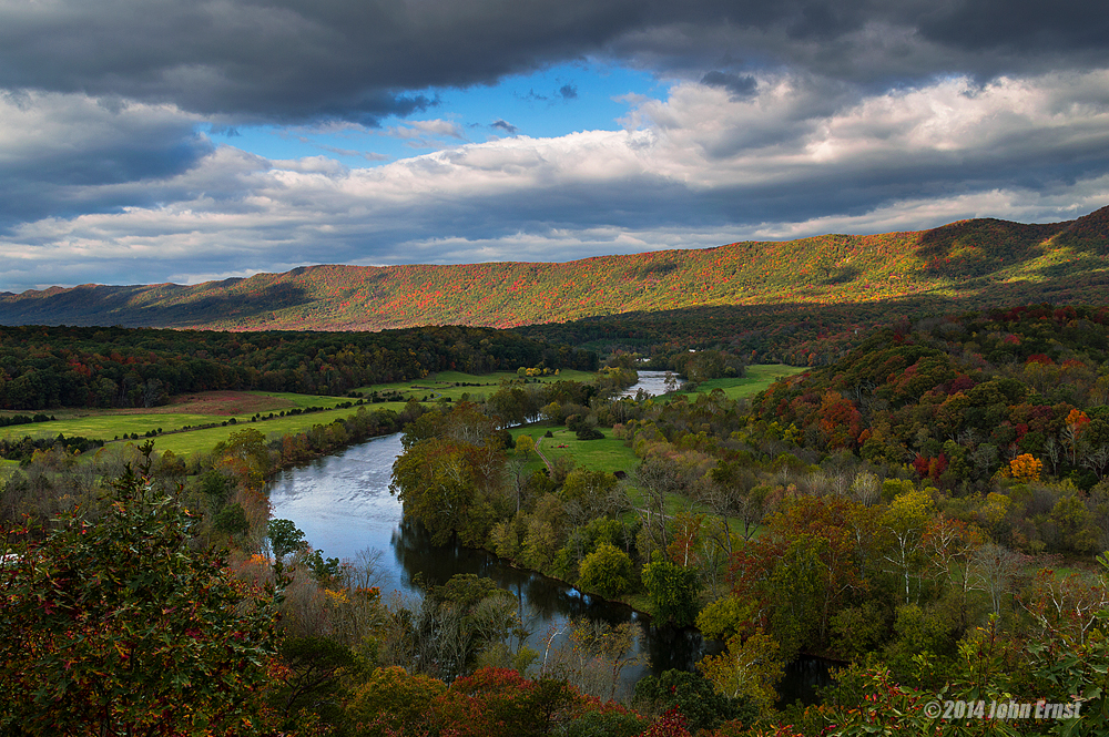
Culler's Overlook

1,000,000
Mystic Pines Perspective

Enter Warren County, leave Shenandoah County
Good morning from Strasburg, Virginia! We drove 8 hours yesterday from Massachusetts, and have about 6 hours ahead of us before a arriving in Gatlinburg, Tennessee. If you thought this was a pretty view just wait... The Great Smoky Mountains will be breat
Distant Side View Of The Old Shenandoah County Courthouse
View behind Denny's
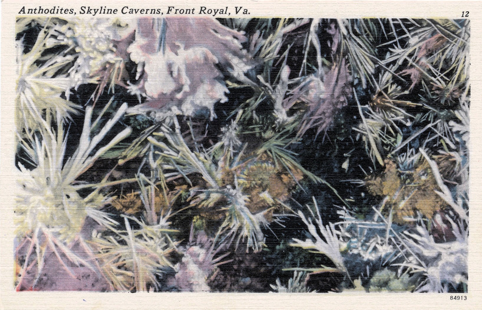
Postcard: Anthodites, Skyline Caverns, Front Royal, Va.
Buzzard Rock
Peters Mill Run
Passage Creek Cross Stream

Shenandoah River State Park in Bentonville, Virginia, USA

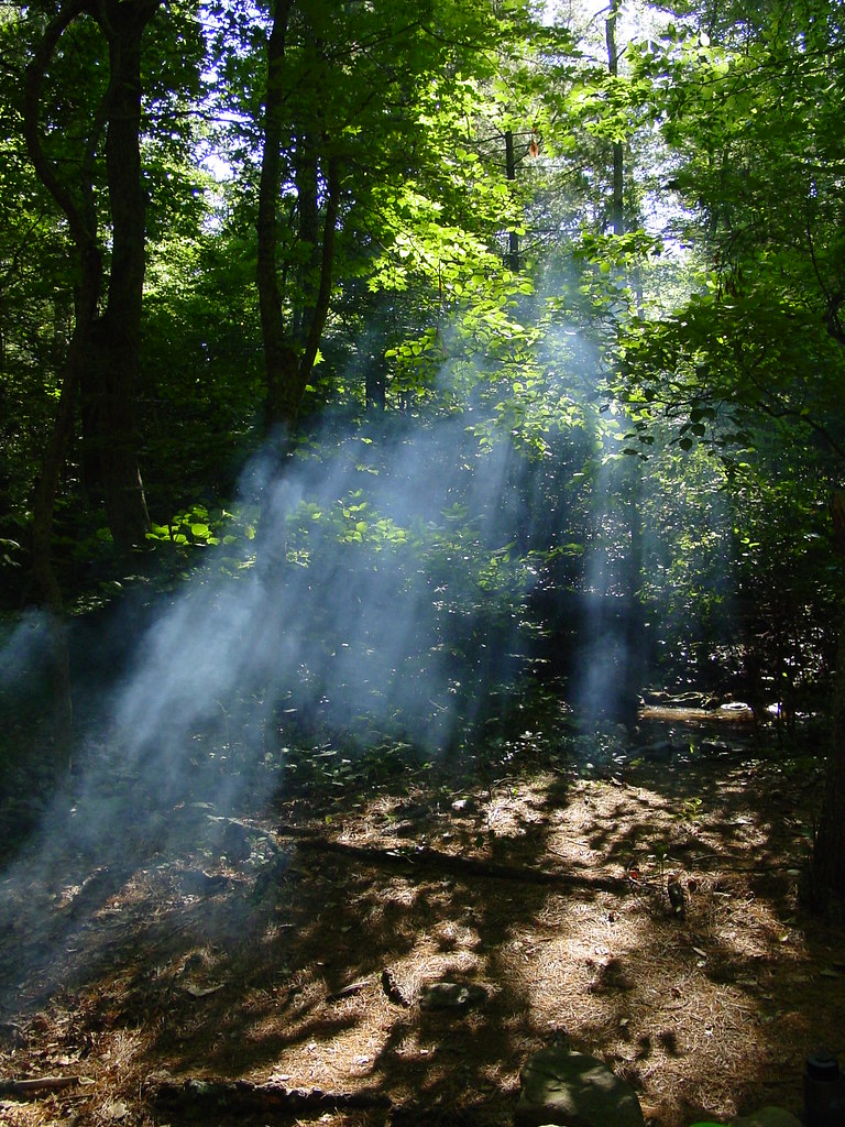
The Ghost Trees
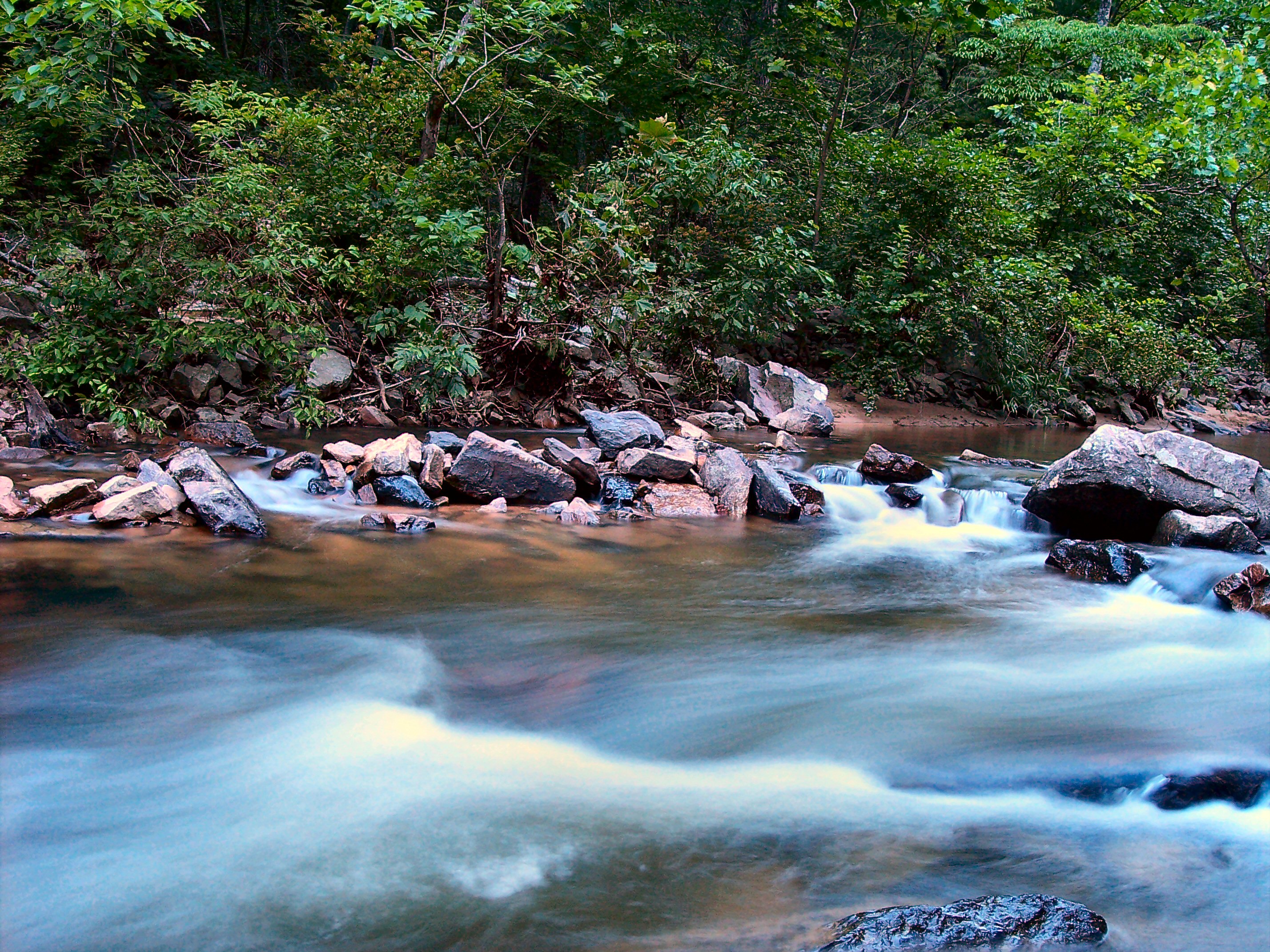
Morning Light on Cedar Creek
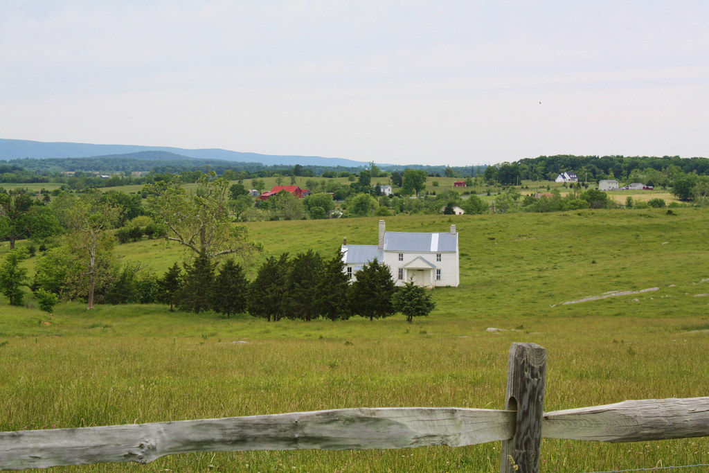
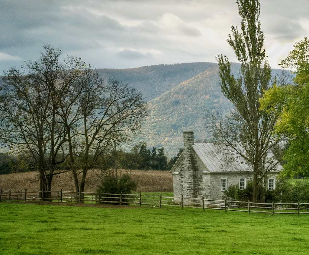
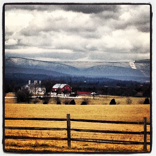
Heater House

13-3018
South Fork of The Shenandoah River, Shenandoah River State Park, Warren County, VA

Cullers Overlook
Shenandoah River State Park

Shenandoah River

Haaaaay!
Because there is no need for any more people here, anyhow #nofilter
Shenandoah River 1
Taking a ride before the game today

Sunrise at White Rock Cliff
8-01-07 039

#nighttime #squigglywigglies

cows! in middletown

Belle Grove Road

Angry Twilight #8
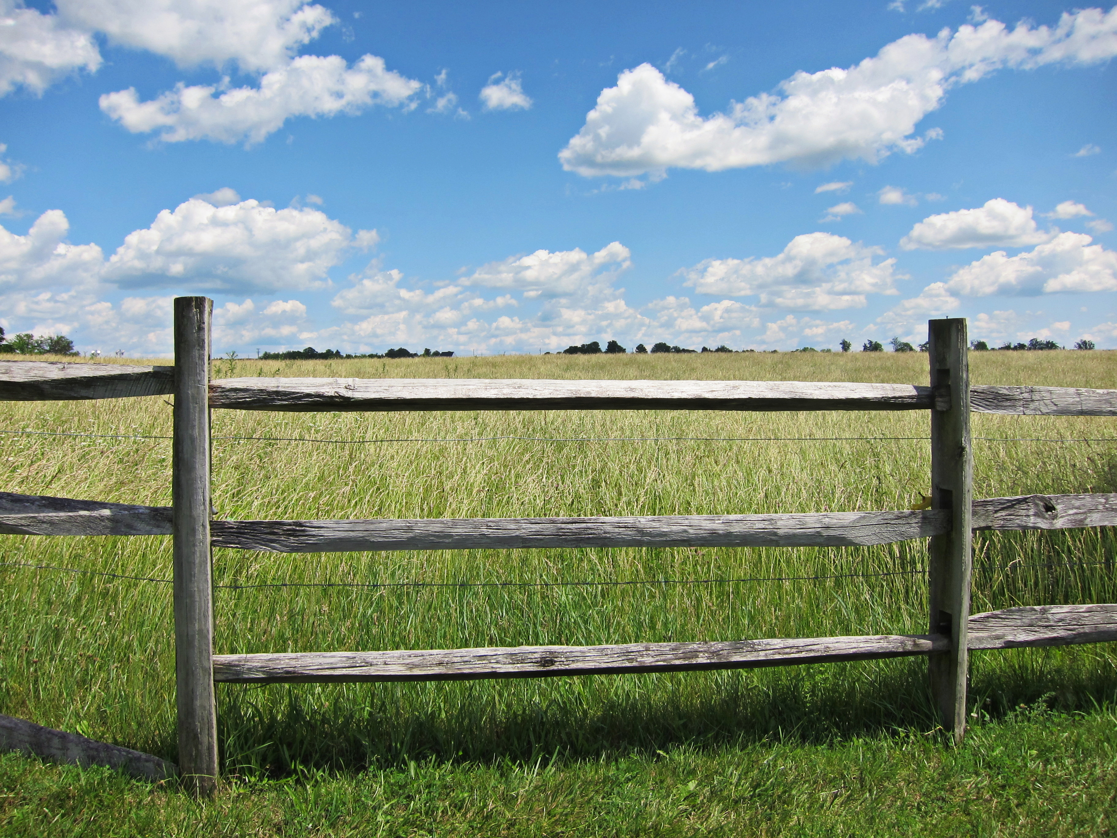
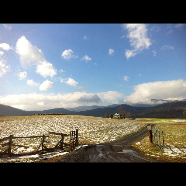
fenced in
Topographic Map of Riverview Dr, Toms Brook, VA, USA
Find elevation by address:

Places near Riverview Dr, Toms Brook, VA, USA:
949 Hahns Ln
86 Indian Spring Trail
27036 Old Valley Pike
Toms Brook
1254 Copp Rd
800 Country Brook Rd
Mount Olive Road
Maurertown
Seven Fountains
1040 Pontzer Rd
444 Mountain Rd
7567 Fort Valley Rd
588 Turtle Hill Ln
District 4
Woodstock, VA, USA
5, VA, USA
225 S Water St
Woodstock
Zepp
3933 Zepp Rd
Recent Searches:
- Elevation of Corso Fratelli Cairoli, 35, Macerata MC, Italy
- Elevation of Tallevast Rd, Sarasota, FL, USA
- Elevation of 4th St E, Sonoma, CA, USA
- Elevation of Black Hollow Rd, Pennsdale, PA, USA
- Elevation of Oakland Ave, Williamsport, PA, USA
- Elevation of Pedrógão Grande, Portugal
- Elevation of Klee Dr, Martinsburg, WV, USA
- Elevation of Via Roma, Pieranica CR, Italy
- Elevation of Tavkvetili Mountain, Georgia
- Elevation of Hartfords Bluff Cir, Mt Pleasant, SC, USA