Elevation of Woodstock, VA, USA
Location: United States > Virginia > Shenandoah County > Woodstock >
Longitude: -78.497924
Latitude: 38.8965185
Elevation: 264m / 866feet
Barometric Pressure: 98KPa
Elevation Map:
Satellite Map:
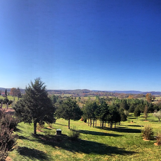
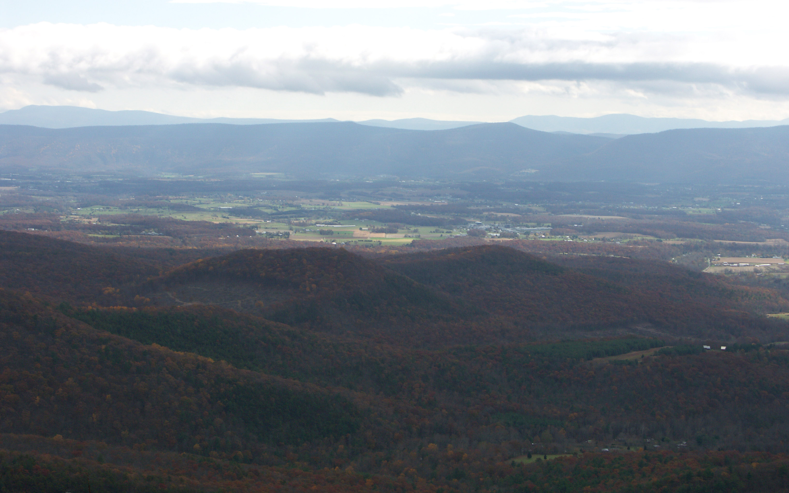
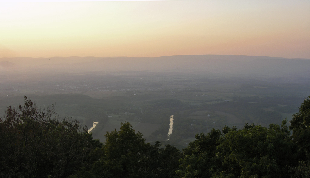
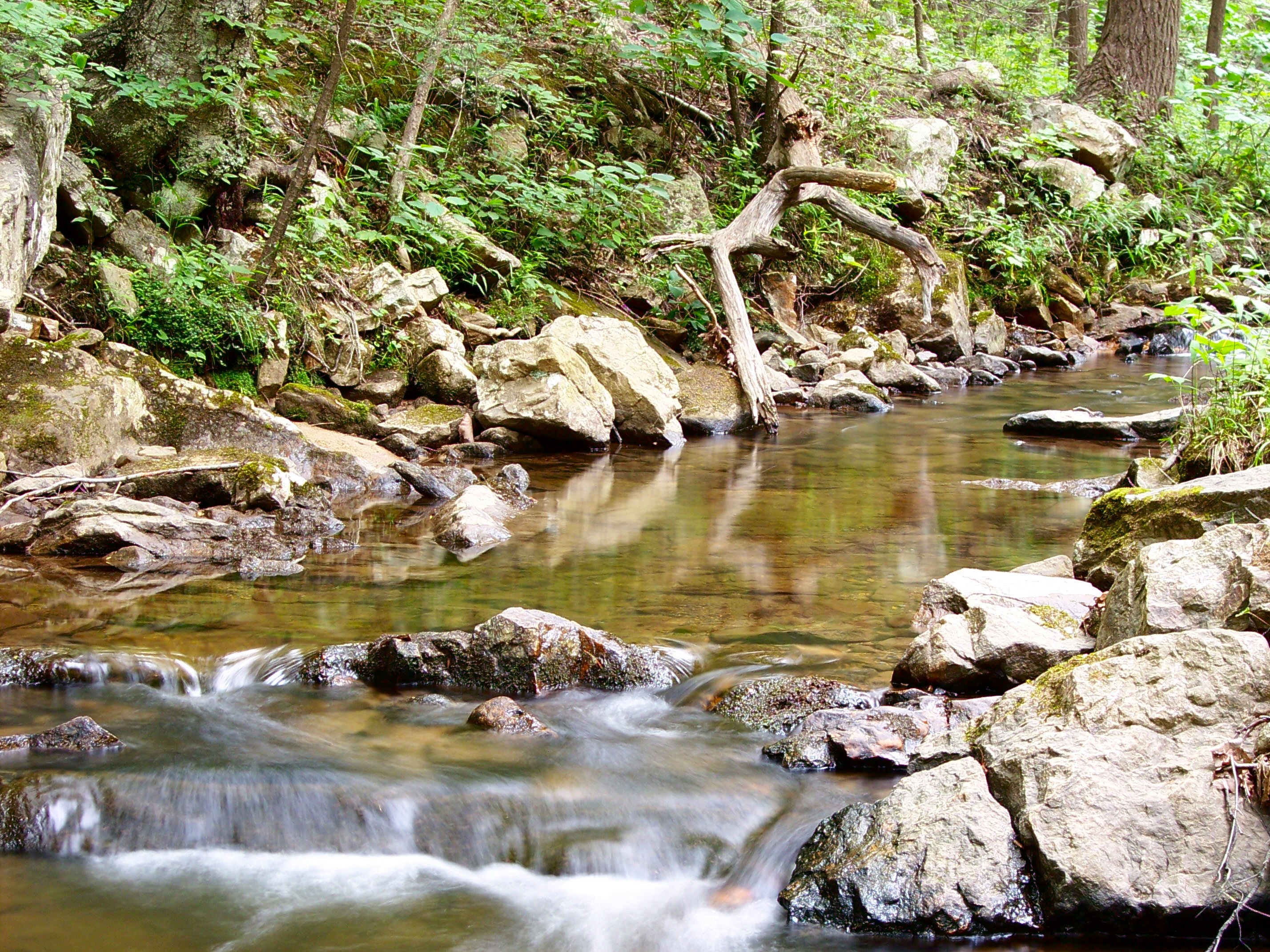
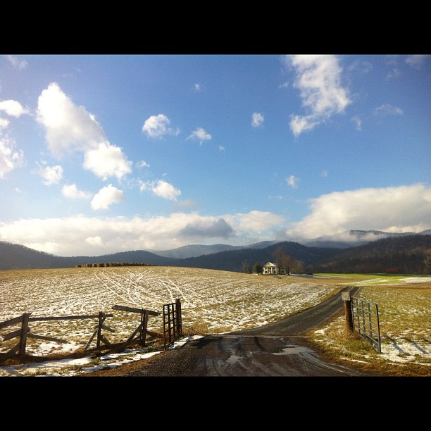
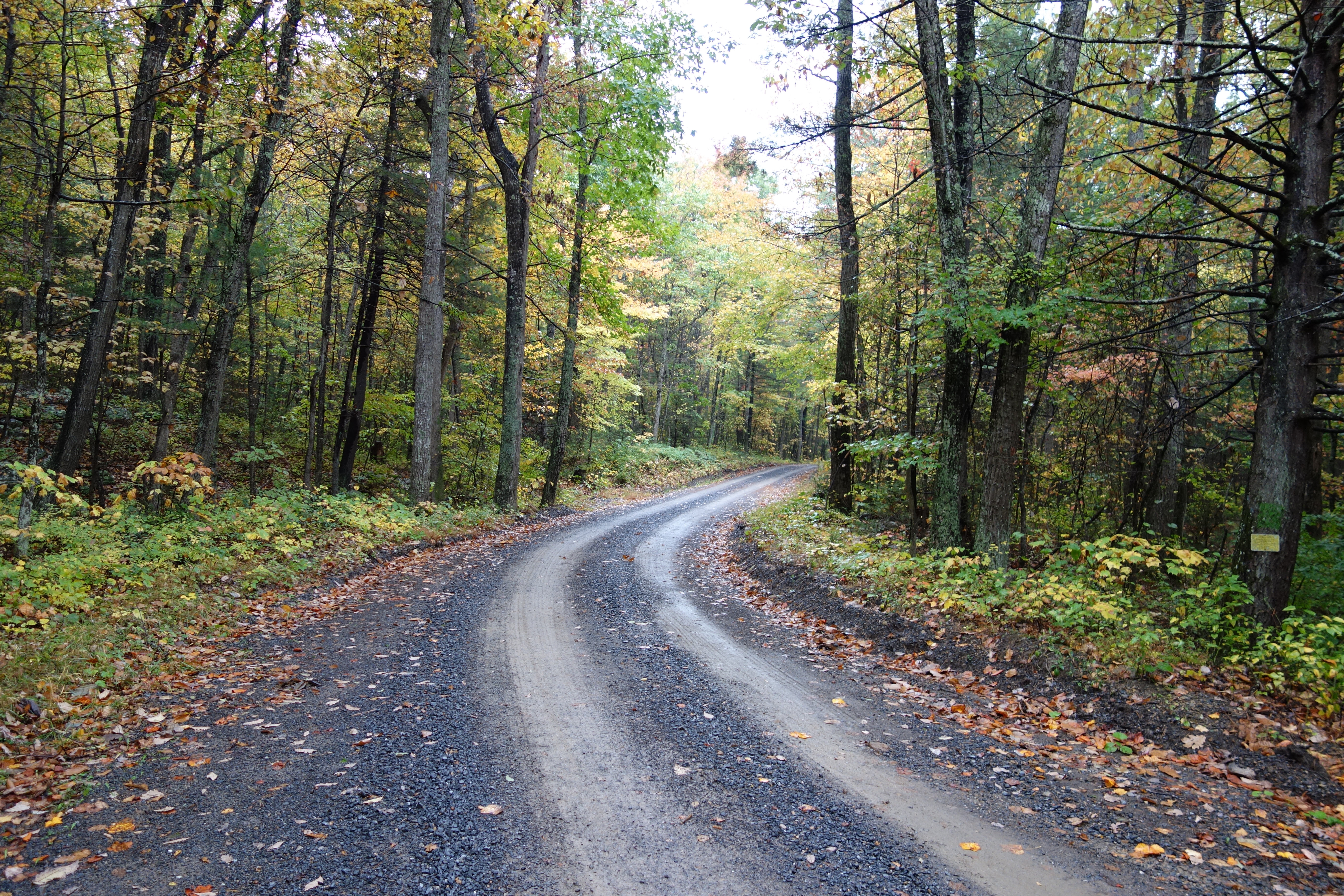
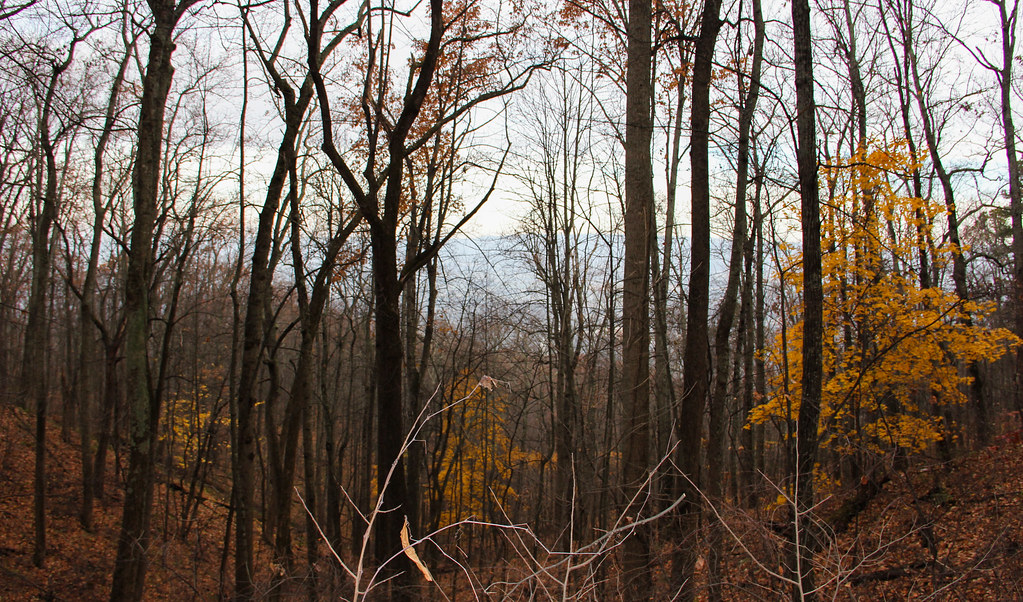
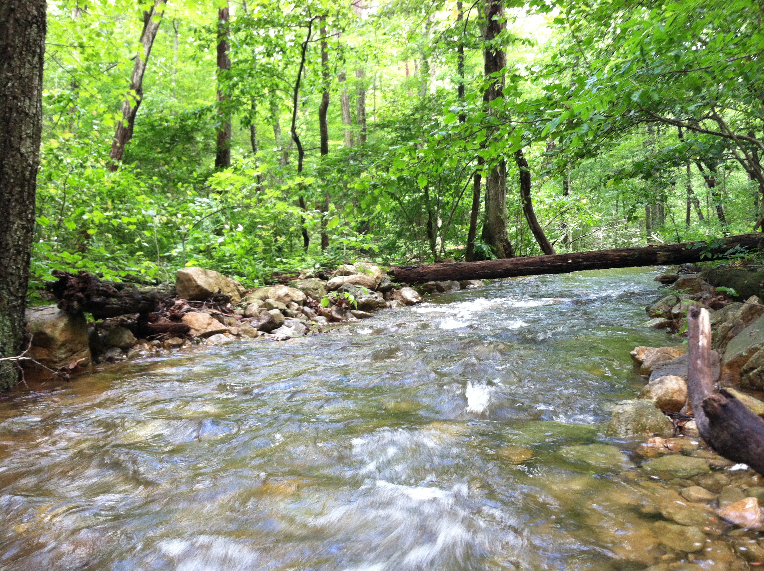
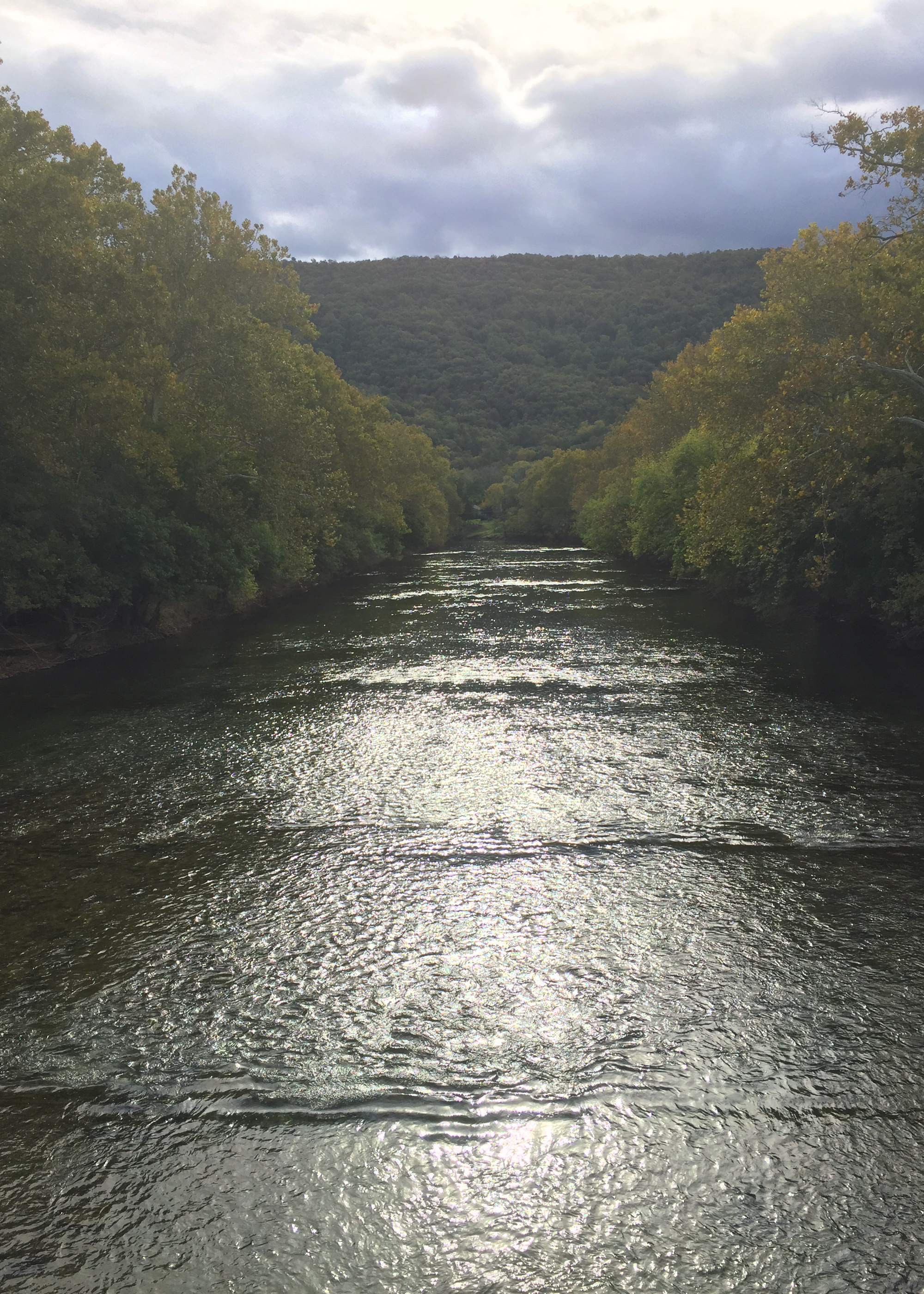
Related Photos:
JER_1395-Pano-face
Big Schloss View 3
Big Schloss View 1
Big Schloss View 2

Van Buren Furnace No. 1 - View from loading ramp, Aug. 27, 1963

taking in the cliff view
Wine tasting with a view.

The view through my windshield on I-81
View from Big Schloss Trail

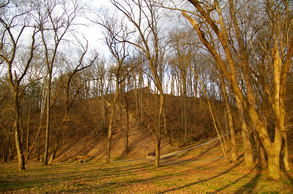
View from Black Rock
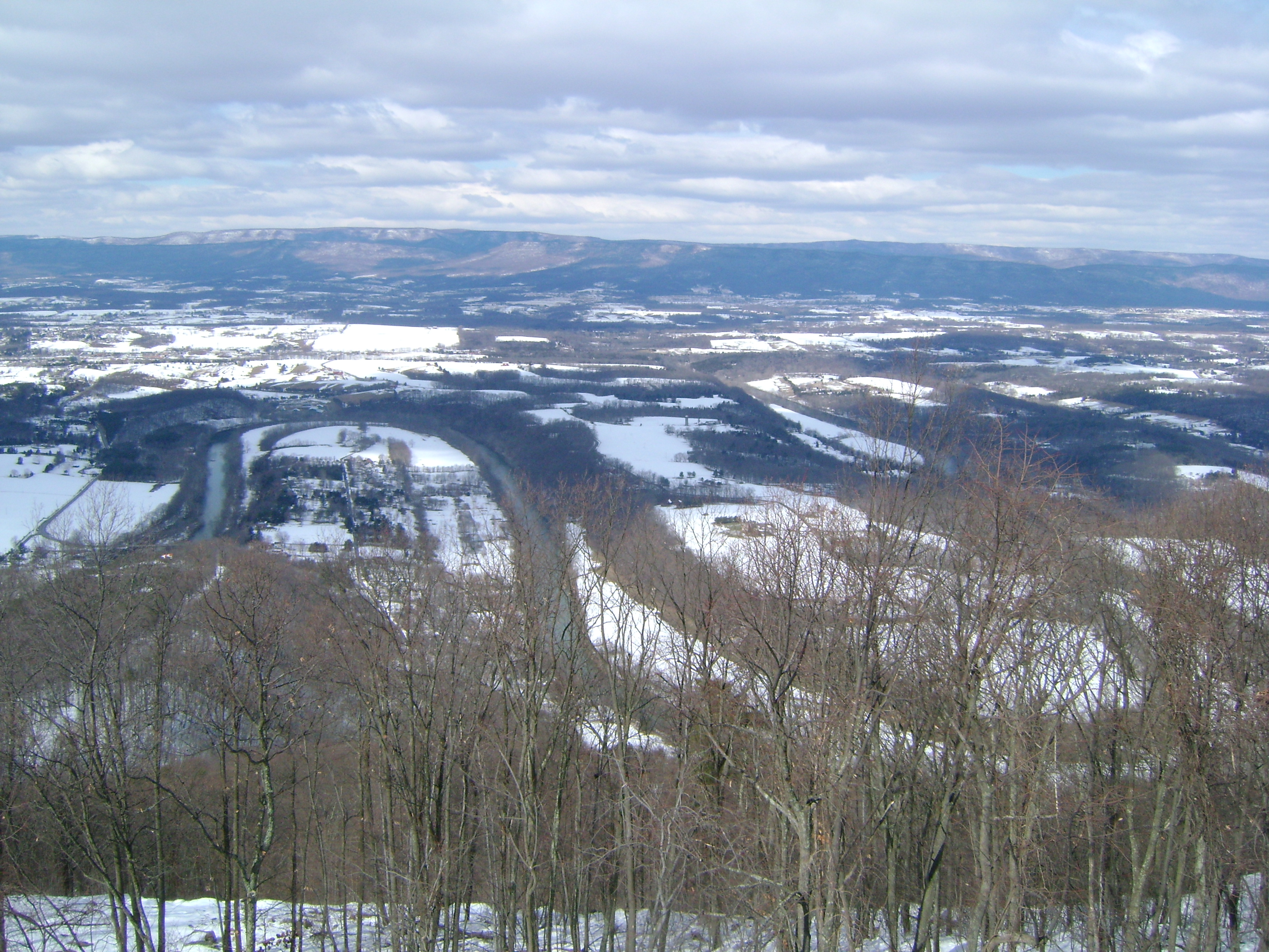
Woodstock_Va_towerview.jpg

View from Boonesboro Washington Monument

View from Black Rock
Peters Mill Run upstream
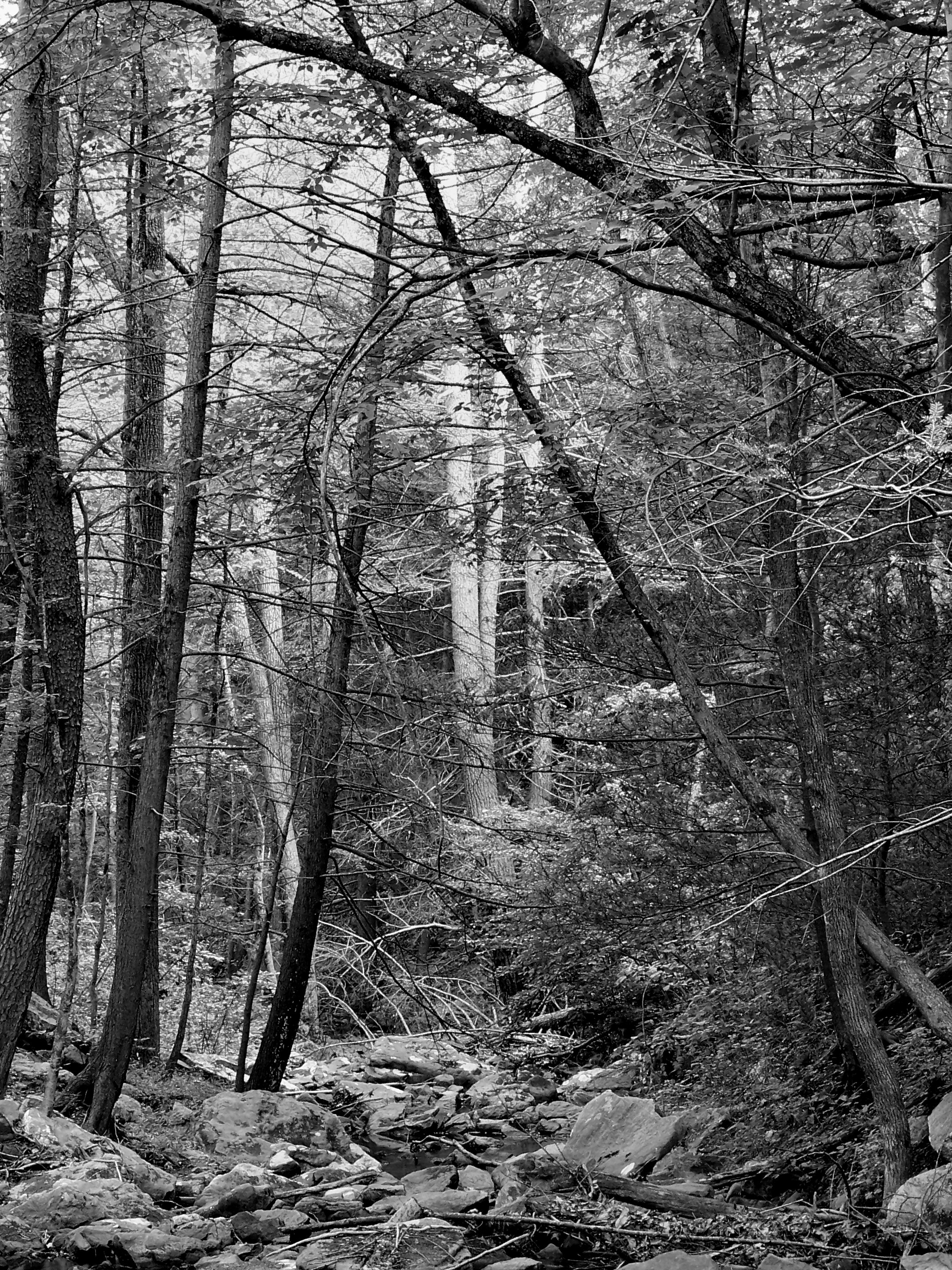
B&W Tallest Pine

Top Side View, Old Shenandoah County Courthouse

Reverse Ring - 2010
Reverse Ring - 2010
Woodstock Fire Tower

Trout Run Valley
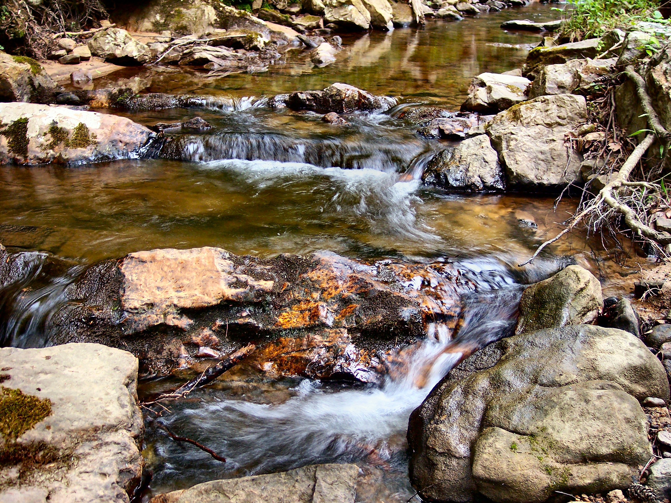
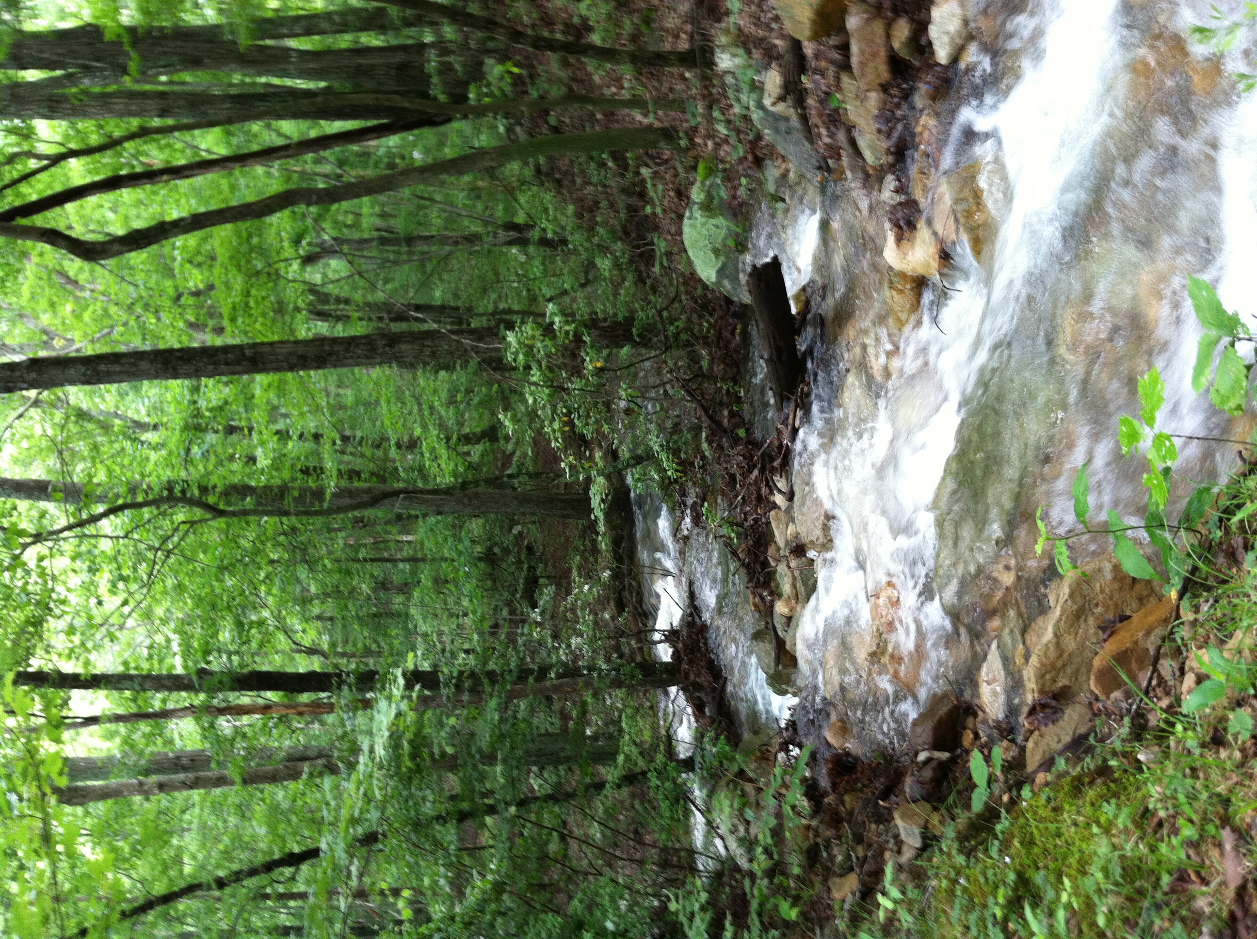
Peters Mill Run
Because there is no need for any more people here, anyhow #nofilter

Sunrise at White Rock Cliff
Aesthetically freezing. ❄️
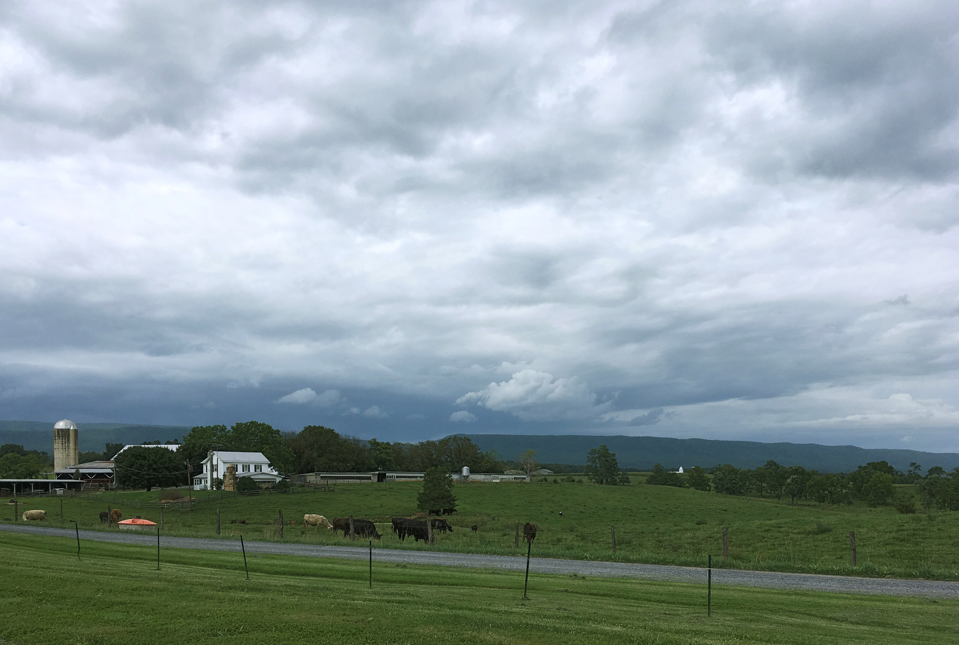
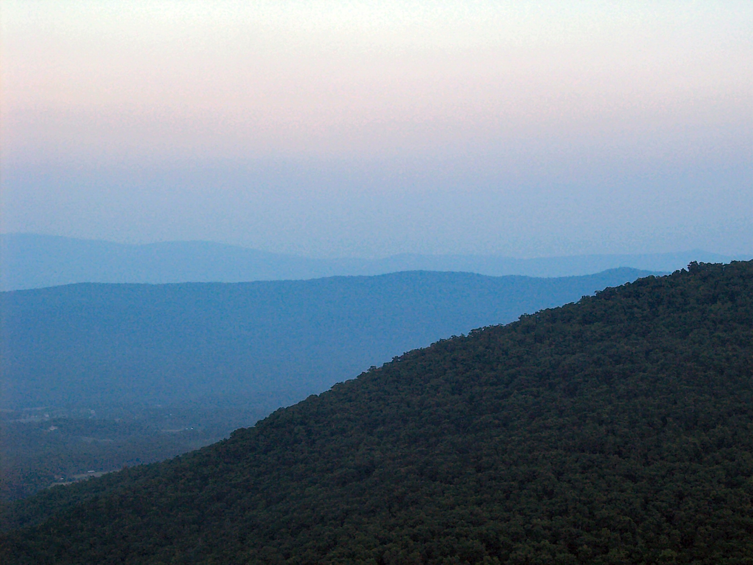
Stormy Shenandoah
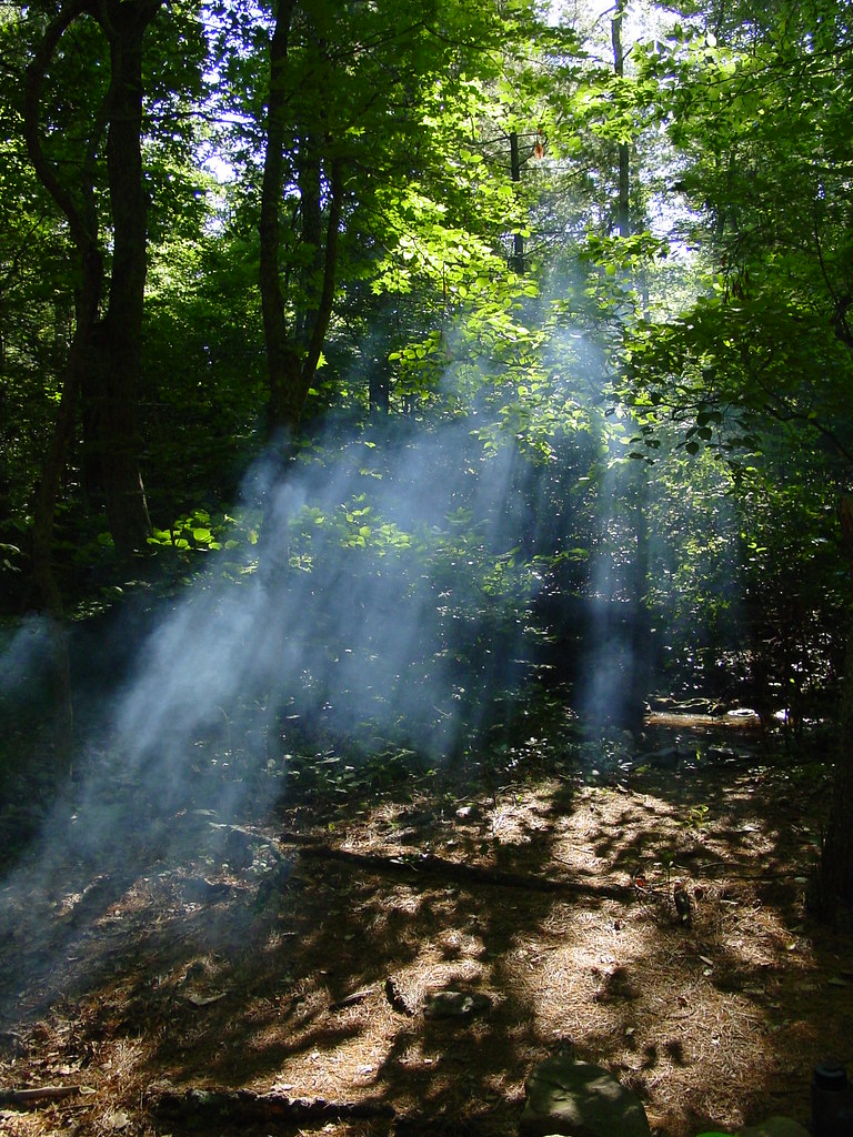
Shrouded By The Brush

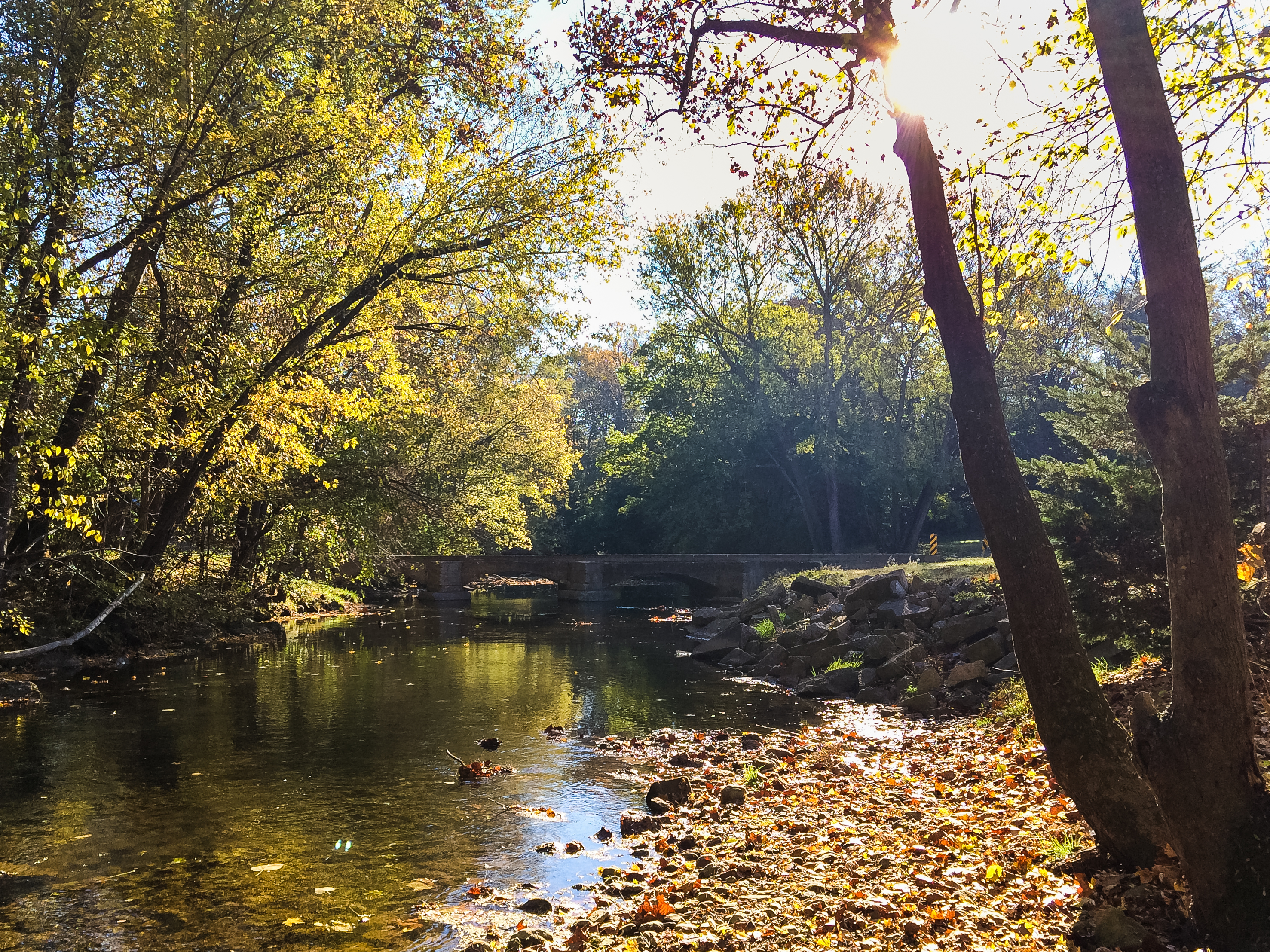
The First Bridge
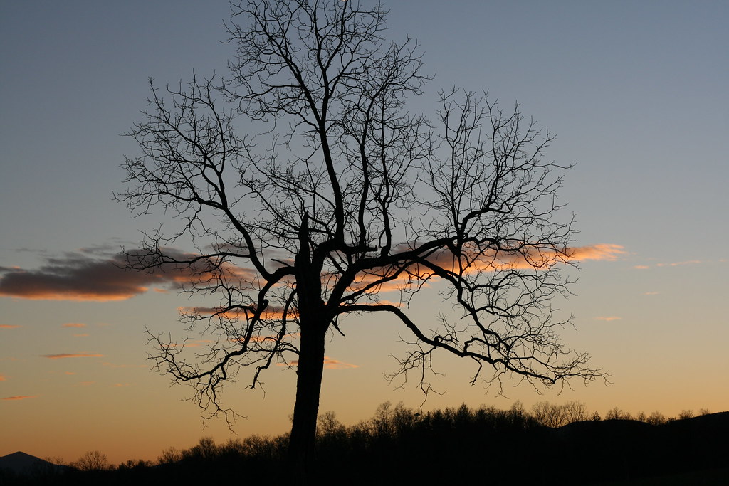
Sunset in the Woods
Screamin' Stream
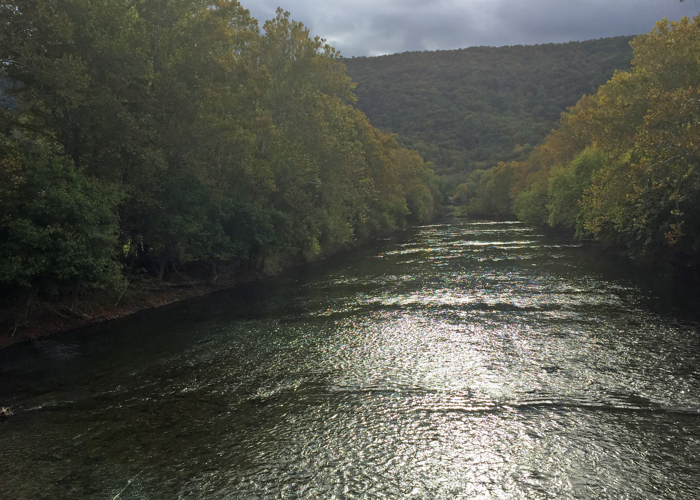
River View

IMG_0410.jpg
IMG_0409.jpg

This Way...
DSC00587 135 TT jct Gander Rock Rd and Waites Run Rd
Woodstock, VA

Fall colors
Cedar Creek
River View
8-01-07 039
Fort Valley Tree
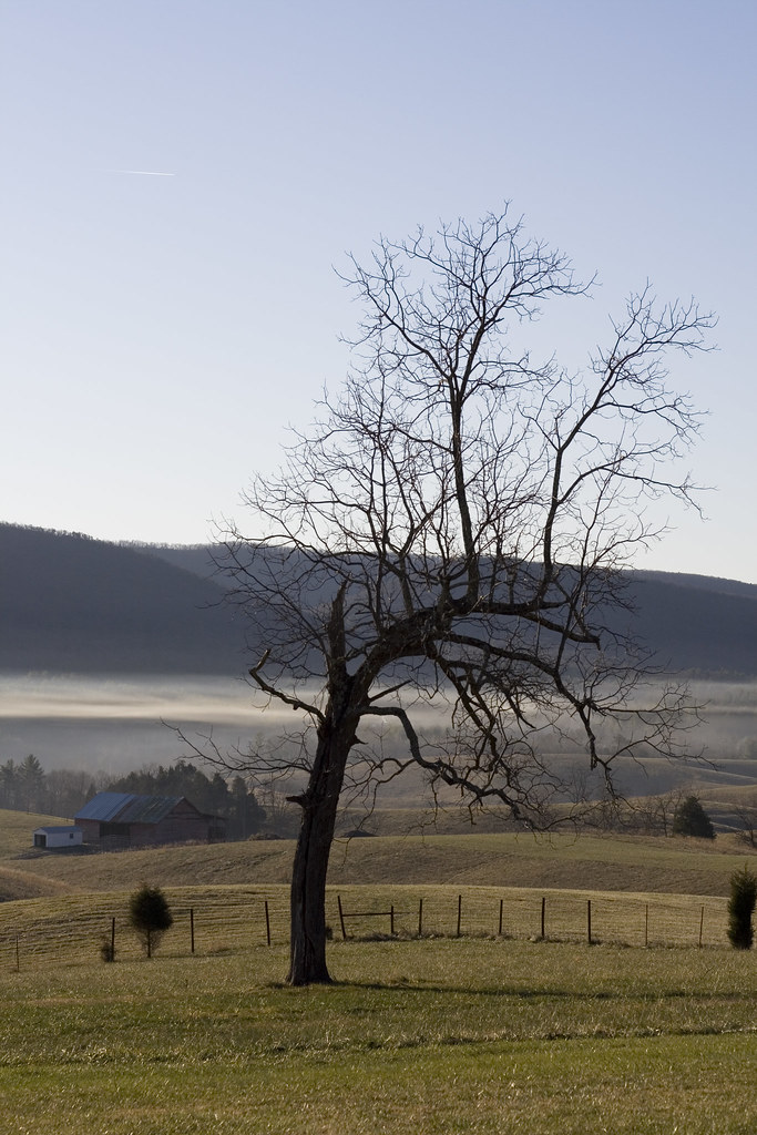
Tree and Barn
Topographic Map of Woodstock, VA, USA
Find elevation by address:

Places near Woodstock, VA, USA:
Woodstock
225 S Water St
Motel Drive
Maurertown
District 4
Hunter Road
588 Turtle Hill Ln
581 Hunter Rd
Toms Brook
800 Country Brook Rd
5, VA, USA
27036 Old Valley Pike
3933 Zepp Rd
86 Indian Spring Trail
949 Hahns Ln
Mount Olive Road
3, VA, USA
7567 Fort Valley Rd
2764 Riverview Dr
2155 Rittenour Rd
Recent Searches:
- Elevation of Corso Fratelli Cairoli, 35, Macerata MC, Italy
- Elevation of Tallevast Rd, Sarasota, FL, USA
- Elevation of 4th St E, Sonoma, CA, USA
- Elevation of Black Hollow Rd, Pennsdale, PA, USA
- Elevation of Oakland Ave, Williamsport, PA, USA
- Elevation of Pedrógão Grande, Portugal
- Elevation of Klee Dr, Martinsburg, WV, USA
- Elevation of Via Roma, Pieranica CR, Italy
- Elevation of Tavkvetili Mountain, Georgia
- Elevation of Hartfords Bluff Cir, Mt Pleasant, SC, USA