Elevation of Wordsworth Rd, Rugby CV22 6HY, UK

Location: United Kingdom > England > Warwickshire > Rugby >

Longitude: -1.2743415

Latitude: 52.3540328

Elevation: 114m / 374feet

Barometric Pressure: 100KPa

Elevation Map:

elevation map of Wordsworth Rd, Rugby CV22 6HY, UK

Satellite Map:

Satellite map of Wordsworth Rd, Rugby CV22 6HY, UK

Related Photos:

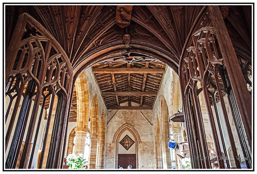
wood roof england history church woodwork carving soe woodcarving timbers roodscreen ashbystledgers
History - Ancient Roof Timbers & Rood Screen in Church of Blessed Virgin Mary & St.- Leodegarius Ashby St Ledgers, England.
geotagged geo:lat=5247188334496564 geo:lon=11364943005859232
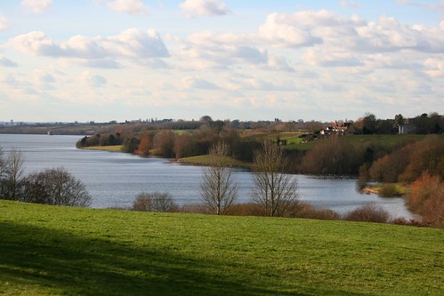
The lake
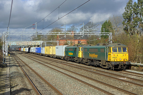
camera girls light sky clouds train cool shot superb photos rugby railway crewe digitalphoto freight felixstowe locomotives lasses digitalphotograph alternatingcurrent freightliner wcml enjoytheview 86604 86621 4l75 cathiron canoneosfotsummer englandukflickrtagphotfotimagesuk acelectricsuk locogroup jasonrodhouse nakedeyephotographybasics photosaresexy
86621 & 86604, Cathiron
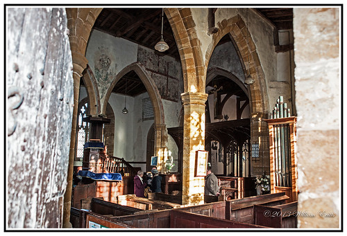
england history church canon small medieval tiny artifacts wallpaintings reformation flickrdiamond ashbystledgers
History - View through door showing medieval wall paintings- Church of Blessed Virgin Mary & St.- Leodegarius Ashby St Ledgers, England.
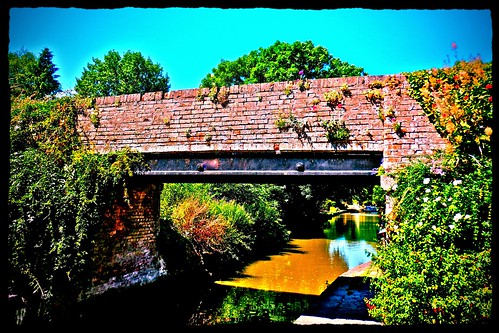
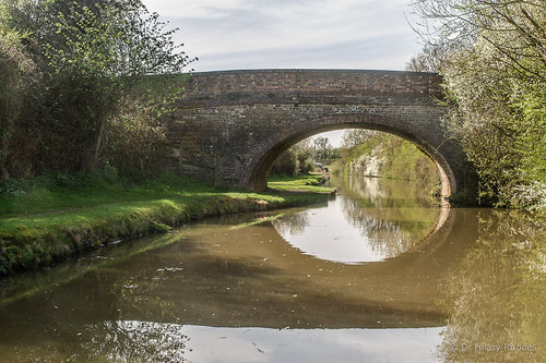
bridge flowers england floral northamptonshire grandunioncanal mickyflick
Canal Bridge...remembering summer
church northamptonshire churches 1000 1000years kilsbystfaithshistorynorthamptonshiresandstonemedieval
1000 Years of History. St FAITH'S CHURCH, Kilsby, Northamptonshire, England.
england history northamptonshire guyfawkes parliament bates manorhouse beggars catesby gunpowderplot ashbystledgers
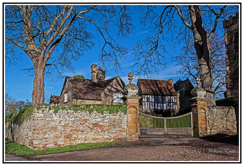
English History- Manor House and Gatehouse. Ashby St. Ledgers, England.
house countryside industrial northamptonshire canals revolution waterways pumping braunston
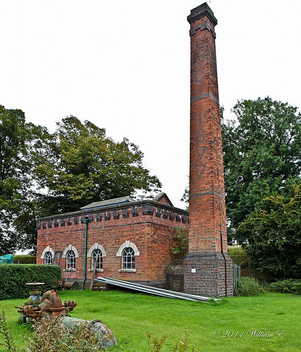
Braunston-Pumping Station The Pumping Station on the Grand Union Canal
history church ancient sandstone northamptonshire years 1000 barby
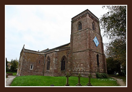
St Mary Church, Barby, Northamptonshire, England
trees church geotagged headstones kimcote geo:lat=524720845789673 geo:lon=1137643002655068
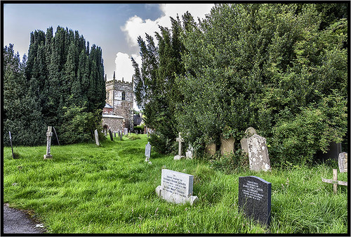
The church
park uk england water canon project eos is village unitedkingdom rugby united country kingdom reservoir severn 2nd trent usm february 70300mm ef warwickshire 52 draycote countrypark englishvillage dunchurch f456 draycotewater 2013 canonef70300mmf456isusm 400d severntrentwater canoneos400d project52 rugbywarwickshire dunchurchwarwickshire dunchurchvillage dunchurchrugby draycotewaterreservoir february2013 project522013 2ndfebruary2013 2feb13
Draycote Water Reservoir (5/52)
Flecknoe Bush Hill -View From Sawbridge
POND SKATER ZN6X9858
geotagged geo:lon=1256325 geo:lat=52493312
Two Crows.
canal northampton hill northamptonshire cracks northants hdr crick
Cracks Hill
trees england nature walking countryside canal couple hiking hill northamptonshire olympus fields greenery footpath bushes northants towpath grandunioncanal hedges canalwalk epl1 mickyflick hemplowhill hemplow
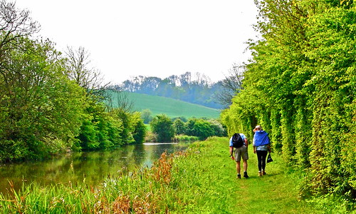
Walking by the Canal
highqualityanimals
SHIELD BUG IMG_0488
lms britishrailways dmu nameboard lnwr lilbourne hawkseye brcw londonmidlandregion class104
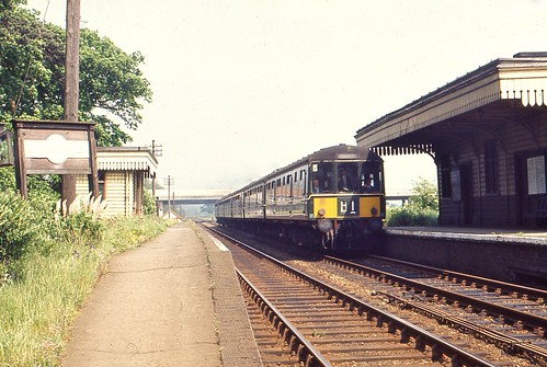
BRCW diesel multiple units at Lilbourne.
365 36558 day58365 365the2015edition 3652015
Project 365/058
365 36553 day53365 365the2015edition 3652015
Project 365/053
rugby 10000 1961 lms britishrailways wcml
10000 again
park uk greatbritain light england sun color colour reflection green water colors yellow canon reflections photography 350d golden pond europe mood glow colours unitedkingdom britain mark country sunny calm canon350d gb april watts 1855mm dslr 2008 f8 tranquil warwickshire thistles gentle rytonpools countrypark ryton teasles bubbenhall markwatts
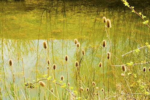
Teasles and Reflections
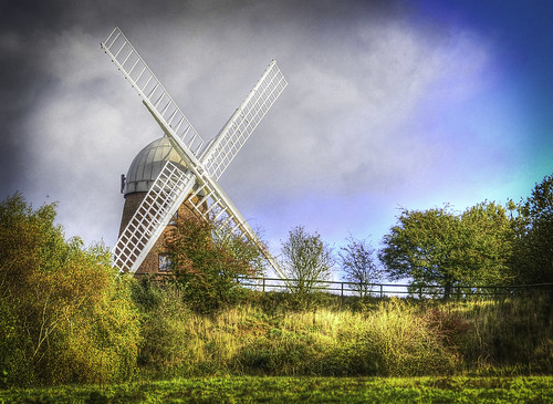
uk greatbritain light england sky cloud brown tree windmill sepia clouds canon landscape photography 350d europe mood moody unitedkingdom britain mark hill canon350d gb watts 1855mm dslr tones tone warwickshire midlands on the napton markwatts
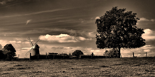
The windmill and the tree
mist tree field canon corn 70200 warwickshire f4l 40d
Dragons Tree
mill windmill nikon wind warwickshire napton discoveryphotos
TOWER MILL, NAPTON
square squareformat normal iphoneography instagramapp uploaded:by=instagram foursquare:venue=4e27d9f2b61c9d28cbeebc67
Blot On The Landscape
Sundown Draycote
sunset sunlight field grass golden nikon dusk grasses hdr stalks eveninglight photomatixpro brandonmarshes d5100 afs55300dx
Golden Grasses
Crimson Sky 2
uploaded:by=flickrmobile flickriosapp:filter=nofilter
2013.06.12
park uk longexposure sunset england water speed canon project eos is exposure village slow time unitedkingdom rugby united tripod country kingdom reservoir september severn timeexposure trent shutter remote redsky usm 1785mm efs 3rd warwickshire 52 slowshutterspeed draycote countrypark englishvillage dunchurch f456 draycotewater 2013 canonefs1785mmf456isusm 400d severntrentwater canoneos400d project52 rugbywarwickshire dunchurchwarwickshire dunchurchvillage september2013 draycotewaterreservoir project522013 3rdseptember2013 3sept13
Sunset over Draycote Water (36/52)
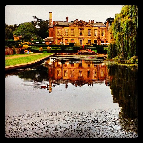
park sunset sky cloud lake reflection tree water abbey square evening country squareformat coventry coombe hefe iphoneography instagramapp uploaded:by=instagram
The Abbey
2015-11-04_4178
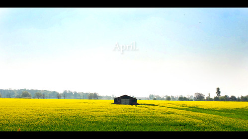
rape flower
world uk greatbritain trees england sky panorama green windmill clouds canon landscape photography 350d war europe view unitedkingdom britain mark pano wwii scene panoramic canon350d gb fields watts 1855mm coventry dslr blitz napton naptononthehill markwatts
Panoramic View from Napton-on-the-Hill
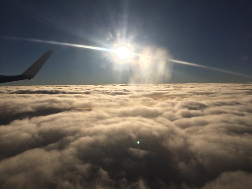
Flying over France to foggy Milan.
flickr claycoton england unitedkingdom
Wind Farm
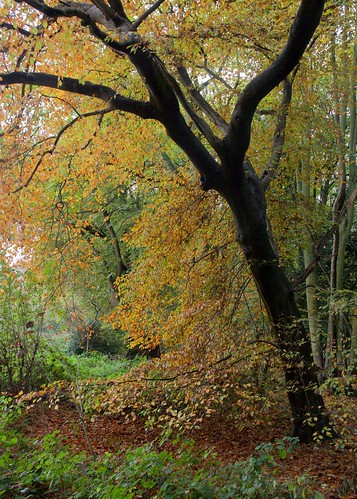
trees green abbey leaves square leaf woods squareformat coventry coombe hefe iphoneography instagramapp uploaded:by=instagram
Walk through the woods
uk england warwickshire strettonunderfosse
Johnson's Bridge
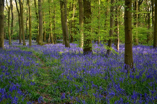
bluebells
Cawston Wood