Elevation of Rugby CV21 2NH, UK
Location: United Kingdom > England > Warwickshire >
Longitude: -1.2690813
Latitude: 52.3791621
Elevation: 93m / 305feet
Barometric Pressure: 100KPa
Elevation Map:
Satellite Map:
Related Photos:
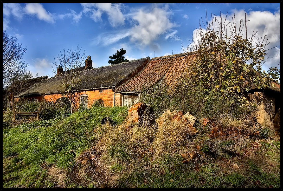
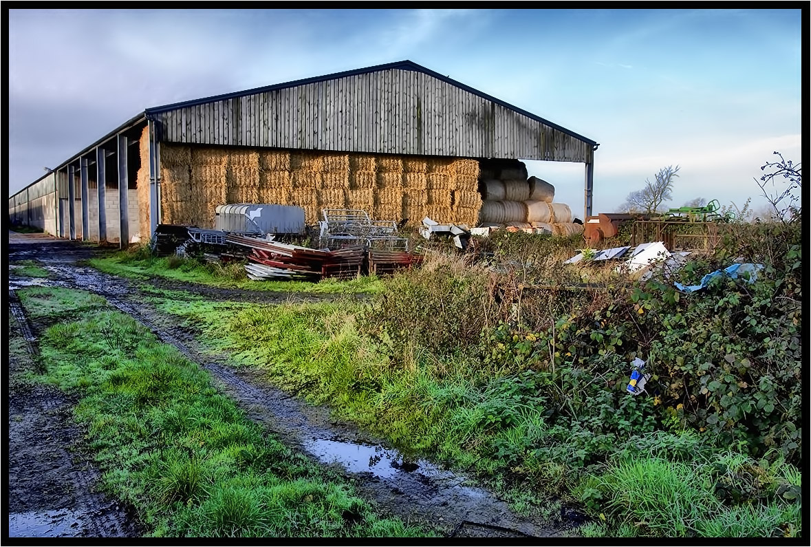
The Old Farm.

Chaffinch - I really could do without this!

Nature - Pigeon - Columbidae.
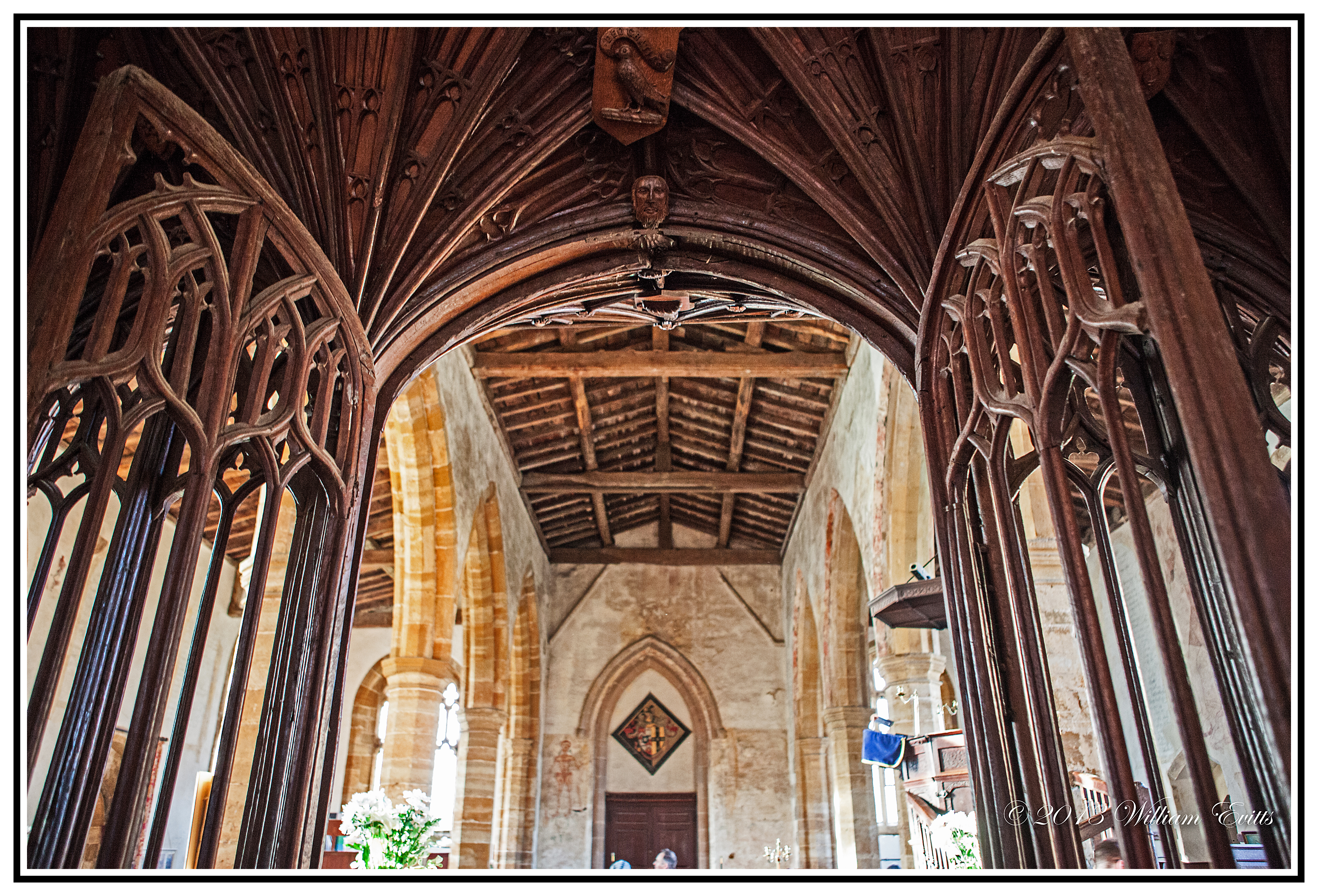
History - Ancient Roof Timbers & Rood Screen in Church of Blessed Virgin Mary & St.- Leodegarius Ashby St Ledgers, England.
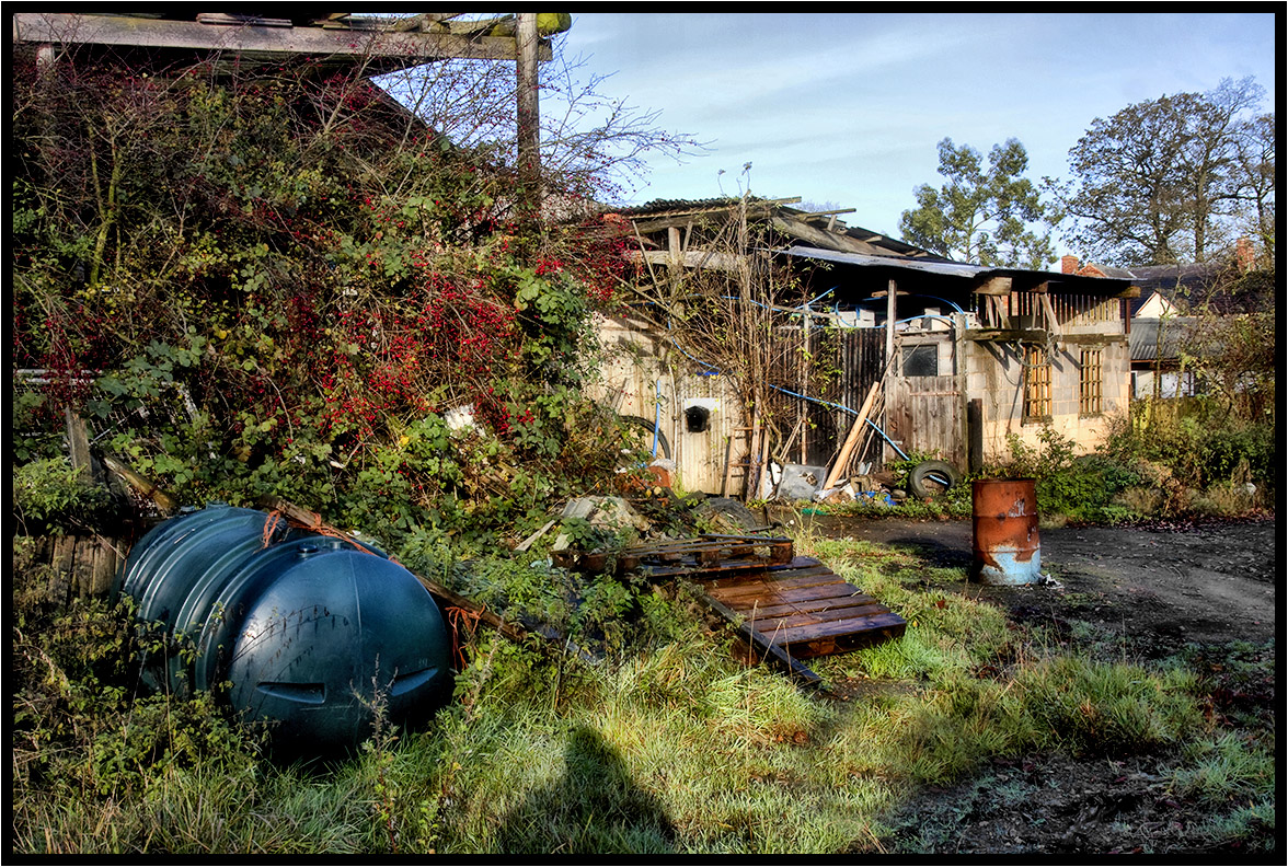
The Blue Plastic Pipe.
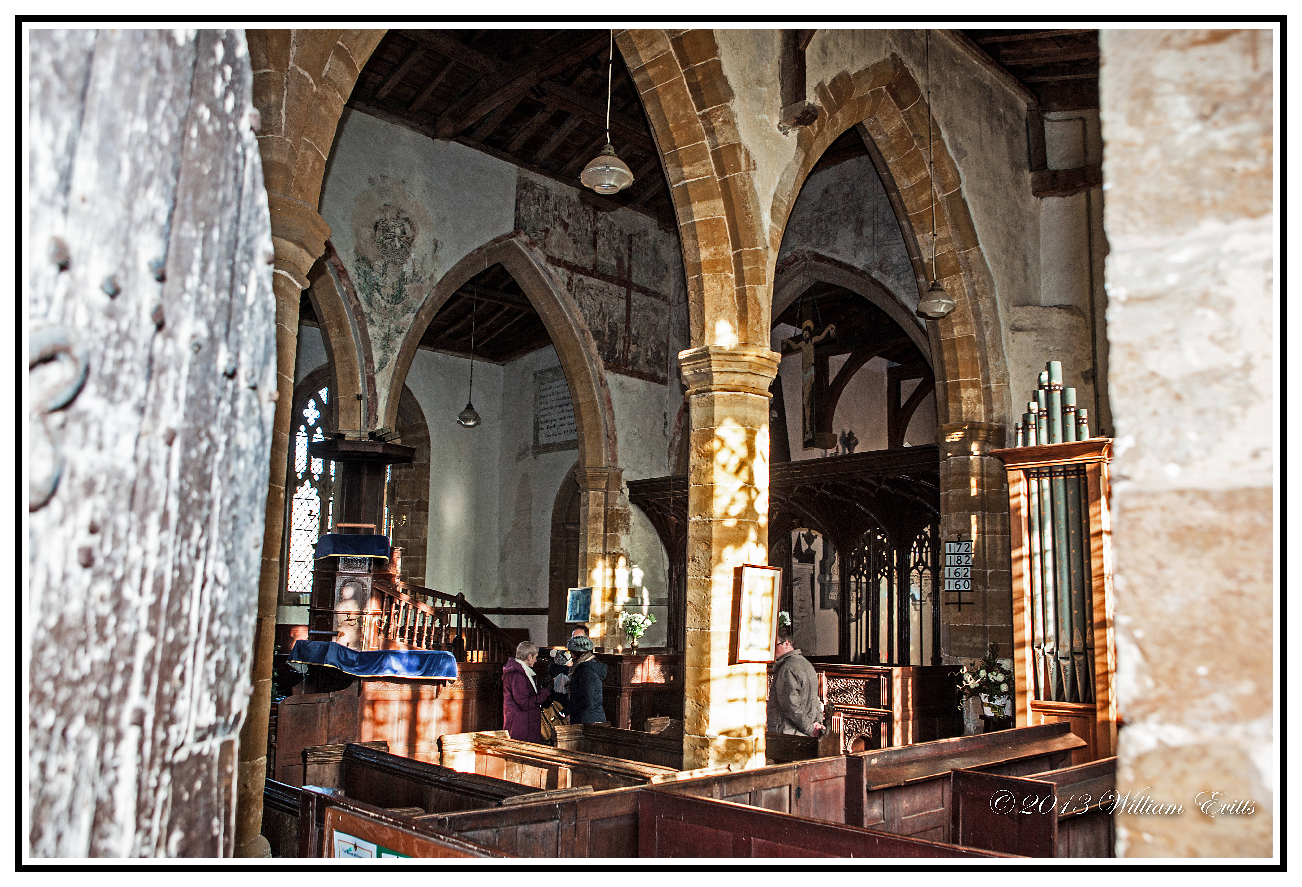
History - View through door showing medieval wall paintings- Church of Blessed Virgin Mary & St.- Leodegarius Ashby St Ledgers, England.
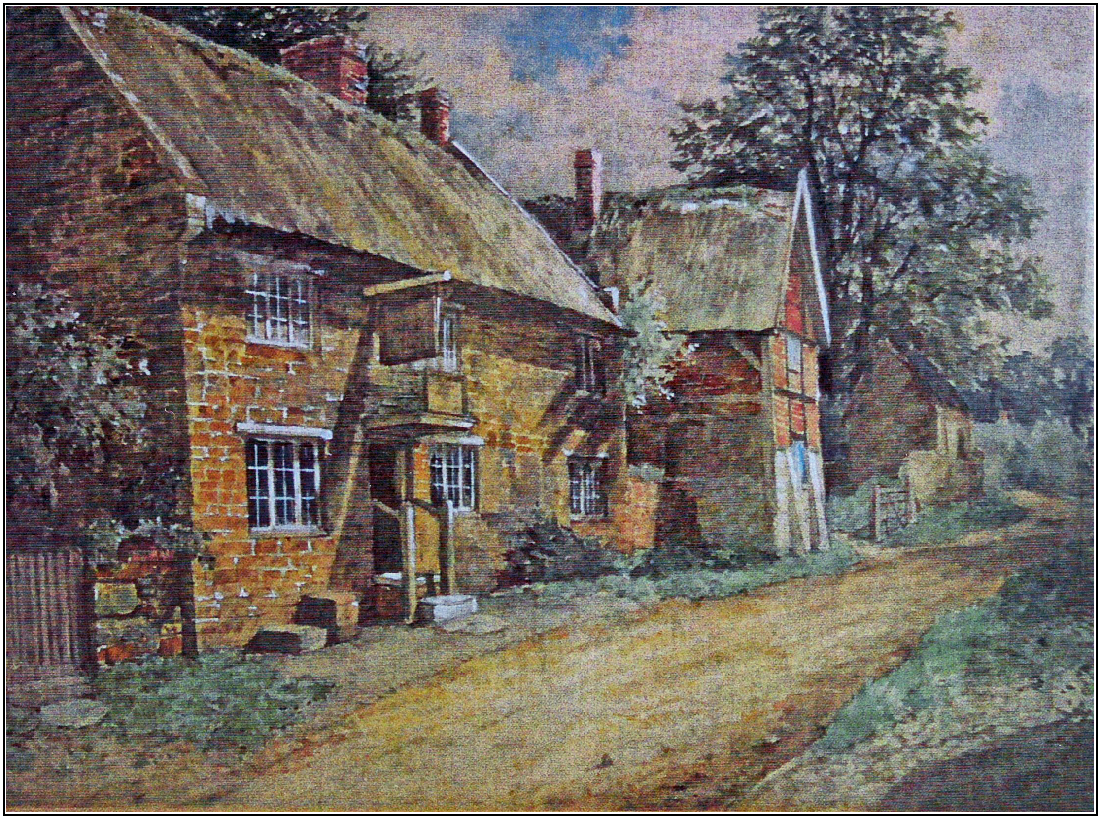
England. Painting of the Red Lion Inn, Kilsby, Northamptonshire, England - circa 1800's. Artist Unknown.

My Friend the Visitor
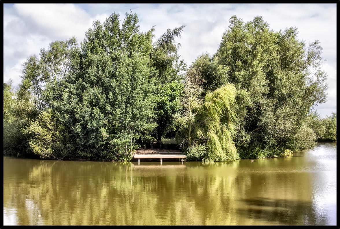
The lake

St. Marie's R.C. Church, Rugby.

Cracks Hill

St Peter's Church, Dunchurch
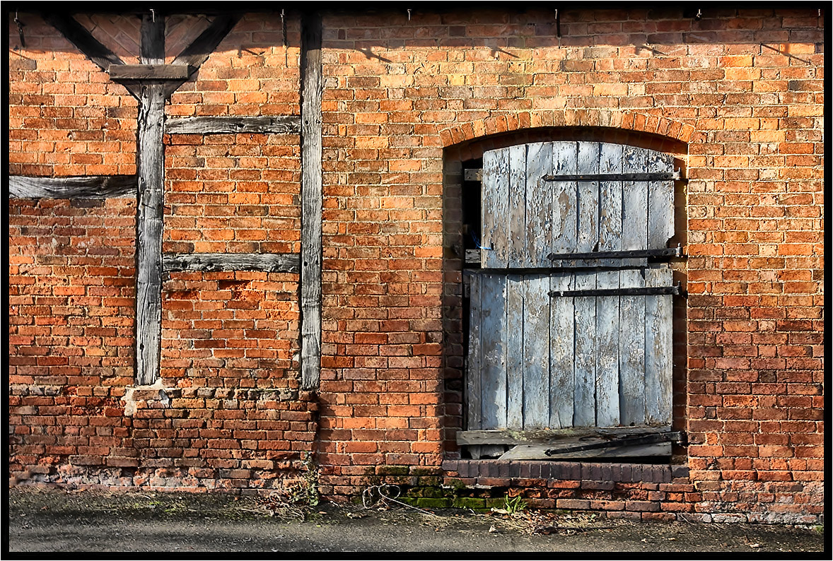
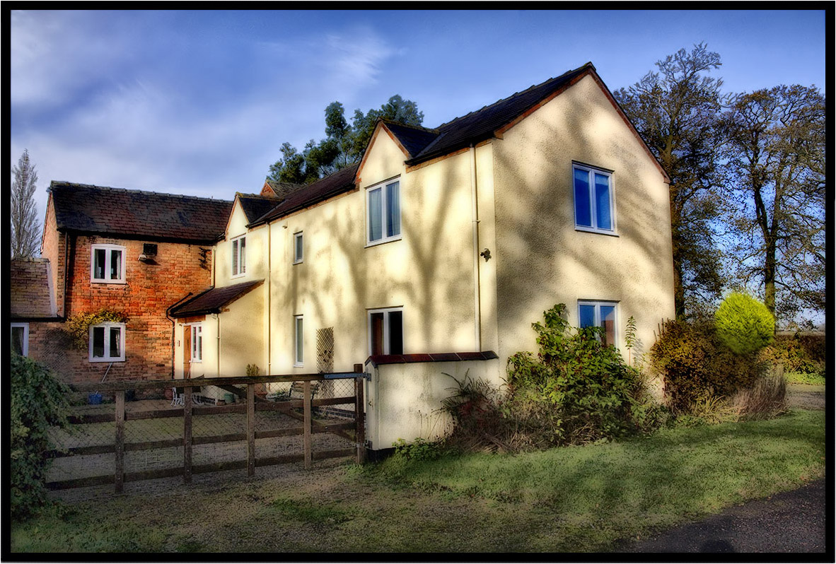
Brick and Timber.

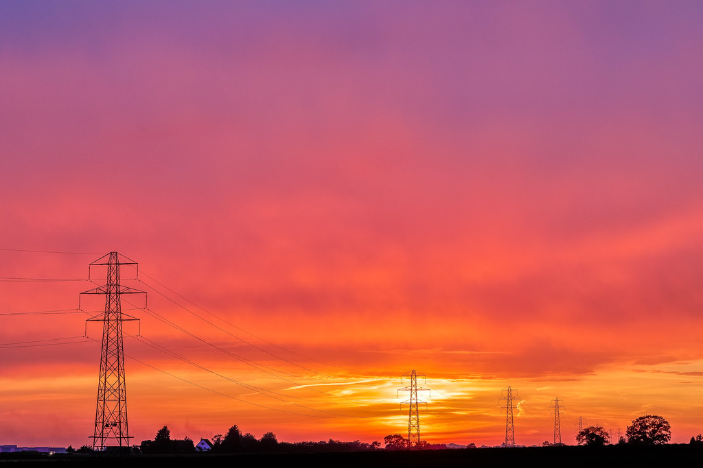
Happy Weekend Flickr Friends
Two Crows.

Hillmorton Locks

Just a view from the Park
As it is.

Back to Hillmorton Locks
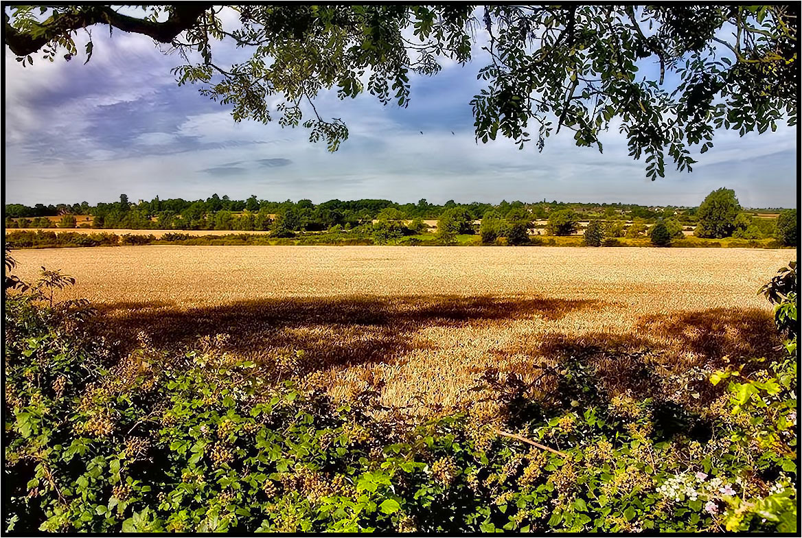
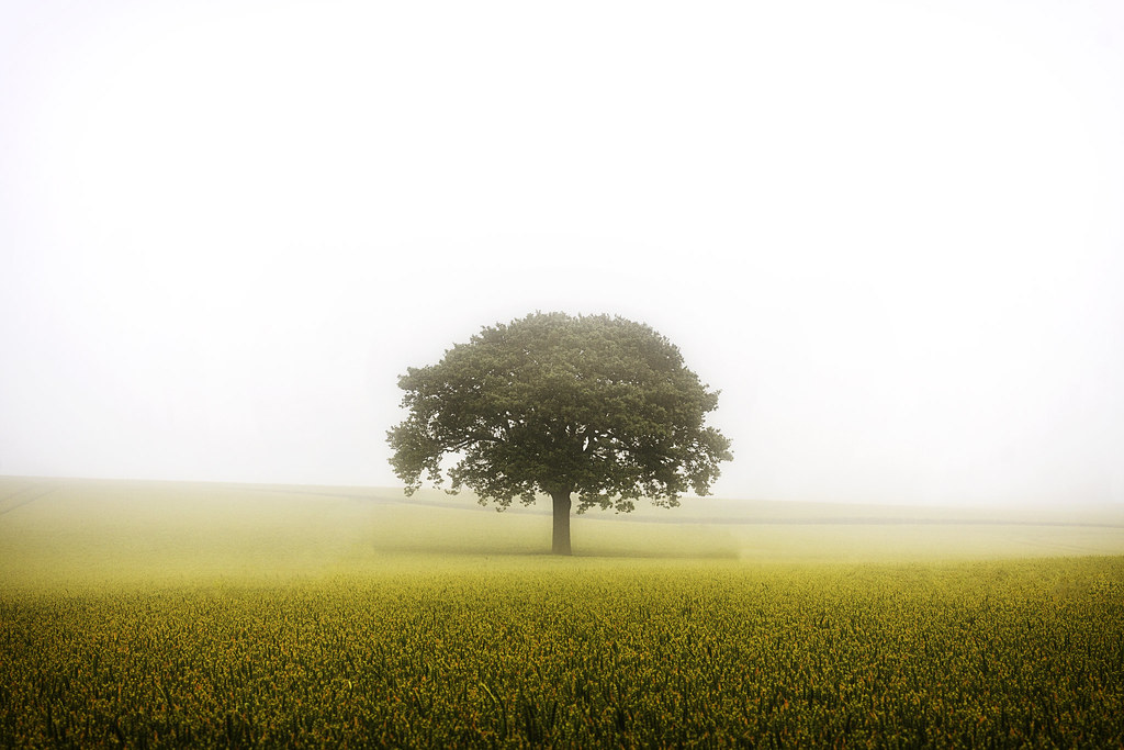
Tree Shadows.

View Full Size to see the Beauty - Gable End of Old Building showing beautiful Golden Brown Northamptonshire Sandstone in the Sunlight.
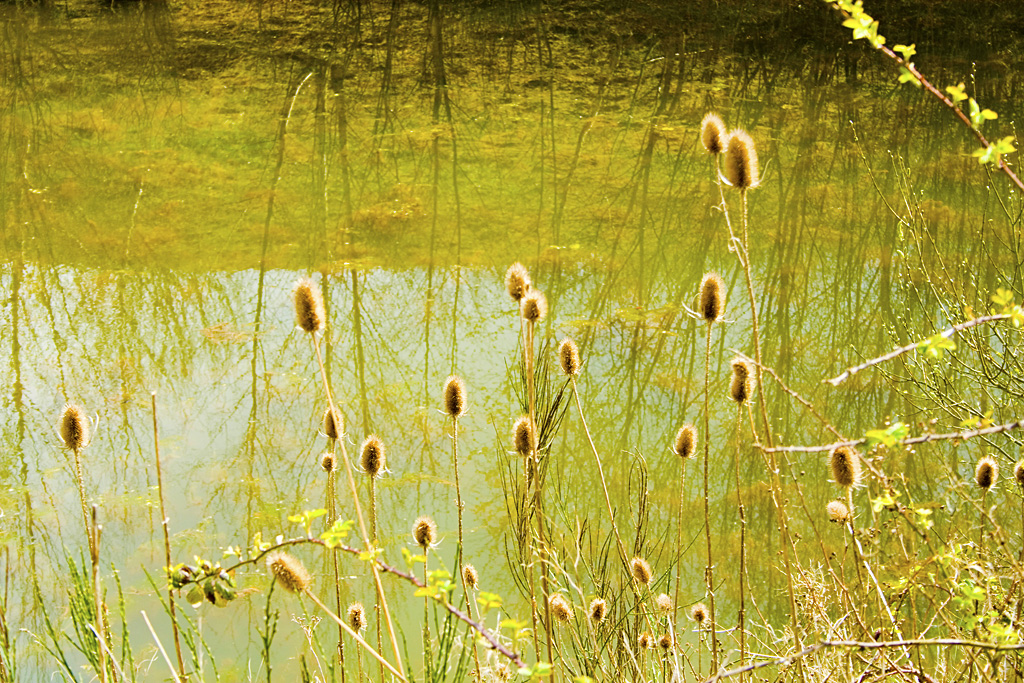
Teasles and Reflections
Dragons Tree
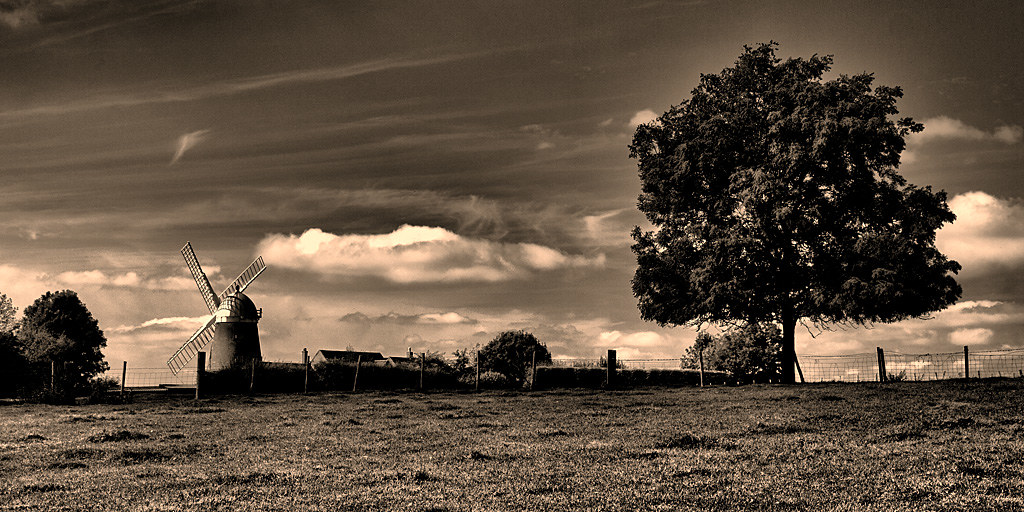
The windmill and the tree
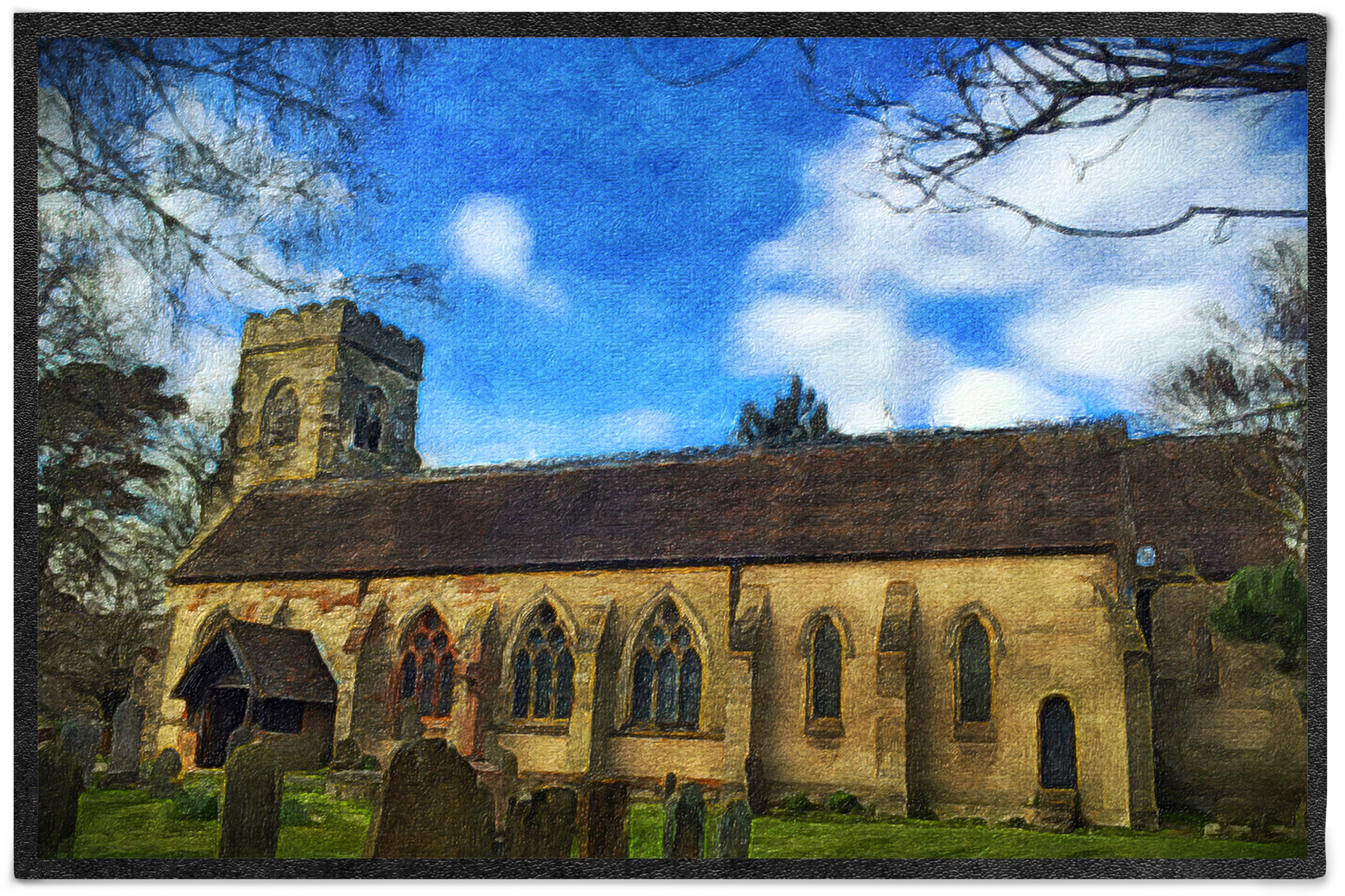
Day 85 of 366 - The Church of St Michael!
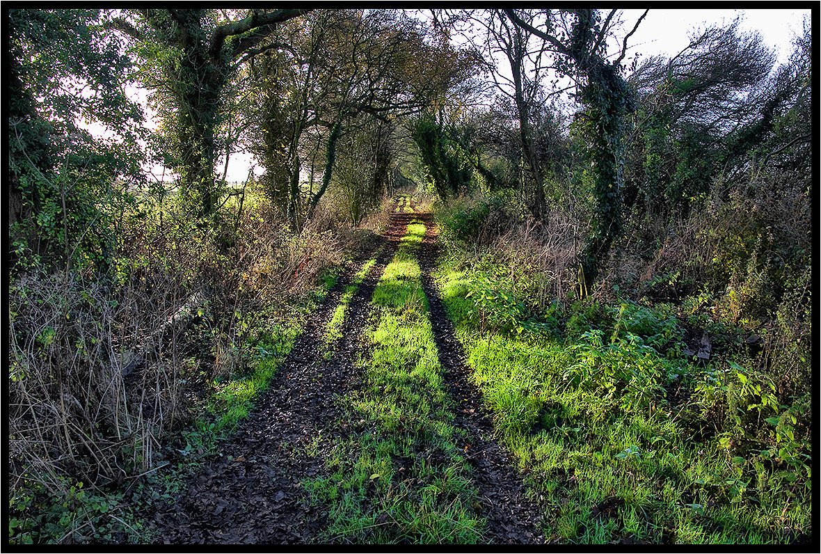
The Old Track.

Almost there after a tiring day
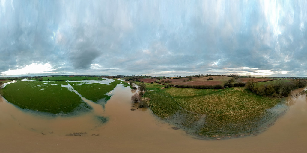
River Leam In Flood 2nd April 2018
Brinklow Canal 24th May 2018
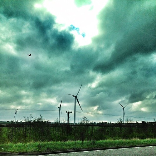
20150504_Lining up to the Cloud Burst
I'll take you on a journey with me.
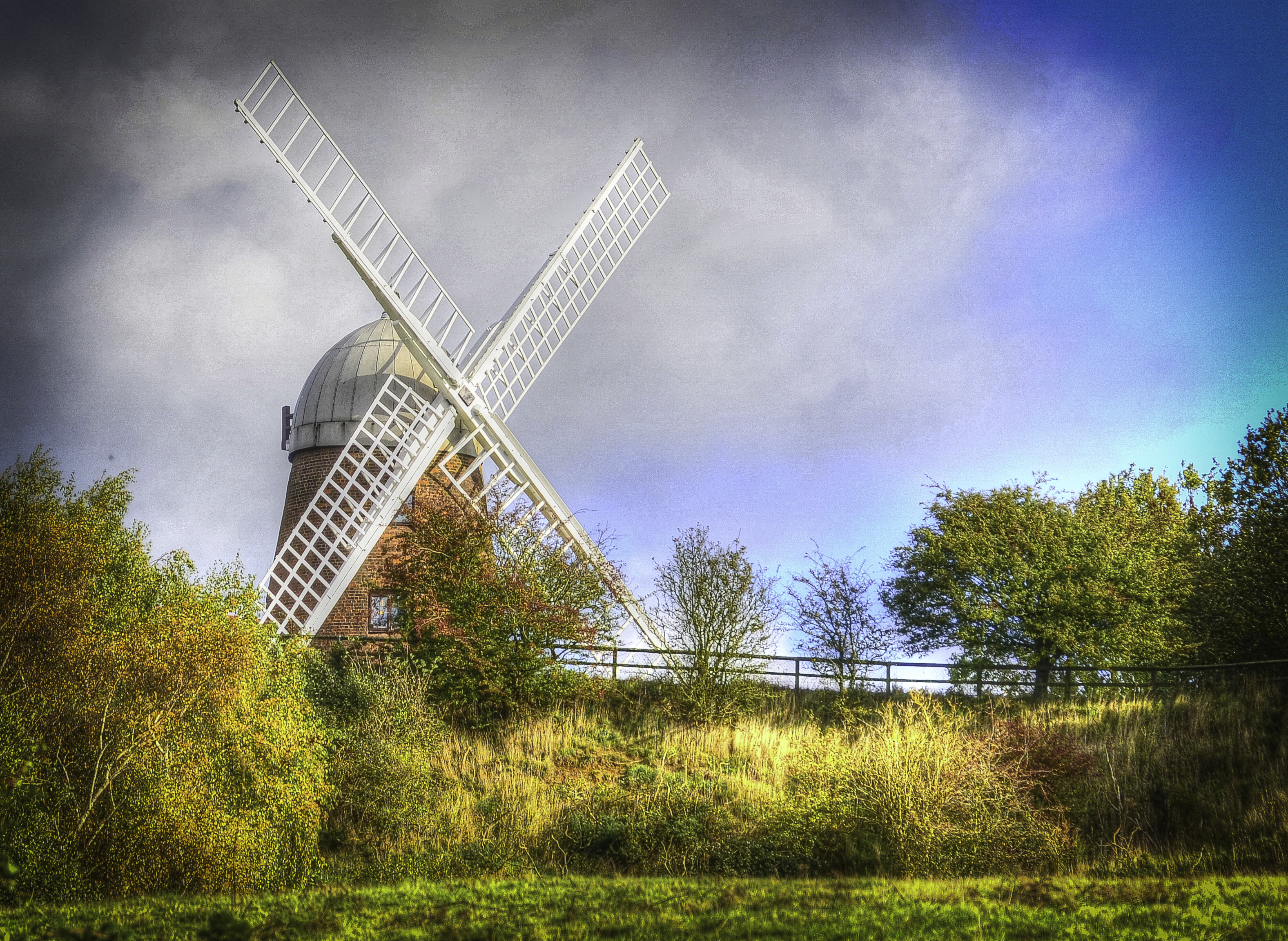
TOWER MILL, NAPTON
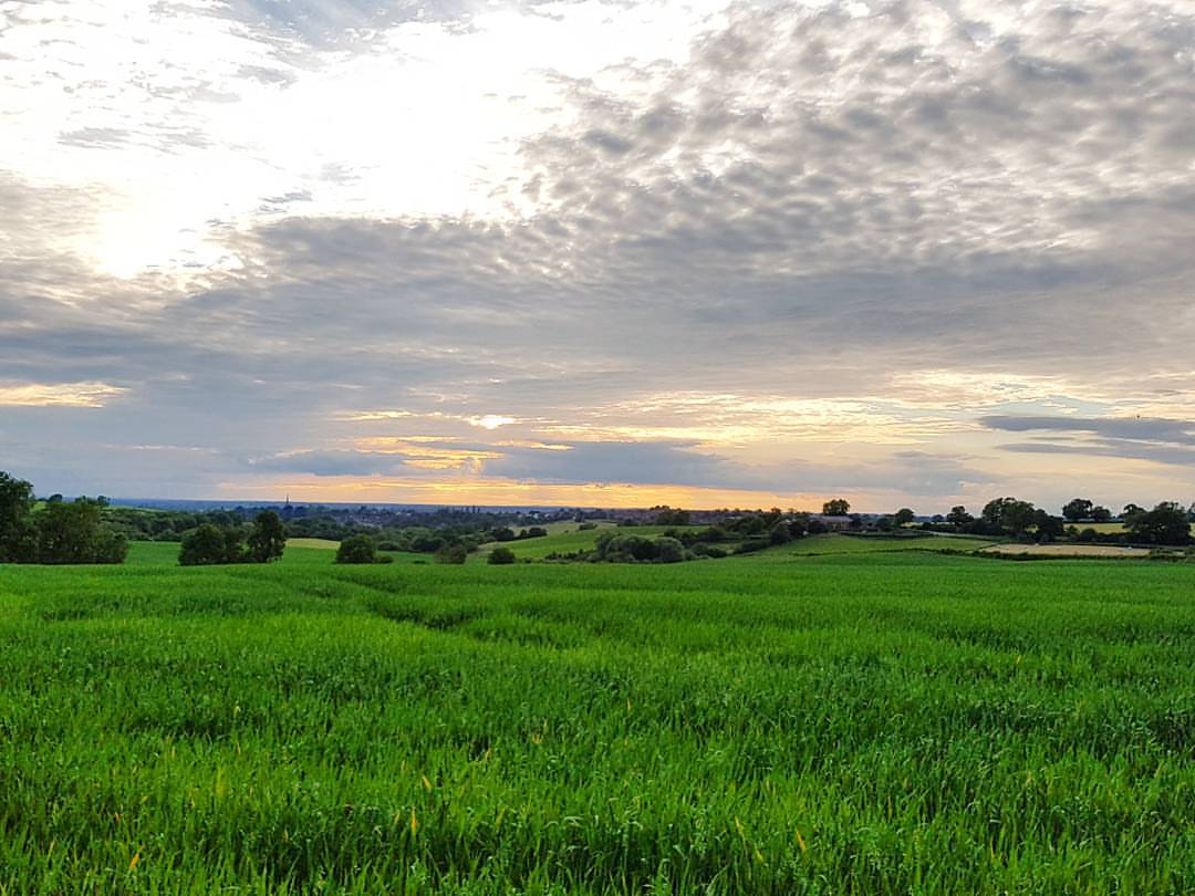
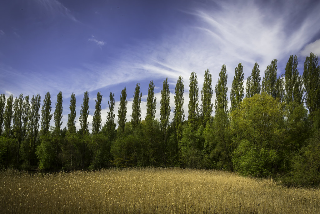
Beautiful Northamptonshire countryside

Winter on the Canal
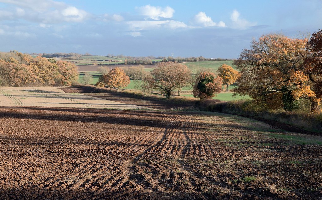
2018-11-12_3219
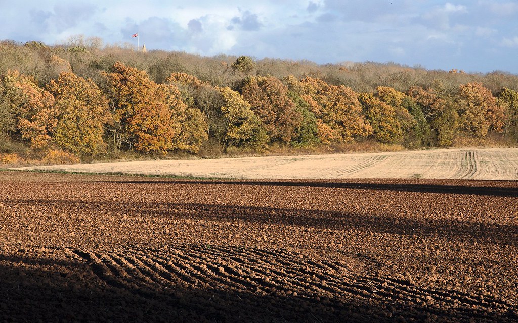
2018-11-12_3220
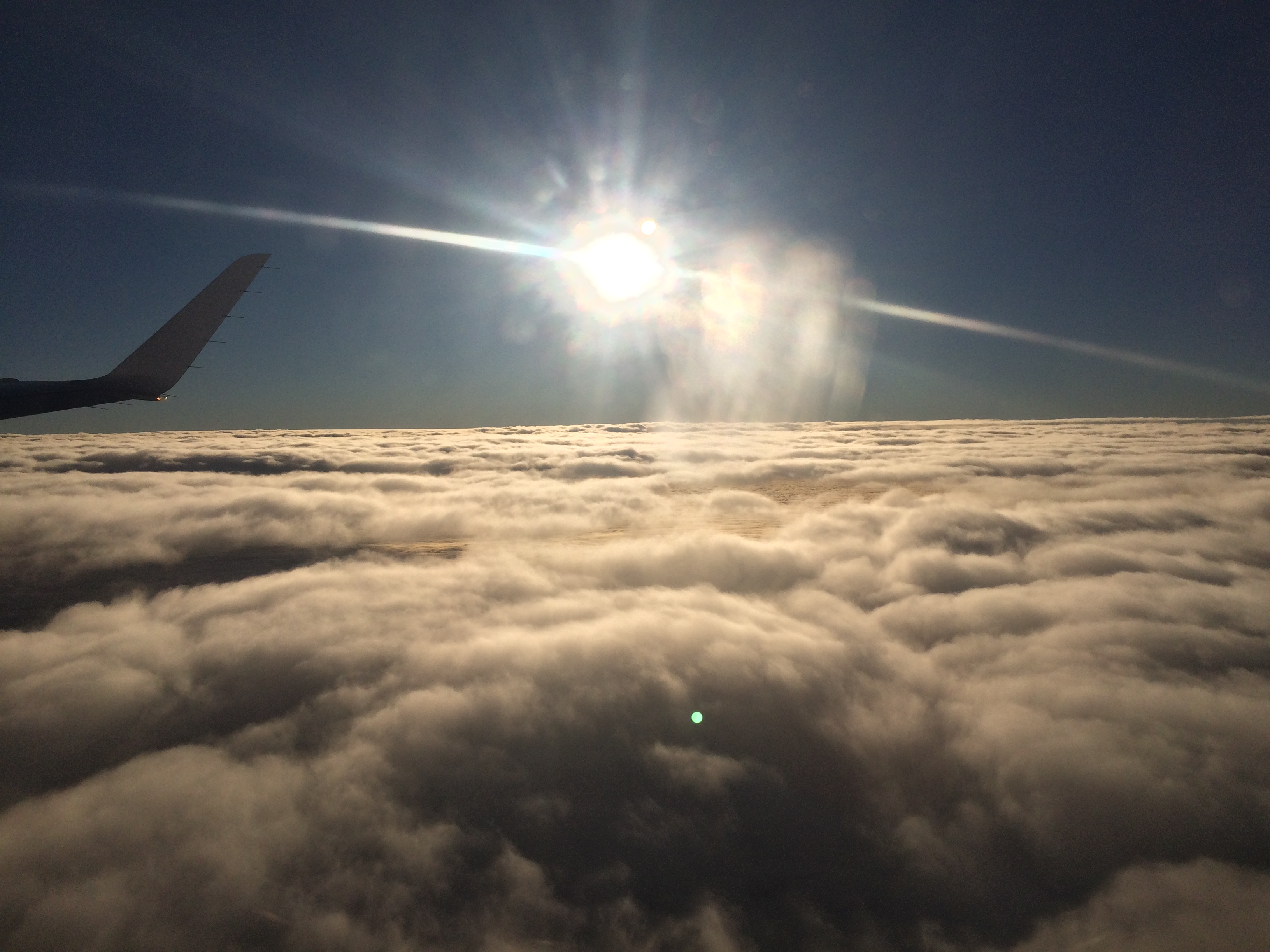
Flying over France to foggy Milan.
Day 112
Topographic Map of Rugby CV21 2NH, UK
Find elevation by address:

Places near Rugby CV21 2NH, UK:
Parnell Close
Rugby
Pope Street
Swift Park
Parkend
Reservoir Road
Cv22 6hy
Brownsover
Honeysuckle Cottage
Monks Kirby
England
Nn6 7gz
Lutterworth
Cv8 3hu
Kingsbury House
Stanford On Avon
Staverton
Lutterworth Road
Nn11 0gh
Gilmorton
Recent Searches:
- Elevation of Corso Fratelli Cairoli, 35, Macerata MC, Italy
- Elevation of Tallevast Rd, Sarasota, FL, USA
- Elevation of 4th St E, Sonoma, CA, USA
- Elevation of Black Hollow Rd, Pennsdale, PA, USA
- Elevation of Oakland Ave, Williamsport, PA, USA
- Elevation of Pedrógão Grande, Portugal
- Elevation of Klee Dr, Martinsburg, WV, USA
- Elevation of Via Roma, Pieranica CR, Italy
- Elevation of Tavkvetili Mountain, Georgia
- Elevation of Hartfords Bluff Cir, Mt Pleasant, SC, USA