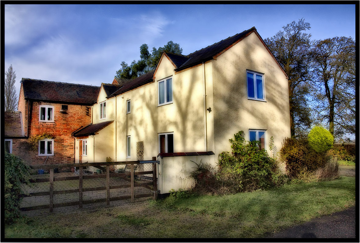
Elevation of Honeysuckle Cottage, Bond End, Monks Kirby, Rugby CV23 0RD, UK
Location: United Kingdom > England > Warwickshire > Monks Kirby >
Longitude: -1.3176596
Latitude: 52.4452271
Elevation: 102m / 335feet
Barometric Pressure: 100KPa
Elevation Map:
Satellite Map:
Related Photos:
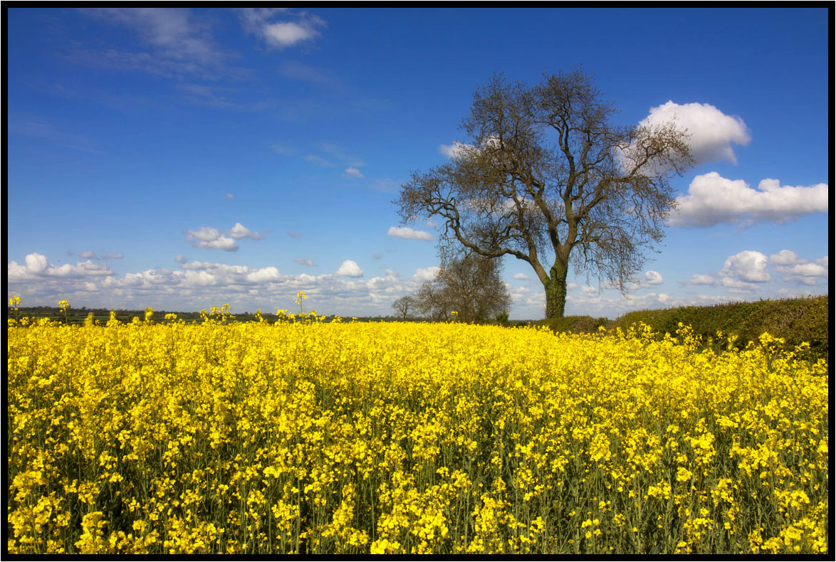
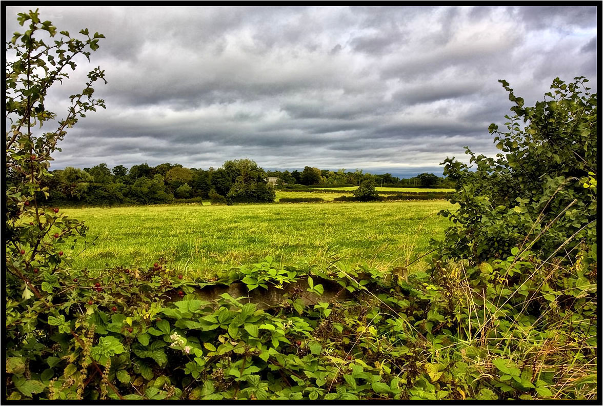
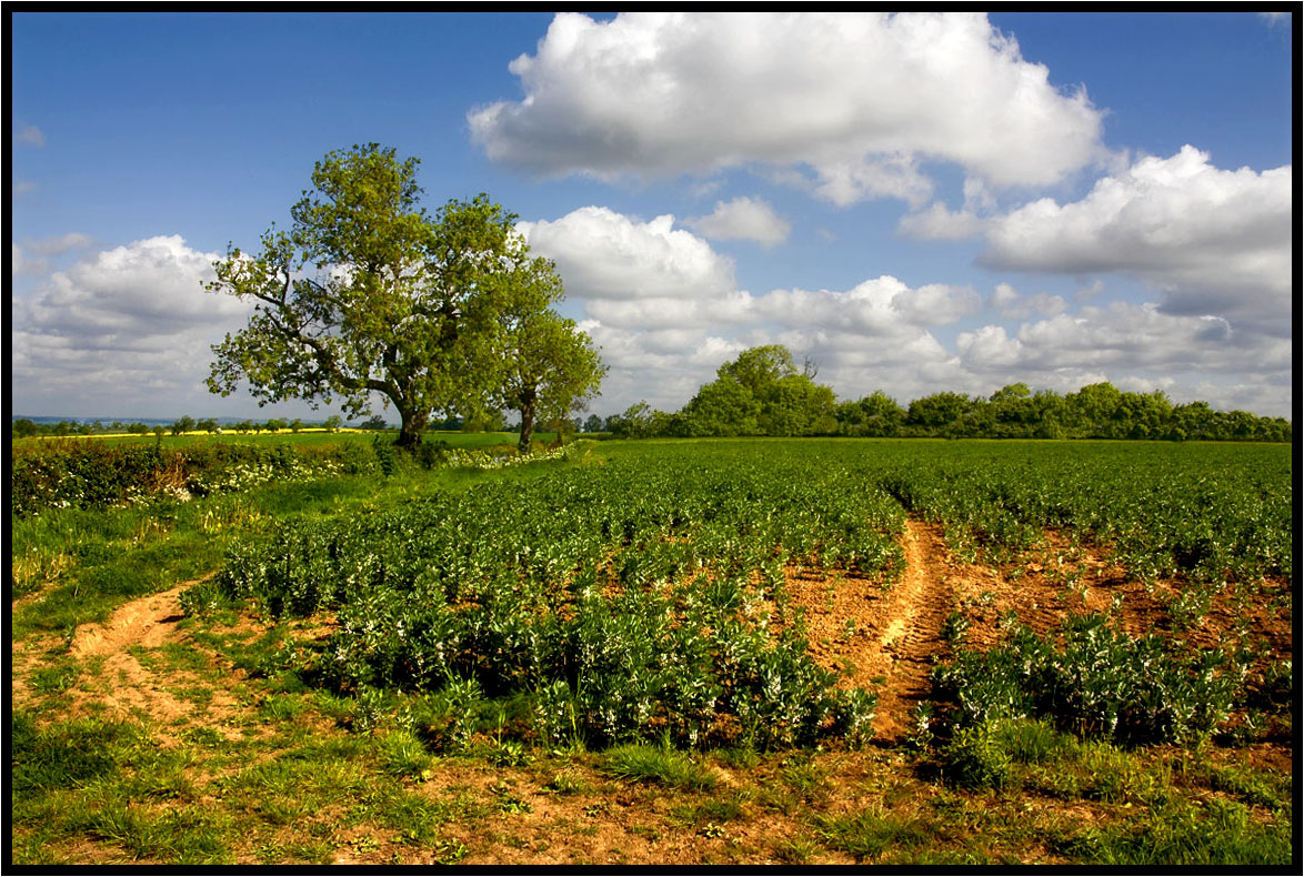
That field again.
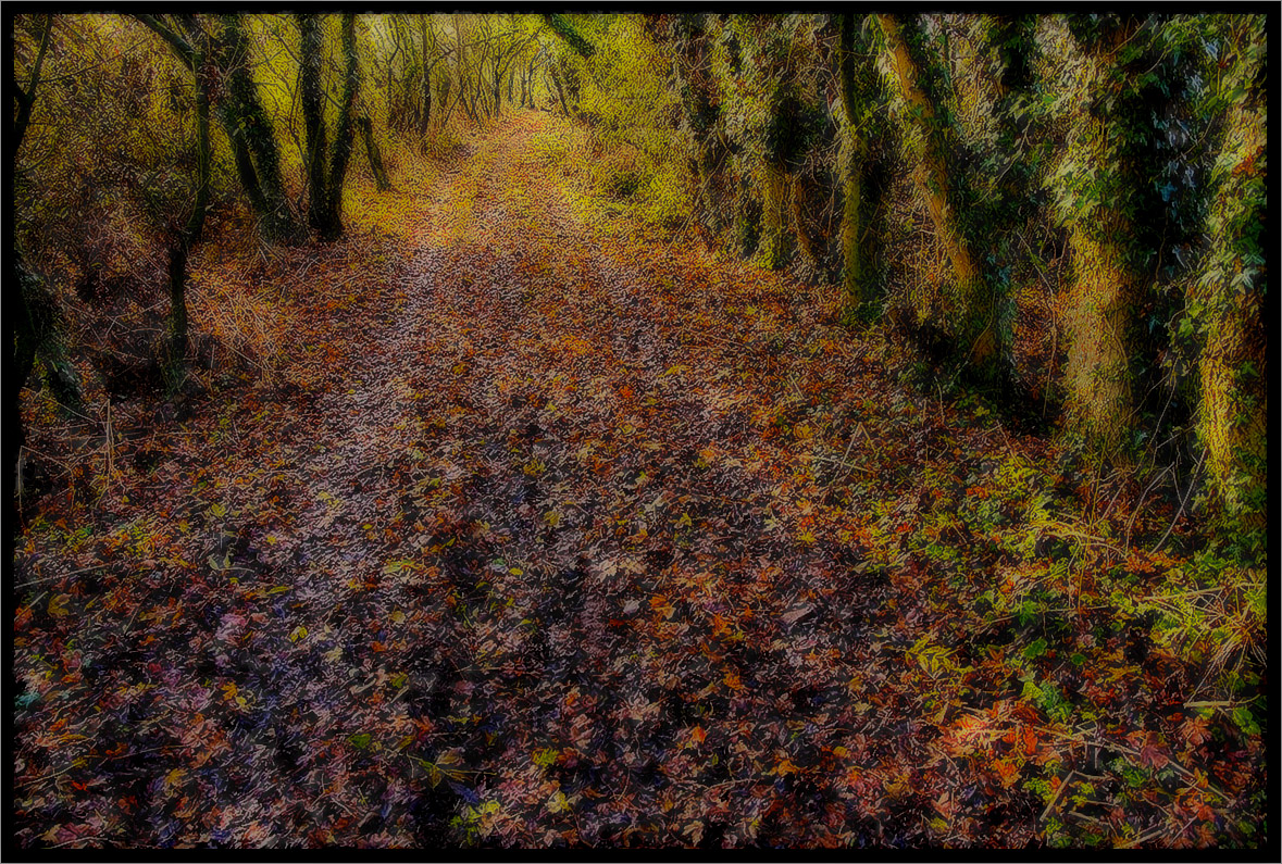
The Path.
Under The Clouds.
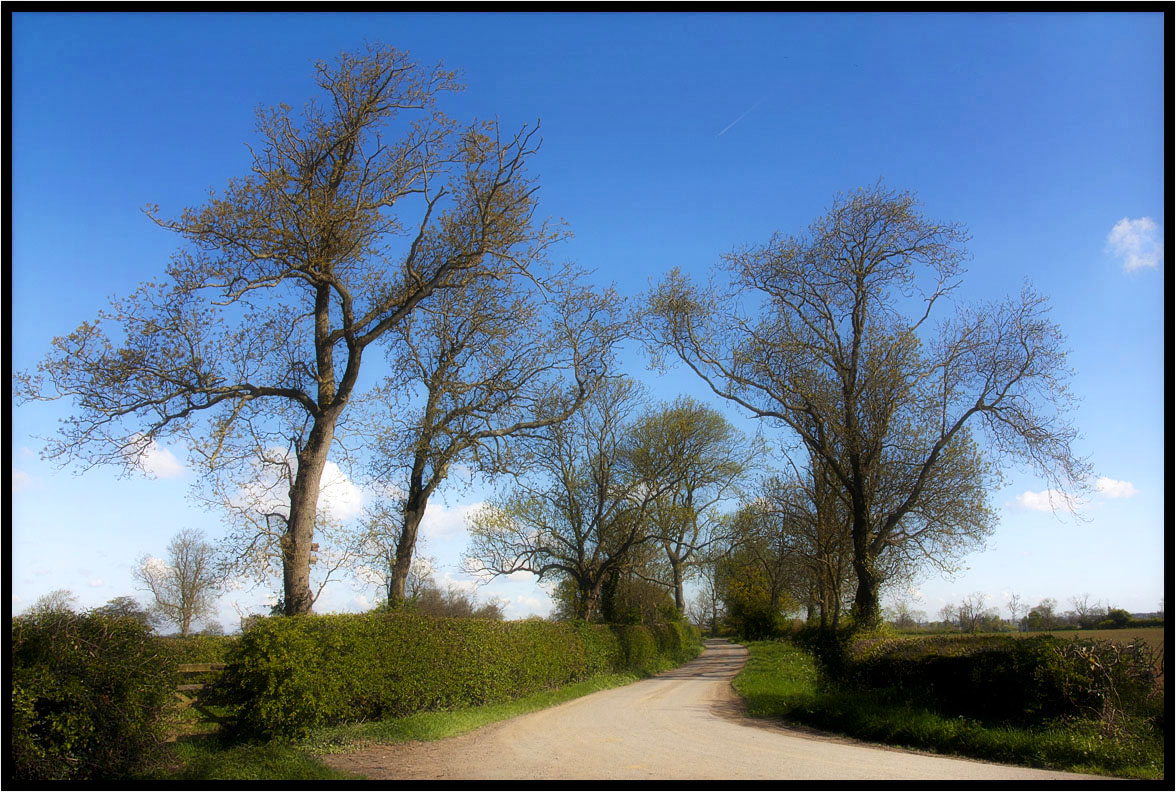
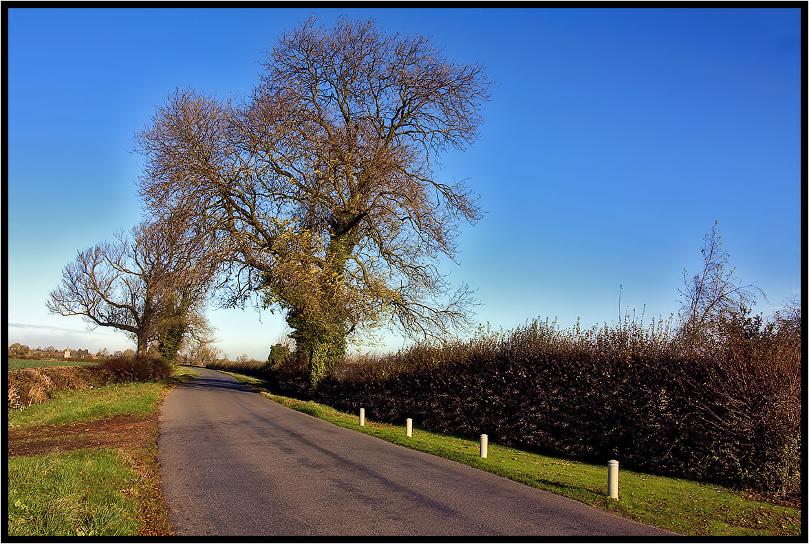
Country Lane.
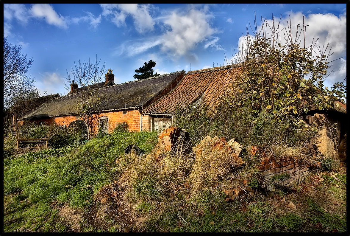
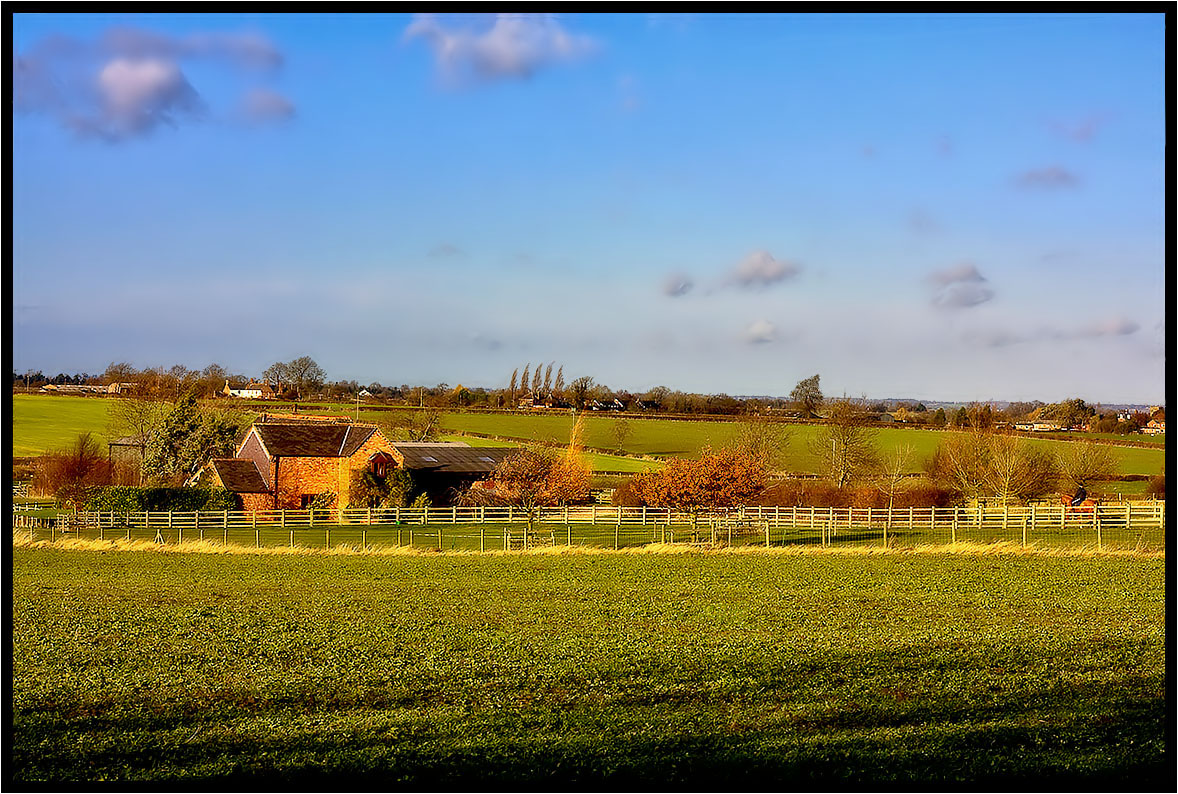
The Old Farm.
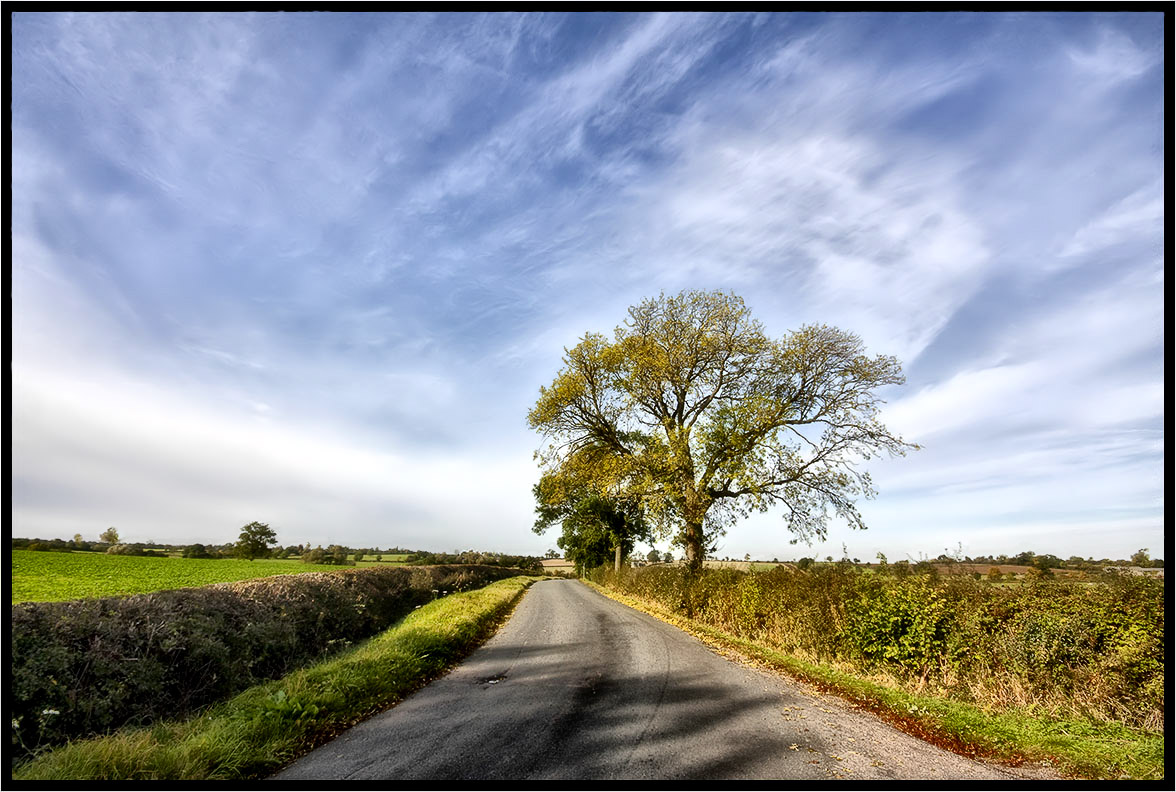
Country Lane
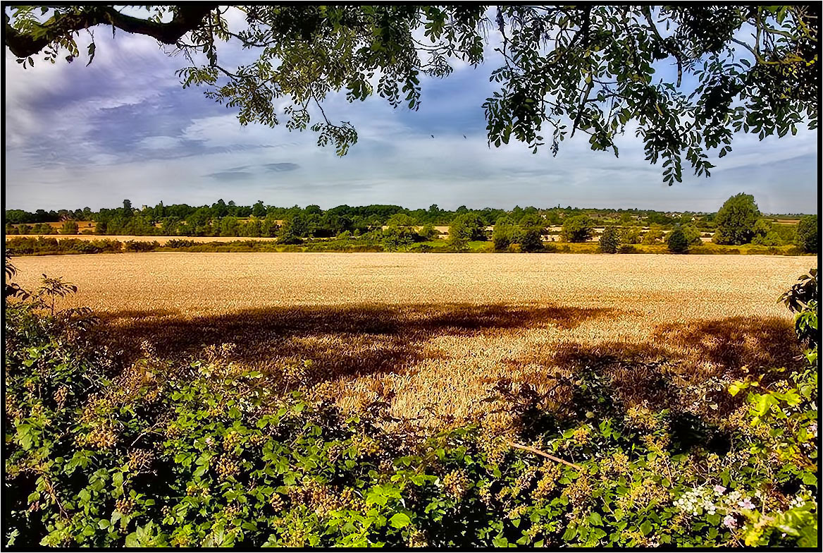
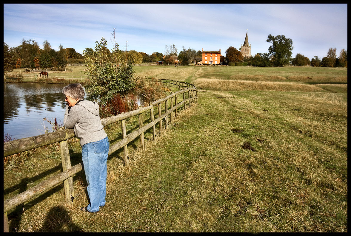
Across the fields.
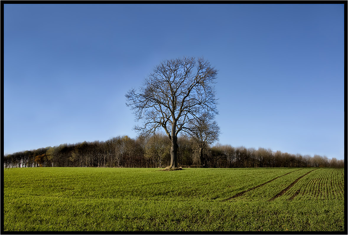
The Prevailing Wind.

The Winter Fence Line: Earlsdon Coventry West Midlands UK
Tree Shadows.
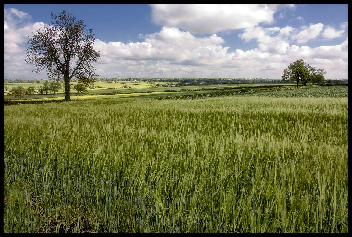
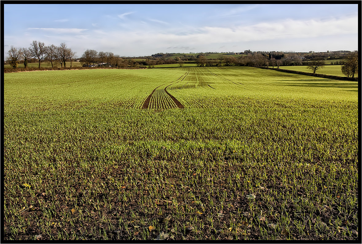
The Young Crop.
Two Crows.
The Trees.
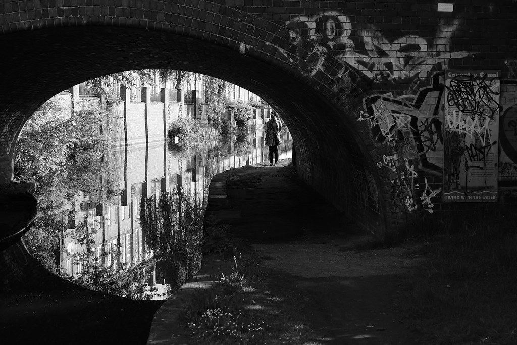
Urban Palette: Cash's Lane Bridge Whitley Coventry Canal West Midlands UK
Katie Dee and a horse.

Millenium Place
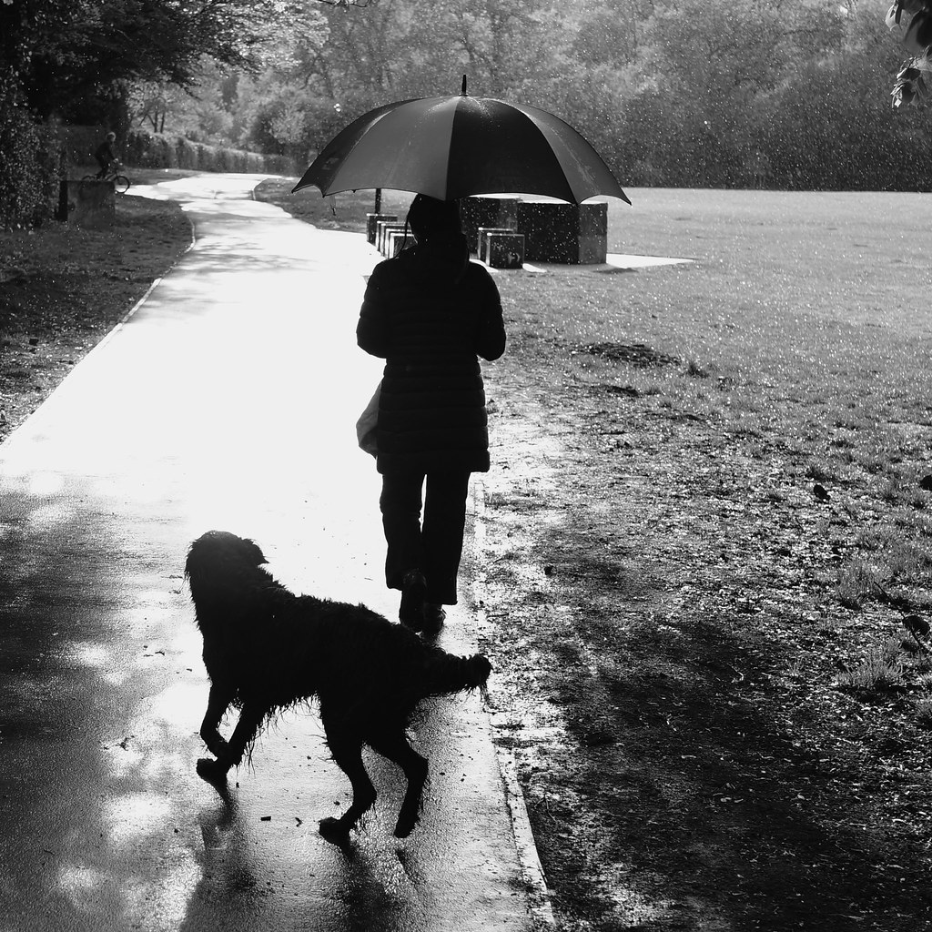
Sunshower: War Memorial Park Earlsdon Coventry West Midlands UK
The Curved Road.
Day 40 of 366 - Hill Top!

Morning News: Parkside Coventry West Midlands UK

Baptistry Beauty
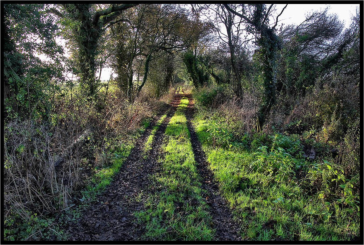
A Footpath.
A Light Breeze.

Cracks Hill
The Footpath Gate.

Britannia Bridge Sutton Stop.

Coventry Canal
The lady on a horse.
Barley Lines.
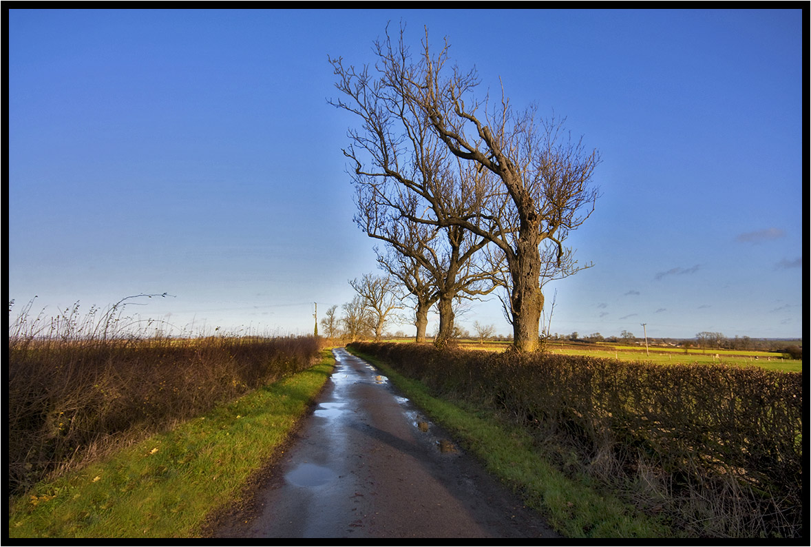
The Old Track.

Day 153 of 366 - Wind in the Willow!
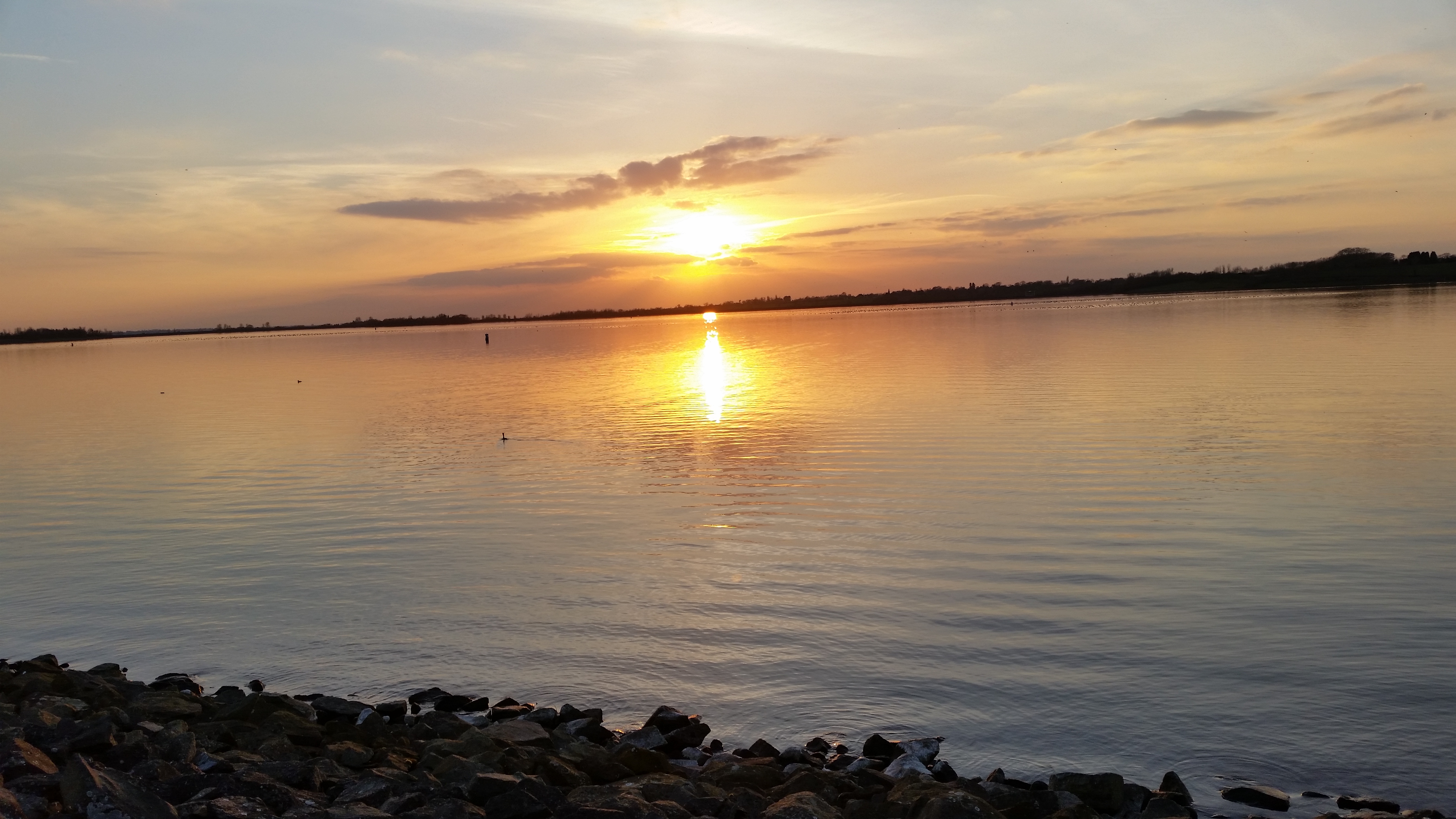
Sunset over Draycote Water on Friday whilst doing a timelapse
Two Green Un's.
The empty field.
Topographic Map of Honeysuckle Cottage, Bond End, Monks Kirby, Rugby CV23 0RD, UK
Find elevation by address:

Places near Honeysuckle Cottage, Bond End, Monks Kirby, Rugby CV23 0RD, UK:
Monks Kirby
Swift Park
Pope Street
Cv21 2nh
Parkend
Parnell Close
Burbage
Brownsover
Rugby
Le10 2jh
Reservoir Road
Le10 2as
Cv8 3hu
Cv22 6hy
2 Castle St, Hinckley LE10 1DB, UK
Hinckley
Lutterworth
Le9 8dg
Earl Shilton
4 George Foster Cl, Earl Shilton, Leicester LE9 7RR, UK
Recent Searches:
- Elevation of Lumagwas Diversified Farmers Multi-Purpose Cooperative, Lumagwas, Adtuyon, RV32+MH7, Pangantucan, Bukidnon, Philippines
- Elevation of Homestead Ridge, New Braunfels, TX, USA
- Elevation of Orchard Road, Orchard Rd, Marlborough, NY, USA
- Elevation of 12 Hutchinson Woods Dr, Fletcher, NC, USA
- Elevation of Holloway Ave, San Francisco, CA, USA
- Elevation of Norfolk, NY, USA
- Elevation of - San Marcos Pass Rd, Santa Barbara, CA, USA
- Elevation of th Pl SE, Issaquah, WA, USA
- Elevation of 82- D Rd, Captain Cook, HI, USA
- Elevation of Harlow CM20 2PR, UK