Elevation of Woolfolk Rd, Munford, AL, USA
Location: United States > Alabama > Talladega County > Munford >
Longitude: -85.998583
Latitude: 33.4176659
Elevation: 221m / 725feet
Barometric Pressure: 99KPa
Elevation Map:
Satellite Map:
Related Photos:
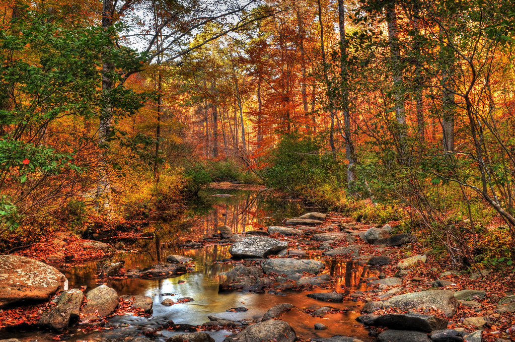
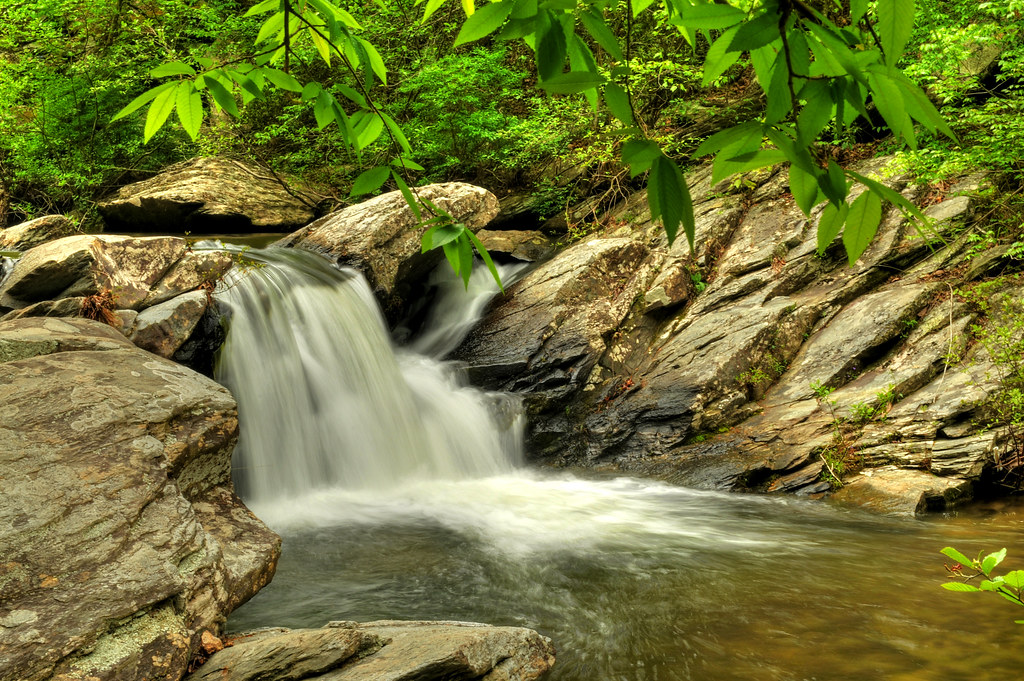
Cheaha Creek
View from the top of the waterfall
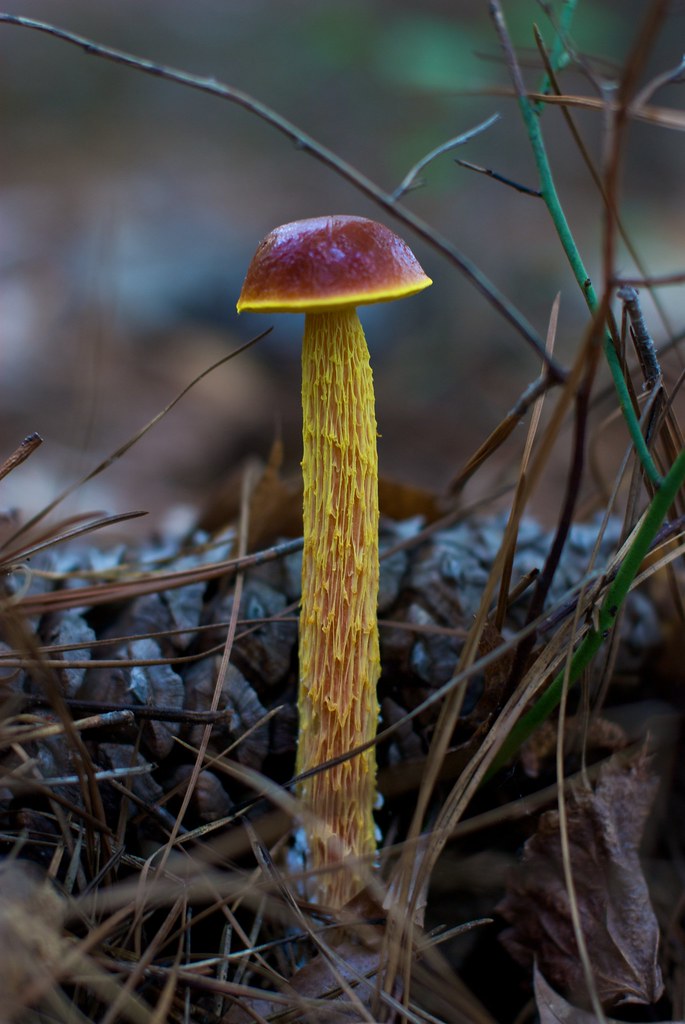
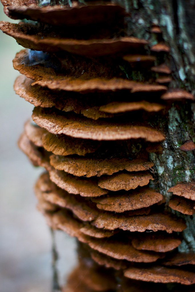
Fungus Among Us
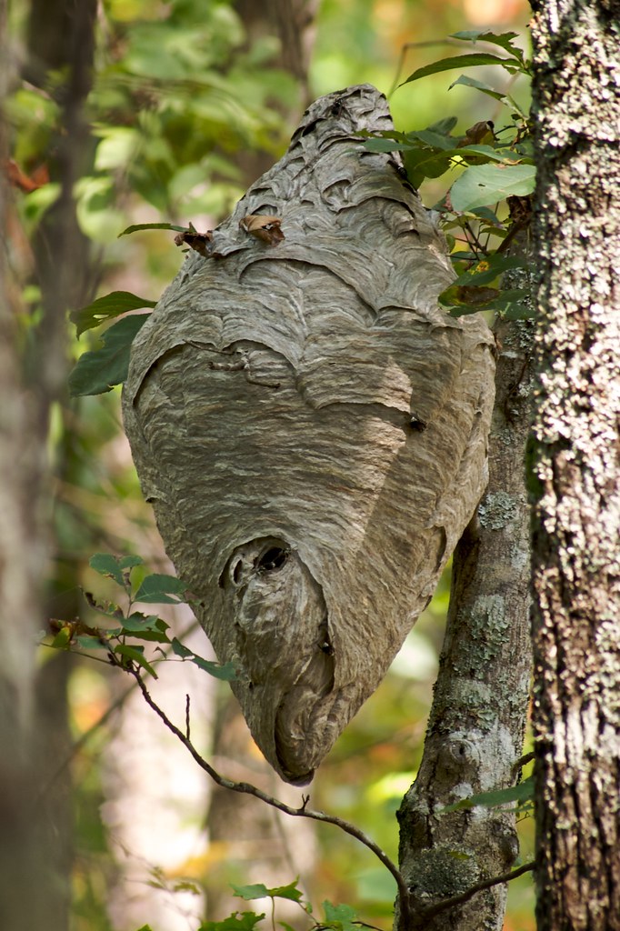
No Honey Here
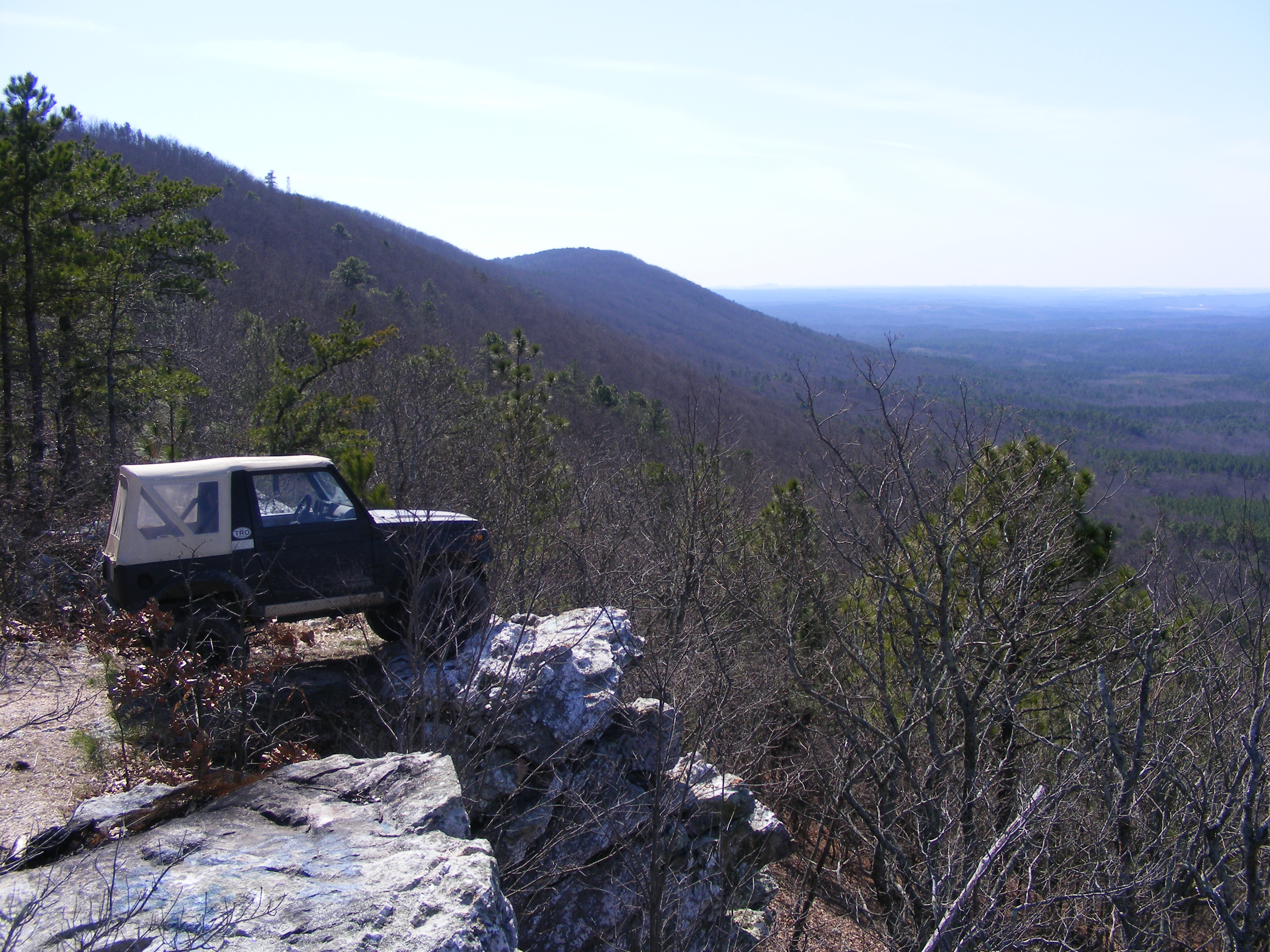
parking spot with a view
Fairy Staircase
Top of The World
View from Condo Balcony at Talladega
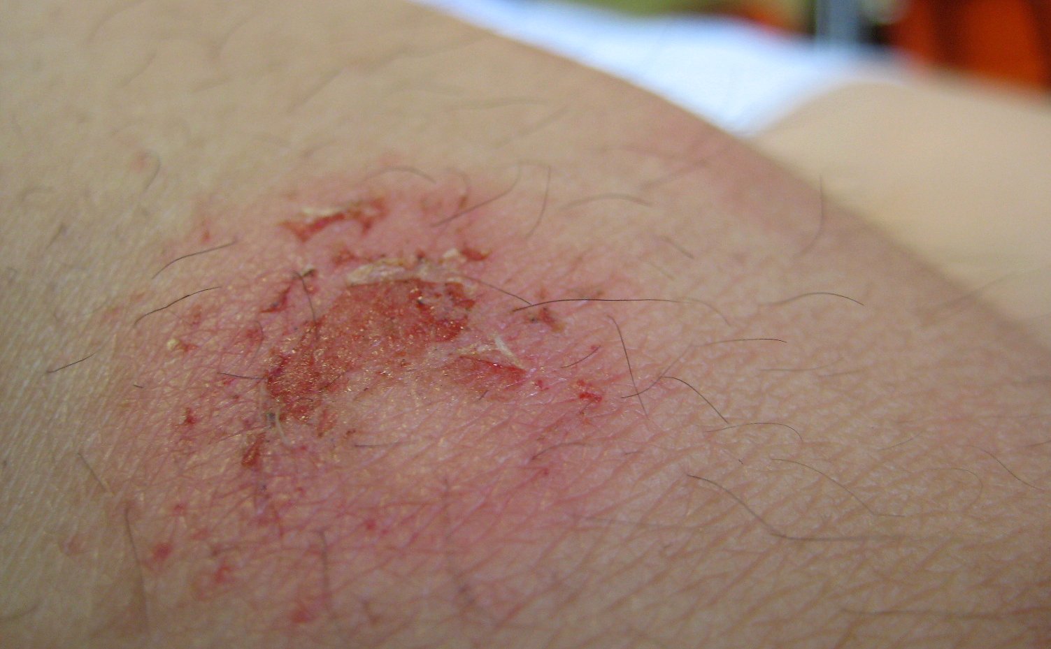
paintballin wounds

Trouble viewing? Please visit our website mhs.tcboe.org/ and look for the March newsletter link.

Devil's Den
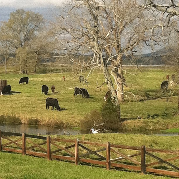
Crane at Creek
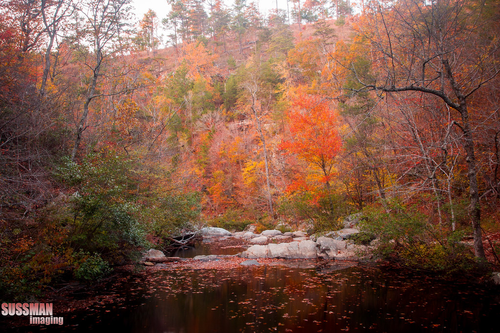
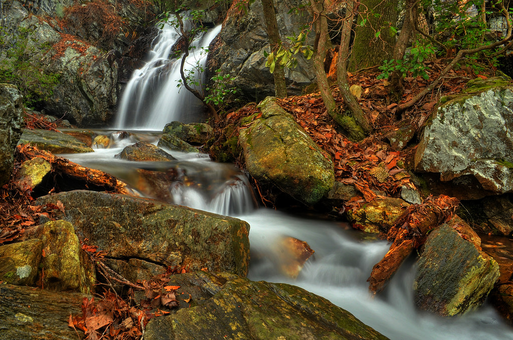
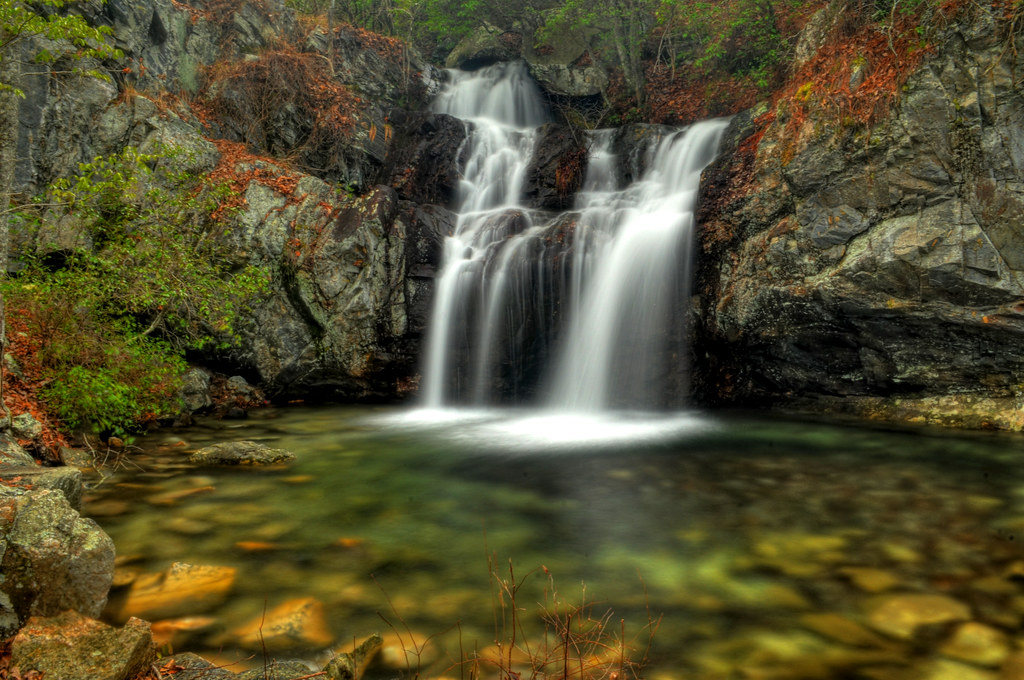
A Cheaha Waterfall
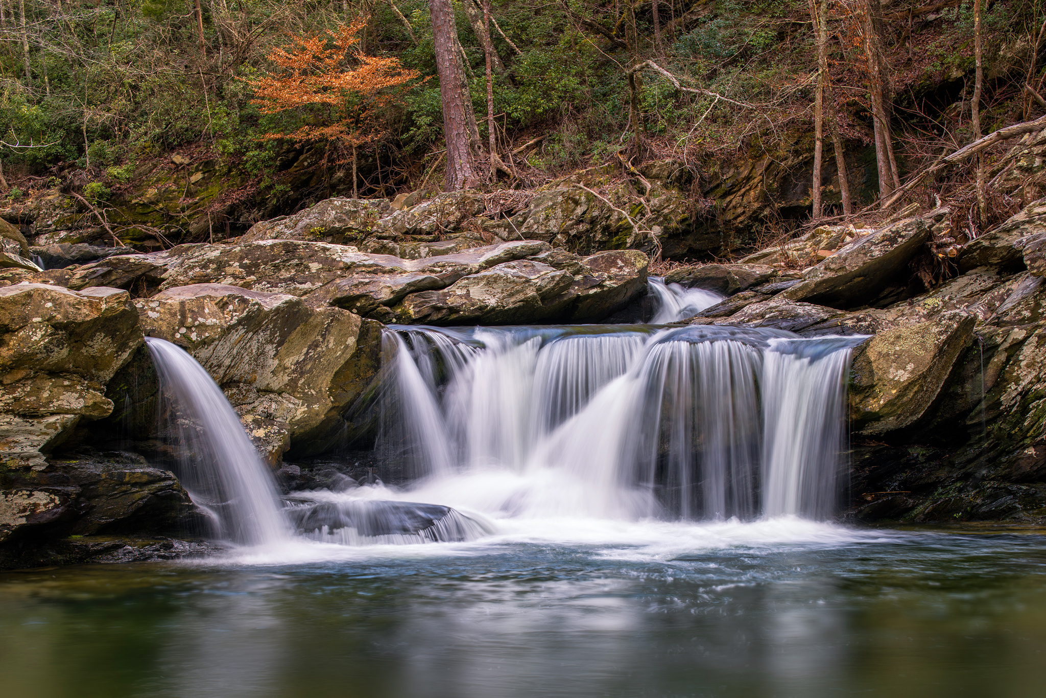
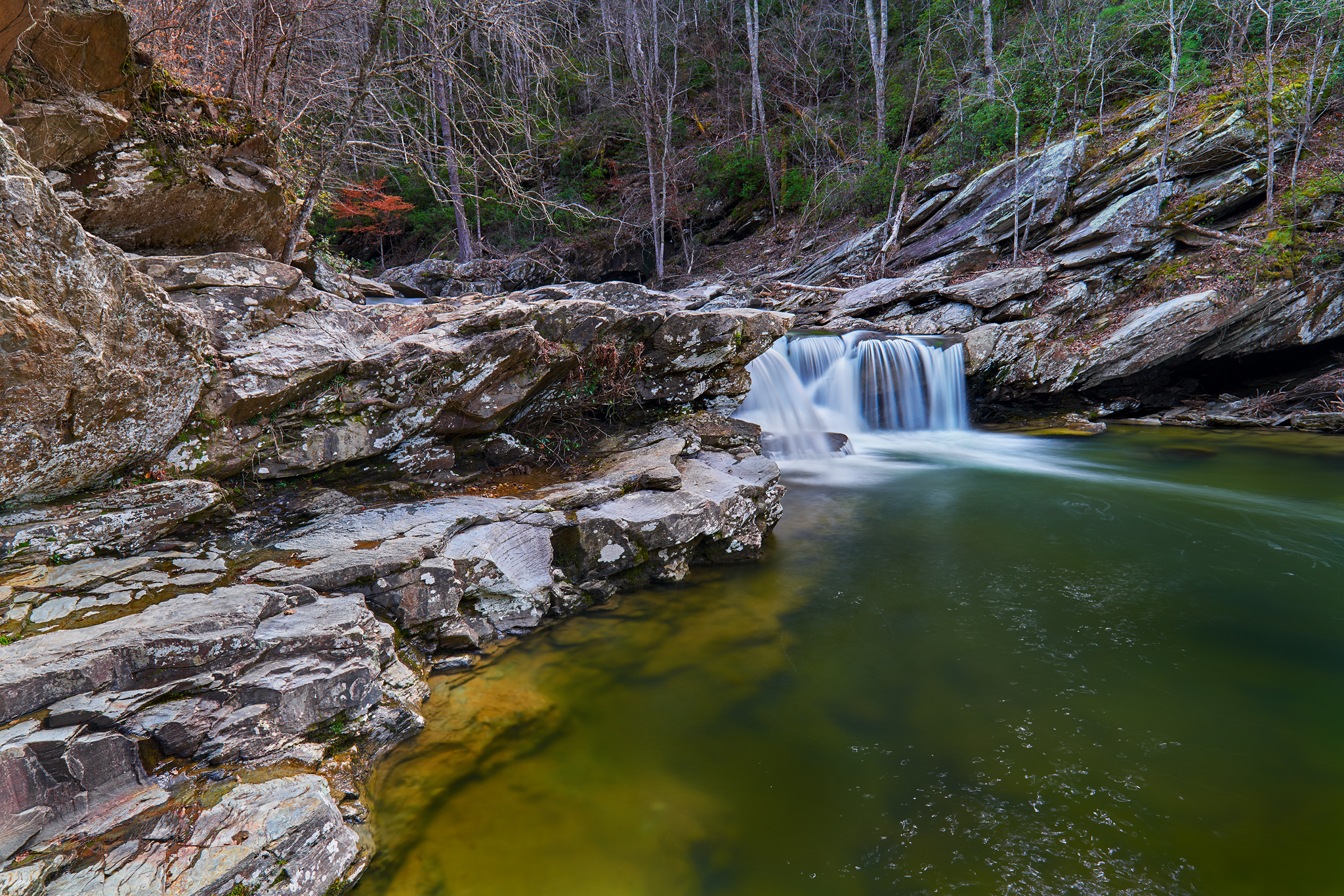
High Falls
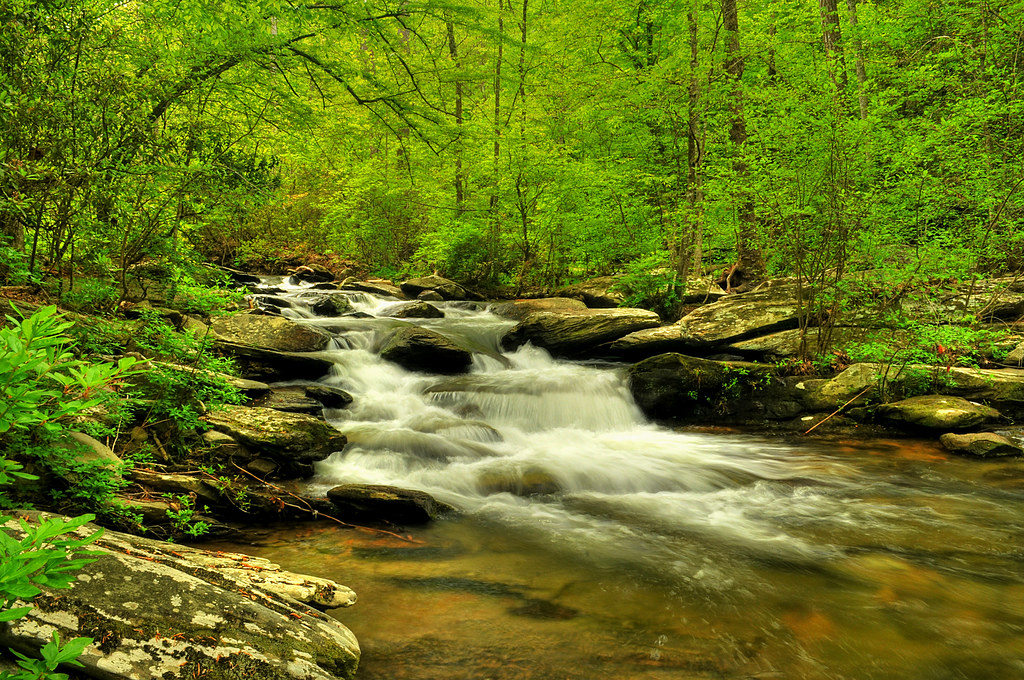
Cheaha Creek
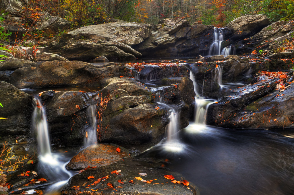
Upper High Falls
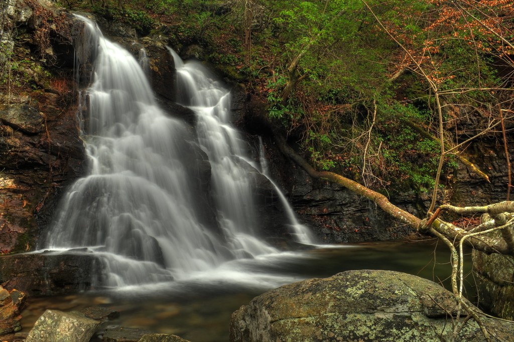
Devil's Den Falls

High Falls Cascades
High falls
The Devil's Den

White Crane in flight on Hwy 21
Coldwater Flow
Chinabee Silent Trail

2013-07-26-12-08-11_CRS7405 - Version 2 (1)
Wormy's Pulpit
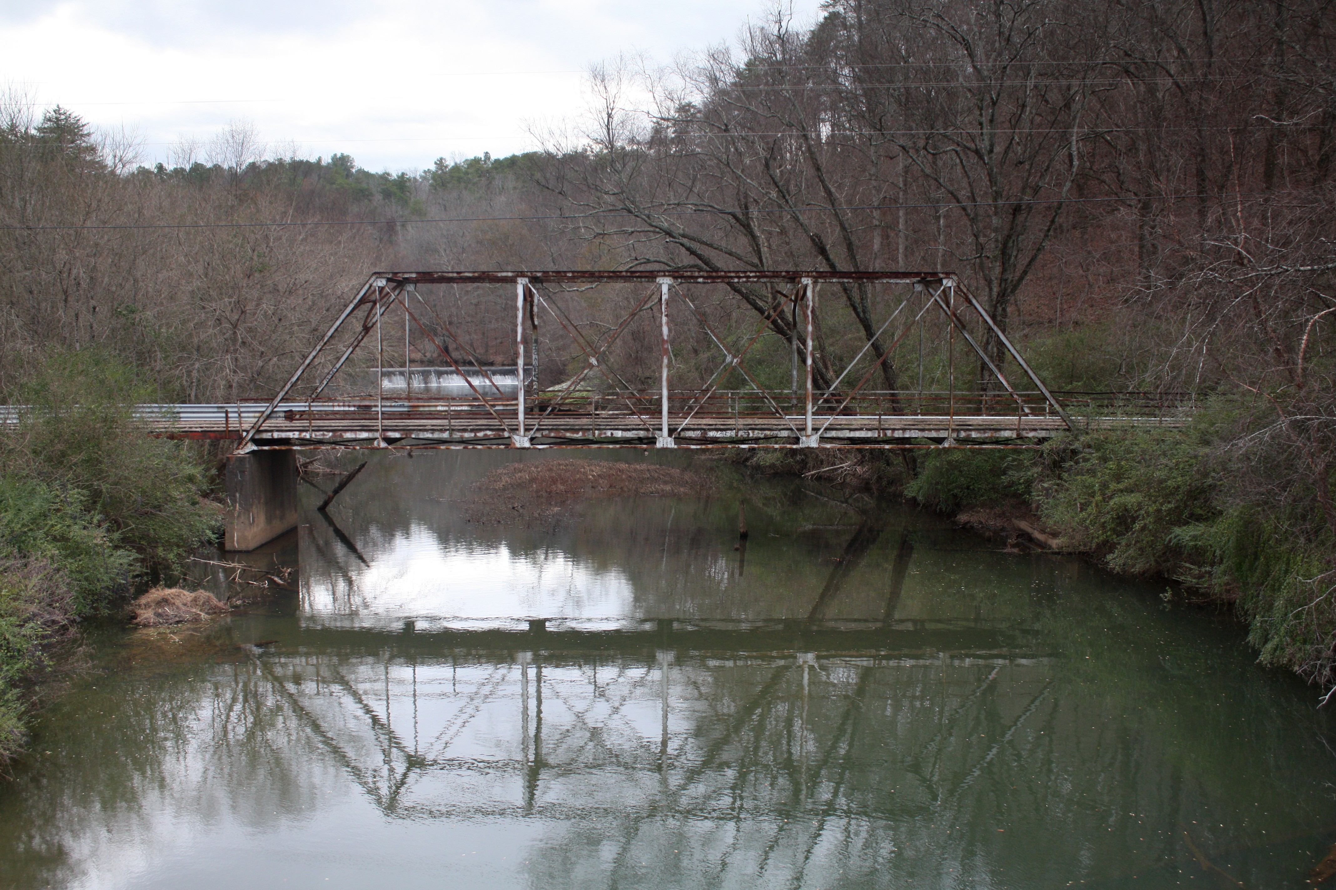
Old Talladega Creek Bridge

Cheaha Waterfalls

John Jumping into Cheaha Creek
Topographic Map of Woolfolk Rd, Munford, AL, USA
Find elevation by address:

Places near Woolfolk Rd, Munford, AL, USA:
Stockdale Rd, Munford, AL, USA
Shady Hollow Ln, Waldo, AL, USA
Waldo
North St E, Talladega, AL, USA
Clairmont Springs Rd, Talladega, AL, USA
Turpentine Ln, Talladega, AL, USA
Armbrester Ln, Munford, AL, USA
18 Bolden Dr, Talladega, AL, USA
Ave H, Talladega, AL, USA
Talladega
3333 Germany Mountain Rd
410 1st Ave N
Cheaha Rd, Munford, AL, USA
Germany Mountain Rd, Talladega, AL, USA
Allison Mill Rd, Talladega, AL, USA
153 Salt Creek Rd
Munford
436 Newbury's Rd
Granttown Rd, Munford, AL, USA
Talladega County
Recent Searches:
- Elevation of Corso Fratelli Cairoli, 35, Macerata MC, Italy
- Elevation of Tallevast Rd, Sarasota, FL, USA
- Elevation of 4th St E, Sonoma, CA, USA
- Elevation of Black Hollow Rd, Pennsdale, PA, USA
- Elevation of Oakland Ave, Williamsport, PA, USA
- Elevation of Pedrógão Grande, Portugal
- Elevation of Klee Dr, Martinsburg, WV, USA
- Elevation of Via Roma, Pieranica CR, Italy
- Elevation of Tavkvetili Mountain, Georgia
- Elevation of Hartfords Bluff Cir, Mt Pleasant, SC, USA