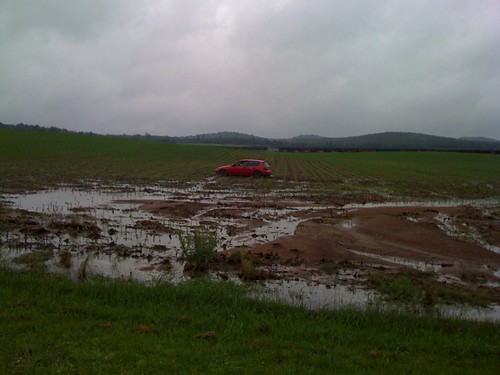
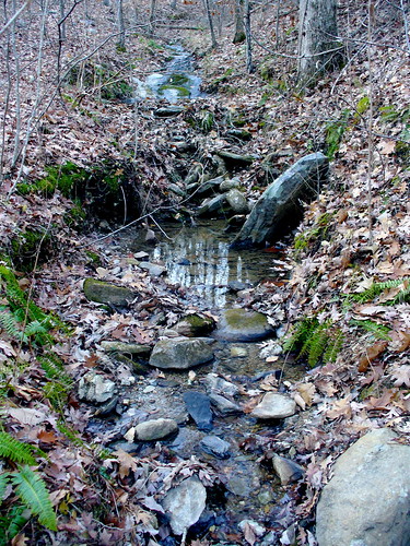
Elevation of Waldo, AL, USA
Location: United States > Alabama > Talladega County >
Longitude: -86.026913
Latitude: 33.3803879
Elevation: 217m / 712feet
Barometric Pressure: 99KPa
Related Photos:
Topographic Map of Waldo, AL, USA
Find elevation by address:

Places in Waldo, AL, USA:
Places near Waldo, AL, USA:
Shady Hollow Ln, Waldo, AL, USA
Stockdale Rd, Munford, AL, USA
Woolfolk Rd, Munford, AL, USA
Turpentine Ln, Talladega, AL, USA
3333 Germany Mountain Rd
Germany Mountain Rd, Talladega, AL, USA
Clairmont Springs Rd, Talladega, AL, USA
North St E, Talladega, AL, USA
Allison Mill Rd, Talladega, AL, USA
Ave H, Talladega, AL, USA
Talladega
18 Bolden Dr, Talladega, AL, USA
6812 Rendalia Mtwy
Talladega County
Berney Station Rd, Talladega, AL, USA
436 Newbury's Rd
Magnolia Crest Estate, Talladega, AL, USA
Shocco Springs Rd, Talladega, AL, USA
Armbrester Ln, Munford, AL, USA
1090 Co Rd 244
Recent Searches:
- Elevation of Corso Fratelli Cairoli, 35, Macerata MC, Italy
- Elevation of Tallevast Rd, Sarasota, FL, USA
- Elevation of 4th St E, Sonoma, CA, USA
- Elevation of Black Hollow Rd, Pennsdale, PA, USA
- Elevation of Oakland Ave, Williamsport, PA, USA
- Elevation of Pedrógão Grande, Portugal
- Elevation of Klee Dr, Martinsburg, WV, USA
- Elevation of Via Roma, Pieranica CR, Italy
- Elevation of Tavkvetili Mountain, Georgia
- Elevation of Hartfords Bluff Cir, Mt Pleasant, SC, USA


