Elevation of Clairmont Springs Rd, Talladega, AL, USA
Location: United States > Alabama > Clay County >
Longitude: -85.961307
Latitude: 33.3340942
Elevation: 277m / 909feet
Barometric Pressure: 98KPa
Elevation Map:
Satellite Map:
Related Photos:

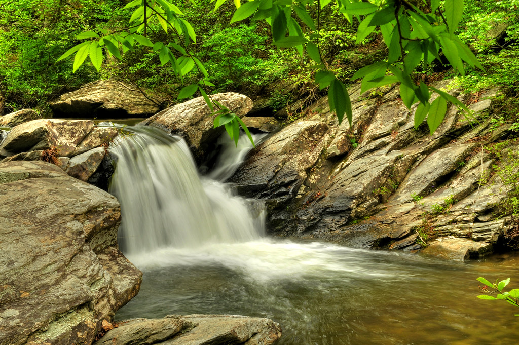
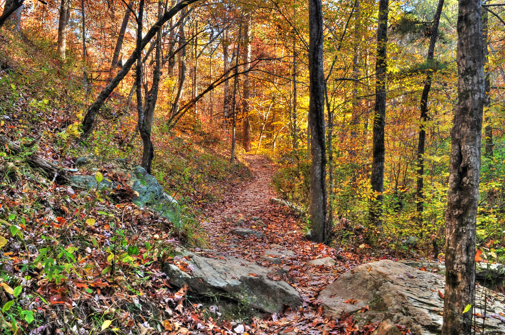
Cheaha Creek
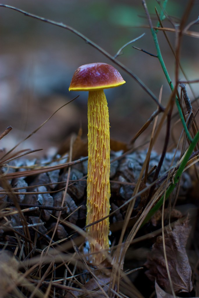
Fungus Among Us
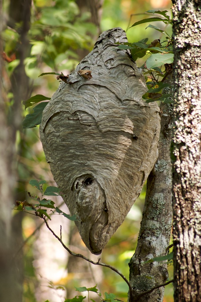
No Honey Here
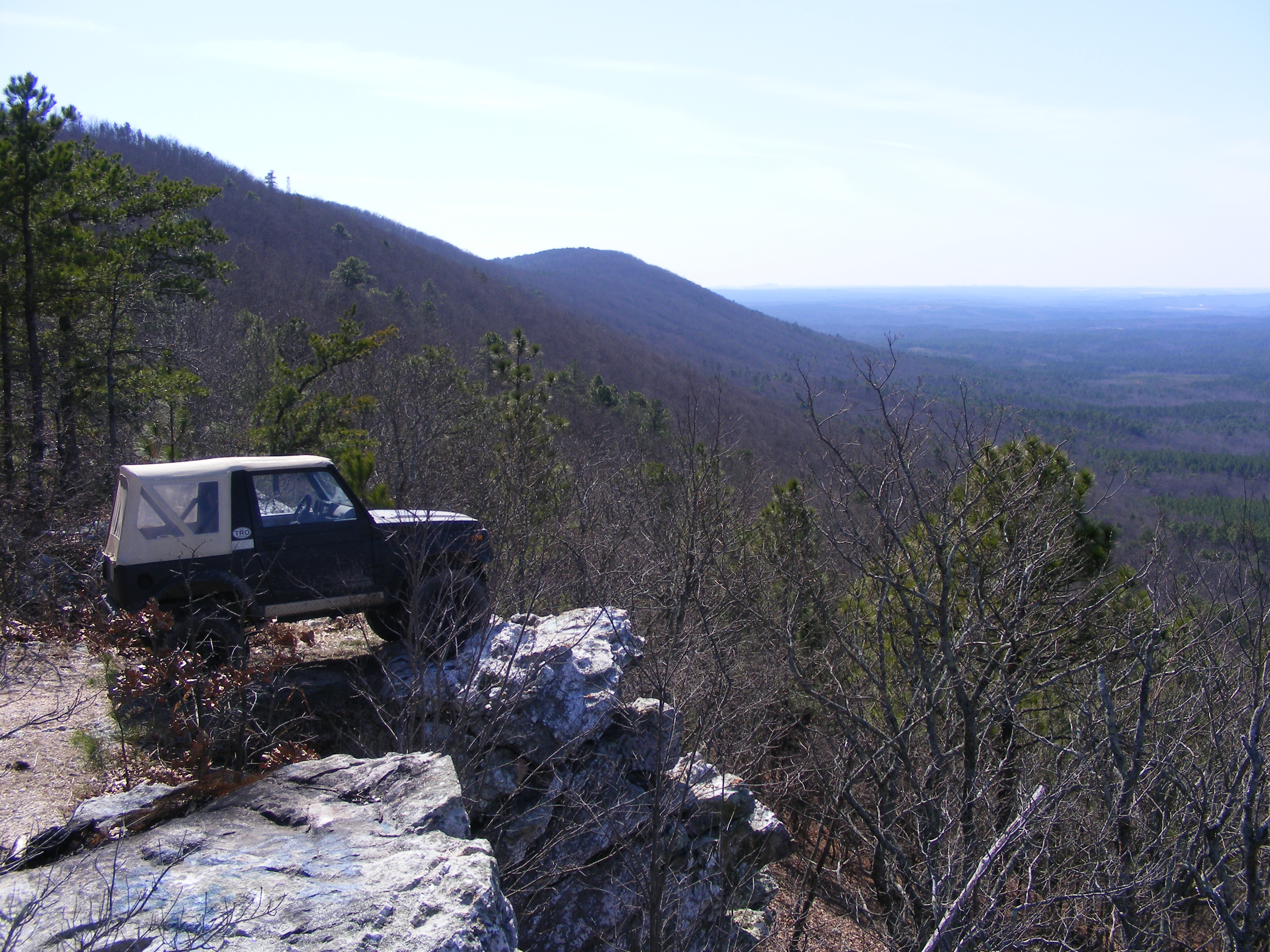
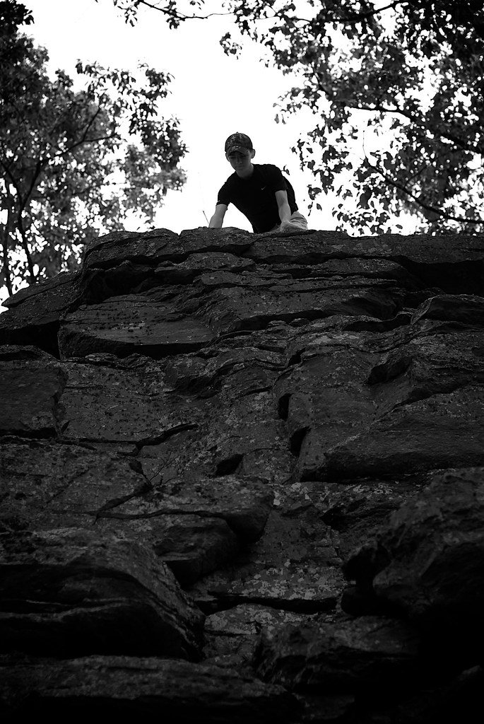
parking spot with a view
Fairy Staircase
Top of The World
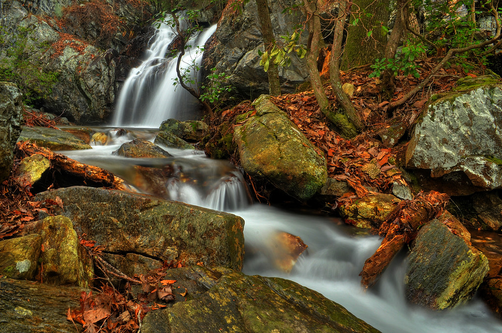
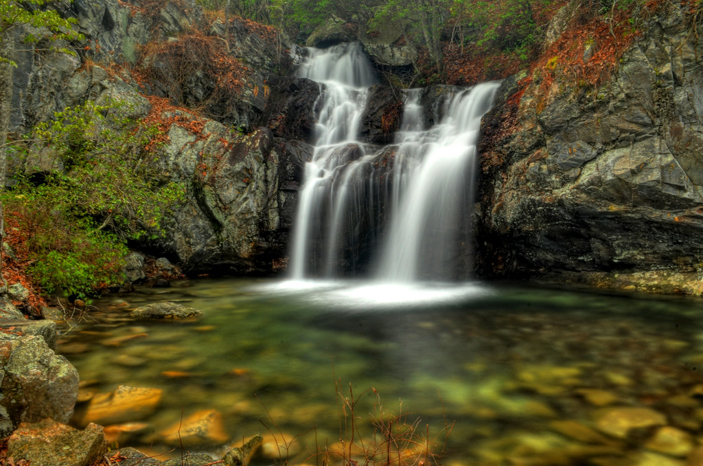
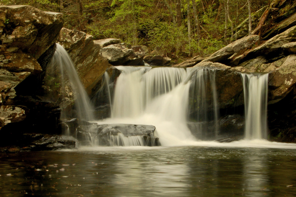
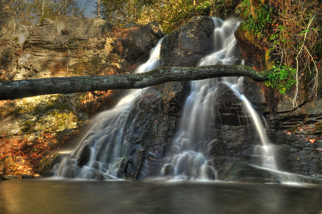
High Falls
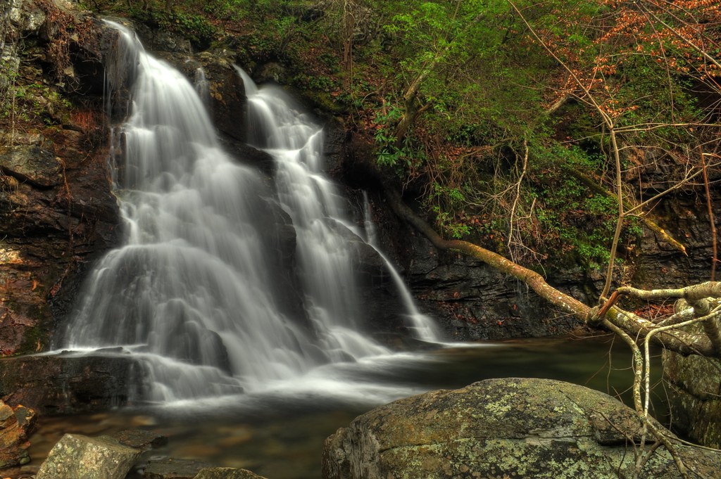
High Falls

Sun Peeks Through
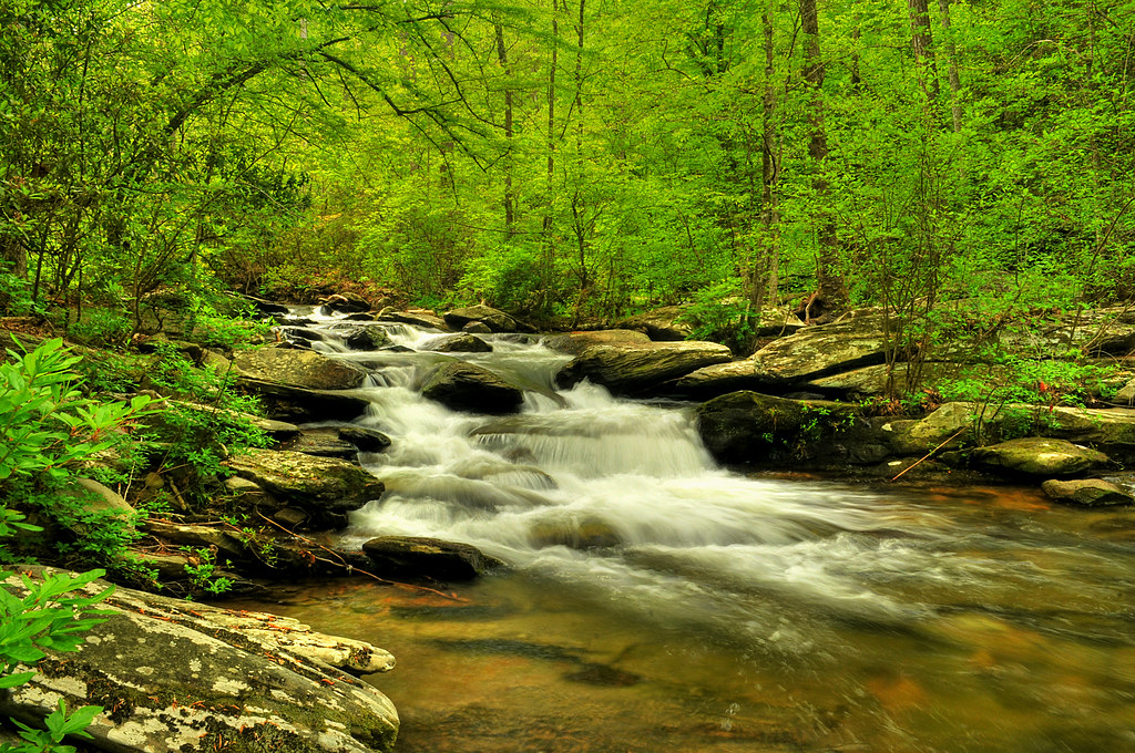
Cheaha Creek
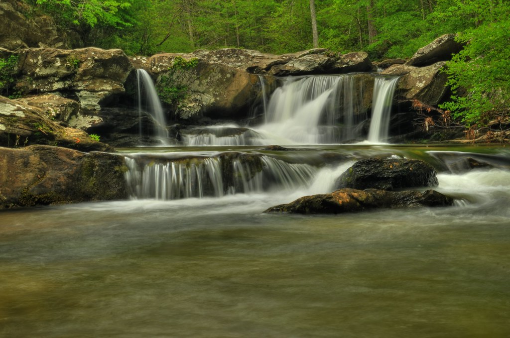
Upper High Falls
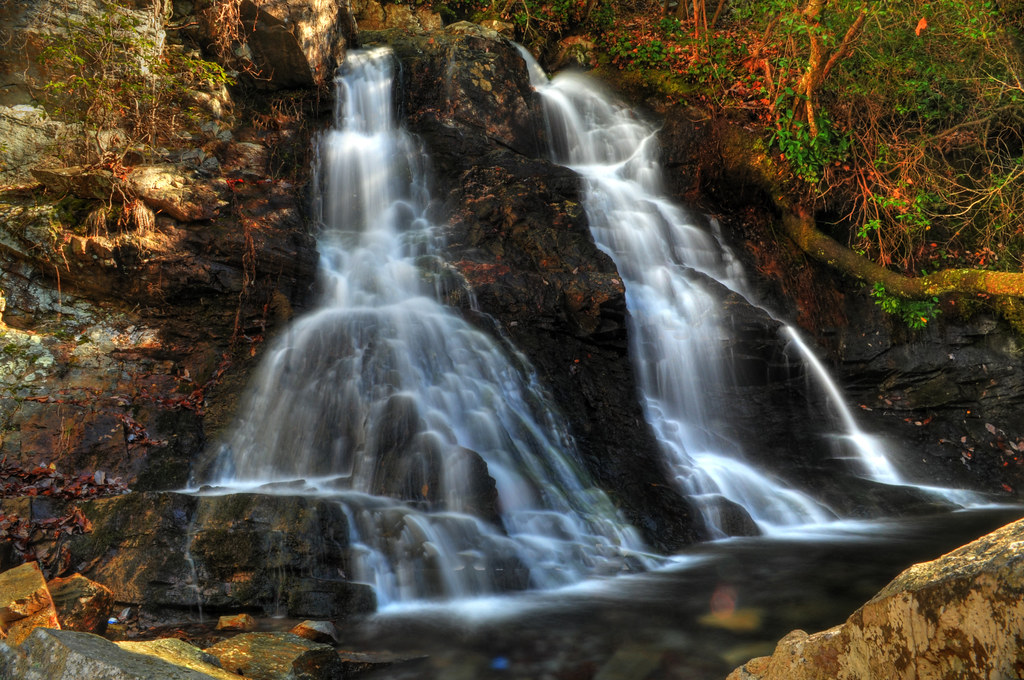
The Twins of High Falls

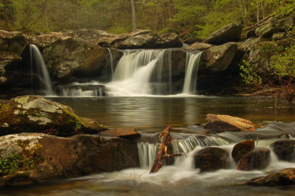
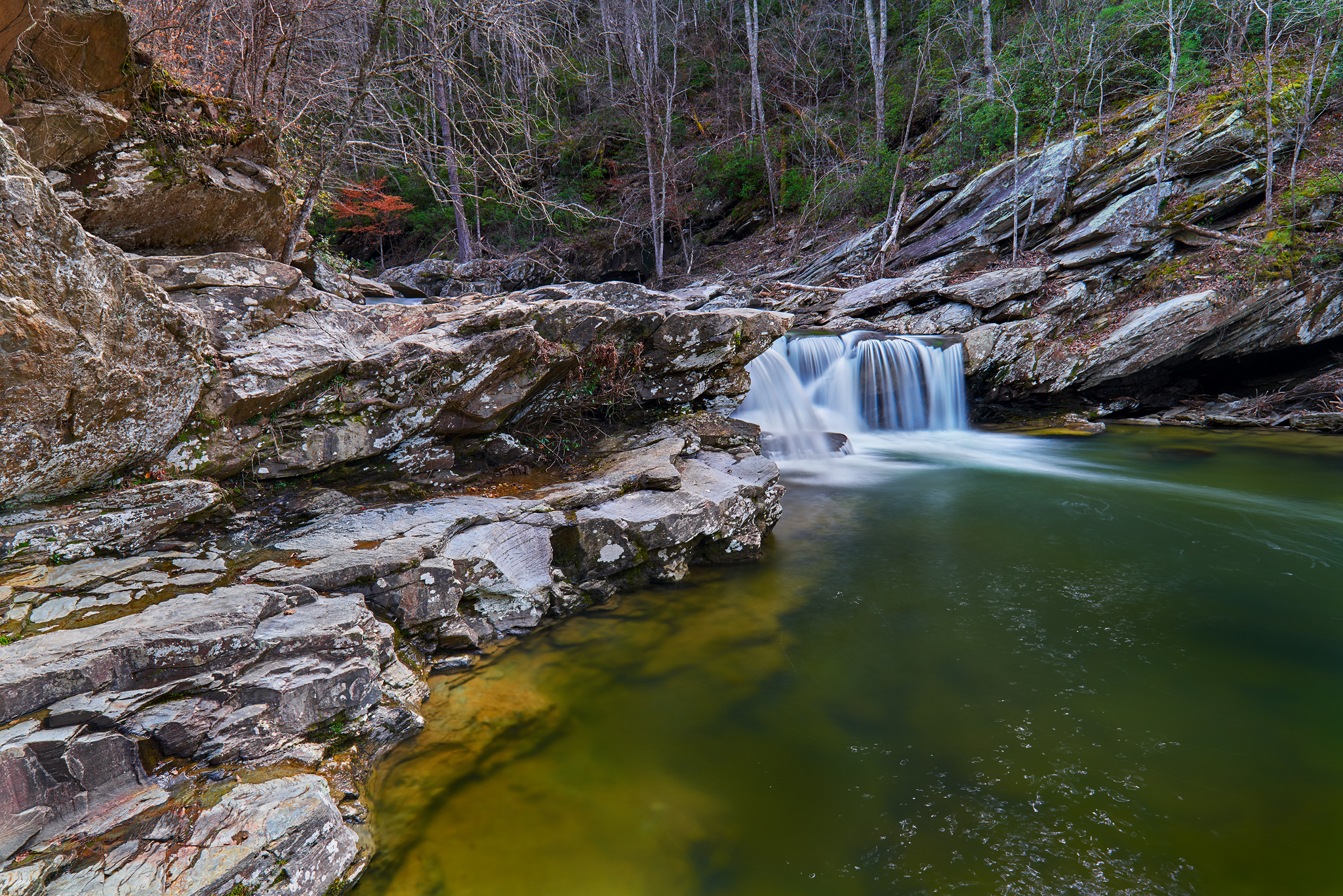
High Falls Cascades
High falls
The Devil's Den
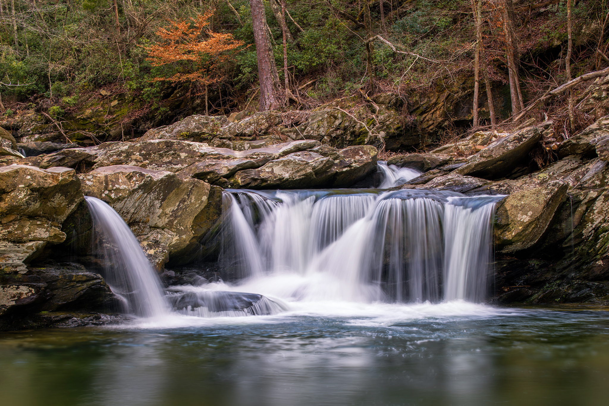
Devil's Den Falls
Devils Den Falls
A Cheaha Waterfall
Springtime in the Devil's Den

The Devil's Den
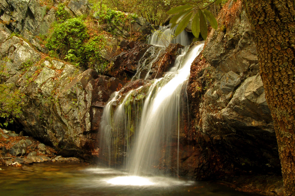
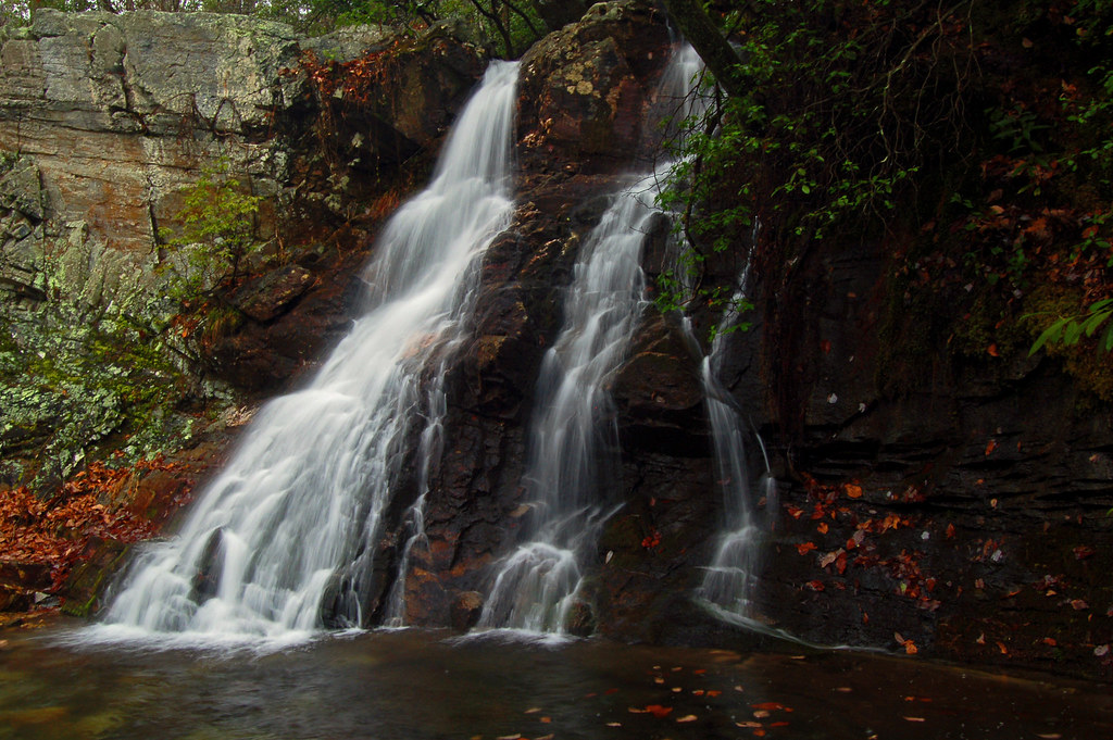
High Falls
Water falling
Another Perspective
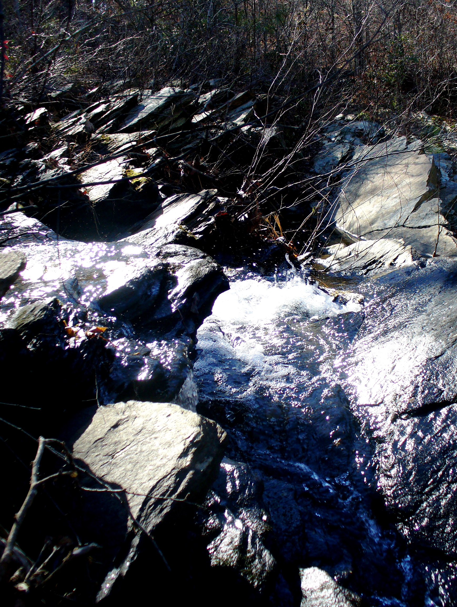
Coldwater Flow
Chinabee Silent Trail
Topographic Map of Clairmont Springs Rd, Talladega, AL, USA
Find elevation by address:

Places near Clairmont Springs Rd, Talladega, AL, USA:
18 Bolden Dr, Talladega, AL, USA
Turpentine Ln, Talladega, AL, USA
436 Newbury's Rd
Waldo
Woolfolk Rd, Munford, AL, USA
Shady Hollow Ln, Waldo, AL, USA
Stockdale Rd, Munford, AL, USA
3333 Germany Mountain Rd
Germany Mountain Rd, Talladega, AL, USA
5312 Co Rd 31
Ashland, AL, USA
Clay County
Ashland
AL-9, Ashland, AL, USA
Co Rd 5, Ashland, AL, USA
6812 Rendalia Mtwy
North St E, Talladega, AL, USA
Allison Mill Rd, Talladega, AL, USA
Cheaha Rd, Munford, AL, USA
Armbrester Ln, Munford, AL, USA
Recent Searches:
- Elevation of Corso Fratelli Cairoli, 35, Macerata MC, Italy
- Elevation of Tallevast Rd, Sarasota, FL, USA
- Elevation of 4th St E, Sonoma, CA, USA
- Elevation of Black Hollow Rd, Pennsdale, PA, USA
- Elevation of Oakland Ave, Williamsport, PA, USA
- Elevation of Pedrógão Grande, Portugal
- Elevation of Klee Dr, Martinsburg, WV, USA
- Elevation of Via Roma, Pieranica CR, Italy
- Elevation of Tavkvetili Mountain, Georgia
- Elevation of Hartfords Bluff Cir, Mt Pleasant, SC, USA