Elevation of Talladega County, AL, USA
Location: United States > Alabama >
Longitude: -86.134469
Latitude: 33.4231716
Elevation: 169m / 554feet
Barometric Pressure: 99KPa
Elevation Map:
Satellite Map:
Related Photos:
View from Condo Balcony at Talladega

paintballin wounds
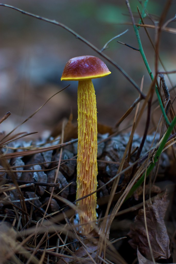
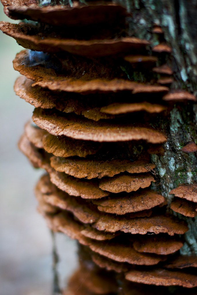
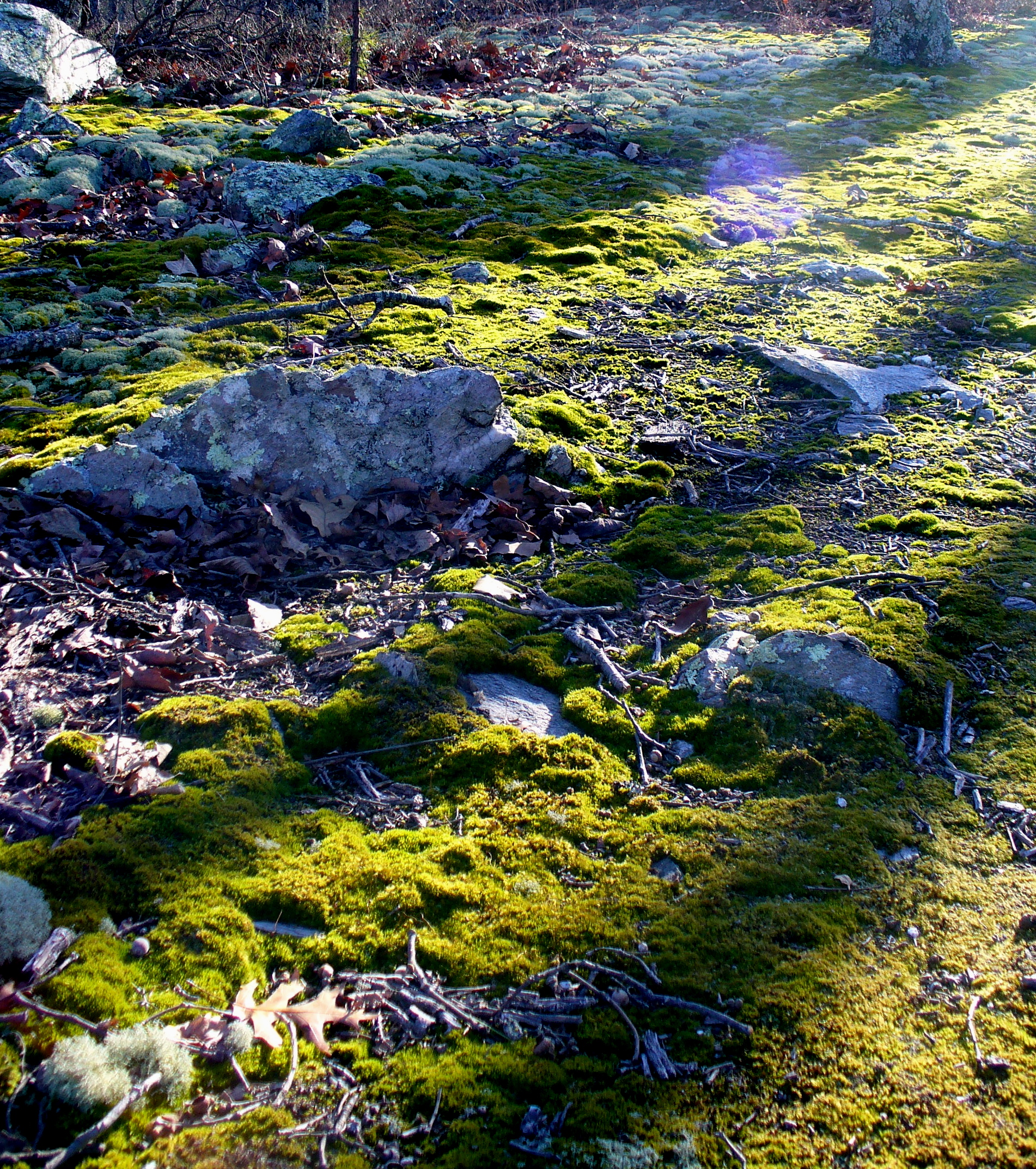
Fungus Among Us
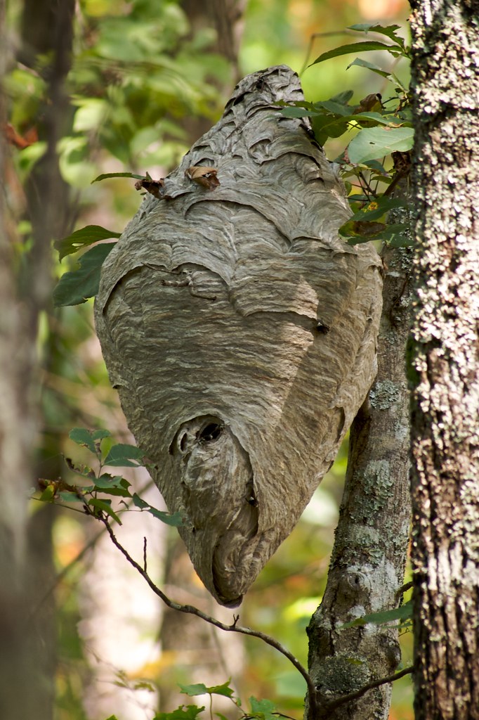
No Honey Here
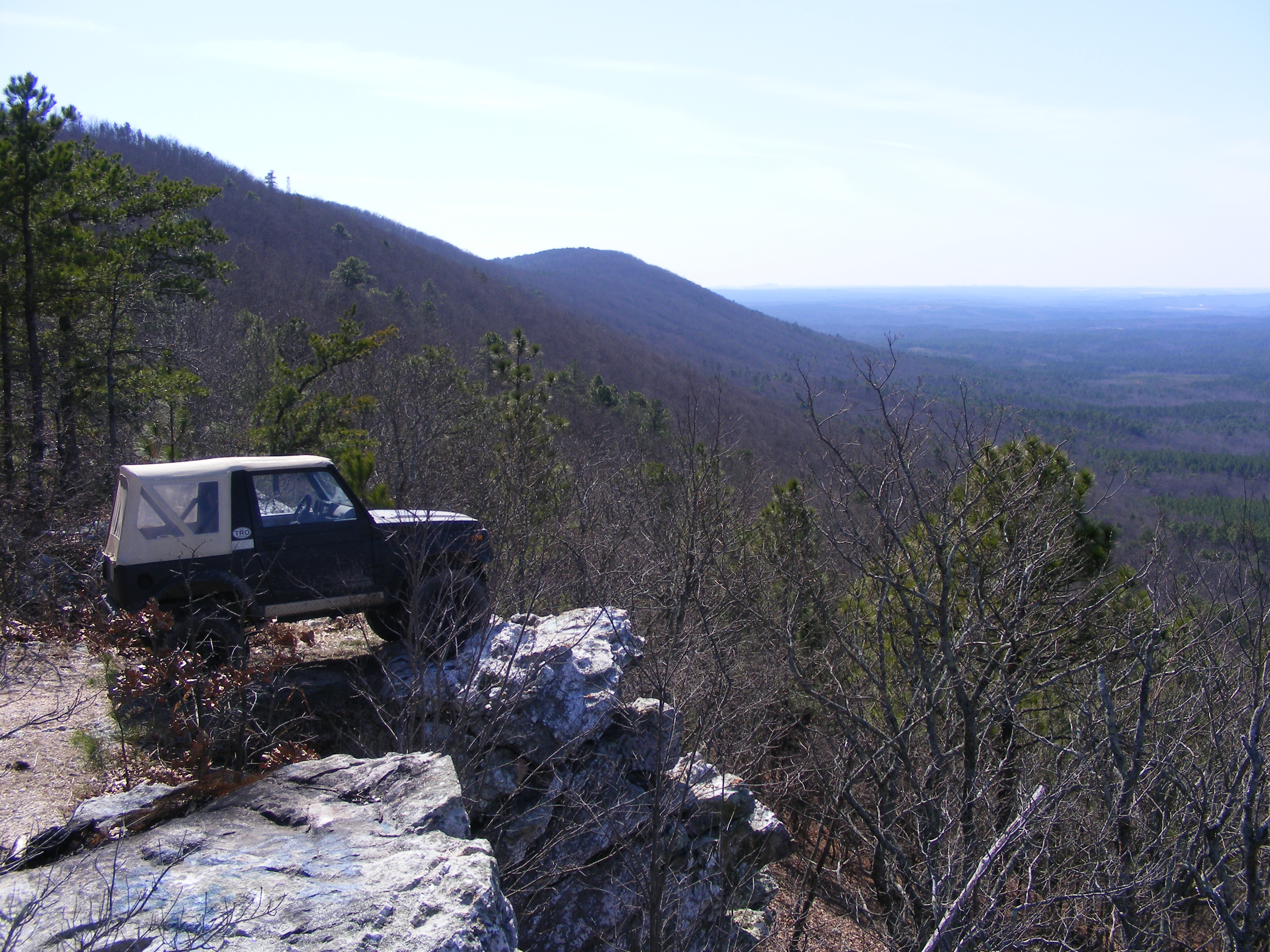
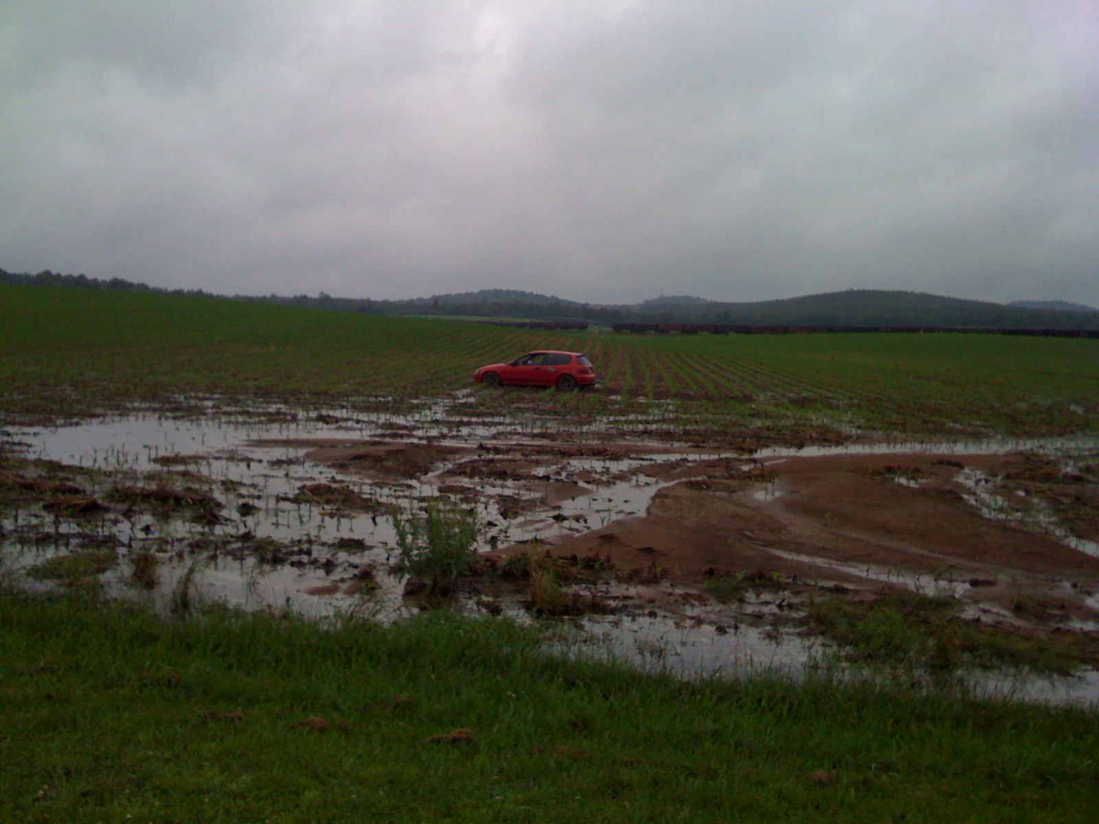
parking spot with a view
Fairy Staircase
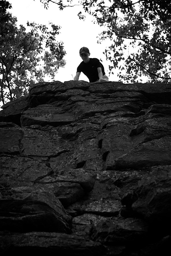
Top of The World

Talladega Sunset
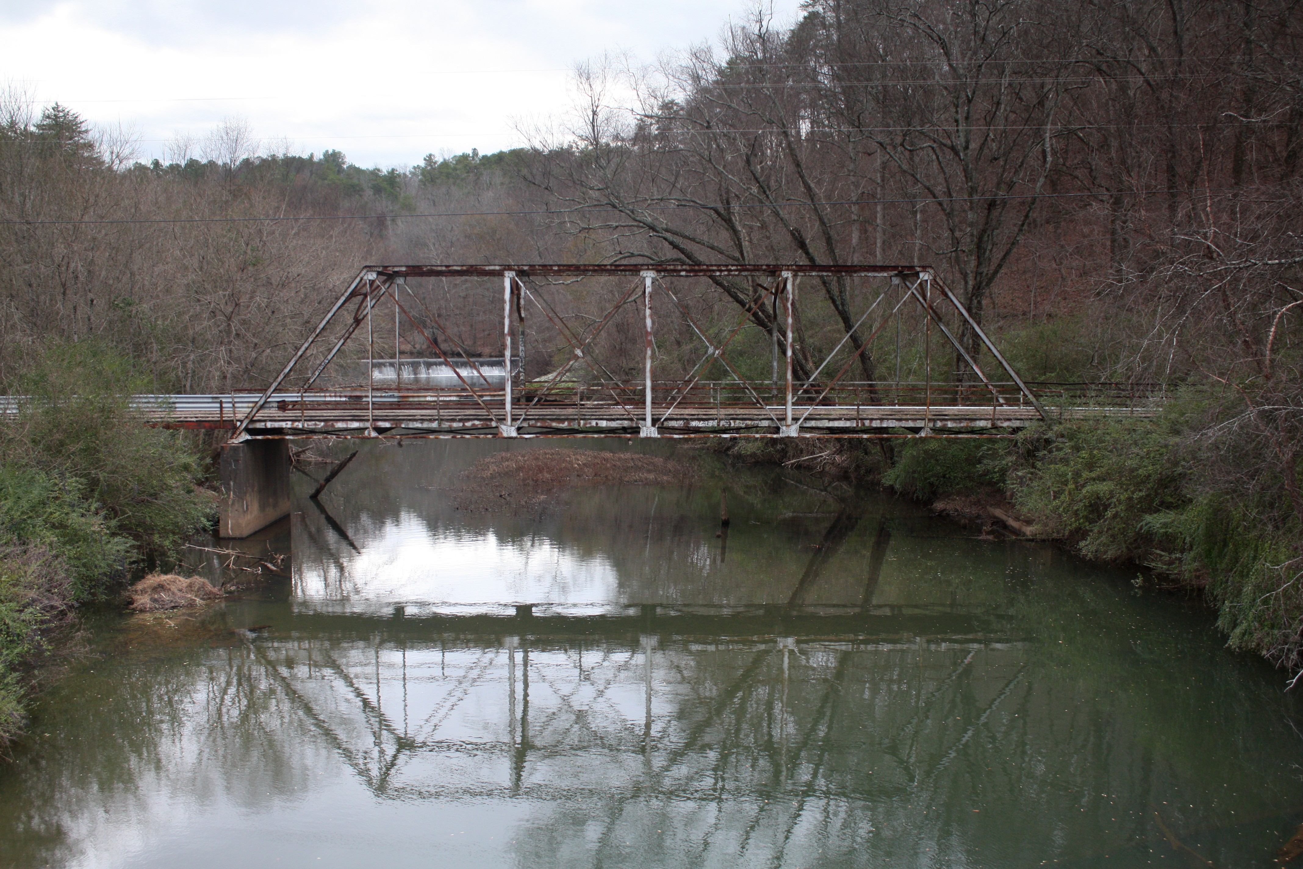
Old Talladega Creek Bridge
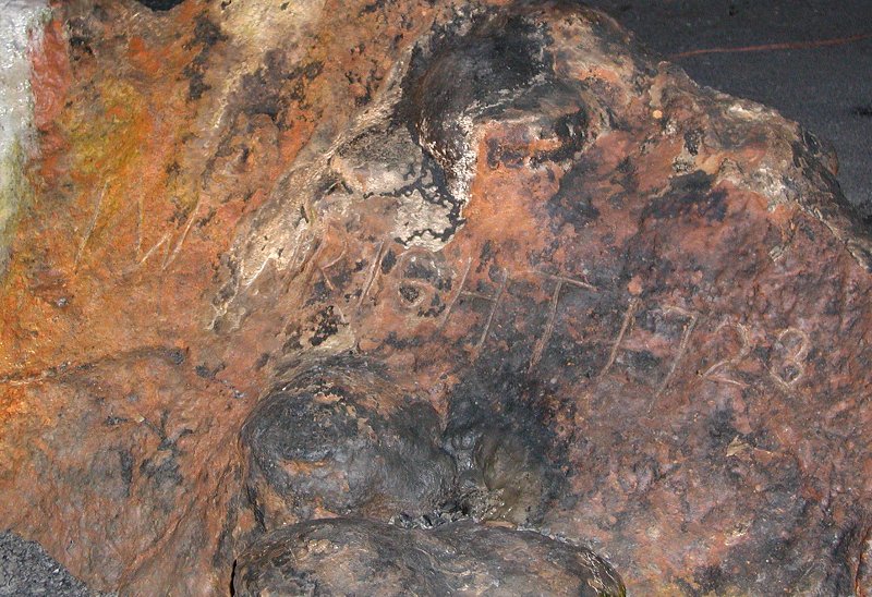
I.W. Wright 1723

Good Morning!
Wormy's Pulpit

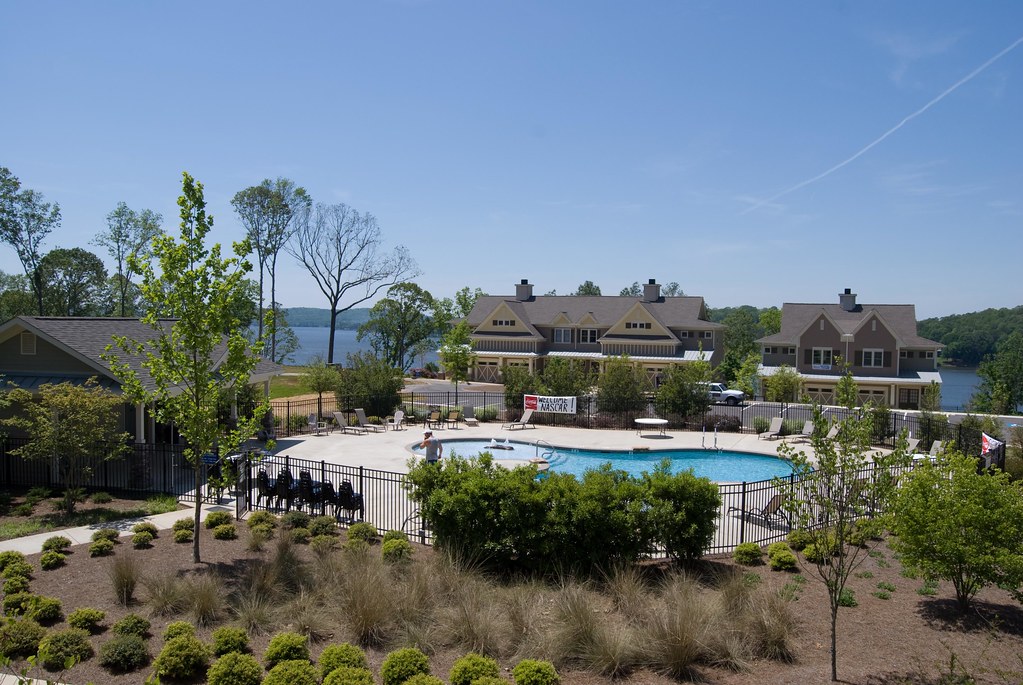
Lake on Sunday Evening
2009-05-17 22:00:46 -0400
Topographic Map of Talladega County, AL, USA
Find elevation by address:

Places in Talladega County, AL, USA:
Talladega
Alpine
Sylacauga
Lincoln
Munford
Harpersville
Childersburg
Waldo
Oak Grove
2 Lessor Dr, Childersburg, AL, USA
Places near Talladega County, AL, USA:
Shocco Springs Rd, Talladega, AL, USA
1090 Co Rd 244
Co Rd, Talladega, AL, USA
W Renfroe Rd, Talladega, AL, USA
Lake Front Dr, Talladega, AL, USA
Windsong Island, Talladega, AL, USA
Feddisburg Rd, Alpine, AL, USA
Cedar Dr, Talladega, AL, USA
Shannon Lynn Shores Ln, Talladega, AL, USA
44 Hilltop Ln, Alpine, AL, USA
1305 Funderburg Bend Rd
250 Grand Way
Funderburg Bend Rd, Pell City, AL, USA
Cedar Point Rd, Lincoln, AL, USA
Clear Creek Dr, Alpine, AL, USA
Eureka Rd, Lincoln, AL, USA
Viewpoint Cir, Pell City, AL, USA
Annesley Dr, Pell City, AL, USA
1408 Annesley Dr
Constellation Ave, Alpine, AL, USA
Recent Searches:
- Elevation of Corso Fratelli Cairoli, 35, Macerata MC, Italy
- Elevation of Tallevast Rd, Sarasota, FL, USA
- Elevation of 4th St E, Sonoma, CA, USA
- Elevation of Black Hollow Rd, Pennsdale, PA, USA
- Elevation of Oakland Ave, Williamsport, PA, USA
- Elevation of Pedrógão Grande, Portugal
- Elevation of Klee Dr, Martinsburg, WV, USA
- Elevation of Via Roma, Pieranica CR, Italy
- Elevation of Tavkvetili Mountain, Georgia
- Elevation of Hartfords Bluff Cir, Mt Pleasant, SC, USA