Elevation of Woolbrook, Greenmantle Road, Bigga NSW, Australia
Location: Australia > New South Wales > Upper Lachlan Shire Council >
Longitude: 149.122207
Latitude: -34.005298
Elevation: 604m / 1982feet
Barometric Pressure: 94KPa
Elevation Map:
Satellite Map:
Related Photos:

Bigga Rolling Clouds

Landskap från ovan

Endless Hills of Bigga

Big Hill

Only when dams are full, do they look natural

Butterfly on the dam wall

349.160 - Pattern, Texture & Colour ...

Wyangala Dam

Whyangla Dam

Whyangla Dam

The dam's dry, which is a shame, but I get to see how it works, which is a boon. #wyangala #teamrodrigo

That's an imposing rock wall right there. #wyangala #teamrodrigo

Wyangala Dam
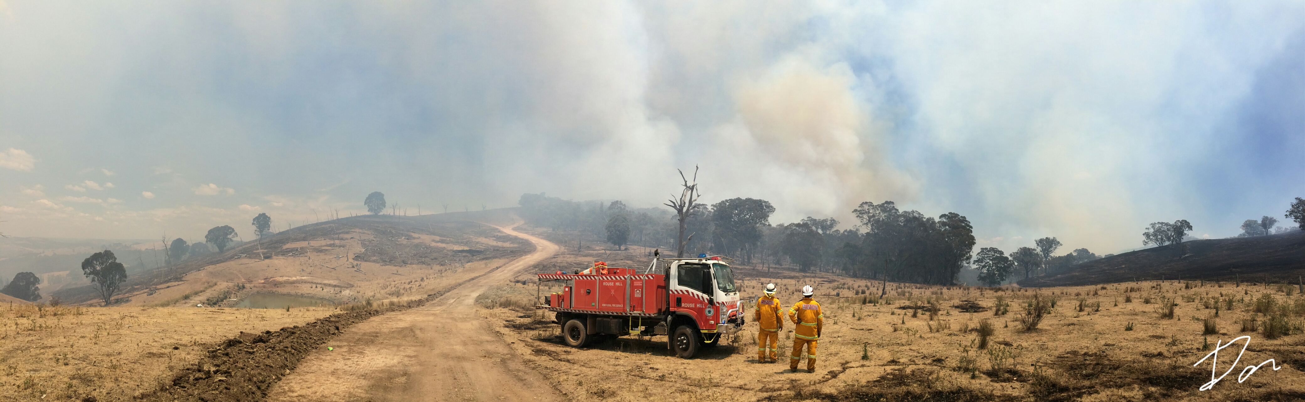
Hells Hole fire

That red tinge on the hillside is air dropped phoscheck fire retardant.
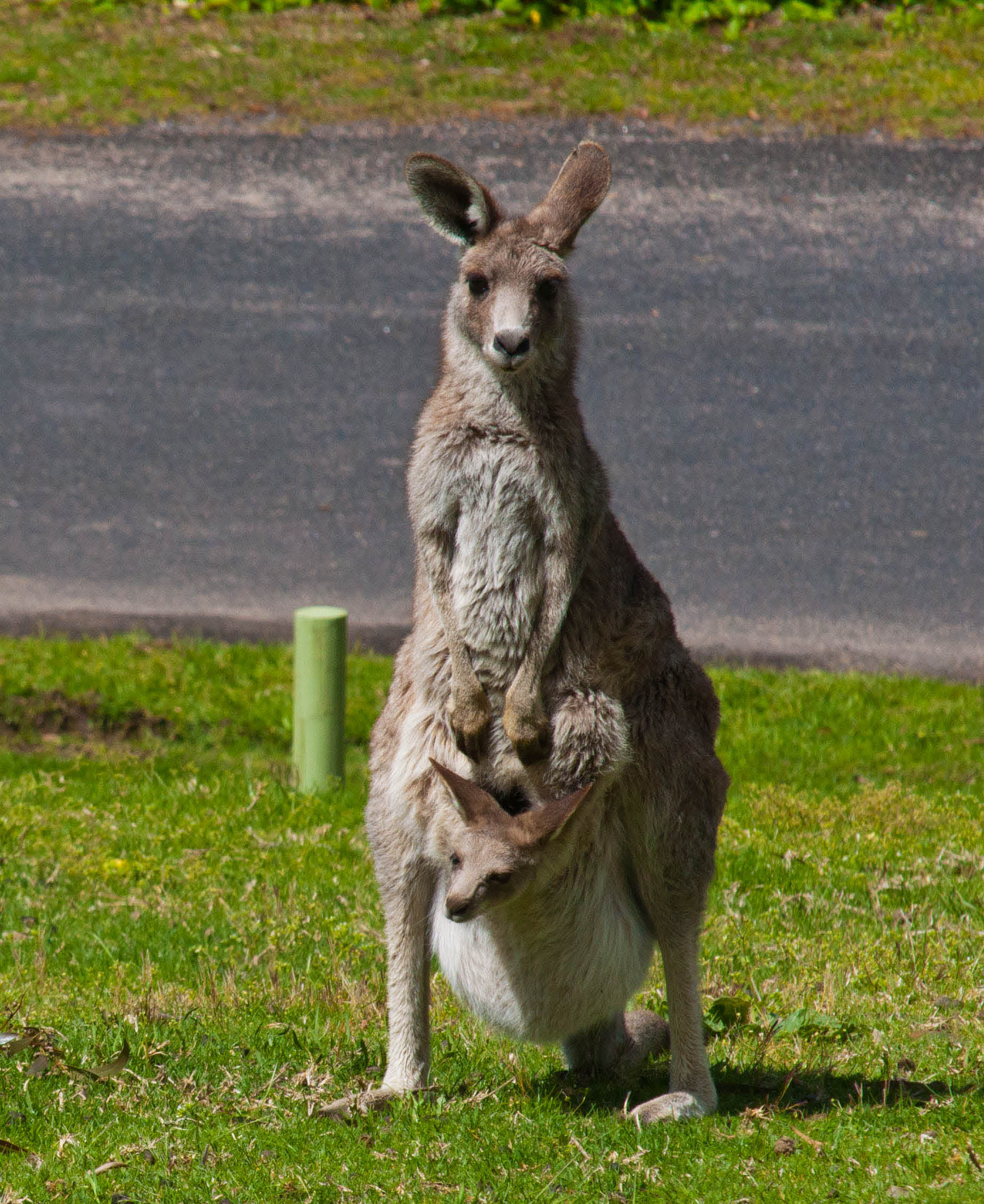
kangaroo with joey
Topographic Map of Woolbrook, Greenmantle Road, Bigga NSW, Australia
Find elevation by address:

Places near Woolbrook, Greenmantle Road, Bigga NSW, Australia:
Tuena
Trunkey Creek
7 Church St
Burraga
Upper Lachlan Shire Council
Laggan
3446 Golspie Rd
2996 Laggan Rd
2663 Laggan-taralga Rd
Black Springs
Oberon Council
Monterey
Norway
334 Sloggetts Rd
Shooters Hill
Jaunter Road
Jaunter
Westrel
Bimbimbie
Chatham Valley
Recent Searches:
- Elevation of Corso Fratelli Cairoli, 35, Macerata MC, Italy
- Elevation of Tallevast Rd, Sarasota, FL, USA
- Elevation of 4th St E, Sonoma, CA, USA
- Elevation of Black Hollow Rd, Pennsdale, PA, USA
- Elevation of Oakland Ave, Williamsport, PA, USA
- Elevation of Pedrógão Grande, Portugal
- Elevation of Klee Dr, Martinsburg, WV, USA
- Elevation of Via Roma, Pieranica CR, Italy
- Elevation of Tavkvetili Mountain, Georgia
- Elevation of Hartfords Bluff Cir, Mt Pleasant, SC, USA