Elevation of Golspie Rd, Laggan NSW, Australia
Location: Australia > New South Wales > Upper Lachlan Shire Council > Laggan >
Longitude: 149.579537
Latitude: -34.335146
Elevation: 862m / 2828feet
Barometric Pressure: 91KPa
Elevation Map:
Satellite Map:
Related Photos:

cemetery at Crookwell, NSW, Australia

cemetery at Crookwell, NSW, Australia

Southern Hemisphere Showcase
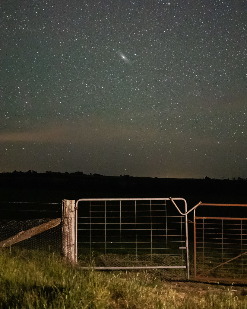
Beyond the gate. Give or take 2.5 million light-years!

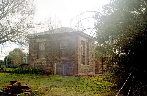
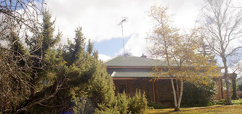
house in Laggan, NSW, Australia

Wind farm

Willow Vale Mill, Laggan, NSW, Australia
Laggan Public School, NSW, Australia

Laggan Public School, NSW, Australia

Laggan Public School, NSW, Australia
Laggan Public School, NSW, Australia

Laggan Public School, NSW, Australia

Laggan Public School, NSW, Australia

Anglican church in Laggan, NSW, Australia
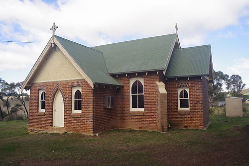
Anglican church in Laggan, NSW, Australia

Anglican church in Laggan, NSW, Australia

Anglican church in Laggan, NSW, Australia

house in Laggan, NSW, Australia
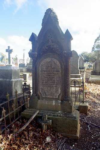
cemetery at Crookwell, NSW, Australia
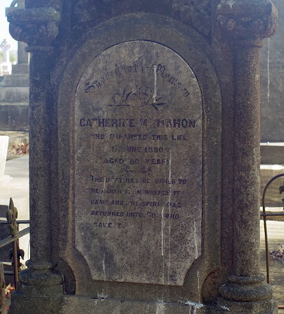
cemetery at Crookwell, NSW, Australia
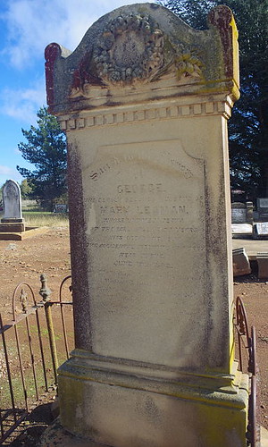
cemetery at Crookwell, NSW, Australia
Topographic Map of Golspie Rd, Laggan NSW, Australia
Find elevation by address:

Places near Golspie Rd, Laggan NSW, Australia:
Laggan
2663 Laggan-taralga Rd
2996 Laggan Rd
Upper Lachlan Shire Council
Tuena
Goorawin Place
10 John St
Goulburn
Goulburn
24 Francis St
Burraga
Oberon Council
Jaunter Road
Jaunter
Shooters Hill
Black Springs
Tirrannaville
276 Currawang Road
Monterey
Woolbrook
Recent Searches:
- Elevation of Corso Fratelli Cairoli, 35, Macerata MC, Italy
- Elevation of Tallevast Rd, Sarasota, FL, USA
- Elevation of 4th St E, Sonoma, CA, USA
- Elevation of Black Hollow Rd, Pennsdale, PA, USA
- Elevation of Oakland Ave, Williamsport, PA, USA
- Elevation of Pedrógão Grande, Portugal
- Elevation of Klee Dr, Martinsburg, WV, USA
- Elevation of Via Roma, Pieranica CR, Italy
- Elevation of Tavkvetili Mountain, Georgia
- Elevation of Hartfords Bluff Cir, Mt Pleasant, SC, USA