Elevation map of Oberon Council, Oberon, NSW, Australia
Location: Australia > New South Wales >
Longitude: 149.748727
Latitude: -33.913553
Elevation: 1178m / 3865feet
Barometric Pressure: 88KPa
Elevation Map:
Satellite Map:
Related Photos:

Mozart's Forest Concerto
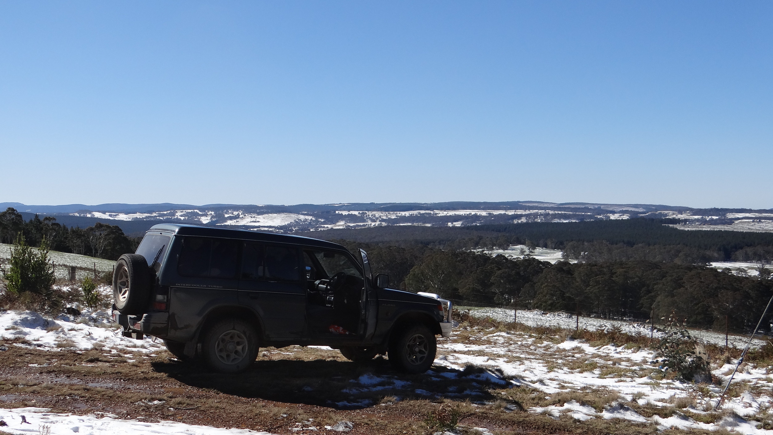
The view from Shooters Hill NSW

The view from Shooters Hill NSW

The view from Shooters Hill NSW

TREES -MT WERONG NSW AUST

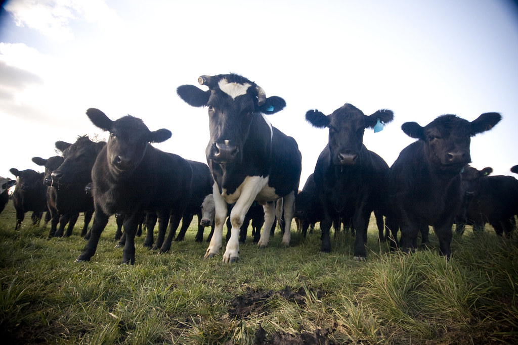
Beefs in snow

Beefs in snow

SHADOW DANCING
NINJA MOO-COWS!

Blacksprings, NSW

Sun is fierce today. Burnt in 10 minutes :(

071228 Bathurst-Woollamia
Topographic Map of Oberon Council, Oberon, NSW, Australia
Find elevation by address:

Places in Oberon Council, Oberon, NSW, Australia:
Places near Oberon Council, Oberon, NSW, Australia:
Black Springs
Monterey
Shooters Hill
Jaunter Road
Jaunter
Norway
334 Sloggetts Rd
Bimbimbie
Chatham Valley
Westrel
Burraga
Jenolan Caves
7 Church St
Mount Cloudmaker
Trunkey Creek
Tuena
3446 Golspie Rd
Laggan
2663 Laggan-taralga Rd
2996 Laggan Rd
Recent Searches:
- Elevation of Corso Fratelli Cairoli, 35, Macerata MC, Italy
- Elevation of Tallevast Rd, Sarasota, FL, USA
- Elevation of 4th St E, Sonoma, CA, USA
- Elevation of Black Hollow Rd, Pennsdale, PA, USA
- Elevation of Oakland Ave, Williamsport, PA, USA
- Elevation of Pedrógão Grande, Portugal
- Elevation of Klee Dr, Martinsburg, WV, USA
- Elevation of Via Roma, Pieranica CR, Italy
- Elevation of Tavkvetili Mountain, Georgia
- Elevation of Hartfords Bluff Cir, Mt Pleasant, SC, USA