Elevation of Woods Point VIC, Australia
Location: Australia > Victoria > Mansfield Shire >
Longitude: 146.254167
Latitude: -37.569722
Elevation: 685m / 2247feet
Barometric Pressure: 93KPa
Elevation Map:
Satellite Map:
Related Photos:

Easter 1908 - "Woods Point. Main Street", Victoria, Australia (restored version)

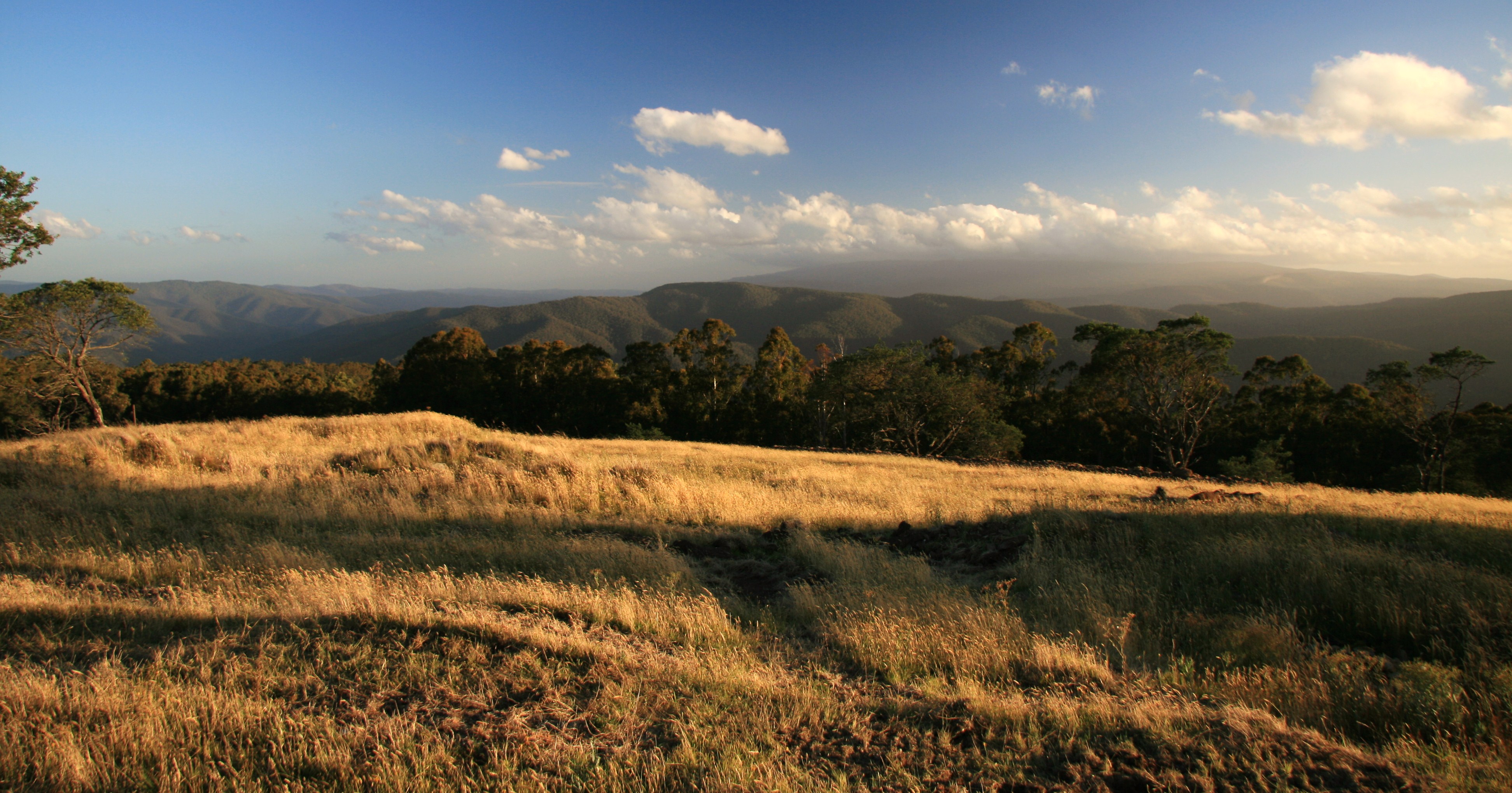
The view from Matlock

The view from Matlock

From A Different Angle.

North of Frenchmans Gap

The view from Matlock

The view from Matlock

The view from Matlock

Mount Selma Road

Woods Point Panorama

Burnt to a crisp

Old Gold Mine

Black & White

Follow the road...
South from Matlock Hill

Woods Point (4)

Rolling Hills

Old Kiln
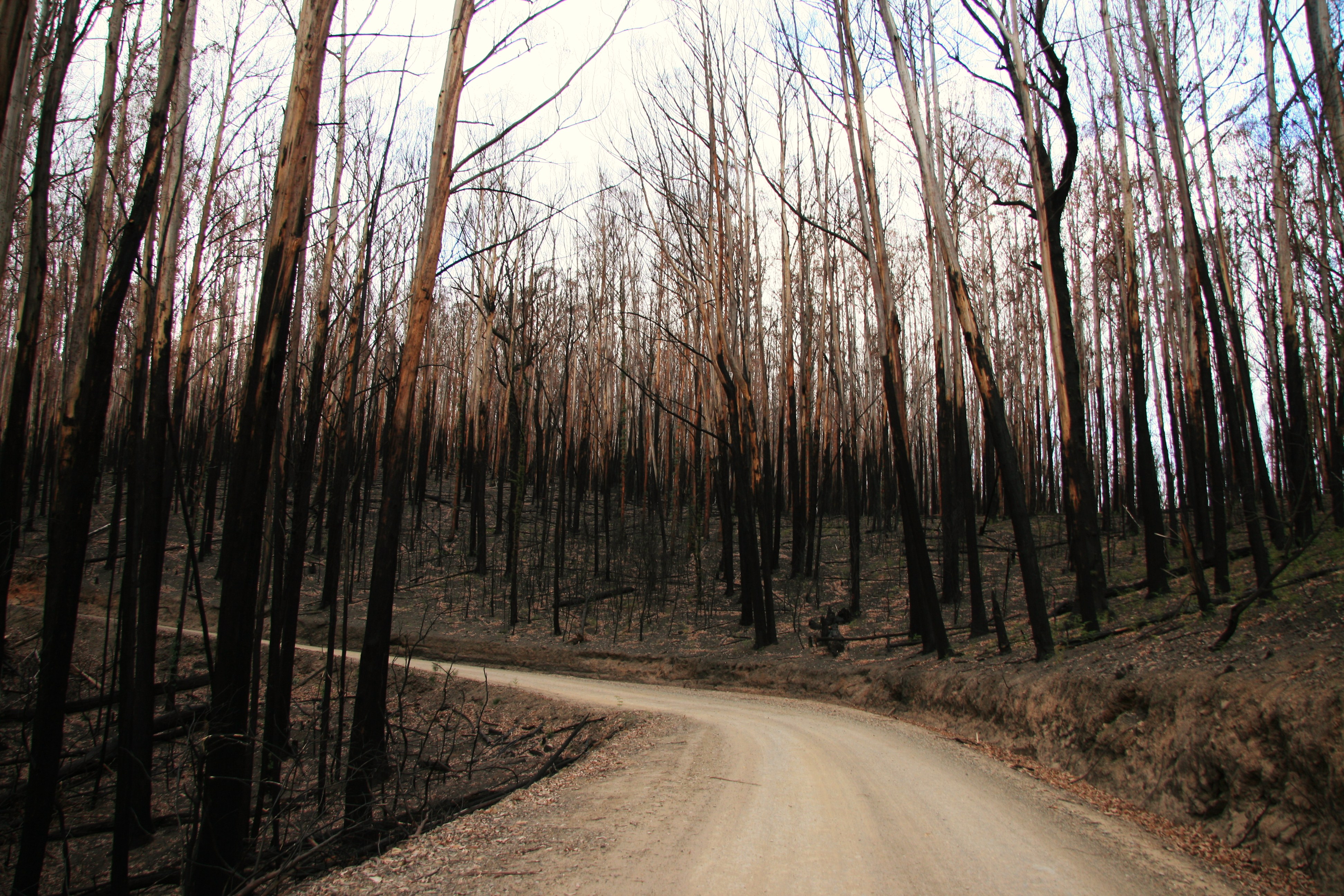
Fire Damage

Goulburn River, Woods Point

Burnt Out

Mt Baw Baw national park

Goulburn River, Woods Point
Topographic Map of Woods Point VIC, Australia
Find elevation by address:

Places near Woods Point VIC, Australia:
1 Warburton-woods Point Rd
Mount Baw Baw
Mount Baw Baw Alpine Resort (unincorporated)
Baw Baw Village
Mount Buller
Merrijig
Mount Howitt
Arbuckle
Seaton
Alpine National Park
284 Burrowes Rd
5640 Mansfield-whitfield Rd
66 King St
Maffra
130 Sawpit Creek Rd
Dargo
Wangaratta Rural City
Harrietville
Mount Hotham
35 Lawlers Ct
Recent Searches:
- Elevation of Corso Fratelli Cairoli, 35, Macerata MC, Italy
- Elevation of Tallevast Rd, Sarasota, FL, USA
- Elevation of 4th St E, Sonoma, CA, USA
- Elevation of Black Hollow Rd, Pennsdale, PA, USA
- Elevation of Oakland Ave, Williamsport, PA, USA
- Elevation of Pedrógão Grande, Portugal
- Elevation of Klee Dr, Martinsburg, WV, USA
- Elevation of Via Roma, Pieranica CR, Italy
- Elevation of Tavkvetili Mountain, Georgia
- Elevation of Hartfords Bluff Cir, Mt Pleasant, SC, USA