Elevation of Merrijig VIC, Australia
Location: Australia > Victoria > Mansfield Shire >
Longitude: 146.274584
Latitude: -37.083170
Elevation: 544m / 1785feet
Barometric Pressure: 95KPa
Elevation Map:
Satellite Map:
Related Photos:

View towards Barwite

View from Delatite Winery

Looking up the West Ridge to the summit and fire observation tower on Mount Buller

View towards Mansfield

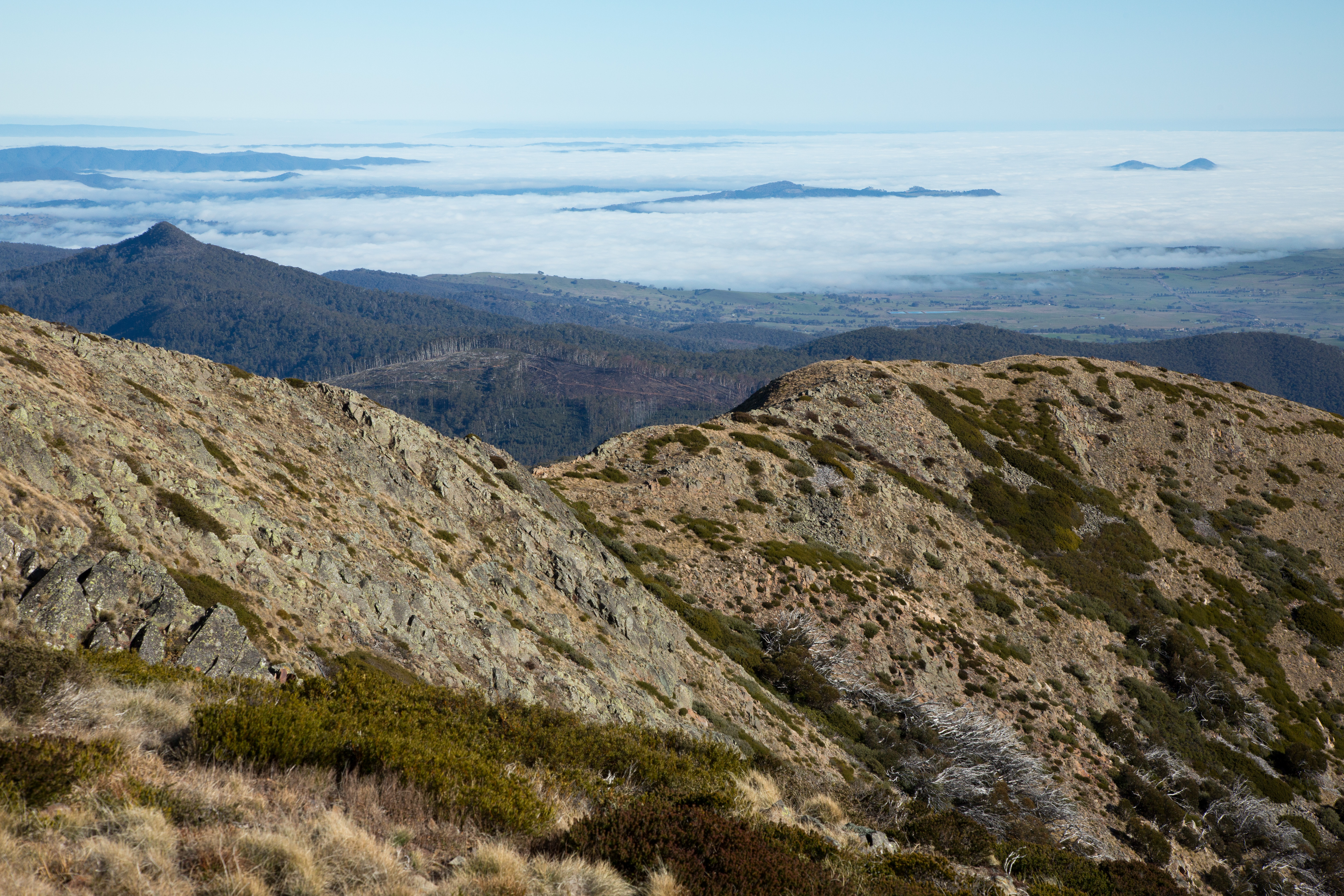
Sea of Clouds

Mount Buller viewed from low on the West Ridge

One of the knolls on teh Mount Buller West Ridge

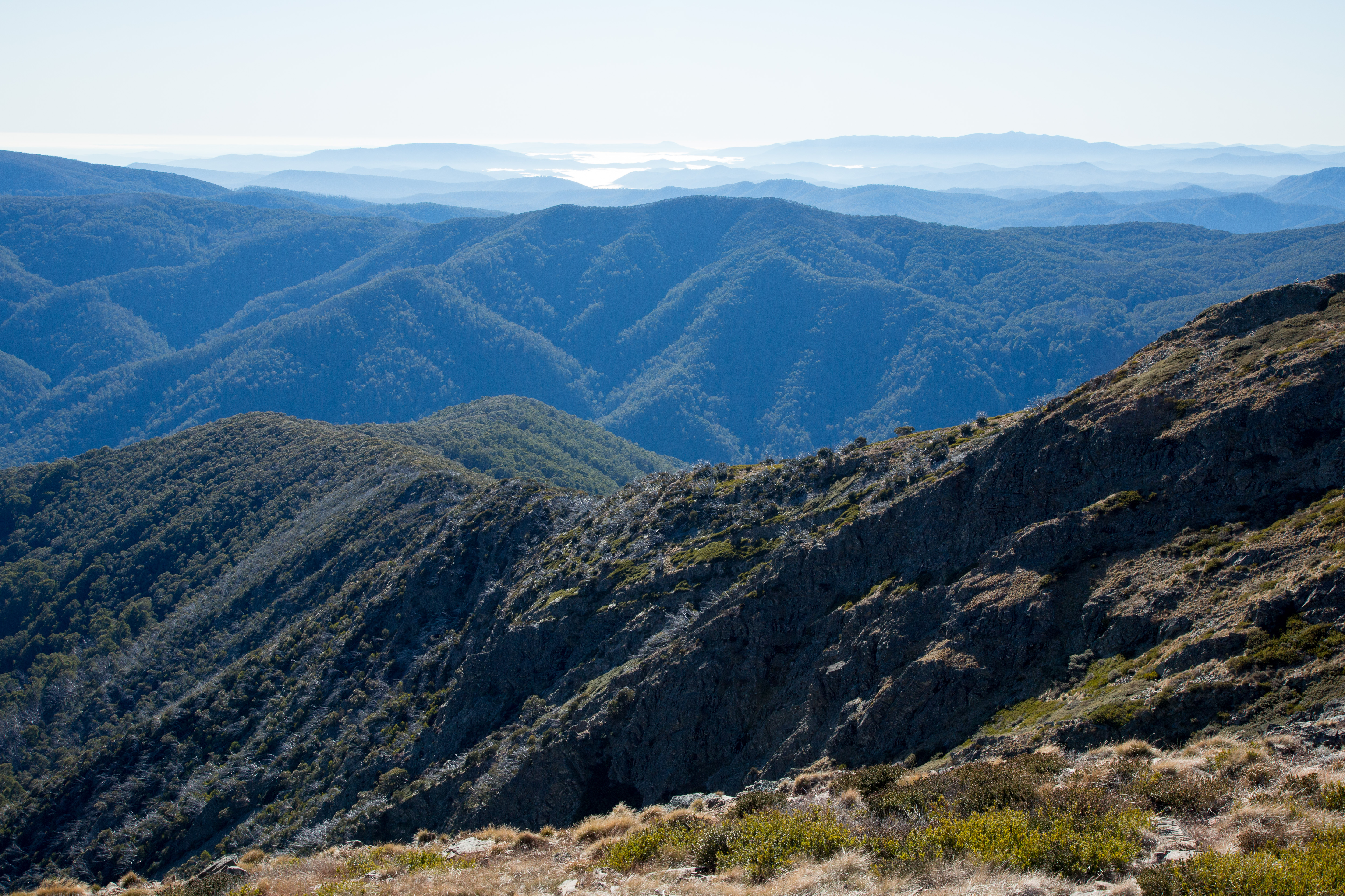
Looking down the West Ridge of Mount Buller with Mount Timbertop on the right

Mount Buller North Ridge with Mount Timbertop on left

Fire tower viewed from Mount Buller summit

McLaughlan Shoulder and Mirimbah Spur of Mount Buller

Sculpture Exhibition View 2

Another view of the Mount Buller West Ridge with Mount TImbertop in the centre
Mirimbah Spur from near Mount Buller summit

Looking down on Mount Buller's West Ridge
Mount Buller North Ridge with Mount Timbertop on the left
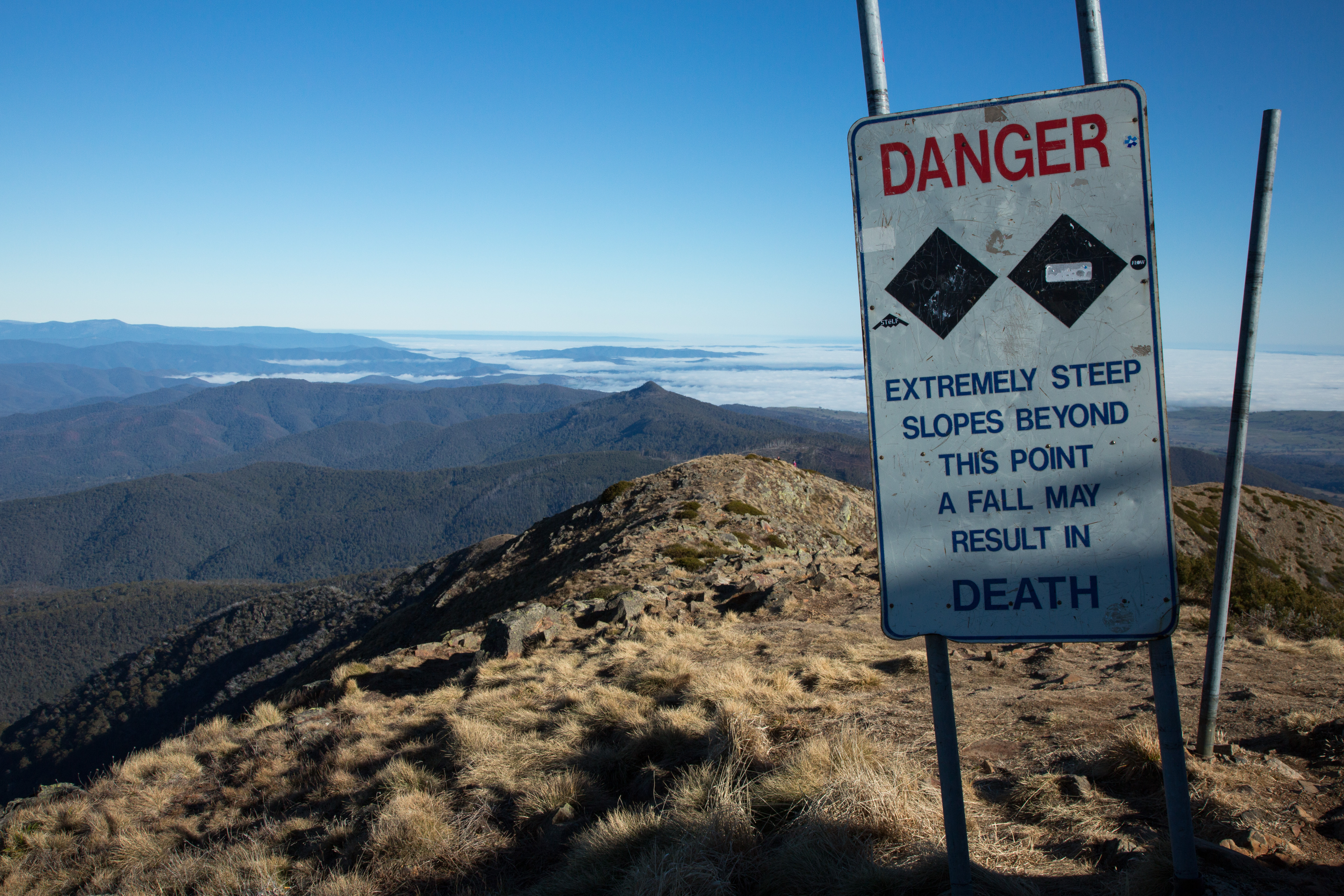
Warning sign on the West Ridge near the summit of Mount Buller

Looking north from near the summit of Mount Buller
Looking down Mount Buller's West Ridge

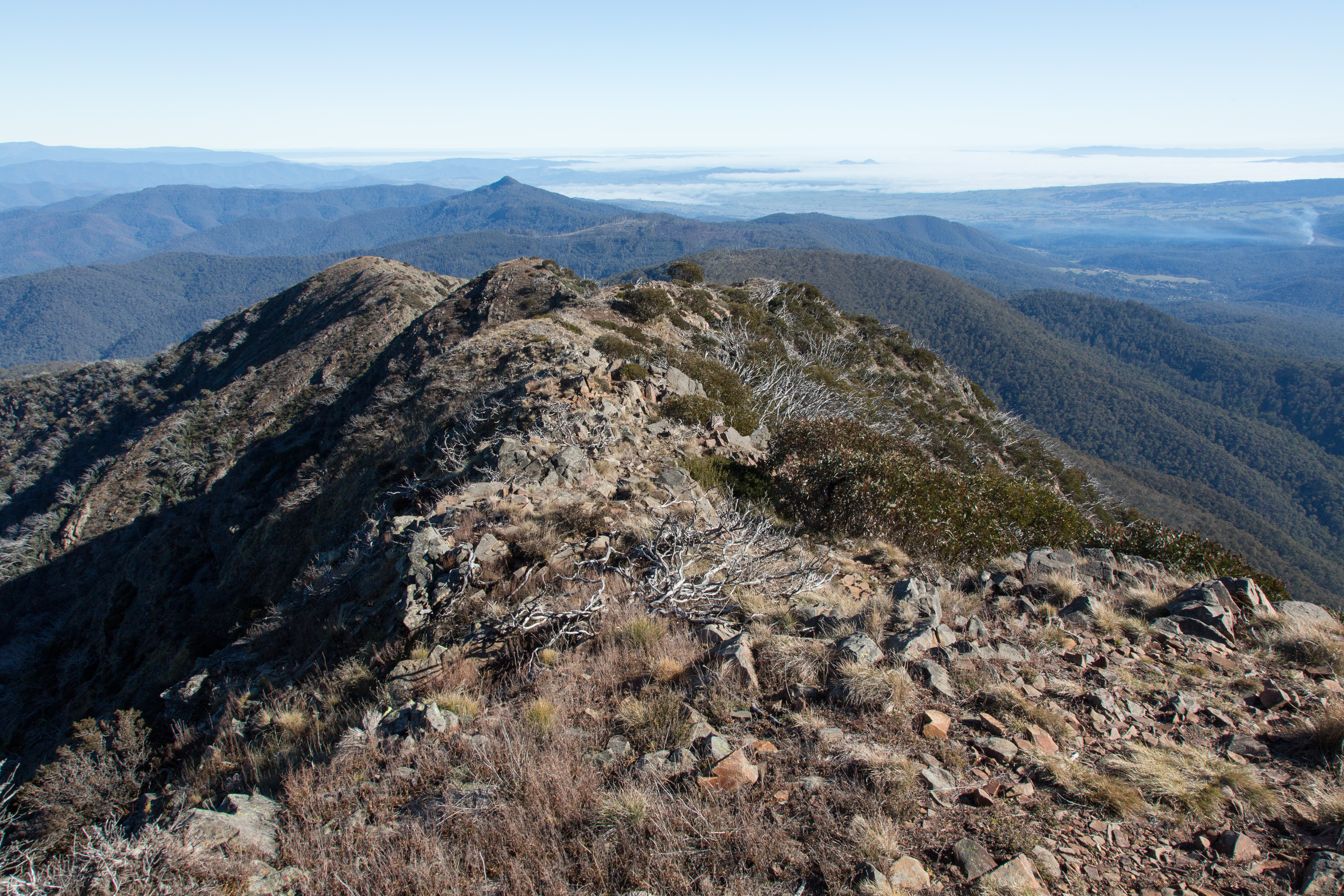
Looking towards Mount Buller's North Ridge and summit from the West Ridge

Mount Buller West Ridge with Howqua Hills in the distance

Delatite River

Mount Buller with a good spring snow cover

Red Box

Return to the last homely house

Sunset at Mt. Bullar @canonaustralia @mt_buller @mountainwatch @tourism @tourismvic @tourismaustralia @wow_australia @wow_places #wow_australia #wowmelbourne #tourismaustralia #tourismvictoria #melbournelife #mtbuller #visitmelbourne #visitaustralia #visi

Red gums
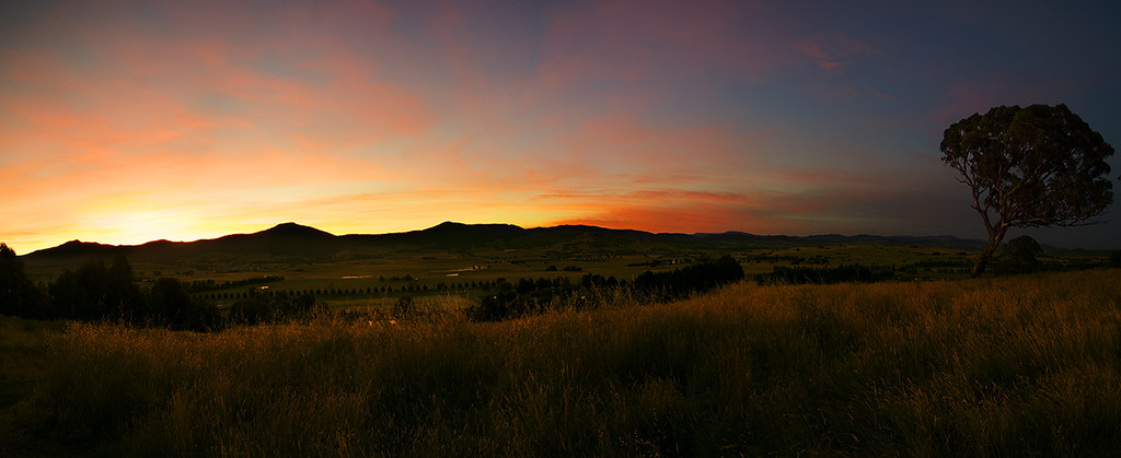
Merijig sunrise

Delatite River Rapids

Mount Buller ski resort
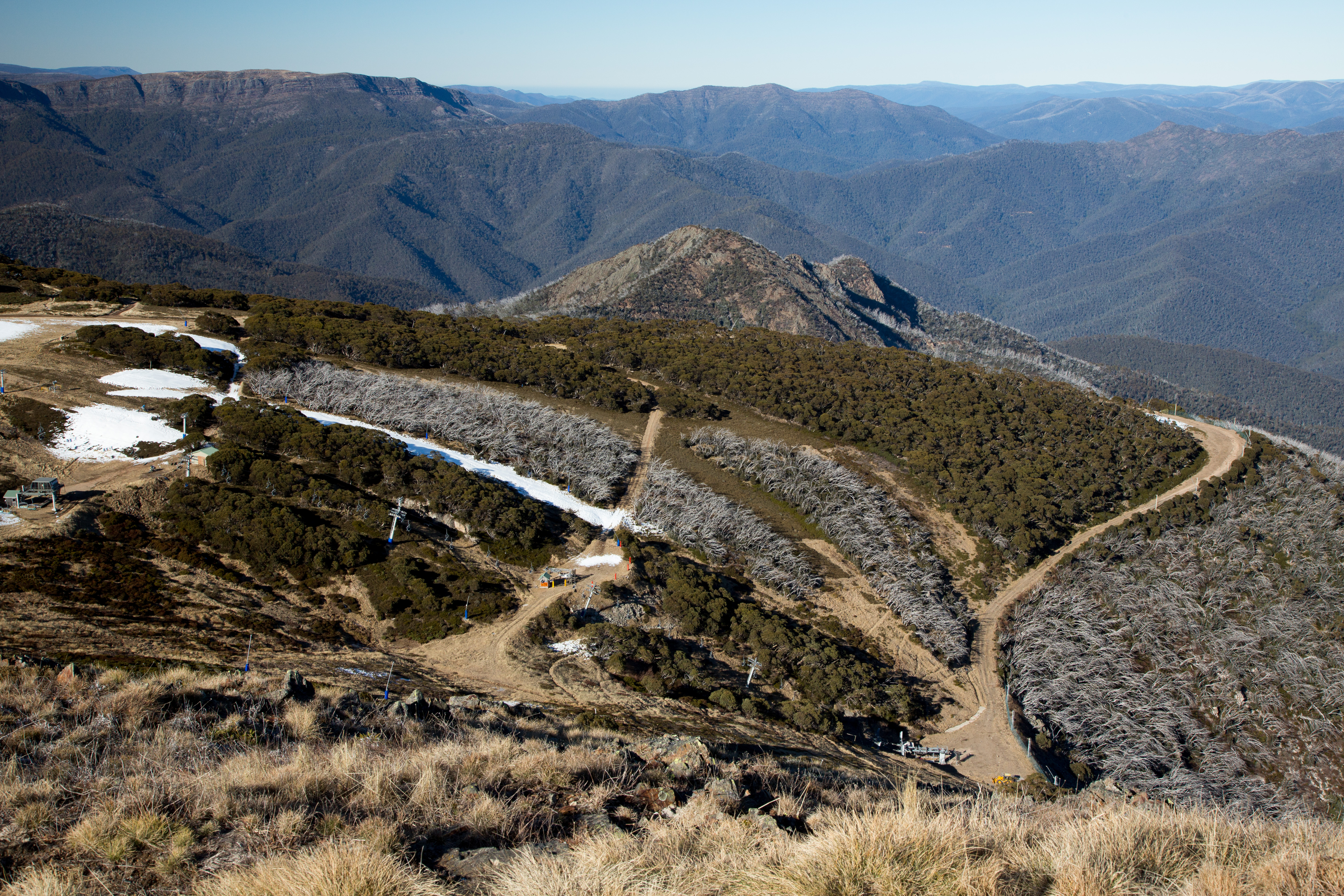
Mount Buller ski resort
Topographic Map of Merrijig VIC, Australia
Find elevation by address:

Places near Merrijig VIC, Australia:
Mount Buller
284 Burrowes Rd
5640 Mansfield-whitfield Rd
Mount Howitt
Woods Point
1 Warburton-woods Point Rd
Wangaratta Rural City
Arbuckle
Alpine National Park
38 Buffalo Creek Rd
3 Bluegum Ct
Mount Baw Baw
Mount Baw Baw Alpine Resort (unincorporated)
Baw Baw Village
Bright
Alpine Shire
Mount Porepunkah
Harrietville
Mount Hotham
35 Lawlers Ct
Recent Searches:
- Elevation of Corso Fratelli Cairoli, 35, Macerata MC, Italy
- Elevation of Tallevast Rd, Sarasota, FL, USA
- Elevation of 4th St E, Sonoma, CA, USA
- Elevation of Black Hollow Rd, Pennsdale, PA, USA
- Elevation of Oakland Ave, Williamsport, PA, USA
- Elevation of Pedrógão Grande, Portugal
- Elevation of Klee Dr, Martinsburg, WV, USA
- Elevation of Via Roma, Pieranica CR, Italy
- Elevation of Tavkvetili Mountain, Georgia
- Elevation of Hartfords Bluff Cir, Mt Pleasant, SC, USA