Elevation map of Wangaratta Rural City, Wangaratta, VIC, Australia
Location: Australia > Victoria >
Longitude: 146.471992
Latitude: -36.583848
Elevation: 326m / 1070feet
Barometric Pressure: 97KPa
Elevation Map:
Satellite Map:
Related Photos:
The Pink Barn

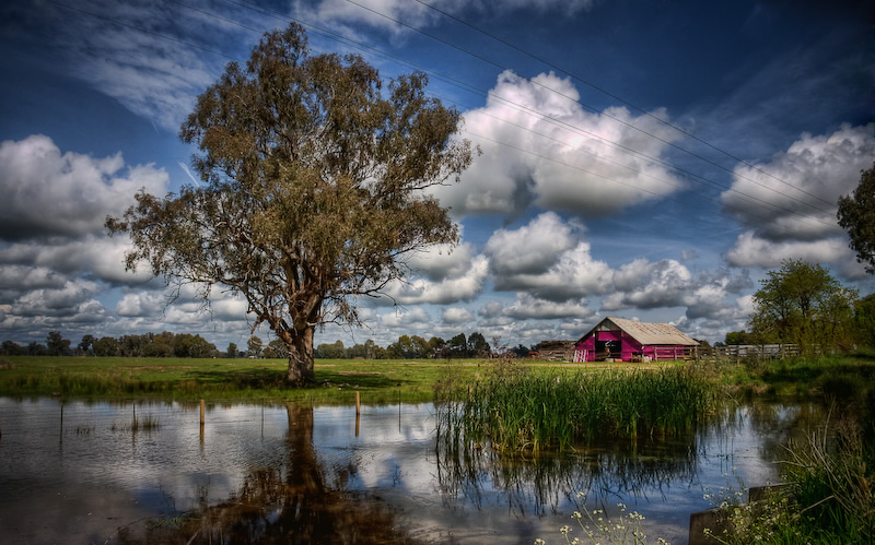
A pool with a view
20170117-_DSC5536-1116.jpg

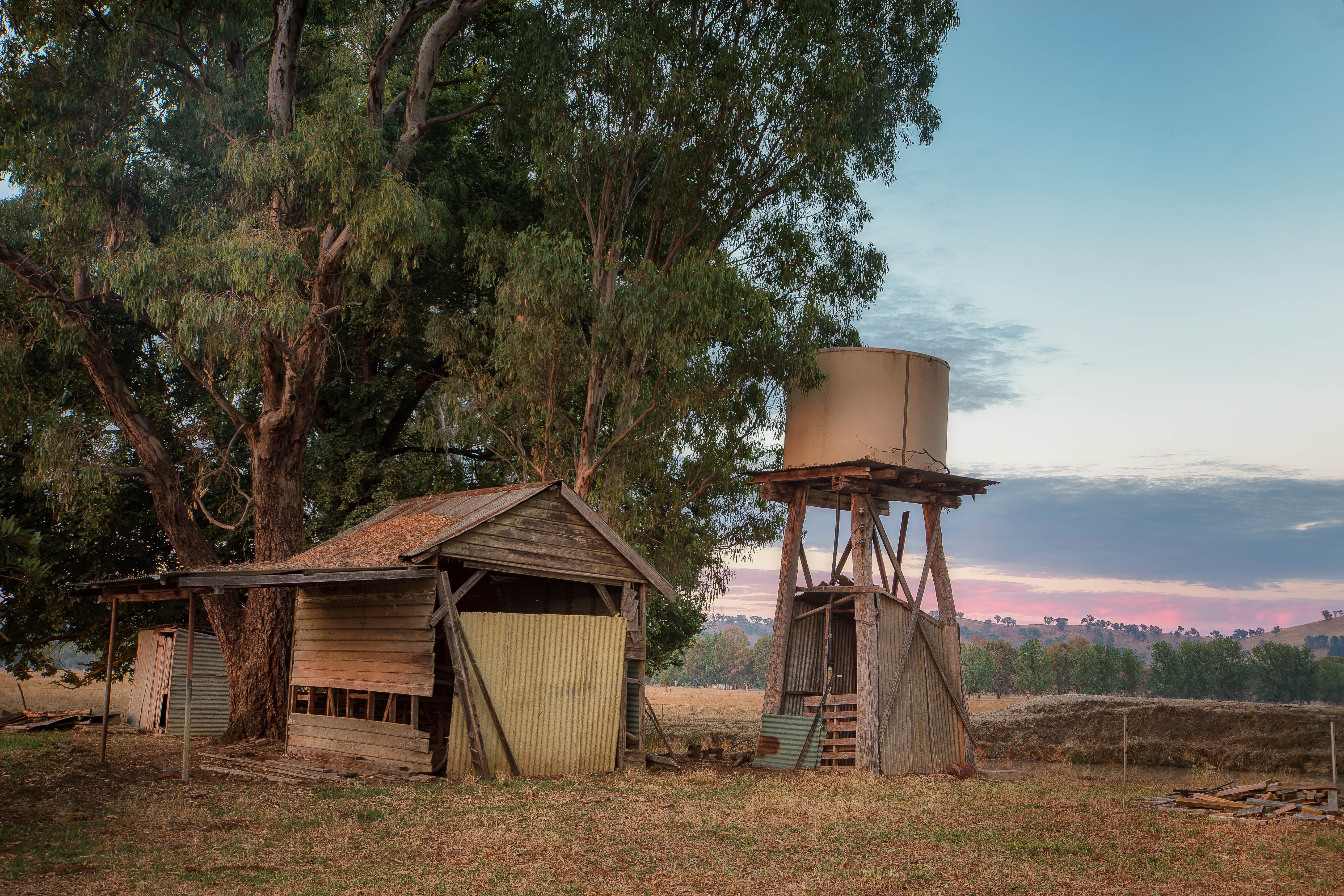
The Shed By The Tree
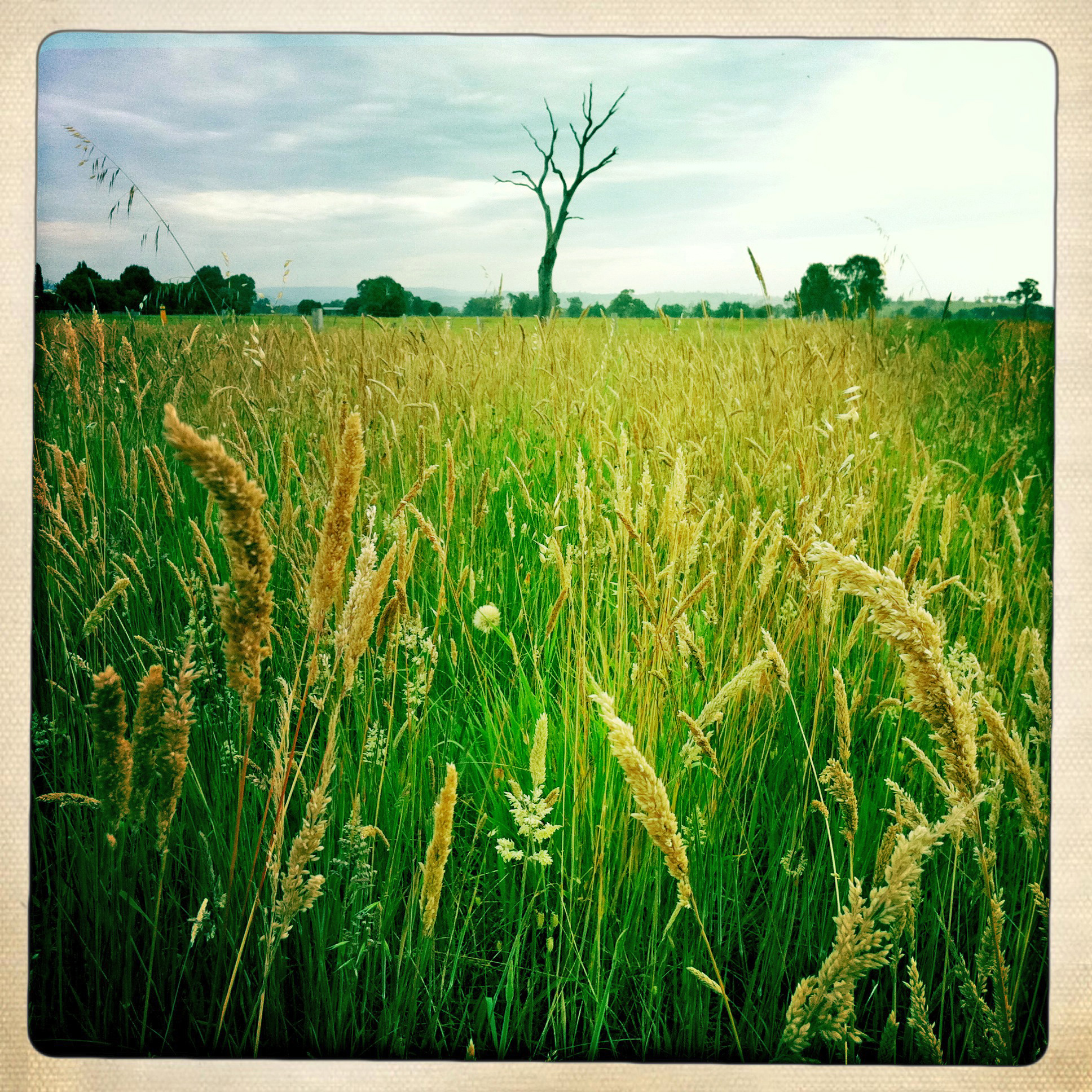
Charming Fields

Edi Upper 2015 03

The Drive Home 39

MCAV G2G 2019

2018-06-10_09-48-07

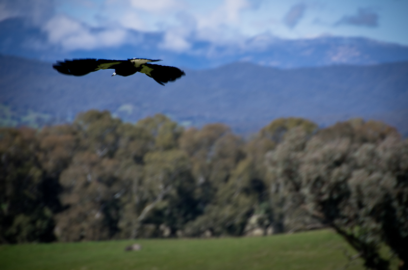
The Gang
IMGP0502.jpg

20120323_3107 flooded creek
Topographic Map of Wangaratta Rural City, Wangaratta, VIC, Australia
Find elevation by address:

Places in Wangaratta Rural City, Wangaratta, VIC, Australia:
Places near Wangaratta Rural City, Wangaratta, VIC, Australia:
5640 Mansfield-whitfield Rd
38 Buffalo Creek Rd
284 Burrowes Rd
3 Bluegum Ct
Mount Porepunkah
Kancoona
Bright
Merrijig
Mount Buller
Alpine Shire
Mount Howitt
Harrietville
20 Mountain Ave
Mount Beauty
Mount Feathertop
Mount Hotham
35 Lawlers Ct
Arlberg Hotham
Hotham Heights
Mount Hotham Alpine Resort (unincorporated)
Recent Searches:
- Elevation of Corso Fratelli Cairoli, 35, Macerata MC, Italy
- Elevation of Tallevast Rd, Sarasota, FL, USA
- Elevation of 4th St E, Sonoma, CA, USA
- Elevation of Black Hollow Rd, Pennsdale, PA, USA
- Elevation of Oakland Ave, Williamsport, PA, USA
- Elevation of Pedrógão Grande, Portugal
- Elevation of Klee Dr, Martinsburg, WV, USA
- Elevation of Via Roma, Pieranica CR, Italy
- Elevation of Tavkvetili Mountain, Georgia
- Elevation of Hartfords Bluff Cir, Mt Pleasant, SC, USA