Elevation of Harrietville VIC, Australia
Location: Australia > Victoria > Alpine Shire >
Longitude: 147.065037
Latitude: -36.888669
Elevation: 501m / 1644feet
Barometric Pressure: 95KPa
Elevation Map:
Satellite Map:
Related Photos:

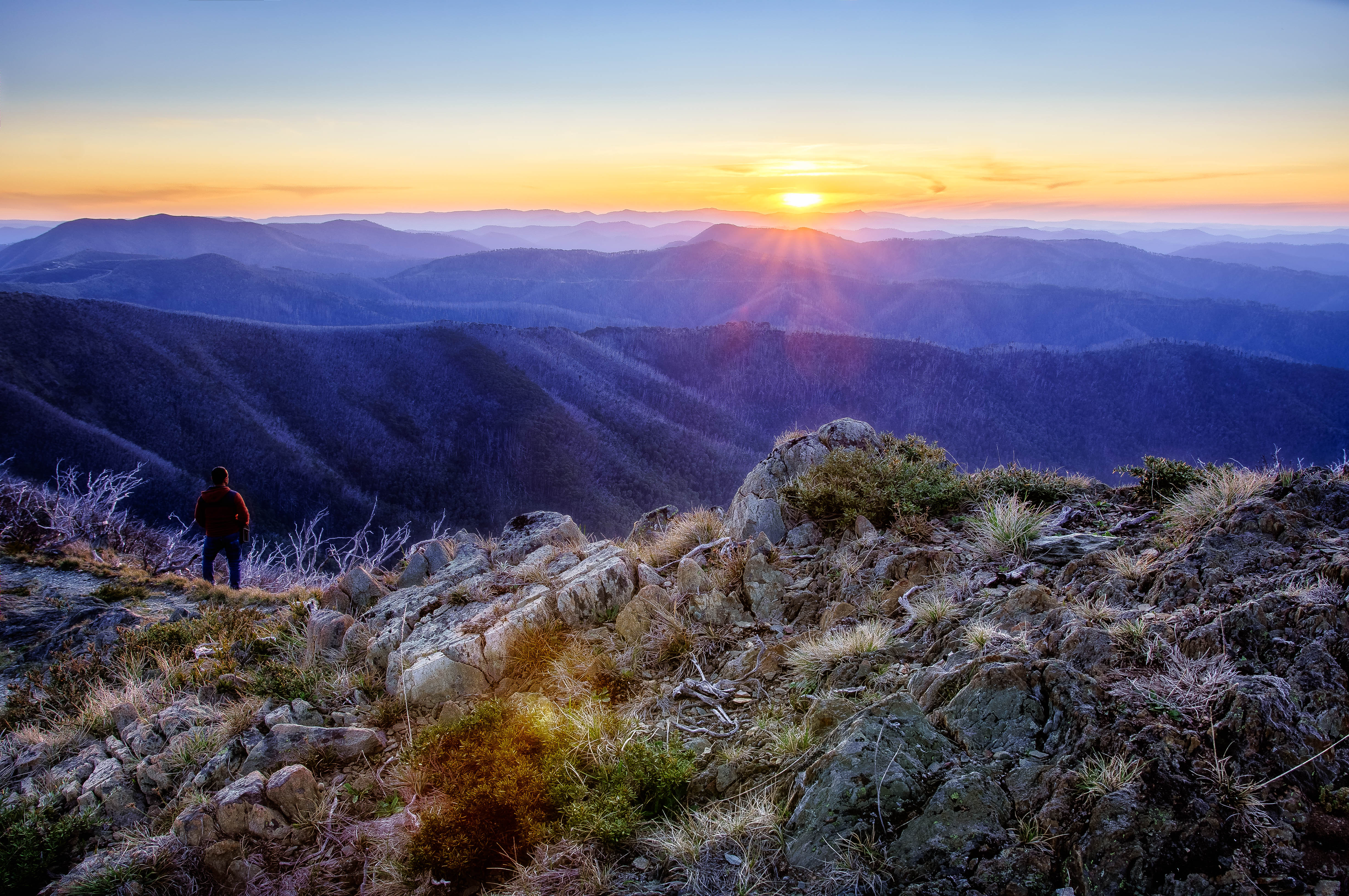
The view out toward Dinner Plain. Mt Hotham Victoria. Sunset in the High Country always impresses. #hotham #hothamalpineresort #sunset #dinnerplain #snow #snowaybro #canon #canon_photos #ski #ig_shotz #ig_bestshotz #travel #instagood #photooftheday #ige

Hull Bridge

Layers. One last view before we leave this wonderland.

Interleaving layers
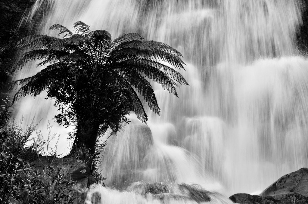
Fainter Fall's

Diamantina Hut

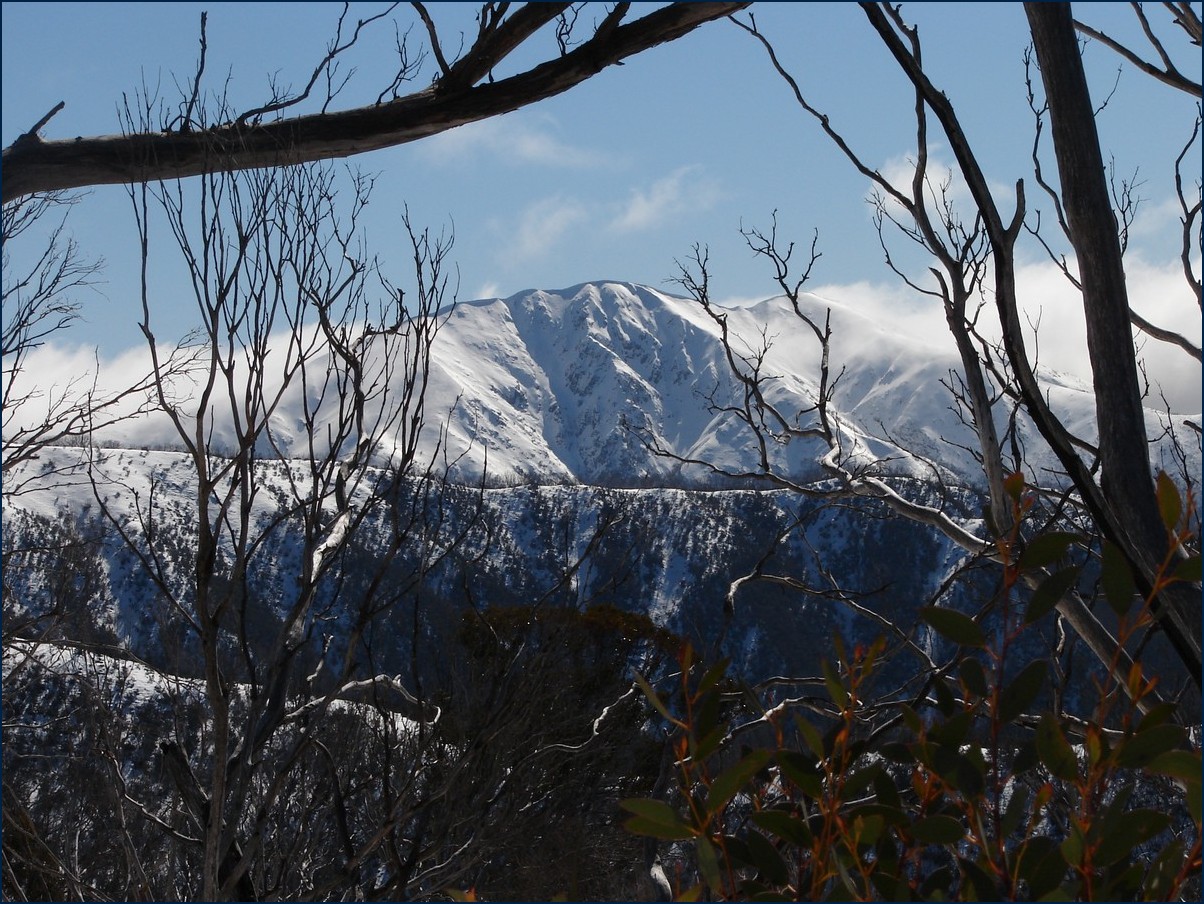
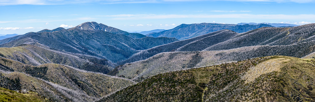
Mt Feathertop from Mt Hotham

Mt McKay
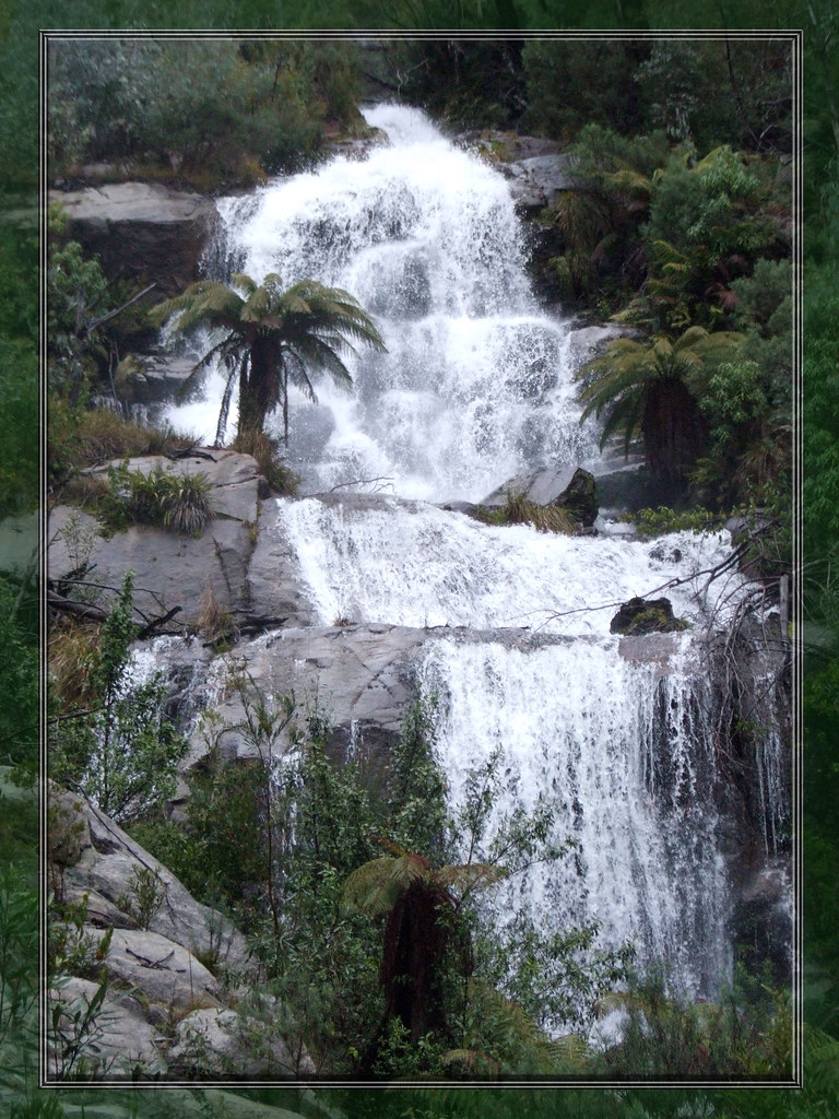
Fainter Falls

Great Alpine Road

View toward Mt Buffalo

A stroll along Machinery Spur views to Mt Feathertop and the Razorback etc. Jan 2015 1

159 Mt Hotham, Victoria

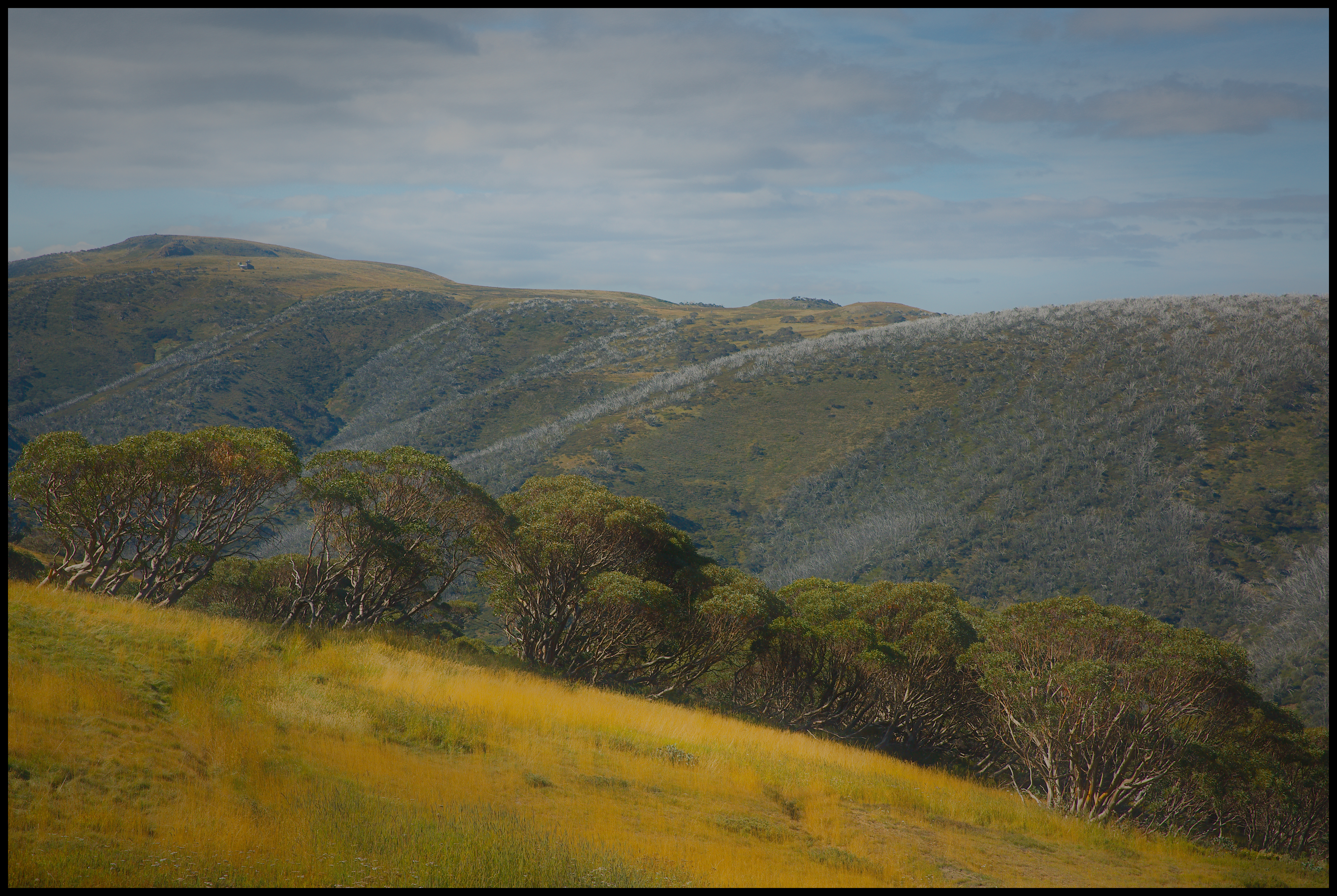
A stroll along Machinery Spur views to Swindlers Spur Jan 2015 5

Fainter Falls making a splash

A stroll along Machinery Spur views to Mt Feathertop and the Razorback - intersecting lines of bleached snow gums. Jan 2015 2

Aerial view from Mount Hotham summit
Mt Hotham, July 2013: View up the Basin ski run.
Mt Feathertop, 1922m, Australian Alps

Mt. Hotham panorama-2

Derrick hut view

Pretty Valley by Name
Reflecting on Razorback Ridge.jpg

Bristling hills -skeletons from the 2003-6 fires
_DSC4745.jpg
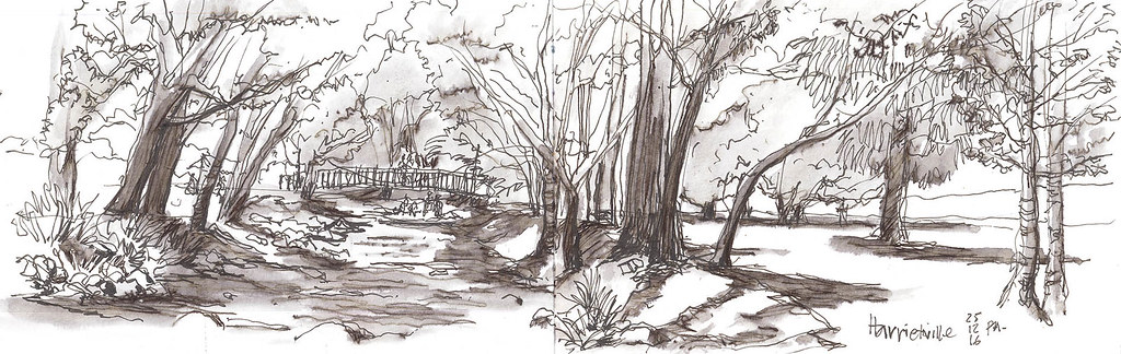
Harrietville 001
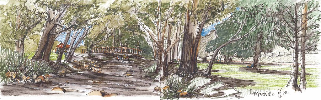
Harriettville picnic

Summer Rain

Australian Alps

Forest Layers

Great Alpine Road
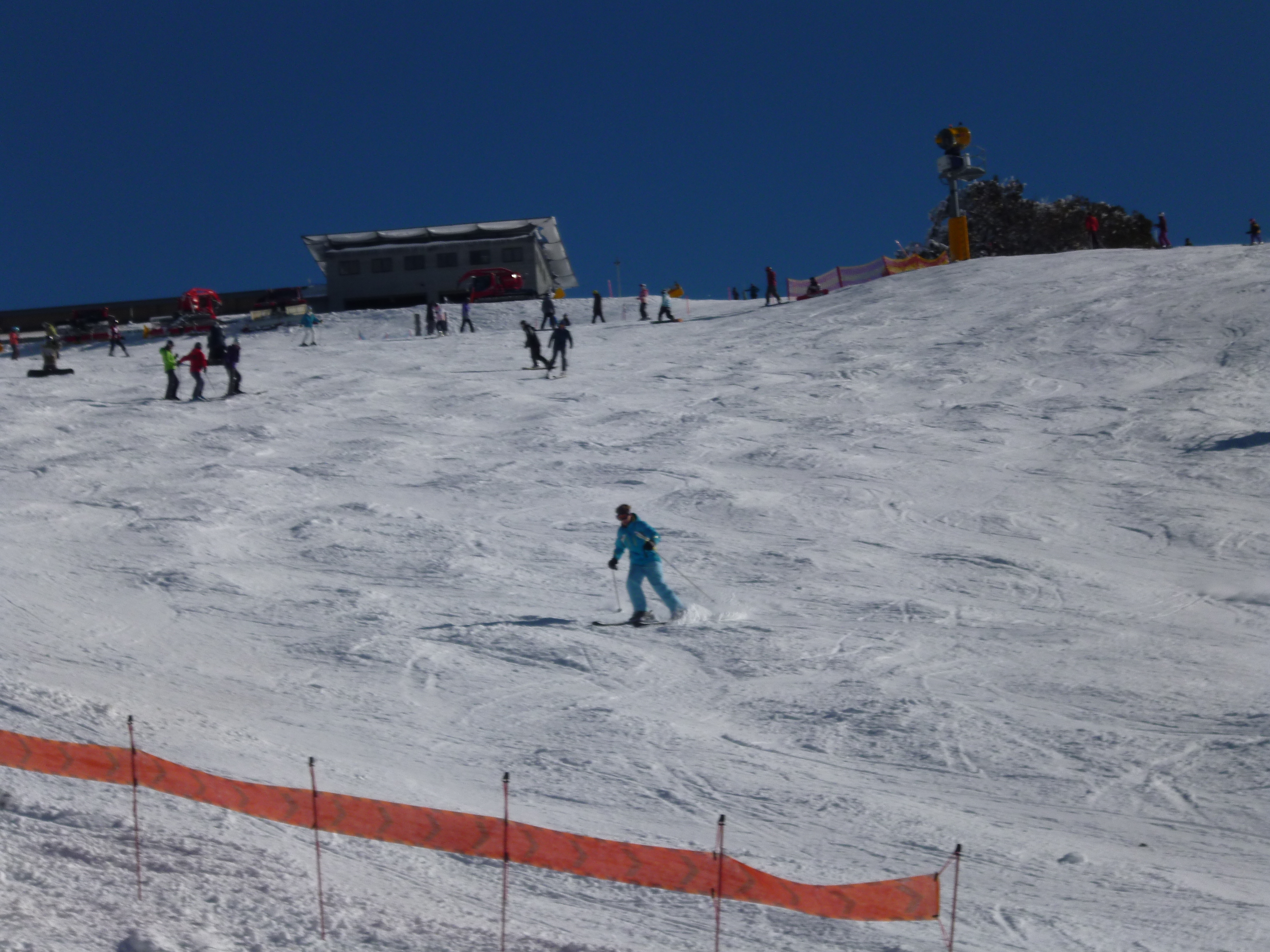
Summertime on the ski slopes

Late Afternoon

Fire Line

Aug 15 Hotham - Razorback Ridge.jpg

Mt. Feathertop

Dusk Over Mt Feathertop, Victoria, Australia

The Ovens Valley
Topographic Map of Harrietville VIC, Australia
Find elevation by address:

Places near Harrietville VIC, Australia:
Mount Feathertop
Mount Hotham
35 Lawlers Ct
Arlberg Hotham
Hotham Heights
Dibbins Hut
Mount Hotham Alpine Resort (unincorporated)
Alpine Shire
Bright
20 Mountain Ave
Mount Beauty
3 Bluegum Ct
Dinner Plain
Falls Creek
Cope Hut
Mount Porepunkah
Kancoona
32 Fox Ct
25 Fox Ct
51 Cobungra Rd
Recent Searches:
- Elevation of Corso Fratelli Cairoli, 35, Macerata MC, Italy
- Elevation of Tallevast Rd, Sarasota, FL, USA
- Elevation of 4th St E, Sonoma, CA, USA
- Elevation of Black Hollow Rd, Pennsdale, PA, USA
- Elevation of Oakland Ave, Williamsport, PA, USA
- Elevation of Pedrógão Grande, Portugal
- Elevation of Klee Dr, Martinsburg, WV, USA
- Elevation of Via Roma, Pieranica CR, Italy
- Elevation of Tavkvetili Mountain, Georgia
- Elevation of Hartfords Bluff Cir, Mt Pleasant, SC, USA