Elevation of Woodlands, NM, USA
Location: United States > New Mexico > Bernalillo County > Tijeras >
Longitude: -106.28310
Latitude: 35.1073515
Elevation: 2182m / 7159feet
Barometric Pressure: 78KPa
Elevation Map:
Satellite Map:
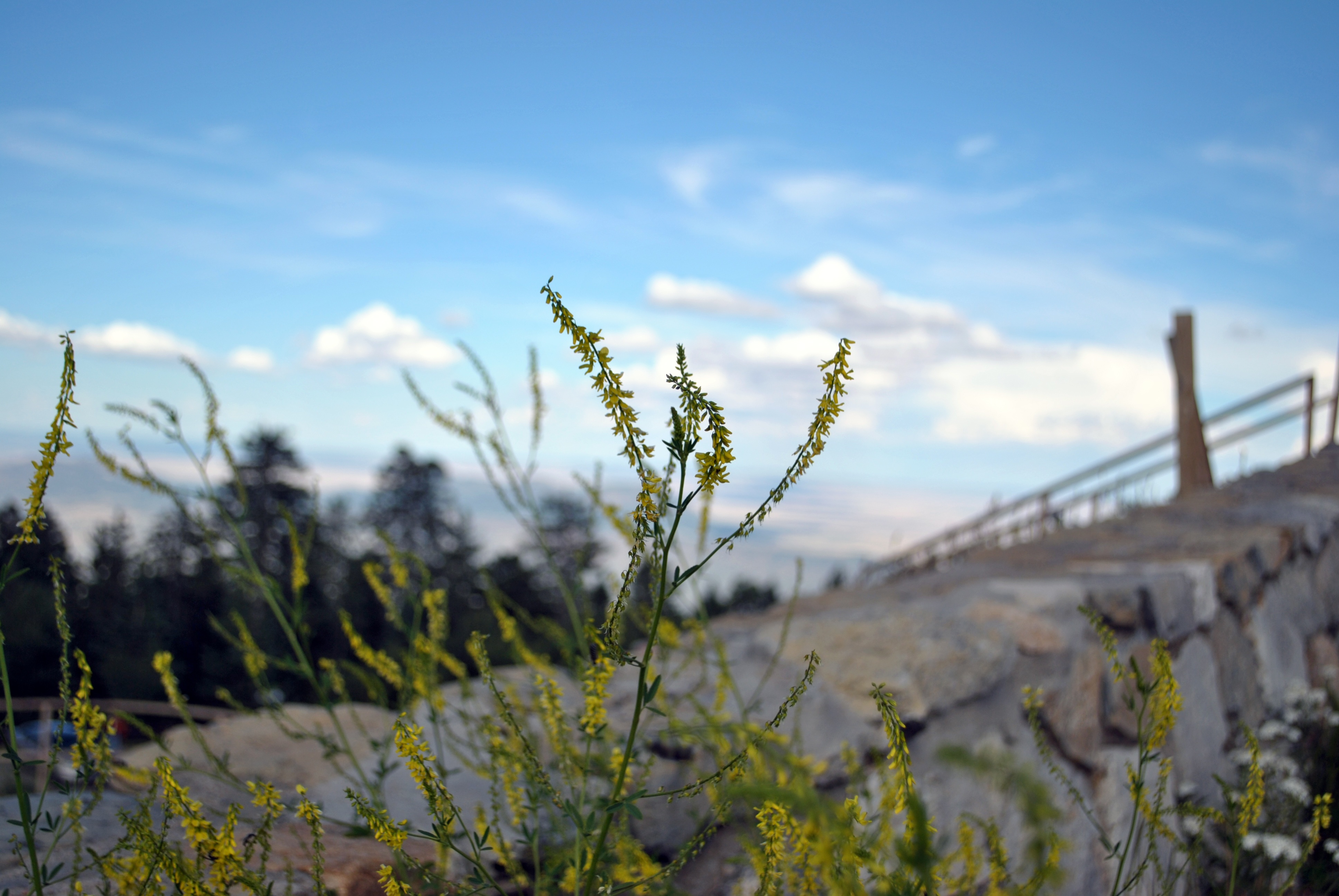
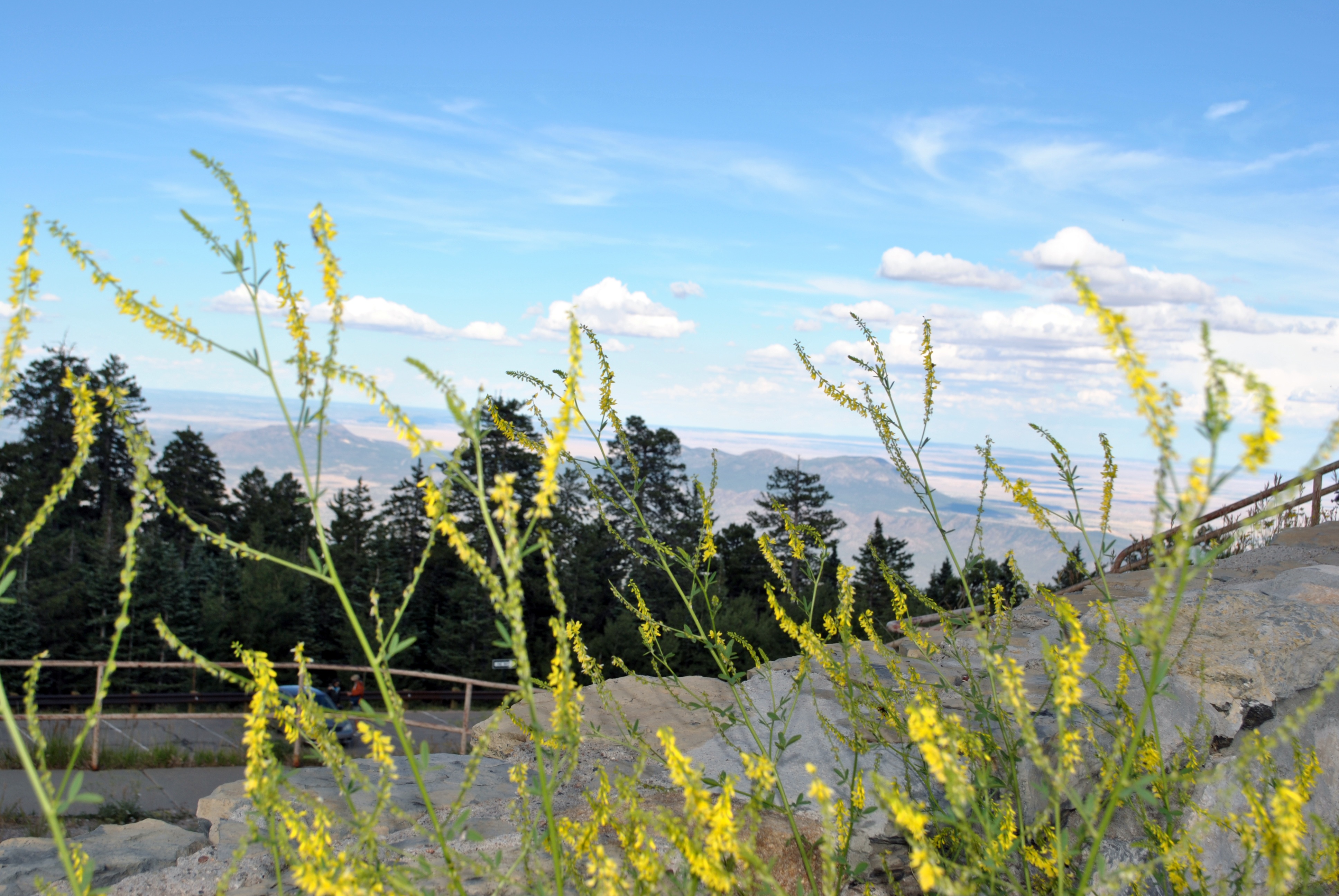
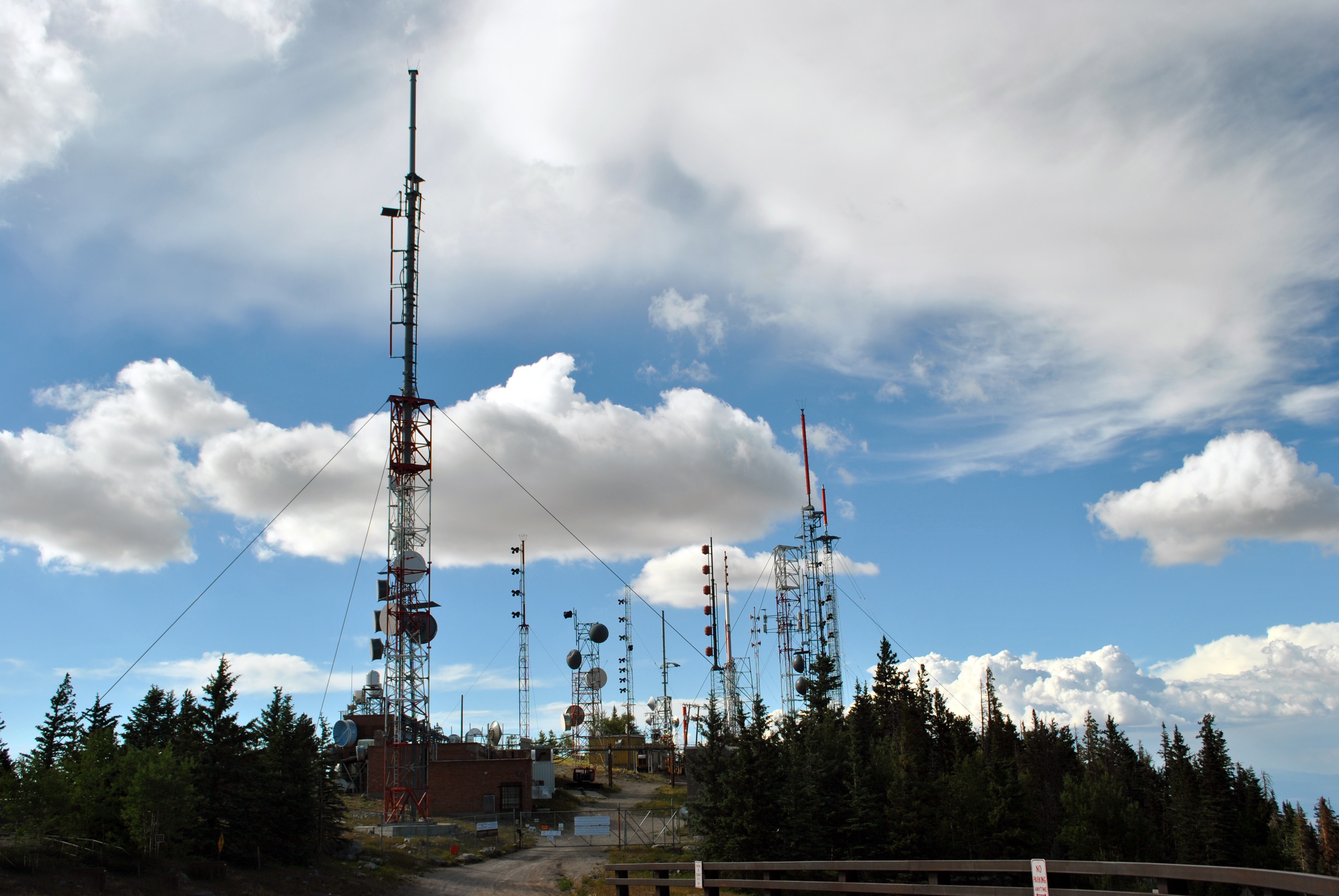
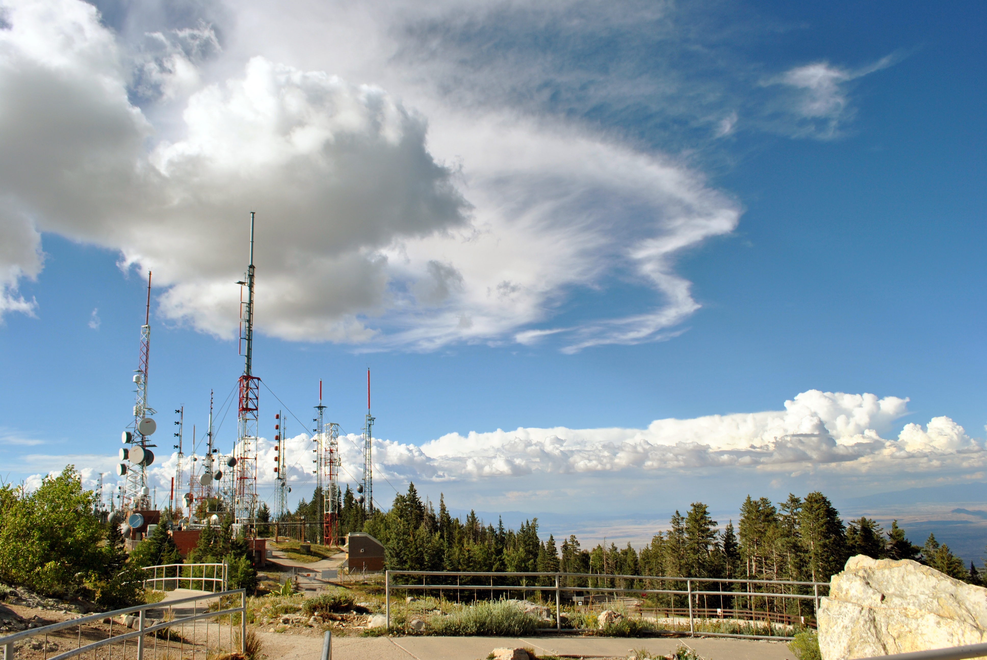
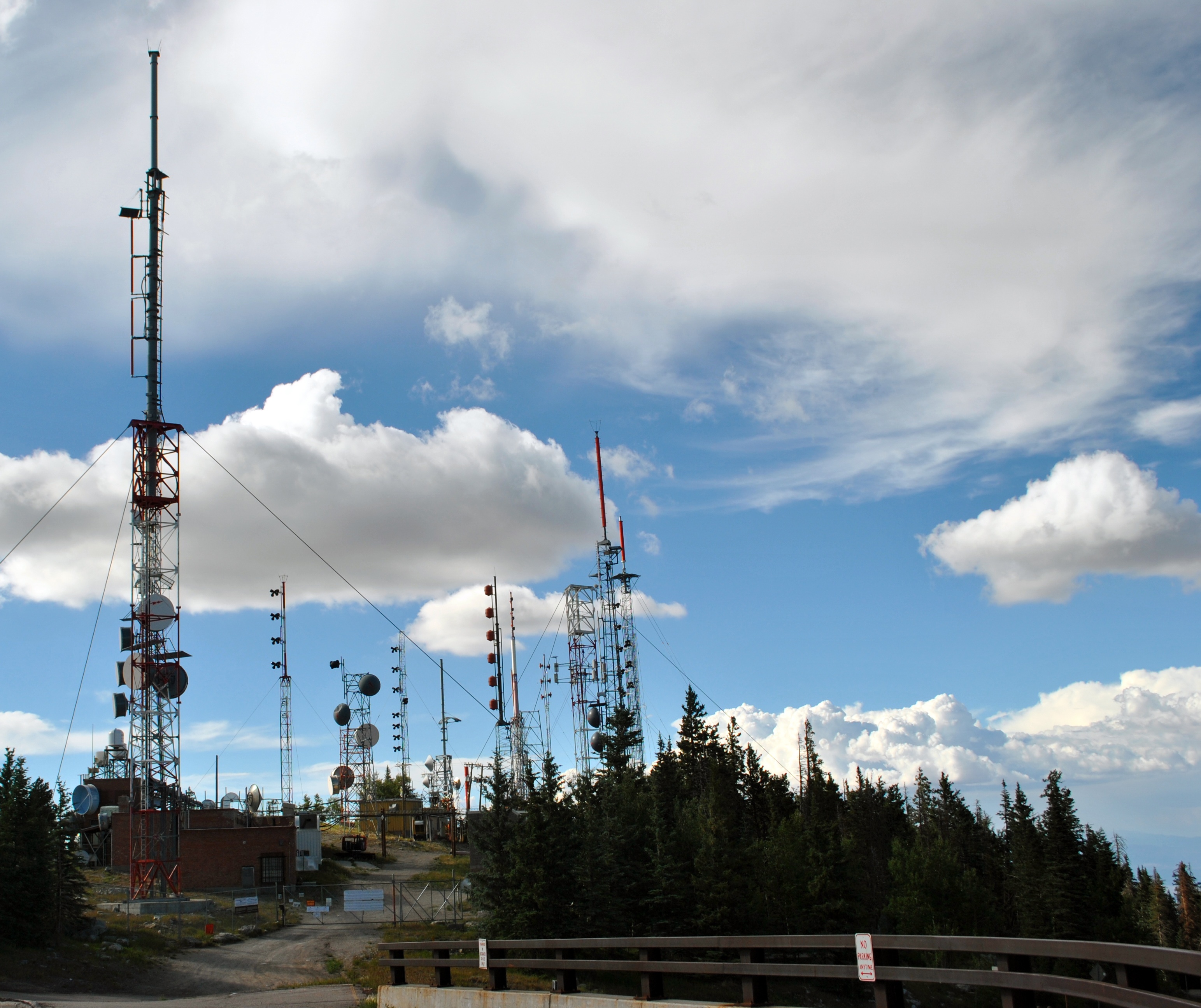
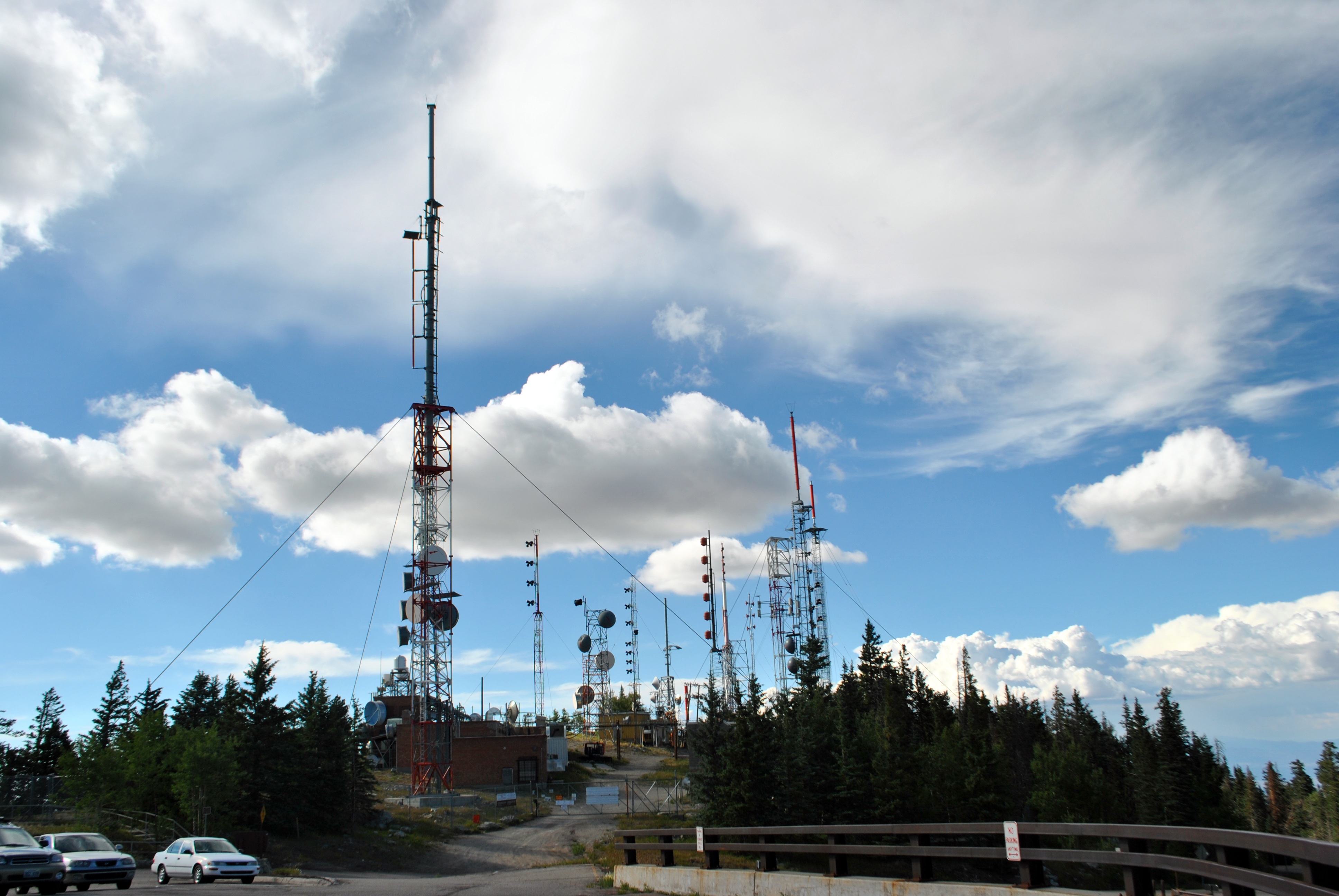
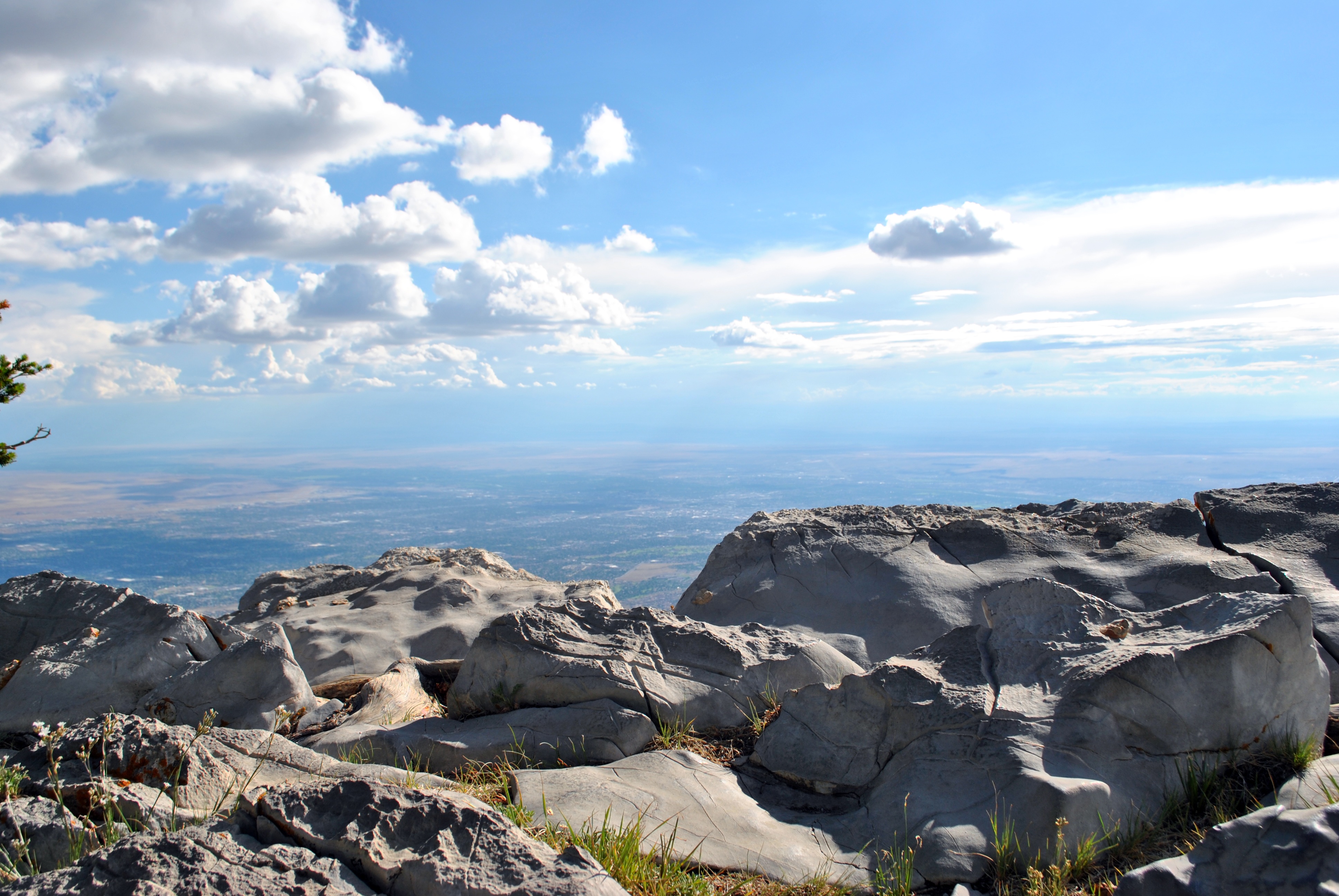
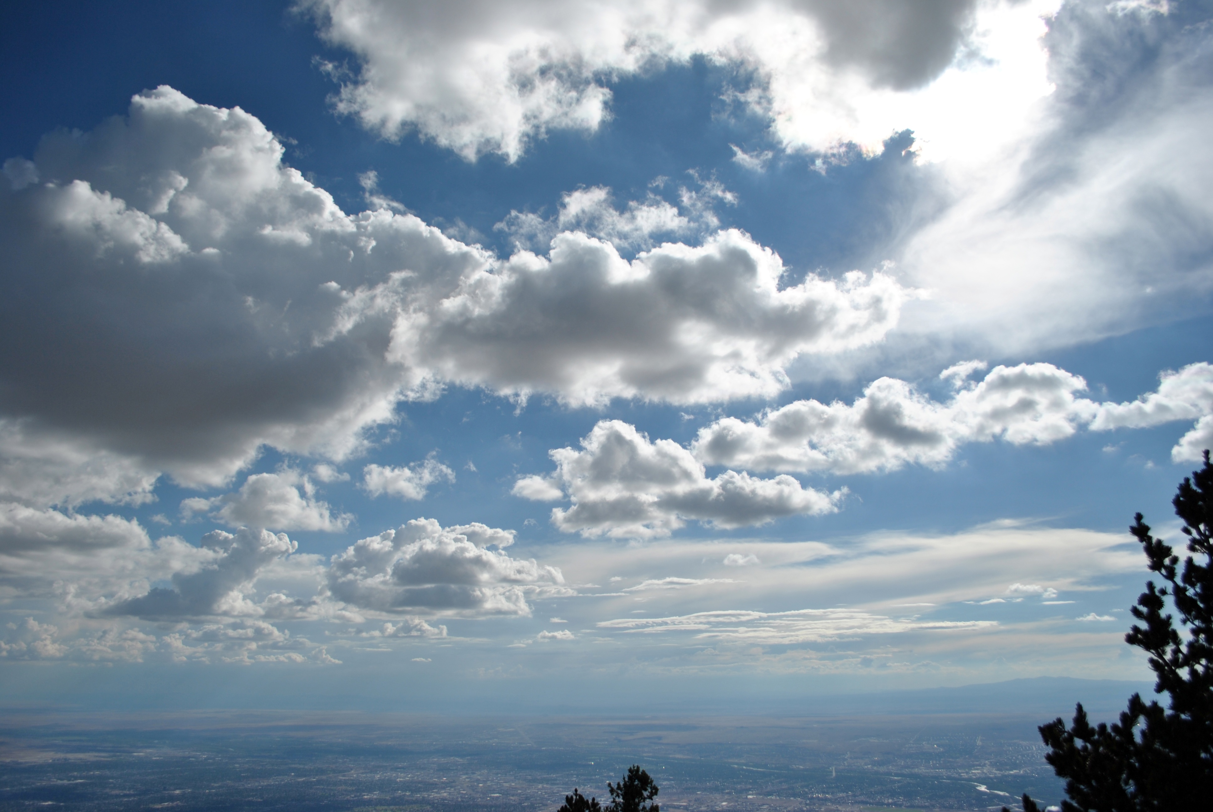
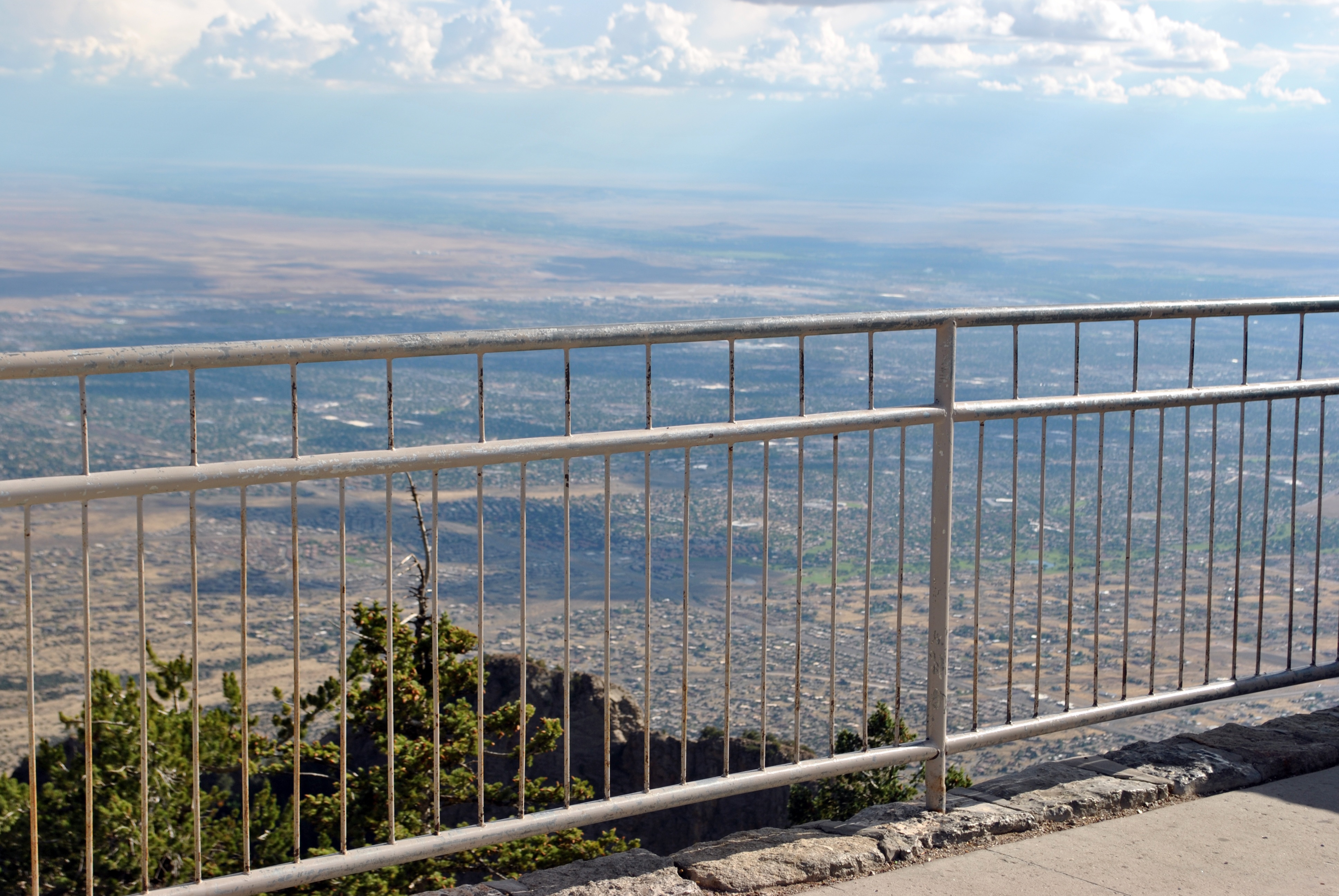
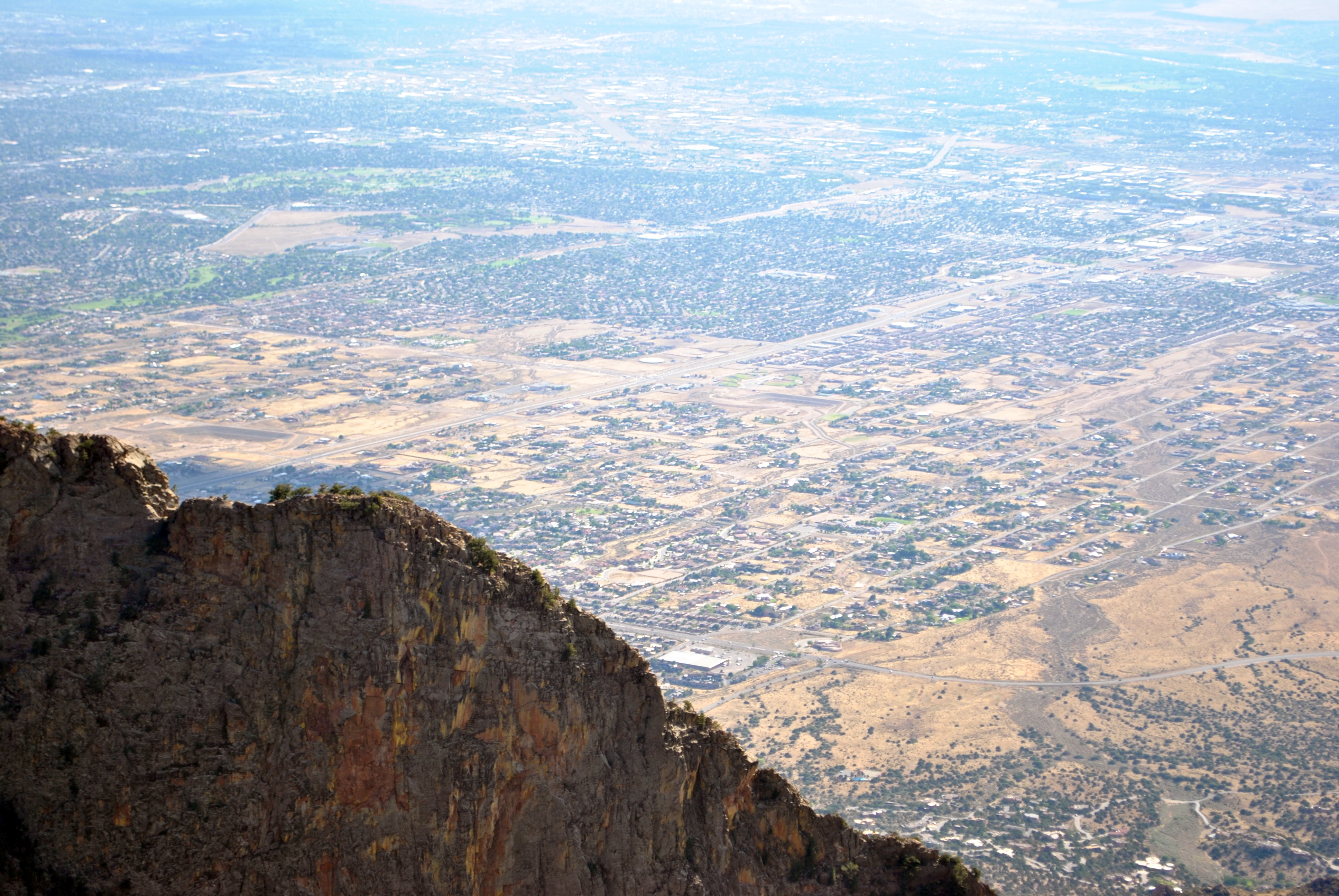
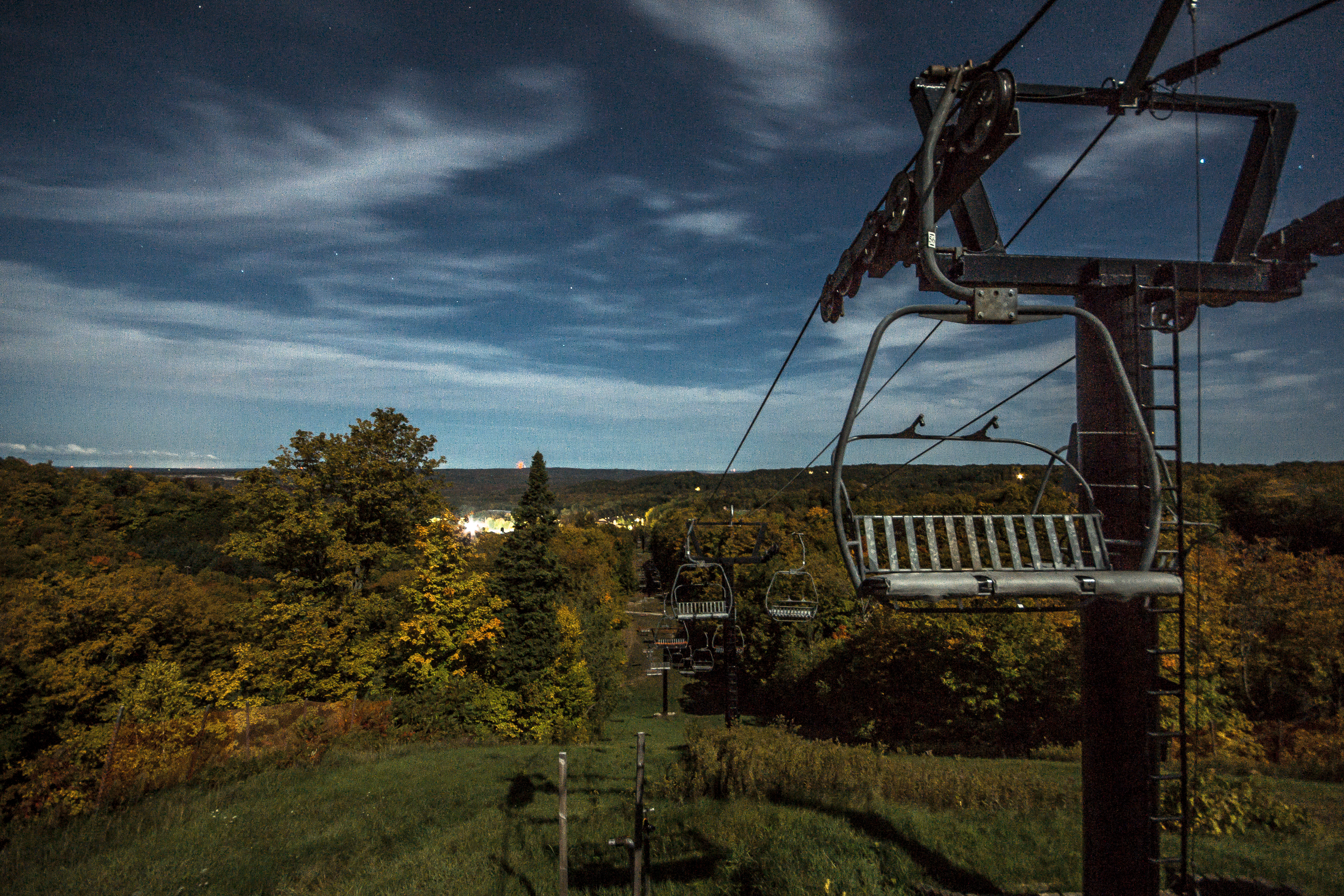
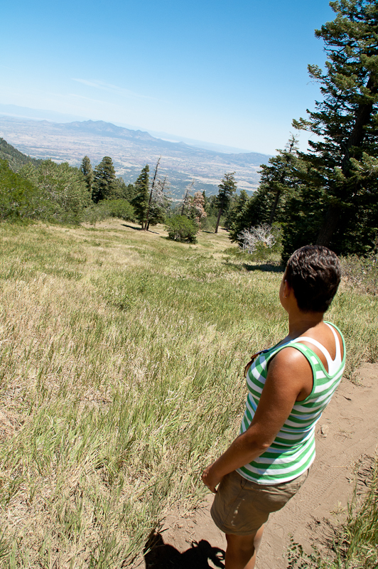
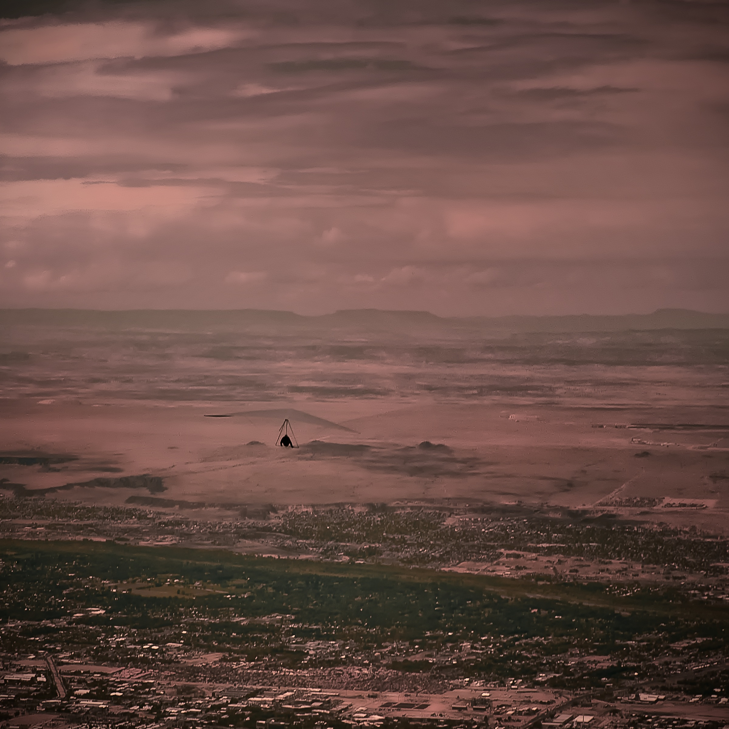
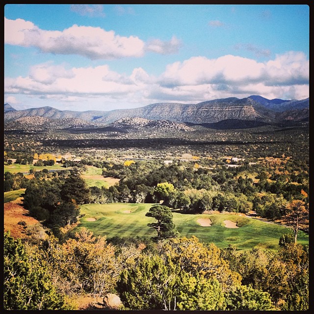
Related Photos:
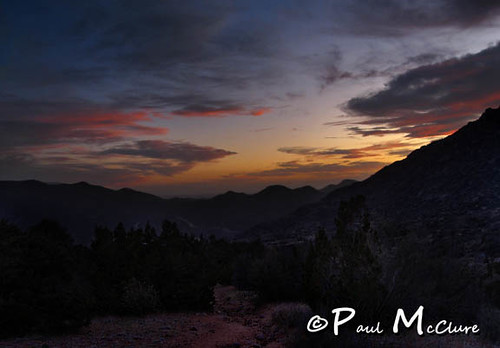
looking west
the view from my backyard...
City Lights or Lava Flow?
*DSC_0804
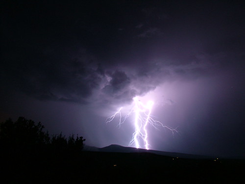
Lightning Waltz - 7/26/06 Thunderstorm From East Mountains

*DSC_0809
*DSC_0711

*DSC_0751
*DSC_0712
*DSC_0697a
*DSC_0734
*DSC_0698
*DSC_0798

Madrid, NM view.
*DSC_0699
*DSC_0773
*DSC_0731
*DSC_0748
*DSC_0766
12 09 28 My View From Here: Horseshoe Valley.
Nic's view

#paakoridge #golf #beautiful #nm #friends
Hang man.....

Well? Shall we go? Yes, let's go.

Photo taken from Sandia Park looking south
I can see fore miles and miles... #paako #golf #nm #friends #beautiful #blessed

Ranch Gate and Dramatic Clouds
3 Gun Sunset

Sandia Park Sunrise
Watermelon Mt Sunset
pink feldspar

Erysimum capitatum
Beautiful day.

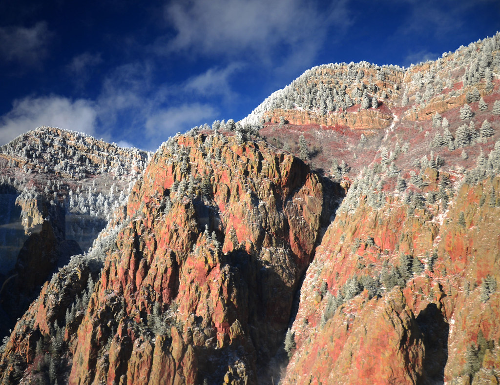
White Out
To the South

Sandia Sunrise

Gondola shadow
#sunrise in #edgewood #newmexico with the family - #roadtrip #morningwalk #earlybird
Took a hike today on the cedar crest trail #130. If only I had more time. My venture was worth the exploration. My future plans will be a full day of 32 miles. Spring time is near!
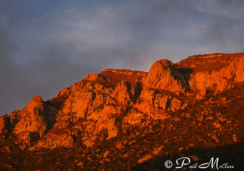
Sandia Mountain at Sunset
Topographic Map of Woodlands, NM, USA
Find elevation by address:

Places near Woodlands, NM, USA:
36 Woodlands Dr
48 Woodlands Dr
23 Sunrise View Ct
67 N Vista Valle Dr
Sedillo
Vista Valle
Woodland Hills
Sandia Derby Estates
36 Woodland Dr
Richland Meadows
43 Vallecitos Loop
135 Elite Dr
Eagle Point
Twin Pines
11 Mccall Pl
Nm Tree Removal
Richland Estates
63 Longview Dr
Mountain Valley Road
25 Western Trail Dr
Recent Searches:
- Elevation of Corso Fratelli Cairoli, 35, Macerata MC, Italy
- Elevation of Tallevast Rd, Sarasota, FL, USA
- Elevation of 4th St E, Sonoma, CA, USA
- Elevation of Black Hollow Rd, Pennsdale, PA, USA
- Elevation of Oakland Ave, Williamsport, PA, USA
- Elevation of Pedrógão Grande, Portugal
- Elevation of Klee Dr, Martinsburg, WV, USA
- Elevation of Via Roma, Pieranica CR, Italy
- Elevation of Tavkvetili Mountain, Georgia
- Elevation of Hartfords Bluff Cir, Mt Pleasant, SC, USA