Elevation of Vista Valle, Tijeras, NM, USA

Location: United States > New Mexico > Bernalillo County > Tijeras >

Longitude: -106.27354

Latitude: 35.0932655

Elevation: 2114m / 6936feet

Barometric Pressure: 78KPa

Elevation Map:

elevation map of Vista Valle, Tijeras, NM, USA

Satellite Map:

Satellite map of Vista Valle, Tijeras, NM, USA

Related Photos:

sunset moon newmexico twilight foryou silhoutette nikon18200mmf3556gvr nikond300
looking west
city sunset newmexico clouds albuquerque sandiamountains sandiapeaktramway
City Lights or Lava Flow?
sandiapeak albuquerque landscape mountains nm sky trees
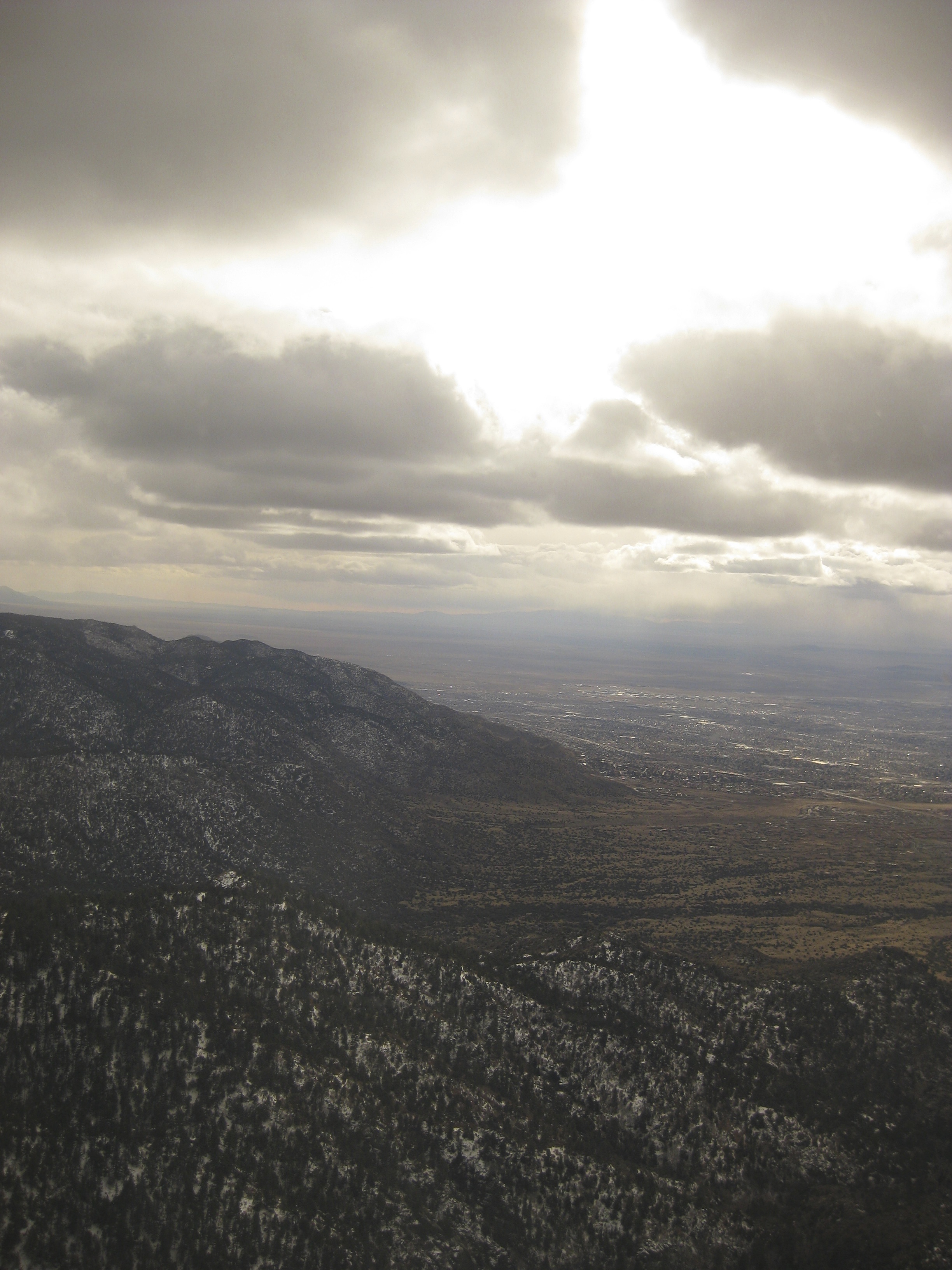
View to the East from Sandia Peak
sunset newmexico film polaroid polaroid600 sandiapeak frommyyard slr690 roidweek2008 buticantuploadthisitsayslimitreached sighisitwithin24hoursthesameday
the view from my backyard...
sky storm mountains newmexico rain weather electric night power purple dancing albuquerque paula bolts thunderstorm lightning soe sandia volts darksky sandiapark beautifulearth worldweather paulena weatherphotography sanpedrooverlook
Lightning Waltz - 7/26/06 Thunderstorm From East Mountains
sunset panorama newmexico nature rural landscape widescreen edgewood iphone iphoneography iphone5s
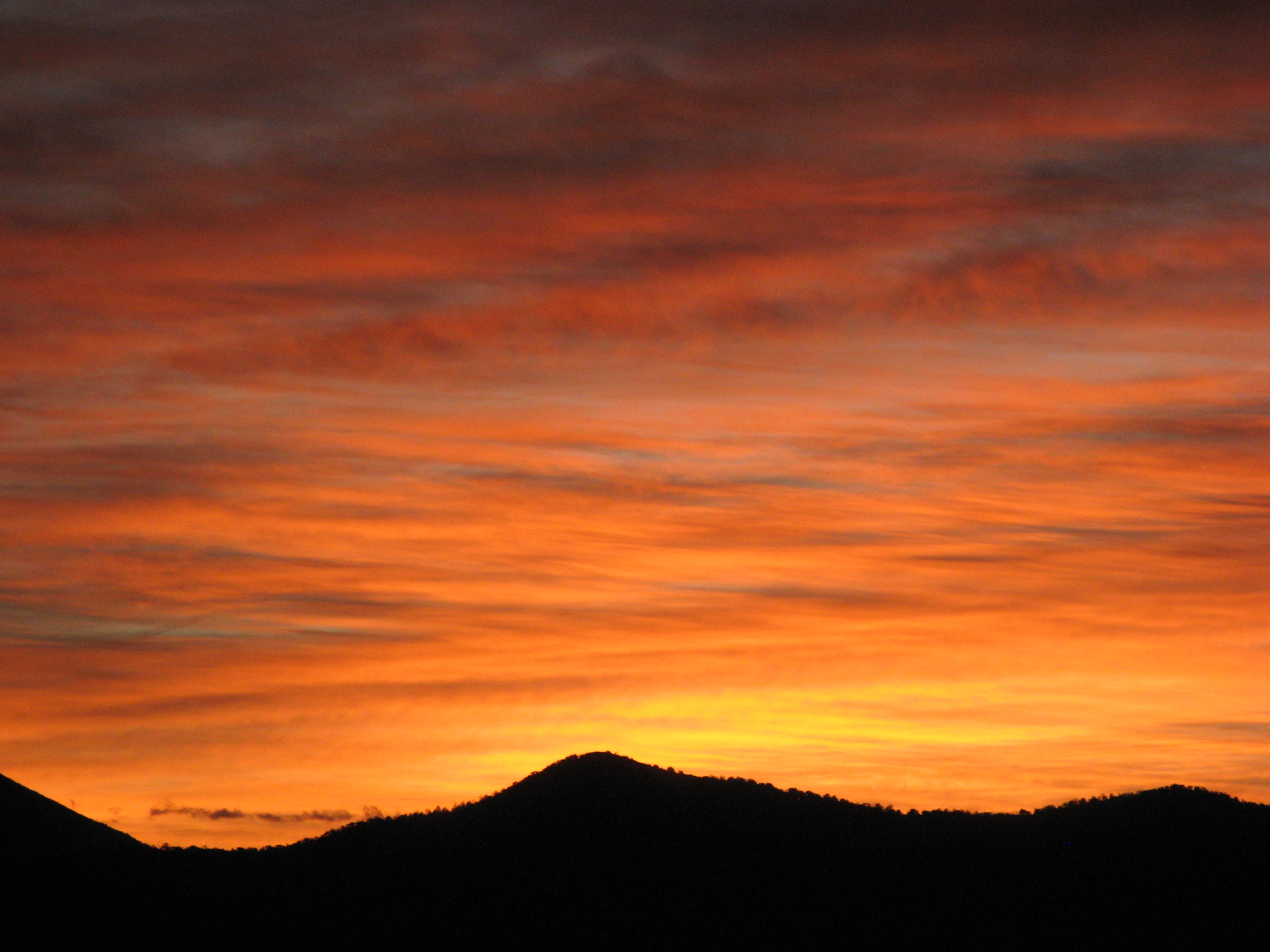
Sunset - Edgewood, NM
sky storm mountains newmexico rain weather electric night purple bright albuquerque paula bolts thunderstorm lightning sandia volts darksky sandiapark worldweather paulena sanpedrooverlook regionwide
Jellyfish - July 26th, '06 Thunderstorm From East Mountains
abq albuquerque americanwest embudocanyon hdr highdynamicrange hiking nature newmexico outdoors sandiamountains sky southwest theamericanwest thewest view west
Looking toward i-40 and Three Gun Springs Trail
sky storm mountains newmexico santafe clouds forest route66 66 route tramway canyons sandia sandiapeak riograndevalley tramcar sandiafoothills cibolanationalforest nationalscenicbyway sandiapeaktramway
View from tram to Sandia Peak
newmexico route66 albuquerque
Route 66, East of Albuquerque, New Mexico 1975
12 09 28 My View From Here: Horseshoe Valley.
12 09 29 My View From Here: Treetoptrekking.
snow ski mountains newmexico santafe forest route66 tram 66 route cables tramway canyons sandia sandiapeak riograndevalley tramcar sandiafoothills cibolanationalforest nationalscenicbyway sandiapeaktramway
View from Sandia Peak at 10,678 feet
newmexico 3d anaglyph tinkertown loreolensinacap
3d TinkerTown Radar the dog
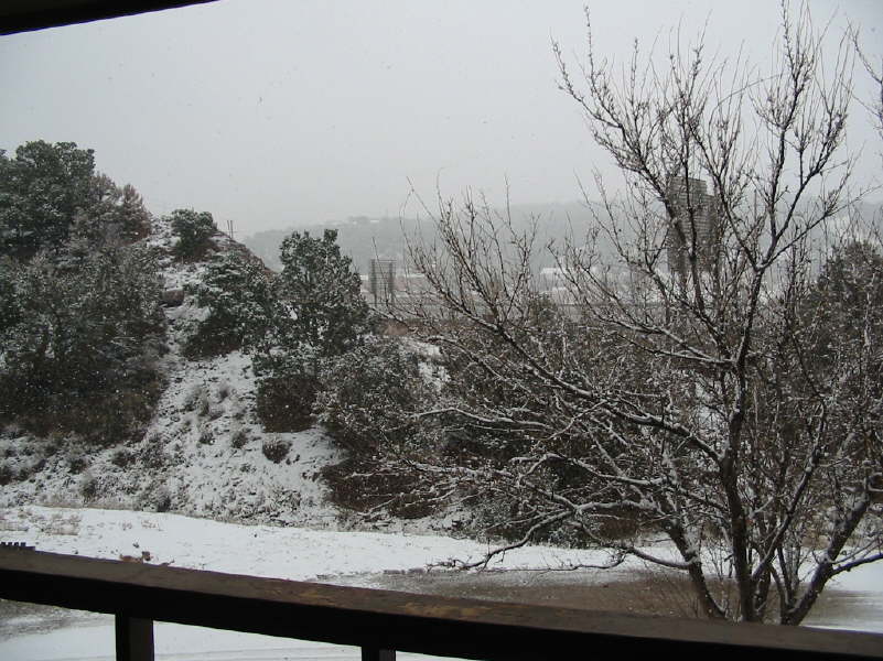
winter snow newmexico canyon tijeras
light snow
abq albuquerque americanwest embudocanyon hdr highdynamicrange hiking nature newmexico outdoors sandiamountains sky southwest theamericanwest thewest view west
Looking back to ABQ, distant Mt. Taylor
3d stereo
Stereo TinkerTown-0081
winter snow newmexico canyon tijeras
winter blast
sky snow storm ski mountains newmexico santafe clouds forest route66 tram albuquerque 66 route cables cablecar tramway canyons sandia sandiapeak riograndevalley tramcar sandiafoothills cibolanationalforest nationalscenicbyway sandiapeaktramway
View from tram to Sandia Peak
abq albuquerque americanwest embudocanyon hdr highdynamicrange hiking nature newmexico outdoors sandiamountains sky southwest theamericanwest thewest view west
Neat clouds
usa newmexico unitedstates roadtrip edgewood gracebaptistchurch countyroad7 mountainviewelementaryschool edgewoodelementaryschool valleyviewchristianchurch plazaloop eastmountainassemblyofgodchurch edgewoodbelieversfellowshipchurch edgewoodpostoffice moriartyelementaryschool moriartyhighschool moriartymiddleschool aboutmytripdotcom
New Mexico
gecondit grantcondit sunset landscape nm newmexico 6d sandiapark sandiamountains rockymountains nmtrue
Sunset with a friend
newmexico cedarcrest roadrunner bugsbunny bunny tracks xing snow looneytunes looneytracks
Bugs Bunny & The Roadrunner
newmexico bladderpod bernalillocounty lesquerellaovalifolia
Bladderpod, Lesquerella ovalifolia
usa newmexico geotagged unitedstates monticello tijeras {vision}:{outdoor}=099 {vision}:{sky}=062 {vision}:{plant}=0747 {vision}:{mountain}=0883 {geo}:{lat}=3509627178 {geo}:{lon}=10642848958
South Crest Trail
mountains newmexico canon ps sandias
Watermelon Mt Sunset
forsale myhouse homerenovation nikond3 nikon20mmf28d
front courtyard
usa newmexico geotagged unitedstates casaloma cedarcrest {vision}:{outdoor}=099 {vision}:{clouds}=0885 {vision}:{mountain}=0904 {vision}:{ocean}=0567 {vision}:{sky}=0897 {geo}:{lat}=3511094323 {geo}:{lon}=10642434387
CCC Trail
usa newmexico geotagged unitedstates tijeras cedarcrest {vision}:{outdoor}=099 {vision}:{clouds}=0791 {vision}:{mountain}=0971 {vision}:{plant}=0603 {vision}:{sky}=084 {geo}:{lat}=3509397780 {geo}:{lon}=10641112848
South Crest Trail
grass waiting bokeh beckett magichour vladimir f20 estragon nikond3 nikon85mmf14ais
Well? Shall we go? Yes, let's go.
road trip snow ski newmexico point landscape hill peak crest wanderlust mount tip summit 2012 turquoisetrail lbnature
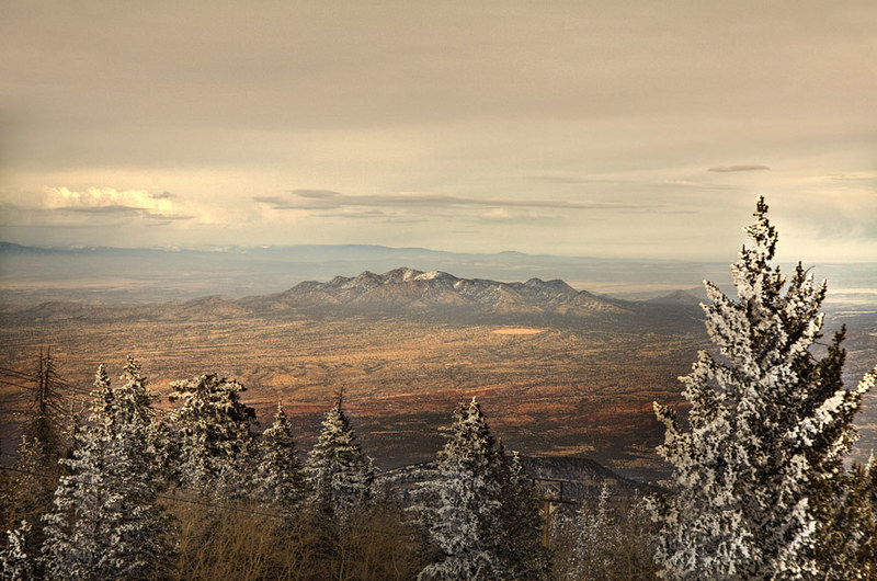
Photo taken from Sandia Park looking south
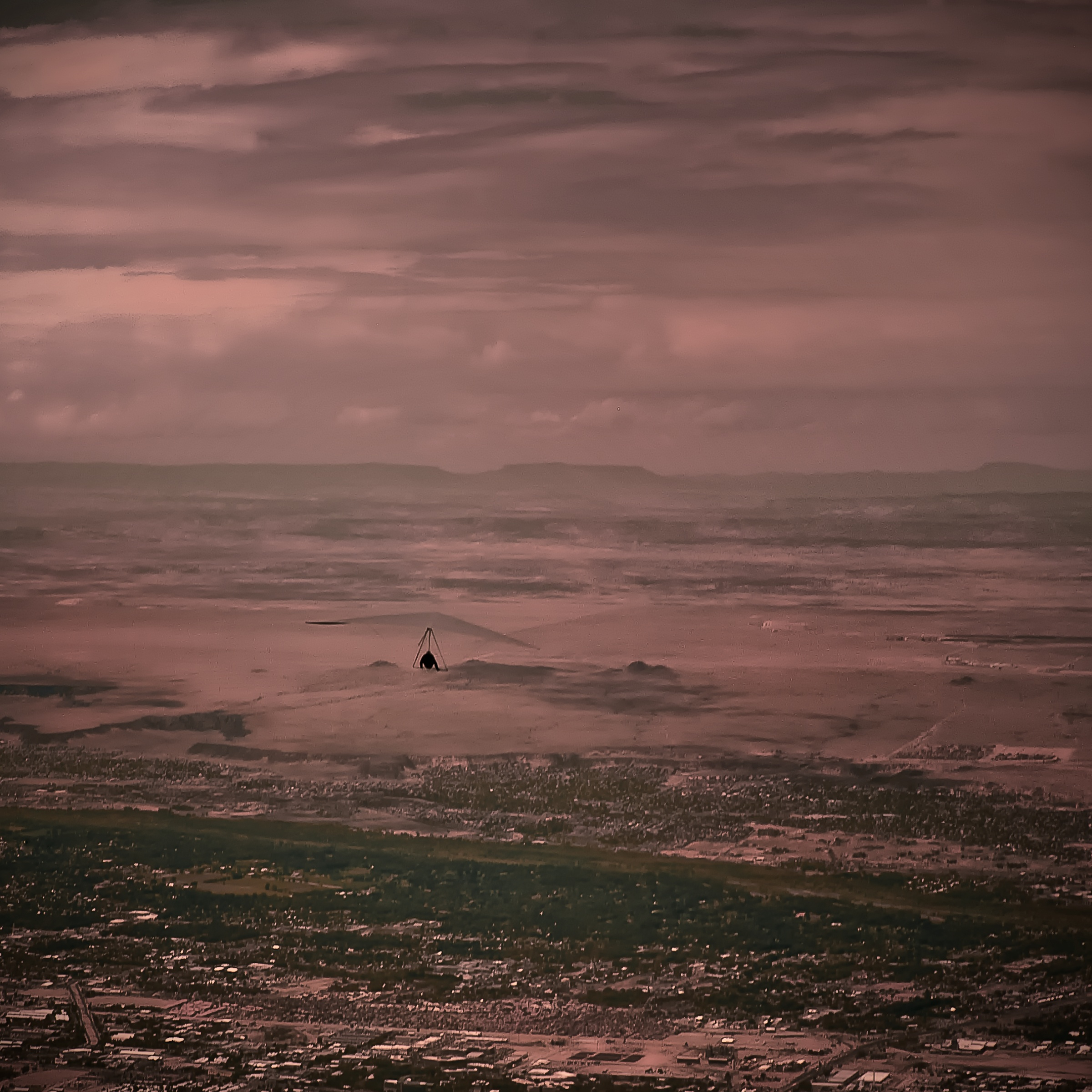
vacation newmexico clouds landscape nuvens d100 ferias hangglider sandiapark sandiapick wanilton sandiapeek
Hang man.....
square squareformat clarendon iphoneography instagramapp uploaded:by=instagram
#sunrise in #edgewood #newmexico with the family - #roadtrip #morningwalk #earlybird
newmexico sunrise day cloudy sandiapark
Another Day in Paradise
newmexico fire bucket helicopter copter tijeras bcfd
1 copter bucket brigade