Elevation of 25 Western Trail Dr, Tijeras, NM, USA
Location: United States > New Mexico > Bernalillo County > Tijeras > Sandia Mountain Ranch >
Longitude: -106.26248
Latitude: 35.0823313
Elevation: 2116m / 6942feet
Barometric Pressure: 78KPa
Elevation Map:
Satellite Map:
Related Photos:
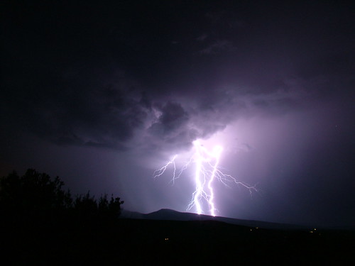
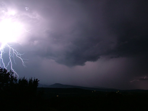
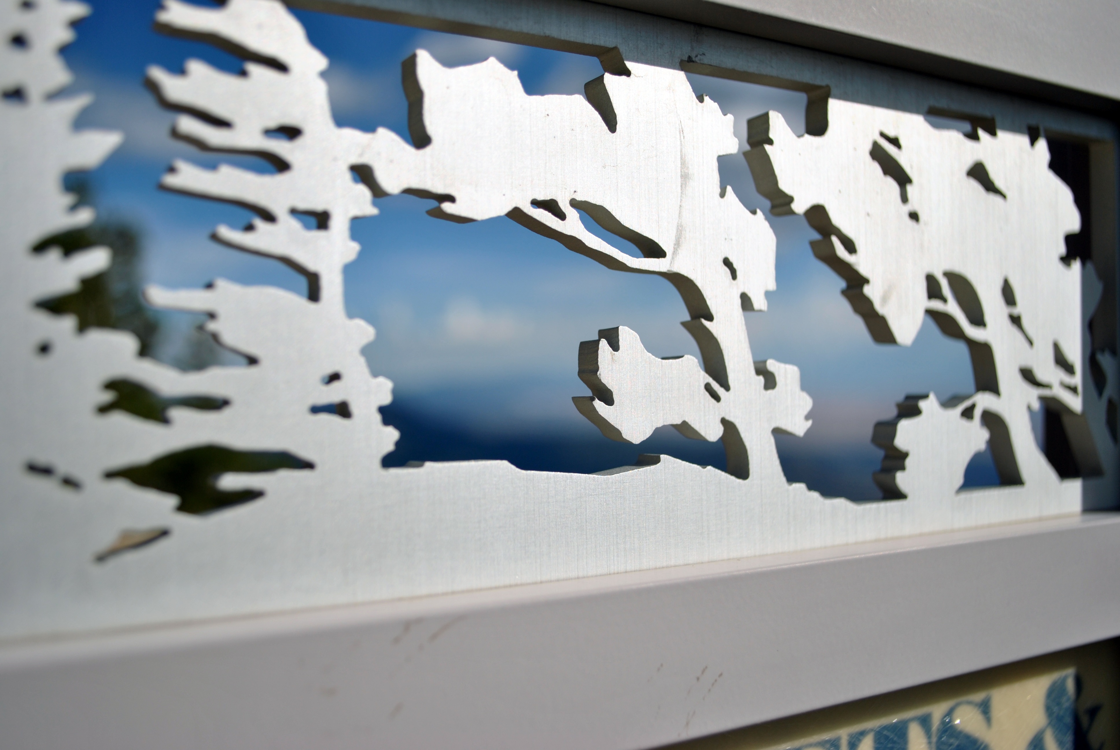
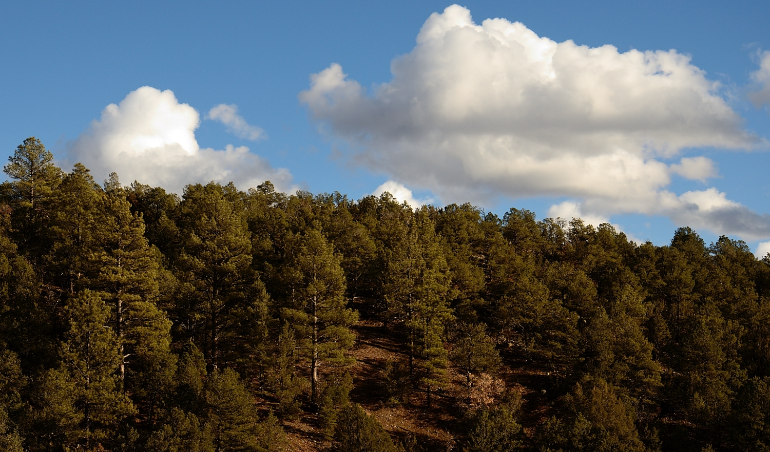
Lightning Waltz - 7/26/06 Thunderstorm From East Mountains
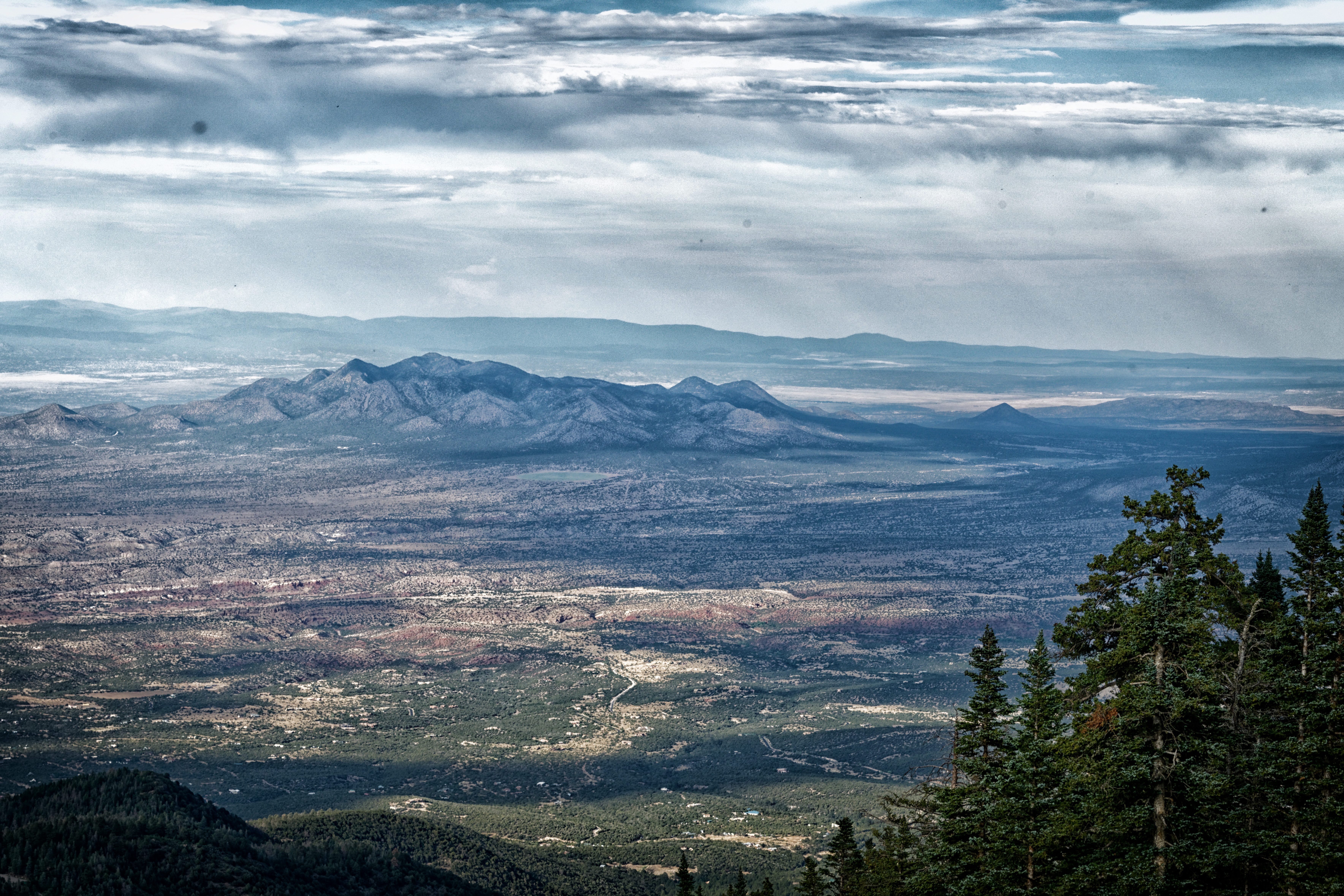
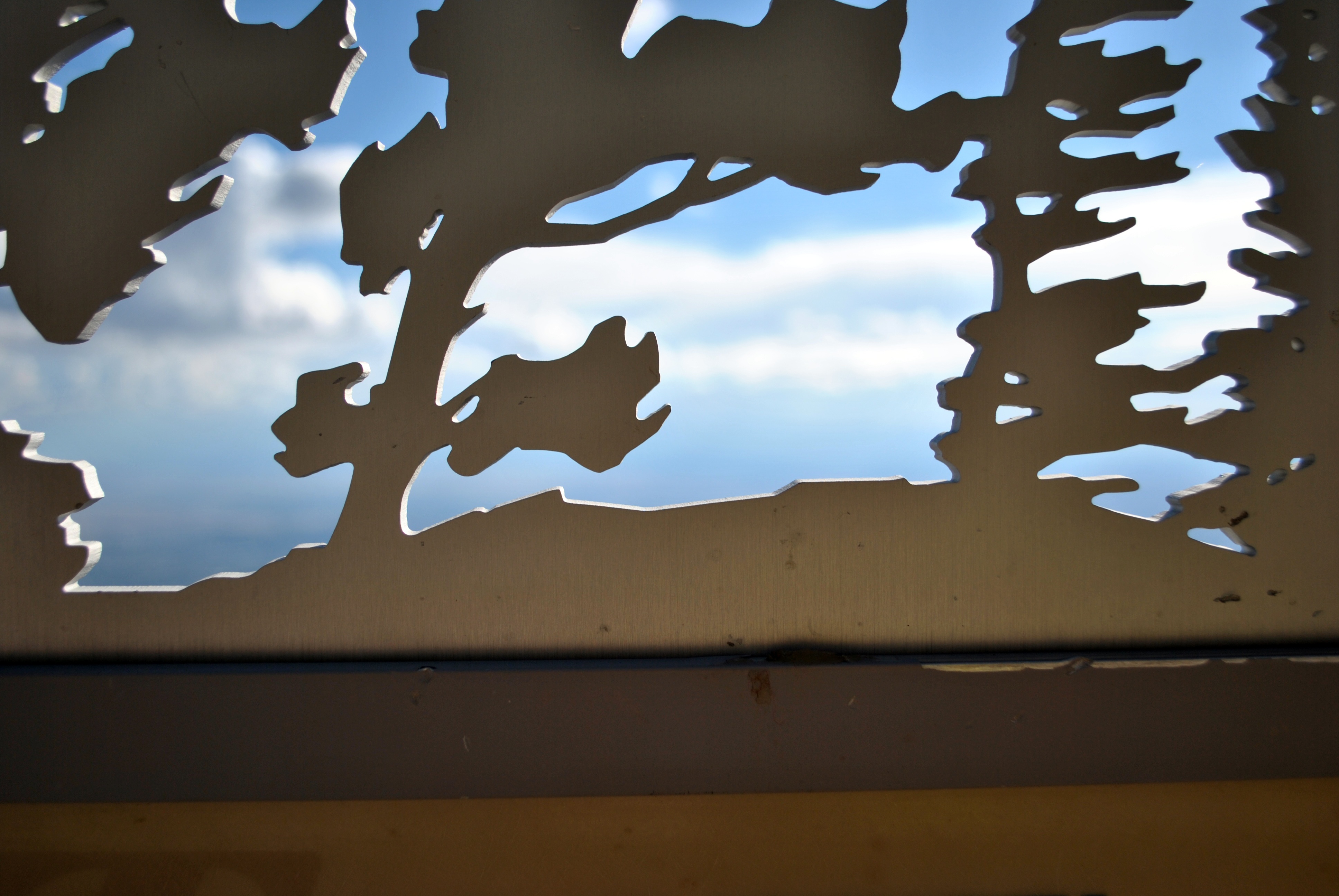
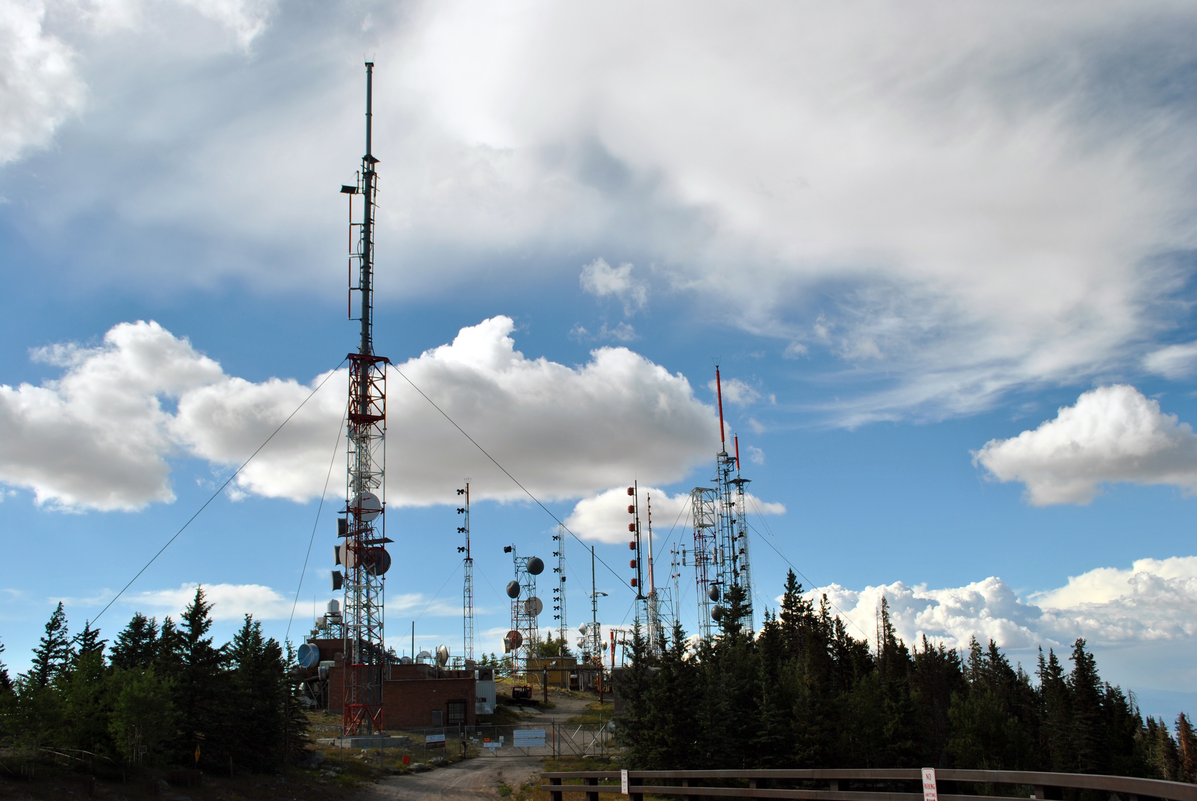
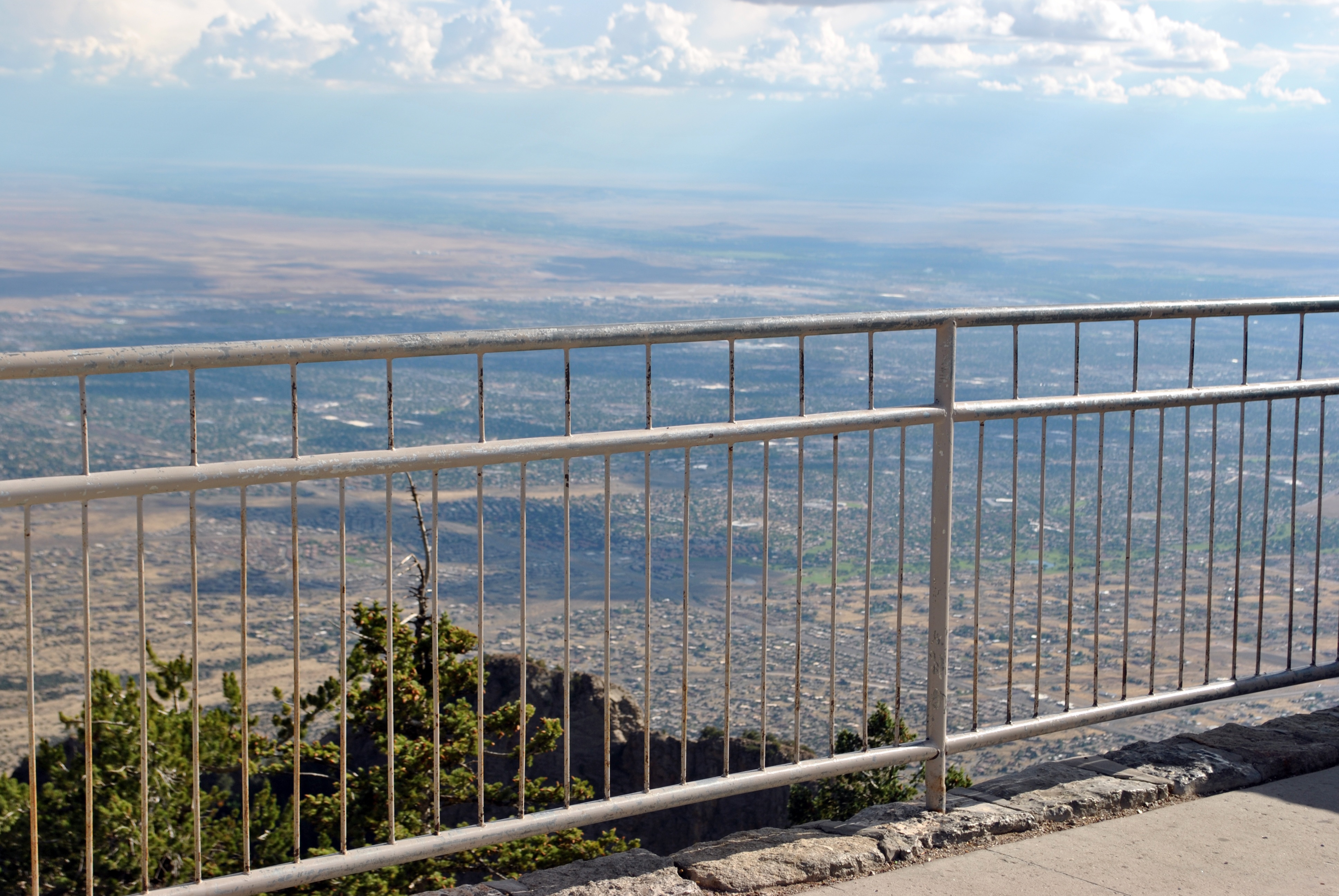
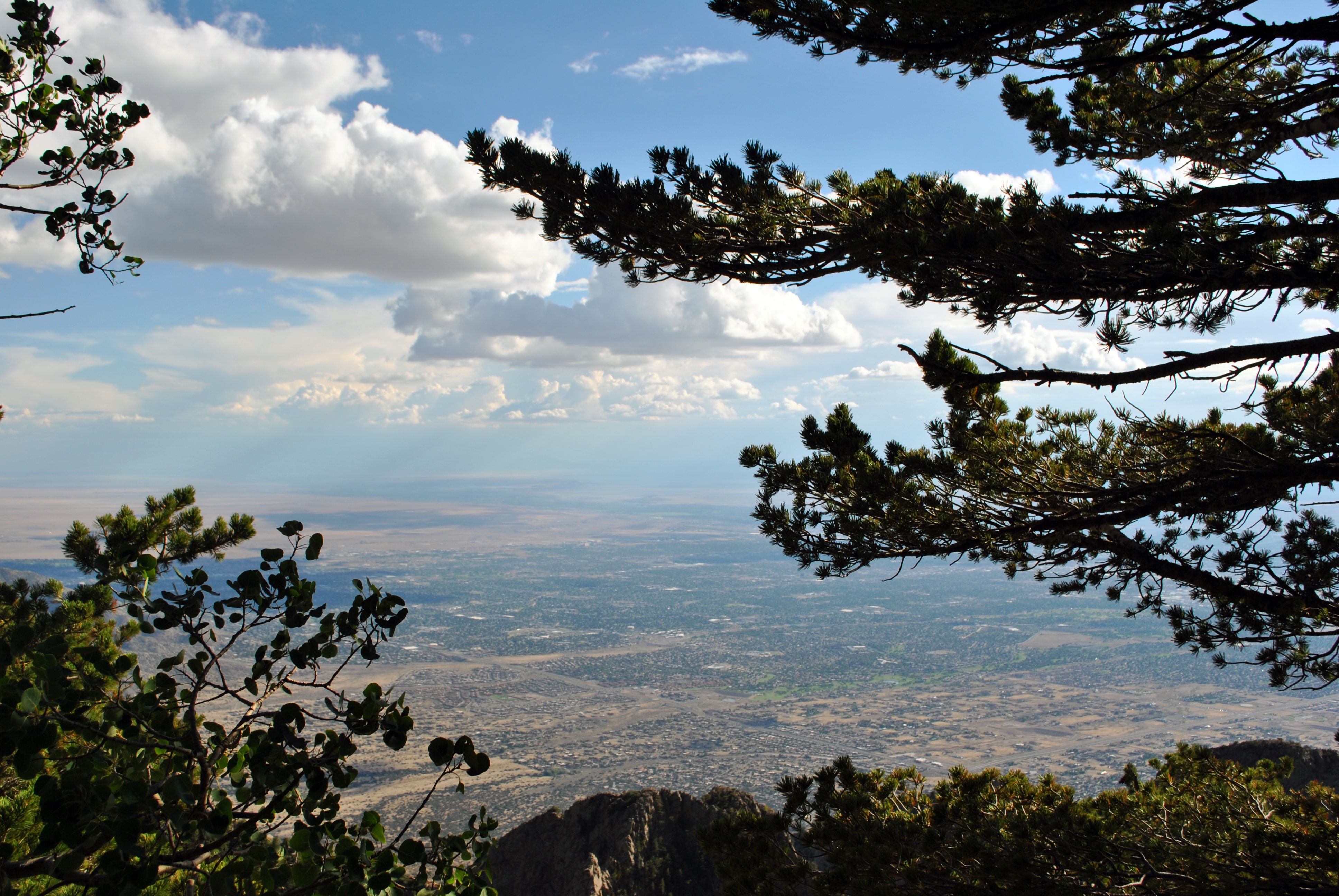
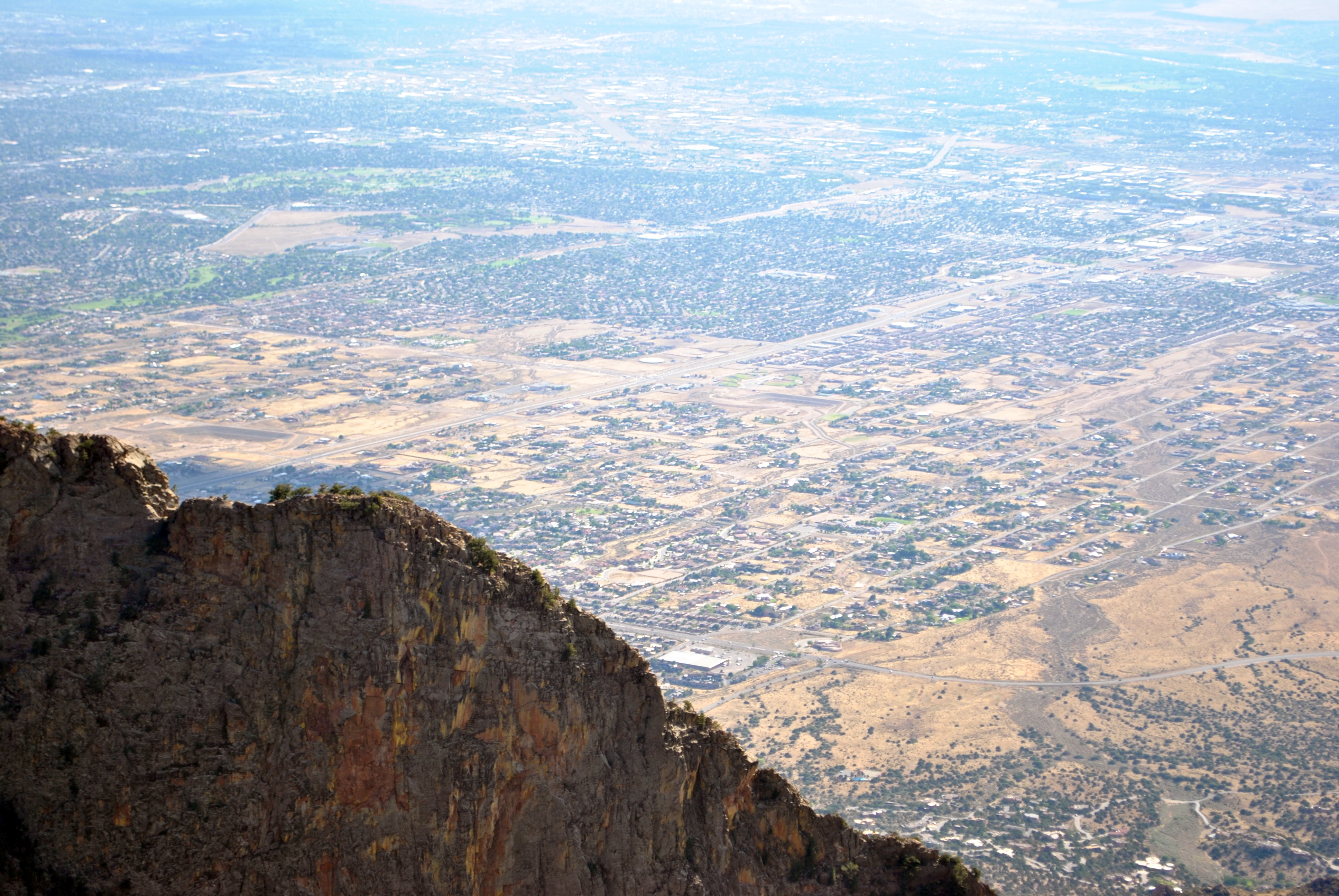
View to the East from Sandia Peak
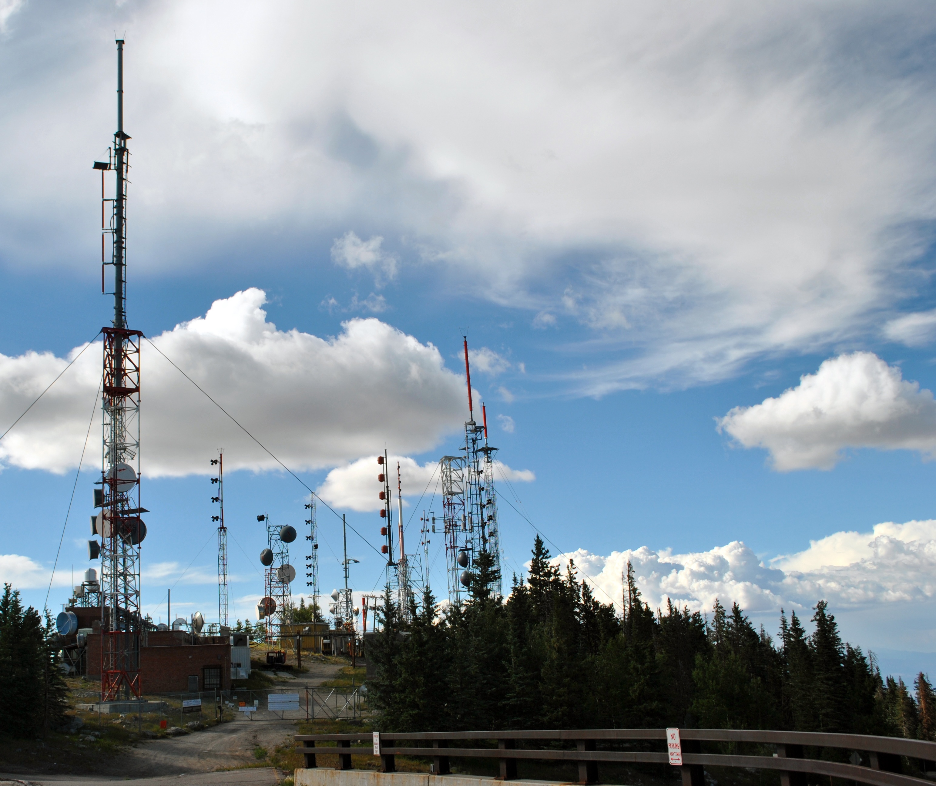
Here's the other side
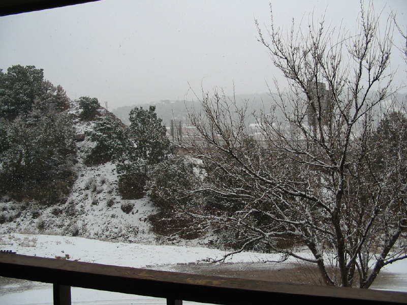
winter blast
*DSC_0804

*DSC_0809

*DSC_0751
*DSC_0712
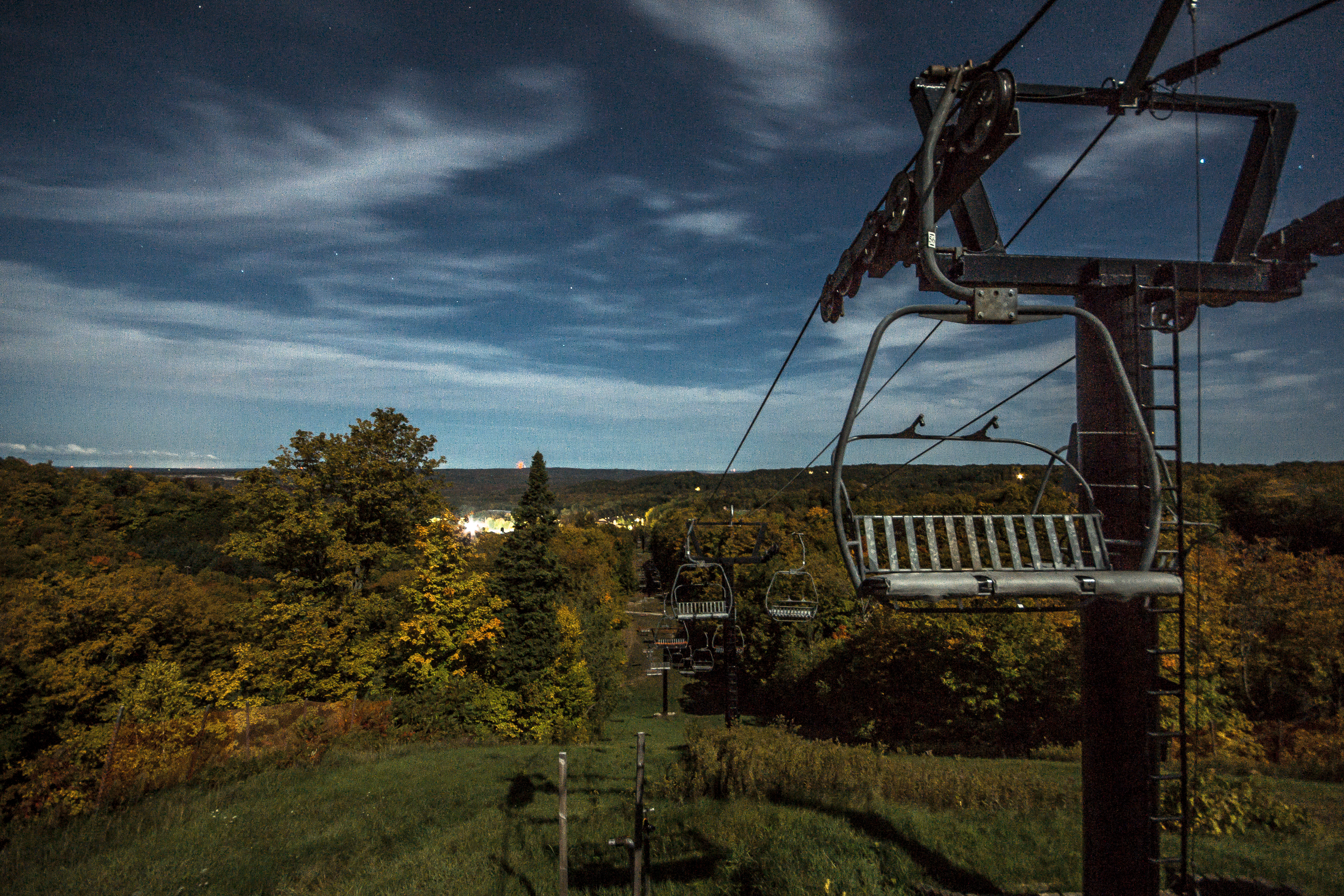
12 09 28 My View From Here: Horseshoe Valley.
*DSC_0734
*DSC_0697a
*DSC_0698
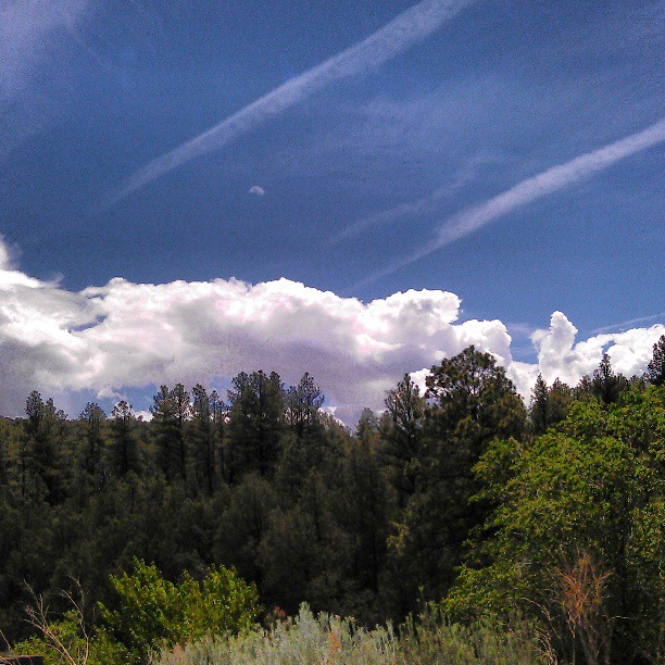
Jellyfish - July 26th, '06 Thunderstorm From East Mountains
*DSC_0773
*DSC_0798
*DSC_0748
*DSC_0799
*DSC_0735
*DSC_0803

Madrid, NM view.
*DSC_0801

Photo taken from Sandia Park looking south

#paakoridge #golf #beautiful #nm #friends
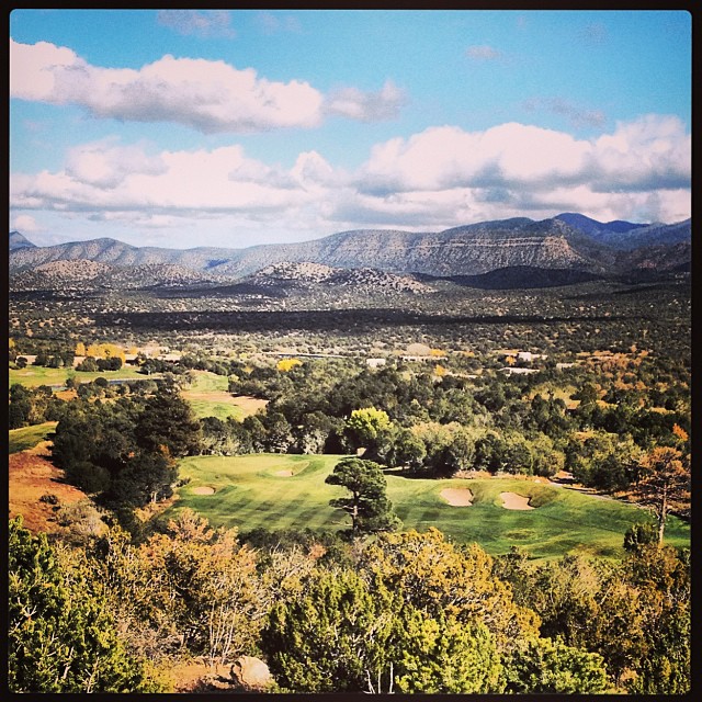
I can see fore miles and miles... #paako #golf #nm #friends #beautiful #blessed
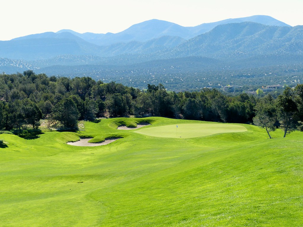
Paa-Ko Ridge #7 pitch from right rough r
East Mountain Ridge

White Out
*DSC_0766

Sunset with a friend
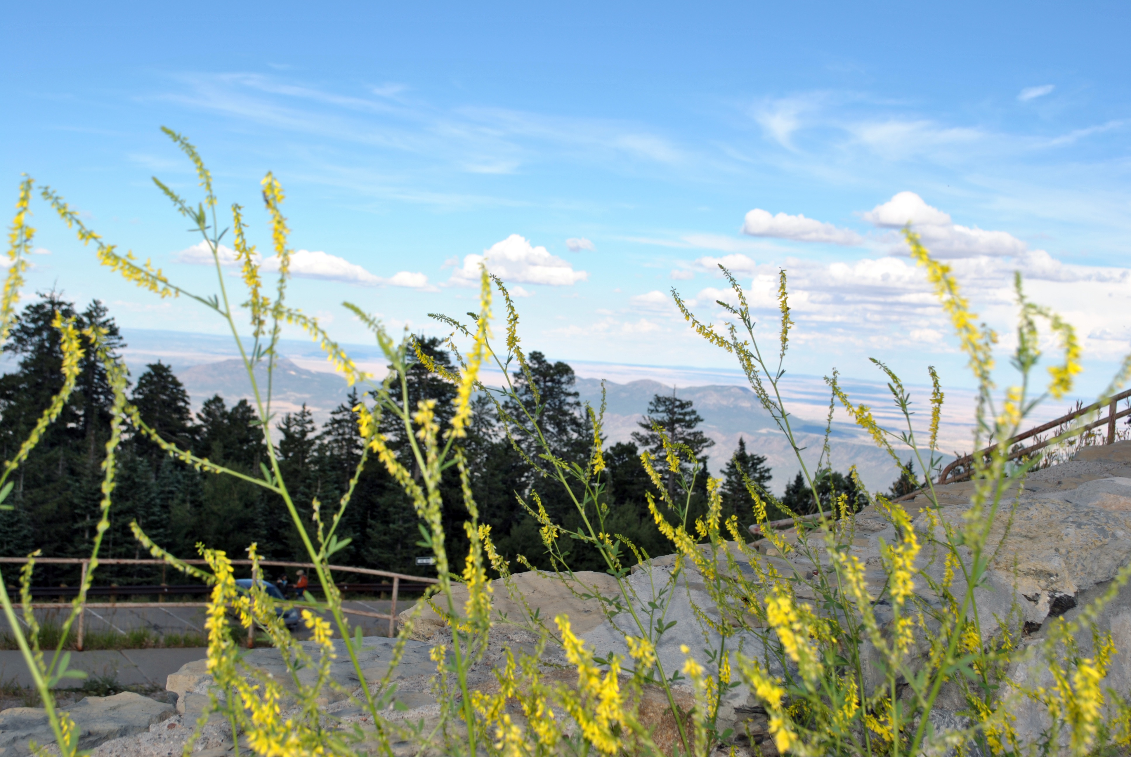
Beautiful day.
*DSC_0718
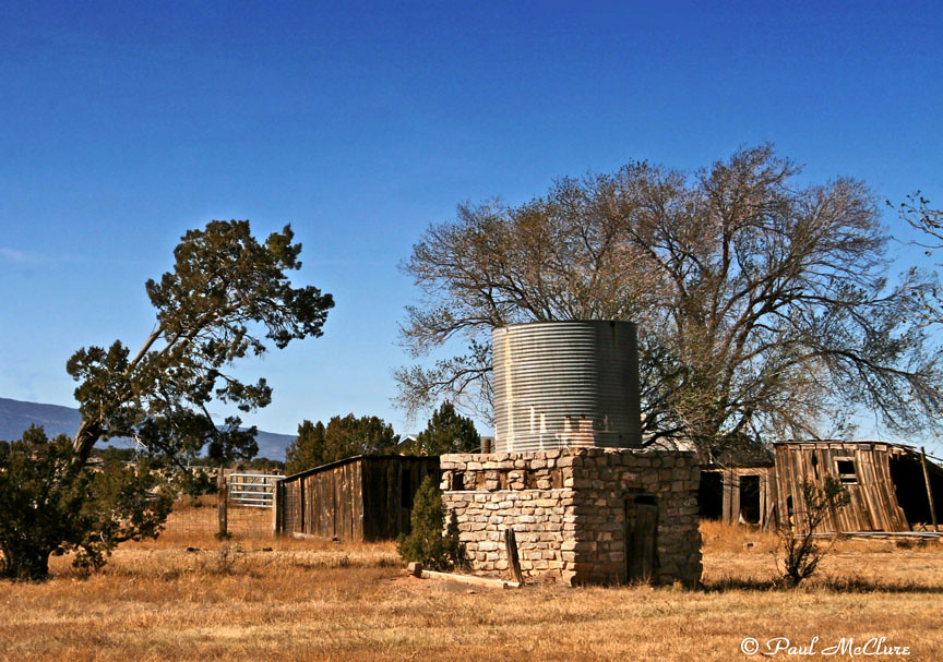
Edgewood Homestead
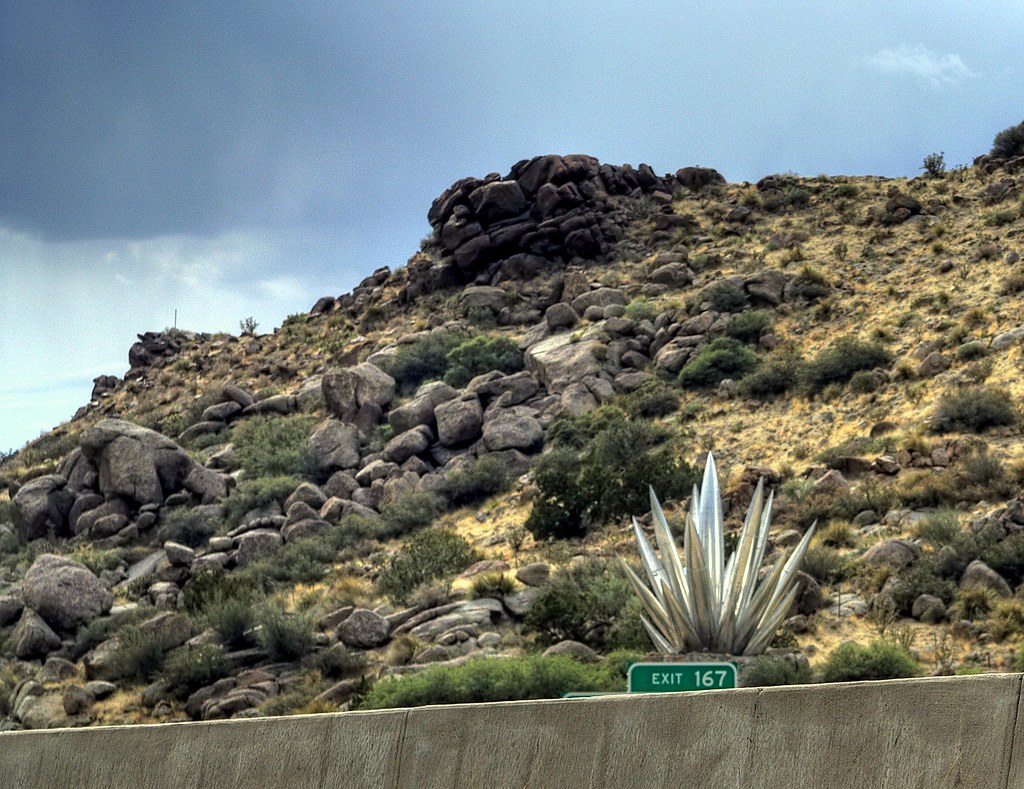
Metallic Yucca along I-40
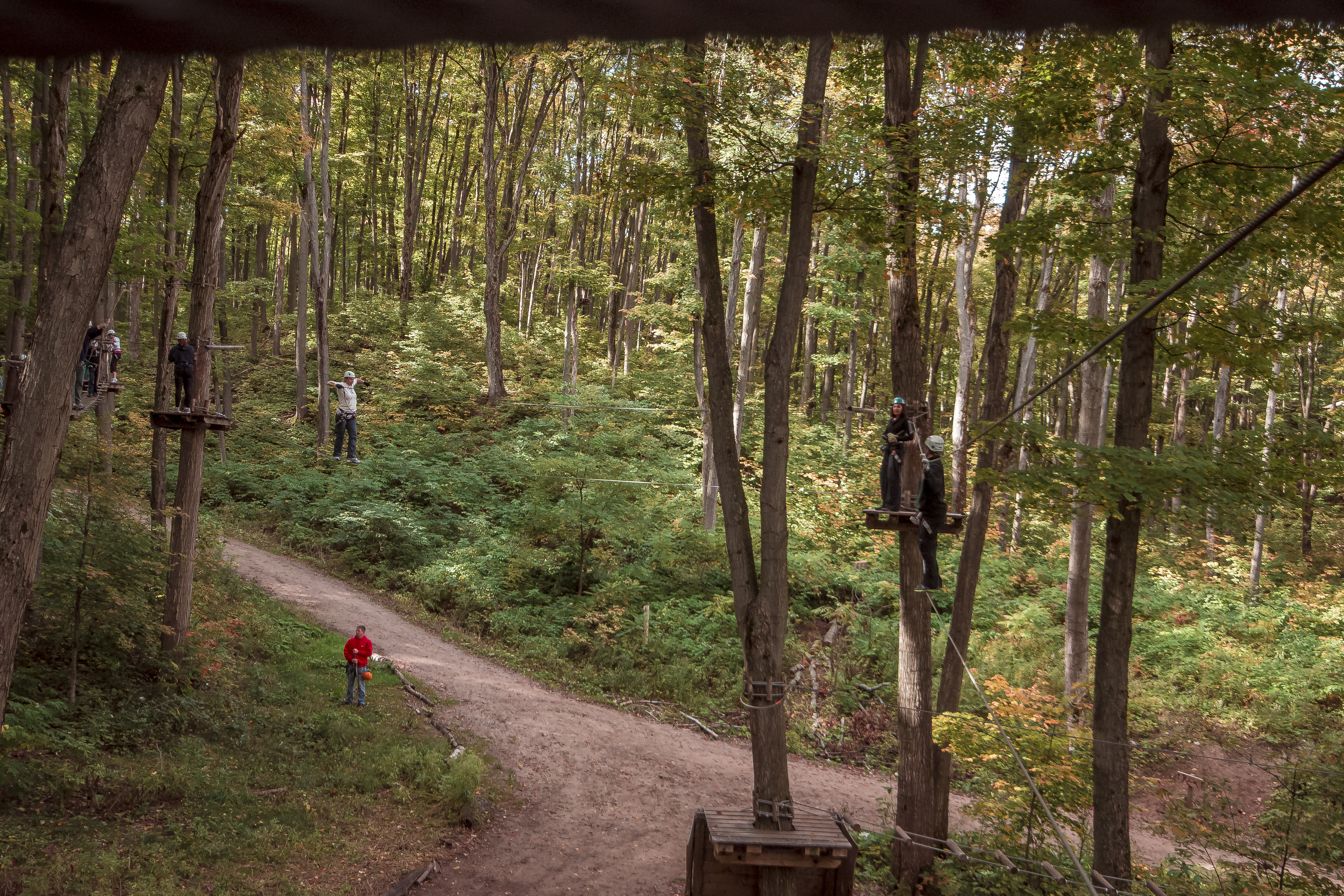
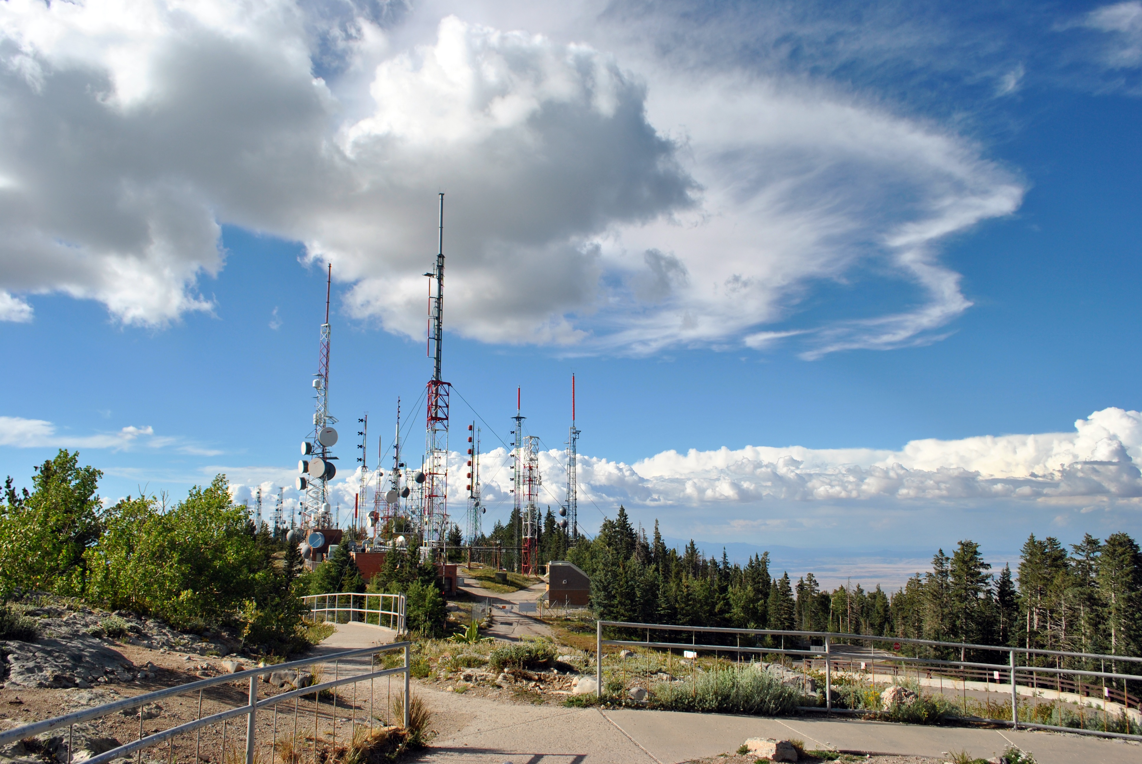
12 09 29 My View From Here: Treetoptrekking.

#sunrise in #edgewood #newmexico with the family - #roadtrip #morningwalk #earlybird
*DSC_0768

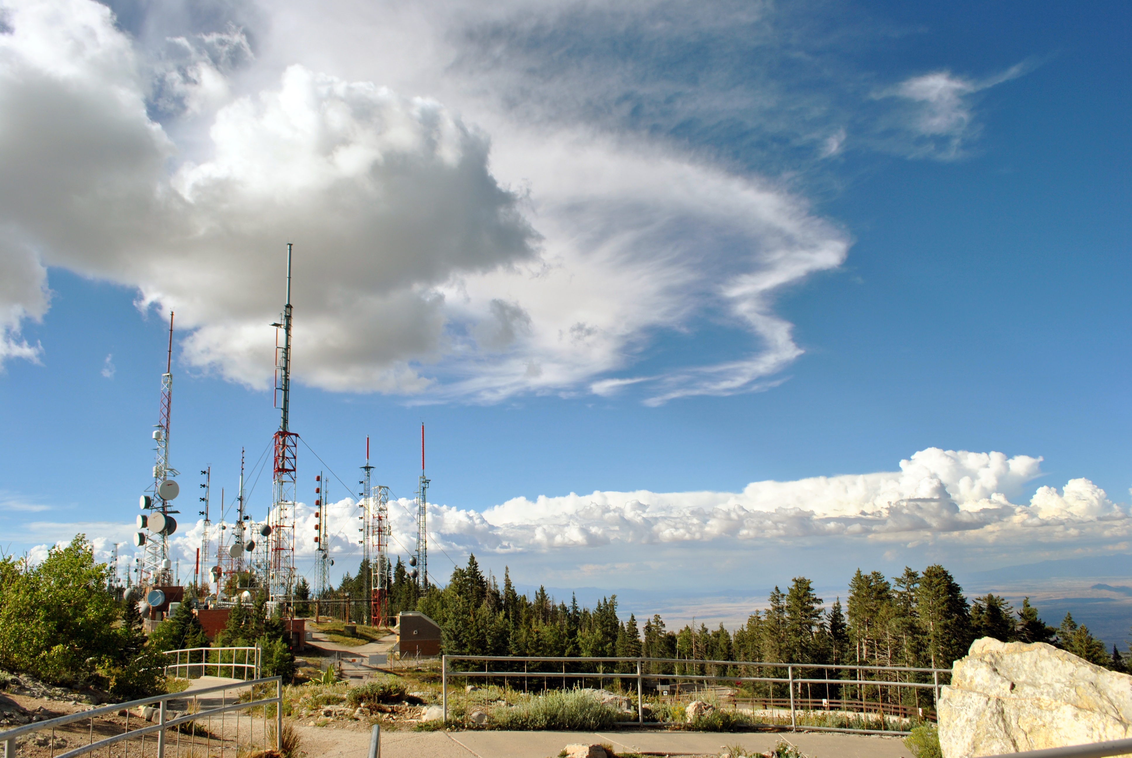
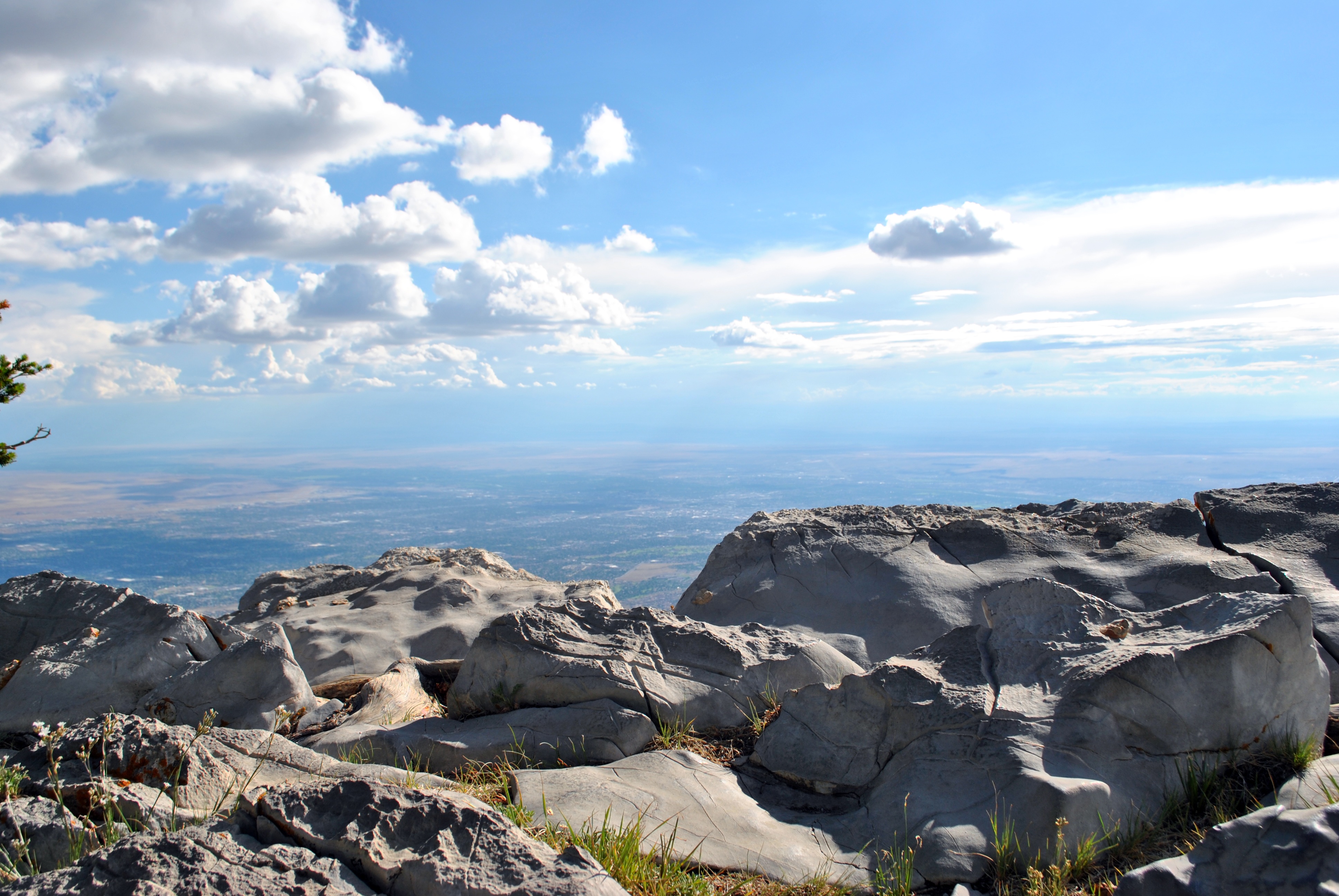
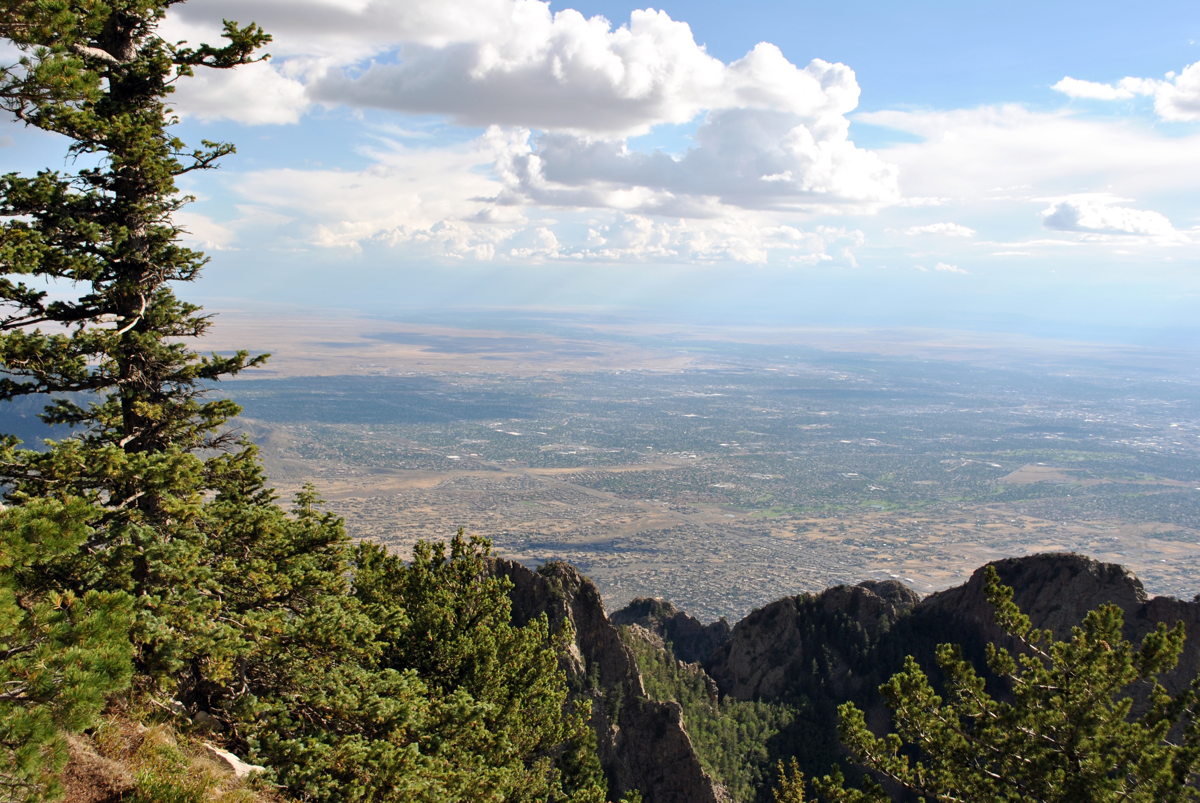
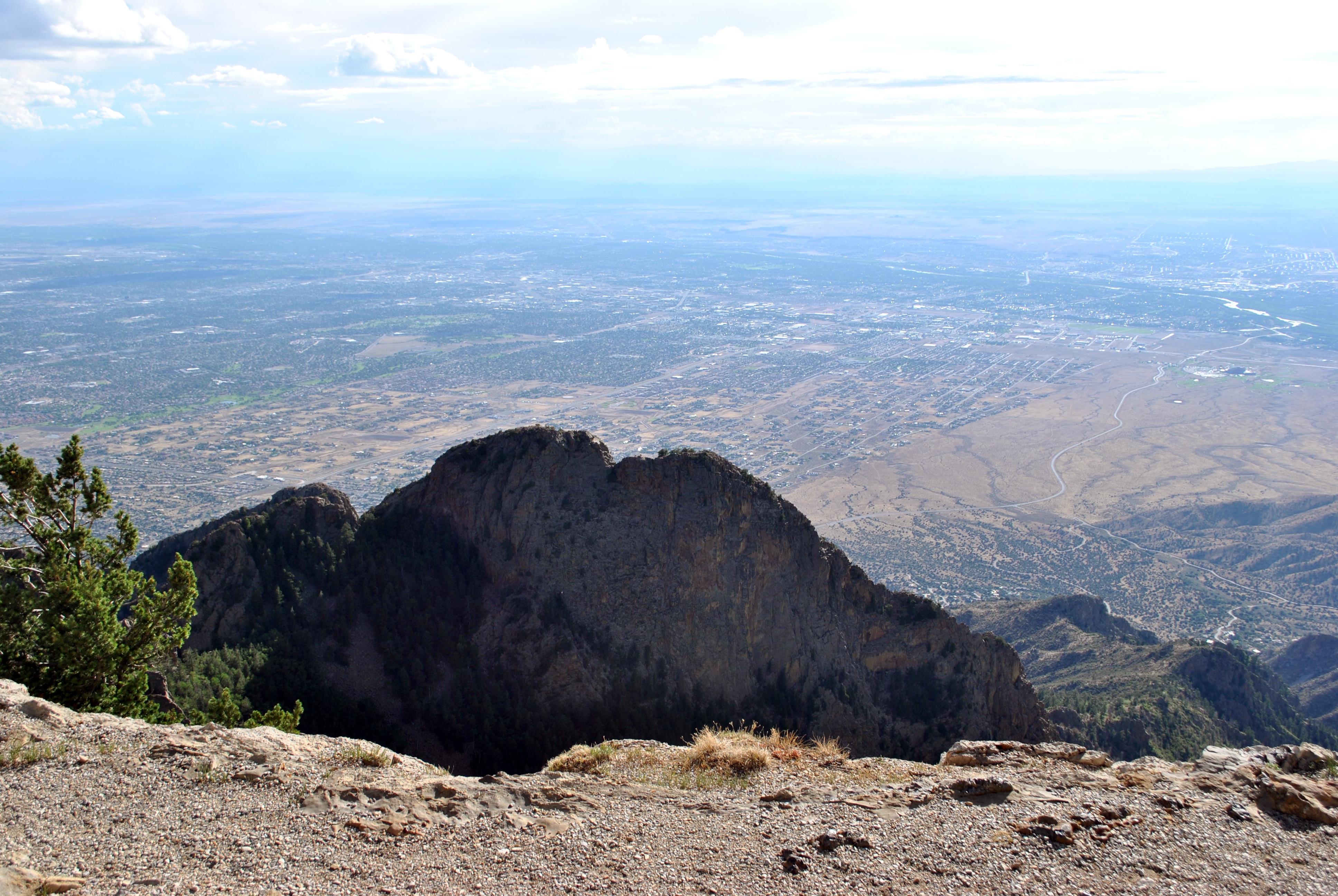
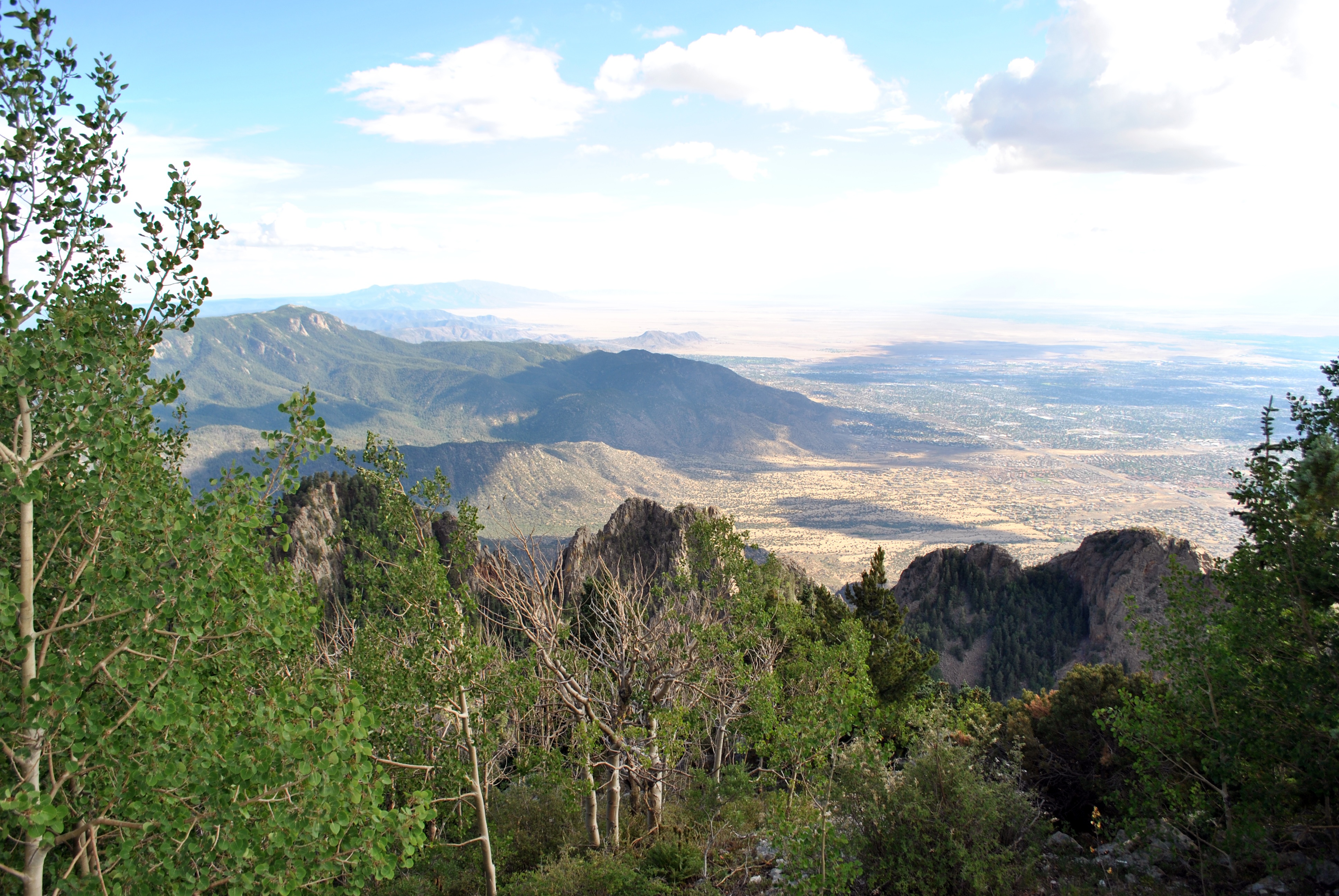
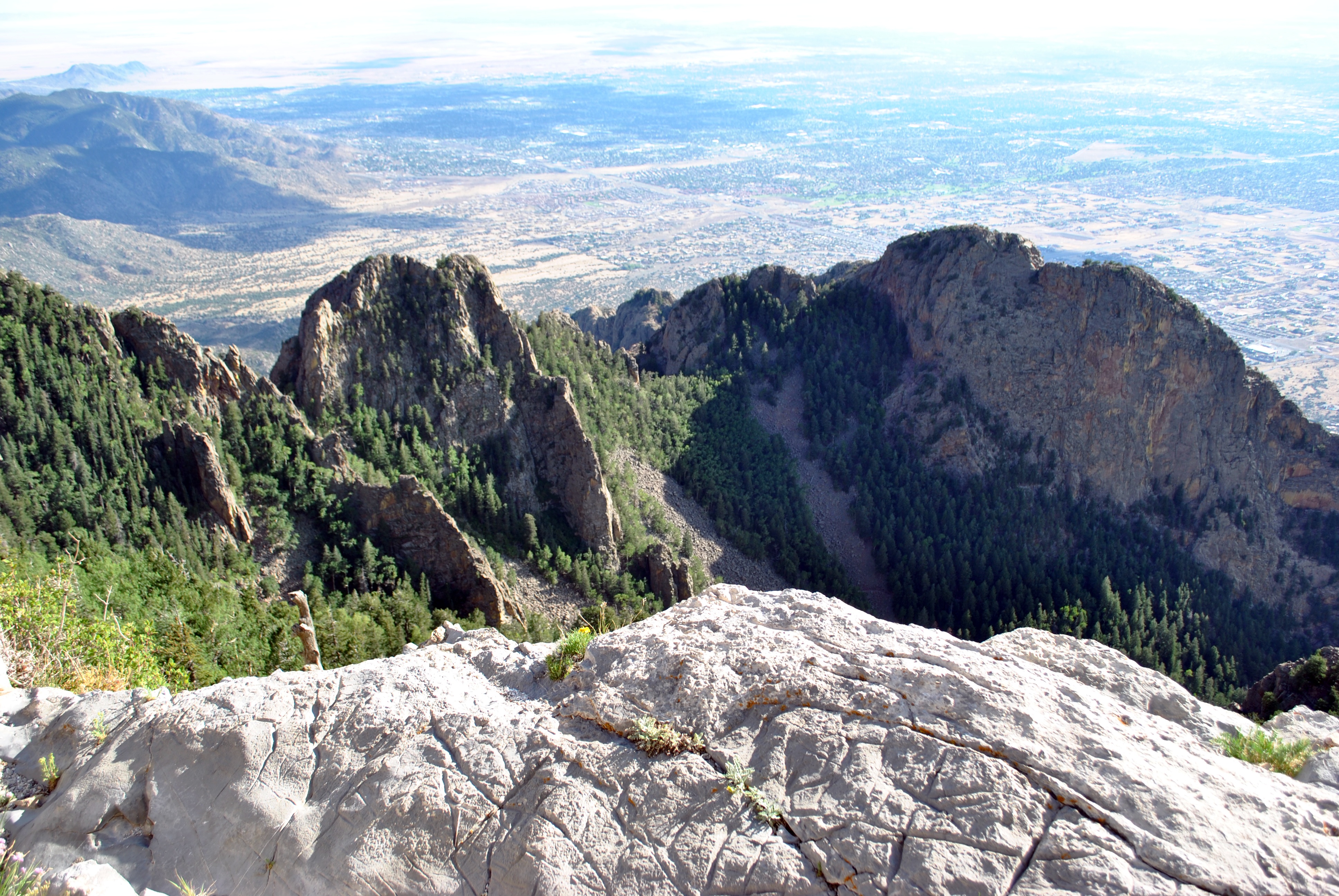
View from Sandia Peak at 10,678 feet

Sandia Sunrise

Turquoise Trail (Hwy 14) New Mexico
Topographic Map of 25 Western Trail Dr, Tijeras, NM, USA
Find elevation by address:

Places near 25 Western Trail Dr, Tijeras, NM, USA:
7 Sandia Mountain Ranch Dr
Sandia Mountain Ranch
Vista Valle
Eagle Point
67 N Vista Valle Dr
Nm Tree Removal
Sandia Derby Estates
23 Sunrise View Ct
36 Woodlands Dr
48 Woodlands Dr
60 Sunny Dale Rd
Woodlands
56 Sunny Dale Rd
Sedillo
Twin Pines
63 Longview Dr
Juan Tomas
Woodland Hills
Mountain Valley Road
36 Woodland Dr
Recent Searches:
- Elevation of Corso Fratelli Cairoli, 35, Macerata MC, Italy
- Elevation of Tallevast Rd, Sarasota, FL, USA
- Elevation of 4th St E, Sonoma, CA, USA
- Elevation of Black Hollow Rd, Pennsdale, PA, USA
- Elevation of Oakland Ave, Williamsport, PA, USA
- Elevation of Pedrógão Grande, Portugal
- Elevation of Klee Dr, Martinsburg, WV, USA
- Elevation of Via Roma, Pieranica CR, Italy
- Elevation of Tavkvetili Mountain, Georgia
- Elevation of Hartfords Bluff Cir, Mt Pleasant, SC, USA