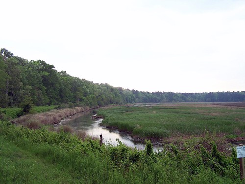
Elevation of Wisteria Rd, Green Pond, SC, USA

Location: United States > South Carolina > Colleton County >

Longitude: -80.617334

Latitude: 32.756104

Elevation: 15m / 49feet

Barometric Pressure: 101KPa

Elevation Map:

elevation map of Wisteria Rd, Green Pond, SC, USA

Satellite Map:

Satellite map of Wisteria Rd, Green Pond, SC, USA

Related Photos:

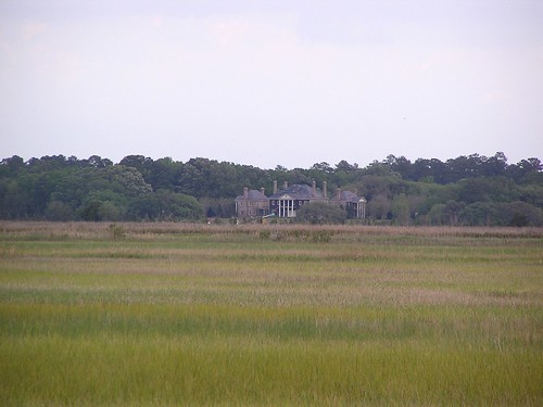
ace 2009 combaheeriver colletoncounty acebasin myrtlegrove lowcountryplantations 2009april hdescopeland ashepoocombaheeedisto
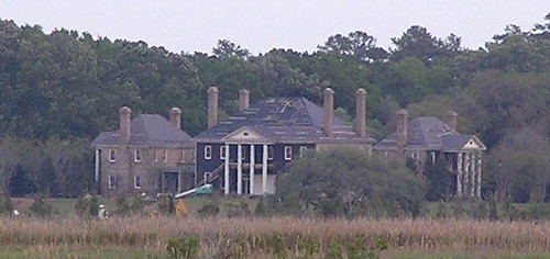
Colleton County, Combahee River basin
rice civilwar openspace 2009 kingshighway carolinagold charlestonhighway ushighway17 riceculture harriettubmanbridge heywardplantations aliceravenelhugersmith 2009april heywardfamily hdescopeland
Colleton County, Combahee River basin
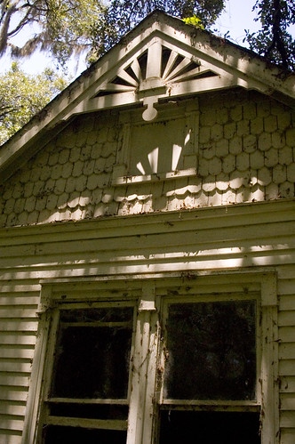
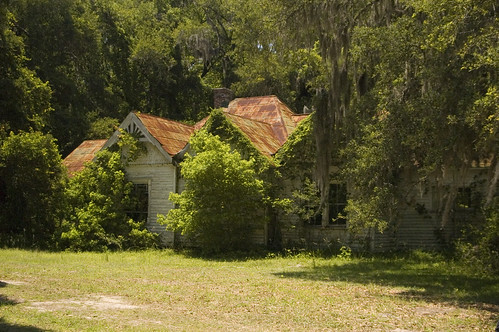
geotagged southcarolina acebasin geo:lat=32675186 geo:lon=80590288
abandoned house 2
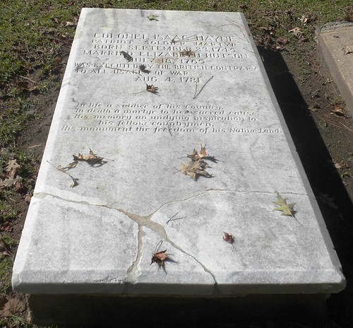
life camera england inspiration history sc grave way dead soldier army death aftermath ally memorial view britain country traitor tomb charleston memory hero carolina british alive wealthy patriot pointless combat judgement trial britian enemy hung deadly sinnlos revoution
Isaac Hayne Historic Burial Site
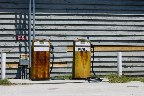
geotagged southcarolina gas pump bluebird geo:lat=32668054 geo:lon=8057343
Bluebird and Diesel
geotagged southcarolina acebasin geo:lat=32675186 geo:lon=80590288
abandoned house 1
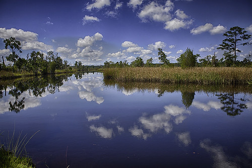
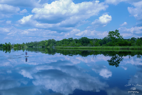
sc water clouds reflections scenic southcarolina marsh lowcountry acebasin
Boat Landing, ACE Basin
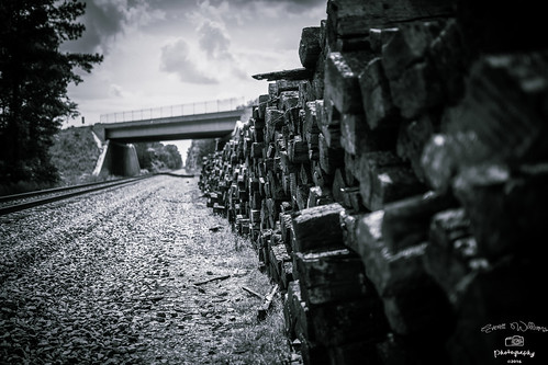
landscape landscapes blackwhite southcarolina charleston lowcountry africanamericanphotographer
Railroad Tracks
God's Cathedral
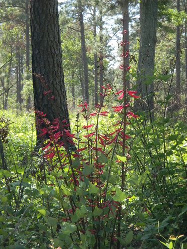
Red Flower
sc unitedstates southcarolina bikeriding lcu colletoncounty acebasin lowcountryunfiltered donnelleywma
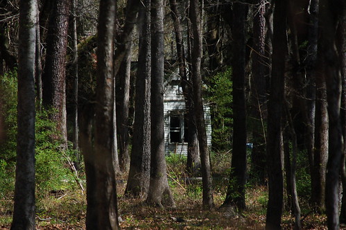
Boynton House through the Woods
clouds landscape landscapes southcarolina charleston charlestonsouthcarolina africanamericanphotographer
Green Pond SC
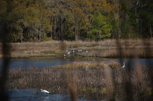
sc unitedstates southcarolina bikeriding lcu colletoncounty acebasin lowcountryunfiltered donnelleywma
ACE Basin Birds
alligator southcarolina yemassee acebasin
ACE Basin - Combahee Unit
southcarolina yemassee acebasin
ACE Basin - Combahee Unit
sc unitedstates southcarolina bikeriding lcu colletoncounty acebasin lowcountryunfiltered donnelleywma
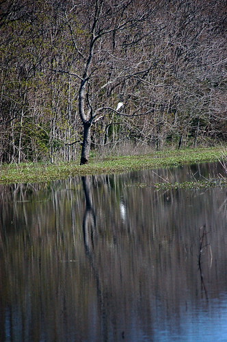
Bird Reflection
sc nature animal reptile wildlife south alligator american carolina wma lowcountry dnr donnelley
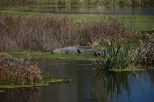
American Alligator
sc unitedstates southcarolina bikeriding lcu colletoncounty acebasin lowcountryunfiltered donnelleywma
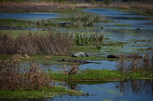
ACE Basin Alligator
friends summer butterfly southcarolina saturday hibiscus swamp swallowtail combaheeriver photopaddling lowcountryunfiltered cuckoldscreek
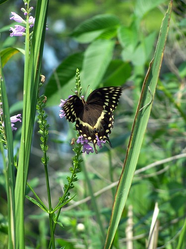
Feeding the Tigers
southcarolina colletoncounty acebasin donnellywma
Donnelly Pond Panorama
sc unitedstates southcarolina bikeriding lcu colletoncounty acebasin lowcountryunfiltered donnelleywma
ACE Basin Alligator
Egret over marsh
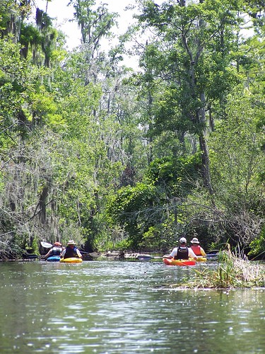
friends june fun outdoors kayak alligator southcarolina saturday adventure kayaking swamp marsh combaheeriver photopaddling lowcountryunfiltered cuckoldscreek
Down the Creek
ace gone openspace 2009 combaheeriver colletoncounty acebasin myrtlegrove riceplantations 2009april hdescopeland ashepoocombaheeedisto
Colleton County, SC, Combahee River basin
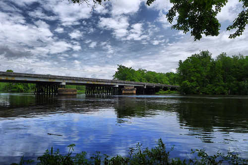
sc unitedstates southcarolina kayaking paddling edisto dorchestercounty edistoriver colletoncounty lowcountryunfiltered
US 17 Bridge 2
sc unitedstates southcarolina bikeriding lcu colletoncounty acebasin lowcountryunfiltered donnelleywma
Rice Plantation
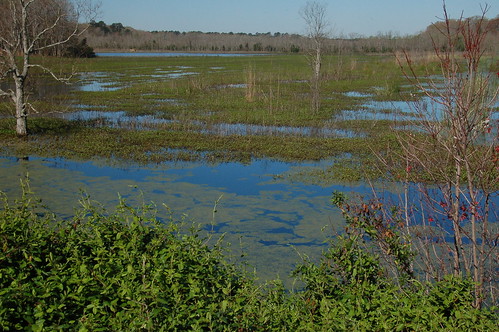
nature animals farmhouse fun spring tracks southcarolina saturday adventure land april marsh ricefields alligators wildlifemanagementarea greenkayak73 donnellywma lowcountryamble
LowCountry Ramble: Old Rice Fields