Elevation of Backfield Road, Back Field Rd, Walterboro, SC, USA
Location: United States > South Carolina >
Longitude: -80.555990
Latitude: 32.7637416
Elevation: 17m / 56feet
Barometric Pressure: 101KPa
Elevation Map:
Satellite Map:
Related Photos:
Colleton County, Combahee River basin

abandoned house 2

Bluebird and Diesel

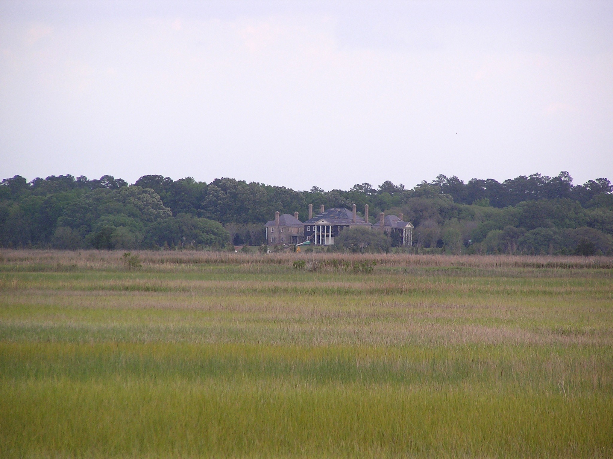
abandoned house 1

Boat Landing, ACE Basin
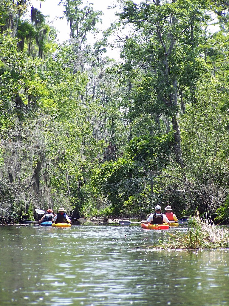
Down the Creek

Colleton County, SC, Combahee River basin

Colleton County, Combahee River basin

Green Pond SC

Edisto River 10

Laurel Springs Plantation #lowcountry #southcarolina #plantation #slavecabin

Red Flower

Green Pond SC

Dichanthelium on Taxodium

Abandoned Railroad

Edisto River 3

LowCountry Ramble: Abandoned

Donnelly Pond Panorama

Edisto River 2

Edisto River

US 17 Bridge 2

Finding Another Side Passage

Colleton County, Ashepoo River

Colleton County, Ashepoo River
Topographic Map of Backfield Road, Back Field Rd, Walterboro, SC, USA
Find elevation by address:

Places near Backfield Road, Back Field Rd, Walterboro, SC, USA:
777 Back Field Rd
88 Weiss Ln
Chessey Creek Road
Wisteria Rd, Green Pond, SC, USA
12039 Green Pond Hwy
Green Pond
State Road S-15-772
State Road S-15-772
State Road S-15-772
Ritter Road
Bennetts Point Rd, Green Pond, SC, USA
1244 Oregon Rd
Jacksonboro
3985 Charleston Hwy
Wiggins Road
2898 Wiggins Rd
4 Bennetts Point Rd, Green Pond, SC, USA
Jacksonboro Rd, Round O, SC, USA
63 Inway Ln
79 Cornwall Ln
Recent Searches:
- Elevation of Corso Fratelli Cairoli, 35, Macerata MC, Italy
- Elevation of Tallevast Rd, Sarasota, FL, USA
- Elevation of 4th St E, Sonoma, CA, USA
- Elevation of Black Hollow Rd, Pennsdale, PA, USA
- Elevation of Oakland Ave, Williamsport, PA, USA
- Elevation of Pedrógão Grande, Portugal
- Elevation of Klee Dr, Martinsburg, WV, USA
- Elevation of Via Roma, Pieranica CR, Italy
- Elevation of Tavkvetili Mountain, Georgia
- Elevation of Hartfords Bluff Cir, Mt Pleasant, SC, USA