Elevation of Ritter Road, Ritter Rd, Walterboro, SC, USA
Location: United States > South Carolina > Colleton County > Walterboro >
Longitude: -80.626143
Latitude: 32.7949584
Elevation: 11m / 36feet
Barometric Pressure: 101KPa
Elevation Map:
Satellite Map:
Related Photos:

Novit's Siegel
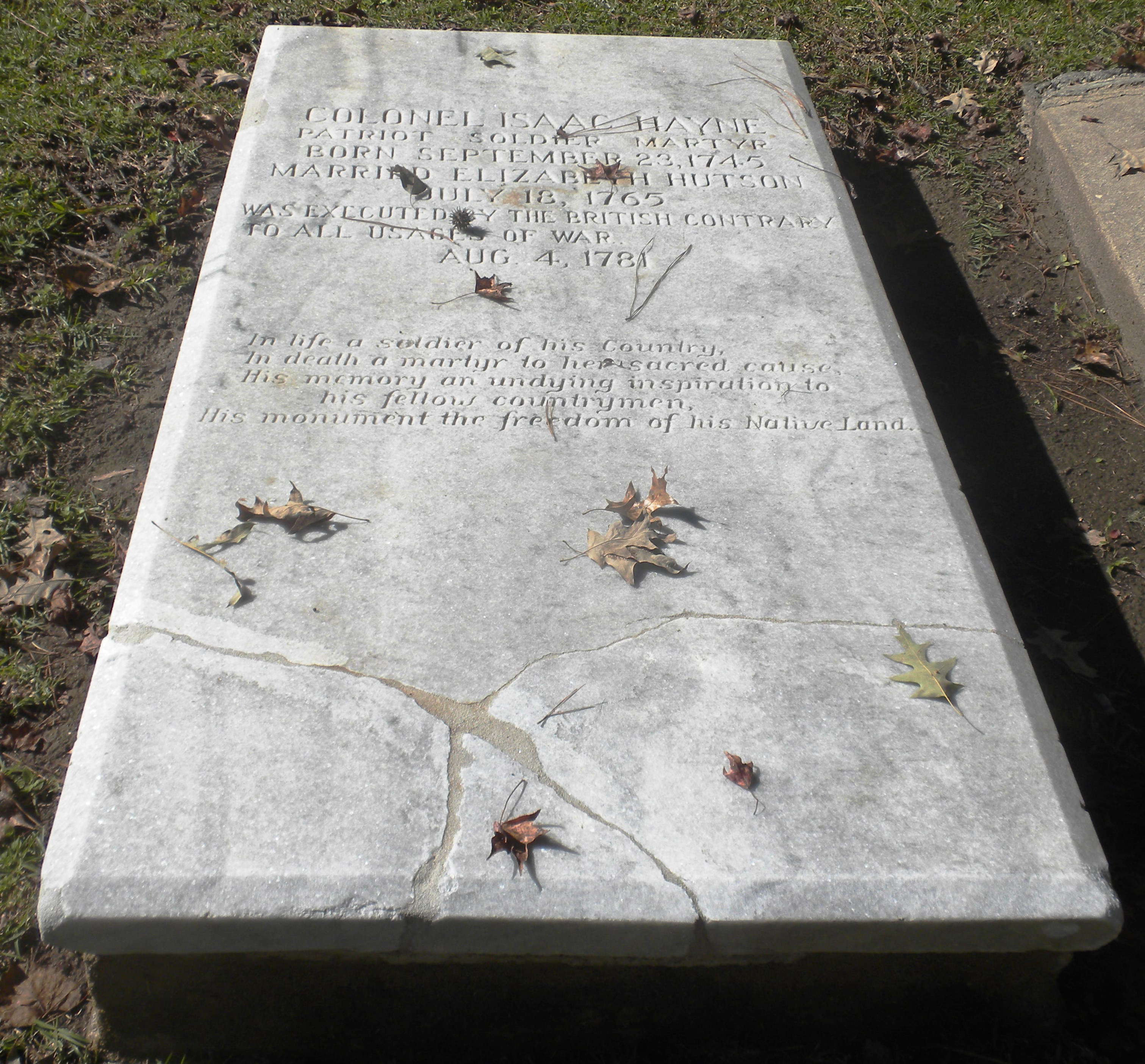
Isaac Hayne Historic Burial Site
Colleton County, Combahee River basin

abandoned house 2

Bluebird and Diesel

abandoned house 1

Railroad Tracks
LowCountry Ramble: Old Rice Fields

yellow flowers
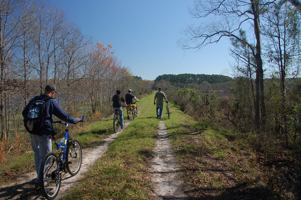
Riding the Dike

God's Cathedral

Boat Landing, ACE Basin

Laurel Springs Plantation #lowcountry #southcarolina #plantation #slavecabin
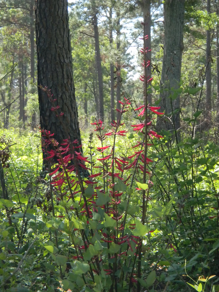
Red Flower

and the cicadas sing

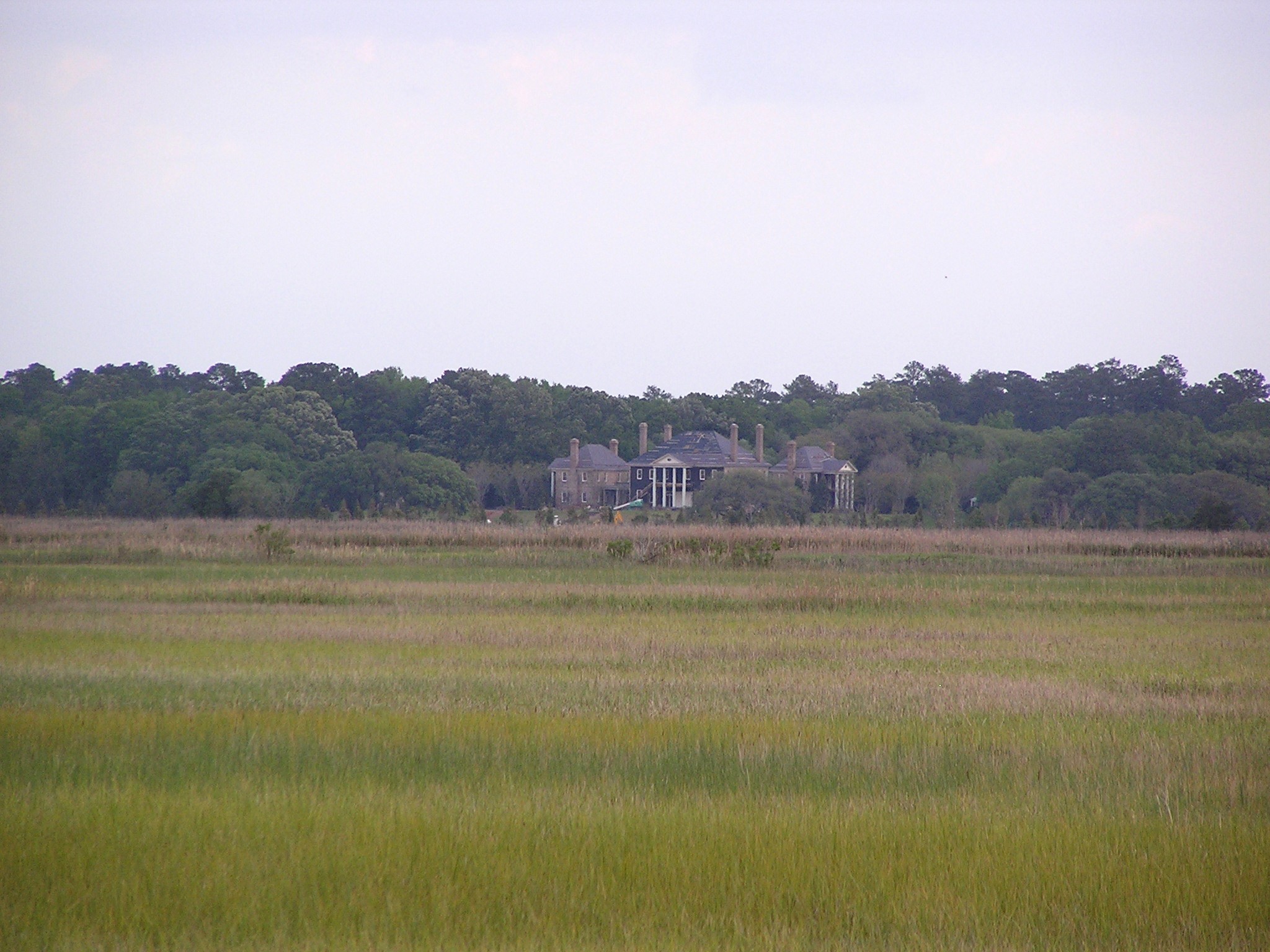
Boynton House through the Woods

Green Pond SC

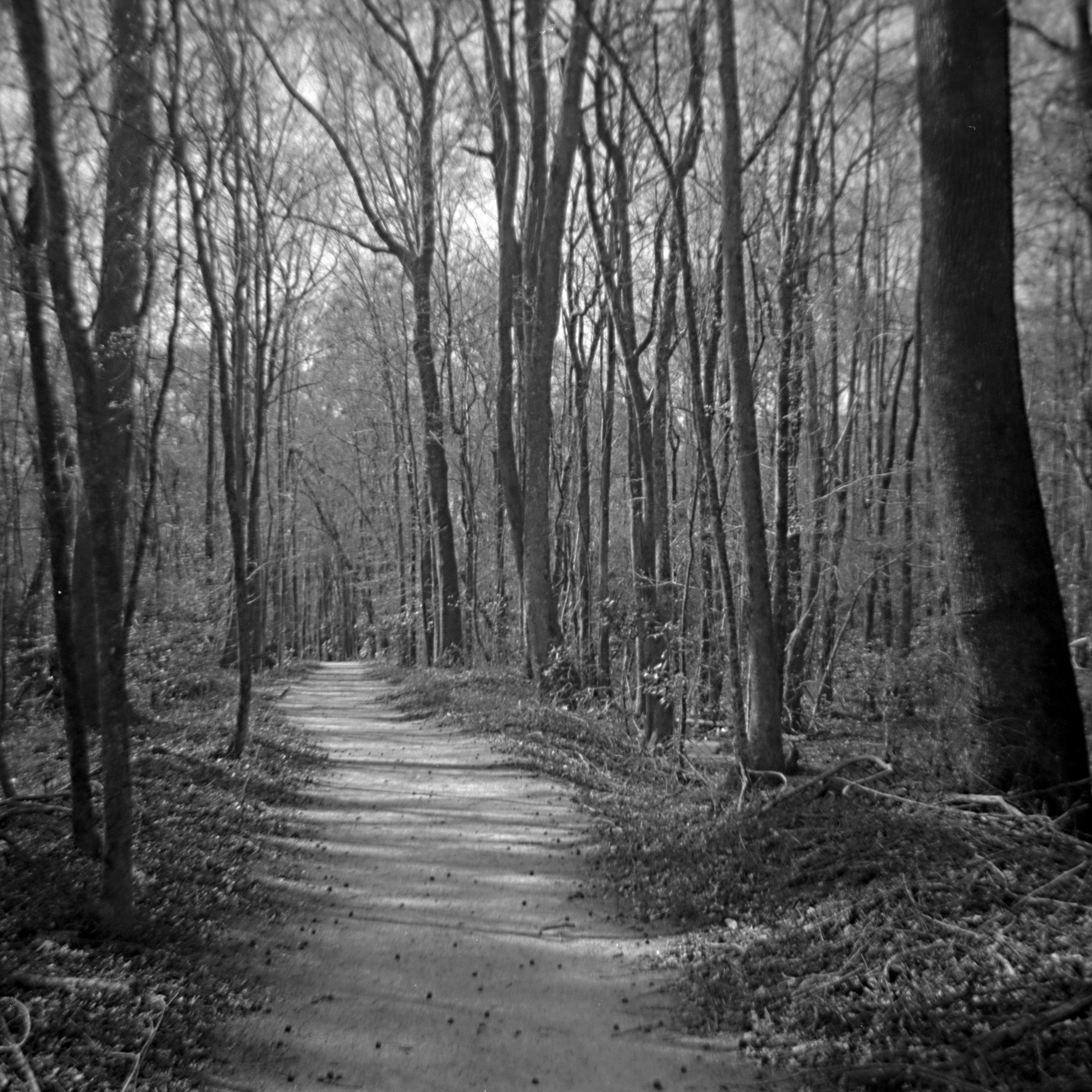
Abandoned Railroad

Ghost Train

Bird Reflection

American Alligator
201303 Iford PanF 50 120format Scan-130327-0008

Feeding the Tigers

Egret over marsh

201312 Arista EDU 100 - Fed 3 - Industar 61 Scan-131212-0009
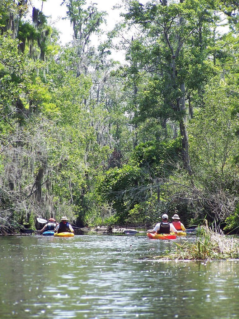
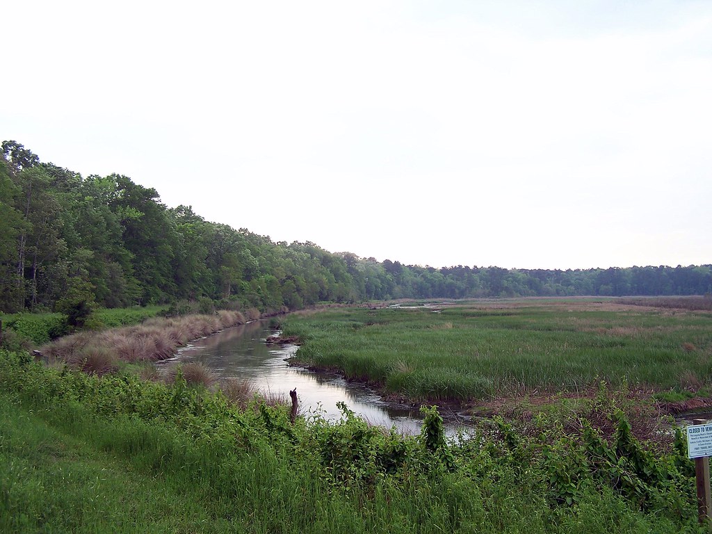
Down the Creek

"Name of creek"
Topographic Map of Ritter Road, Ritter Rd, Walterboro, SC, USA
Find elevation by address:

Places near Ritter Road, Ritter Rd, Walterboro, SC, USA:
State Road S-15-772
State Road S-15-772
State Road S-15-772
Wisteria Rd, Green Pond, SC, USA
1244 Oregon Rd
12039 Green Pond Hwy
Green Pond
Chessey Creek Road
79 Cornwall Ln
Backfield Road
3985 Charleston Hwy
777 Back Field Rd
88 Weiss Ln
Hendersonville
Colleton County
319 Warren St
214 Fishburne St
Walterboro
213 Colleton Loop
537 Aviation Way
Recent Searches:
- Elevation of Corso Fratelli Cairoli, 35, Macerata MC, Italy
- Elevation of Tallevast Rd, Sarasota, FL, USA
- Elevation of 4th St E, Sonoma, CA, USA
- Elevation of Black Hollow Rd, Pennsdale, PA, USA
- Elevation of Oakland Ave, Williamsport, PA, USA
- Elevation of Pedrógão Grande, Portugal
- Elevation of Klee Dr, Martinsburg, WV, USA
- Elevation of Via Roma, Pieranica CR, Italy
- Elevation of Tavkvetili Mountain, Georgia
- Elevation of Hartfords Bluff Cir, Mt Pleasant, SC, USA