Elevation of Warren St, Walterboro, SC, USA
Location: United States > South Carolina > Colleton County > Walterboro >
Longitude: -80.650308
Latitude: 32.903864
Elevation: 27m / 89feet
Barometric Pressure: 101KPa
Elevation Map:
Satellite Map:
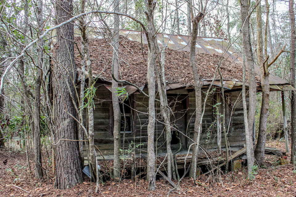
Related Photos:
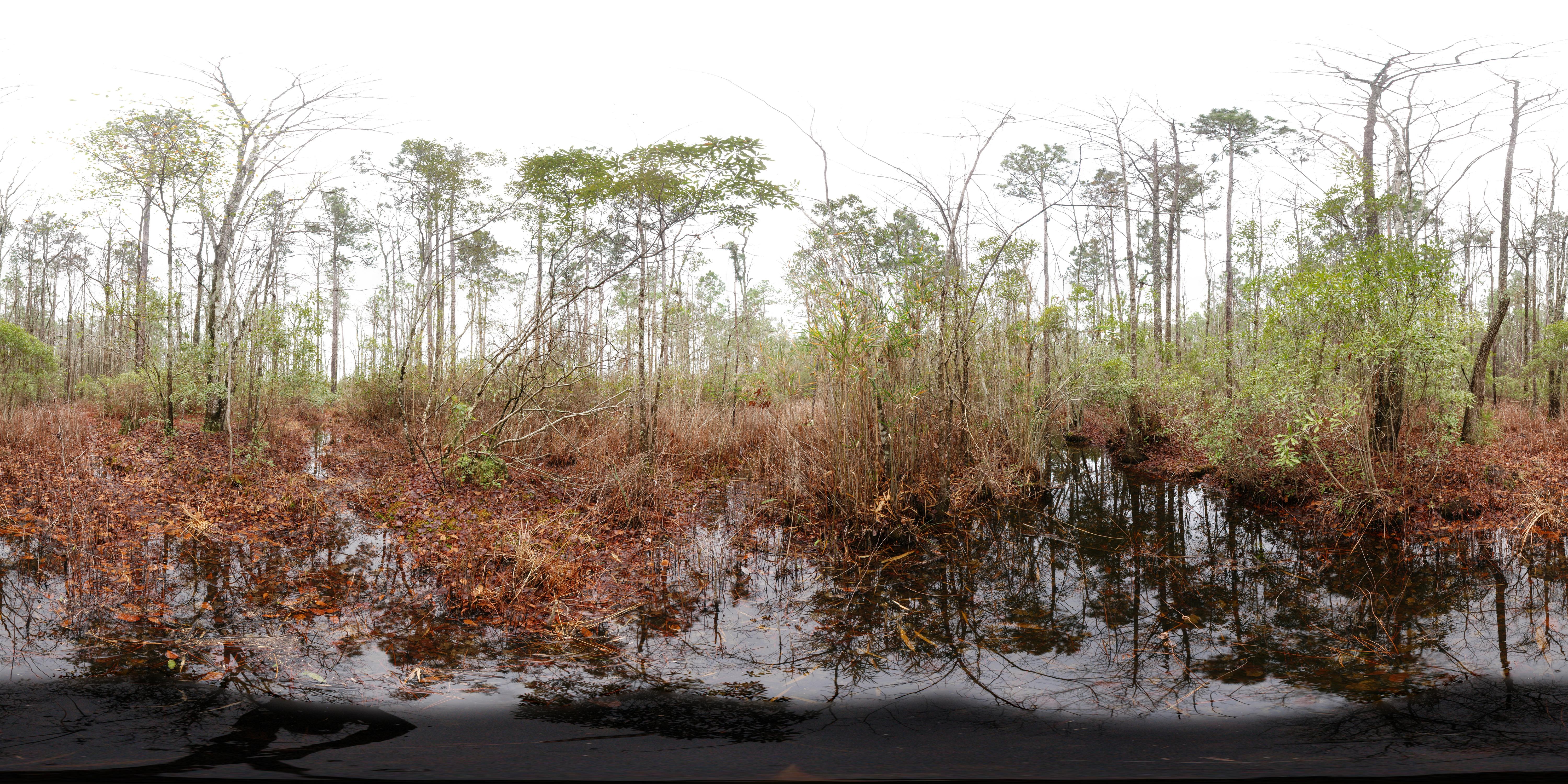
Crosby Oxypolis Heritage Preserve (360° x 180° Panorama)
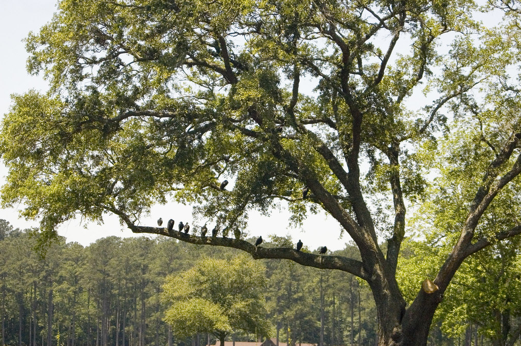
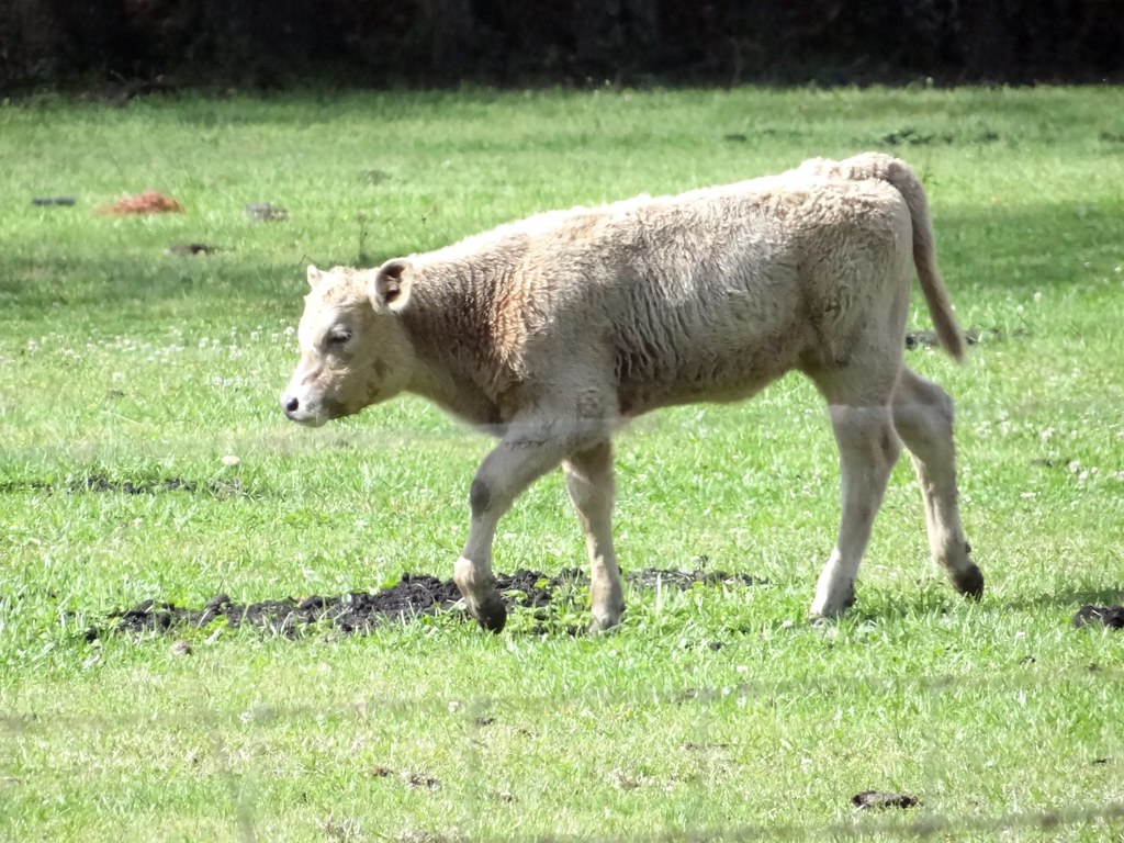
Vultures in a Tree
IMG_1614.jpg

and the cicadas sing
201303 Iford PanF 50 120format Scan-130327-0008
IMG_1622.jpg
201312 Arista EDU 100 - Fed 3 - Industar 61 Scan-131212-0009

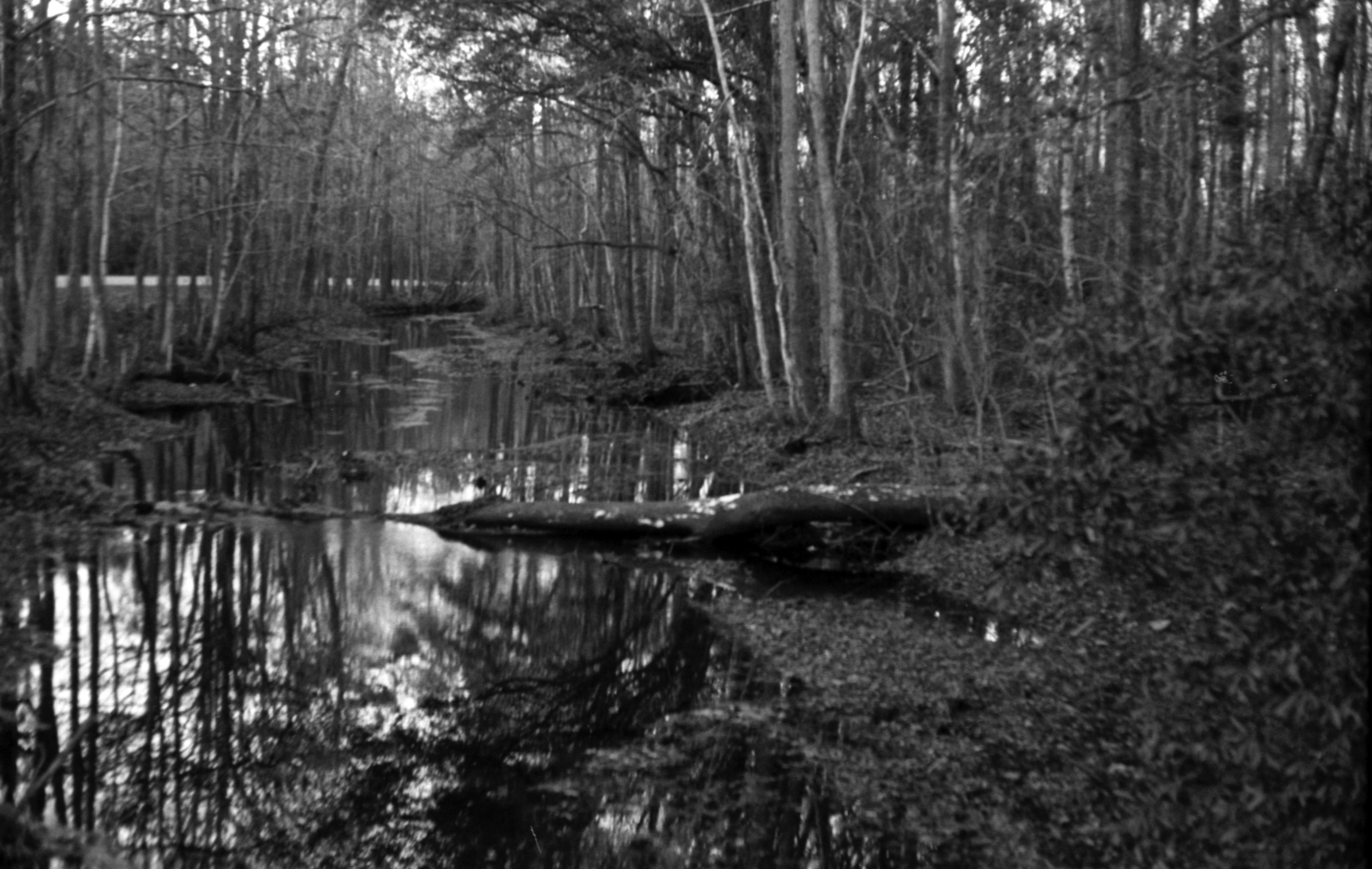
"Name of creek"

201312 Arista EDU 100 - Fed 3 - Industar 61 Scan-131212-0010

201303 Iford PanF 50 120format Scan-130327-0004
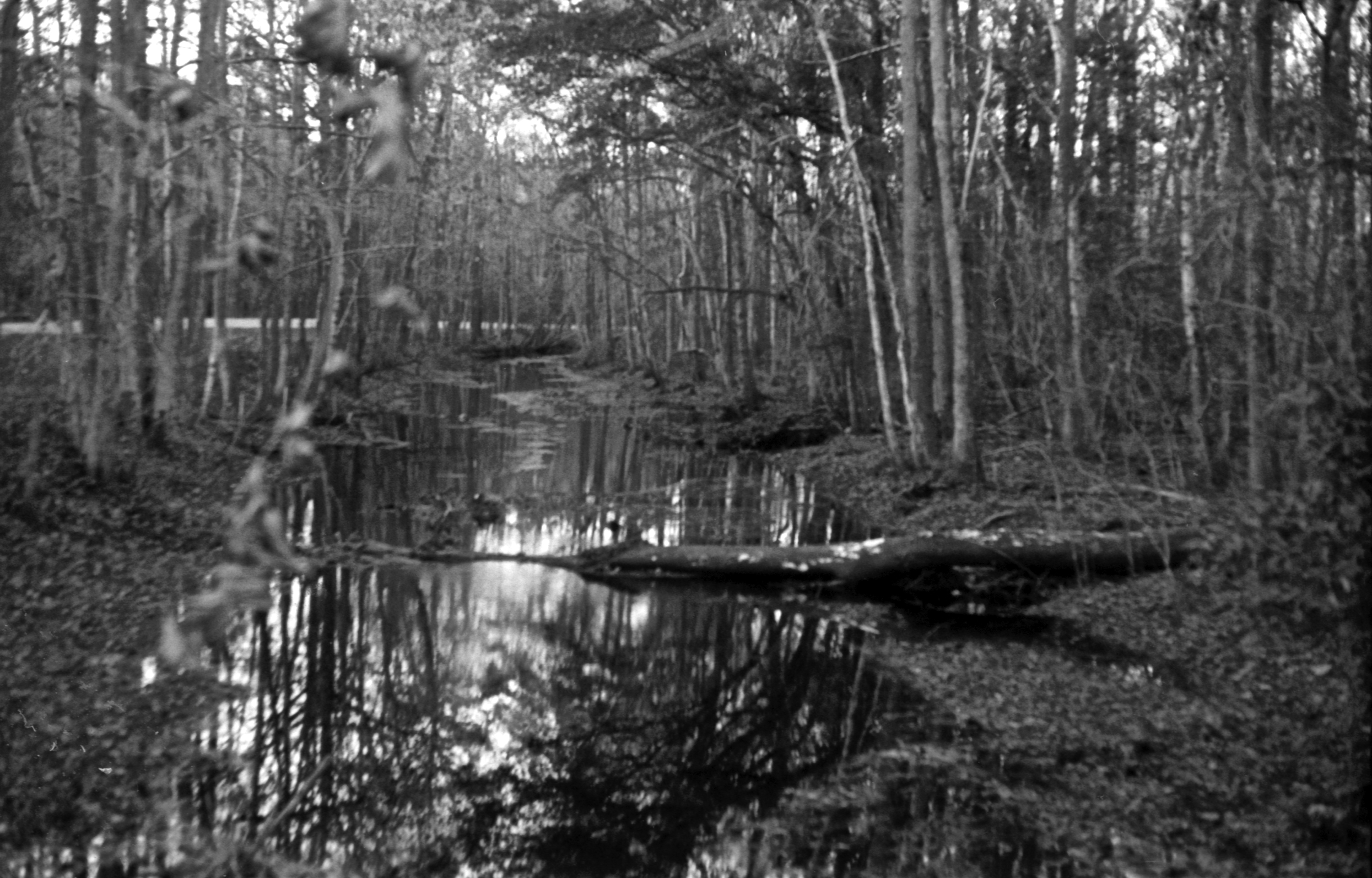
201312 Arista EDU 100 - Fed 3 - Industar 61 Scan-131212-0013
Down the Creek
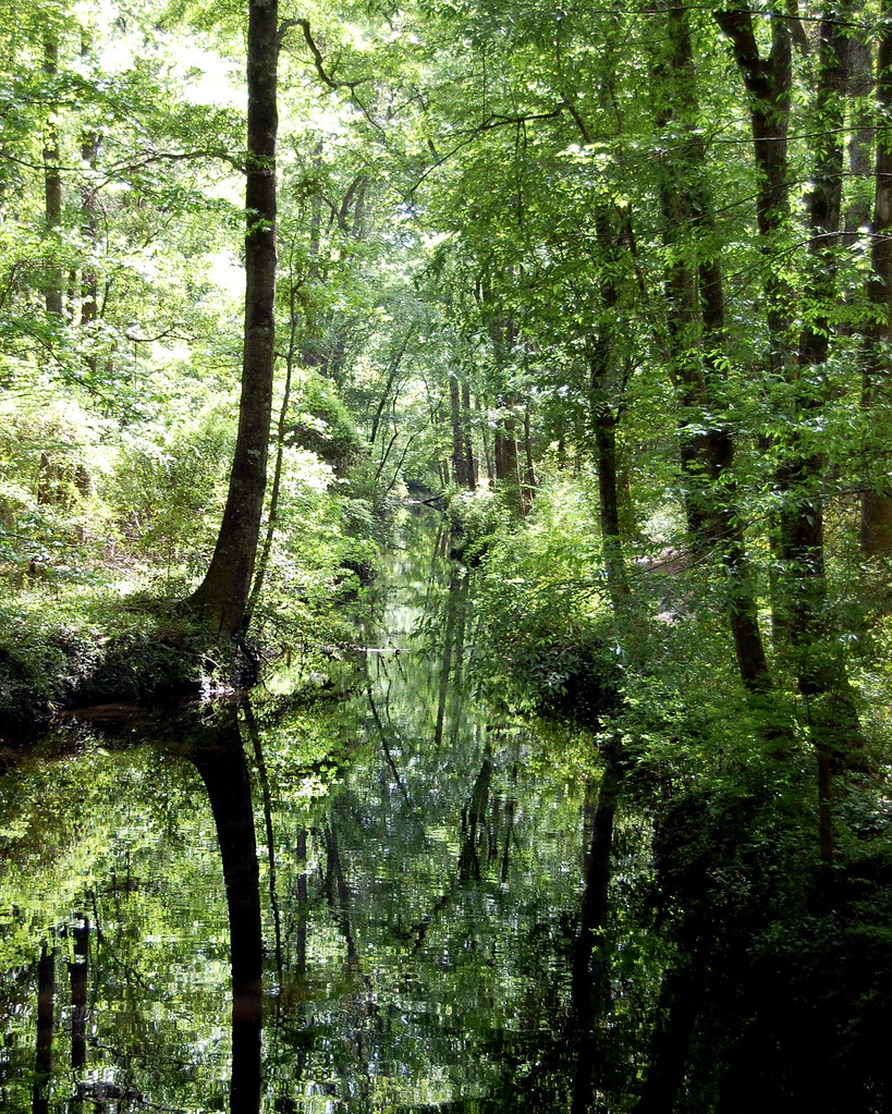
201310 Kodal Tmax 400 - Minolta STsi - Minolta 50-1.7 Scan-131003-0005
201303 Iford PanF 50 120format Scan-130327-0012
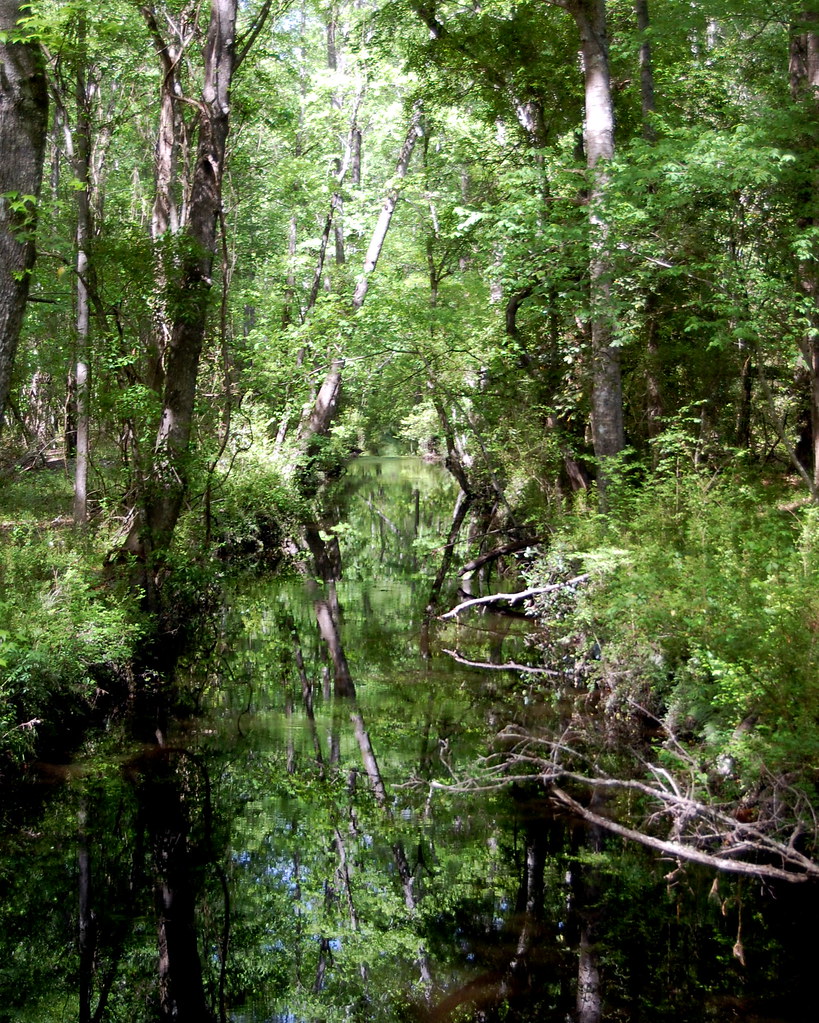
Down the Creek
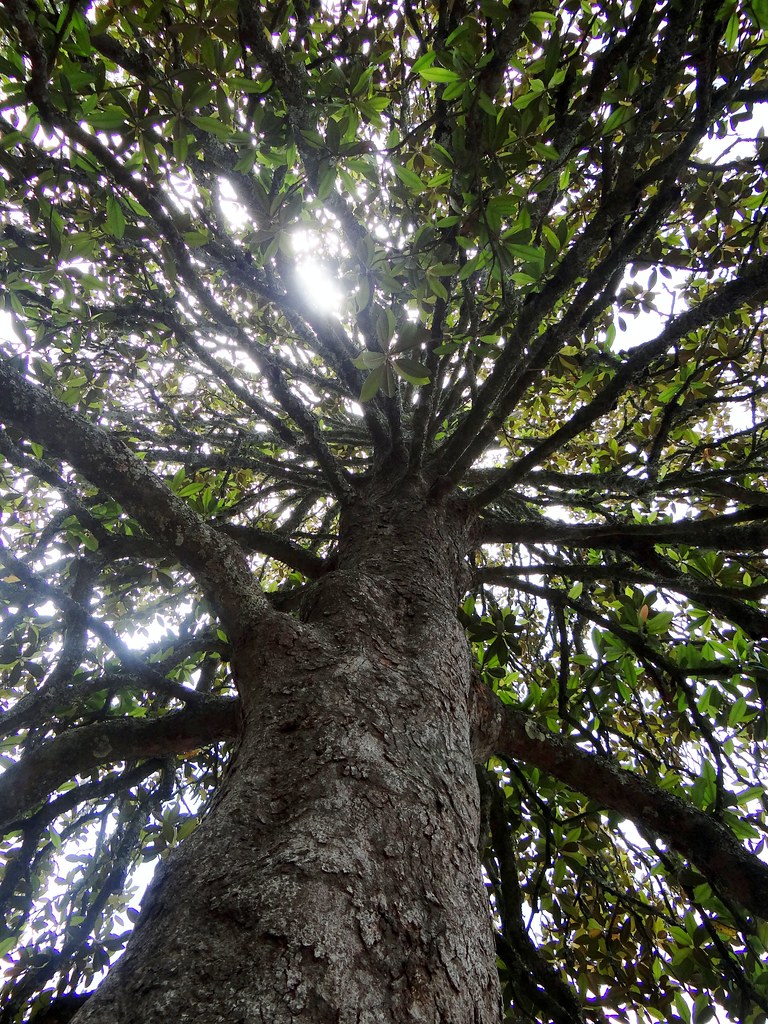
Looking up the magnolia tree
Hokey Pokey
IMG_1613.jpg

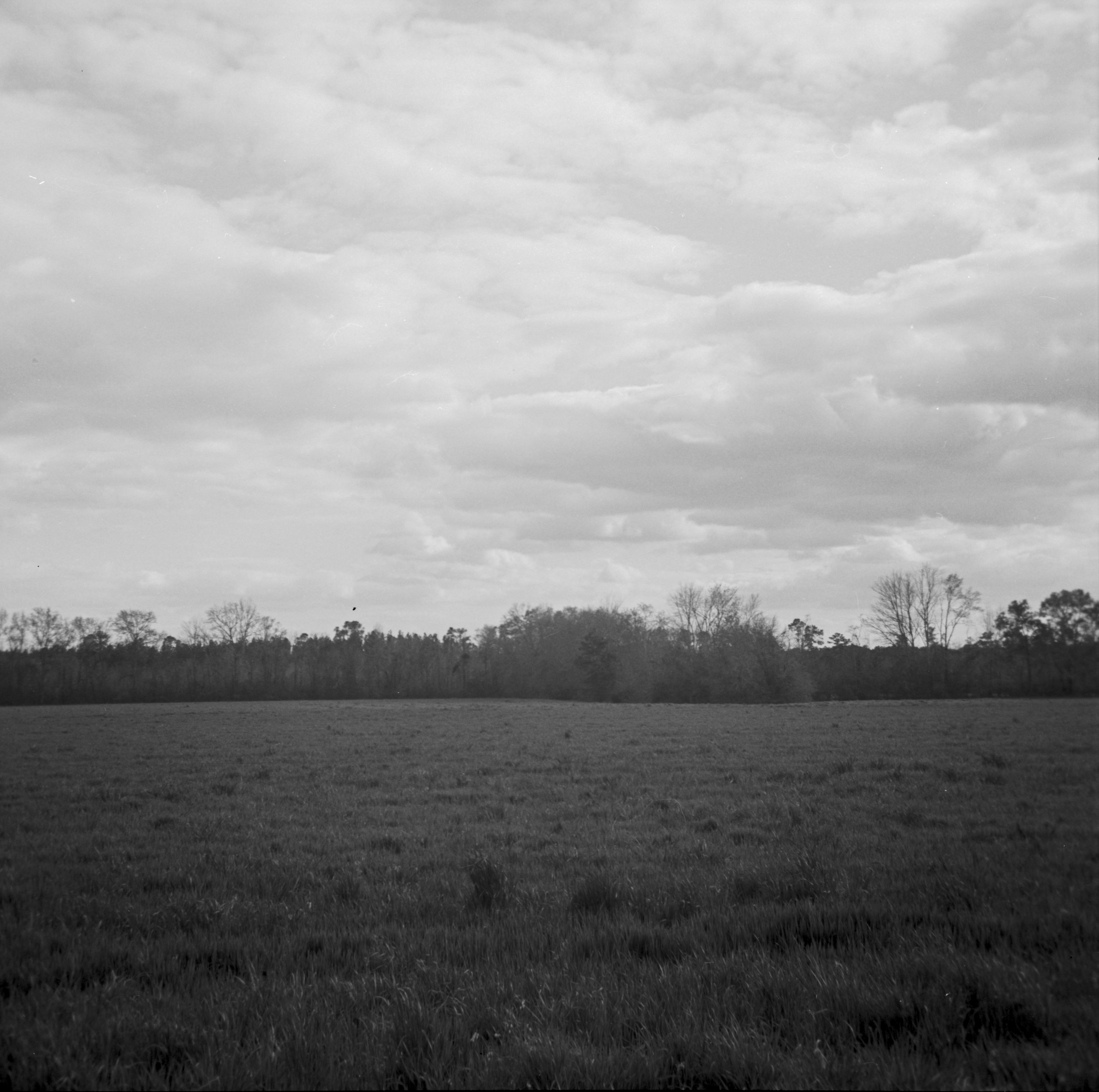
Walterboro Wildlife Sanctuary 1
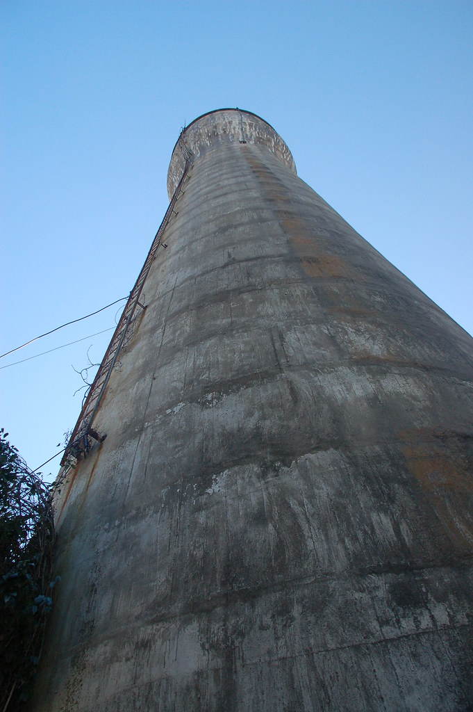
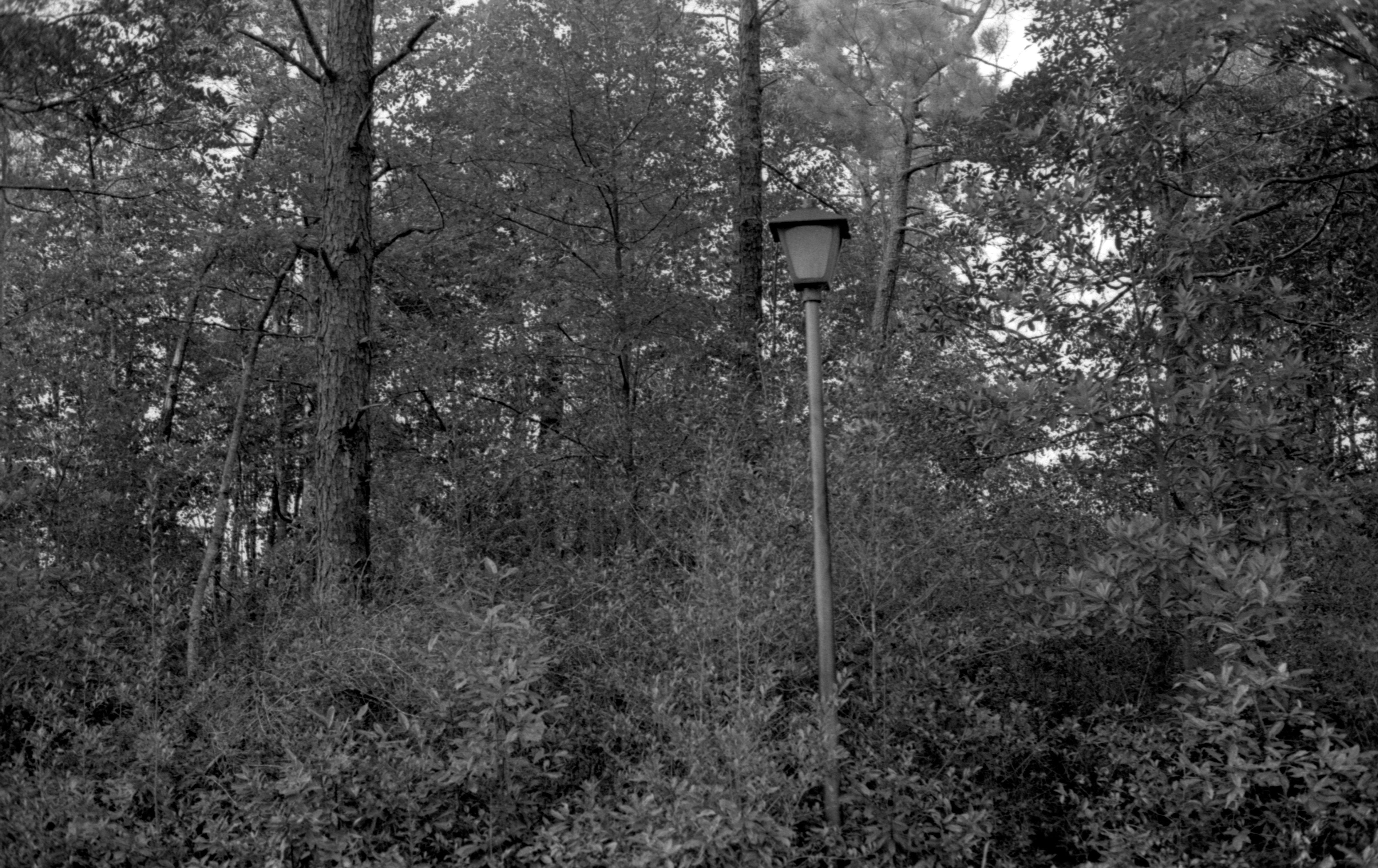
Walterboro Standpipe Ladder
Topographic Map of Warren St, Walterboro, SC, USA
Find elevation by address:

Places near Warren St, Walterboro, SC, USA:
214 Fishburne St
213 Colleton Loop
Walterboro
537 Aviation Way
600 State St
405 Silverhill Rd
405 Silverhill Rd
405 Silverhill Rd
1236 Pyefield Ln
Pyefield Lane
3985 Charleston Hwy
4796 Jefferies Hwy
459 Cottonwood Ln
459 Cottonwood Ln
685 Cottonwood Ln
Cottageville Hwy, Round O, SC, USA
4696 Sidneys Rd
4969 Sidneys Rd
4969 Sidneys Rd
762 State Rd S-15-379
Recent Searches:
- Elevation of Corso Fratelli Cairoli, 35, Macerata MC, Italy
- Elevation of Tallevast Rd, Sarasota, FL, USA
- Elevation of 4th St E, Sonoma, CA, USA
- Elevation of Black Hollow Rd, Pennsdale, PA, USA
- Elevation of Oakland Ave, Williamsport, PA, USA
- Elevation of Pedrógão Grande, Portugal
- Elevation of Klee Dr, Martinsburg, WV, USA
- Elevation of Via Roma, Pieranica CR, Italy
- Elevation of Tavkvetili Mountain, Georgia
- Elevation of Hartfords Bluff Cir, Mt Pleasant, SC, USA