Elevation of Wingspread Ln, Beulaville, NC, USA
Location: United States > North Carolina > Onslow County > Richlands >
Longitude: -77.636644
Latitude: 34.861091
Elevation: 27m / 89feet
Barometric Pressure: 101KPa
Elevation Map:
Satellite Map:
Related Photos:

"Milly, what color's the sky?" "It's pink and sissy blue."

Sunrise over soybeans

Sam and Merlin

Albert J Ellis Airport Police NC

North Carolina

Music is LOVE

The LQQK

Cotton Field

I paid how much for this dress

GETTING MARRIED STINKS

Oh DAD U bought this dress

WE CAN

Will u marry me?

OPPS I drop YOUR ring

Bonnie & Sonny

Braid and ponytail (her idea) with a wink

1956 Corvette
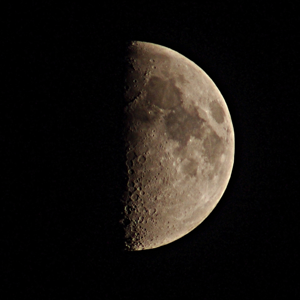
The Moon

Green Lynx Spider
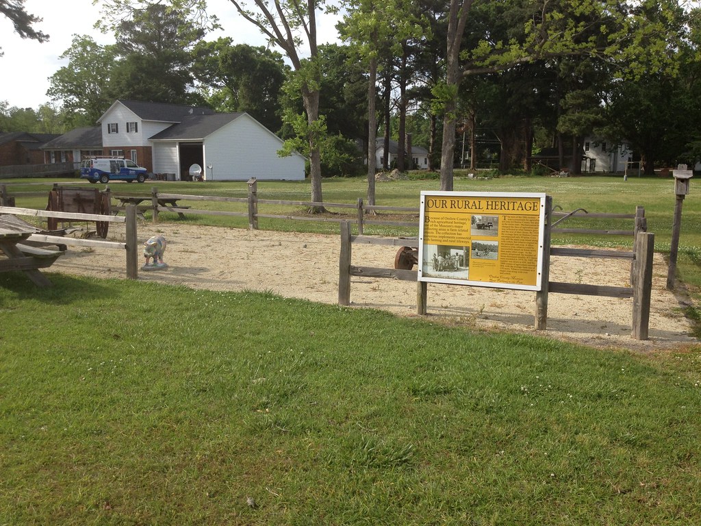
Our Rural Heritage, Richlands, NC

Manda found a pepper growing inside a pepper. #mutation

Congrats on the win @mich_mercer. Experience pays.
Topographic Map of Wingspread Ln, Beulaville, NC, USA
Find elevation by address:

Places near Wingspread Ln, Beulaville, NC, USA:
104 Hinson Ln
3088 Catherine Lake Rd
163 Christy Dr
3214 Catherine Lake Rd
3204 Catherine Lake Rd
3236 Catherine Lake Rd
3245 Catherine Lake Rd
3203 Catherine Lake Rd
306 Snow Bell Ct
Richlands
Camellia Creek Drive
109 Steamshovel Rd
108 Hotel Branch Ln
319 Shadyrock Path
412 Bannermans Mill Rd
Haw Branch Rd, Richlands, NC, USA
401 Haw Branch Rd
230 Long Neck Dr
263 Koonce Fork Rd
Catherine Lake Rd, Richlands, NC, USA
Recent Searches:
- Elevation of Corso Fratelli Cairoli, 35, Macerata MC, Italy
- Elevation of Tallevast Rd, Sarasota, FL, USA
- Elevation of 4th St E, Sonoma, CA, USA
- Elevation of Black Hollow Rd, Pennsdale, PA, USA
- Elevation of Oakland Ave, Williamsport, PA, USA
- Elevation of Pedrógão Grande, Portugal
- Elevation of Klee Dr, Martinsburg, WV, USA
- Elevation of Via Roma, Pieranica CR, Italy
- Elevation of Tavkvetili Mountain, Georgia
- Elevation of Hartfords Bluff Cir, Mt Pleasant, SC, USA