Elevation of Bannermans Mill Rd, Richlands, NC, USA
Location: United States > North Carolina > Onslow County > Richlands > Richlands >
Longitude: -77.564958
Latitude: 34.839695
Elevation: 14m / 46feet
Barometric Pressure: 101KPa
Elevation Map:
Satellite Map:
Related Photos:
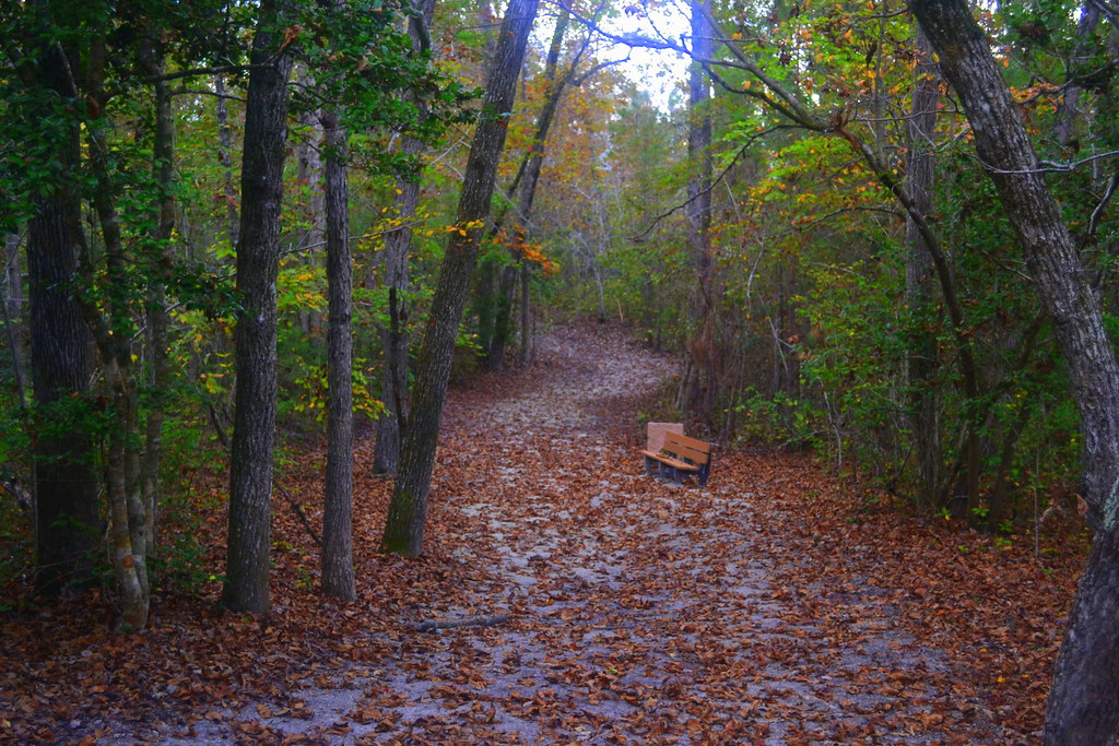
The Views
North Carolina
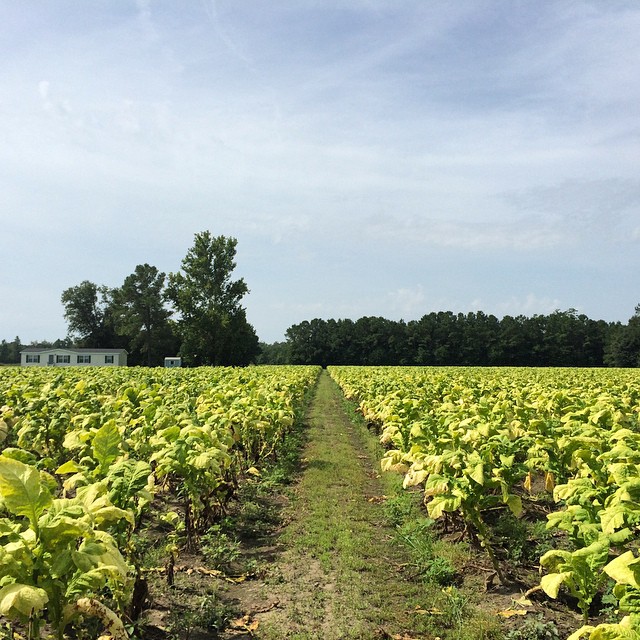
Tobacco Road
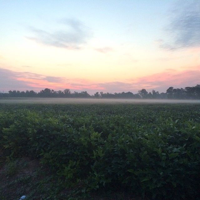
Sunrise over soybeans
Oak Hurst
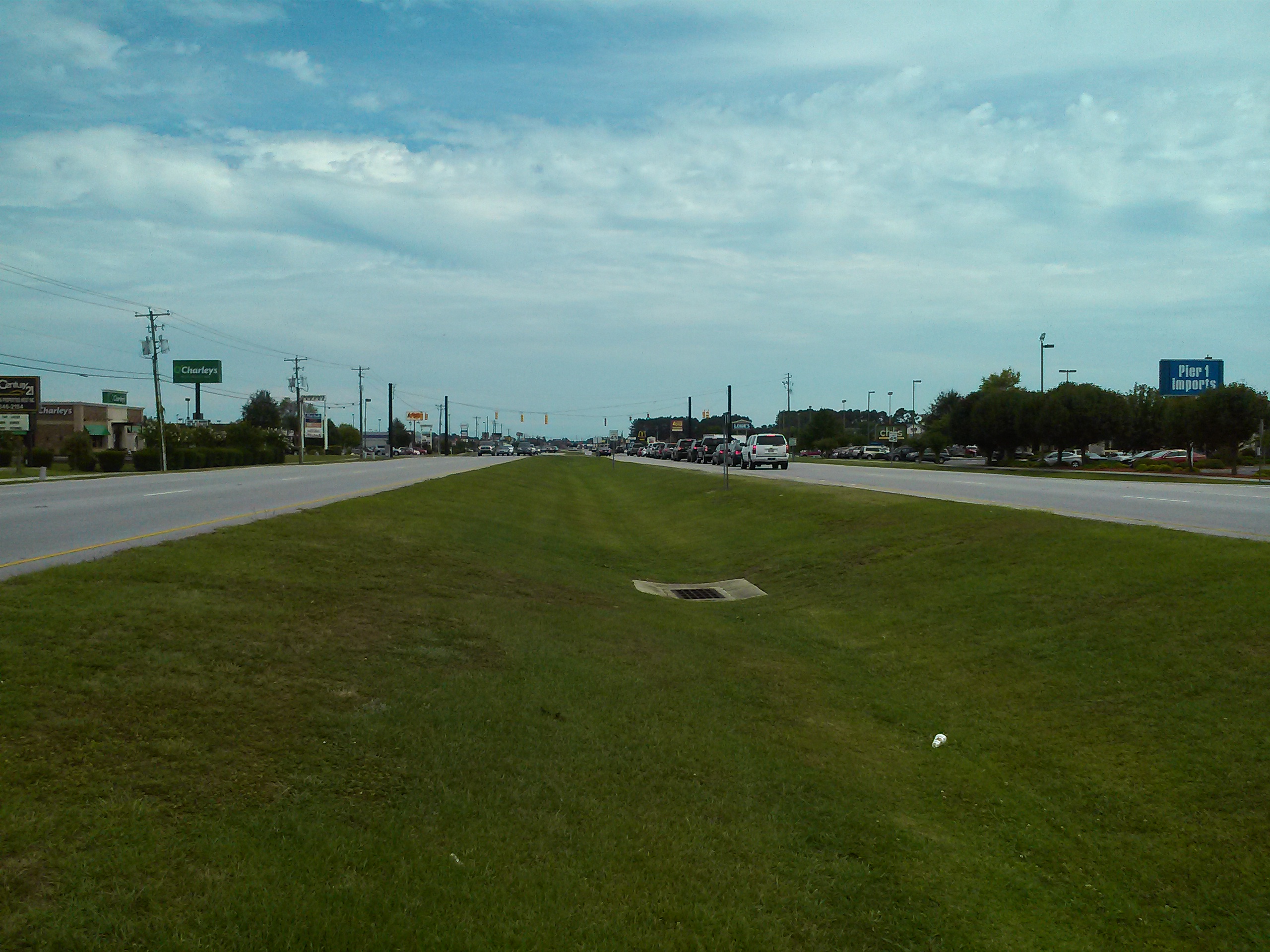
What is wrong with this picture?

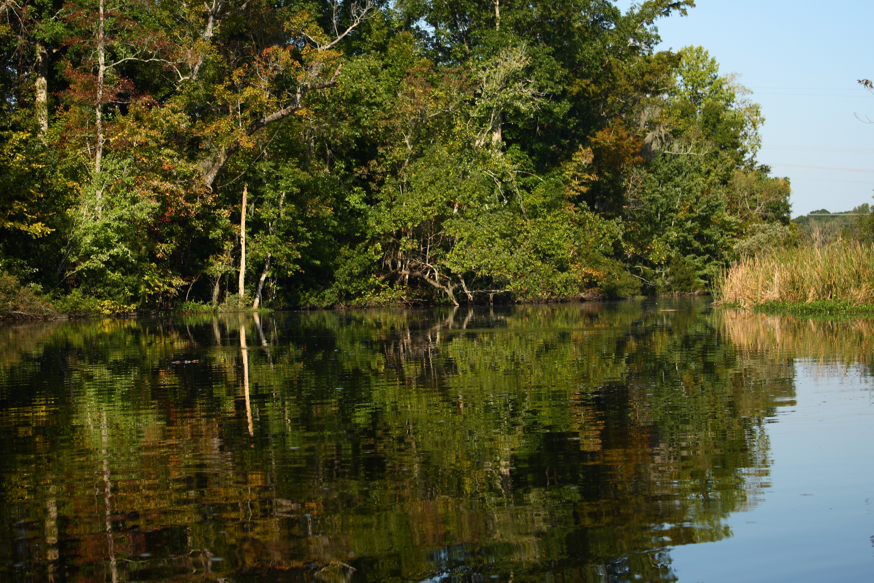
Dock at New River
DSC_3389-Pano.jpg

Spring Can Really Hang You Up the Most

If like the leaf of the wisteria through which the sun darts his rays...

1/366 1/1/2016
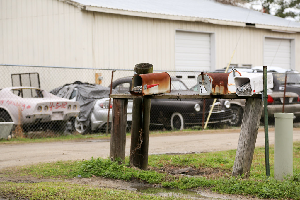
Junk Mail

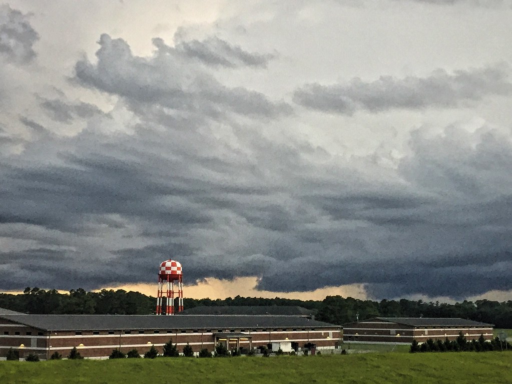
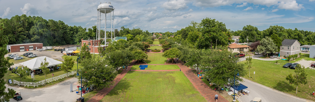
Water Tower

Sundown #520: Sugar Smacks, Cap'n Crunch & Fruity Pebbles - Jacksonville, North Carolina

Fireman - Uncle Charlie's Angells #186 - Jacksonville, North Carolina

Byron&Matthew Mynes

Melody, Music Man & Mr. Rhythm - Jacksonville, North Carolina

Sundown #514: Cagey Lady & South Paw - Jacksonville, North Carolina

22/366 1/22/2016 Rainy day processing

Music is LOVE

The LQQK
Twenty Ninety-Six

Nikon 105 mm f2.5 AI-S
Topographic Map of Bannermans Mill Rd, Richlands, NC, USA
Find elevation by address:

Places near Bannermans Mill Rd, Richlands, NC, USA:
108 Hotel Branch Ln
230 Long Neck Dr
Catherine Lake Rd, Richlands, NC, USA
147 Harvest Moon Dr
Camellia Creek Drive
Richlands
7049 Richlands Hwy
255 Newbold Rd
306 Snow Bell Ct
163 Christy Dr
263 Koonce Fork Rd
127 Bellchase Drive
104 Hinson Ln
8405 Richlands Hwy
Richlands
309 Winstead Loop Rd
103 Esquire Dr
Huffmantown Rd, Richlands, NC, USA
3088 Catherine Lake Rd
703 Eagle Ct
Recent Searches:
- Elevation of Corso Fratelli Cairoli, 35, Macerata MC, Italy
- Elevation of Tallevast Rd, Sarasota, FL, USA
- Elevation of 4th St E, Sonoma, CA, USA
- Elevation of Black Hollow Rd, Pennsdale, PA, USA
- Elevation of Oakland Ave, Williamsport, PA, USA
- Elevation of Pedrógão Grande, Portugal
- Elevation of Klee Dr, Martinsburg, WV, USA
- Elevation of Via Roma, Pieranica CR, Italy
- Elevation of Tavkvetili Mountain, Georgia
- Elevation of Hartfords Bluff Cir, Mt Pleasant, SC, USA