Elevation of Koonce Fork Rd, Richlands, NC, USA
Location: United States > North Carolina > Onslow County > Richlands > Richlands >
Longitude: -77.561396
Latitude: 34.890867
Elevation: 10m / 33feet
Barometric Pressure: 101KPa
Elevation Map:
Satellite Map:
Related Photos:
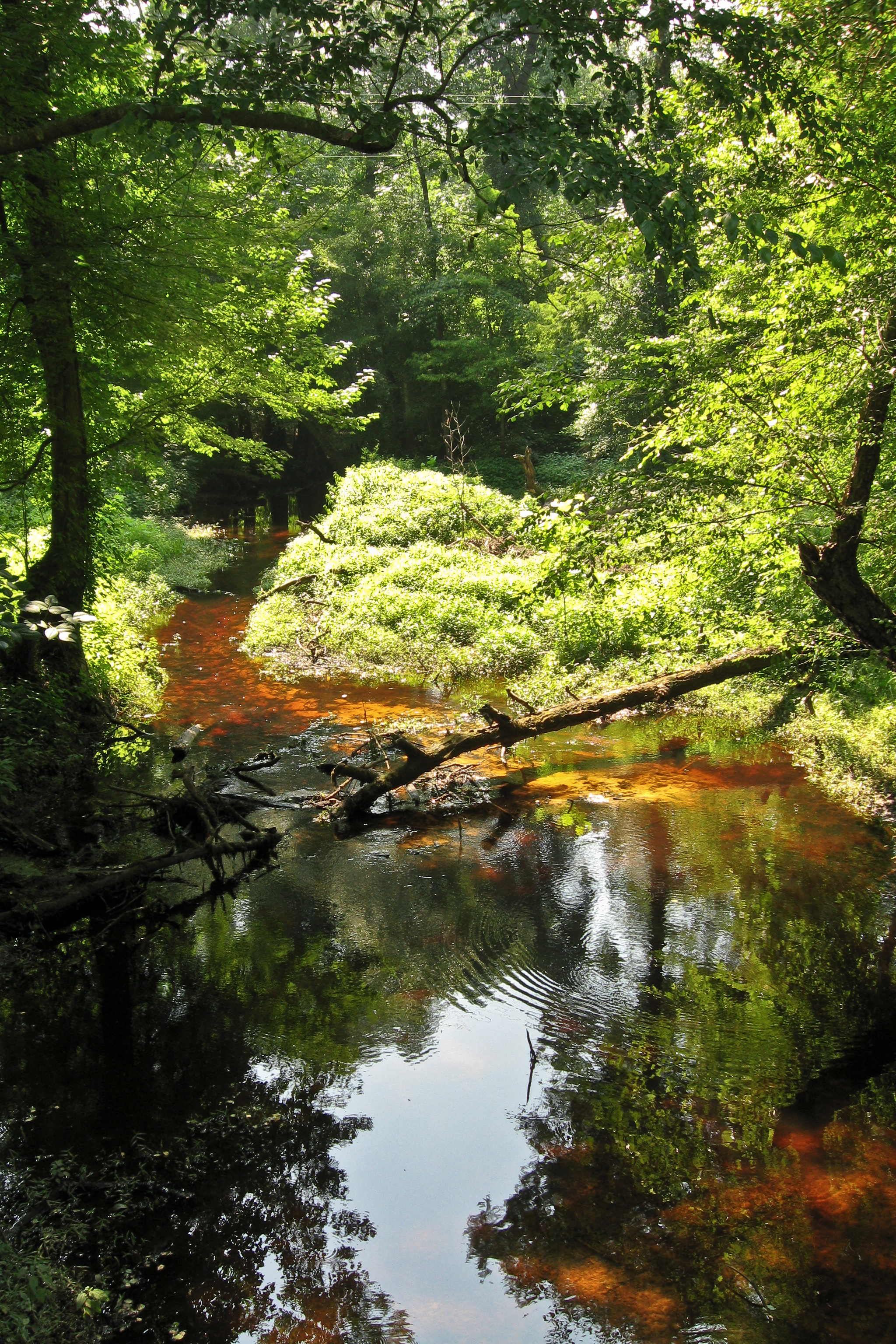
Tuckahoe Creek
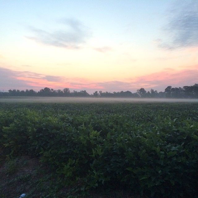
Sunrise over soybeans
Topographic Map of Koonce Fork Rd, Richlands, NC, USA
Find elevation by address:

Places near Koonce Fork Rd, Richlands, NC, USA:
8405 Richlands Hwy
Richlands
Huffmantown Rd, Richlands, NC, USA
7049 Richlands Hwy
309 Winstead Loop Rd
502 Esquire Dr
103 Esquire Dr
121 Groveshire Pl
Maidstone Drive
Camellia Creek Drive
Richlands
108 Hotel Branch Ln
301 Francktown Rd
John Deere Court
E Bayshore Blvd, Jacksonville, NC, USA
319 Shadyrock Path
107 Prelude Dr
412 Bannermans Mill Rd
High Cottage Lane
306 Cadenza Lane
Recent Searches:
- Elevation of Corso Fratelli Cairoli, 35, Macerata MC, Italy
- Elevation of Tallevast Rd, Sarasota, FL, USA
- Elevation of 4th St E, Sonoma, CA, USA
- Elevation of Black Hollow Rd, Pennsdale, PA, USA
- Elevation of Oakland Ave, Williamsport, PA, USA
- Elevation of Pedrógão Grande, Portugal
- Elevation of Klee Dr, Martinsburg, WV, USA
- Elevation of Via Roma, Pieranica CR, Italy
- Elevation of Tavkvetili Mountain, Georgia
- Elevation of Hartfords Bluff Cir, Mt Pleasant, SC, USA