Elevation of Long Neck Dr, Richlands, NC, USA
Location: United States > North Carolina > Onslow County > Richlands > Richlands >
Longitude: -77.569777
Latitude: 34.8229505
Elevation: 27m / 89feet
Barometric Pressure: 101KPa
Elevation Map:
Satellite Map:
Related Photos:

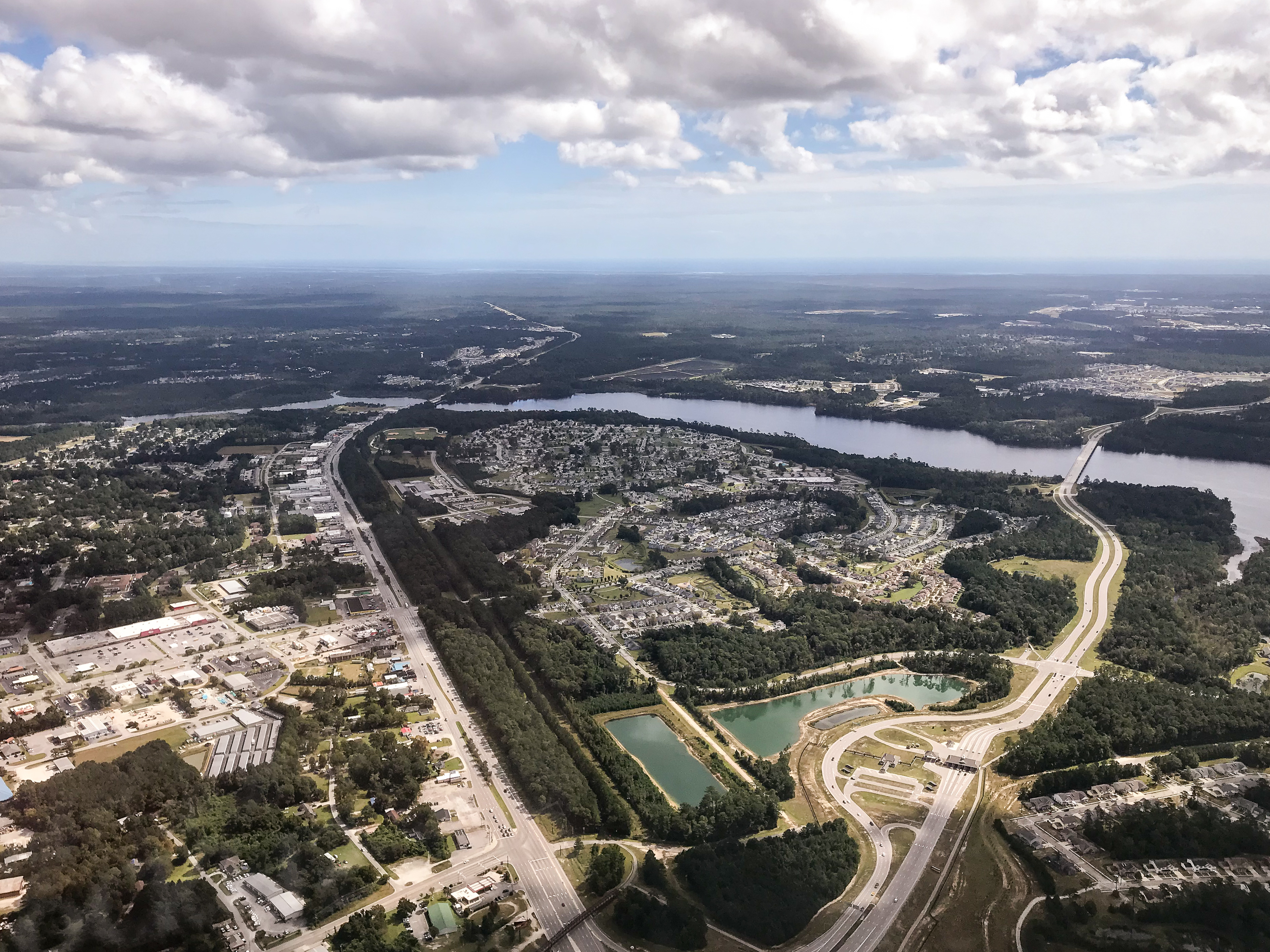
Welcome to Jacksonville, North Carolina
Hurricane Relief 2017
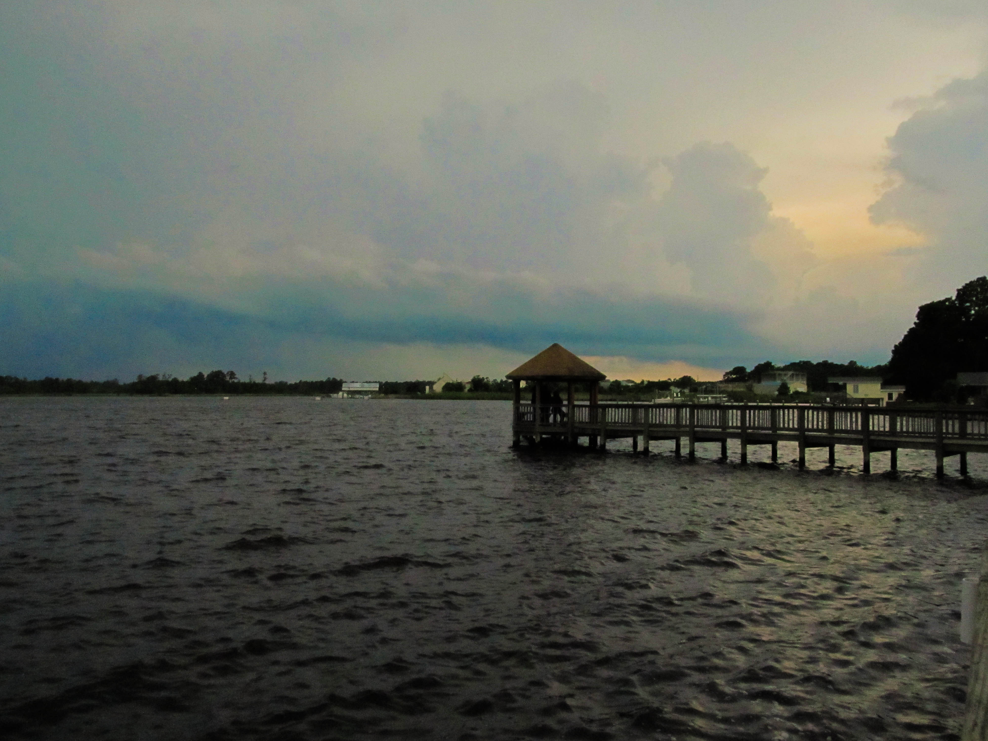
Wilson Bay Gazebo
Media-09-3Wed-0105 050

"Milly, what color's the sky?" "It's pink and sissy blue."
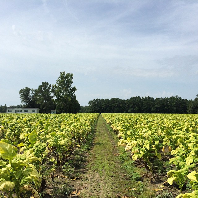
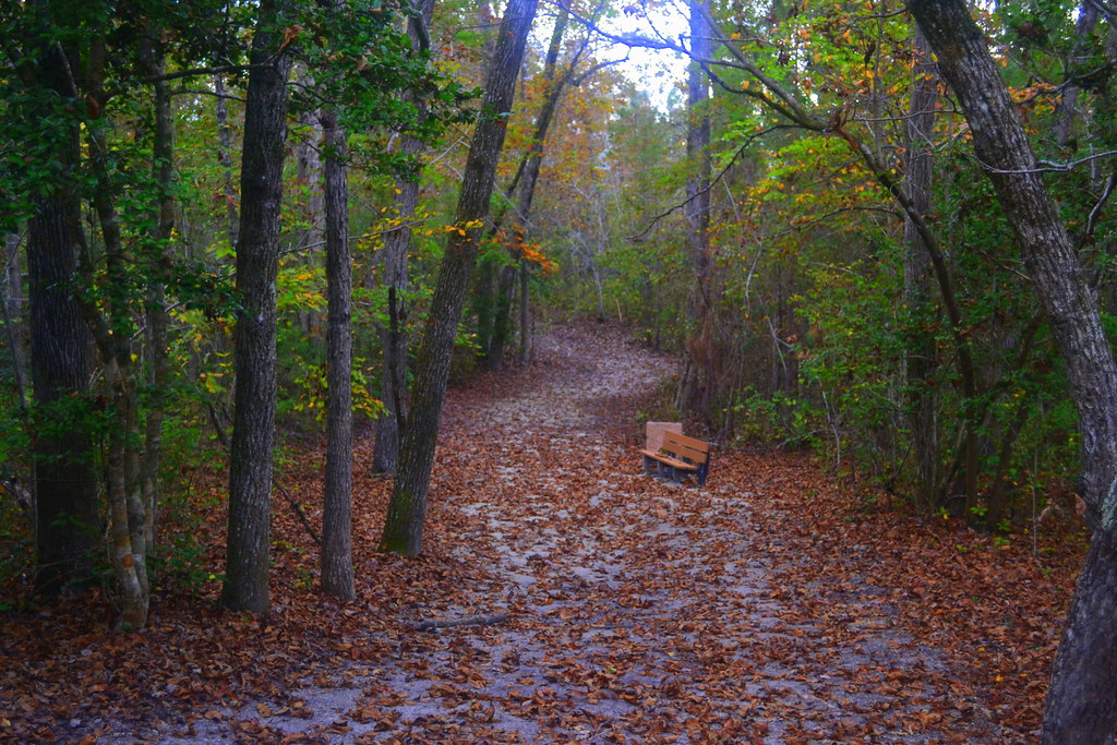
Tobacco Road

Sunrise over soybeans

Media-09-3Wed-1020 019
Oak Hurst

Media-09-3Wed-0100 166

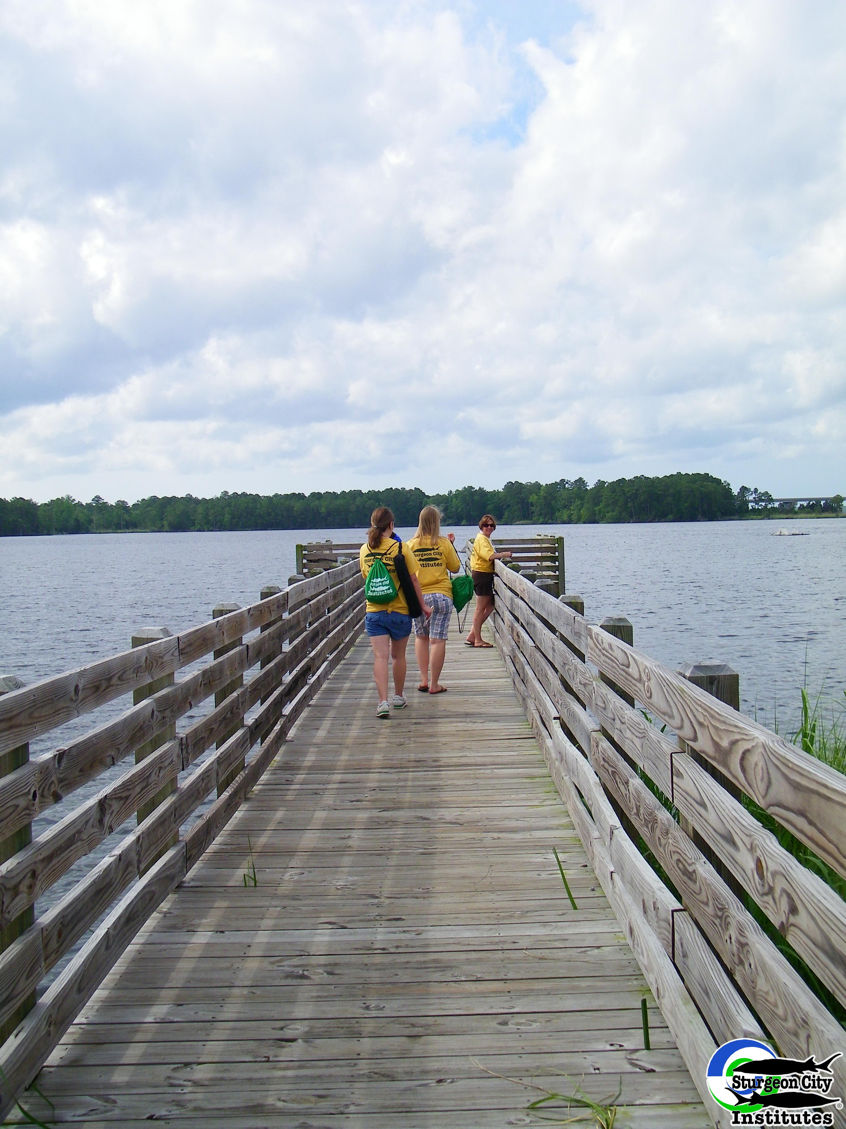
Dock at New River
North Carolina
Topographic Map of Long Neck Dr, Richlands, NC, USA
Find elevation by address:

Places near Long Neck Dr, Richlands, NC, USA:
Catherine Lake Rd, Richlands, NC, USA
412 Bannermans Mill Rd
147 Harvest Moon Dr
108 Hotel Branch Ln
Camellia Creek Drive
Richlands
255 Newbold Rd
163 Christy Dr
7049 Richlands Hwy
127 Bellchase Drive
306 Snow Bell Ct
3088 Catherine Lake Rd
104 Hinson Ln
263 Koonce Fork Rd
3204 Catherine Lake Rd
3203 Catherine Lake Rd
3214 Catherine Lake Rd
3236 Catherine Lake Rd
223 Wingspread Ln
3245 Catherine Lake Rd
Recent Searches:
- Elevation of Corso Fratelli Cairoli, 35, Macerata MC, Italy
- Elevation of Tallevast Rd, Sarasota, FL, USA
- Elevation of 4th St E, Sonoma, CA, USA
- Elevation of Black Hollow Rd, Pennsdale, PA, USA
- Elevation of Oakland Ave, Williamsport, PA, USA
- Elevation of Pedrógão Grande, Portugal
- Elevation of Klee Dr, Martinsburg, WV, USA
- Elevation of Via Roma, Pieranica CR, Italy
- Elevation of Tavkvetili Mountain, Georgia
- Elevation of Hartfords Bluff Cir, Mt Pleasant, SC, USA