Elevation of Winchester, IN, USA
Location: United States > Indiana > Randolph County > White River Township >
Longitude: -84.981754
Latitude: 40.1595181
Elevation: 334m / 1096feet
Barometric Pressure: 97KPa
Elevation Map:
Satellite Map:
Related Photos:

Still Protecting the Now Gone Switch

Late Saturday Afternoon

Shadows to Light
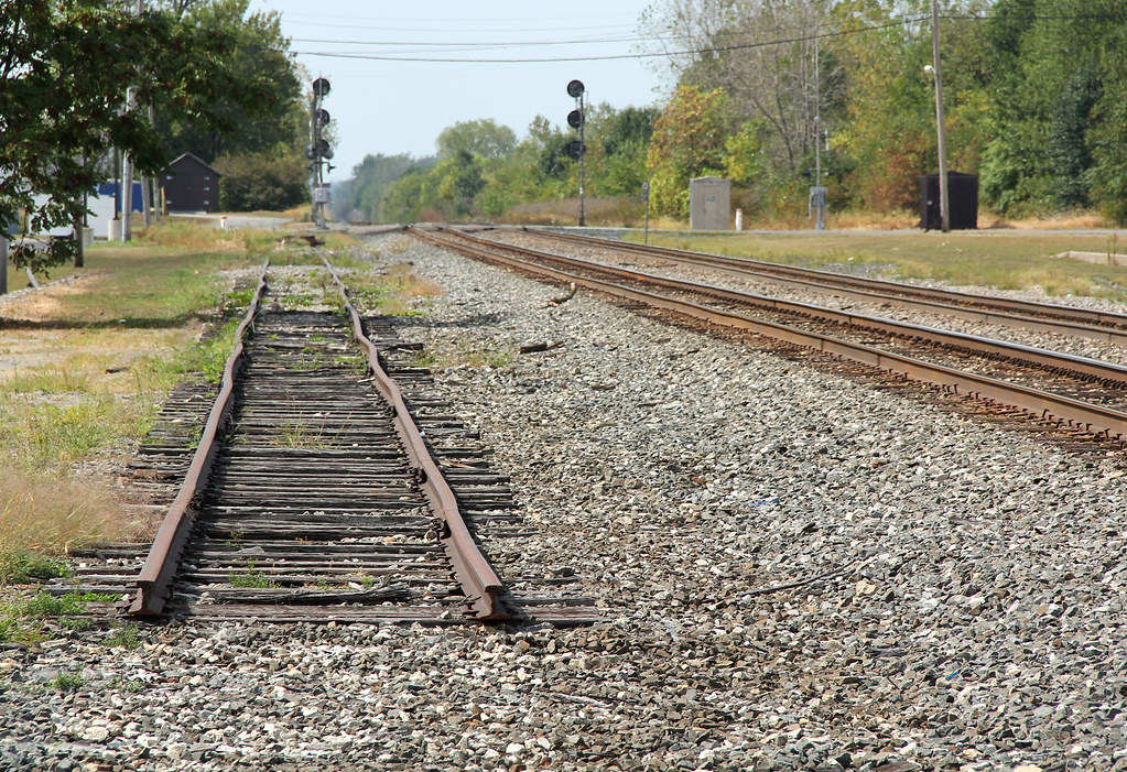
Siding to Nowhere

Where's the Locomotive?

Hayride...

Cleveland, Cincinnati, Chicago & St. Louis Railway, (New York Central Railroad), Indiana, Winchester (13,436-b)

Cleveland, Cincinnati, Chicago & St. Louis Railway, (New York Central Railroad), Indiana, Winchester (13,436)

White River, Not Far From Its Beginning

The open skies

Randolph County Windmills
near S 950 W & W 50 S
Topographic Map of Winchester, IN, USA
Find elevation by address:

Places near Winchester, IN, USA:
Winchester
White River Township
Randolph County
E S, Winchester, IN, USA
Washington Township
W N, Winchester, IN, USA
N E, Union City, IN, USA
Farmland Conservation Club
503 W Church St
N Main St, Winchester, IN, USA
Lynn
224 E Church St
W S, Farmland, IN, USA
E Greenville Pike, Union City, IN, USA
6894 S Boundary Pike
401 S Plum St
Wayne Township
110 E Henry St
7766 S Boundary Pike
E Henry St, Farmland, IN, USA
Recent Searches:
- Elevation of Corso Fratelli Cairoli, 35, Macerata MC, Italy
- Elevation of Tallevast Rd, Sarasota, FL, USA
- Elevation of 4th St E, Sonoma, CA, USA
- Elevation of Black Hollow Rd, Pennsdale, PA, USA
- Elevation of Oakland Ave, Williamsport, PA, USA
- Elevation of Pedrógão Grande, Portugal
- Elevation of Klee Dr, Martinsburg, WV, USA
- Elevation of Via Roma, Pieranica CR, Italy
- Elevation of Tavkvetili Mountain, Georgia
- Elevation of Hartfords Bluff Cir, Mt Pleasant, SC, USA