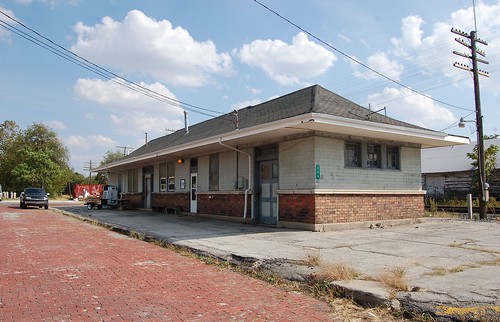
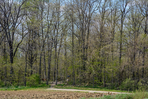
Elevation of W Church St, Lynn, IN, USA
Location: United States > Indiana > Randolph County > Washington Township > Lynn >
Longitude: -84.94561
Latitude: 40.04844
Elevation: 356m / 1168feet
Barometric Pressure: 97KPa
Related Photos:
Topographic Map of W Church St, Lynn, IN, USA
Find elevation by address:

Places near W Church St, Lynn, IN, USA:
N Main St, Winchester, IN, USA
Lynn
224 E Church St
Washington Township
7766 S Boundary Pike
Greensfork Township
6894 S Boundary Pike
New Garden Township
S Arba Pike, Lynn, IN, USA
S Arba Pike, Lynn, IN, USA
Fountain City
W Main Fountain City Pike, Fountain City, IN, USA
Hoosier Hill
9986 Elliott Rd
Bethel
Franklin Township
9708 In-227
US-36, Greenville, OH, USA
Chenoweth Rd, Hollansburg, OH, USA
415 Chenoweth Rd
Recent Searches:
- Elevation of Corso Fratelli Cairoli, 35, Macerata MC, Italy
- Elevation of Tallevast Rd, Sarasota, FL, USA
- Elevation of 4th St E, Sonoma, CA, USA
- Elevation of Black Hollow Rd, Pennsdale, PA, USA
- Elevation of Oakland Ave, Williamsport, PA, USA
- Elevation of Pedrógão Grande, Portugal
- Elevation of Klee Dr, Martinsburg, WV, USA
- Elevation of Via Roma, Pieranica CR, Italy
- Elevation of Tavkvetili Mountain, Georgia
- Elevation of Hartfords Bluff Cir, Mt Pleasant, SC, USA
