Elevation of S Arba Pike, Lynn, IN, USA
Location: United States > Indiana > Randolph County > Greensfork Township >
Longitude: -84.861337
Latitude: 40.043689
Elevation: 362m / 1188feet
Barometric Pressure: 97KPa
Elevation Map:
Satellite Map:
Related Photos:
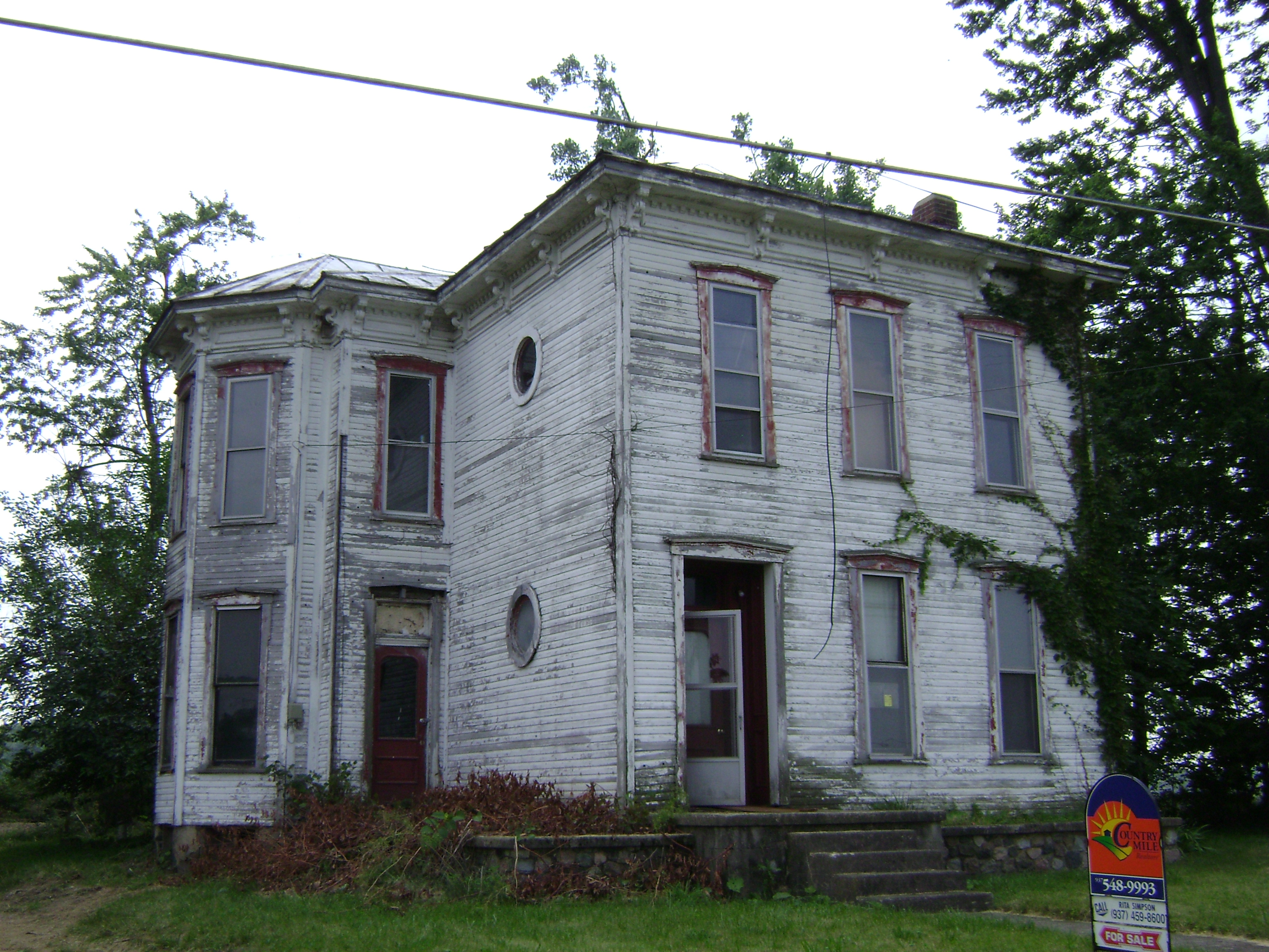
Baker, Ohio
Deerlick Farm
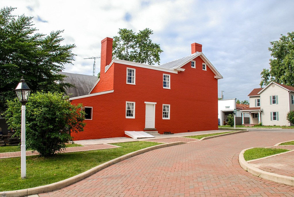
Levi Coffin House
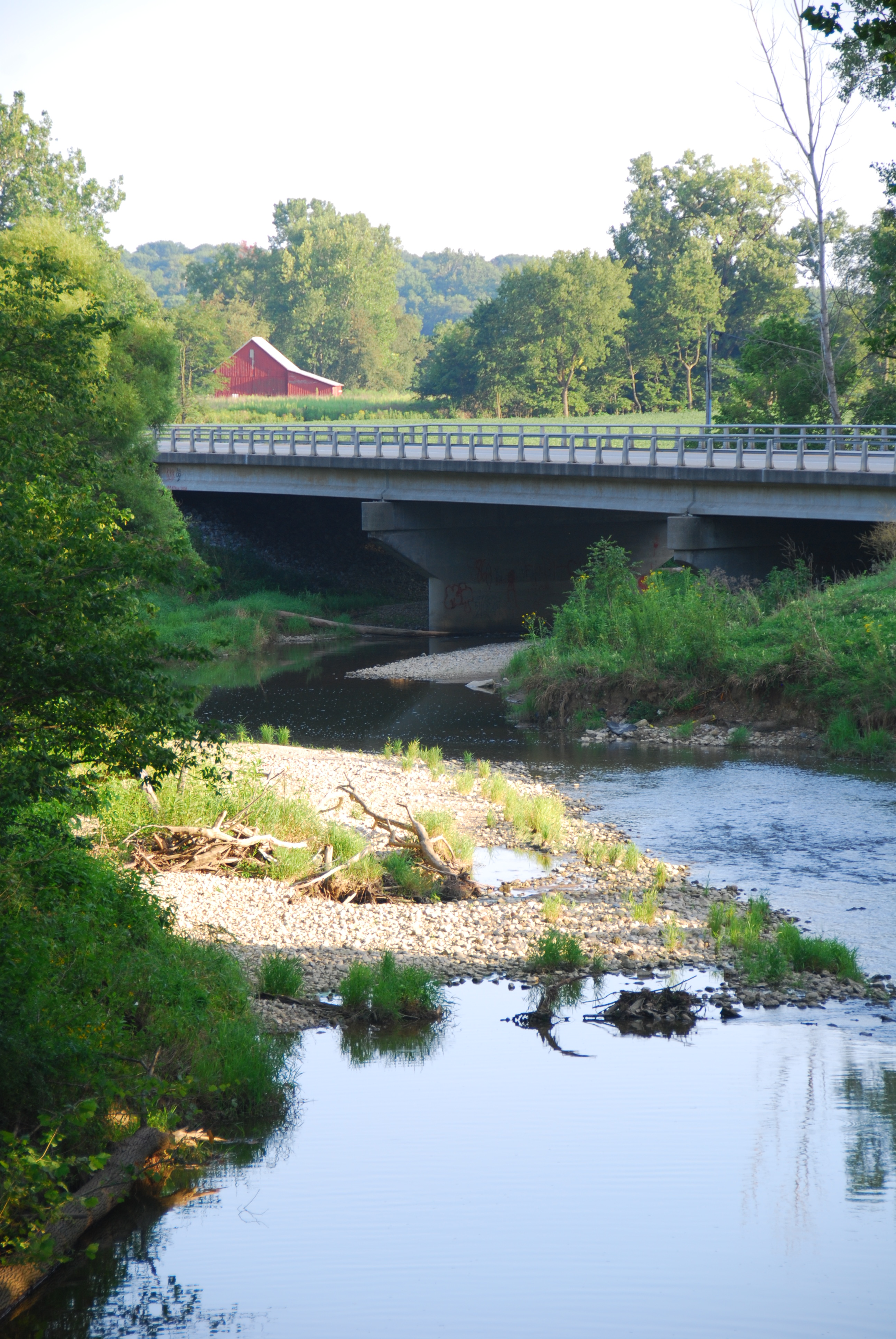
Greensfork River Bridge
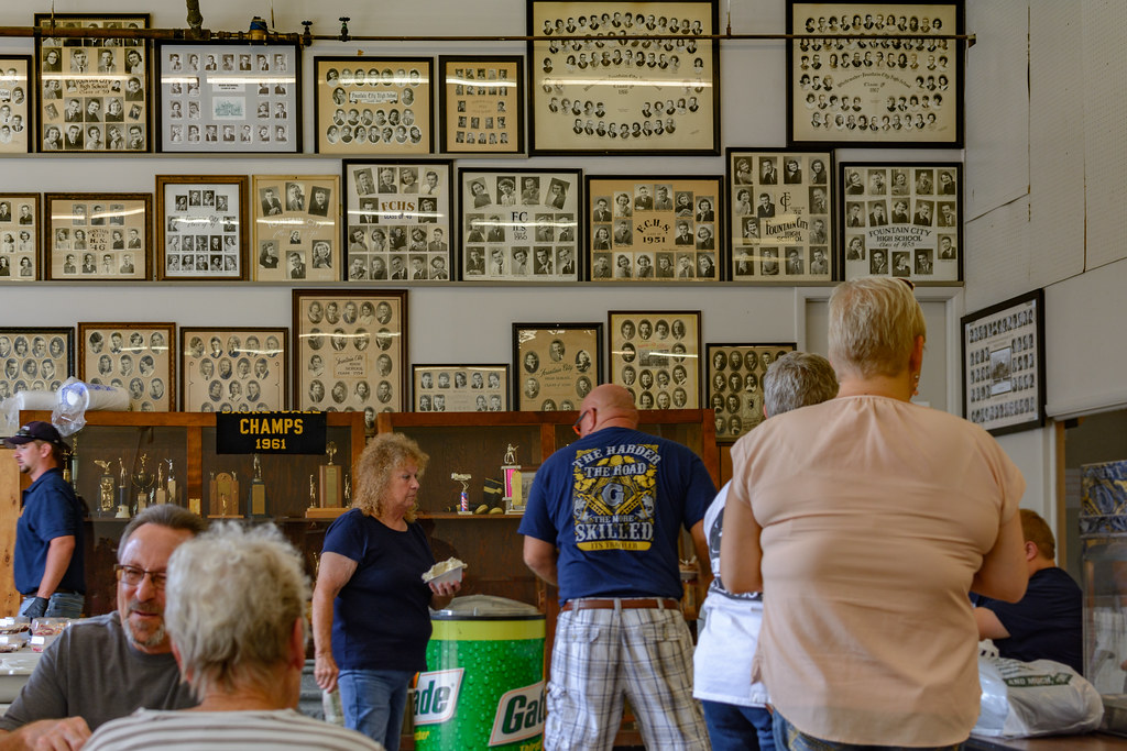
FCHS Composites
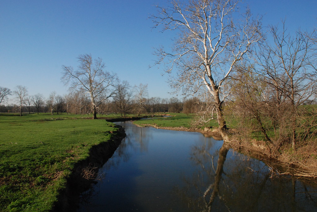
Whitewater River

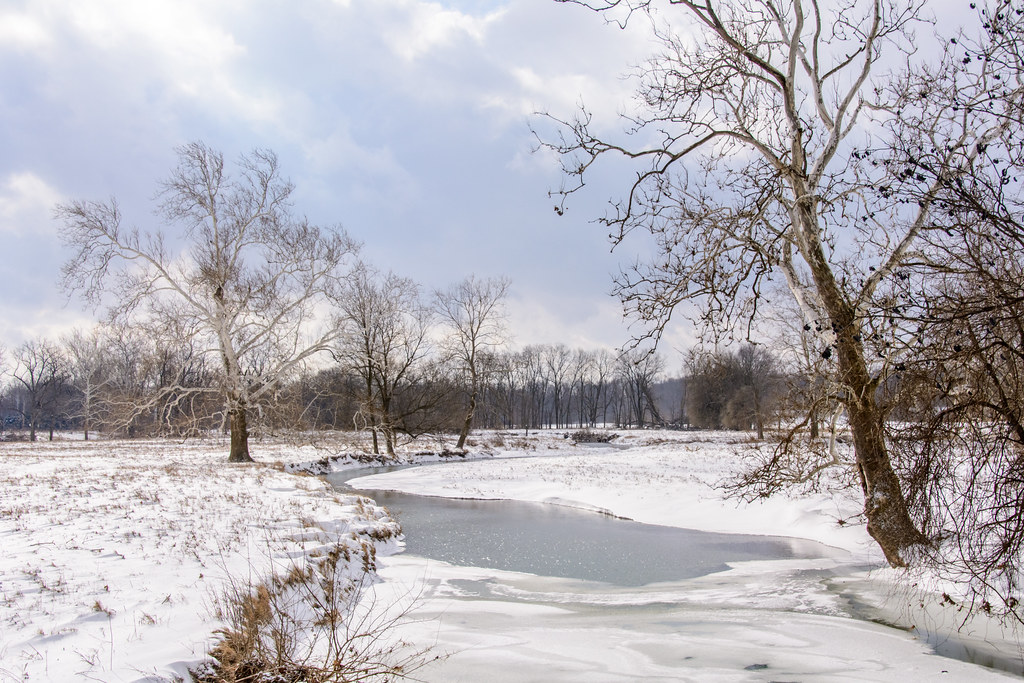
Deerlick at Twilight
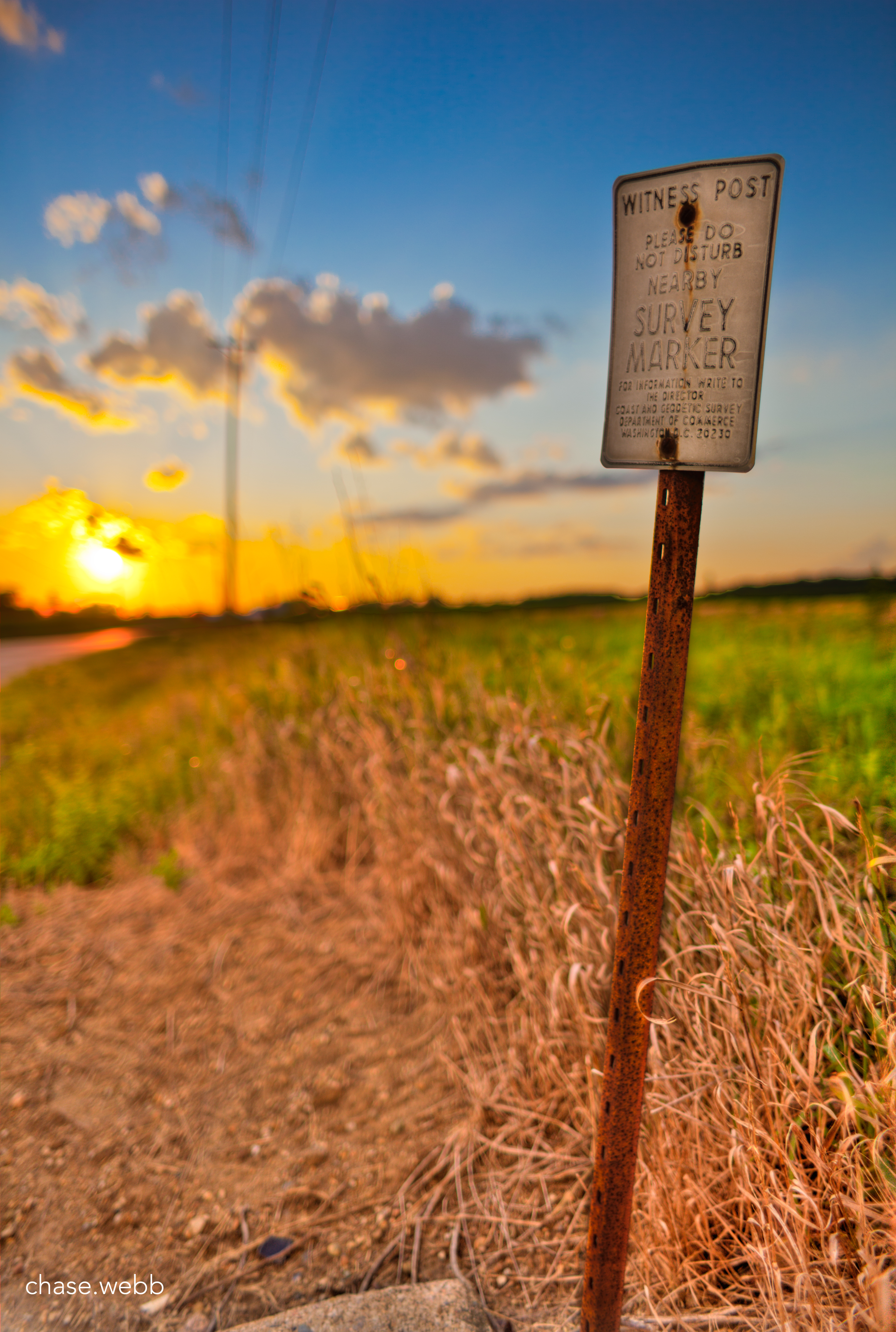
The Weathered Sign

The open skies
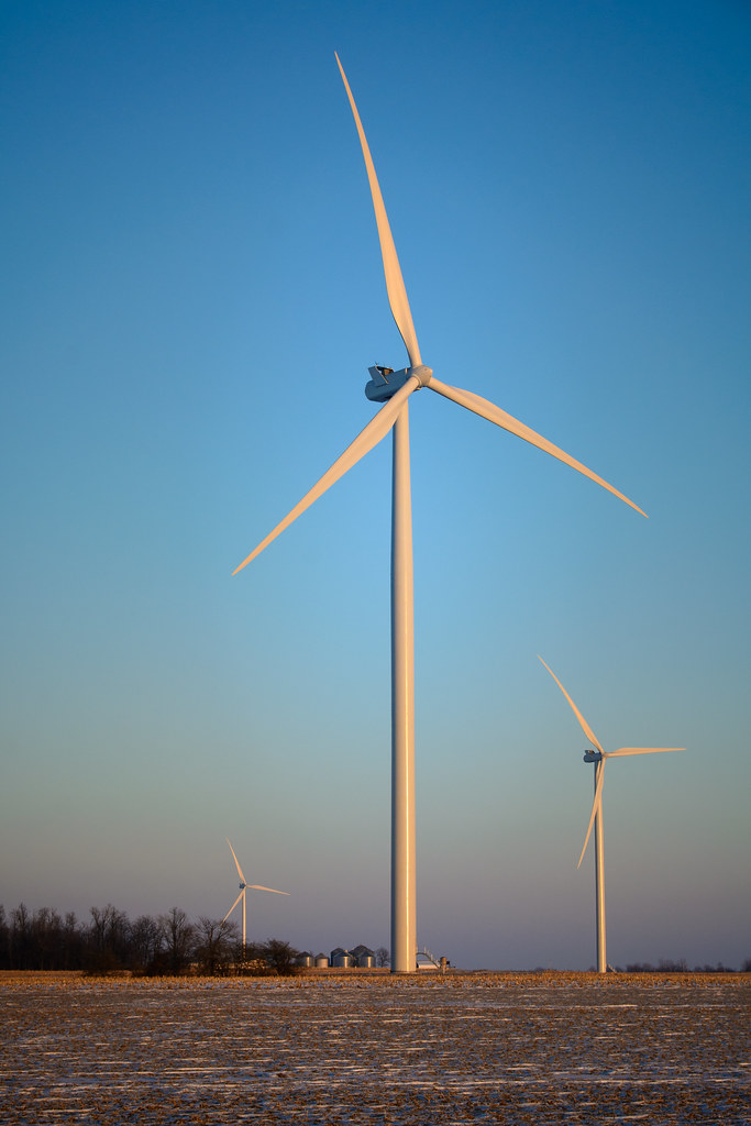
Randolph County Windmills

Hoosier Hill

Tower on the Farm

High Point in Indiana
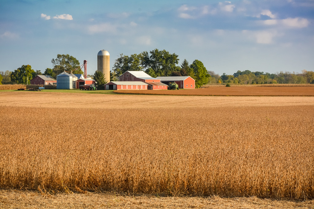
Fall Harvest Completed
Work Horses
Deerlick Farm

U.S. 35 Bridge
Ready to Bale Straw
Whitewater River
Pumpkin Patch
Highest Point in Indiana
Pumpkin Patch near Fountain City, Indiana
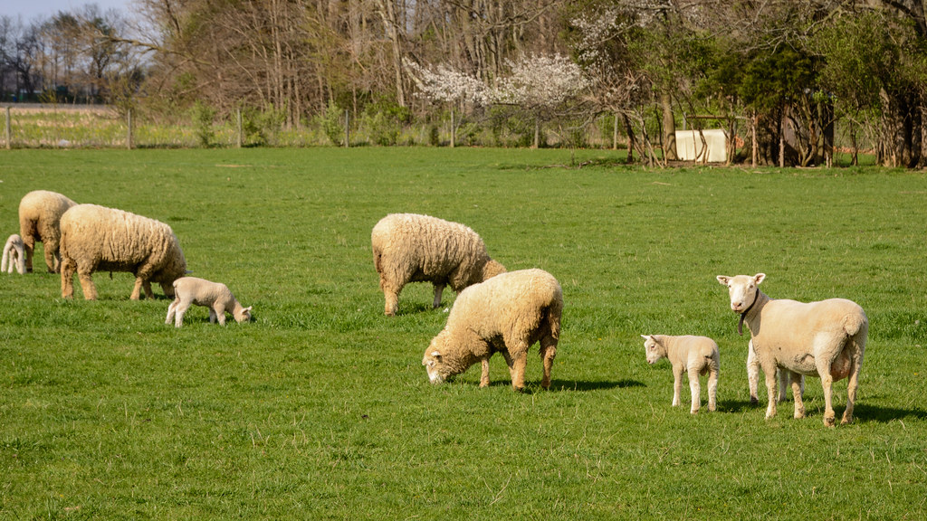
Spring Lambing Time
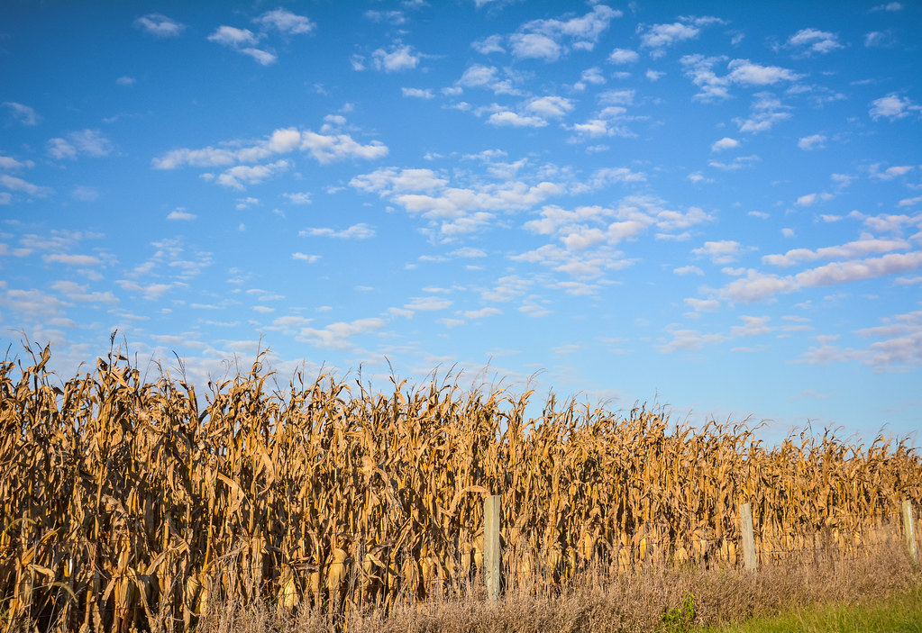
Corn Ready for Harvet
Soybeans Ready for Harvest
Topographic Map of S Arba Pike, Lynn, IN, USA
Find elevation by address:

Places near S Arba Pike, Lynn, IN, USA:
Greensfork Township
7766 S Boundary Pike
6894 S Boundary Pike
S Arba Pike, Lynn, IN, USA
Hoosier Hill
Bethel
US-36, Greenville, OH, USA
9986 Elliott Rd
224 E Church St
Chenoweth Rd, Hollansburg, OH, USA
415 Chenoweth Rd
Lynn
N Main St, Winchester, IN, USA
Franklin Township
9708 In-227
Hollansburg
503 W Church St
New Garden Township
Fountain City
W Main Fountain City Pike, Fountain City, IN, USA
Recent Searches:
- Elevation of Corso Fratelli Cairoli, 35, Macerata MC, Italy
- Elevation of Tallevast Rd, Sarasota, FL, USA
- Elevation of 4th St E, Sonoma, CA, USA
- Elevation of Black Hollow Rd, Pennsdale, PA, USA
- Elevation of Oakland Ave, Williamsport, PA, USA
- Elevation of Pedrógão Grande, Portugal
- Elevation of Klee Dr, Martinsburg, WV, USA
- Elevation of Via Roma, Pieranica CR, Italy
- Elevation of Tavkvetili Mountain, Georgia
- Elevation of Hartfords Bluff Cir, Mt Pleasant, SC, USA