Elevation of Elliott Rd, Fountain City, IN, USA
Location: United States > Indiana > Wayne County > New Garden Township > Fountain City >
Longitude: -84.853673
Latitude: 39.972882
Elevation: 363m / 1191feet
Barometric Pressure: 97KPa
Elevation Map:
Satellite Map:
Related Photos:
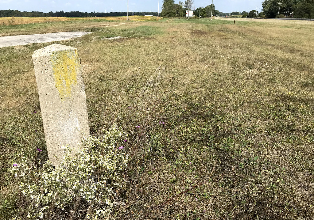
The Northern Arrow Doesn't Run Here Anymore

Baker, Ohio

Gaar Mansion
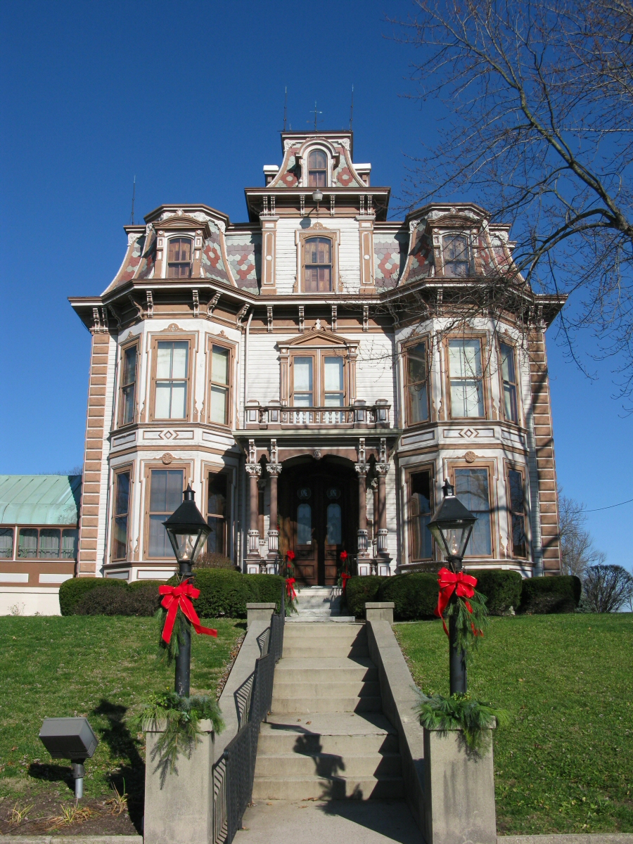
Gaar Mansion

MRI at Reid Hospital

The Gennett Mansion

Mac's Shack

Levi Coffin House

View from the Balcony

Antique Cars

Winter View: Reid Memorial Church

Riverside Trail View

Enjoying the View

Coming Into Richmond

The Cardinal Once Called Here

No More Spirit

Richmond, IN

BALD EAGLE

Aerial View of the Whitewater Gorge, Looking South

View from the Choir Loft

Gaar Mansion at Christmas
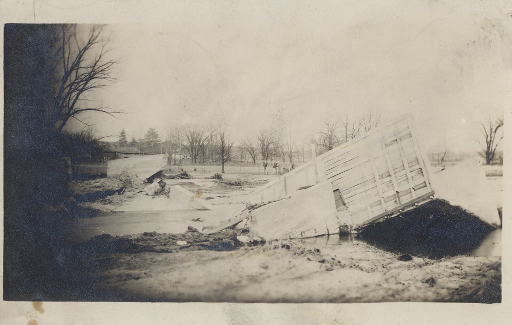
Flood of 1913 - New Paris, Ohio

Corn Ready for Harvet

Garfield Arch

Harvesting the Corn

The Weathered Sign

Transfering Corn to the Wagon

Soybeans Ready for Harvest
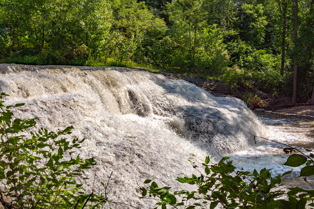
Thistlethwaite Falls, looking east

Fishing Boats

Ready to Bale Straw

Wayne County Sunset

Thistlethwaite Falls

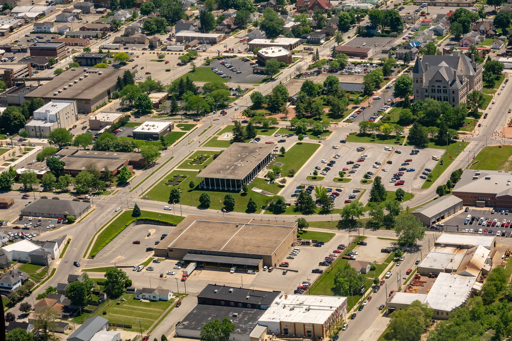
Aerial View of Richmond's Government Campus

Thistlewaite Falls

Aerial View of Veteran's Memorial Park
Aerial View of the Government Campus in Richmond
Springwood Lake

Deerlick at Twilight

Weir Dam and the Richmond Avenue Bridge
Topographic Map of Elliott Rd, Fountain City, IN, USA
Find elevation by address:

Places near Elliott Rd, Fountain City, IN, USA:
Franklin Township
9708 In-227
Bethel
Hoosier Hill
S Arba Pike, Lynn, IN, USA
Hollansburg
New Garden Township
Fountain City
W Main Fountain City Pike, Fountain City, IN, USA
Chenoweth Rd, Hollansburg, OH, USA
S Arba Pike, Lynn, IN, USA
415 Chenoweth Rd
7766 S Boundary Pike
Greensfork Township
6894 S Boundary Pike
US-36, Greenville, OH, USA
224 E Church St
Lynn
N Main St, Winchester, IN, USA
503 W Church St
Recent Searches:
- Elevation of Corso Fratelli Cairoli, 35, Macerata MC, Italy
- Elevation of Tallevast Rd, Sarasota, FL, USA
- Elevation of 4th St E, Sonoma, CA, USA
- Elevation of Black Hollow Rd, Pennsdale, PA, USA
- Elevation of Oakland Ave, Williamsport, PA, USA
- Elevation of Pedrógão Grande, Portugal
- Elevation of Klee Dr, Martinsburg, WV, USA
- Elevation of Via Roma, Pieranica CR, Italy
- Elevation of Tavkvetili Mountain, Georgia
- Elevation of Hartfords Bluff Cir, Mt Pleasant, SC, USA