Elevation of E Henry St, Farmland, IN, USA
Location: United States > Indiana > Randolph County > Monroe Township > Farmland >
Longitude: -85.127293
Latitude: 40.187621
Elevation: 317m / 1040feet
Barometric Pressure: 98KPa
Elevation Map:
Satellite Map:
Related Photos:

Hayride...
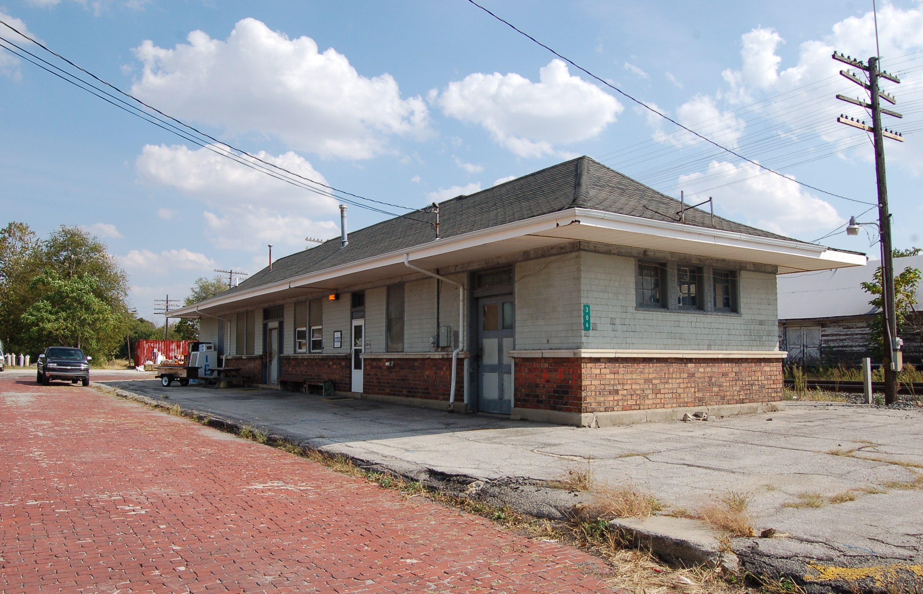
Cleveland, Cincinnati, Chicago & St. Louis Railway, (New York Central Railroad), Indiana, Winchester (13,436)
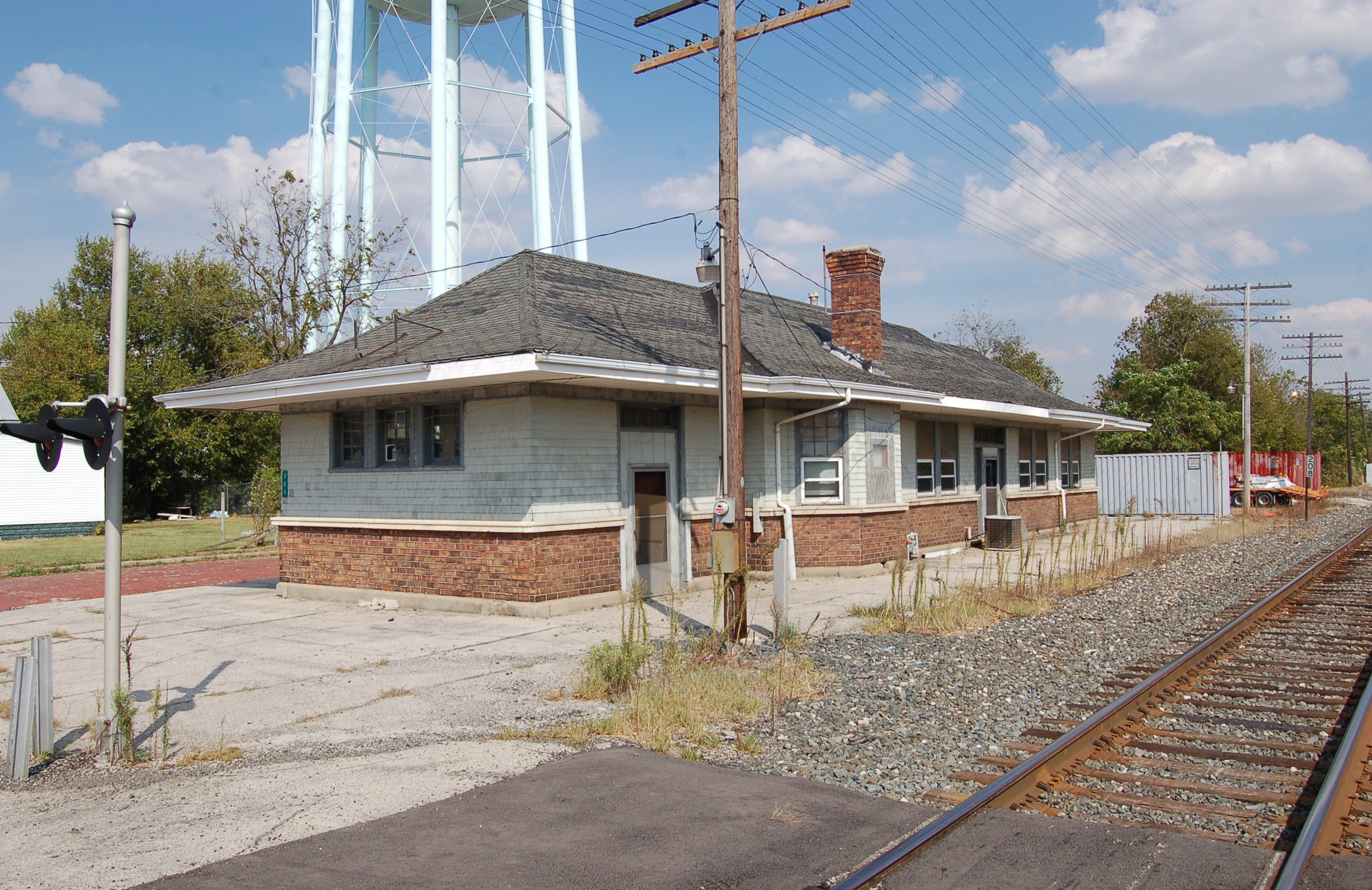
Cleveland, Cincinnati, Chicago & St. Louis Railway, (New York Central Railroad), Indiana, Winchester (13,436-b)

Muncie 70.3 Ironman

It's just one of those days...

Sunrise on Prairie Creek Reservoir. Volunteering at Muncie Ironman. A kayak day.
near S 950 W & W 50 S
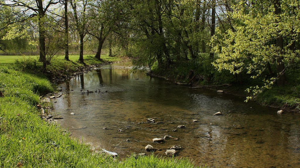
White River, Not Far From Its Beginning
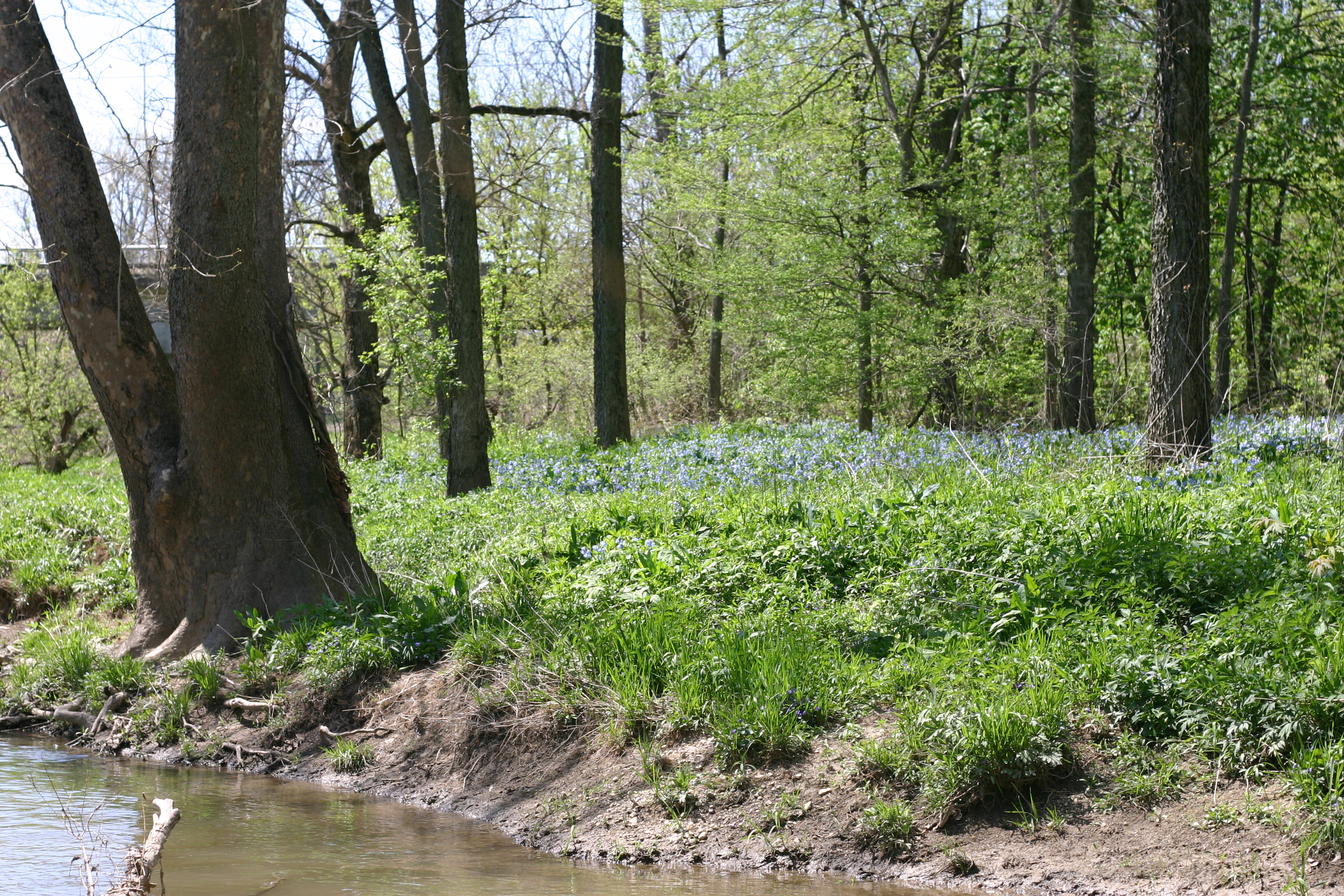
Bluebells in the flood plain
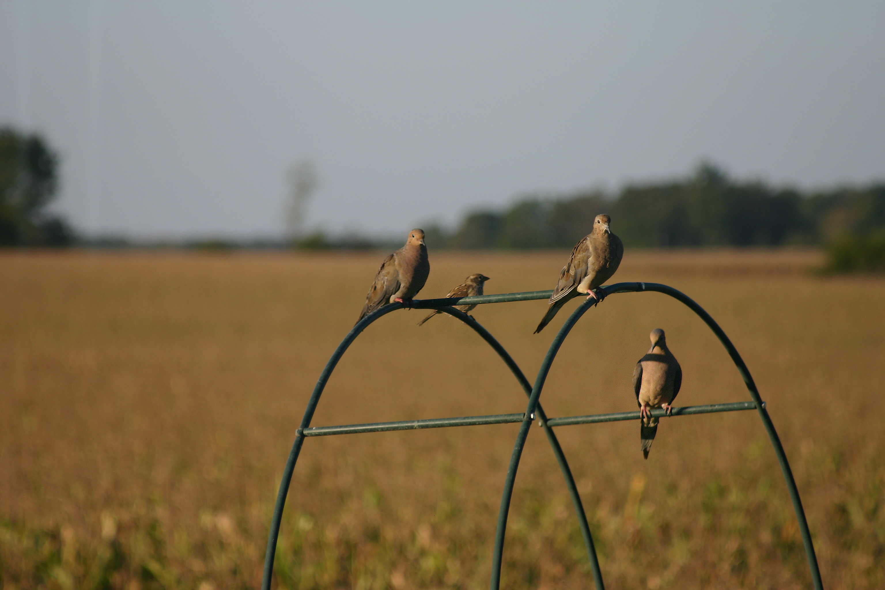
Doves and a sparrow
Topographic Map of E Henry St, Farmland, IN, USA
Find elevation by address:

Places near E Henry St, Farmland, IN, USA:
Farmland
110 E Henry St
401 S Plum St
Farmland Conservation Club
Monroe Township
Stoney Creek Township
W S, Farmland, IN, USA
S Main St, Parker City, IN, USA
Parker City
S W, Farmland, IN, USA
W Windsor Rd, Parker City, IN, USA
Selma
S Albany St, Selma, IN, USA
S E, Selma, IN, USA
Perry Township
Liberty Township
N Co Rd E, Muncie, IN, USA
Liberty Corners
E Jackson St, Muncie, IN, USA
5701 E 650 S Rd
Recent Searches:
- Elevation of Corso Fratelli Cairoli, 35, Macerata MC, Italy
- Elevation of Tallevast Rd, Sarasota, FL, USA
- Elevation of 4th St E, Sonoma, CA, USA
- Elevation of Black Hollow Rd, Pennsdale, PA, USA
- Elevation of Oakland Ave, Williamsport, PA, USA
- Elevation of Pedrógão Grande, Portugal
- Elevation of Klee Dr, Martinsburg, WV, USA
- Elevation of Via Roma, Pieranica CR, Italy
- Elevation of Tavkvetili Mountain, Georgia
- Elevation of Hartfords Bluff Cir, Mt Pleasant, SC, USA