Elevation of Stoney Creek Township, IN, USA
Location: United States > Indiana > Randolph County >
Longitude: -85.168674
Latitude: 40.1470307
Elevation: 317m / 1040feet
Barometric Pressure: 98KPa
Elevation Map:
Satellite Map:
Related Photos:

Hayride...
F2C Preliminary race view from the tower

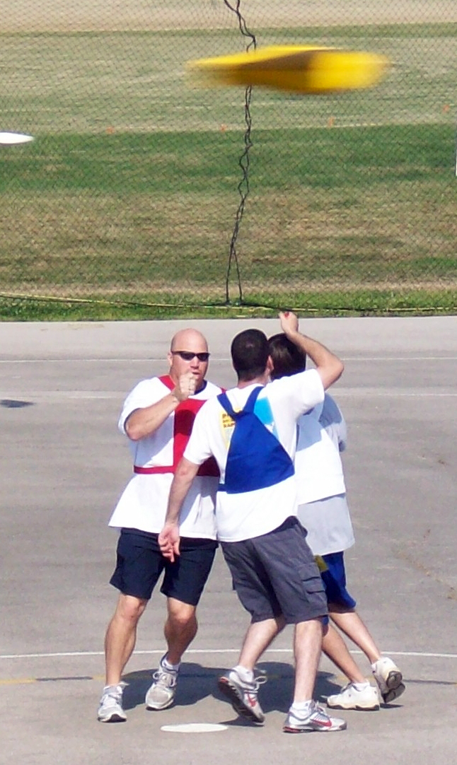
The Threat

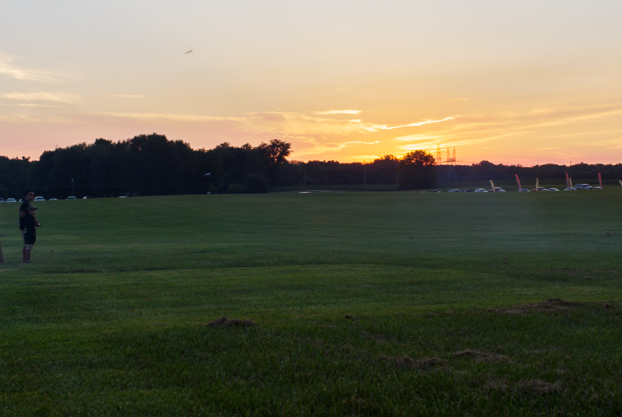
It's just one of those days...

Green Heron
IRCHA-2013-115.jpg

Green Heron
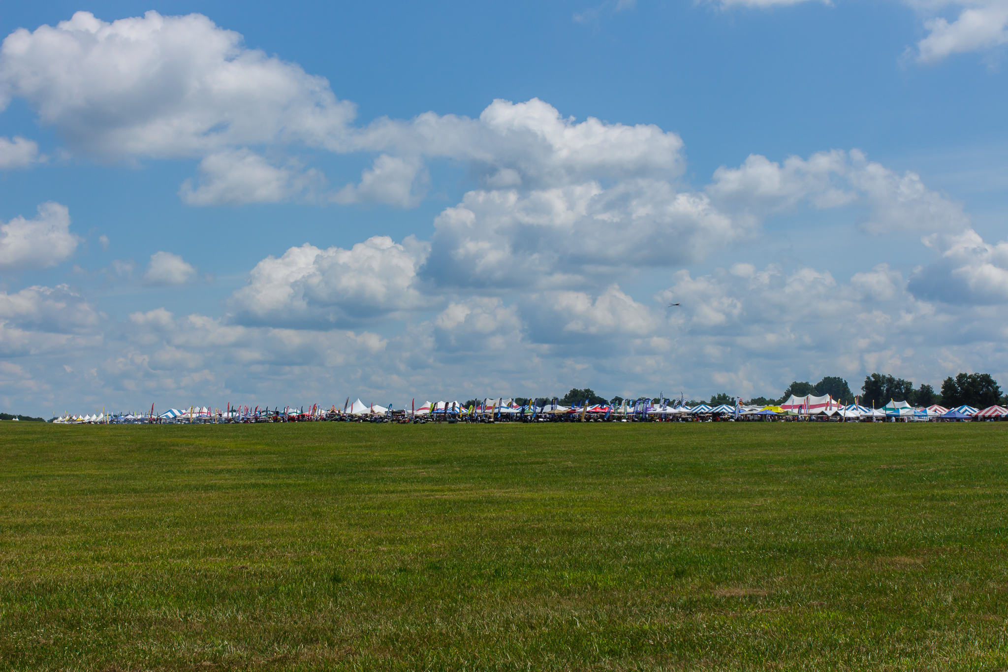
Prelude to Oz

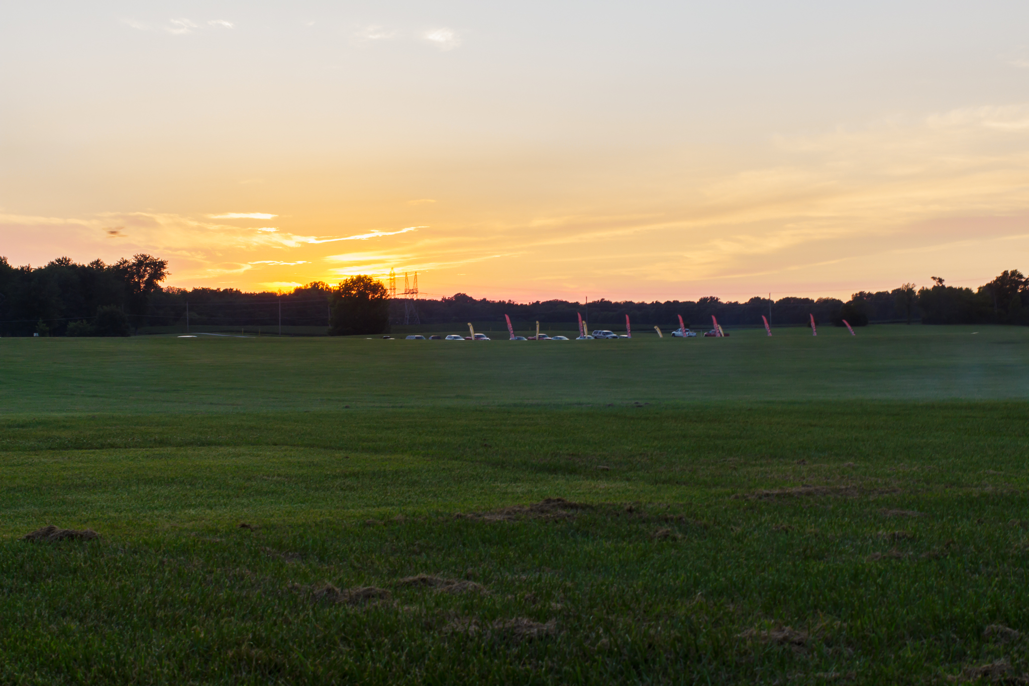
Sunrise on Prairie Creek Reservoir. Volunteering at Muncie Ironman. A kayak day.
IRCHA-2013-130.jpg

Green Heron

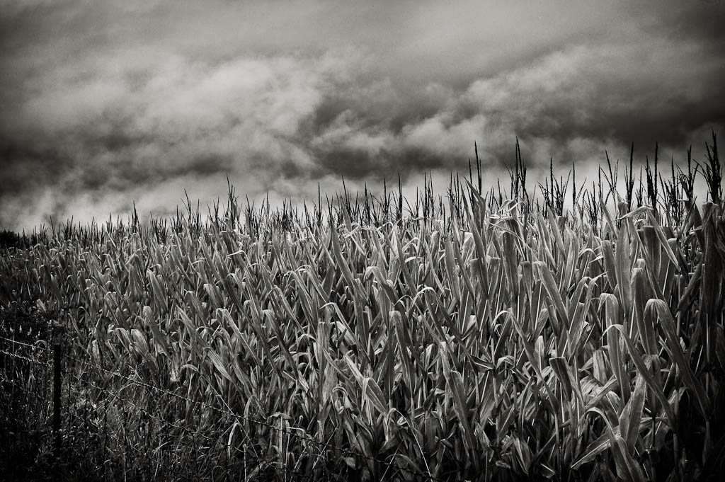
Wide Angle B/W in my back yard

IRCHA-2013-127.jpg

IRCHA-2013-114.jpg

Muncie 70.3 Ironman
IRCHA-2013-131.jpg

Bob Harris hops Bobo

2013 Spring Camporee 035
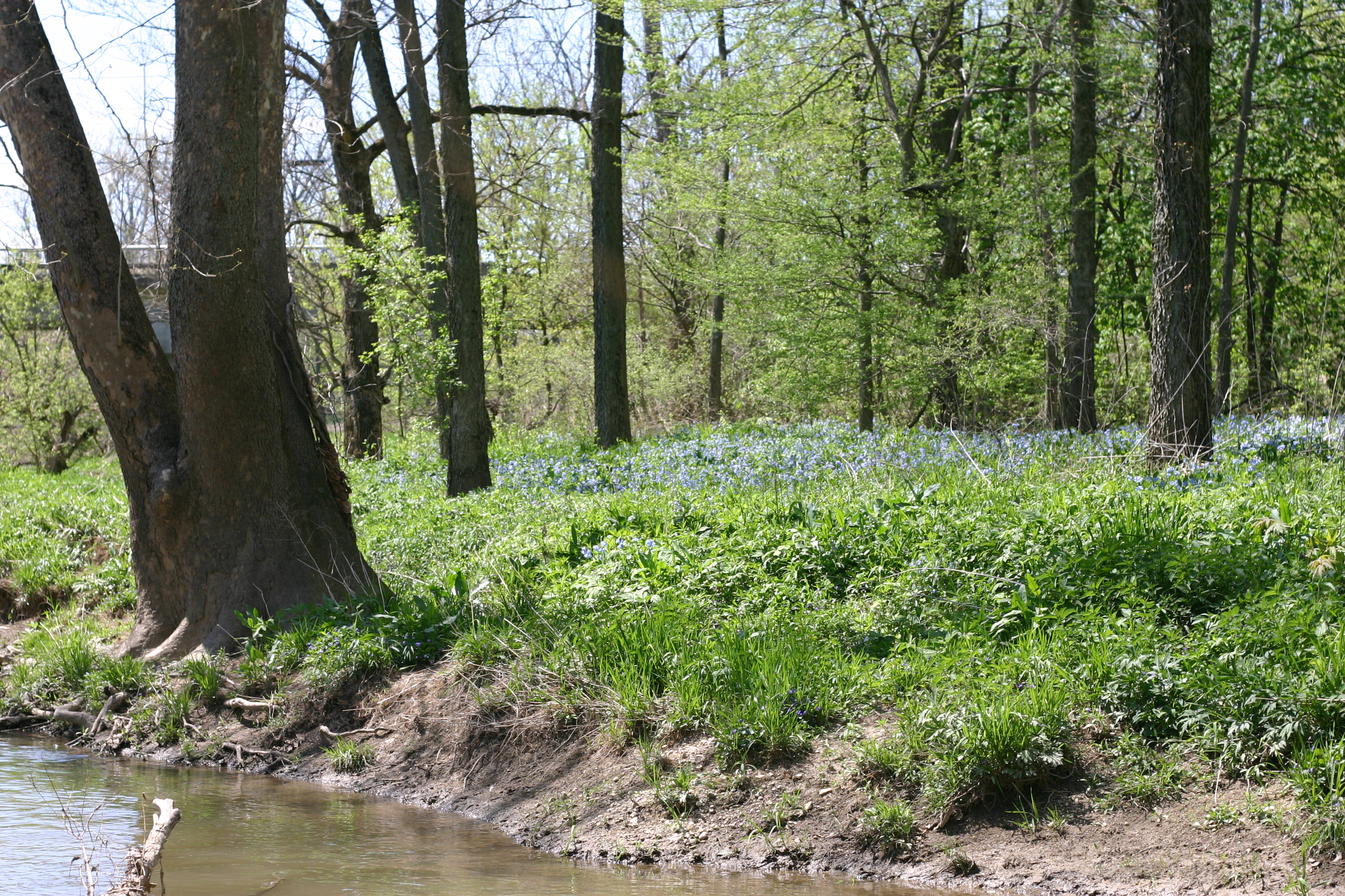
Bluebells in the flood plain

IRCHA-2013-134.jpg

IRCHA-2013-116.jpg
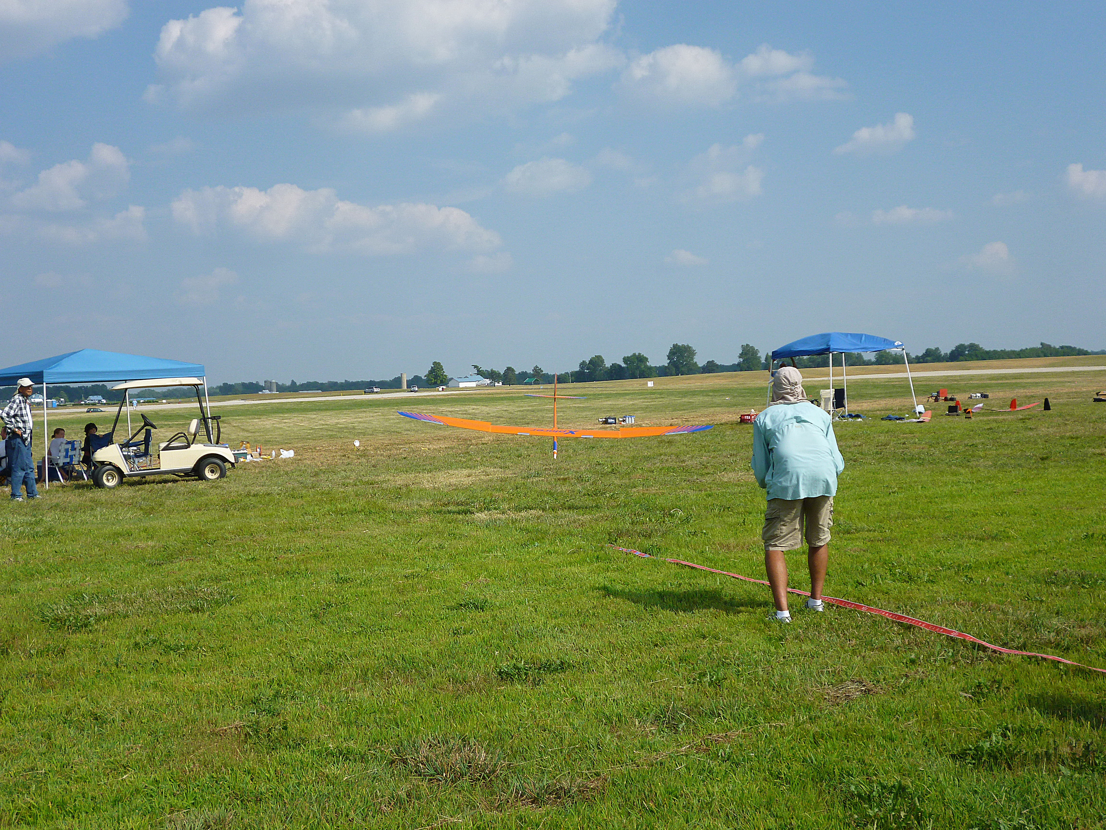
Jody Miller of the Miller Squared Team landing his Xplorer
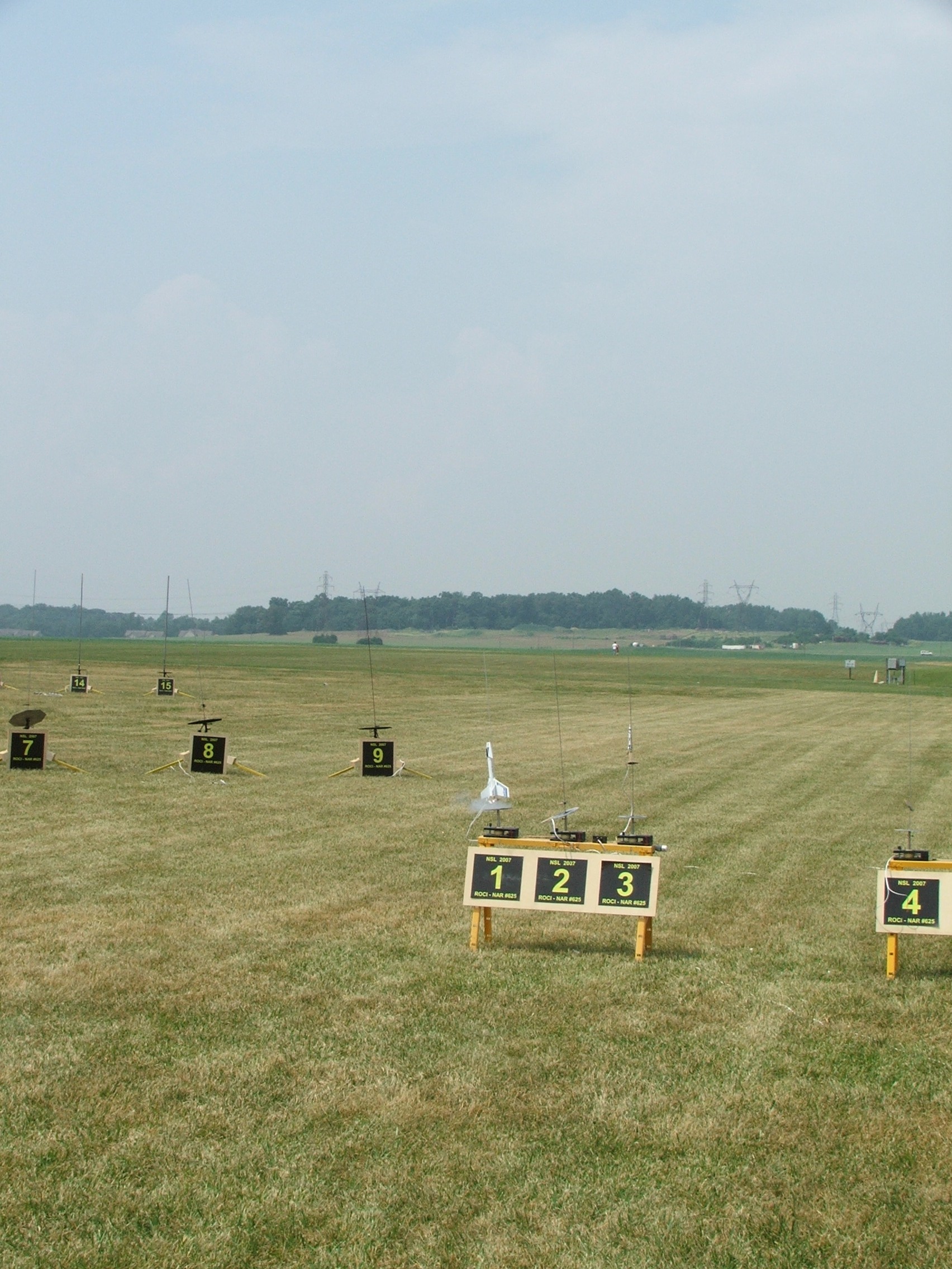
Attack Craft Orion ignition, NSL 2007
Topographic Map of Stoney Creek Township, IN, USA
Find elevation by address:

Places in Stoney Creek Township, IN, USA:
Places near Stoney Creek Township, IN, USA:
W Windsor Rd, Parker City, IN, USA
S W, Farmland, IN, USA
S Main St, Parker City, IN, USA
Parker City
401 S Plum St
E Henry St, Farmland, IN, USA
Farmland
110 E Henry St
Monroe Township
W S, Farmland, IN, USA
Farmland Conservation Club
Perry Township
S E, Selma, IN, USA
Selma
S Albany St, Selma, IN, USA
Liberty Township
5701 E 650 S Rd
N Co Rd E, Muncie, IN, USA
Liberty Corners
E Jackson St, Muncie, IN, USA
Recent Searches:
- Elevation of Corso Fratelli Cairoli, 35, Macerata MC, Italy
- Elevation of Tallevast Rd, Sarasota, FL, USA
- Elevation of 4th St E, Sonoma, CA, USA
- Elevation of Black Hollow Rd, Pennsdale, PA, USA
- Elevation of Oakland Ave, Williamsport, PA, USA
- Elevation of Pedrógão Grande, Portugal
- Elevation of Klee Dr, Martinsburg, WV, USA
- Elevation of Via Roma, Pieranica CR, Italy
- Elevation of Tavkvetili Mountain, Georgia
- Elevation of Hartfords Bluff Cir, Mt Pleasant, SC, USA