Elevation of W Windsor Rd, Parker City, IN, USA
Location: United States > Indiana > Randolph County > Stoney Creek Township >
Longitude: -85.212769
Latitude: 40.1543912
Elevation: 311m / 1020feet
Barometric Pressure: 98KPa
Elevation Map:
Satellite Map:
Related Photos:

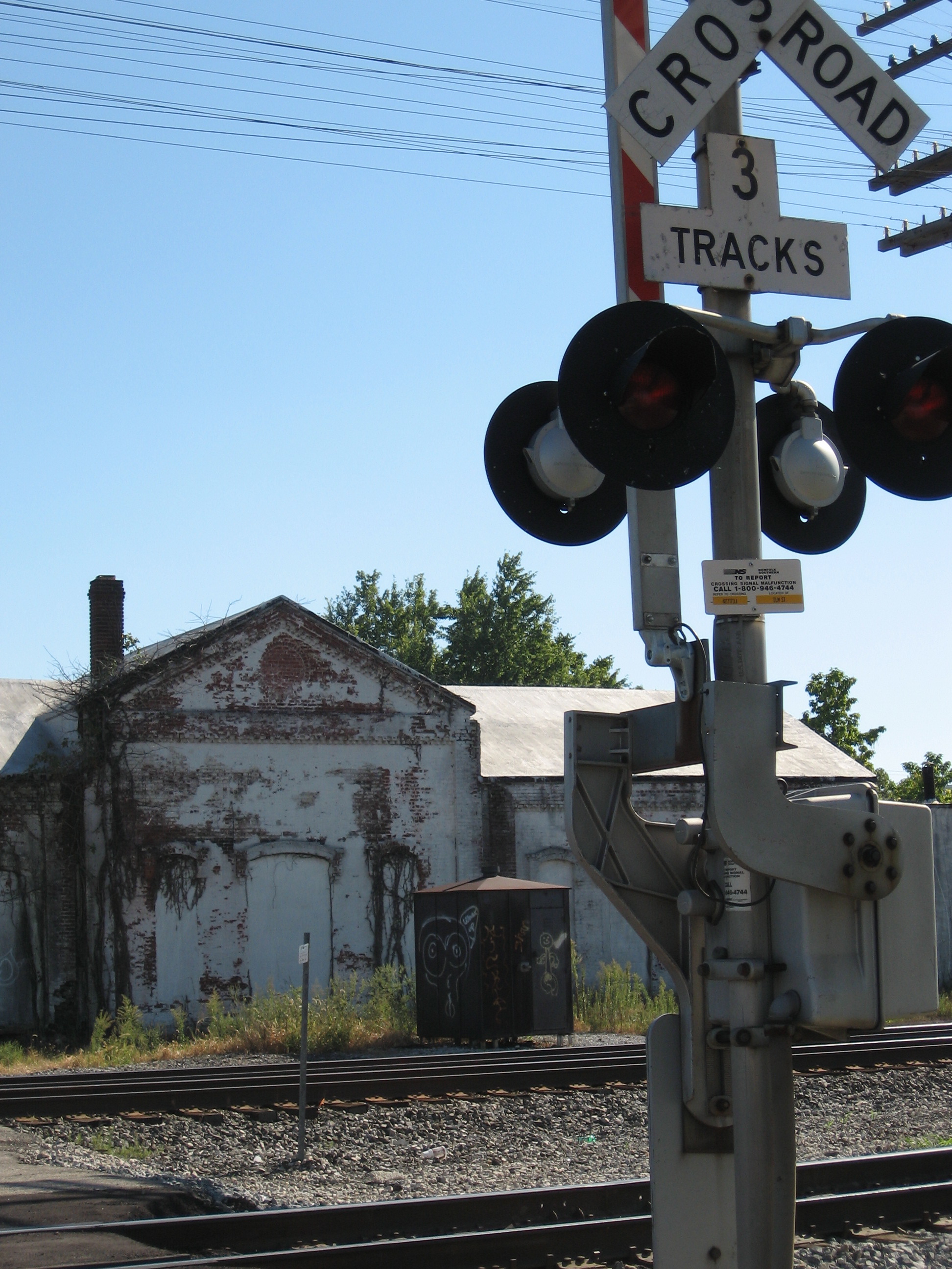
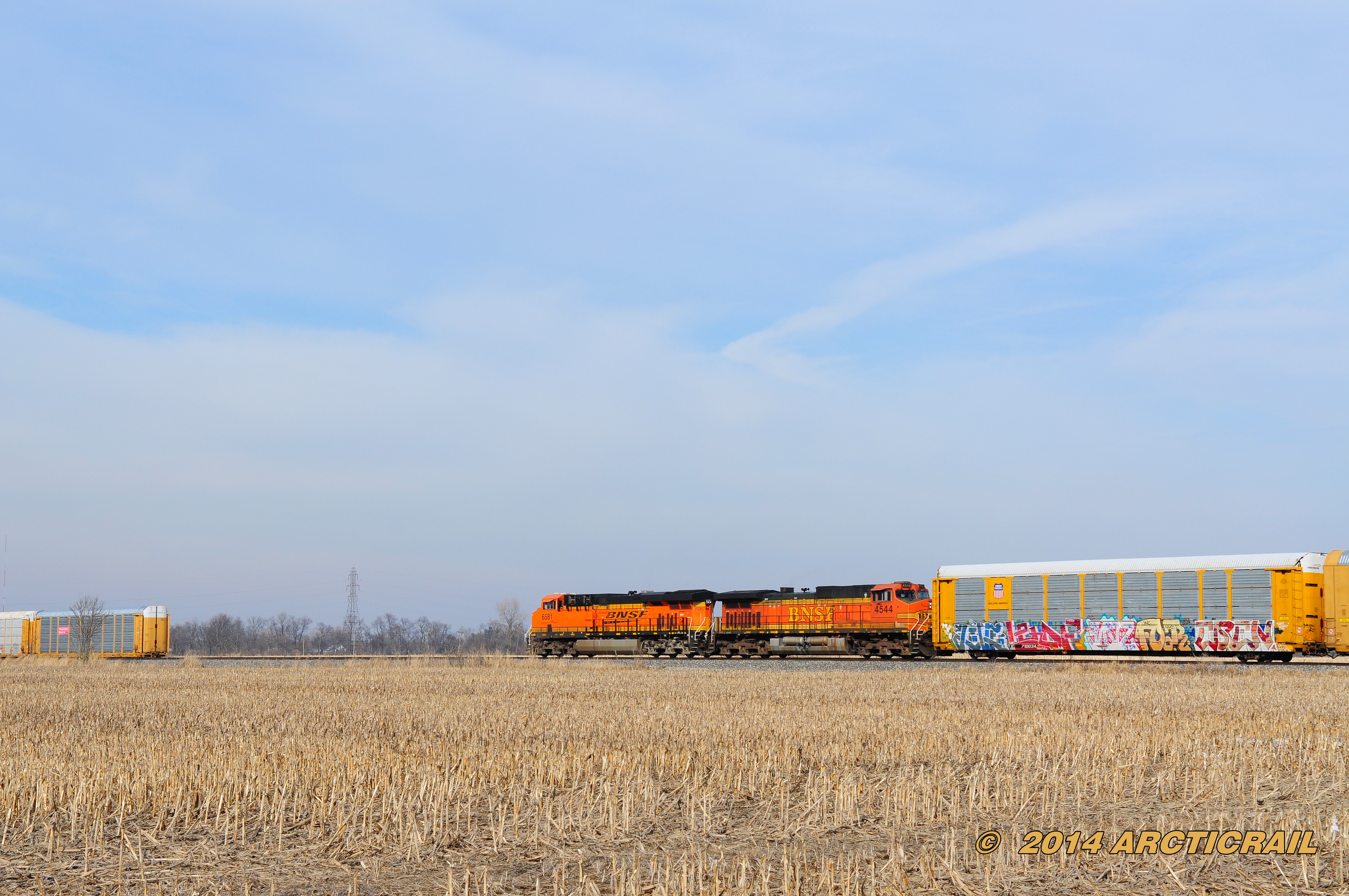
Rail View
wrong side of the tracks

A View To The Past

seans head full view

1115 East 1st Street - Muncie street view

Christmas Tree for 2008

front view

Minnetrista 07-21-2015 - Flower 55 Rose Marijke Koopman
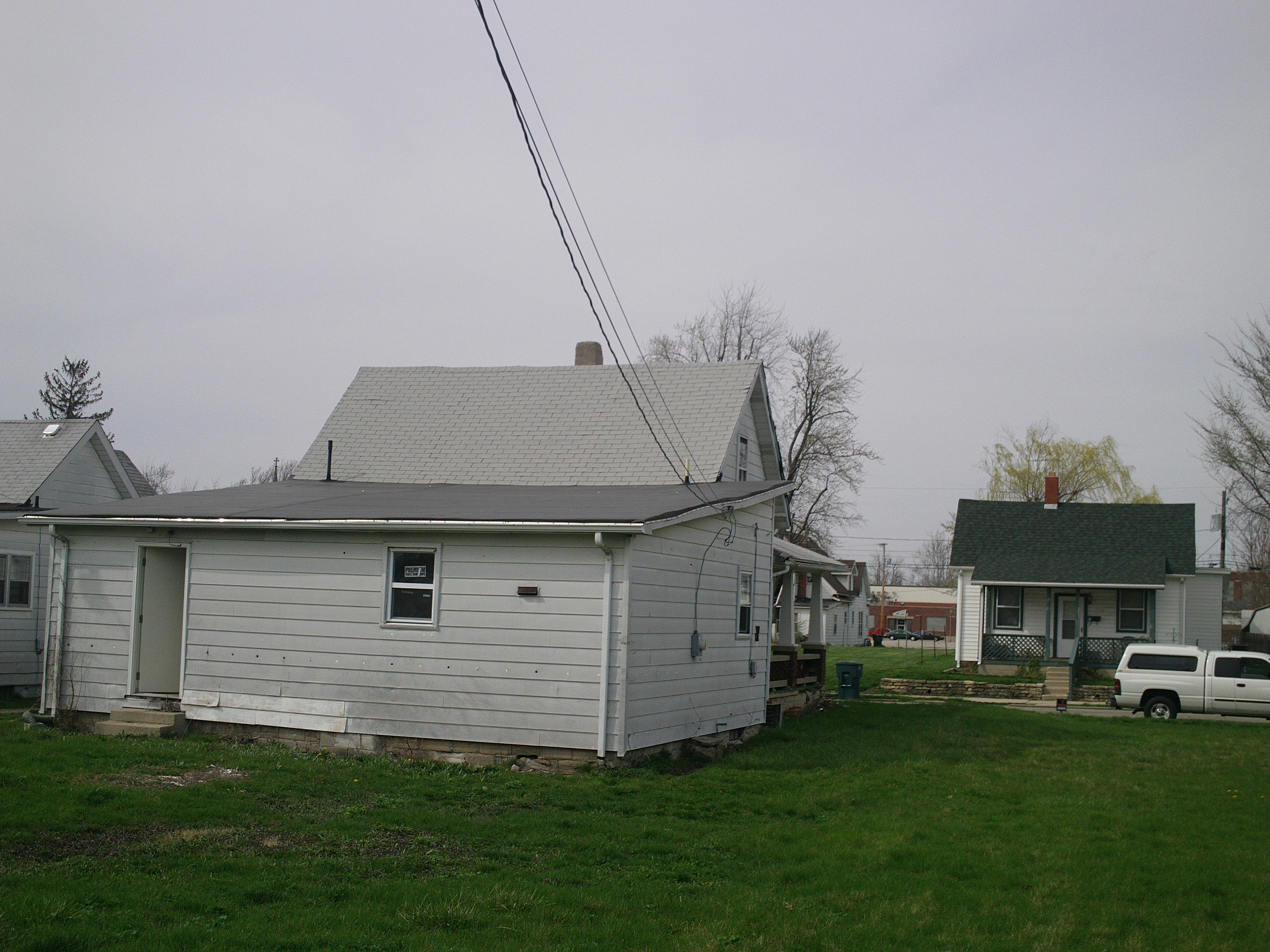
rear view
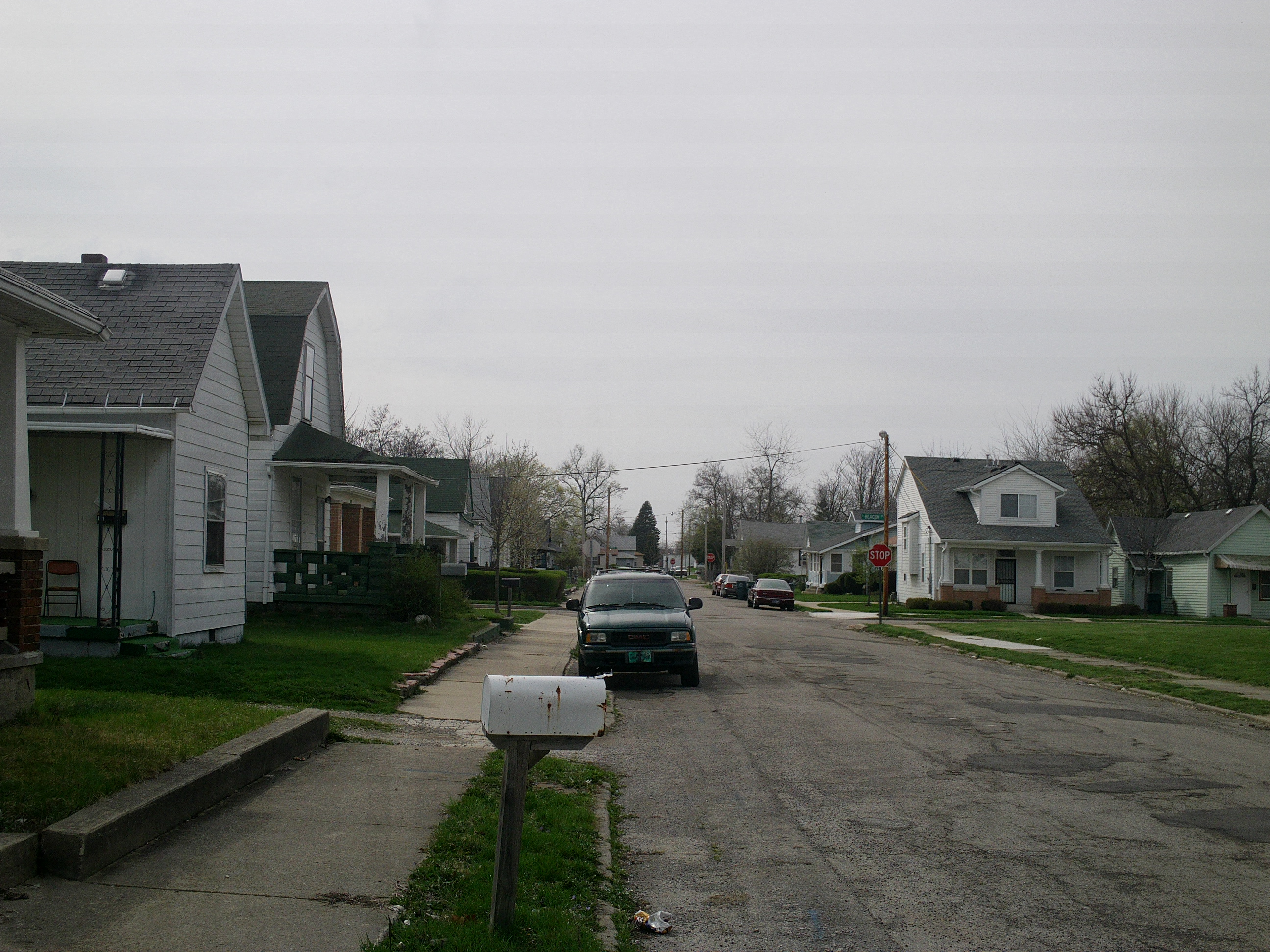
view of neighboorhood

3 Million

Sunflowers...

As my cares blow by

Recession Beer...

Hayride...

Had this snce came out this issue changed my entire view of tattooing as a skateboarder #skateboarding #tattoohistory #partmanpartmachine #1990 #thrasher #heavyhitters
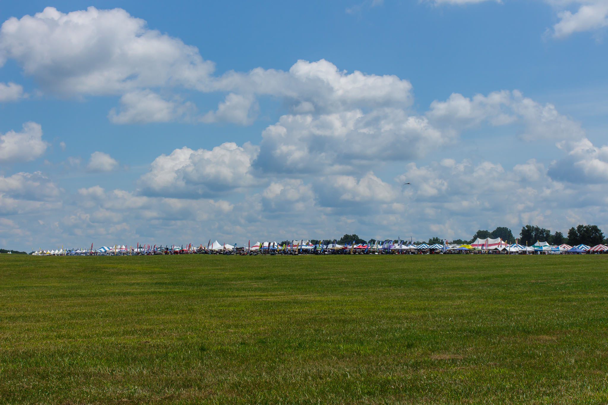
F2C Preliminary race view from the tower

The Threat

It's just one of those days...
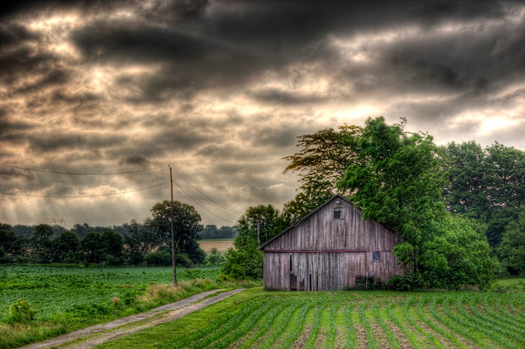
Barn of the Apocalypse.

Yellow Warbler
IRCHA-2013-115.jpg
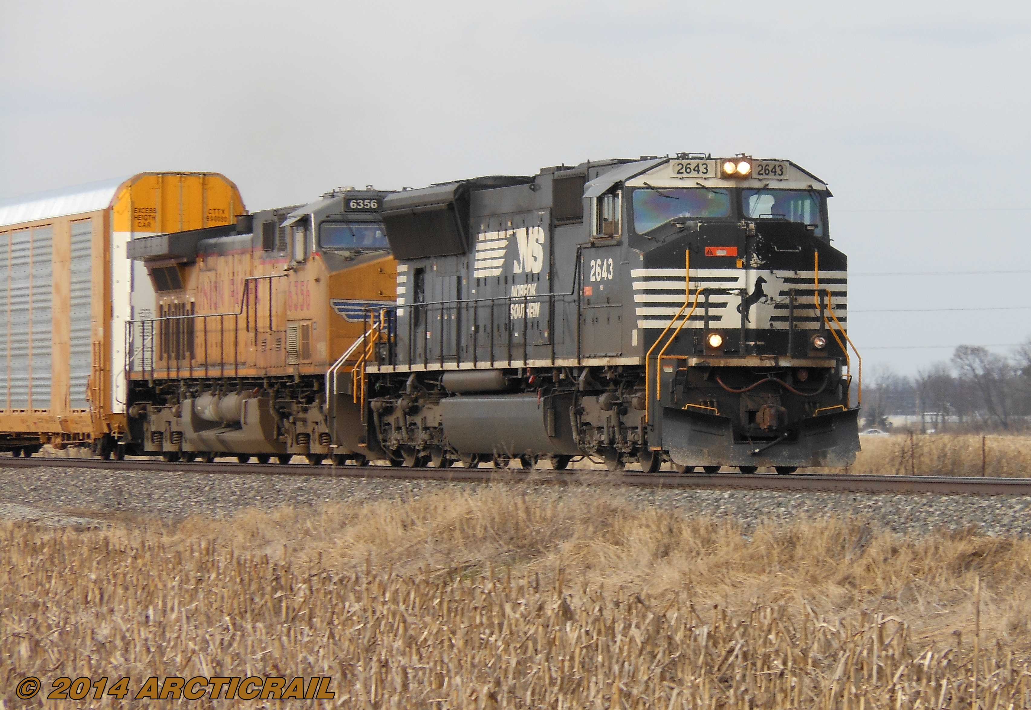
Roll South
Prelude to Oz
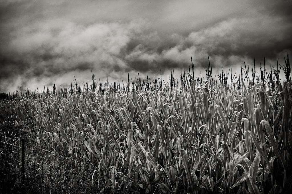
Pumpkin Patch

Sunrise on Prairie Creek Reservoir. Volunteering at Muncie Ironman. A kayak day.
IRCHA-2013-130.jpg

Wide Angle B/W in my back yard

IRCHA-2013-127.jpg

IRCHA-2013-114.jpg

First Uploads
Summit Lake State Park
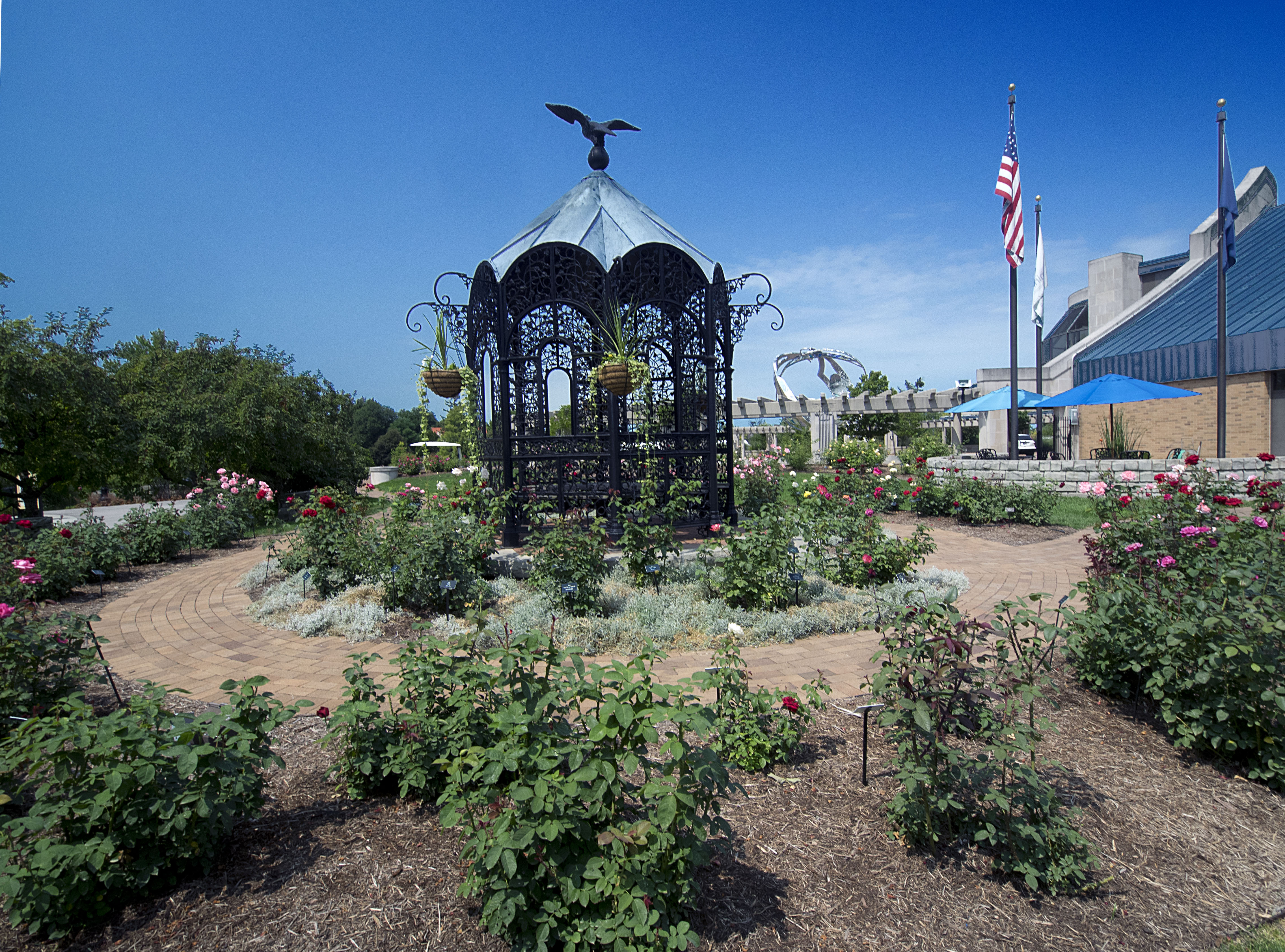
Minnetrista 07-29-2014 - Rose Garden Gazebo

Green Heron

Green Heron
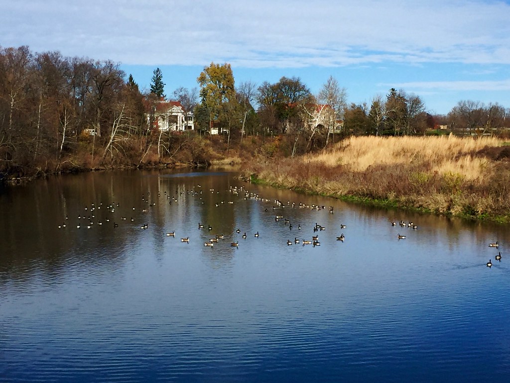
White River at Minnetrista with Geese - 2015.11.21

Female Red Winged Blackbird
20081108-121036
Topographic Map of W Windsor Rd, Parker City, IN, USA
Find elevation by address:

Places near W Windsor Rd, Parker City, IN, USA:
Parker City
S Main St, Parker City, IN, USA
Stoney Creek Township
S E, Selma, IN, USA
Perry Township
Selma
S Albany St, Selma, IN, USA
S W, Farmland, IN, USA
Monroe Township
Liberty Township
Farmland
E Henry St, Farmland, IN, USA
401 S Plum St
110 E Henry St
5701 E 650 S Rd
W S, Farmland, IN, USA
N Co Rd E, Muncie, IN, USA
Liberty Corners
E Jackson St, Muncie, IN, USA
Farmland Conservation Club
Recent Searches:
- Elevation of Corso Fratelli Cairoli, 35, Macerata MC, Italy
- Elevation of Tallevast Rd, Sarasota, FL, USA
- Elevation of 4th St E, Sonoma, CA, USA
- Elevation of Black Hollow Rd, Pennsdale, PA, USA
- Elevation of Oakland Ave, Williamsport, PA, USA
- Elevation of Pedrógão Grande, Portugal
- Elevation of Klee Dr, Martinsburg, WV, USA
- Elevation of Via Roma, Pieranica CR, Italy
- Elevation of Tavkvetili Mountain, Georgia
- Elevation of Hartfords Bluff Cir, Mt Pleasant, SC, USA